Click here for full details, photos, etc:
Snodgrass Avalanche
Name: Brian Goldstein
Title: Snodgrass Avalanche
Location: Crested Butte Area
Date of Observation: 11/25/2014
Aspect: North East
Elevation: 11,000
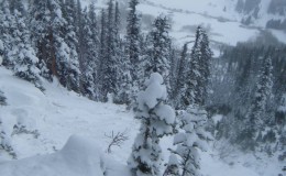
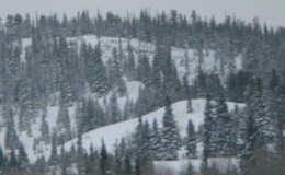
Avalanches: Observed an Avalanche on the Northface of Snodgrass in between first bowl and second above the open pillow zone. Propagated 120 feet wide and was much bigger than the anticipated potential. Probably an R3D2.5. Ran approx. 500 feet into the terrain trap below snapping numerous small trees. Almost propagated an additional 40 feet, but stopped with a major crack on a knob above an adjacent gully. We were observing the terrain from sheltered trees about 5 feet from an open area on the ridge above the rock formations/pillows. Aspect was NorthEast. We stomped around above some convexities with no reaction. Deciding the terrain was unsafe we turned around, walked five feet into the trees and the slope was remotely triggered presumably from a small buried tree. Slid all the way to the ground. The storm slab, and slab from last week, slid on the weak faceted layer at the base of the snowpack, taking the entire snowpack with it. One other wumph was observed in the same area prior to the slide. The crown was approx 60 cm. Consistent crown with no obvious wind deposits, although this specific area is subject to wind loading due to its exposure and openness compared to the rest of the snodgrass trees. Slope angle averaged about 38 degrees as the starting zone.
Weather: Light to moderate winds. Moderate temps (21ish?). Snowing S1.
Snowpack: 60-100 cm
- 11/25 Alternate view (photo: Kitt Haven)
- 11/25 Overview of slide (Photo: Kitt Haven)
- Snodgrass north aspect (Photo: Brian Goldstein)
Remotely Triggered Avalanche on 11.25.2014
Catagorized : (SS-R2-D2-AS-O/G)
Mount Owen Jenga Chute Avalanche
The CBAC got up to Mount Owen today to investigate yesterday’s slide that caught and carried two skiers as they boot packed up Jenga Chute. The slide broke above the pair near the top of the couloir as they were about halfway up the chute. The area received 10-12″ of snow on the night of November 2nd which fell on a variety of surfaces ranging from bare ground to up to 2ft residual of snow from the few storms that rolled through the Elk Mountains in October.
The avalanche should be classified SS-AF-R2-D1.5-O/G. The slope angle ranged from 37-41º on an ENE facing slope (61º). It ran ~400 vertical feet from ~12,600ft to 12,200ft. Debris width spread about 60ft wide, ranging in depth from 40-150cm deep.
The snow structure of the slab in the couloir consisted of two distinct graupel layers that fell in our most recent storm, capped by a thin windslab generally 3-6″ deep created by light winds during and after the storm; however, the new snow has drifted into 1-2ft deep isolated pockets. The slab failed and ran on a 4cm “pencil+” hard melt freeze crust from the October 12th storm, although it did scour down to rock within parts of slide path. Up to 50cm of 1-2mm faceted grains remained below the bed surface, which will continue to mature/grow in size as the season progresses, likely causing more concerning instabilities in the months to come, in this location and surrounding slopes.
The CBAC would like to genuinely and humbly thank those involved for sharing their experience for the greater awareness of our Crested Butte backcountry community as we plunge into another winter.


