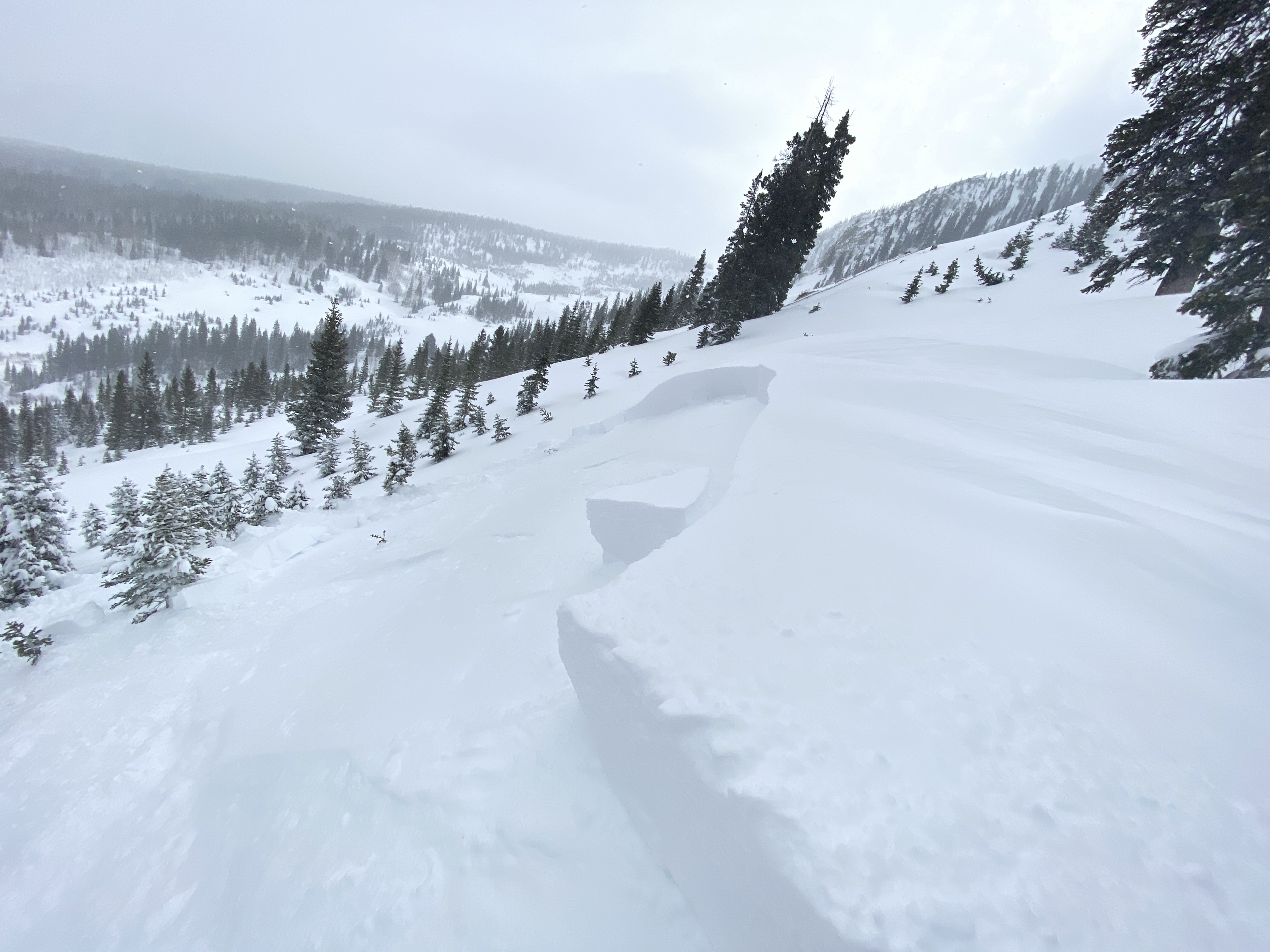
Paradise Divide S/SW

CB Avalanche Center2019-20 Observations

Location: Paradise Divide Area
Date of Observation: 01/25/2020
Name: Joey Carpenter
Subject: Paradise Divide S/SW
Aspect: South, South West, West
Elevation: 11k-12250k
Avalanches:
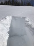
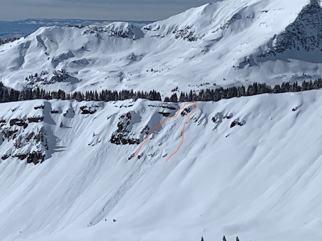
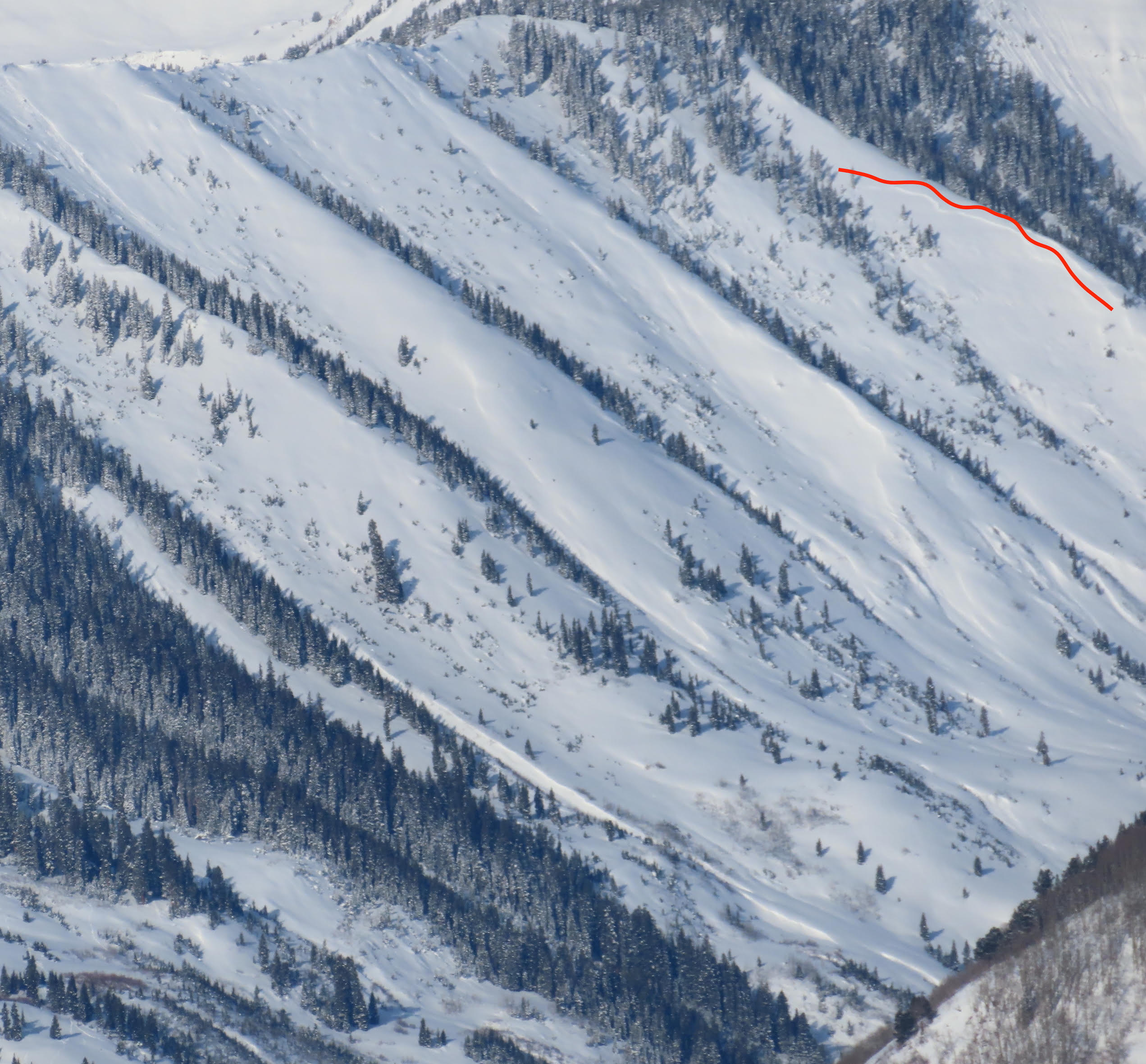
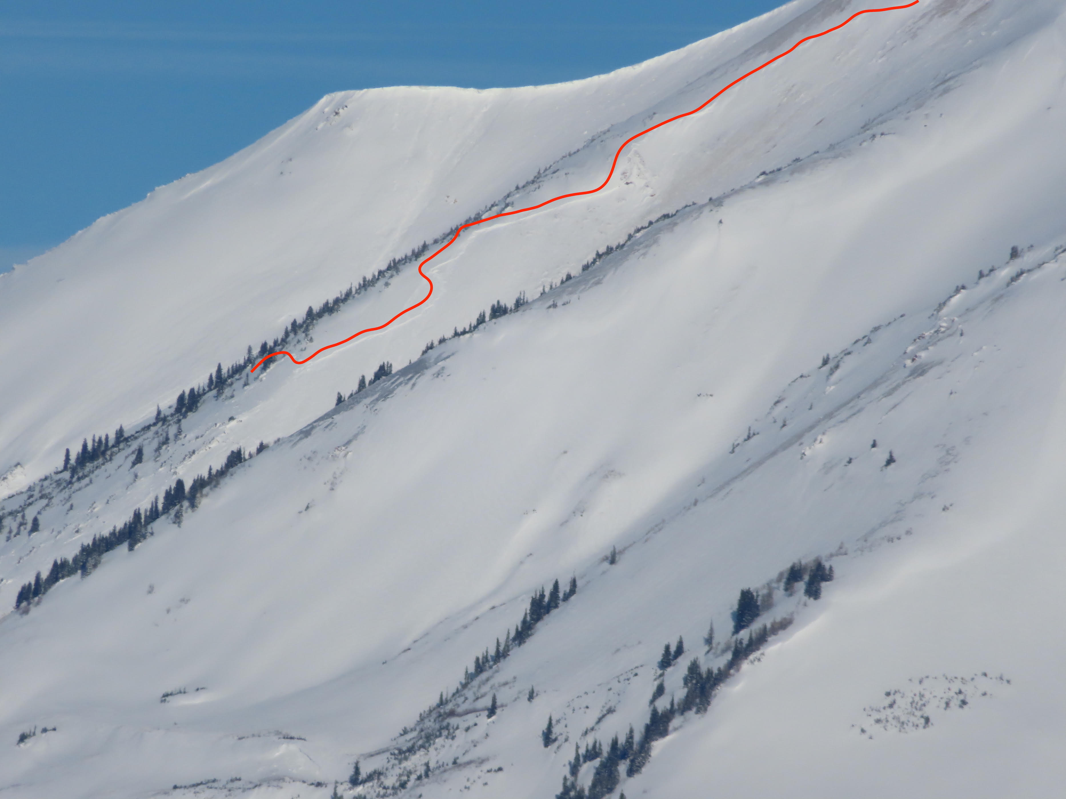
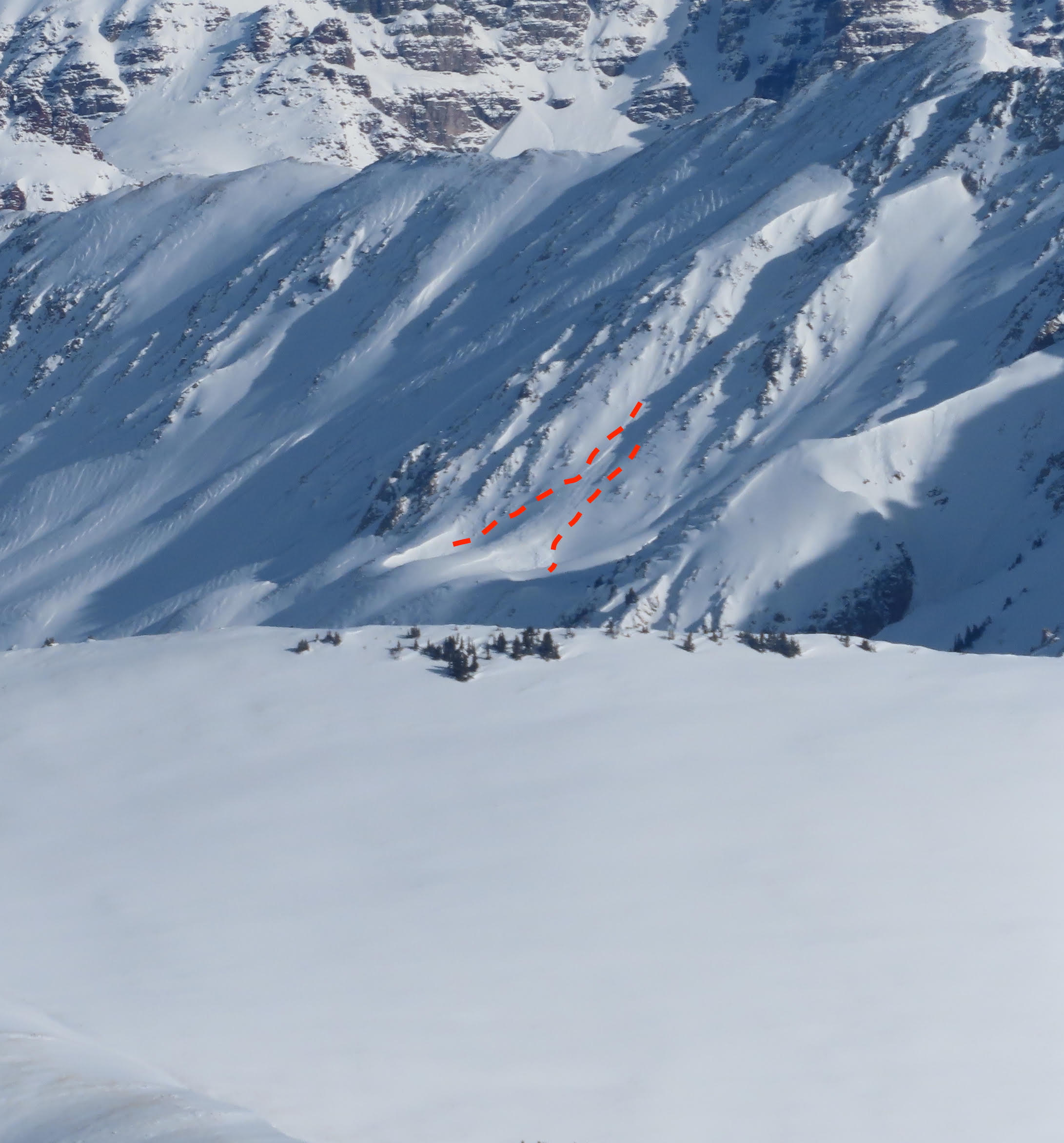
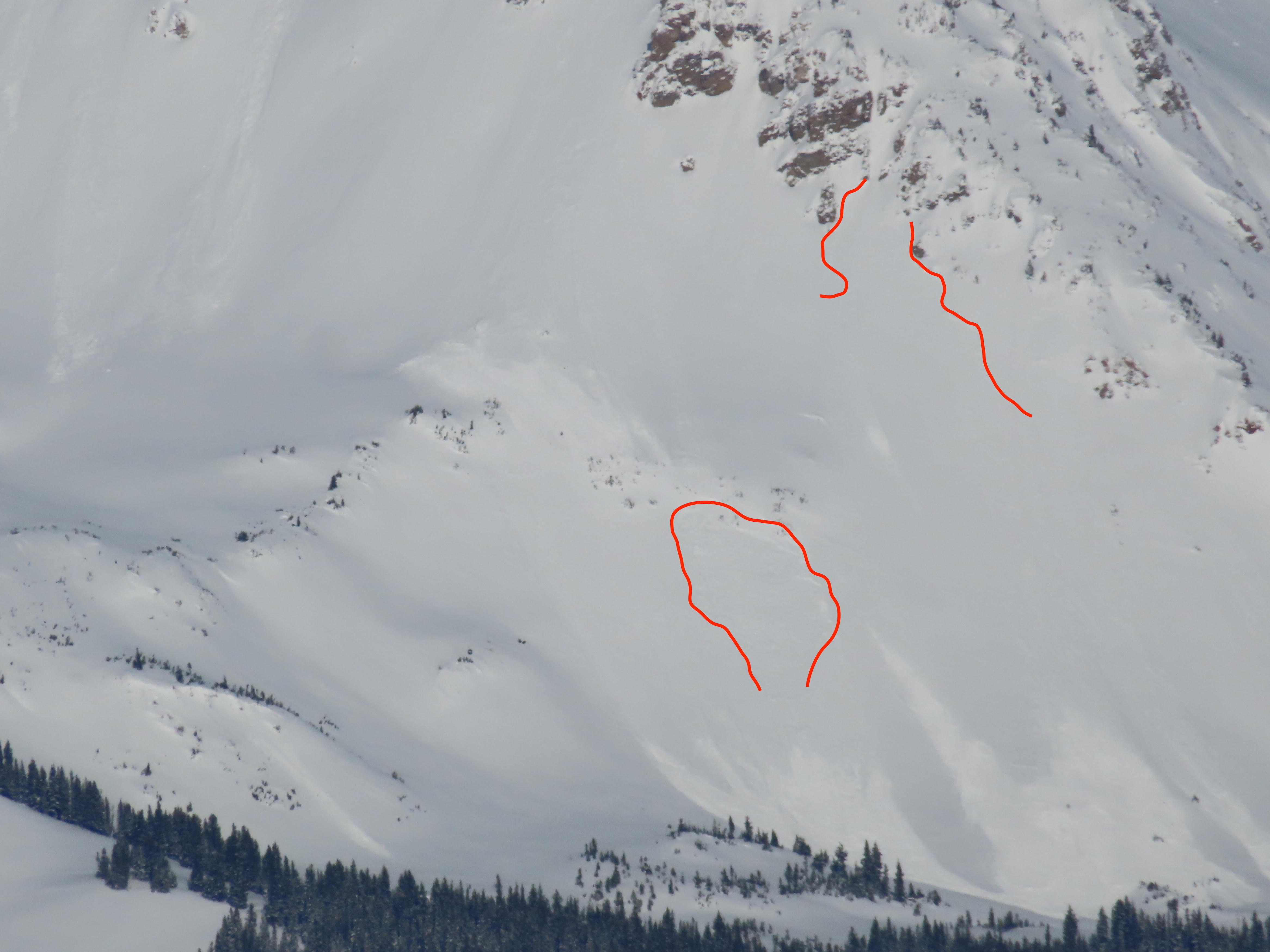
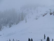
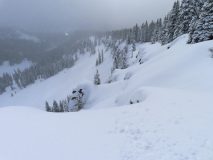
Glide cracks creeping down throughout the day on repeater path @ purple palace, ~10k.
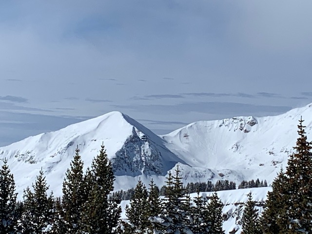
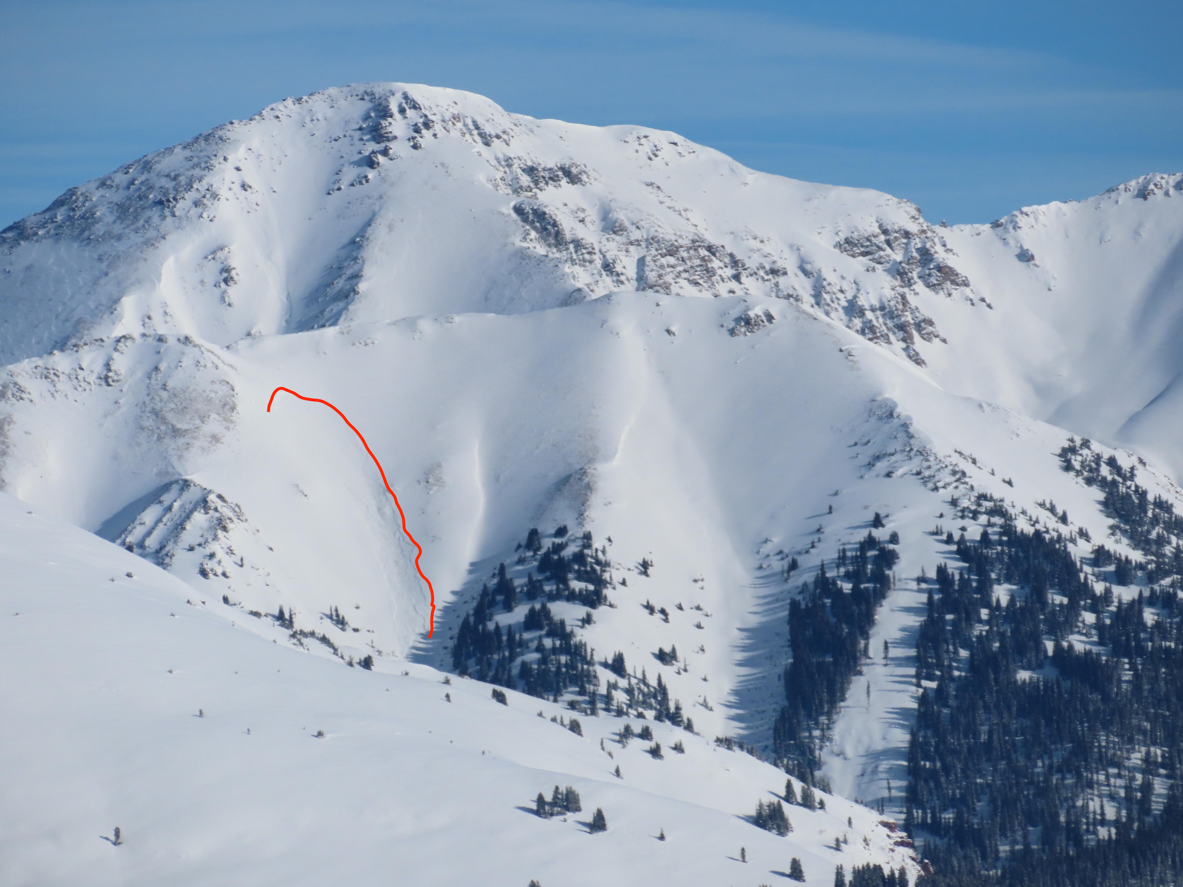
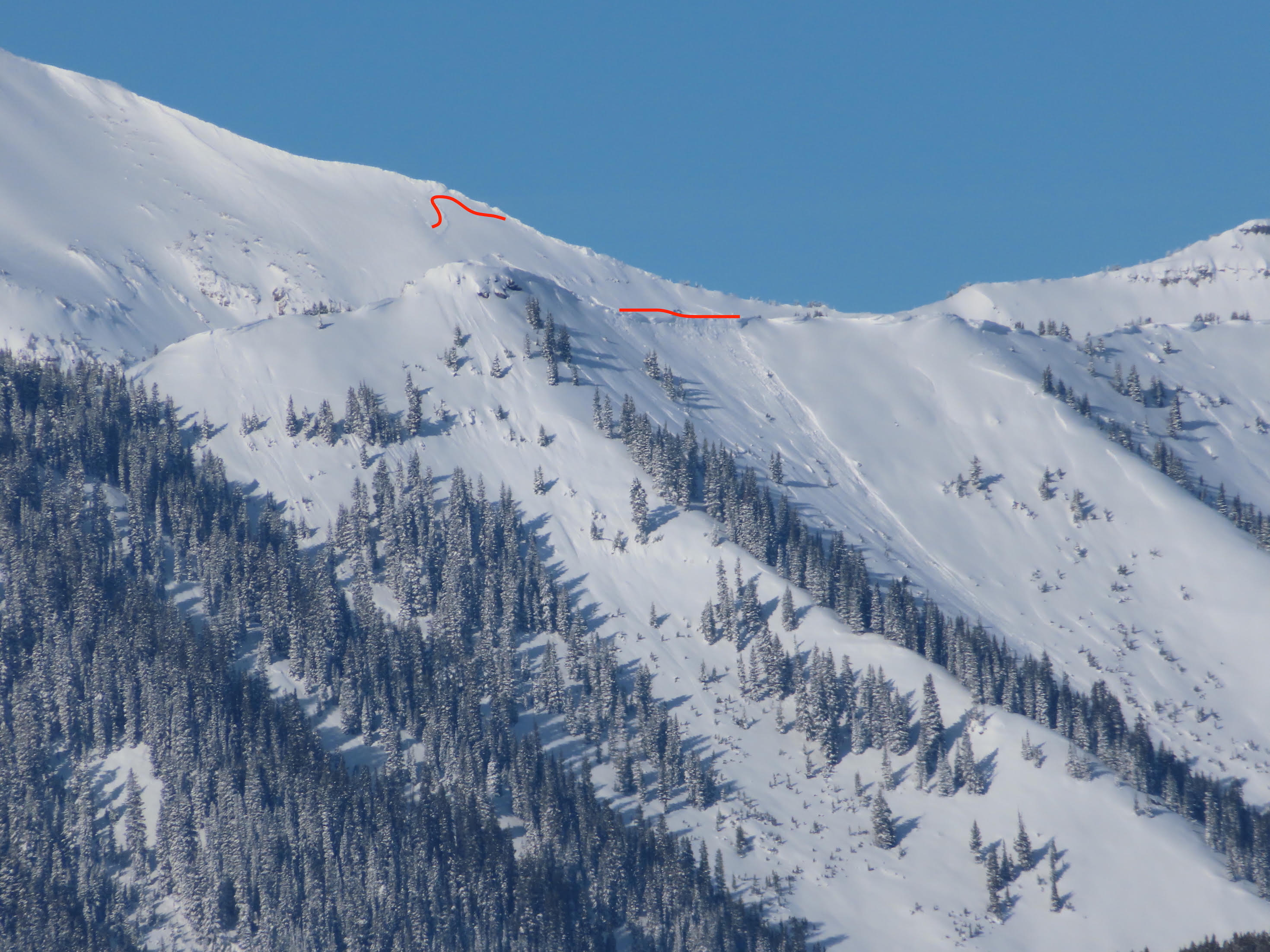
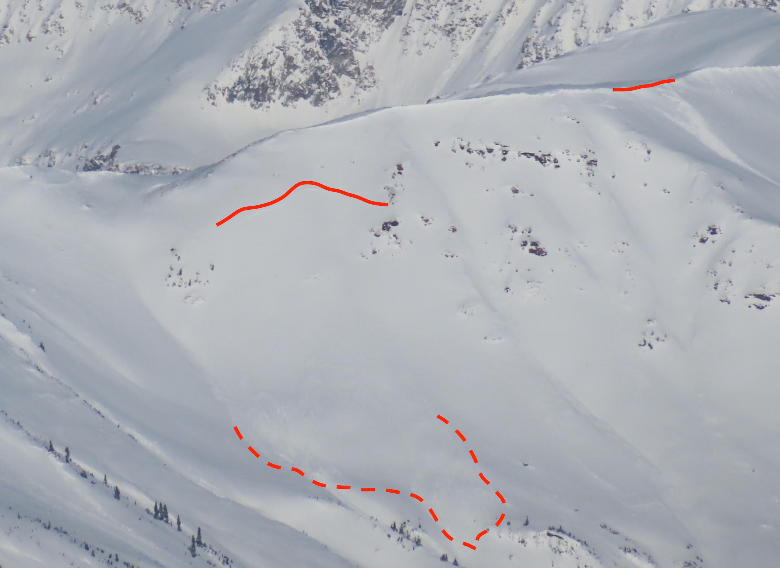
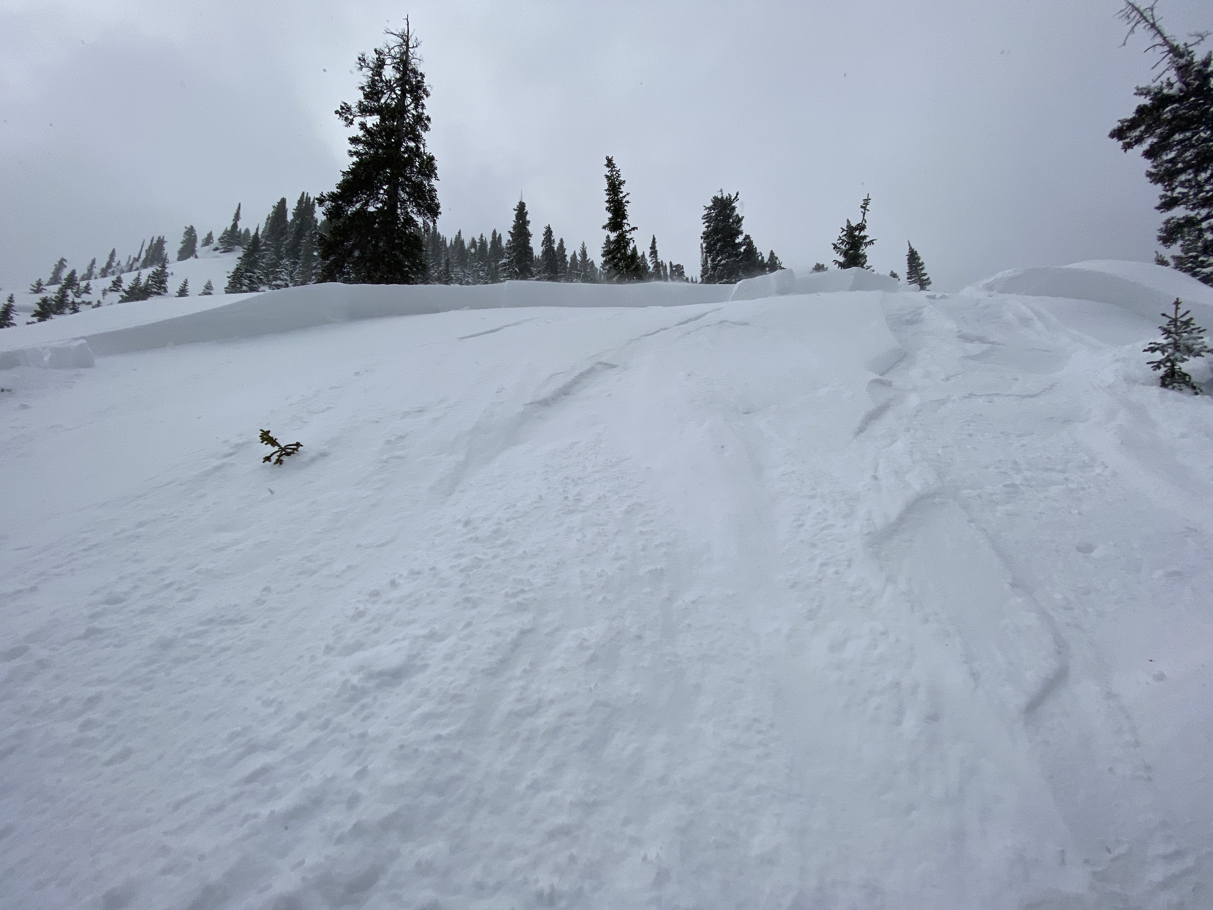
2ish day old windslab W face gothic, crossloaded feature. Appeared to be confined to recent storm snow.
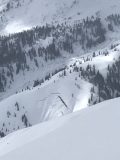
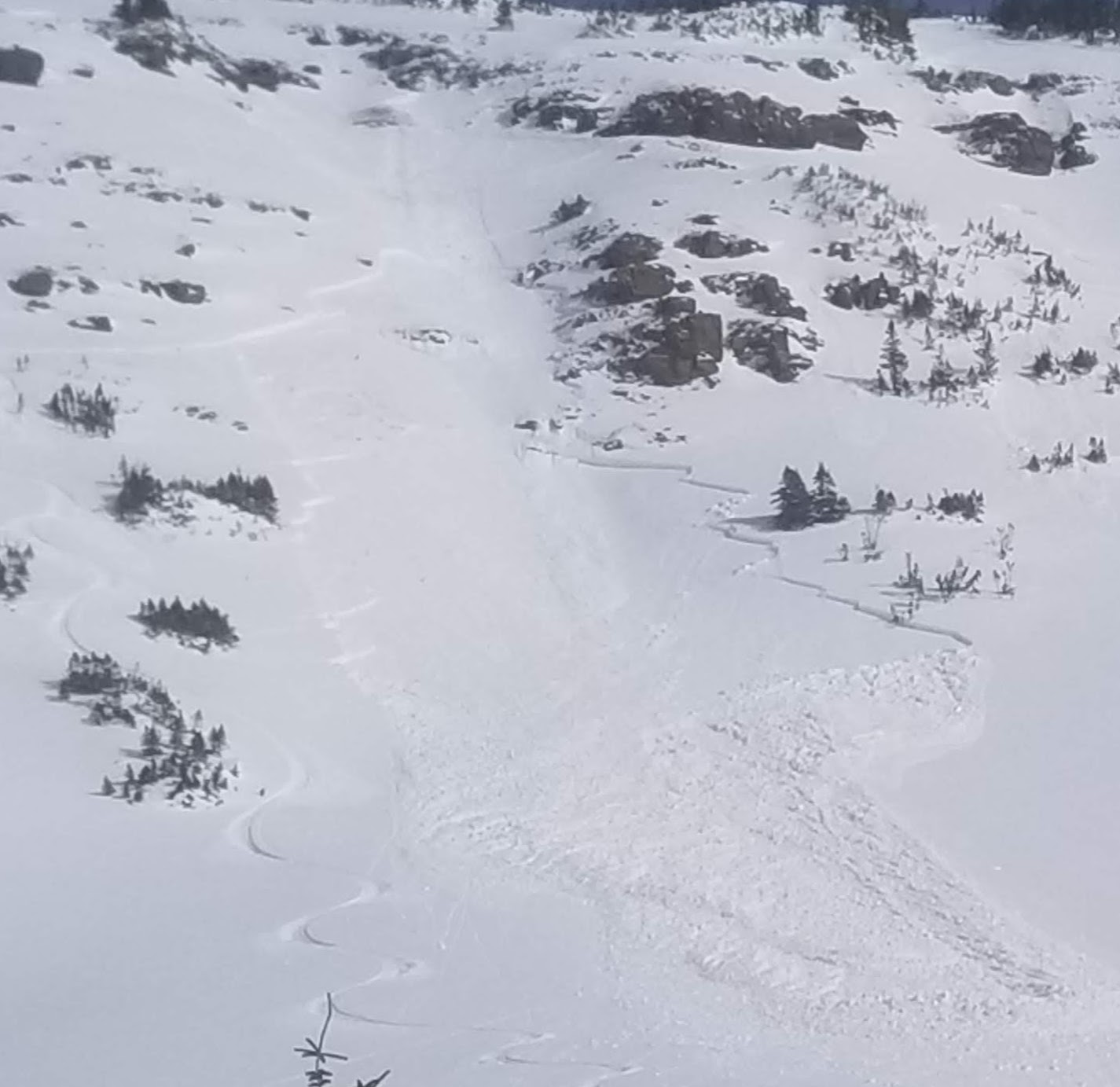
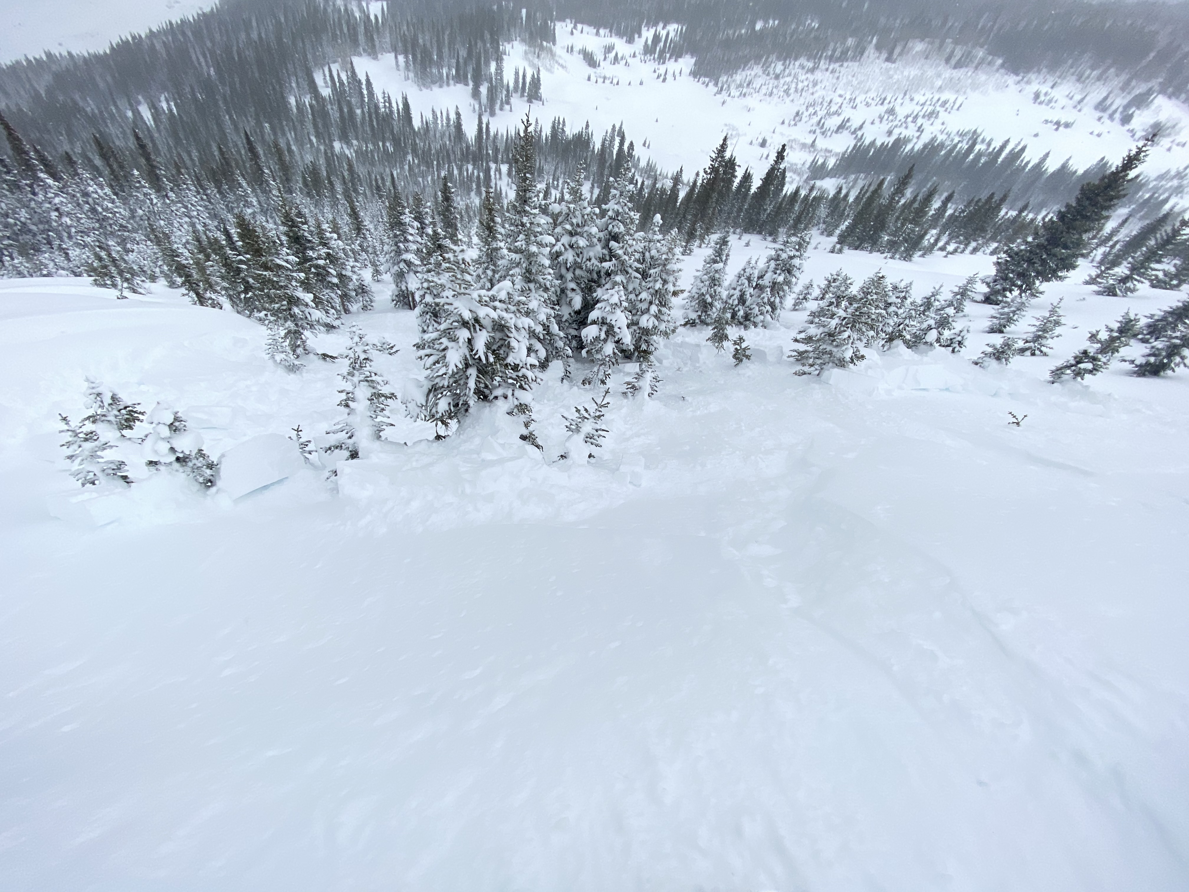
E face off SE ridge of purple. Recent storm snow, R2D2. Debris ran to bench/lake ~1600 vert. This has been a repeater path this season and appears to have run around 1/23
Debris toes off cinnamon. S faces. Ran to the trail. Again appear to be from most recent cycle.
Two more debris toes from WSC bowl. N aspect. These appear to have run possibly during last weeks (1/17) wind event.

Weather: Low clouds in the western part of the fx area persisted throughout the day. The eastern fx area had much clearer skies. Light orographic snowfall S-1 was intermittent throughout the day on Baldy’s southern ridge. Clouds increased in the area and obscured skies around 2p but had cleared by the time I returned to the trailhead @ ~330p. Winds were calm to light with no transport observed. Temps remained comfortable at 12k and warmed near valley bottoms.

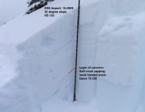
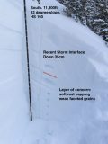
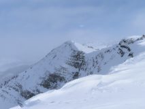
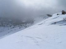
Snowpack: The idea of today was to find spots to dig on S and W slopes near paradise divide. What I discovered is that there is as vast variety of mixed, shallow garbage laced with easily collapsible crust/facet combos at all elevation bands traveled through this area. SPX depths varied vastly, SW/S/SE areas along upper elevation ridgelines held an inconsistent menu of faceted junk, to facets capped by a crust, to facets capped with a crust with storm snow atop, to larger slabs resting on faceted junk. The further SE tilt held the larger slabs. Deepest spx on these aspects approached 120cm on slightly leeward terrain, to exposed bushes and rock on windward sides. The western side of the S bowl on baldy appeared heavily crossloaded while the eastern portion had bushes/rocks protruding. Large midwinter like cornices have begun to build along easterly facing terrain at upper elevations. Got one whumph and associated crack at 11.5k on a 27 degree SW aspect w/ HS of 55c. 25c storm snow and 30c of facets. Crack failed at storm snow interface. Snow surfaces below 11.5k facing SE and S moistened during the day with intense solar influence. By the time the sun tilted SW, clouds began to filter. Overall impression is that these solar influenced aspects with enough snow to ski have a huge variety in depth and layering that makes any penetrable slab structure very suspect. The skiing was also terrible and I got my sled really, reaally stuck.

Photos:

Irwin Cat Obs

CB Avalanche Center2019-20 Observations

Location: Kebler Pass Area
Date of Observation: 01/24/2020
Subject: Irwin Cat Obs
Aspect: East, South East, South, South West, West
Elevation: 10-12,000ft
Avalanches:
SS-ASc-R1/D1 Pre-Evac (east facing)
Snowpack notably more resistant to AS today.
Lone Wolf SS-AE-R2-D2-O FC (50cm x 25m x 250m) Small wind slab step down to persistent slab

Weather: FEW>OVC Light winds and mild temps

Snowpack: Crust formation on solar aspects


Photos:

Evans/Elk

CB Avalanche Center2019-20 Observations

Location: Kebler Pass Area
Date of Observation: 01/24/2020
Name: Elias G
Subject: Evans/Elk
]Aspect: East, South East, South, South West
Elevation: 9400 – 12000

Avalanches: Numerous loose dry/point releases from rock bands on E/SE aspects; majority seemed to be from yesterday and a few from today. Could make out old, large wind slab avalanche up high in Evans but most of it filled back in. No new larger slides in Evans.
Upon gaining the ridge, saw a large slide on SE face of Ruby (SS-N-D3-I but very far away so hard to tell) and a large slide on E face Ruby/Owen ridge (SS-N-D3-I). Both start zones ATL.
Around 1330 as we were snacking and transitioning, a point release from a rock band triggered a small slab avalanche on a NTL, SE/S slope (SS-N-D1/2-S, we were a good distance away).

Weather: CLR all morning with FEW to SCT cloud cover by afternoon. Temperatures were in single digits at TH but felt comfortable. Increased to upper teens/low 20’s rest of the day. While skinning, felt really warm/hot but when regrouping/snacking it was primo. Calm winds most of day until we reached our highest point on the ridge, then just light winds.
Just a great day to be wandering around in the hills.

Snowpack: ~25-30cm HST since Tuesday 21st. Ski pen ~20-25cm most of the day. SW aspect more affected on open terrain and NTL but once a bit lower and sheltered, stellar.
We regrouped in a more open, almost flat area in Evans and when the four of us got together really close we noticed a collapse in the pack. After that we all started to notice more collapsing on our skin up and soon after they were not observed anymore.
Snow on S facing slopes BTL to NTL was getting heavy and moist.
Got on 35* E aspect test slope and had no action then moved on to 38-40* and saw some cracking and small amount of snow to move underneath my ski; seemed to be within the storm snow.

Photos:

Recent Avalanche Activity

CB Avalanche Center2019-20 Observations

Location: Crested Butte Area
Date of Observation: 01/24/2020
Name:

Subject: Recent Avalanche Activity

Aspect: North, North East, East, South East, South

Elevation: 9000-13000

Avalanches:

Photos of recent activity from windshield and ski area courtesy of Zach Kinler


Weather:

Snowpack:

Photos:

Kebler Pass Check

CB Avalanche Center2019-20 Observations

Location: Kebler Pass Area
Date of Observation: 01/23/2020
Name: Evan Ross
Subject: Kebler Pass Check
Aspect: North East, East, South, South West
Elevation: 9,100-12,200

Avalanches: Manny loose snow avalanches coming out of steep terrain. One large debris pile on the upper bench of East Bowl near Ohio Pass. Otherwise struck out on fresh avalanche observations while the poor visibility wasn’t helping.

Weather: Mostly cloudy to obscured with several inches of new snow accumulating throughout the day. The Kebler wind funnel was doing its thing down by the road, but I was surprised by the light winds at higher elevations. The northwesterly winds then increased as I started moving out of the upper end of NTL elevation into more ATL. Plenty of snow moving at upper elevations and on cross-loaded terrain closer to Kebler Pass.

Snowpack: I found less wind-affected terrain than I had expected. Upper elevations and the wind funnel down Kebler Pass RD were the main exceptions. Where there wasn’t wind effect, there were a number of loose snow avalanches. If you pushed into steep terrain I would expect soft storm slabs could have been triggered, and with the impressive new snow amounts I was concerned about deeper persistent weak layers. Most of my digging ended up on southerly facing terrain. In a profile on a BTL SE facing slope, SH was just under 35cm’s of recent snow and more concerning was the mid-pack persistent slab where a soft crust was capping weak faceted snow. Moving to an above treeline southerly facing slope that didn’t have wind-loading, the HS jumped up dramatically, but the end result was the same mid-pack persistent slab set up.

I was hunting for obvious signs of instability. In the end, I didn’t find much while traveling through tons of terrain. The main issue was probably that I didn’t touch wind-loaded terrain or steep slopes over 35 degrees as they seemed to have obvious and potentially dangerous avalanche problems.

Irwin Cat Obs

CB Avalanche Center2019-20 Observations

Location: Kebler Pass Area
Date of Observation: 01/23/2020
Name: Irwin Snow Safety Teams
Subject: Irwin Cat Obs
Aspect: East, South East, South, South West, West
Elevation: 10-12,000ft

Avalanches:

Widespread cracking and avalanching of the overnight snow, notable results in 2 Chutes, Outer Limits, Assassin Pockets, and 207. Persistent slab avalanche R2/D1 100cm x 15m x 50m (HS:135) Round Two under OL; either natural this morning or remote triggered by group in Widow Maker. This feature received explosive testing last week. CT23(RES)@35cm on the crown face. Impressive crown face, slab depth tapered rapidly on flanks limiting D potential. Several PS naturals in Peeler Basin.


Weather: OVC>BKN, 10-20 deg, NW 5-15 g20-30 at Ridge (notably lower BTL) Snowfall continued through midday, skies began to break ~1400. 4" new during day, 25" storm total with 1.8" SWE (!!)

Snowpack: Excellent snow surface quality even on solar aspects. 01/22 HN seems well bonded to the underlying layer, but 1/23 HN interface produced easy storm slab fractures on West in terrain that was not disturbed yesterday. Persistent slab problem is activating.

observed natural avalanches

CB Avalanche Center2019-20 Observations

Location: Crested Butte Area
Date of Observation: 01/23/2020
Name: sam
Subject: observed natural avalanches
Aspect: North, North East
Elevation:

Avalanches:

Saw several natural avalanches on steep wind-loaded rolls above the bench between Pittsburg Rollers and Cabin Slide. Crowns looked to be a bit over a foot deep, likely ran yesterday into last night as many were already smoothed by wind and snow. Also saw several loose dry point releases off of cliff bands and two large slides off of the open shots on skooks that ran all they way to the valley bottom (similar to the slide observed in the open on skooks last Tuesday). Phone died so no photos.

Weather: Lightly snowing and balmy. Light south-west wind.

Snowpack: Deeper than expected. Maybe 5 to seven overnight of surprisingly blower pow given how warm it has been. Ski pen was over a foot deep.

Kebler Pass

CB Avalanche Center2019-20 Observations

Location: Kebler Pass Area
Date of Observation: 01/23/2020
Subject: Kebler Pass
Aspect: North
Elevation: 10,200

Avalanches:

Skier triggered wind slab on convex roll. Crown was ~2’ and ran approximately 50 vertical feet.

Snowpack:

Photos:

Storm Slab on Schuylkill

CB Avalanche Center2019-20 Observations

Location: Paradise Divide Area
Date of Observation: 01/23/2020
Subject: Storm Slab on Schuylkill
Aspect: North East
Elevation: 11,000 ft

Avalanches:

About a foot of new snow on top of Schuylkill Ridge. Dropped into what seemed to be more than a foot of new snow on ridge skiers left of Thanksgiving Bowl. Triggered a storm slab on a convex roll at about 11,000 ft. Estimated 15 inch crown, 50 feet wide, running about 700 feet. Not a good day to be on Spookill.

Cement new snow

CB Avalanche Center2019-20 Observations

Location: Cement Creek Area
Date of Observation: 01/23/2020
Name: Cosmo
Subject: Cement new snow
Elevation: 9400

Weather: 1.5” snow over last 48hours