Paradise Divide West-Facing Below Treeline

CB Avalanche Center2019-20 Observations

Location: Paradise Divide Area
Date of Observation: 02/18/2020
Name: Eric Murrow
Subject:
Paradise Divide West-Facing Below Treeline
Aspect:
South, South West, West
Elevation:
9000′ – 11000′

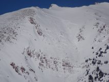
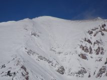
Avalanches: A couple of recent Wind Slabs on alpine terrain
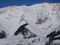
Mineral Point SS-R1-D1-I south – cross-loaded
Purple Ridge SS-R1-D1-I southeast
Mineral Point SS-R1-D1.5 east

Weather: Mostly clear skiers with thin high clouds. Cool temps but very comfortable in the sun. Light westerly winds. Small amounts of transport on a few of the highest and most exposed peaks.

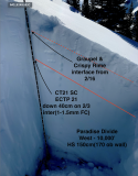
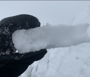
Snowpack: Tour through west-facing slopes below treeline. In more “sheltered” west terrain found HS around 130-150cm. Locations with deeper snowpack on these aspects showed significant rounding and sintering of large grains facets and depth hoar in the bottom of the snowpack – often 1 finger hardness. Shallower parts of terrain from wind scouring felt much weaker via probing. Two layers of concern were found at this site, the first was a graupel/”rimey” crust interface that formed on the afternoon of Sunday 2/16 (very little load above yet but may become on problem with next loading event) and the 2/3 interface now buried by about 40cm of snow. Slab is up to 1 finger hard above the 2/3 interface. Weak layer is 1-1.5mm facets sitting beneath an ultra friable crust(the crust is of little concern as the slab above is plenty strong to propagate).

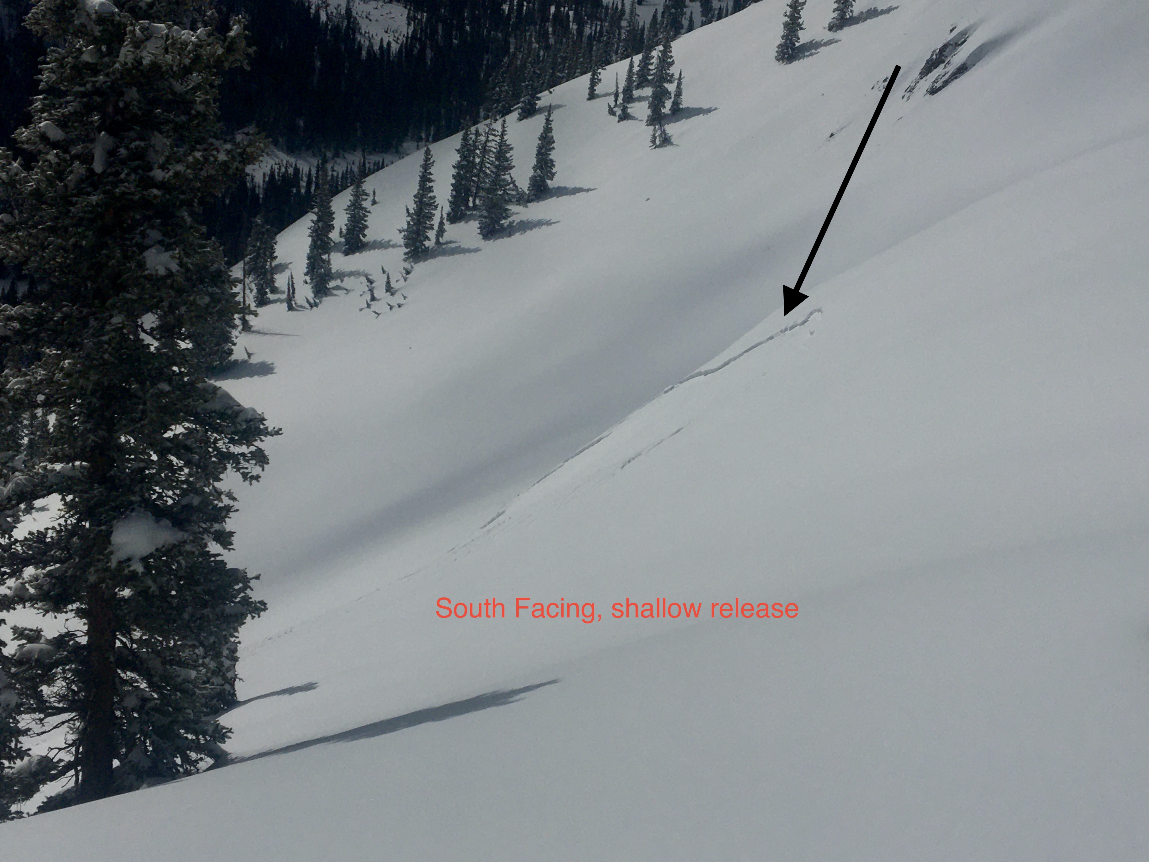
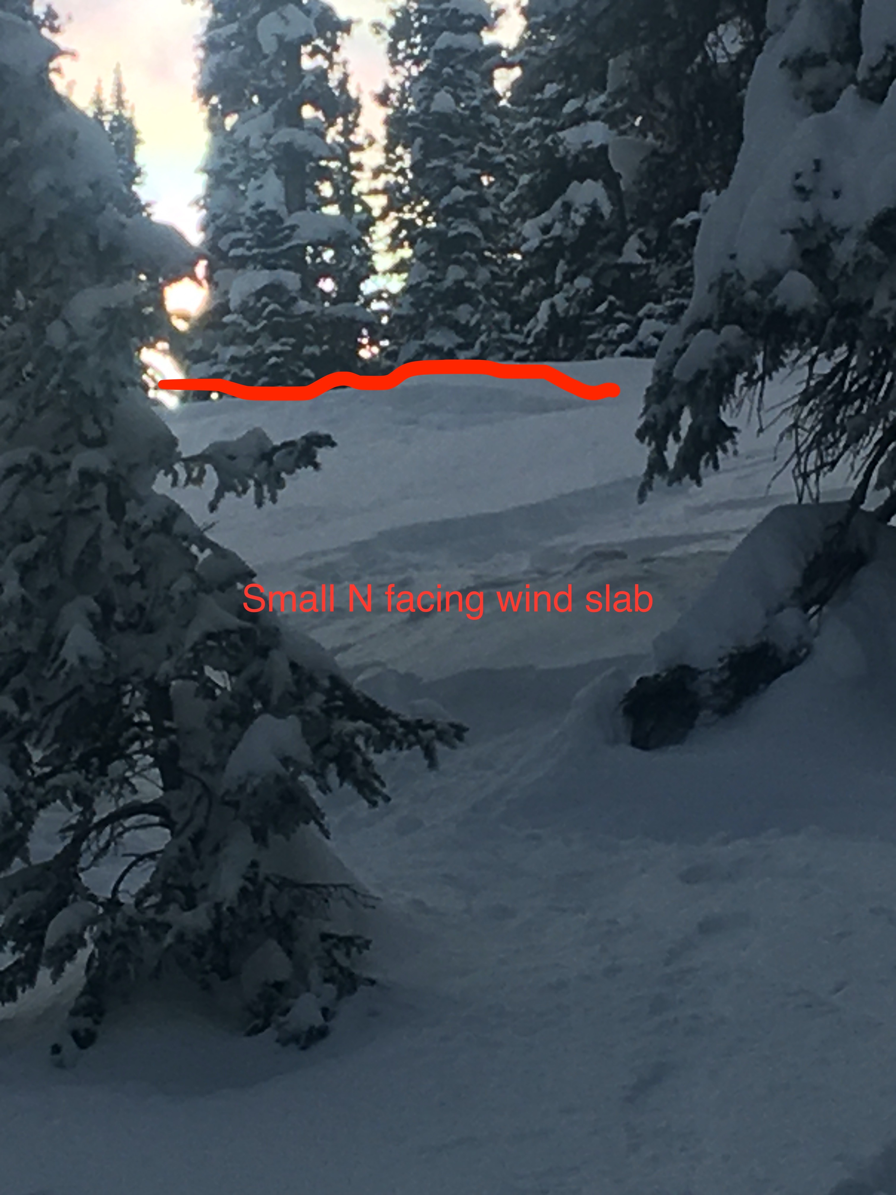
Traveled through a southerly facing cross-loaded feature at 11,000 feet and found drifts over a foot deep from the past few days to be unreactive without any cracking.

Photos:

Ruby Peak

CB Avalanche Center2019-20 Observations

Location: Kebler Pass Area
Date of Observation: 02/18/2020
Name: Ian Havlick
Subject: Ruby Peak
Aspect: South East, South, South West
Elevation: 10-12,800ft

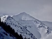
Avalanches: No fresh avalanches within the last 24hrs although there were a few shallow wind slabs that looked to had failed late in Mondays exiting storm.

Weather: Few clouds, strong solar radiation (short-sleeved on most of skin up), light SW winds, no wind transport except visible plumes near Chair Mtn toward Marble around 1500. Radiation was strong, but cold temps.

Snowpack: Upper Snowpack was quickly moistening from solar and will be crusty in the morning on southerlies. DId not dig, but could feel several thin crusts in upper 3ft of snowpack that spooked me a bit. Aborted plans to center punch Ruby when pole probing revealed same fragile melt-freeze crust buried 2-3ft deep under increasing density snow and wind load from last few days.

Remote trigger from above, second bowl Snodgrass

CB Avalanche Center2019-20 Observations

Location: Crested Butte Area
Date of Observation: 02/18/2020
Subject: Remote trigger from above, second bowl Snodgrass
Aspect: North East, East
Elevation: 10800

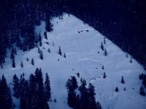
Avalanches: Remote trigger from above of second bowl, as I step out of skin track, 30-35 ft away from crown, heard a whomp, and skin closer to edge to take look.. and saw the avalanche release, fortunately had no intentions on skiing that slope.
Second bowl snodgrass, from top of steep nose.
Aspect ENE (60º), slope estimate 40-45ª, elev. 10800, around 1:30pm, Soft Slab (SS) (35-45cm crown 4F over, F bed surface possible weaker layer on interface), avalanche release (AS), uninetecional (U), size D1.5-D2, bed surface (I), weak layer, facets or surface hoar, slab thickness (decomposed snow and or wind packed particles) 35-45 cm, slab width estimated 150ft, vertical fall estimated 300 ft, length of path run, 550-600ft., avalanche started at rollover on clear slope from trees near the ridge.

Weather: Clear, wind calm.

Snowpack: Just did very fast hardness test, Slab 4F bed surface F, with a weaker interface layer.

Small Slides

CB Avalanche Center2019-20 Observations

Location: Kebler Pass Area
Date of Observation: 02/17/2020
Name: steve
Subject: Small Slides
Aspect: North, South
Elevation: 10,000-11,200

Avalanches:
1x SS-N-R1-D1-I on a South facing convexity at 11,200′. Could have been remotely triggered from the ridge, but I think it was due to a short period of strong solar radiation.

1x SS-ASu-R1-D1-I 1st skier ski cut, 2nd skier released a small pocket on a steep convex roll at 10,800′ in an open pocket in the trees
Weather: Overcast AM becoming Scattered by afternoon. Moderate WNW winds persisted, refilling the skin track through the day. Cold in there shade, warm in the sun.

Snowpack: less new snow than expected, about 6″ average. Obvious signs of wind transport during the storm.

Photos:

[/gravityforms]

Cement Creek

CB Avalanche Center2019-20 Observations

Location: Cement Creek Area
Date of Observation: 02/18/2020
Name: Cosmo
Subject: Cement Creek
Elevation: 9300’
Weather: 3/4” new snow @ 5am

Truck Tour Avalanche Activity

CB Avalanche Center2019-20 Observations

Location: Crested Butte Area
Date of Observation: 02/17/2020
Name: Eric Murrow
Subject: Truck Tour Avalanche Activity

Avalanches: Took a drive around the area to look for fresh natural avalanche activity. Observed several obvious and widely propagating avalanches. Visibility was obscured for parts of the range but there appeared to be a few smaller natural Wind Slabs that I was unable to fully confirm on drifted upper elevation terrain.

Red Ridge 2x HS-R2-D3-O above treeline south aspects but propagating into southwest (one clearly ran earlier than the other)
Peeler Peak HS-R2-D2.5-O northeast aspect near treeline – 3rd-time repeater path this winter
Happy Chutes area SS-R1-D1.5-O/I northeast aspect below treeline – shallow storm slab “stepped down” midpath into old snow

Weather: Partly to mostly cloudy skies around town. Wind transported snow was visible for much of the day on nearby peaks – the loading appeared fairly efficient onto east-facing alpine terrain.

Photos:

Mt. Emmons

CB Avalanche Center2019-20 Observations

Location: Crested Butte Area
Date of Observation: 02/17/2020
Name: ADB
Subject: Mt. Emmons
Aspect: South, South West
Elevation: ATL, BTL, NTL

Avalanches: Evans Basin: HS-N-R.05-D0.5 on a cross loaded east-facing feature at BTL. This HS appears to have occurred during the last wind and not within the past 24 hours. Crown and scarp seemed a bit filled in with new snow.

Weather: Mostly overcast skies with temperature below freezing and holding steady. ATL/NTL: strong winds with cross loading into Red Lady bowl. BTL: light and moderate winds with no snow transport.

Snowpack: About 4 inches of new snow and wind didn’t fill in skin track BTL. Again, thanks dawn patrol. BTL in Red Glades in spruce and aspen, skied new snow on top of melt freeze crust, which was felt throughout the entire area.
No instabilities observed on skin track BTL and wind scoured ATL.

Gothic weather

CB Avalanche Center2019-20 Observations

Location: Paradise Divide Area
Date of Observation: 02/17/2020
Name: Billy
Subject: Gothic weather

Weather: Not really a lot to report except last nights 2″ of new snow (0.21″ water) was pretty much all graupel so that is a layer of snow that should show up in future snow pits. The 24 hour total is 4½” snow and 0.38″ water as Sunday snow was light density. Cloudy and windy all night (and when you get down to it, I think all my life) but warm with the high Sunday 28F and low today 23F. Snowpack is at the winters deepest of 40″ (15″ below average for this date). Currently cloudy, variable wind and snowing lightly. billy

Cement Creek

CB Avalanche Center2019-20 Observations

Location: Cement Creek Area
Date of Observation: 02/17/2020
Name: Cosmo
Subject: Cement Creek
Aspect: South, South West, West, North West
Elevation: 9300-10600

Weather: Storm total from the last 48hrs as of 630am @ 9300′-about 4 and a quarter inches. Snowfall on 2/16 was intermittent with more intense periods after 4pm. Kind of partly cloudy this morning. Not snowing currently.

Snowpack: Toured up to about 10600′ yesterday. No signs of instability. Crust from the middle of last week on southernmost aspects was supportable to skiers, becoming breakable as you wrap around to the west. Due west aspects are slabby and supportable, especially at higher elevations, becoming facety as you wrap further to the north. Most of the aspects we skied were only intermittently supportable below about 9800 or 10000 ft.

Kebler Pass snow check

CB Avalanche Center2019-20 Observations

Location: Kebler Pass Area
Date of Observation: 02/16/2020
Name: Eric Murrow
Subject: Kebler Pass snow check
Aspect: North, North East, East, South East, South
Elevation: 9200 – 11500′

Avalanches: Observed a couple of dry loose avalanches on very steep easterly terrain, very small in size and only involved new snow.

Weather: Overcast skies with light winds at valley bottom. Little to no snowfall from 1230 – 330. New snow accumulations of 5″ at 11,400′ @ 300pm. New snow was largely small graupel and rimed precip particles. A minimal amount of drifting at ridge top near treeline at this location. Had reasonable views of greater Anthracite Range in the afternoon with some wind transport visible above treeline but less than expected. Winds were from the west. Leaving Kebler Pass around 330 snowfall started again and winds began to pick up.

Snowpack: No cracking with the new snow or at old interface. Traveled through southerly start zones between 11,000′ – 11,500′ and found crusts 5 to 7cm thick on south aspects and 2-3cm thick on southeast beneath the new snow.  Due south slopes made for fun dust on crust skiing.

Photos: