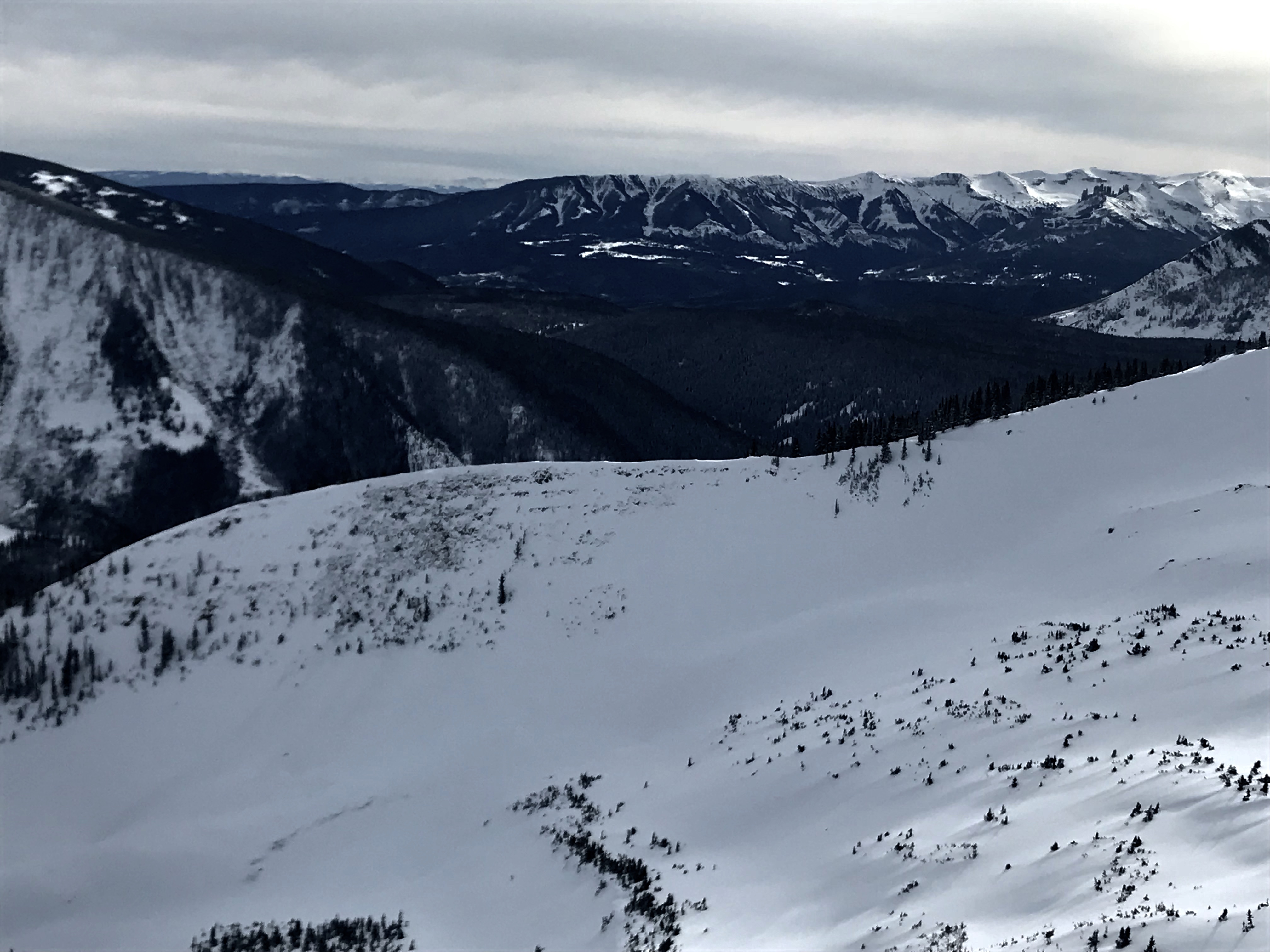
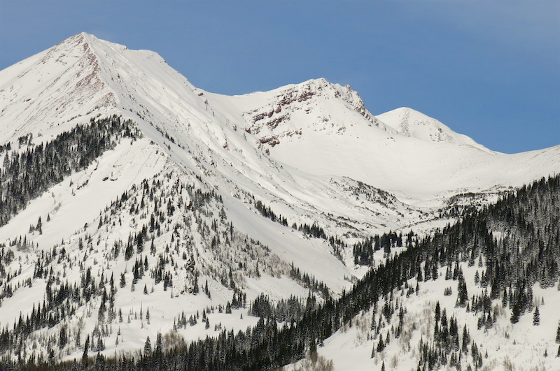
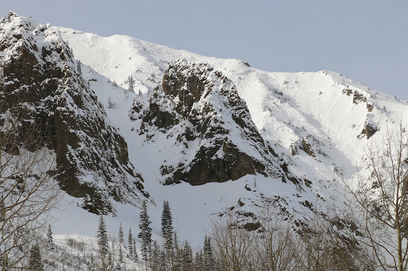
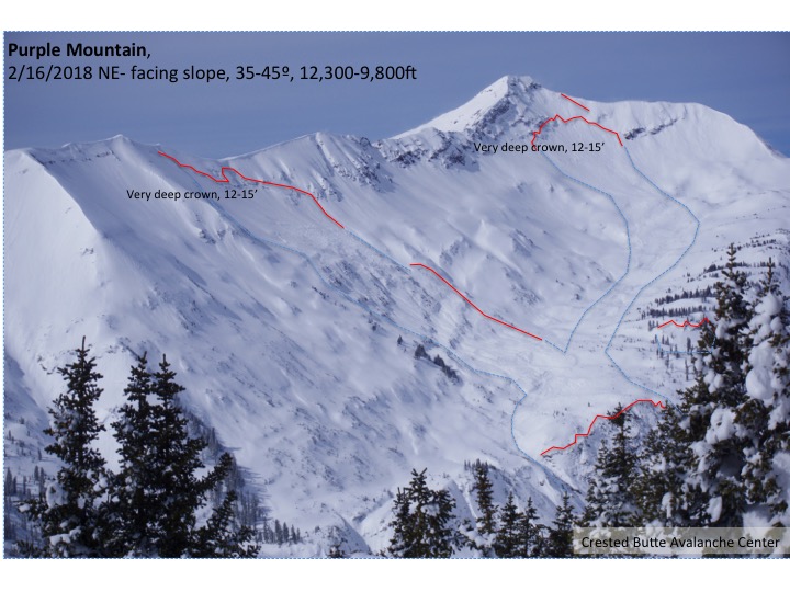
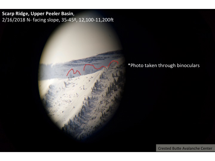
Location: Crested Butte Area
Date of Observation: 02/19/2018
Name: ADB
Subject: Coney’s in the AM
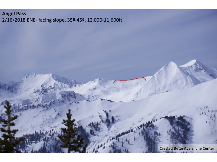
Aspect: North East, East
Elevation: BTL
Avalanches:
NA.
Weather: Sustained moderate winds on the ridge top coming from the west and northwest. Up valley winds on the approach from the trail head to the cabin along above the left bank of the stream. For the most part no snowfall, save for one burst of S1 snowfall with minimal snow accumulation.
Snowpack: Ridgeline: 4 to 6 inch hard slab.
Bowl: 2 to 4 inch soft slabs.
Convex corner has a 1 foot wind lip. One to 2 foot cornices on first and second bowls.
Lower 1/8 of the slope below first bowl and Convex Corner is still a bump run. Upper 7/8 of the slope, winds within past 24 hours have filled in the tracks.