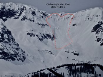
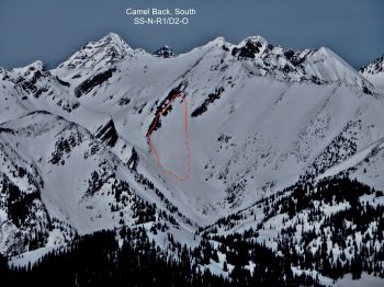
Wolverine Basin

CB Avalanche Center2017-18 Observations

Location: Crested Butte Area
Date of Observation: 03/29/2018
Name: ZDK

Subject: Wolverine Basin
Aspect: North, North East, East, South East
Elevation: 9,000′-11,400′

Avalanches:

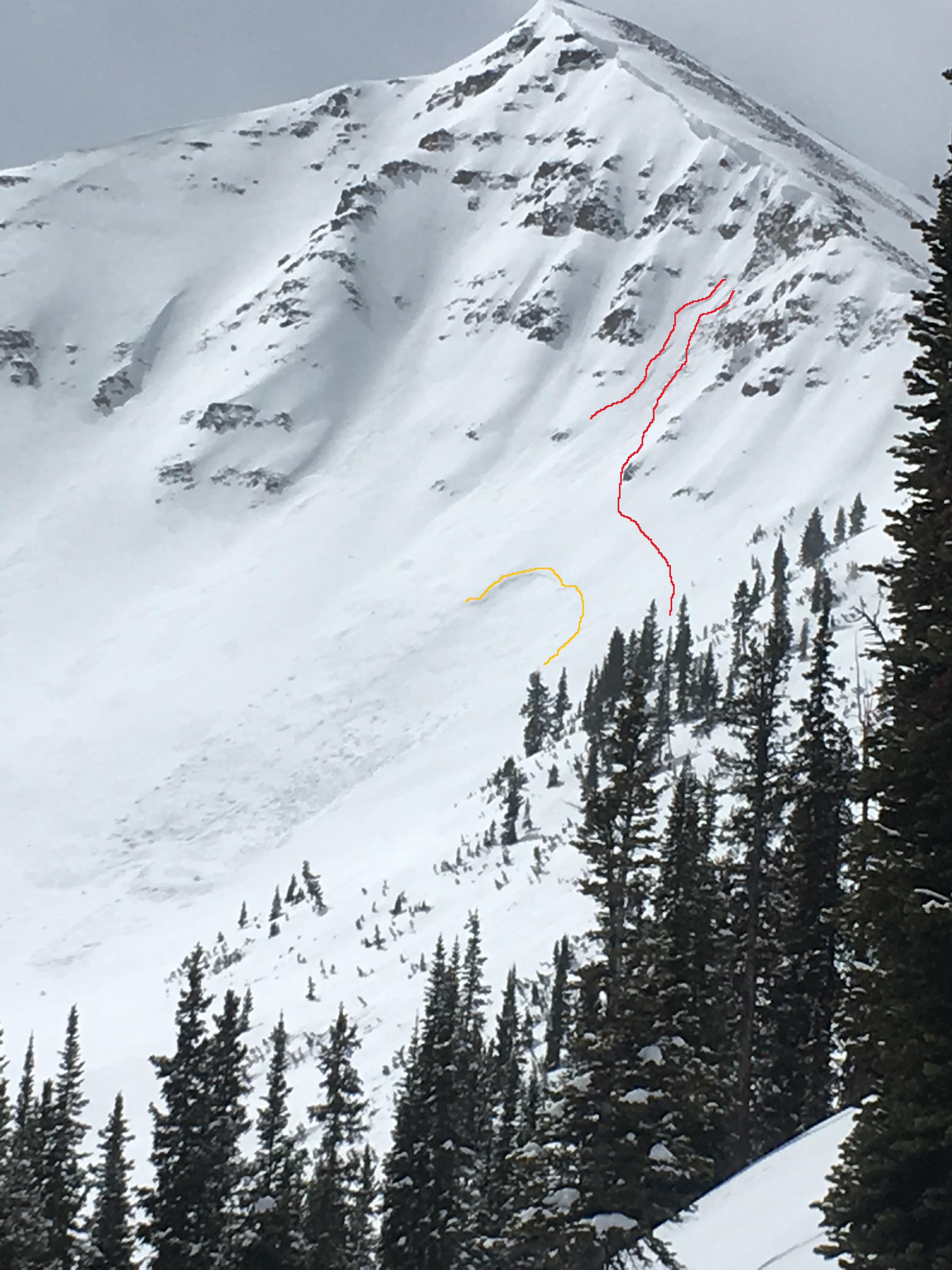
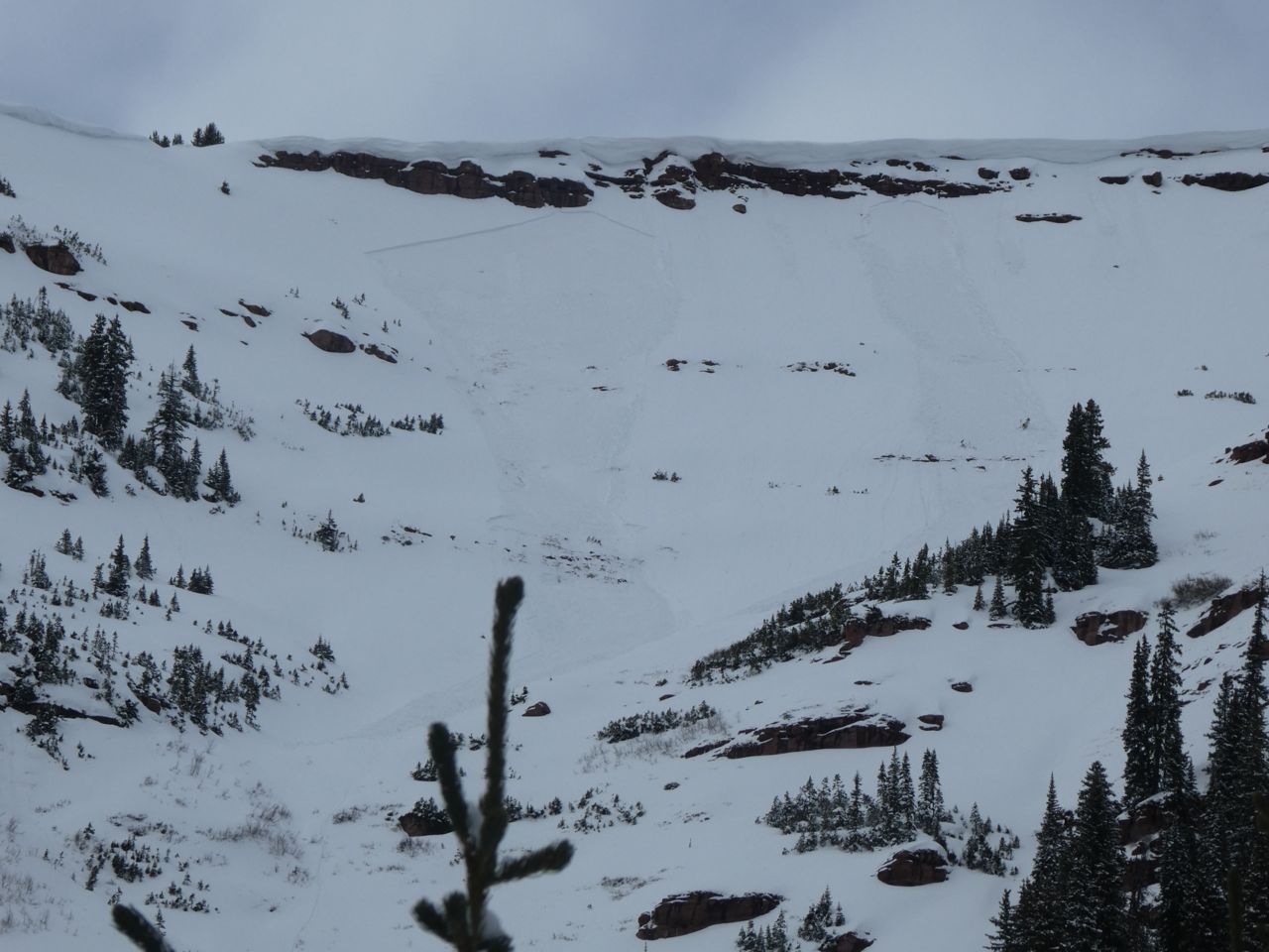
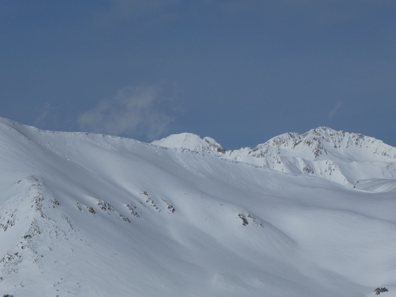
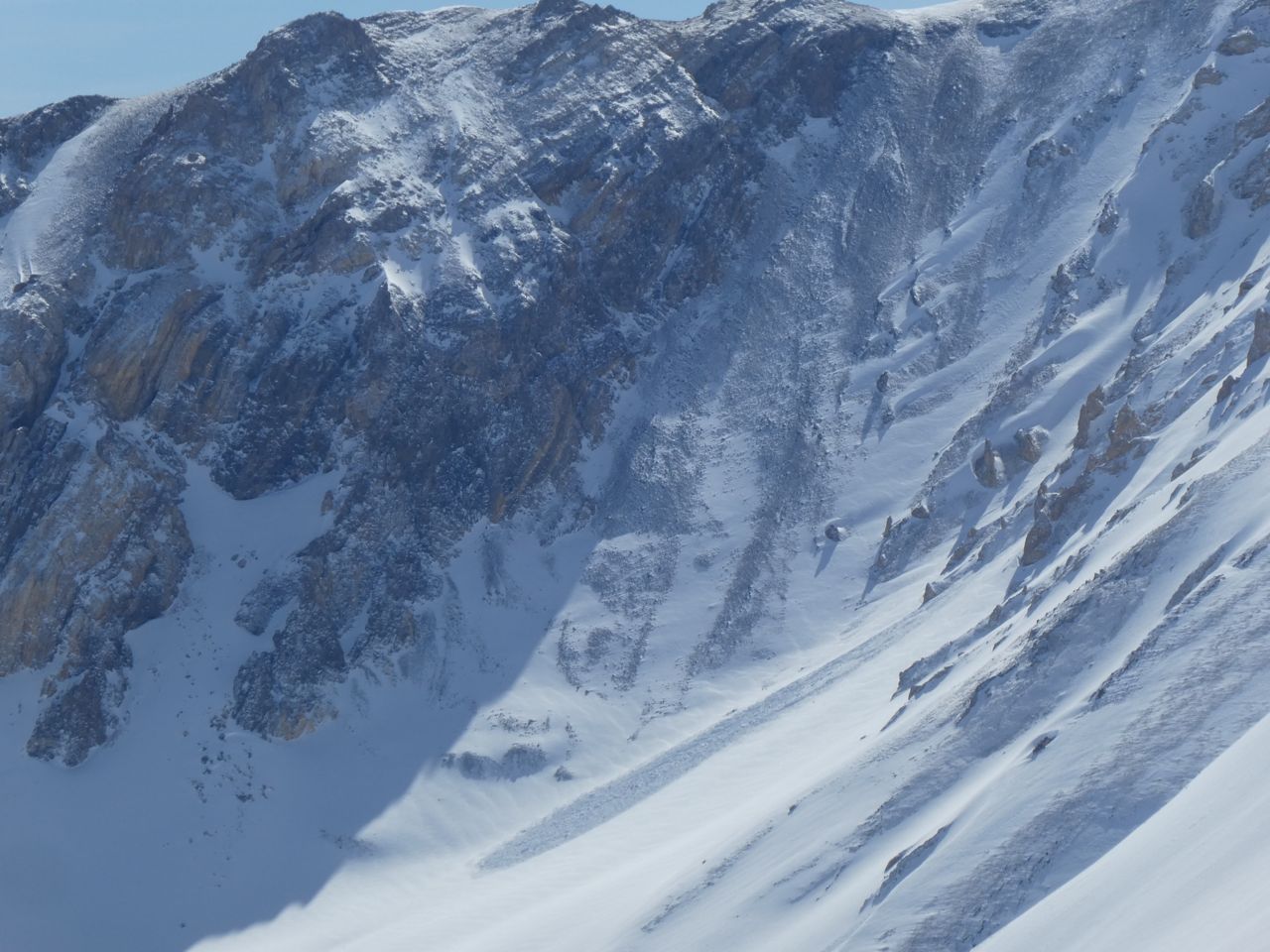
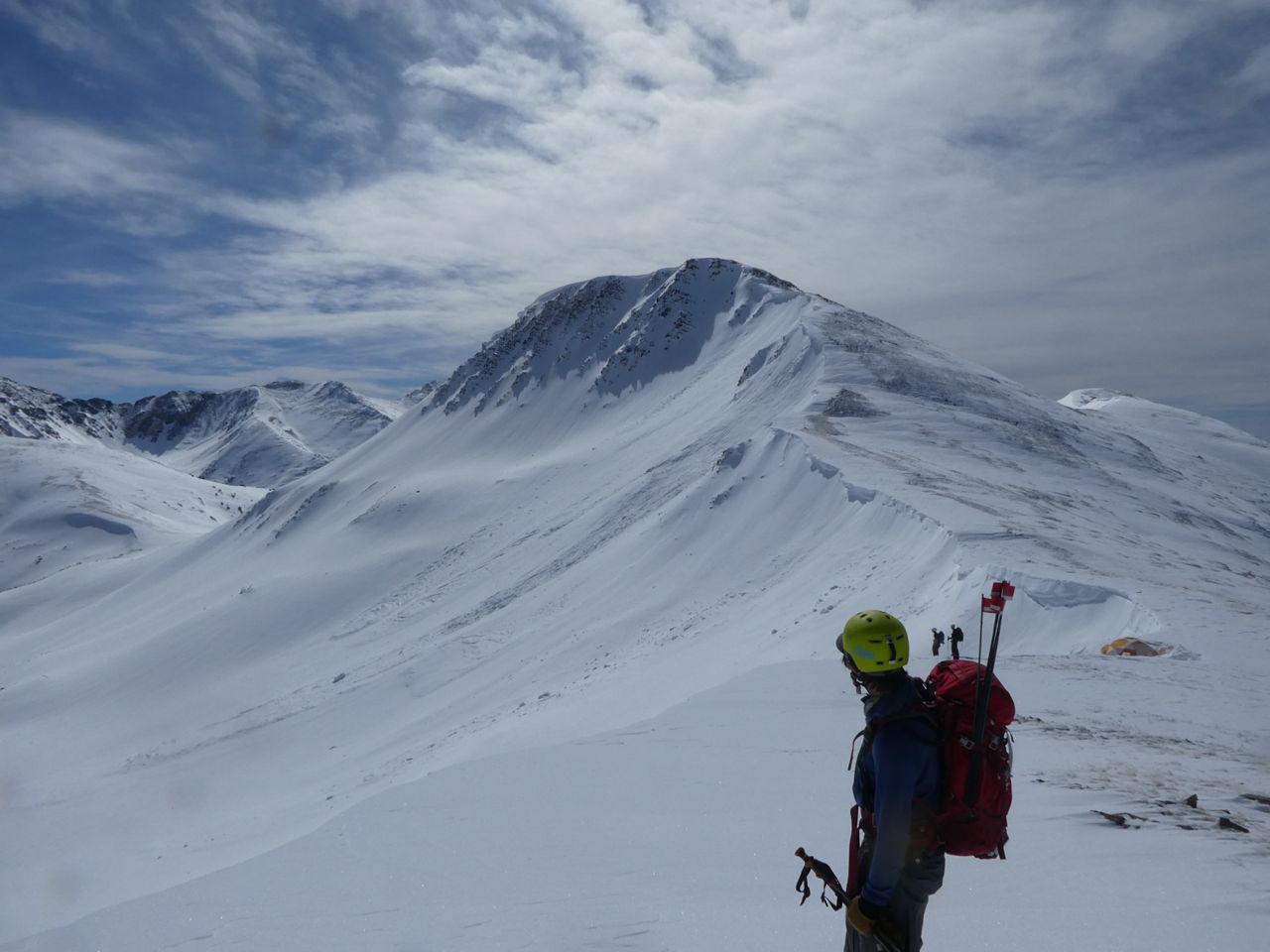
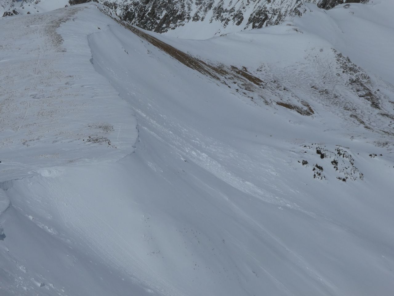
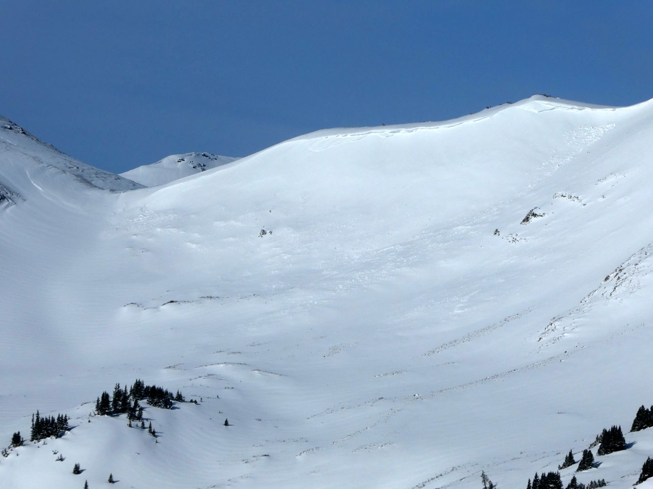
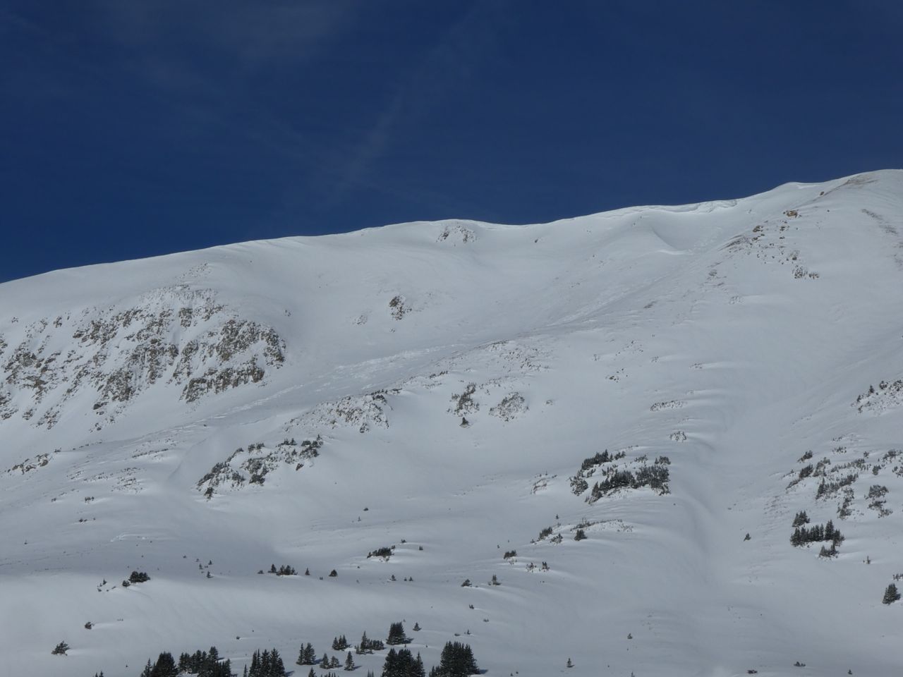
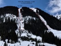
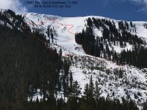
SS-N-R1-D2-I/O East aspect ~11,800′ Shallow wind/storm slab ran off of ridge and stepped down 1-2 feet lower in bowl(See picture)

Weather: SCT-BKN skies, S-1 snow showers off and on. Light-Mod. NW winds creating light transport on lee ridges/peaks. Temps hanging around 0C @ 11,000′
Snowpack: Soft, fairly dry snow on northerlies, variety of crusts on any sunny aspect.
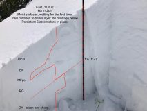
Top of Right Chute, North aspect, 11,300′ HS 185 cm, mid pack was mostly rounded grains 4F-1F. Weak layer at ground was ~ 30cm of slightly moist, rounding DH that is still fragile(See picture).
~1cm Graupel layer 20cm from surface and a 1 cm MFcr @ 30 cm (3/23 interface) may be future weak layers.

Photos:

snow surveys-Slate River Watershed

CB Avalanche Center2017-18 Observations

Location: Crested Butte Area
Date of Observation: 03/30/2018
Name: ADB

Subject: snow surveys-Slate River Watershed
Aspect: South East, South
Elevation: BTL

Weather: CB Snow Course: party cloudy, calm, upper 40’s between 9 and 11 AM
Keystone Snow Course: partly cloudy, light winds, upper 40’s around 12 PM.
Snowpack: Crested Butte Snow Course by Mike’s Mile: trace of new snow/24 hours-graupel
depth at 12 sample points ranged between 0 inches to 31 inches
SWE (snow water equivalent) = 6 inches of water in the snowpack by the Slate River
Keystone Snow Course: 0 inches of new snow/24 hours
depth at 5 sample points ranged between 22 and 31 inches
SWE (Snow water equivalenet) = 8 inches of water in the snowpack at the bottom of Red Lady Glades.
Winter snow in shade.

Gothic Mtn, south facing, resembles round cutlery

CB Avalanche Center2017-18 Observations

Location: Crested Butte Area
Date of Observation: 03/30/2018
Name: Cam and Tyler

Subject: Gothic Mtn
Aspect: South, South West
Elevation: 9,500-12,500

Avalanches:

Had some notable wet sluffing near the top around 1p.m. Triggered by first skier in the center of the bowl after a few turns. Ran about 10 ft wide for 600 vertical feet. Maybe 1-3 inches deep.

Weather: Winds were calm down low and increased to 30ish mph up high.
Snowpack: On West faces the snow surface was locked up between 10,000 and 11,000 ft before 11 a.m. As we got higher and later we could break through the crusts while bootpacking. Zero cracking, collapsing, or signs of instability. Not even rollerballs until we dropped in the S face in the afternoon.

Photos:
Post GT Slides

CB Avalanche Center2017-18 Observations

Location: Brush Creek Area
Date of Observation: 03/24/2018
Name: North Face Grand Traverse Snow Safety Team

Subject: Post GT Slides
Aspect: North, East, South East
Elevation: Alpine/BTL

Avalanches:

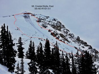
Numerous D1 and a few D2 Natural Avalanches observed on N, E, SE aspects Alpine/ BTL (Most appeared to be triggered by Cornice Failure.)

Weather: SCT. / Winds Light W
Snowpack: 13″ new on the 23rd w/ 1.7″ SWE. Widespread 5mm Surface faceting observed on the morning of the 24th skinning up to the pass. 51 ” of snow was loaded on Lee side of Start Pass

Photos:
Coney’s

CB Avalanche Center2017-18 Observations

Location: Crested Butte Area
Date of Observation: 03/29/2018
Name: Whitney Gilliam

Subject: Coney’s
Aspect: North East
Elevation: 9,800 ft

Avalanches:

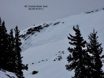
Snowboard triggered wet loose near base of Coney’s at about 1030am.

Weather: Mostly clear skies, consistent ~ 10 – 15 mph wind from NW with gusts up to ~25. Blowing snow observed on Gothic and Mt. Baldy.
Snowpack: Did not observe

Photos:

West Brush Creek

CB Avalanche Center2017-18 Observations

Location: Brush Creek Area
Date of Observation: 03/27/2018
Name: Ben Pritchett

Subject: West Brush Creek
Aspect: North East, East, South East
Elevation: 9,000′ – 12,200′

Avalanches:

Several from 3/23 and 3/24, all failing on faceted weak layers.

Weather: Warm, with intense radiation and convective showers.
Snowpack: Persistent problem lingers above 11,000′. We found clean, sharp facets and reactive tests on East aspects above 11,000′ and Southeast as you near 12,000′. These persistent weak layers are stubborn to trigger, but certainly still possible.

Photos:
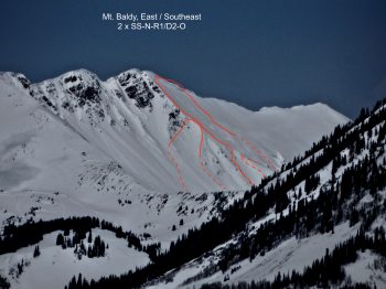
Axtell, NNE, 11,500′ Skier Triggered

CB Avalanche Center2017-18 Observations

Location: Crested Butte Area
Date of Observation: 03/25/2018
Name: Tom Runcie

Subject: Axtell, NNE, 11,500′ Skier Triggered
Aspect: North, North East
Elevation: 11,500′

Avalanches:

Skier triggered slide in a small terrain feature. I skied over a rollover into a small concave chute. Slab broke just above me, about 10″ deep and maybe 30-40′ wide and pushed me through the choke of the chute. Was able to ski out of the slide. Debris didn’t make it even down to a flat spot. It ended up being pretty benign, but it got my blood pumping! 7 other skier runs in the same zone had no evidence of instability.

Weather: Thin high clouds, warm, light winds with occasional gusts.
Snowpack: 195cm depth, dug to about 125cm depth. Got into a very stiff 1F+ mid pack at about 80cm depth that went to 185cm depth based on probing. Low quality fracture within the storm snow at CTE5 and another just below at CTM 15. Very difficult shearing throughout the column.

Photos:

Washington Gulch near treeline observation

CB Avalanche Center2017-18 Observations

Location: Paradise Divide Area
Date of Observation: 03/25/2018
Name: Eric Murrow

Subject: Washington Gulch near treeline observation
Aspect: North East
Elevation: 11600’

Avalanches:

Observed one very small skier triggered wet loose avalanche avalanche on Coneys, approximately 10,400 feet east aspect from either today or yesterday.

Weather: Overcast skies with light winds.
Snowpack: Went to check out northerly near treeline slopes. Poked a hole at “top of the world” and found HS of 130cm on NE slope. Of note was thin weak crust at the base of 3/23 storm snow from warm temps or a small bit of rain. Storm snow bonded well to this crust and the crust was well bonded to the snow below. A layer of facets was present 50cms below surface and produced an ECTP 13. Not sure how widespread this is across forecast area, but warrants consideration. Below facets was pencil hard snow. See photo.

Photos:
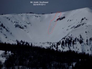
Opa Hut obs Saturday AM

CB Avalanche Center2017-18 Observations

Location: Brush Creek Area
Date of Observation: 03/24/2018
Name: Eric Murrow

Subject: Opa Hut obs Saturday AM
Aspect: North, North East, East, South East
Elevation: Above treeline

Avalanches:

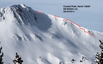
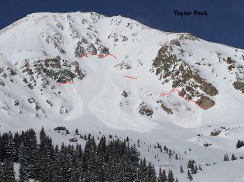
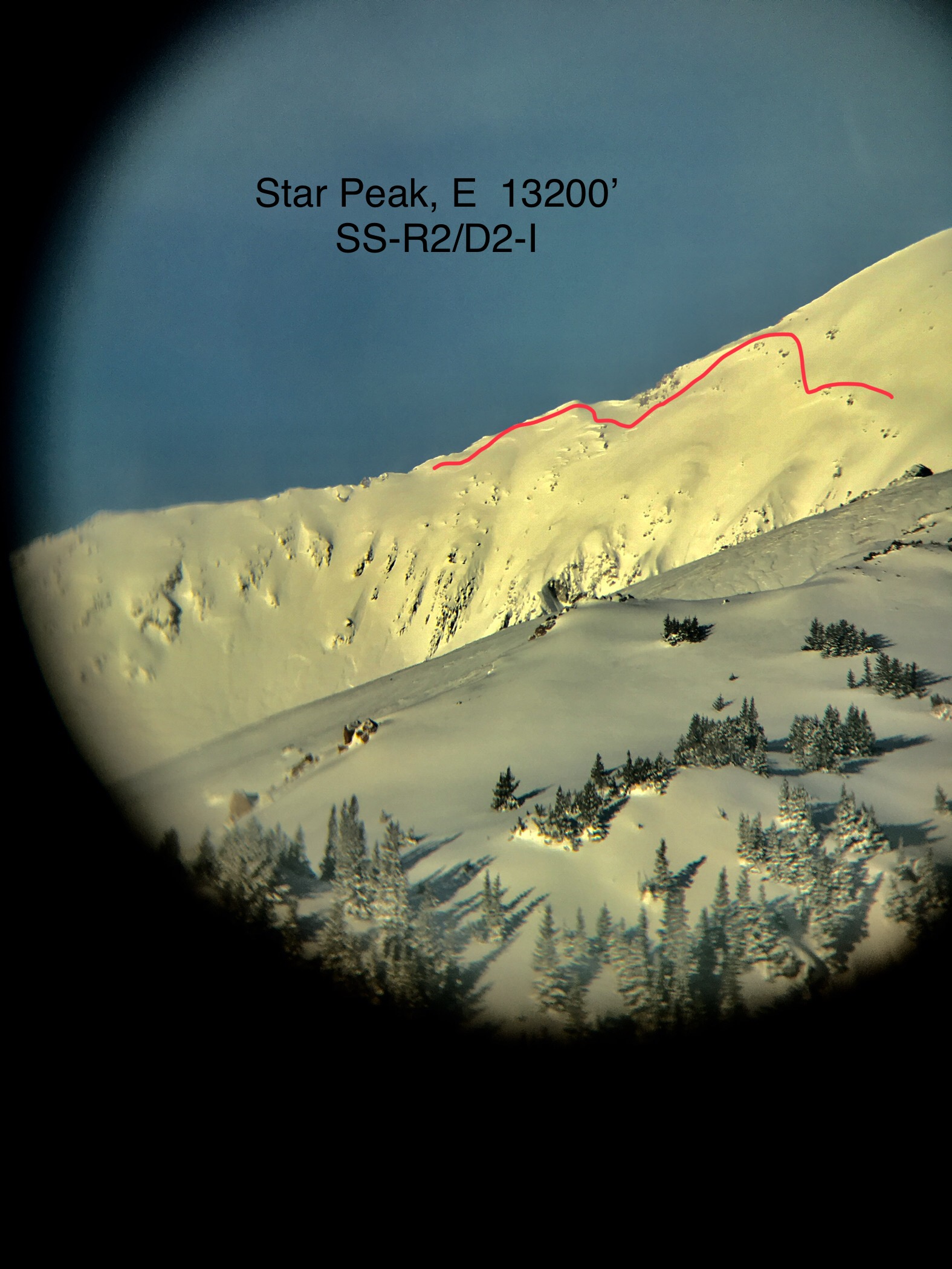
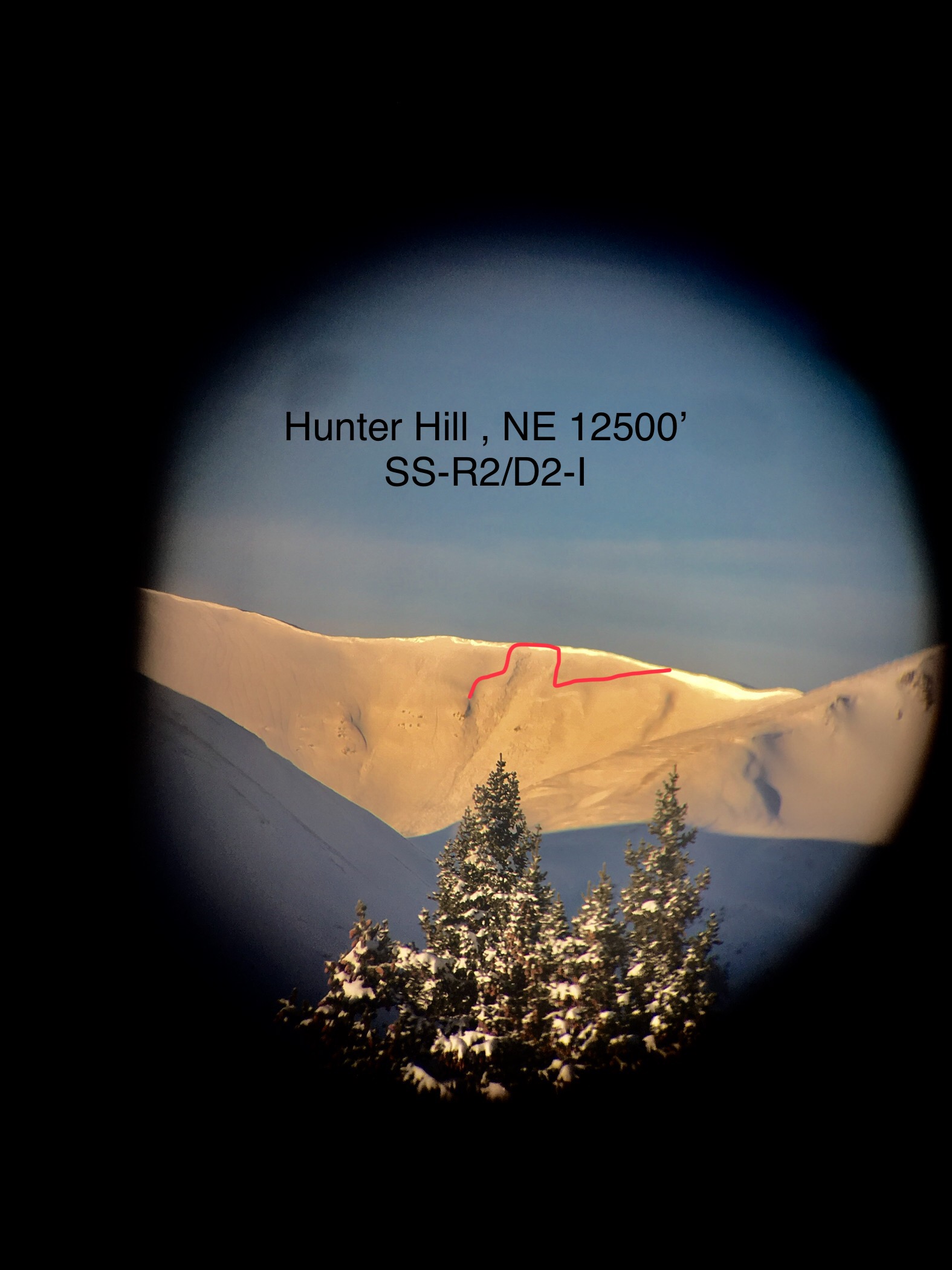
Skier triggered several very small soft slabs on SE aspect near Taylor Pass on Friday afternoon. Saturday morning with clear visibility spotted multiple large avalanches above treeline; Crystal Peak, Star Peak, Taylor Peak, Tilton and Hunter hill. All were north through east aspects

Weather: Snow totals from Friday storm at treeline were 13.5” with 1.6”SWE. Moderate winds with strong gusts Friday. Mostly clear Saturday morning.
Snowpack:

Photos:

Slides above GT race course. PC:Chris Miller

Notice small yet deep slide lower right stepping into old layers. PC: Jason Holton

Exact repeat offender of slide from early March. PC: Jason Holton

Left overs from “The Dude”

CB Avalanche Center2017-18 Observations

Location: Crested Butte Area
Date of Observation: 03/24/2018
Name: Benjamin H Pritchett

Subject: Left overs from “The Dude”
Aspect: East, South East, South
Elevation: All above treeline

Avalanches:

Numerous, see photos. The pattern in this set of photos is that these all failed on shallowly buried crust facet combos on East to South aspects above treeline. See the recent video from Star Pass for details on the weak layer structure.

Weather:
Snowpack:

Photos: