Date of Observation: 05/09/2023
Name: Zach Guy
Zone: Southeast Mountains
Route Description: Red Ridge to Queen Basin to Whiterock Mtn
Observed avalanche activity: Yes
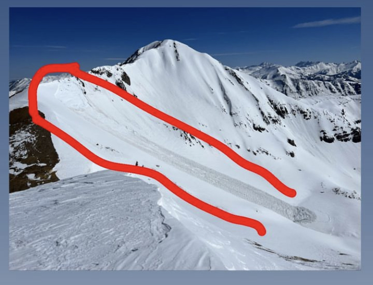
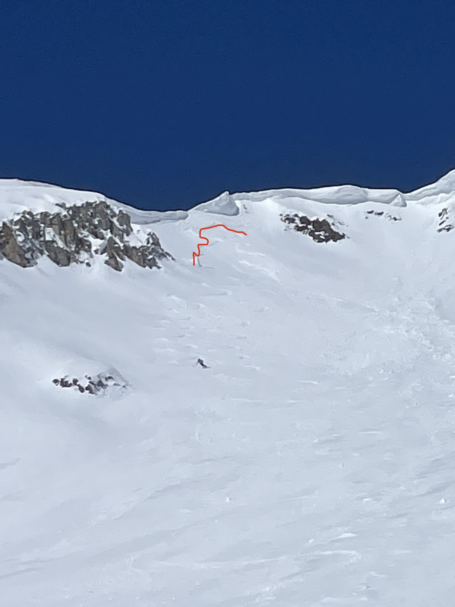
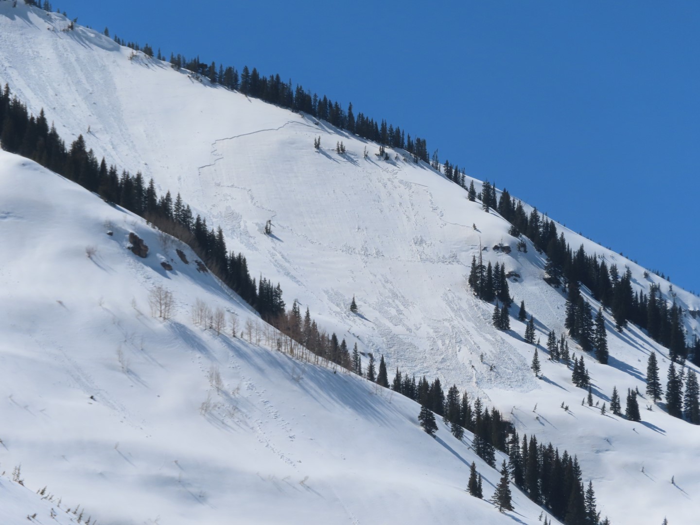
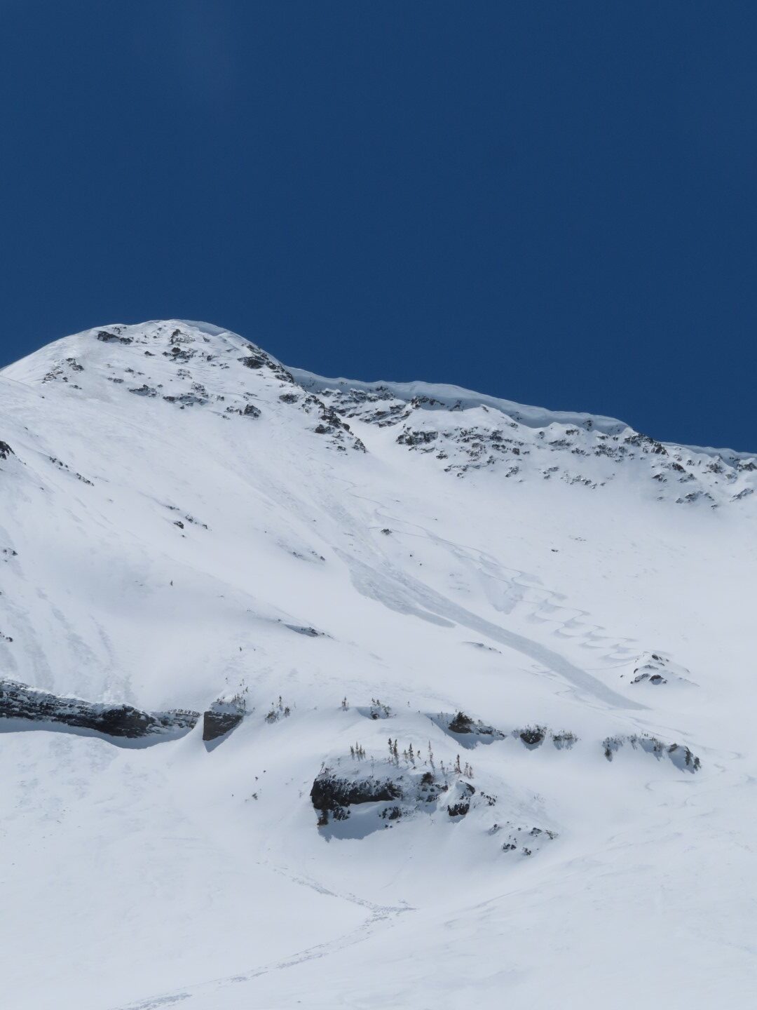
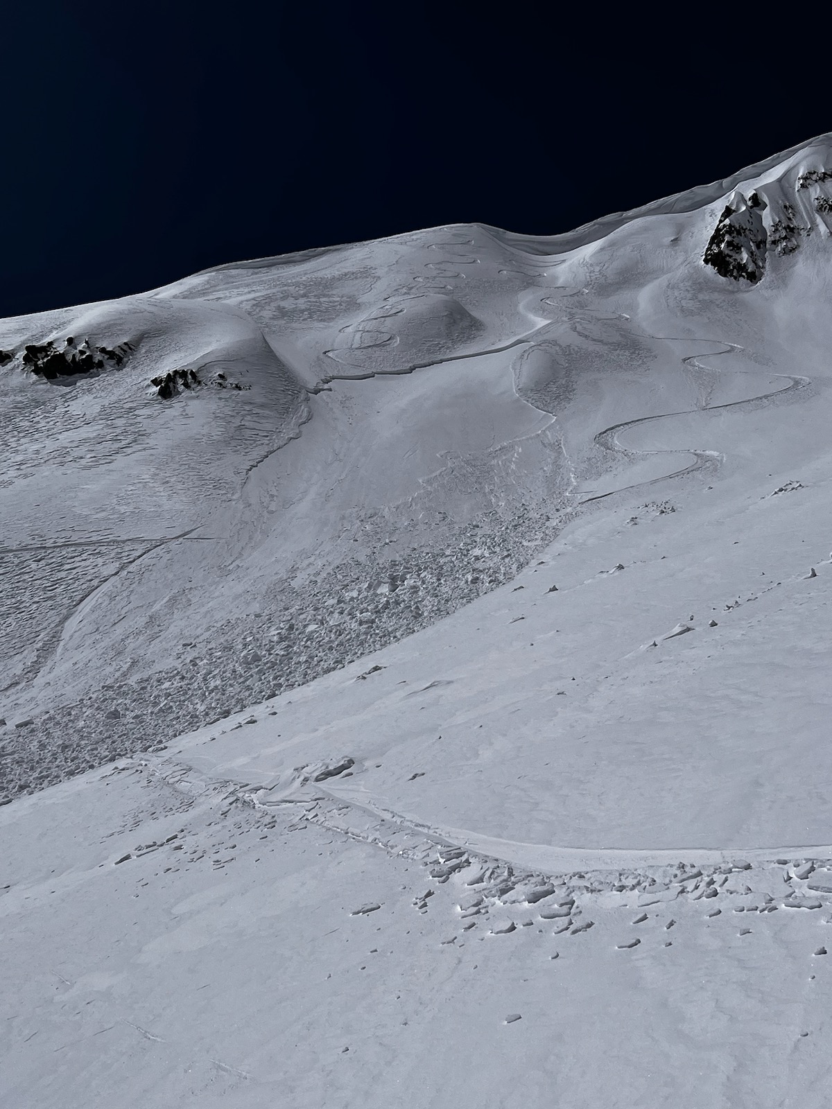
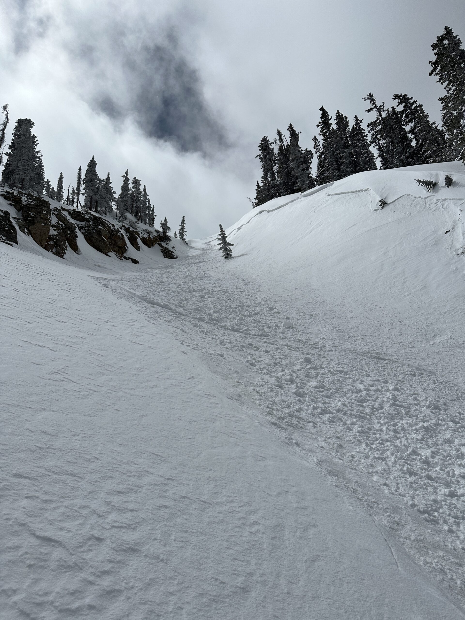
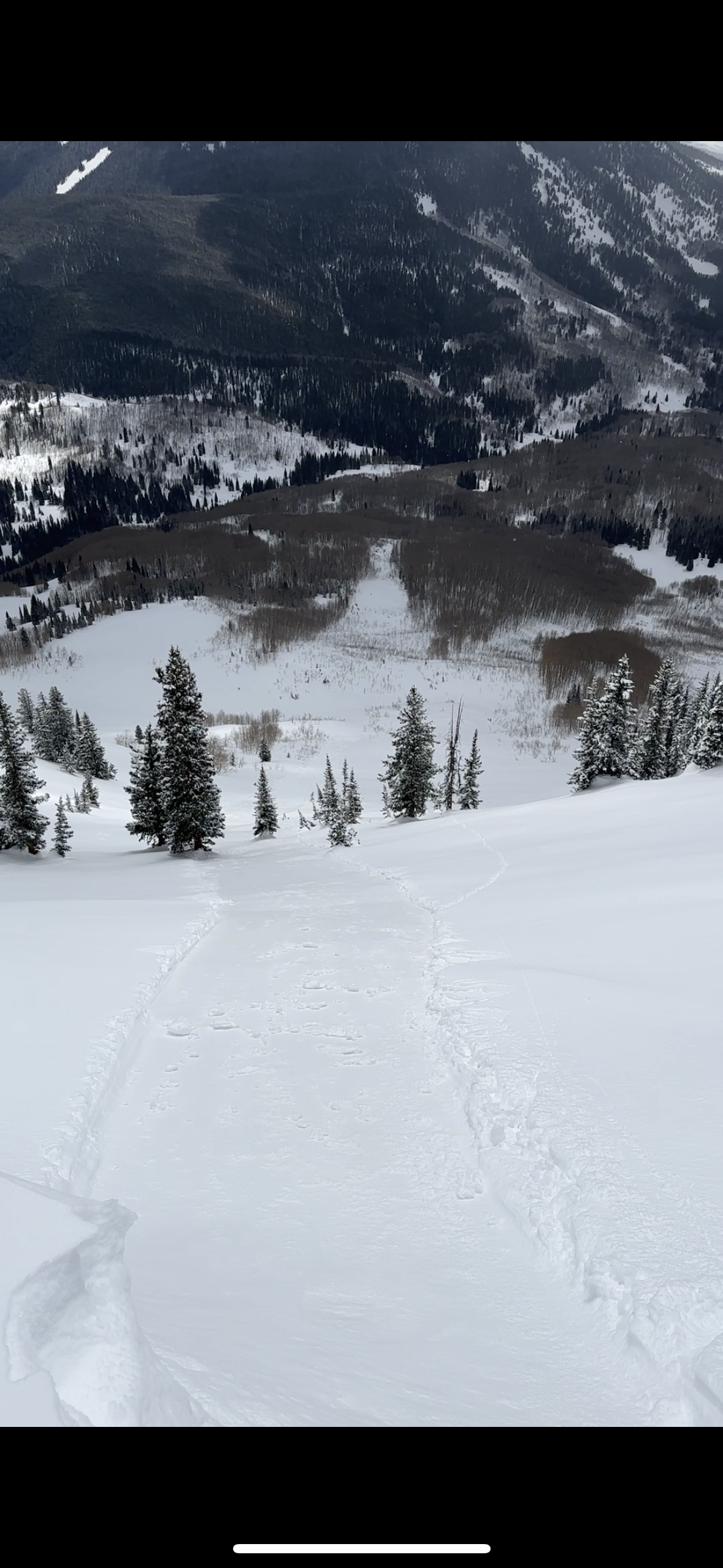
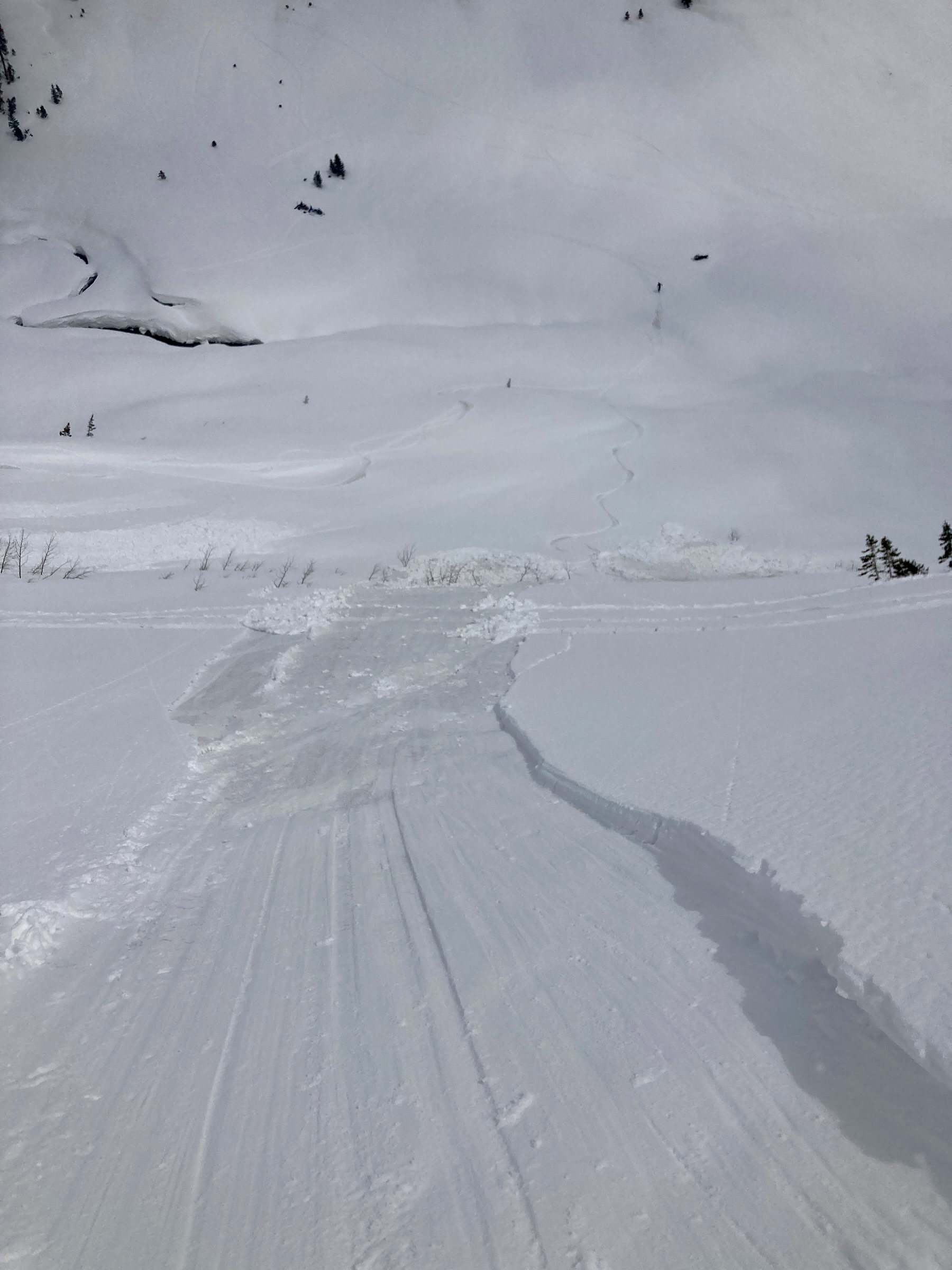
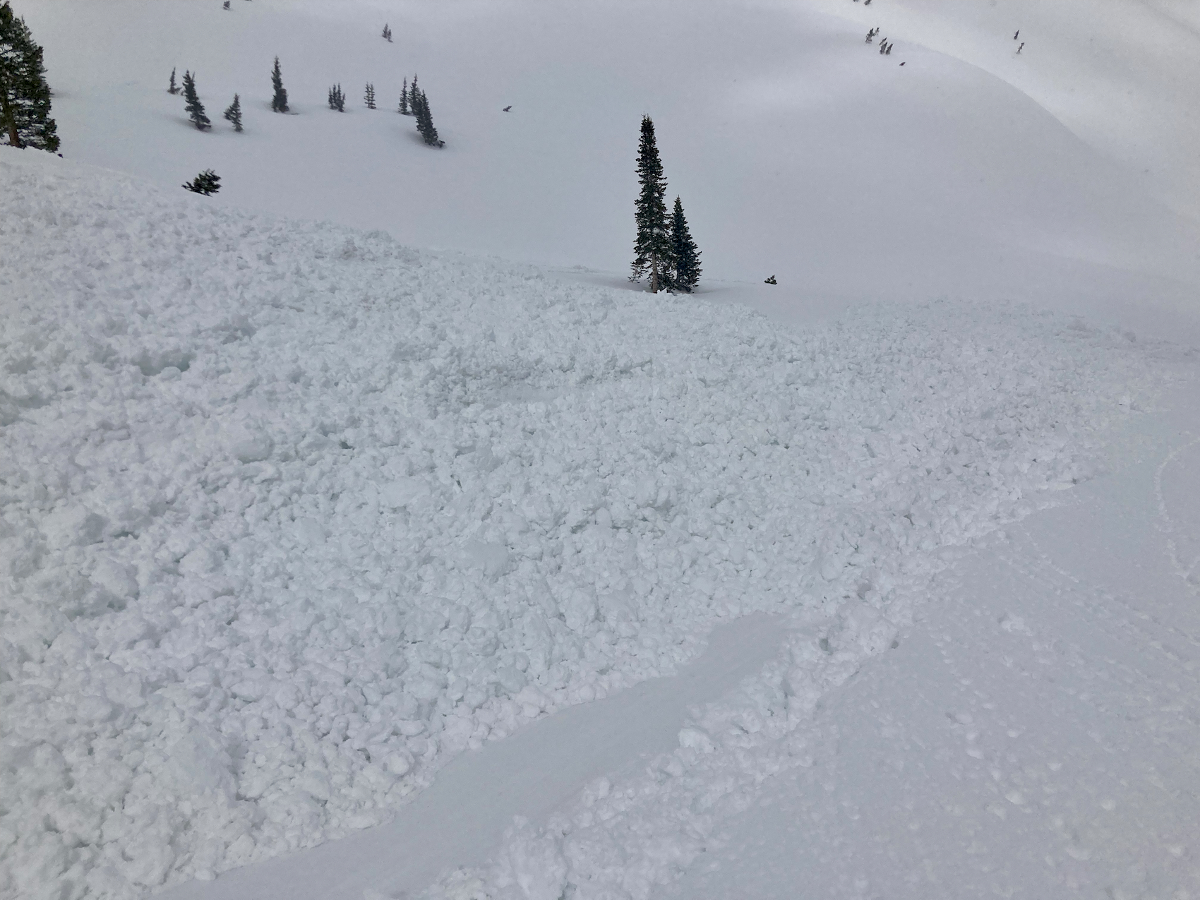
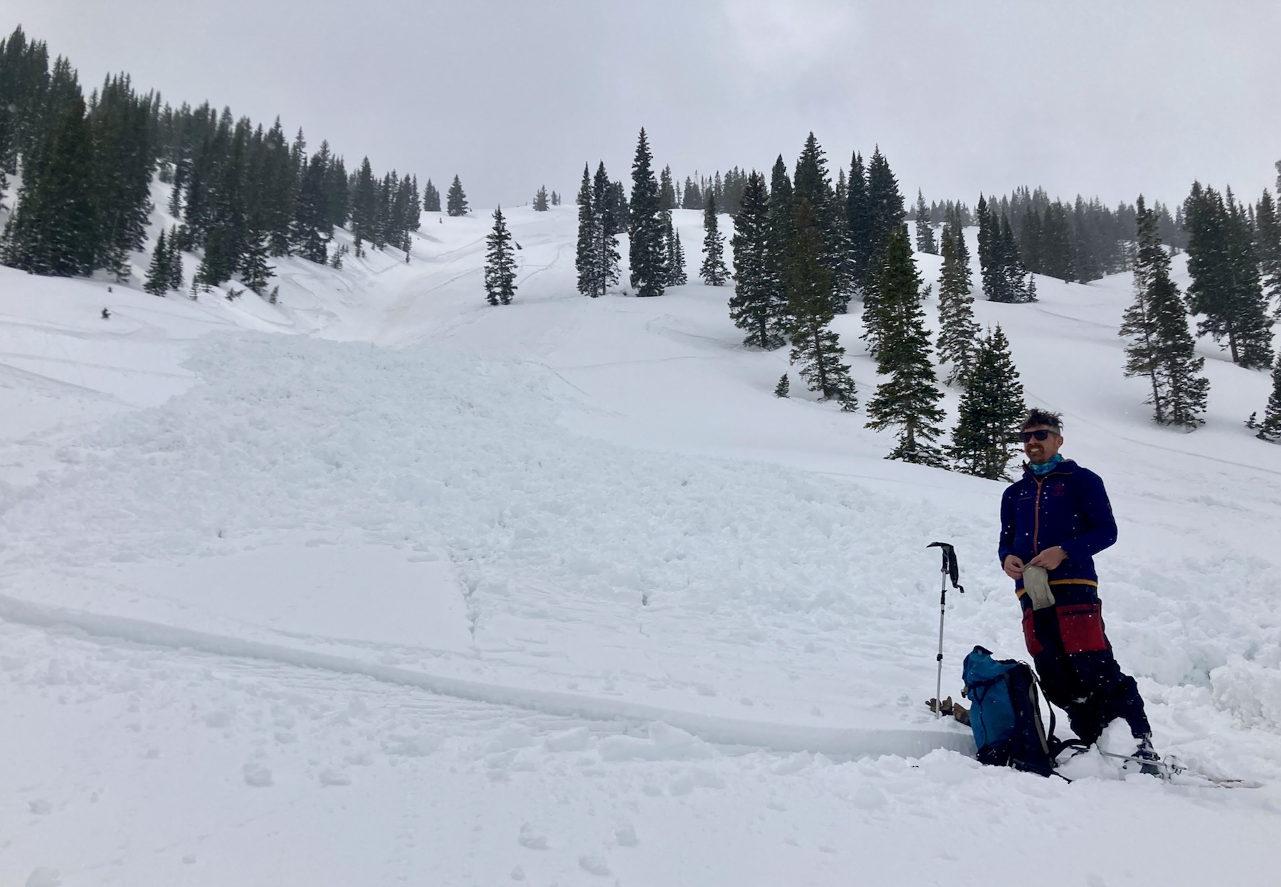
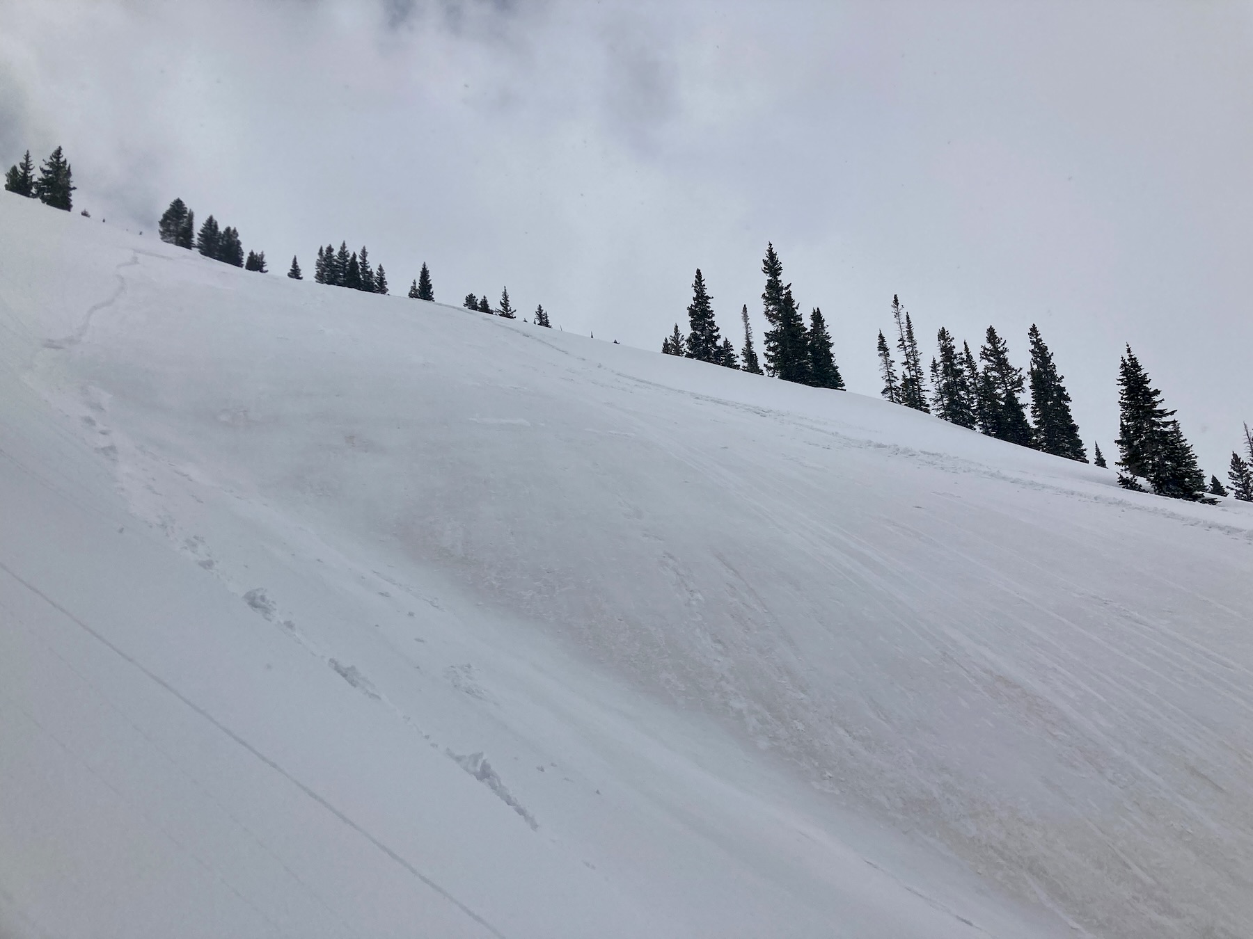
Avalanches: Skier triggered and observed a few fresh natural wet loose avalanches on high, north-facing terrain up to D1.5 in size.
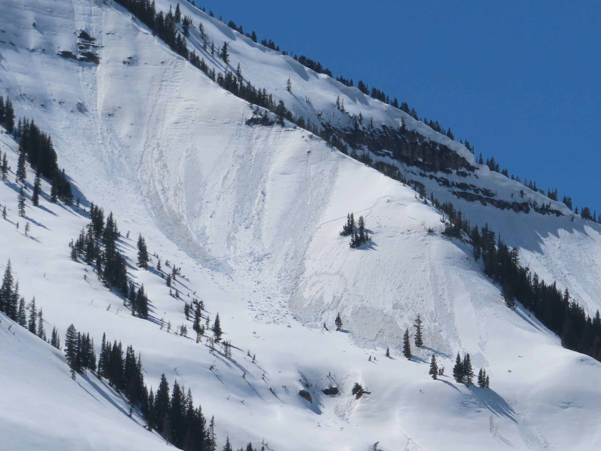
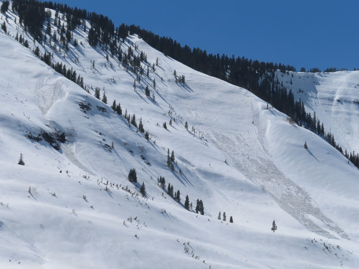
Numerous previously undocumented wet slabs from the April cycle, D2-D3. I’ll document those in a separate ob later this week.
Weather: Clear to few clouds, warm temps, light breeze.
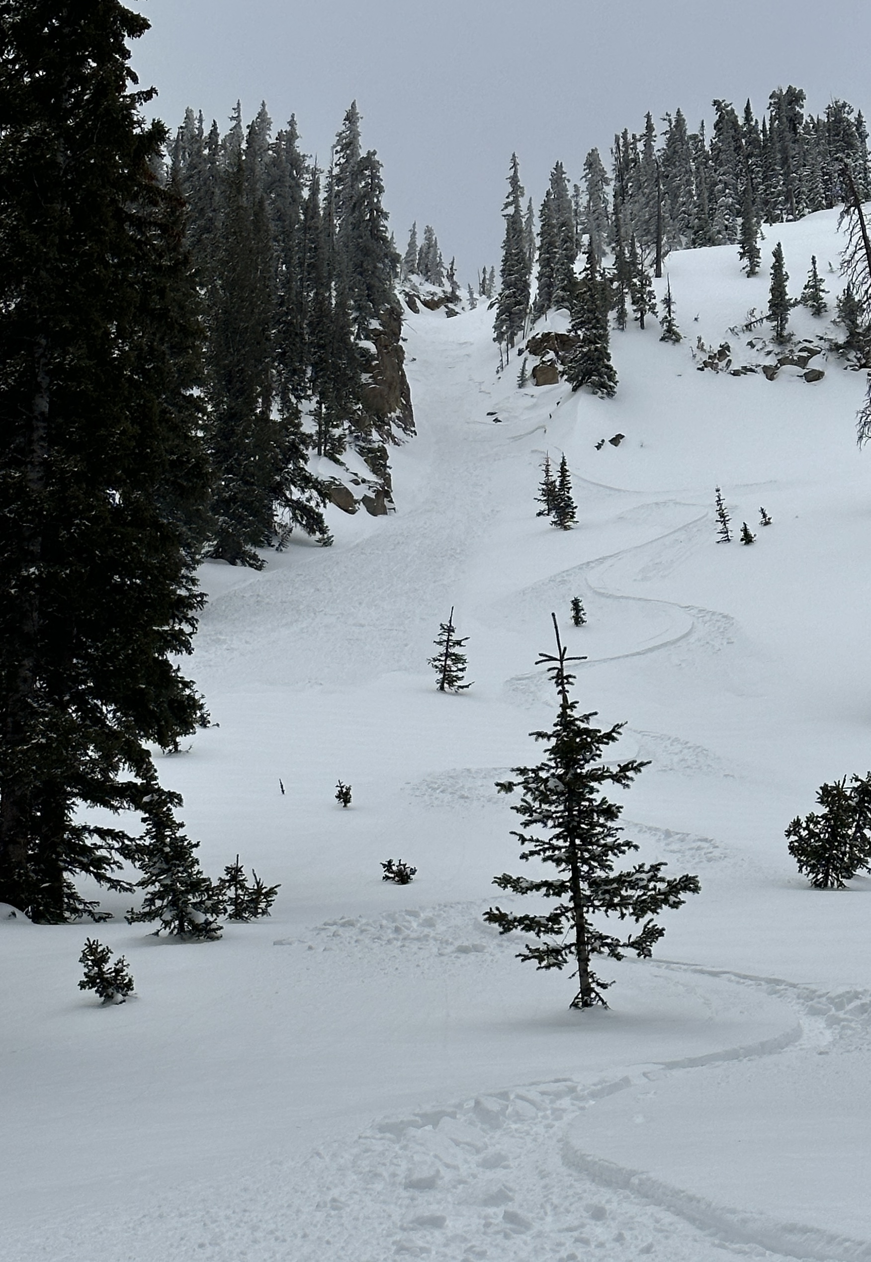
Snowpack: Wet loose avalanches became reactive to ski cuts by mid day on ATL northerly terrain, where the top 6″ of dry powder was just now transitioning to wet snow. Elsewhere, the snow surface has matured through numerous melt-freeze cycles and wet loose avalanches appeared to be unreactive, even on steep terrain late in the day. The snow surface remained supportive to skis through 4 p.m. at all elevations except for a few spots near evergreen trees below treeline.