




New Observation Platform
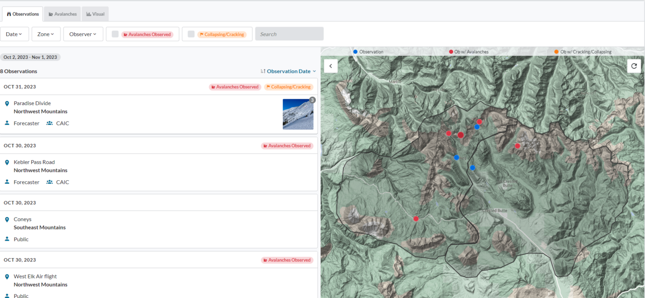
The CBAC is rolling out a new observation platform this season, in partnership with the National Avalanche Center. This platform will be used by most avalanche centers around the country, so you’ll be looking at the same familiar tools if you go skiing or riding in California, Washington, Wyoming, Idaho, etc. The platform also improves our analysis capabilities and data management, and is better suited for future developments like a mobile app.
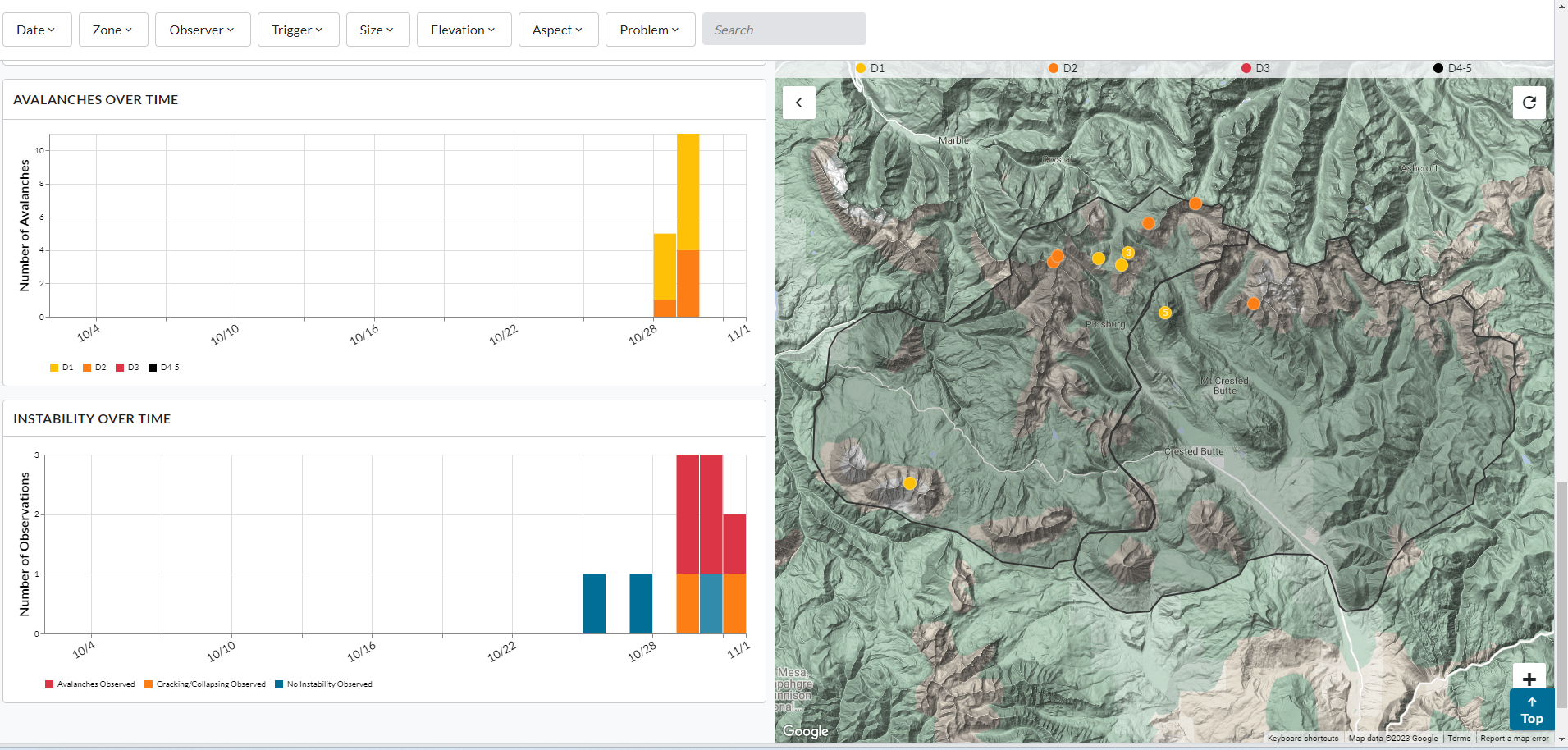
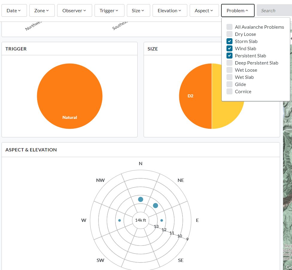
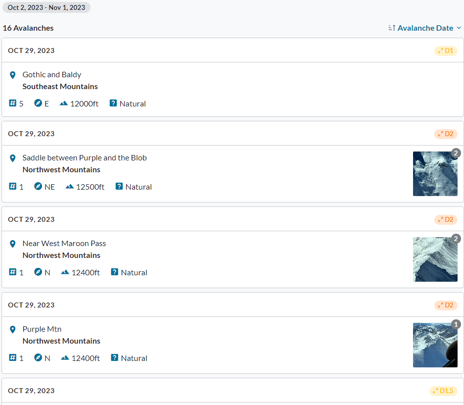
The observation form is intuitive. You can choose between the short form for simple text descriptions and photo uploads, or a long form which allows you to enter avalanche and weather details, along with problem assessments. The observation viewer has three tabs: observations, avalanches, and visualization tools. Check them out! There are a few examples below. As with any new tool, there will be a bit of a learning curve for all of us, but hopefully you’ll find some of the new features helpful for your backcountry adventures.
FAQ’s
Do I have to provide a location when I submit an observation?
Yes, the form requires a location name and a map pin. The location is used in our analysis tools and it is helpful for us to understand how your observation fits into a bigger picture of regional patterns. If you’d prefer to protect your secret stash, you can drop a pin at the trailhead where you started from or in the general area of travel.
What about observations from previous seasons?
All observations from previous seasons are archived on our website still. You can find them under “Resources” from the website menu. We are working on ingesting historical avalanche data into this new tool.
Where is the old avalanche rose?
The new visualization tools allow you to filter your search spatially or by avalanche size, aspect, elevation, trigger, problem, etc, similar to the rose. We are currently working on linking the new database to our avalanche rose so that it still functions. We’ll add it back to the website when/if that happens.
What if I don’t want to fill out an observation form?
You can still text us (970-444-2170), email us (cbavalanche@gmail.com), or tell us what you saw at the trailhead.
A mobile app?
The Northwest Avalanche Center has been developing a mobile app with offline functionality. We will be working with them to make this resource available to our community in the future.
CBAC 2022/23 Annual Report
CBAC’s 2021/22 Annual Report is available to view or download here. The report relives one of the biggest winters of this century, along with the outreach and operational accomplishments of the CBAC. We also recognize the many sponsors, donors, and partners who are critical to our mission. Thank you!
More wet slabs on Whetstone
Date of Observation: 05/21/2023
Name: Turner Peterson
Zone: Southeast Mountains
Route Description: Whetstone
Observed avalanche activity: Yes
Avalanches: More whetstone NE/E wet slabs lake bowl
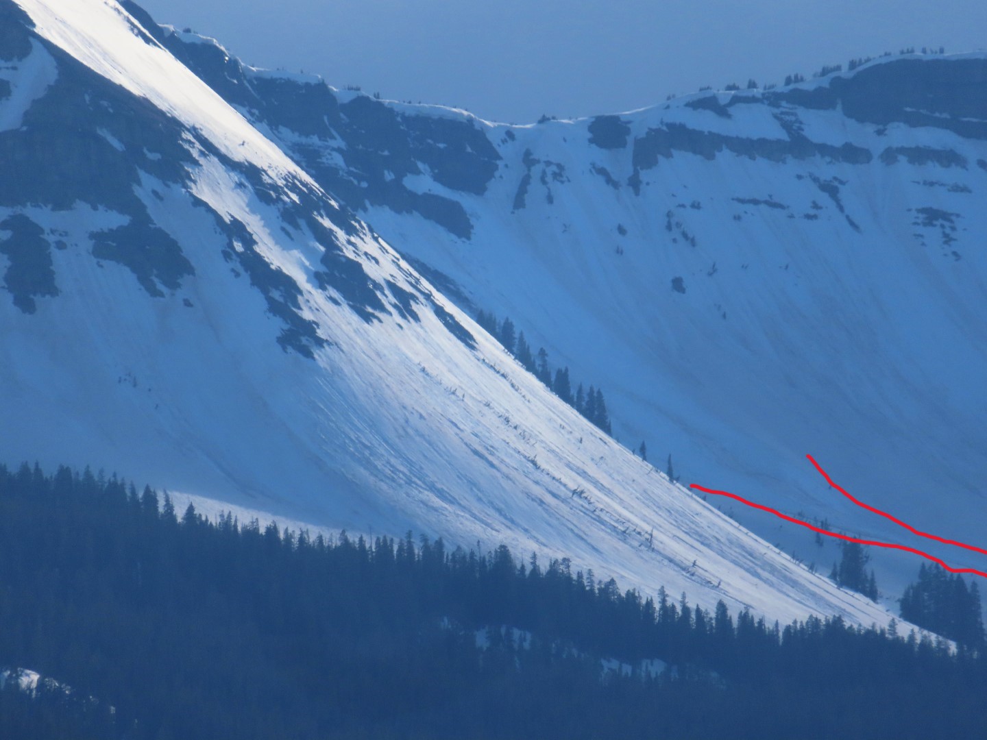
Large wet slides below Scarp Ridge
Date of Observation: 05/18/2023
Name: Zach Guy
Zone: Northwest Mountains
Route Description: Scarp Ridge, viewed from Snodgrass TH
Observed avalanche activity: Yes
Avalanches: A pair of large wet avalanches ran sometime since I had views of that area yesterday at noon. They appear to be cornice-triggered wet slabs

More wet slab activity on Whetstone
Date of Observation: 05/17/2023
Name: Zach Guy
Zone: Southeast Mountains
Route Description: M Face on Whetstone. Viewed from Mt. CB
Observed avalanche activity: Yes
Avalanches: Another fresh wet slab on Whetstone. M Face ran sometime this afternoon.
Shallow freeze on Gothic
Date of Observation: 05/17/2023
Name: Zach Guy
Zone: Southeast Mountains
Route Description: Gothic Peak, traveled on southerly and easterly aspects to 12,600′
Observed avalanche activity: Yes
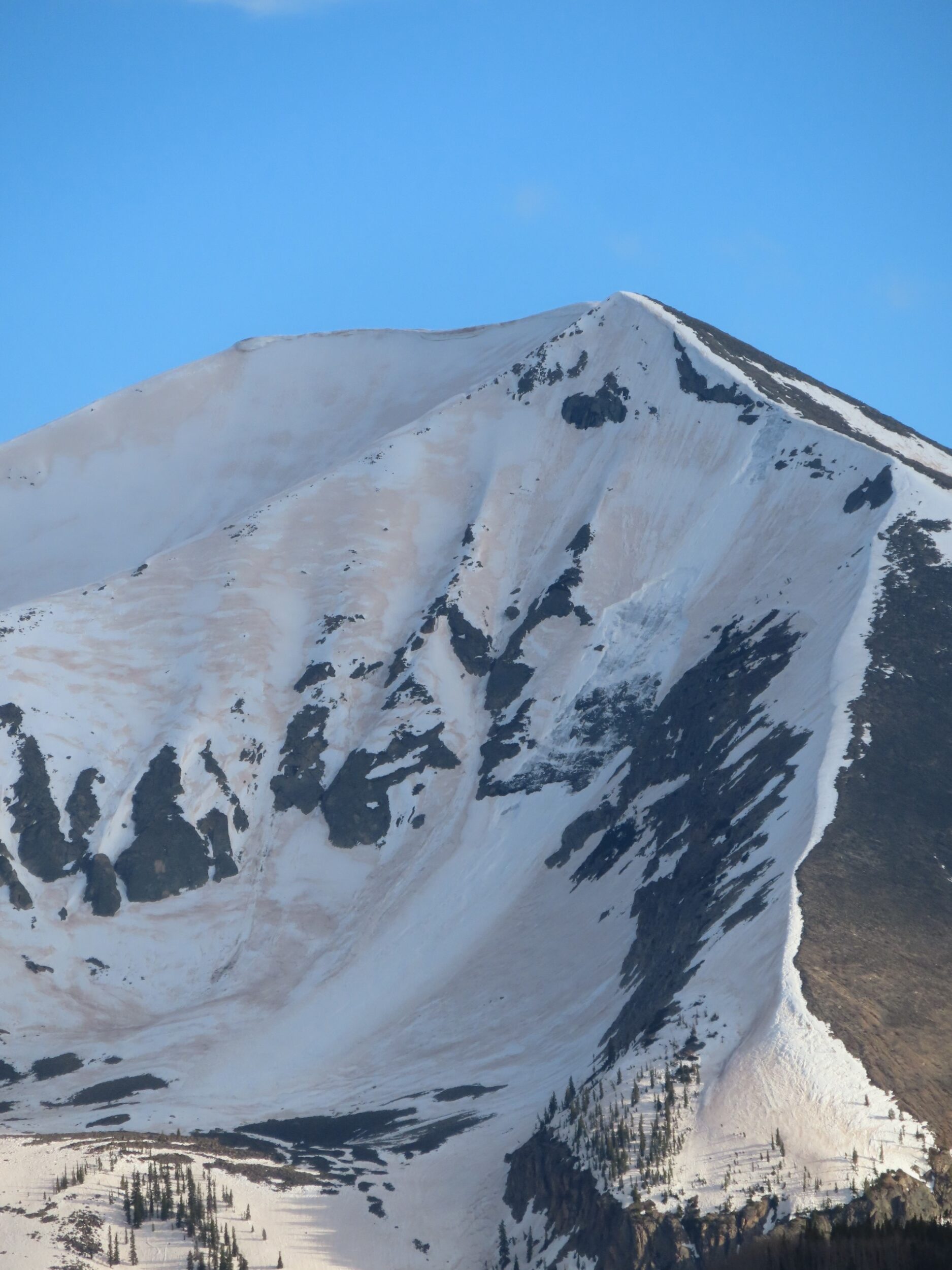
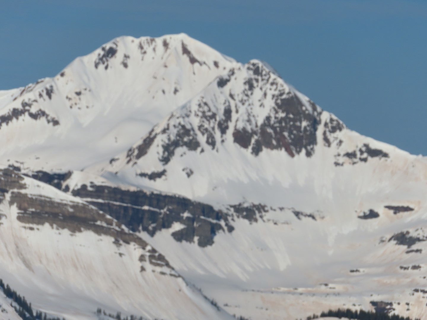
Avalanches: The bulk of recent avalanches have been D1-1.5 wet loose on northerly aspects N/ATL, where the snow is still in a transitional phase.
Weather: Scarp Ridge (@12k) had a minimum temp of 37 last night under clear skies. Mountain temps rose to the mid 40’s to mid 50’s, with partly cloudy skies developing by mid day. Calm winds where we traveled.
Snowpack: About 5″ refreeze which was just enough for mostly supportive boot pen and supportive ski pen before sunrise. Good corn around 8:30 a.m. on easterly aspects. Once crusts broke down later in the morning, ski pen became trapdoor near rocky areas and trees. It was easy to trigger small wet loose avalanches, but they didn’t gain volume; just ran slowly down existing runnels. Cornices are still big and saggy looking; we chose routes that avoided being underneath them given the warm day.
-
- Recent wet loose activity on northeasterly aspects of Owen and Purple. Sorry for the blurry photo.
Wet slabs Barcelona Bowl
Date of Observation: 05/16/2023
Name: Zach Guy
Zone: Southeast Mountains
Route Description: Whetstone. Viewed from town.
Observed avalanche activity: Yes
Avalanches: Two large wet slabs ran today, adjacent to but independent of each other in Barcelona Bowl, probably cornice triggered.
Weather:
Snowpack:


April wet slab activity from West Brush and Copper Creek
Date of Observation: 05/10/2023
Name: Zach Guy
Zone: Southeast Mountains
Route Description: Copper Creek and West Brush Creek areas, viewed from Whiterock
Observed avalanche activity: Yes
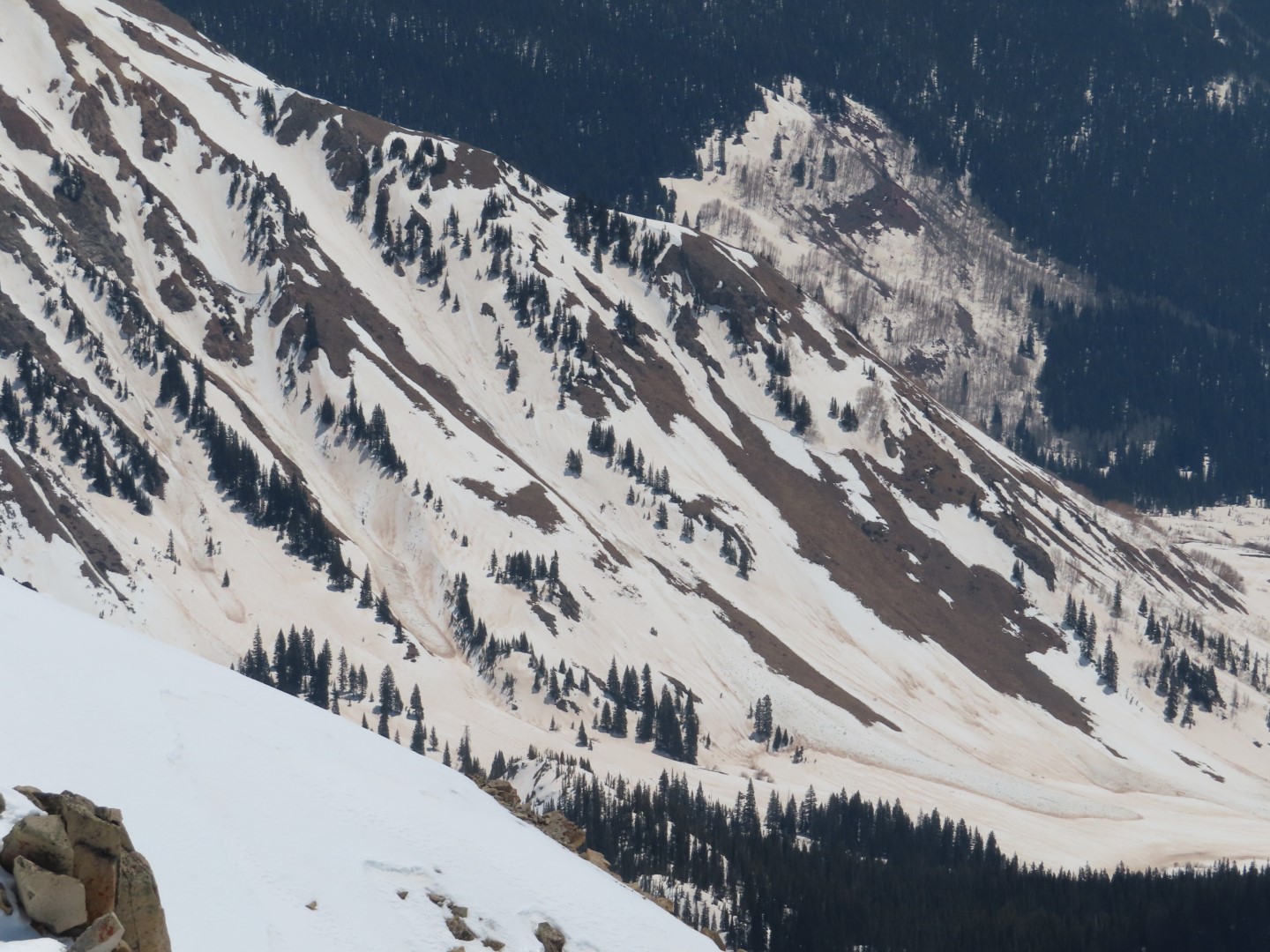
Avalanches: Numerous previously undocumented D2 to D3 wet slabs likely ran during our April 9 to April 13 wet cycle. I coded their failure dates during the peak of the cycle 4/10 – 4/11, although I suspect activity was distributed across a wider date range than that.
-
- Several D2-D3 wet slabs below the west side of Teo.
-
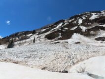
- A D3 wet debris pile that crossed Copper Creek trail about a mile upstream of Judd Falls.

-
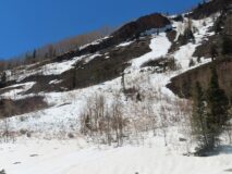
- A D2.5 wet debris pile near Copper Creek trail about a mile upstream of Judd Falls.

-
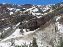
- A D3 wet debris pile above Copper Creek trail about a mile upstream of Judd Falls.
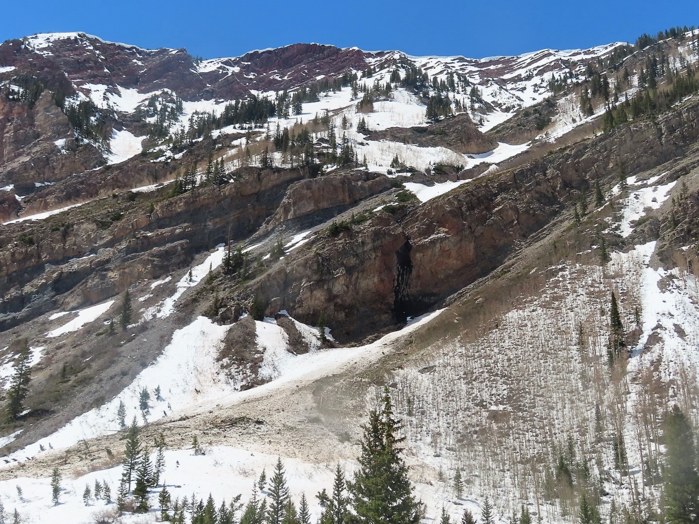
-
- Wet debris pile below the Spork. (Previously documented)
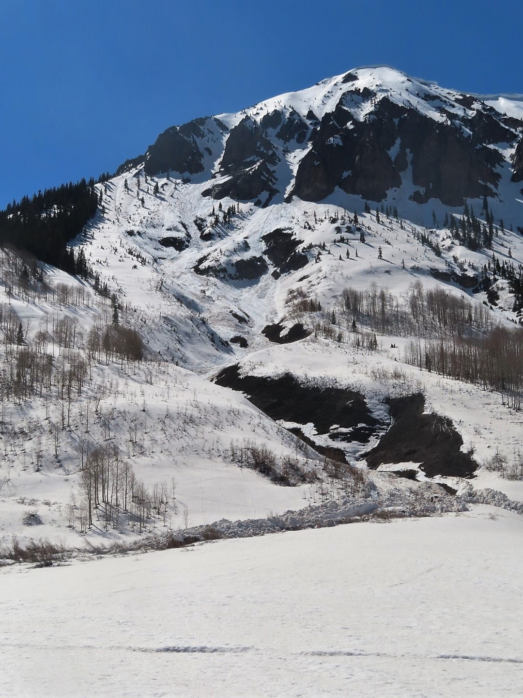
-
- Wet debris below the East face of Gothic, most of this was previously documented except one.

April wet slab activity from Copper Creek
Date of Observation: 05/10/2023
Name: Zach Guy
Zone: Southeast Mountains
Route Description: Copper Creek area
Observed avalanche activity: Yes
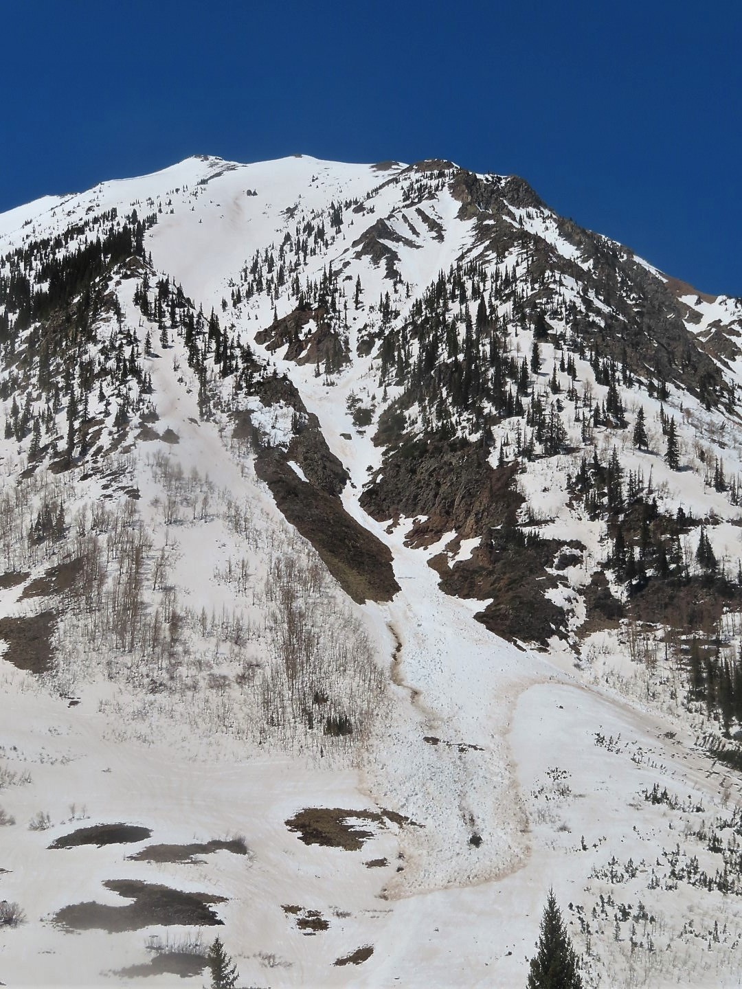
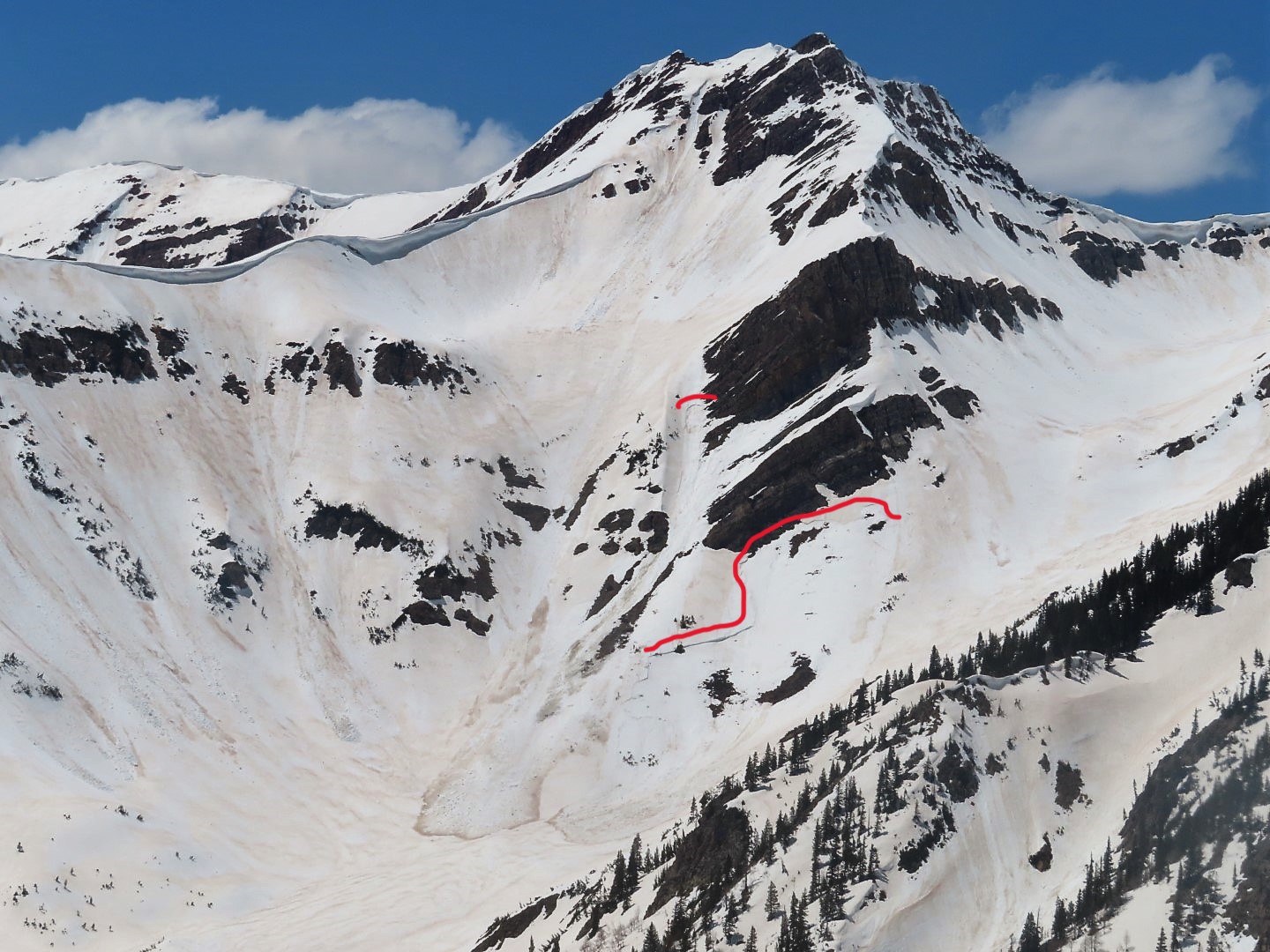
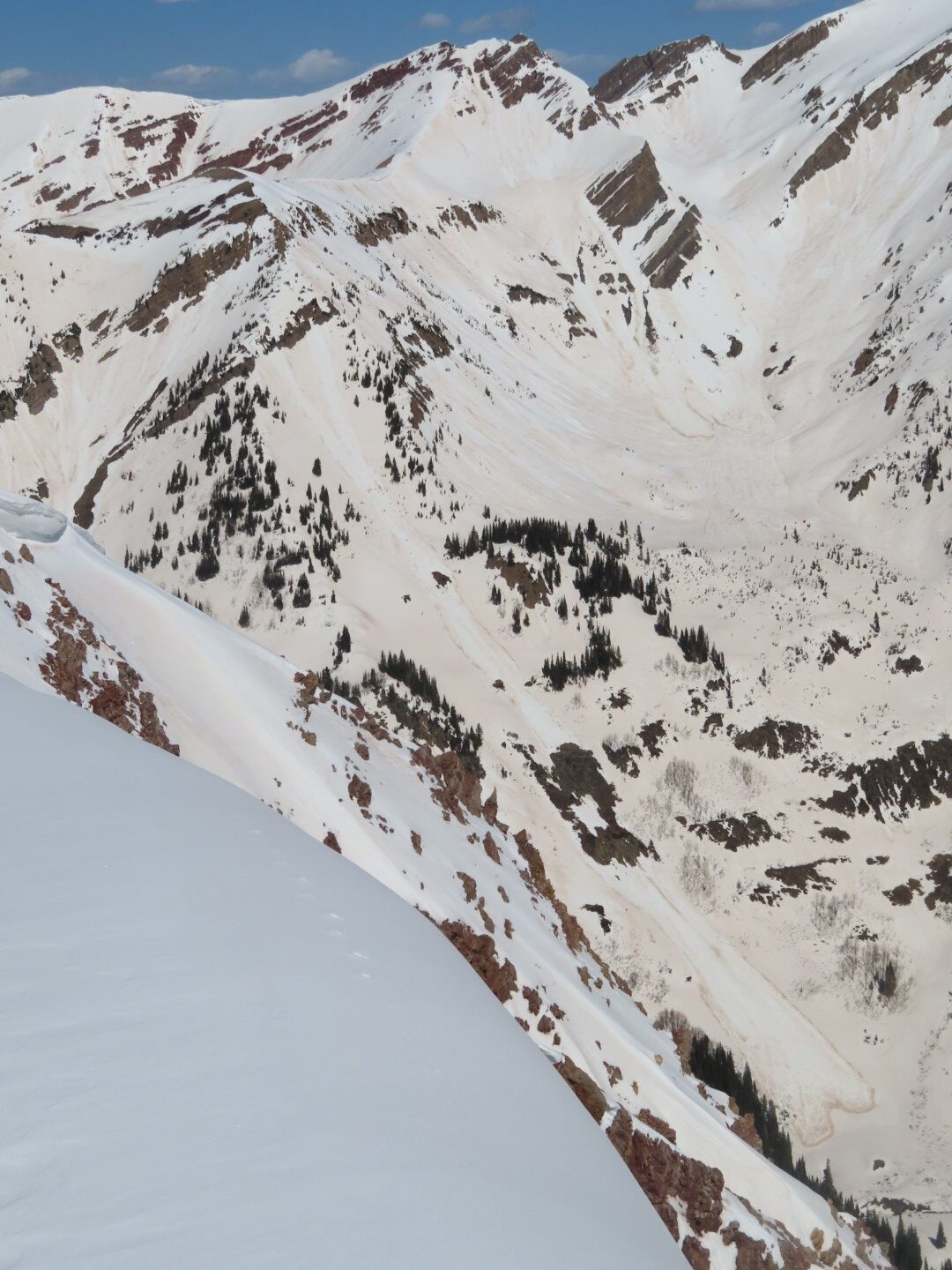
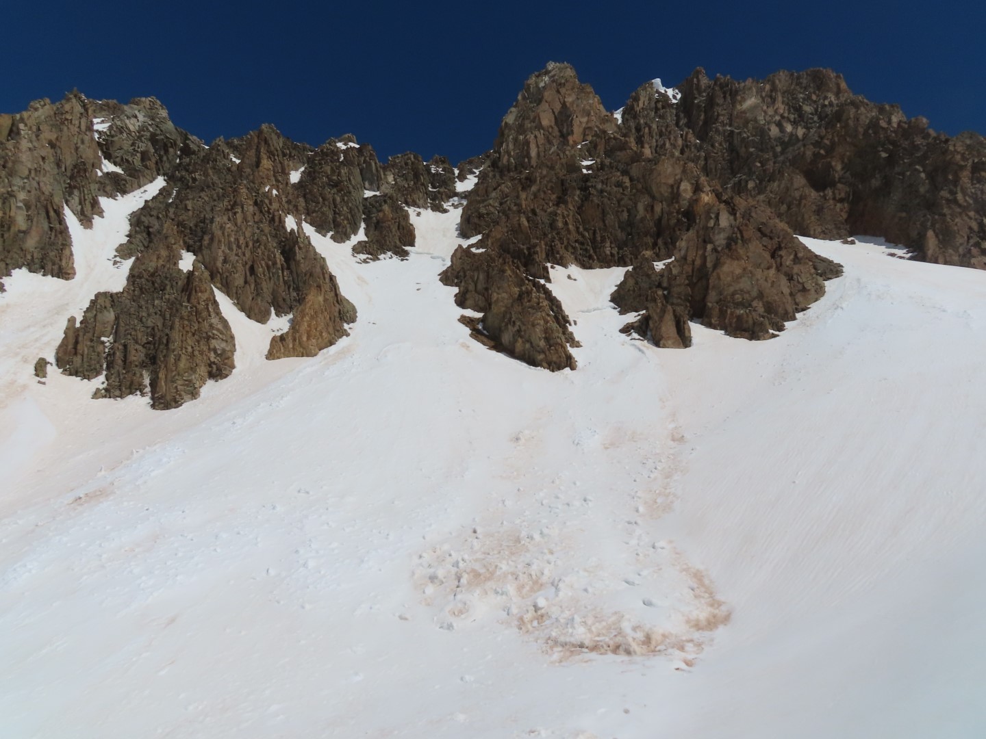
Avalanches: Numerous previously undocumented D2 to D3 wet slabs likely ran during our April 9 to April 13 wet cycle. I coded their failure dates during the peak of the cycle 4/10 – 4/11, although I suspect activity was distributed across a wider date range than that.
-
- D3 wet debris near Peak 13043. Not sure if this was a wet slab or wet loose.
-
- Wet slabs near Peak 13043.
-
- Wet slabs near Peak 12366

-
- Near Peak 12366. Appeared to be a wet loose that triggered a wet slab.
-
- Wet slabs below SW Ridge of Whiterock
-
- Wet slab and wet loose below Peak 12487 (near Copper Pass)
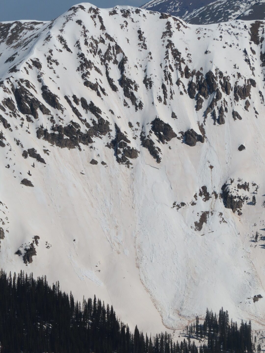
-
- Wet slab below SW Ridge of Whiterock
