Date of Observation: 04/02/2022
Name: Zach Guy and Evan Ross
Zone: Northwest Mountains
Route Description: Traveled on various aspects to 11,600 ft in the Slate and Poverty Gulch areas.
Observed avalanche activity: Yes
Avalanches: A handful of small loose wet avalanches ran today at all elevations. Most were on easterly aspects where we traveled.
Weather: A mix of sun and clouds. Sun had the upper hand in the morning, clouds took the lead in the afternoon. Light to moderate westerly winds, with periods of snow transport observed off of high peaks. Warm temps.
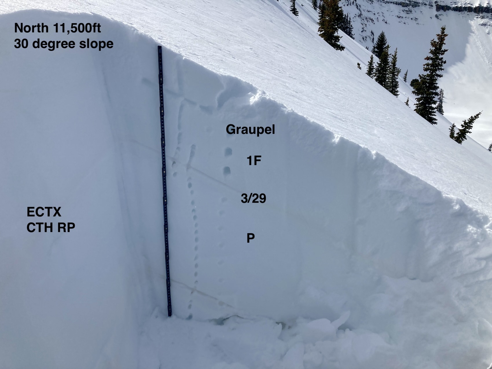
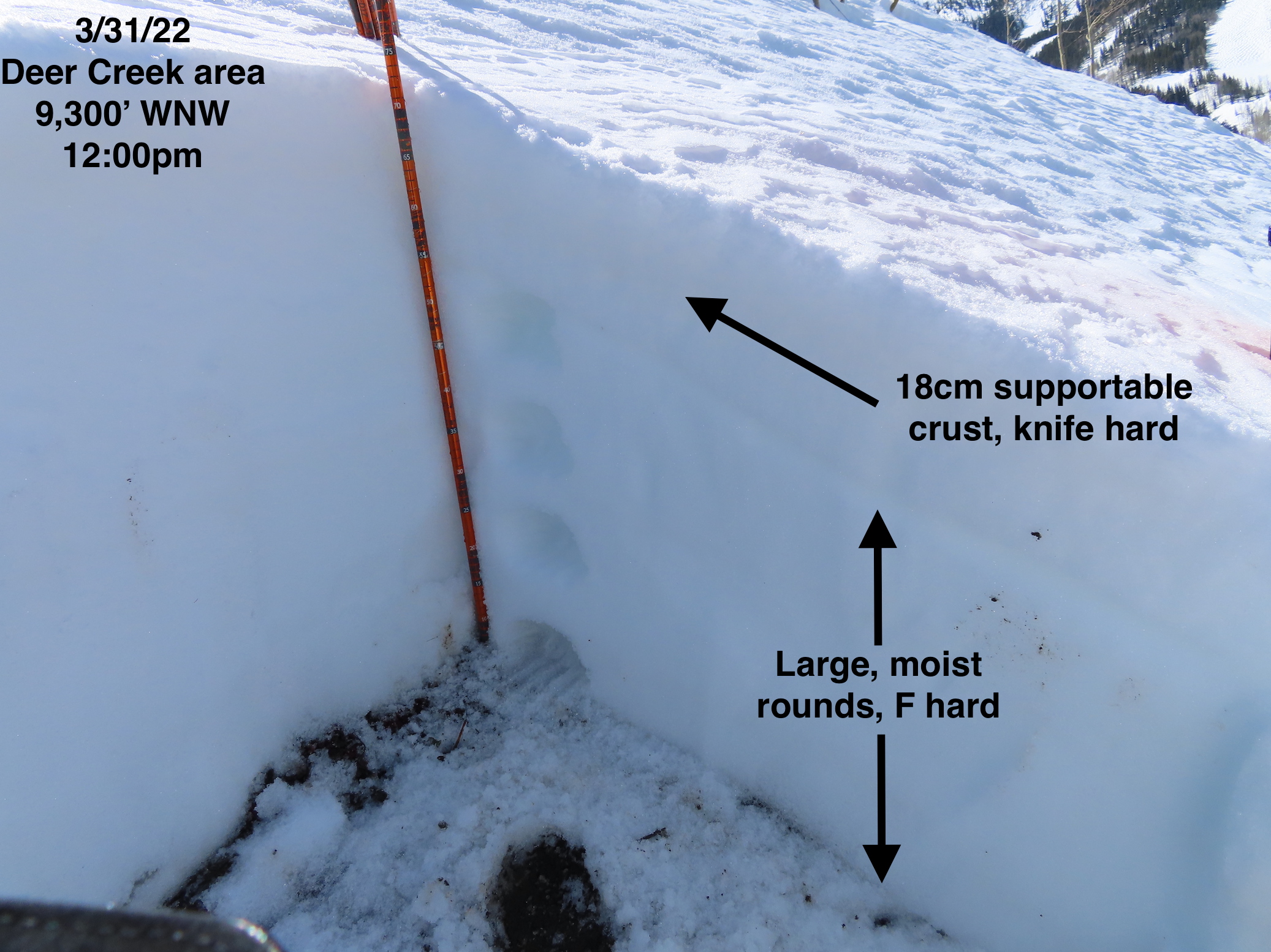
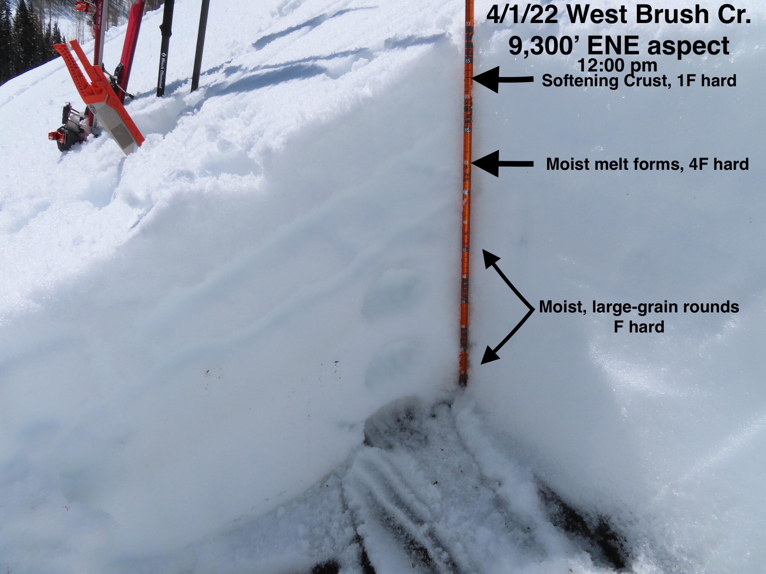
Snowpack: The recent storm snow, up to 18″, got wet or moist at the surface on all but due north aspects, spurring numerous rollerballs and a handful of minor wet loose slides. Near and below treeline, we tested steep rollovers and previously drifted slopes with ski and snowmobile cuts without any notable results; some occasional minor cracking. Stability test results on a due north slope produced non-propagating results at the storm interface.
Photos:-
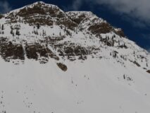
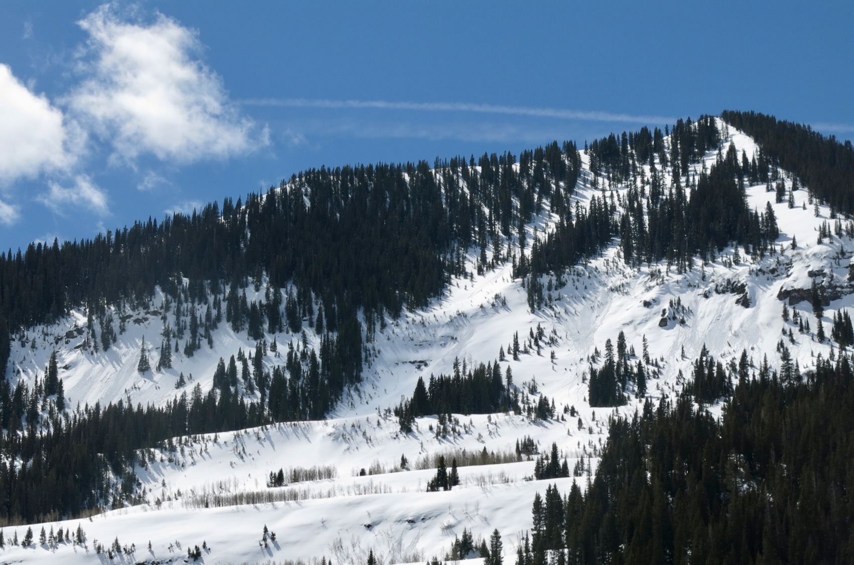
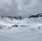
- Small wet loose avalanches below Cascade Peak (E, BTL)

-
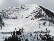
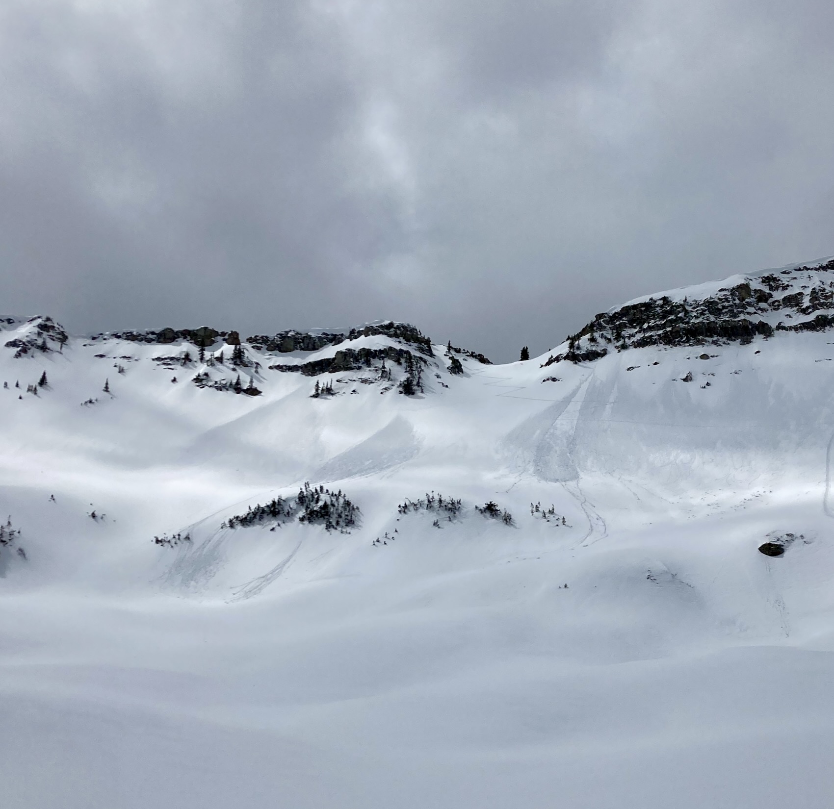
- Rollerballs and harmless wet loose slides on Schuylkill Peak (E to NE)

-
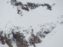
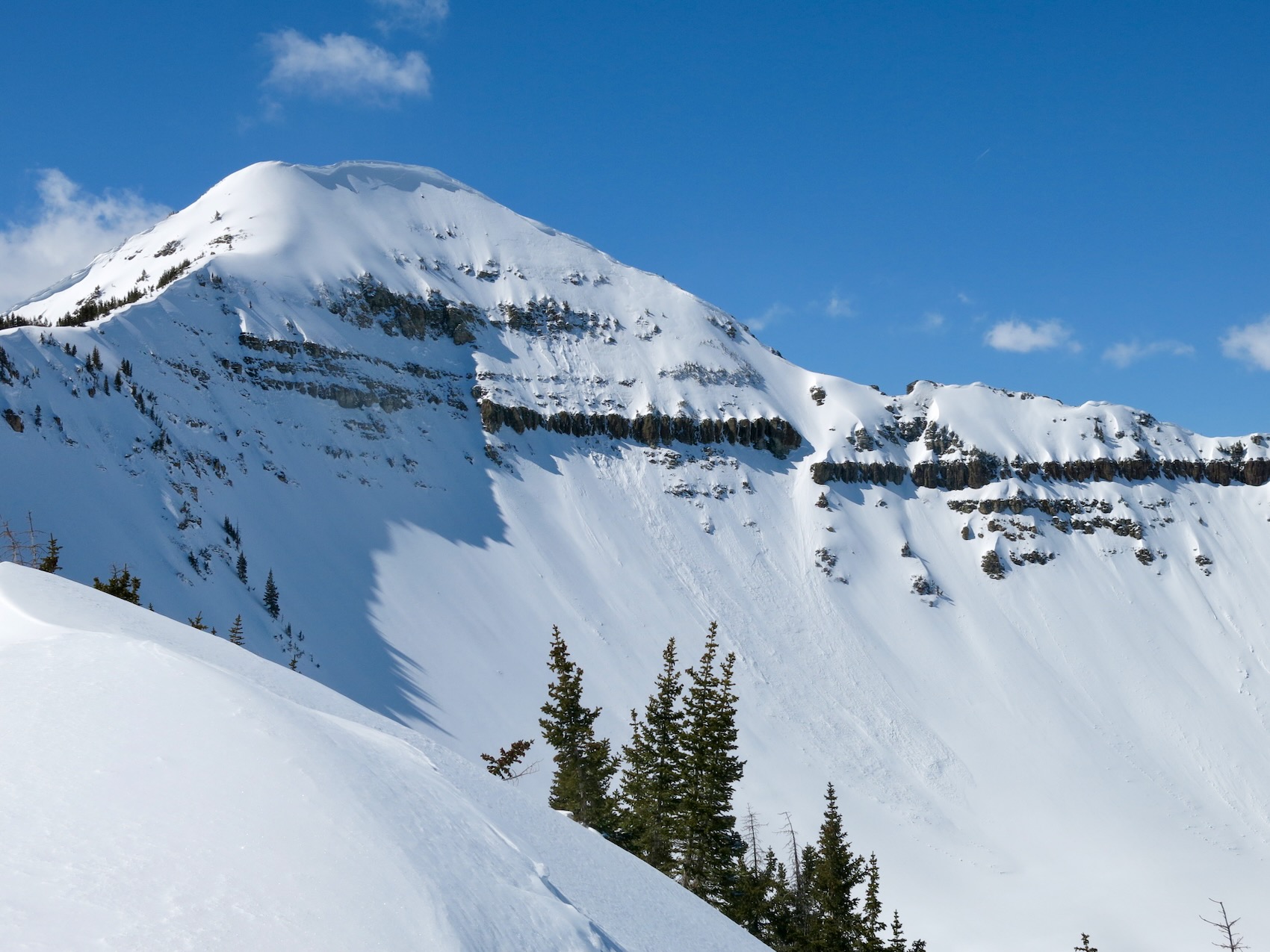
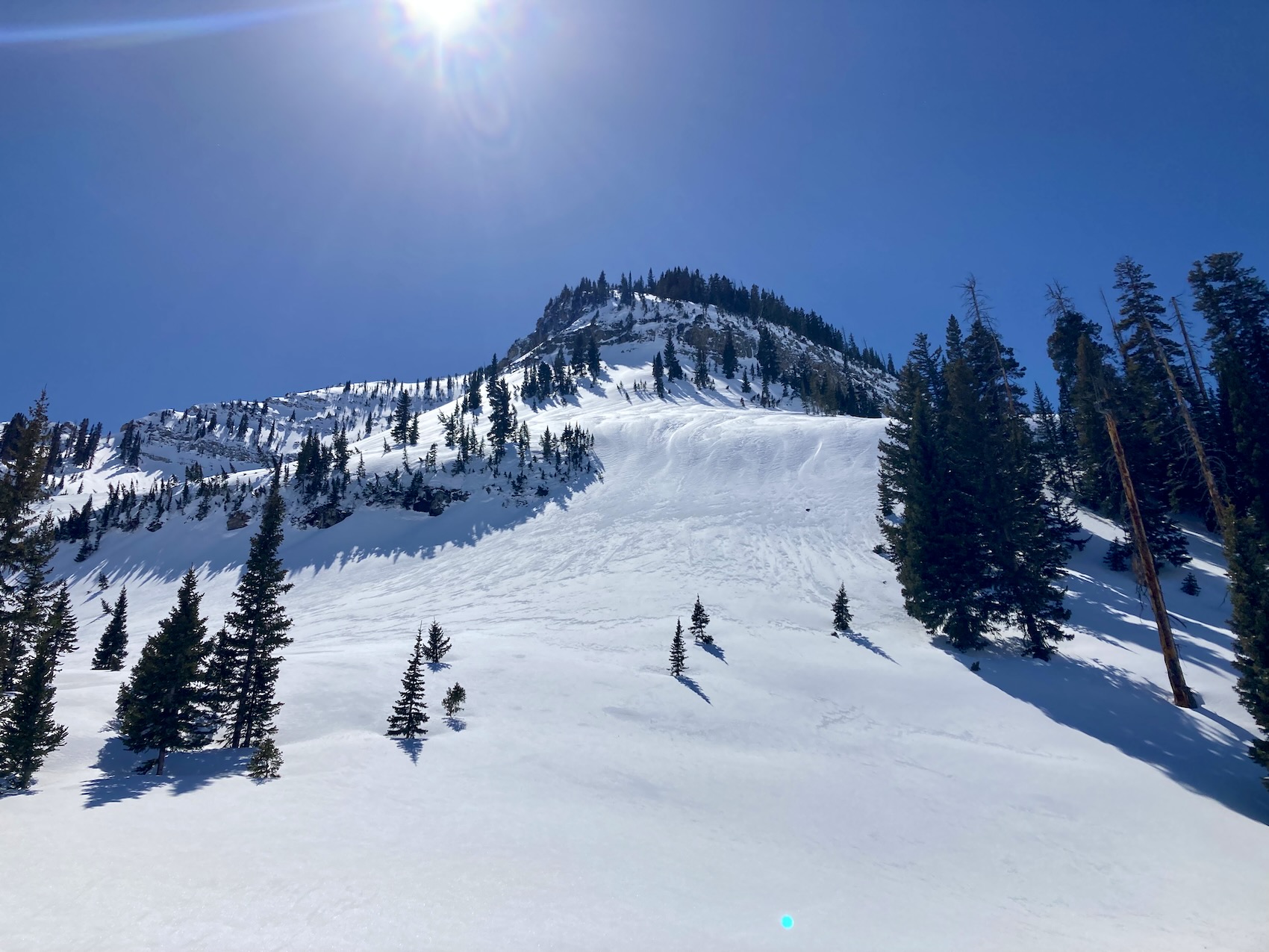
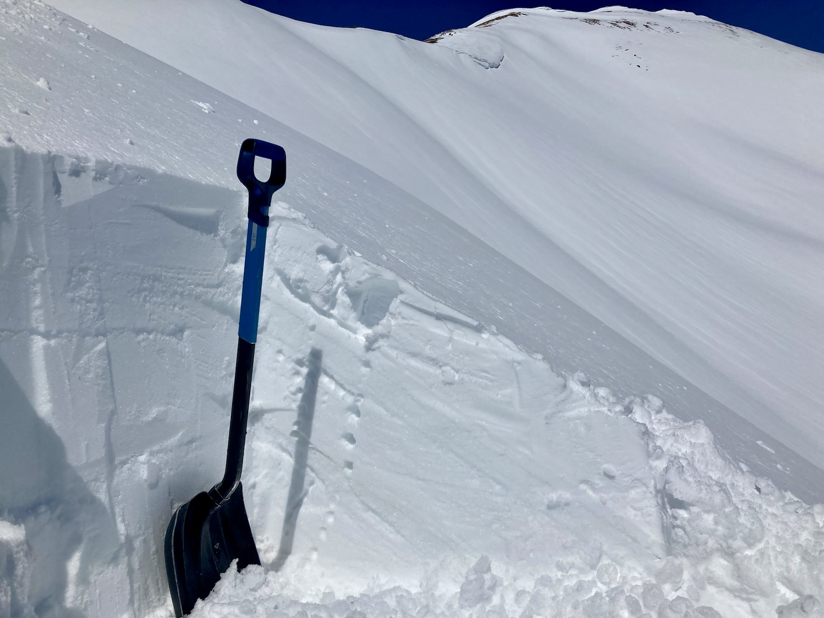
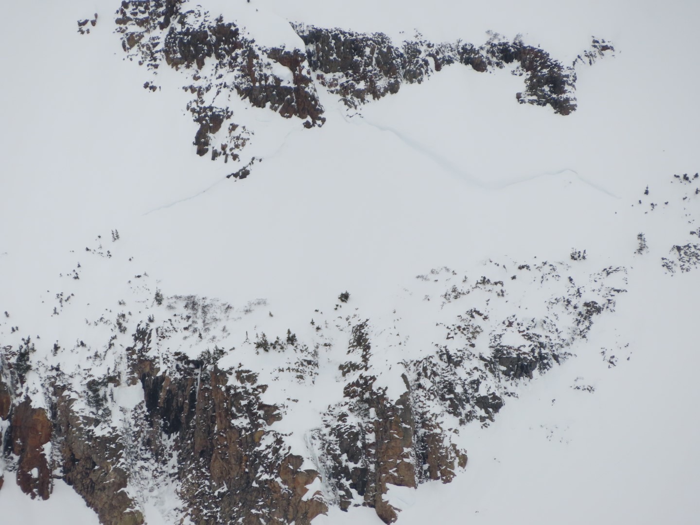
- Closer look at the deeper crown recently reported on Oh-Be-Joyful Peak.
-

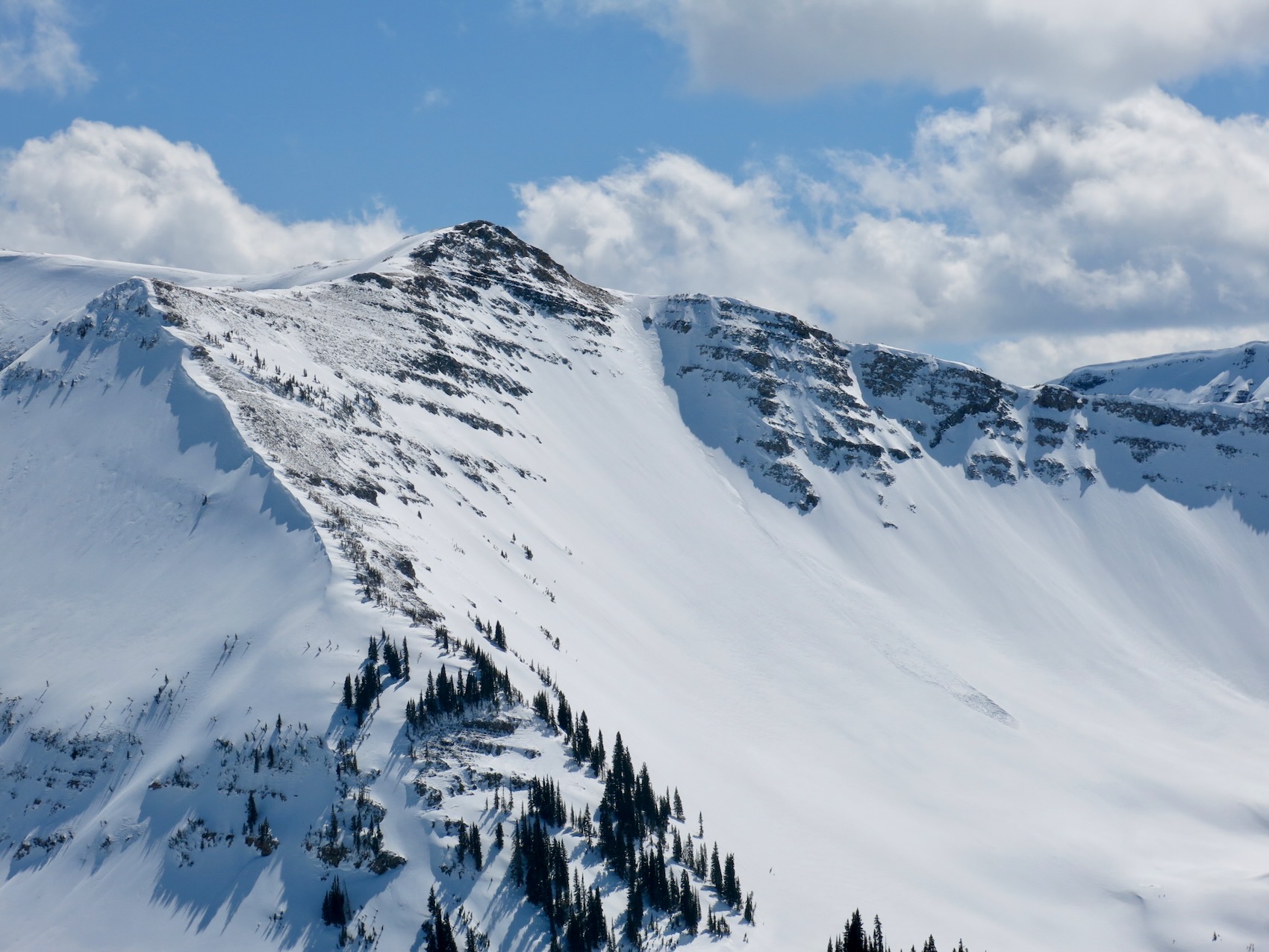
- Schuylkill
-
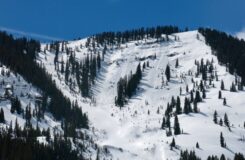
- Schuylkill

-
- Schuylkill

-
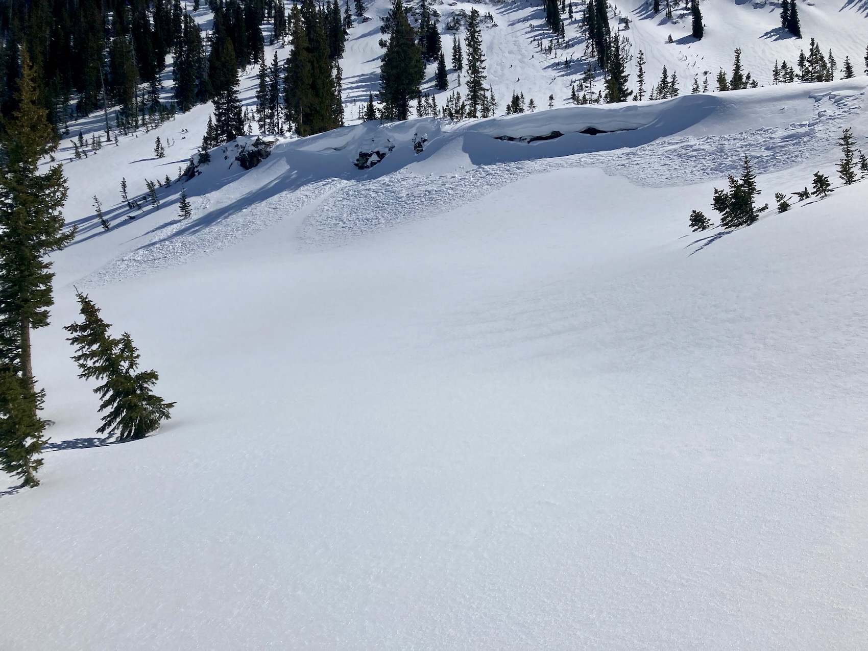
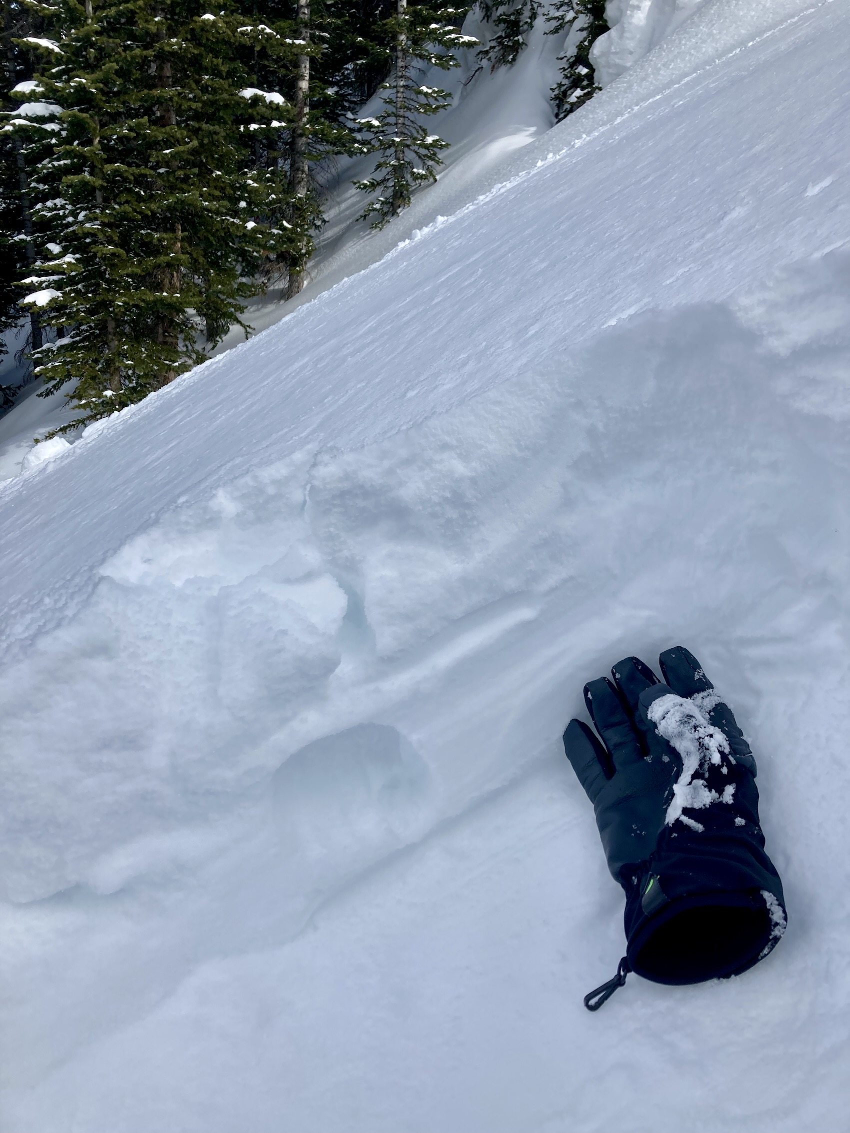
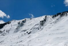
- Roller balls and a small loose wet. ENE 11,500ft.
-

- Roller balls east on Scarps Ridge.