Pittsburg

CB Avalanche Center2015-16 Observations

Location: Paradise Divide Area
Date of Observation: 12/19/2015
Name: Alan Bernholtz
Subject: Pittsburg
Aspect: North East
Elevation: 10,500

Avalanches: None
Weather: Partly cloudy, warm and calm
Snowpack: Shallow unconsolidated snowpack 50-70 cm. Large surface hoar and loose snow on the surface. Not much of a mudpack to speak of. No slab was observed.
Skied terrain around 40 degrees with no results. Very unconsolidated weak snow.

Ruby Range

CB Avalanche Center2015-16 Observations

Location: Kebler Pass Area
Date of Observation: 12/19/2015
Name: JSJ, Donny, Level 2 Class
Subject: Ruby Range
Aspect: North, North East, East, South East
Elevation: 10,500-11,900′

Weather: Increasing clouds; Increasing temps; High of -1C / Low of -4C; Calm to Light SSW winds; Blowing snow off ridge tops ~12k SSW
Snowpack:

unnamed

Snodgrass TH

CB Avalanche Center2015-16 Observations

Location: Crested Butte Area
Date of Observation: 12/19/2015
Name: Jake, Chris, Avy 1 Prep Course
Subject: Snodgrass TH

Weather: Grey bird, No wind
Snowpack: HS 45cms, Facets capped by big SH

Snowpit Axtell Glades

CB Avalanche Center2015-16 Observations

Location: Kebler Pass Area
Date of Observation: 12/19/2015
Name: Jimmy Buchanan
Subject: Snowpit Axtell Glades
Aspect: West
Elevation: 9,600 ft.

Avalanches: None.
Weather: Scattered clouds, see profile.
Snowpack: See profile.

Axtell-Dec.-19

Cement Creek Snow Coverage

CB Avalanche Center2015-16 Observations

Location: Cement Creek Area
Date of Observation: 12/18/2015
Name: Evan Ross
Subject: Cement Creek Snow Coverage
Aspect:
Elevation: 9000,-12,000 along road

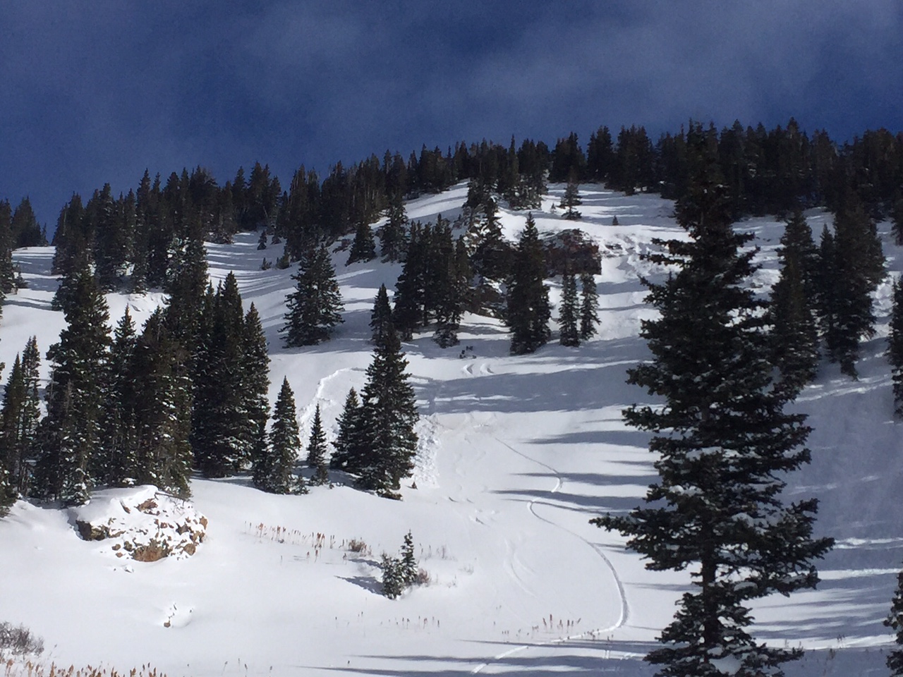
Avalanches: Non observed.
Weather: Partly Cloudy becoming overcast in the afternoon. Calm wind.
Snowpack: BTL: Very little snow. About 30cm HS on average. 2″ settled storm snow over facets or crusts.

NTL: Looked like the most continues snow coverage and deepest HS. If persistent slab structure is still intact, this looked like the most likely elevation to find that avalanche problem.

ATL: Snow coverage is mostly confined to gullies and wind loaded areas. Looked very “continental” with generally very little snow coverage.

Phone book style wind slab resting over facets with natural crack running through convexity. HS about 50cm in deepest part of the wind loaded feature. South aspect at 12,000ft

IMG_1076

Northwest side of Lambertson Massif.

IMG_1075

North Facing shaded trees NTL

IMG_1069

West side Italian Mountain

IMG_1078

Looking west to Crystal Peak and Star Pass in the distance

IMG_1085

NW facing bowl on Cement Mountain

Mountain Weather 12/19/15

CB Avalanche CenterWeather

Date: 12/19/2015

A the high pressure ridge axis moves east of us today, we will see warm southwest flow ahead of the first in a series of Pacific waves. Mountain temperatures will climb into the 30’s above valley inversions today with clear skies. Tomorrow, a poorly organized cold front swings in from the northwest, bringing showery snowfall beginning midday. Accumulations should be less than a few inches by sunset. Unsettled weather continues early next week before a more powerful system arrives Tuesday into Wednesday. Details to come.

Crown profile of skier triggered slide

CB Avalanche Center2015-16 Observations, Snow Profiles

Location: Kebler Pass Area
Date of Observation: 12/18/2015
Name: Zach Guy
Subject: Crown profile of skier triggered slide
Aspect: South West
Elevation: 11,000

Avalanches: See crown profile. Investigated the crown of a unintentional skier triggered slide that occurred earlier in the day. Skier was initially caught but not carried. SS-ASu-R1-D1-O. The avalanche broke on a layer of fist hard facets below 12/11 melt freeze crust. It was on a slightly cross loaded feature, with crown height ranging from 35cm to 20 cm. Approximately 75 feet wide and 200 vertical feet.

Weather: Light snow transport from light to moderate NW winds. Scattered to broken skies. Mild temps.

Snowpack: See profile.

image2
20151218-thortons-crown-profile

Mountain Weather 12/18/15

CB Avalanche CenterWeather

Date: 12/18/2015

High pressure is rebuilding over Colorado, bringing clear skies and rebounding temperatures through Saturday. Temps have already risen 10 degrees overnight in town, and we should see them reach the mid to upper 20’s today in the mountains and into the 30’s tomorrow under warm air advection. A series of Pacific waves will begin to impact our region beginning late Saturday night. Sunday’s system looks poorly organized, but it will signal the start of a snowy week.

Goooooood

CB Avalanche Center2015-16 Observations

Location: Kebler Pass Area
Date of Observation: 12/17/2015
Name: Than
Subject: Goooooood
Aspect: North East
Elevation: BTL

Avalanches: None aeen in our area
Weather: Cold, periods of wind with some snow transport, partly cloudy
Snowpack: New snow remained light and good in protected areas. Slabbing up out in open a little. Cut across the top of steep, small convexity with no results.