Location: Crested Butte Area
Date of Observation: 03/19/2016
Name: jsj
Date of Observation: 03/19/2016
Name: jsj
Subject: Wind and Warm (again)
Aspect: North, North East, South, South West
Elevation: 9-10,800
Aspect: North, North East, South, South West
Elevation: 9-10,800
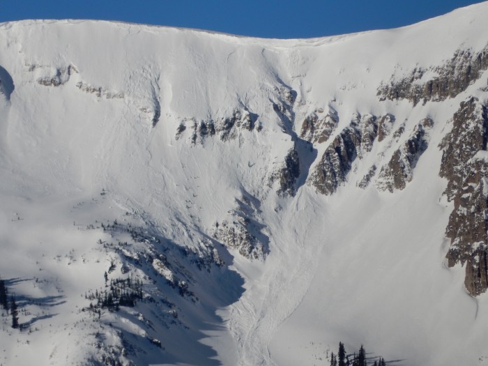
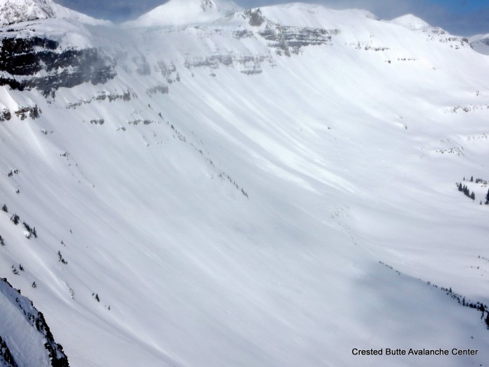
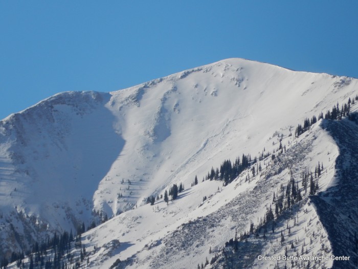
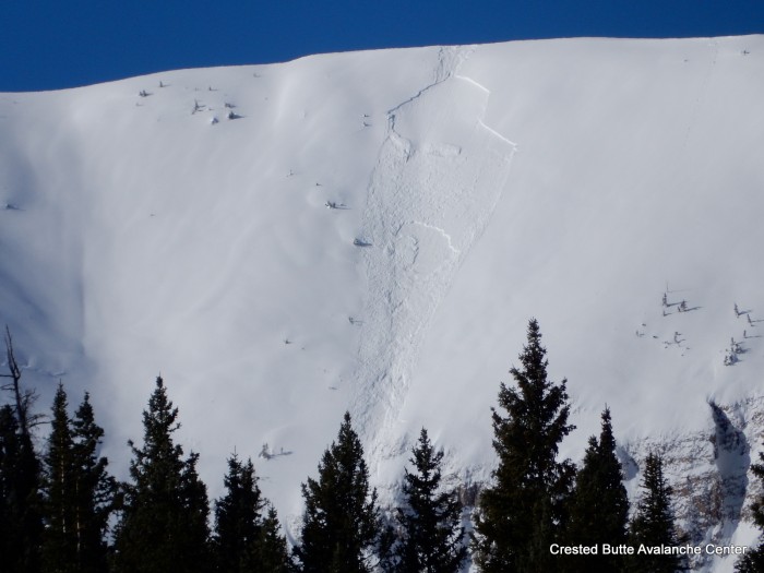
Avalanches:
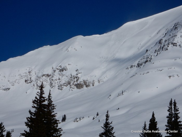
Weather: Clear, Warm, winds Mod to Strong with gusts throughout the day from the WSW
Snowpack: Snow surfaces a mix of Knife hard wind polished white ice; Fist hard soft, wind affected or wind deposited powder; or moist surfaces where exposed to sun. No new instabilities or avalanche activity seen in the range as of 1300.