Location: Crested Butte Area
Date of Observation: 01/07/2018
Name: billy bar
Subject: Gothic 7am Report
Aspect:
Elevation:
Avalanches:
Weather: It actually cleared soon after the 5:30 reading so all holds the same except a 0.01″ water increase. So the past 24 hours (15 really) saw 11″ new snow with only 0.60″ of water. Snowpack at 26″ now. Wind is starting up but sky has cleared to just partly cloudy as temp. holds at 22ºF but will dip briefly i would think.
Snowpack:
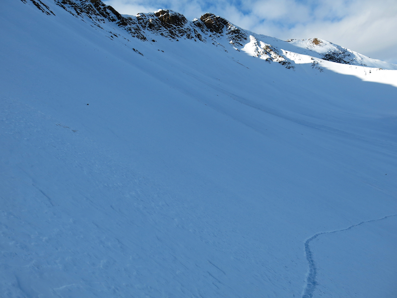
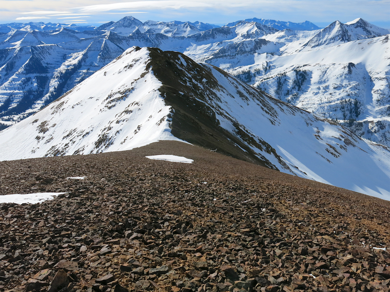
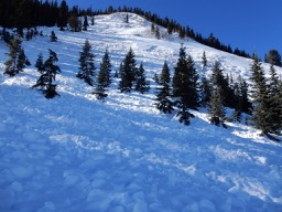
Photos: