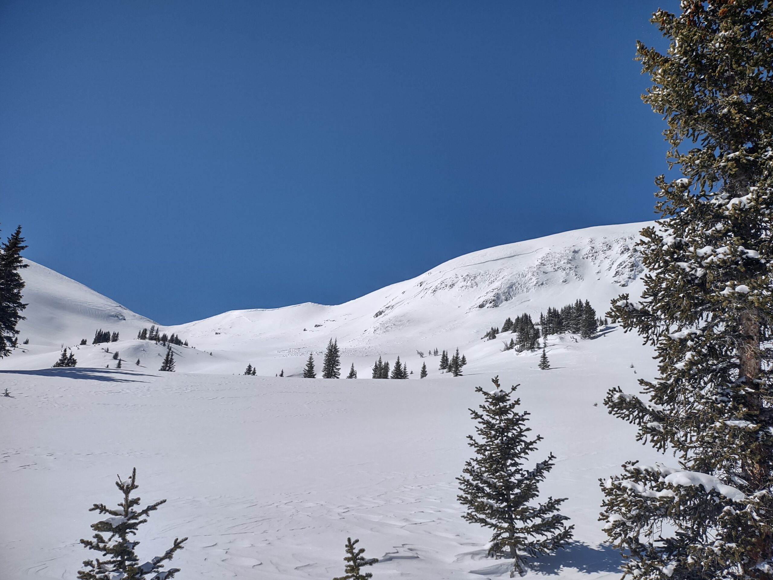
Couple more inches of snow and continued blowing snow

CBACCBAC Observations

Date of Observation: 02/20/2023
Name: Evan Ross

Zone: Southeast Mountains
Route Description: Mt Emmons E-S-SW. 9,400-11,900ft.

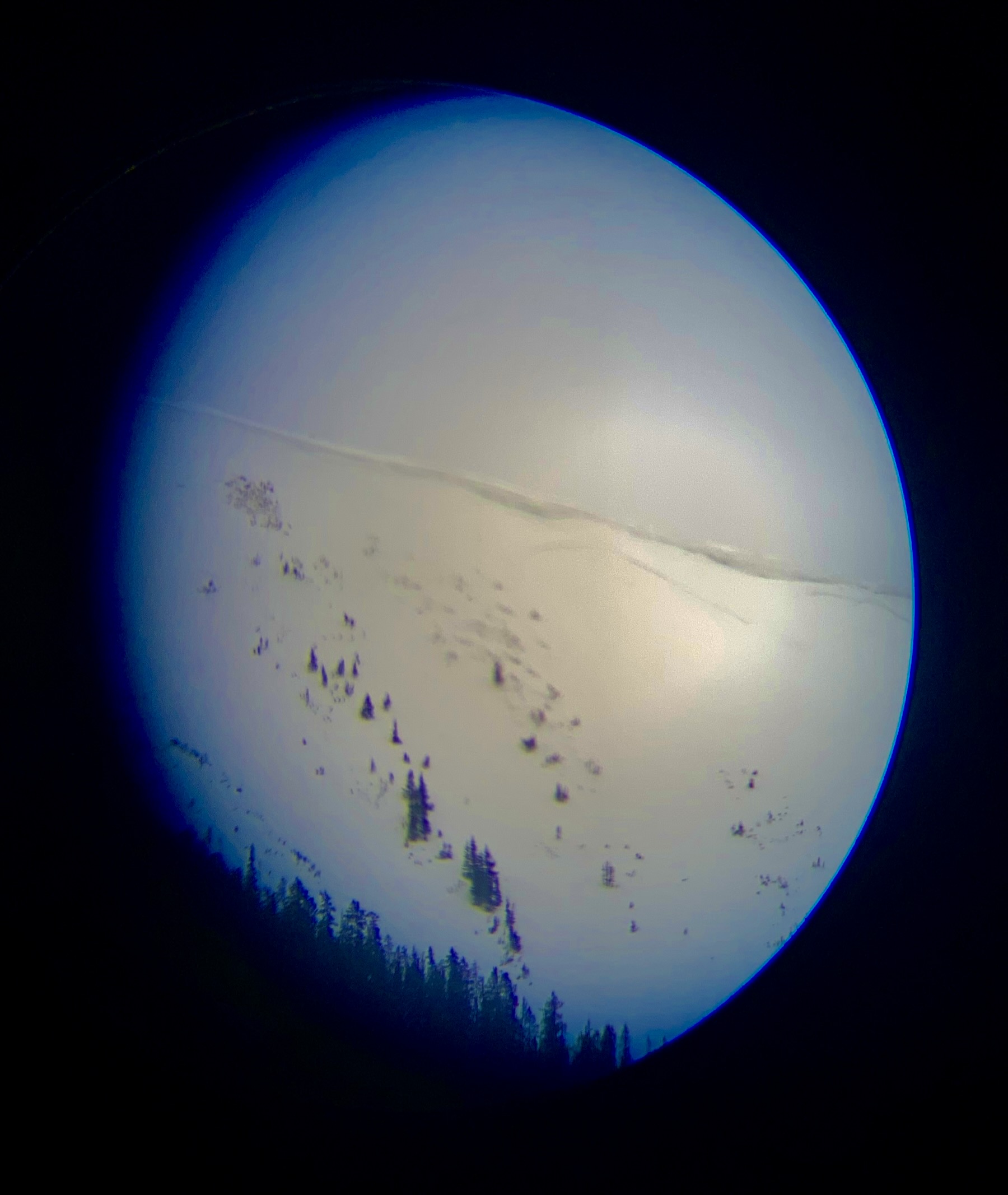
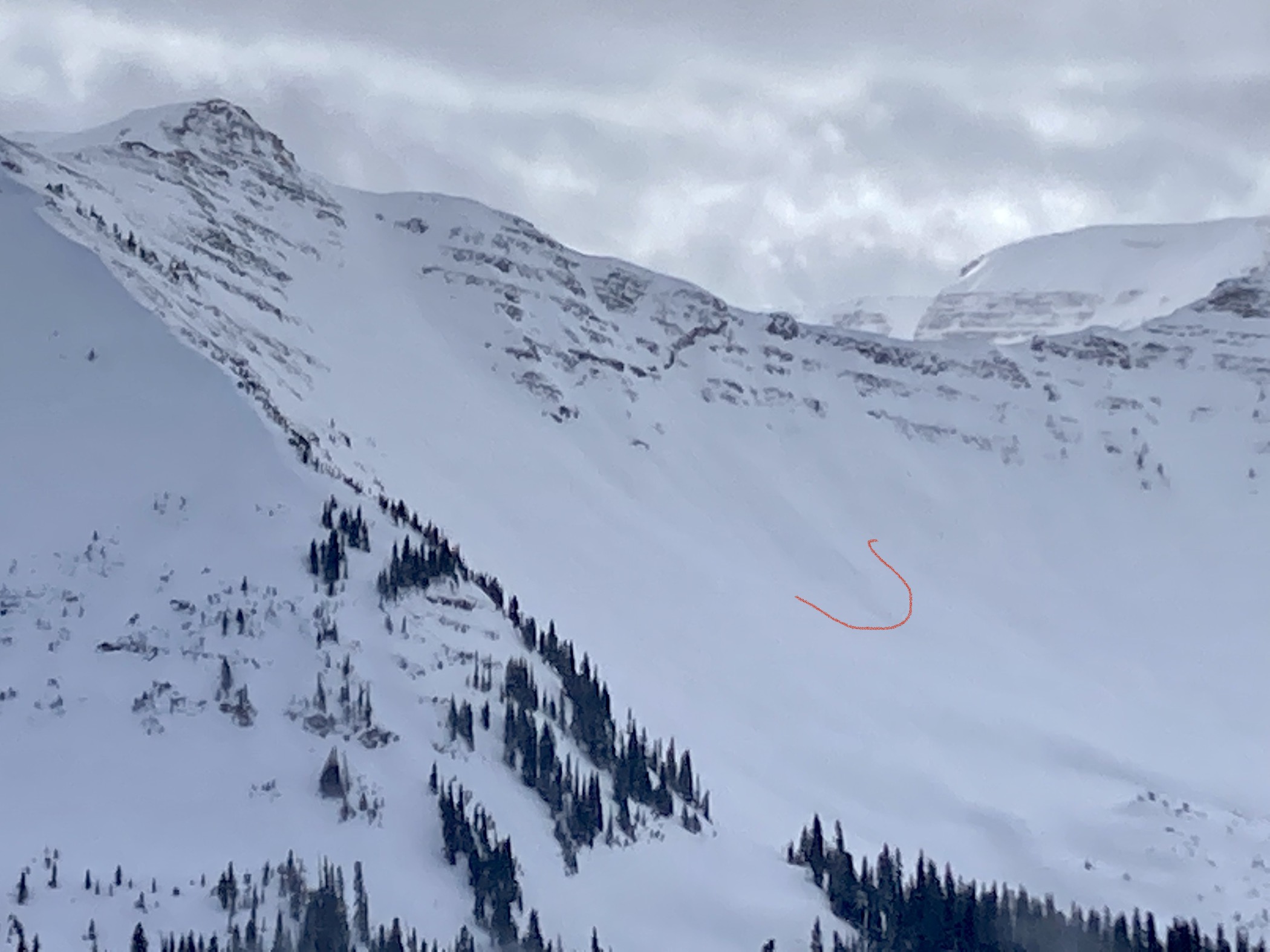
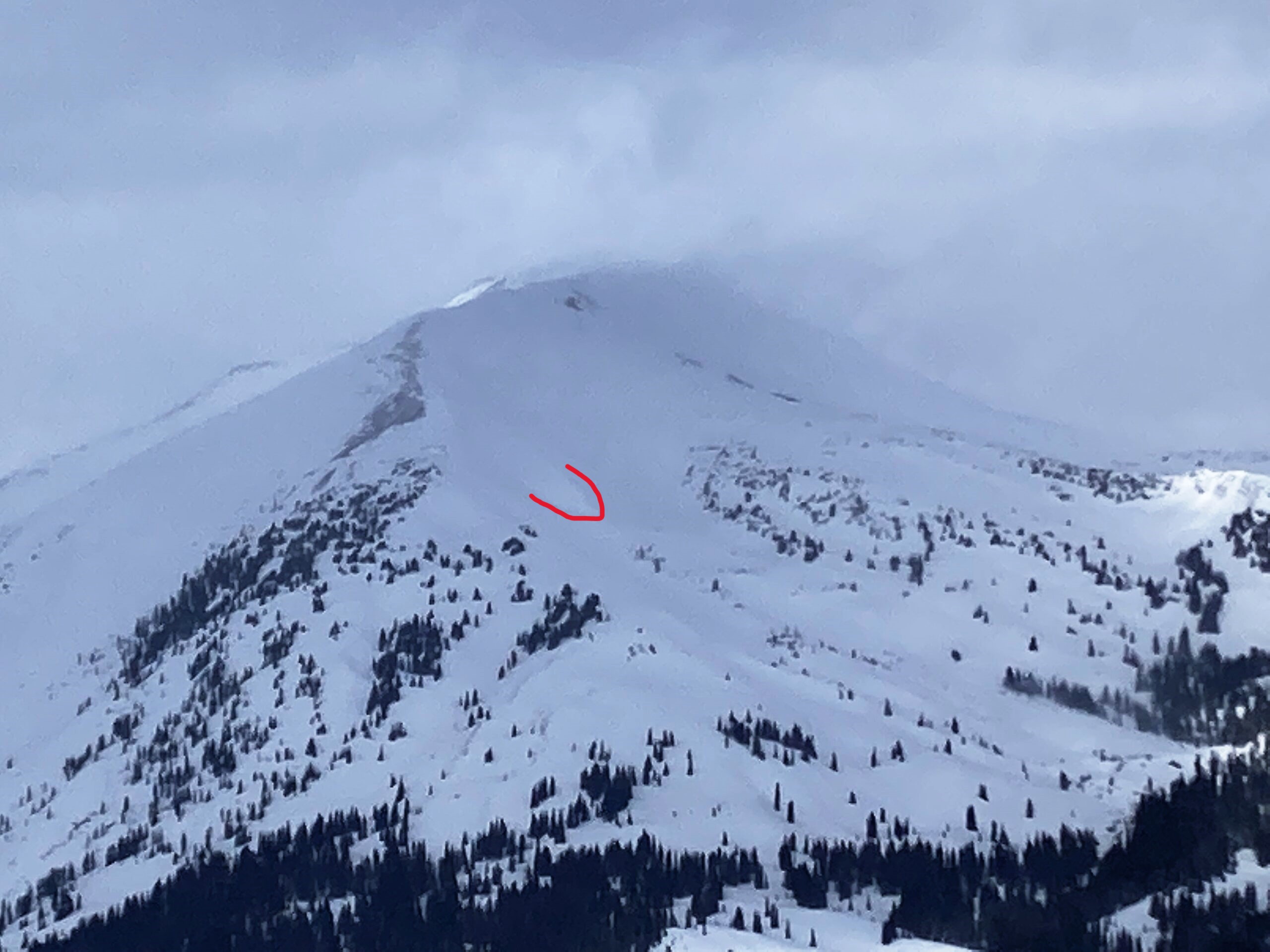
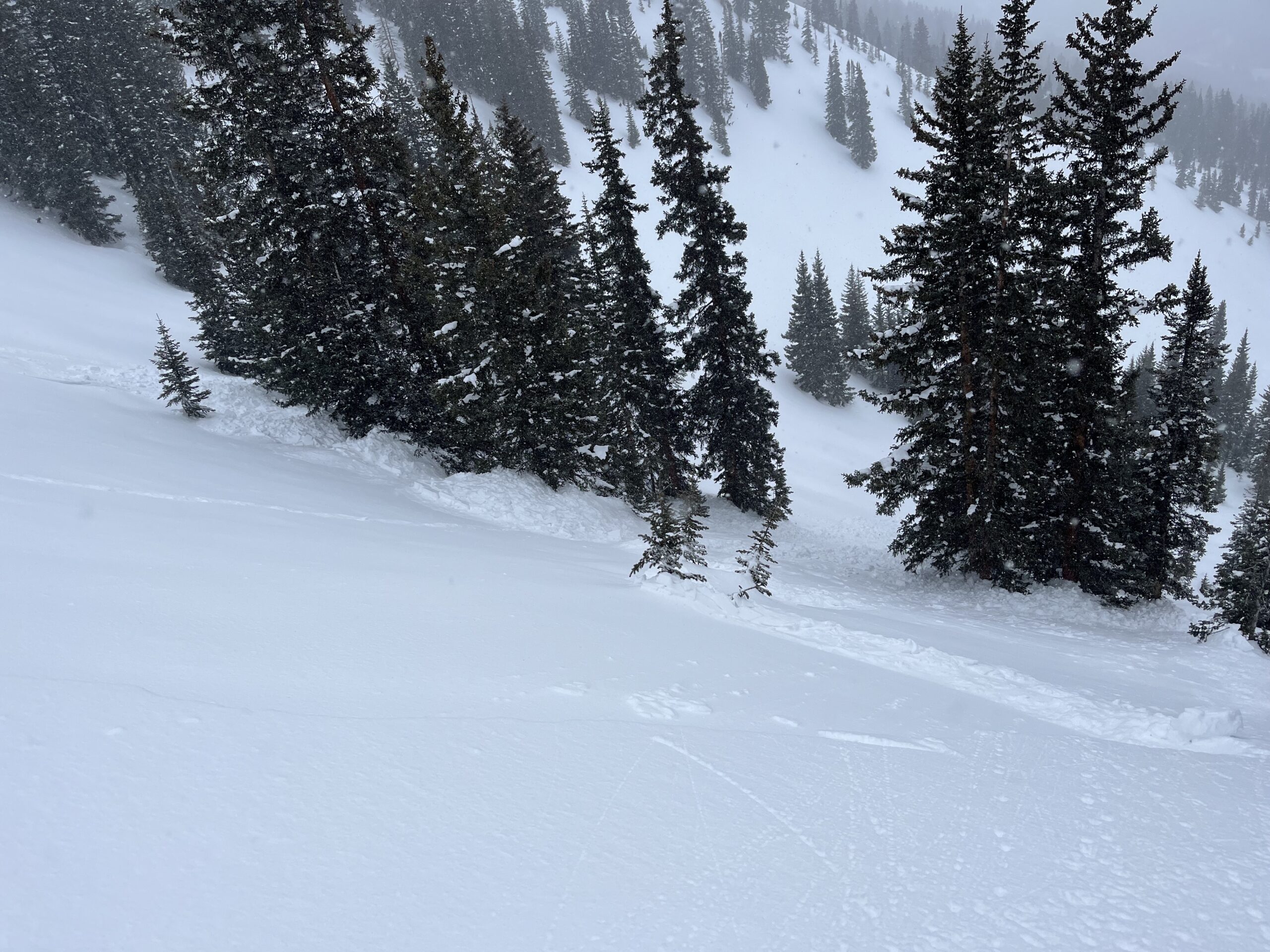
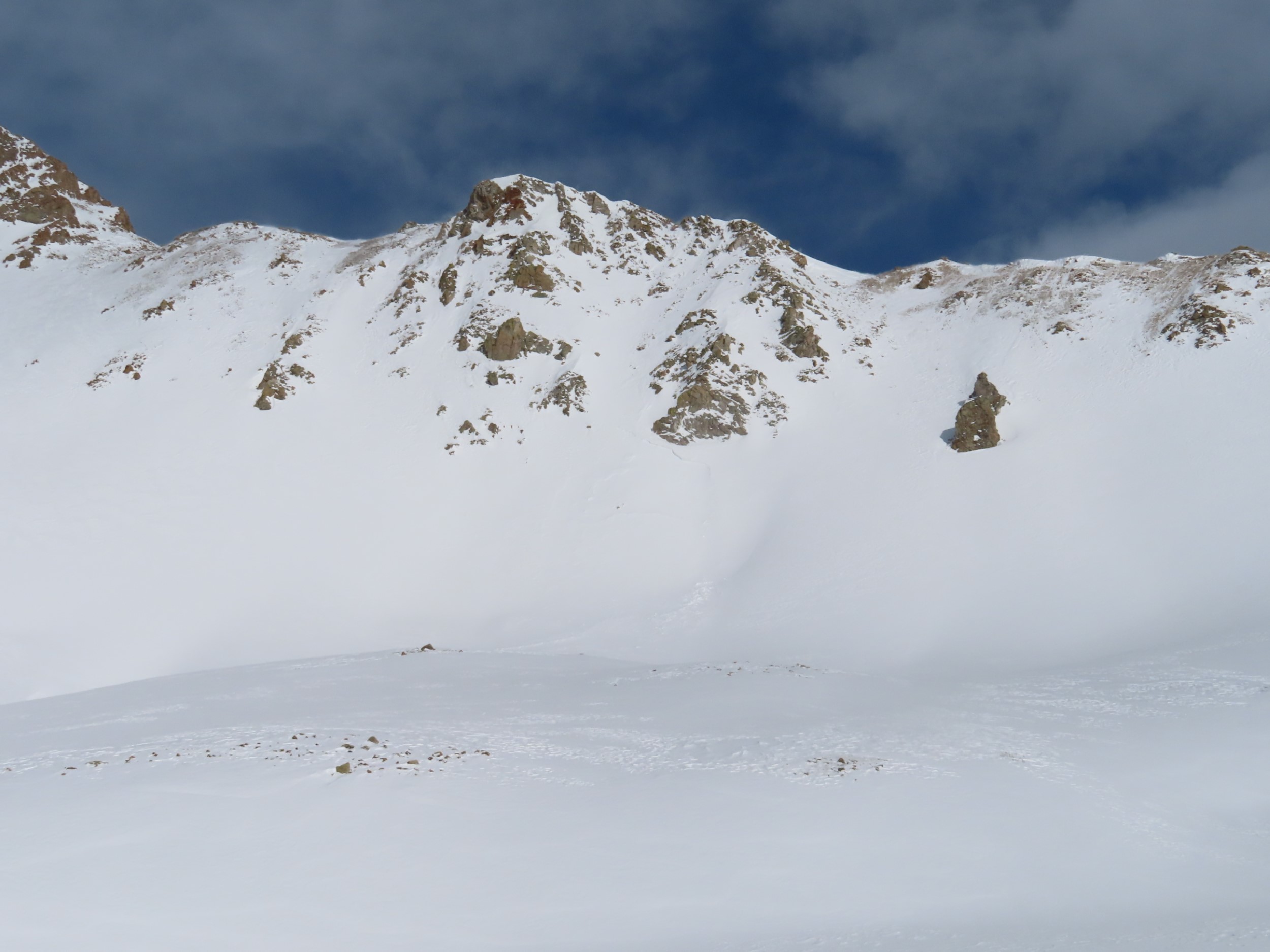
Avalanches: Recent large avalanche in Red Coon Bowl. Best Guess is that it ran on Sunday or early Monday. East aspect 11,800ft. Estimated 1.5 feet deep and 400 feet wide. Blurry iPhone photo attached.

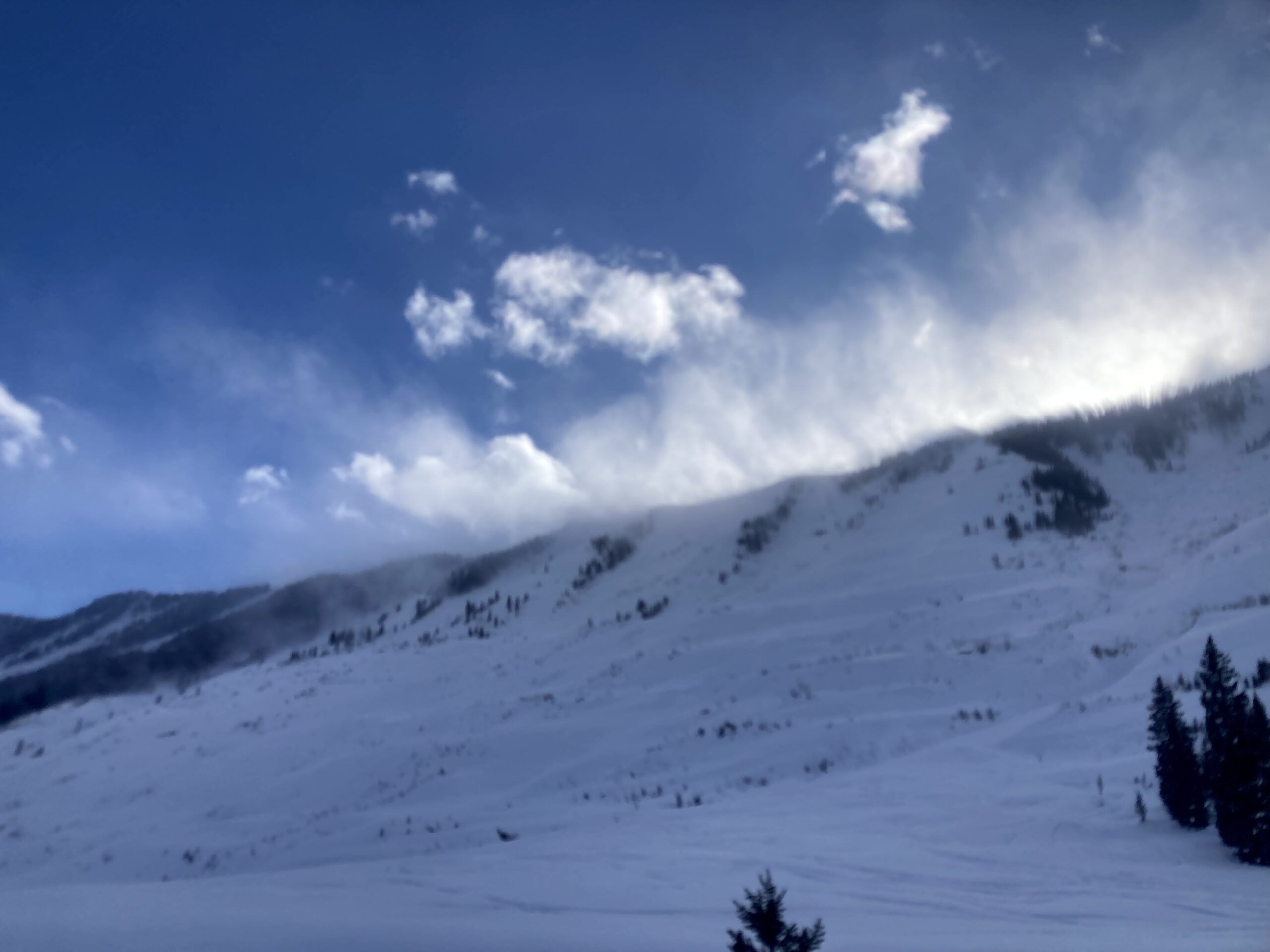
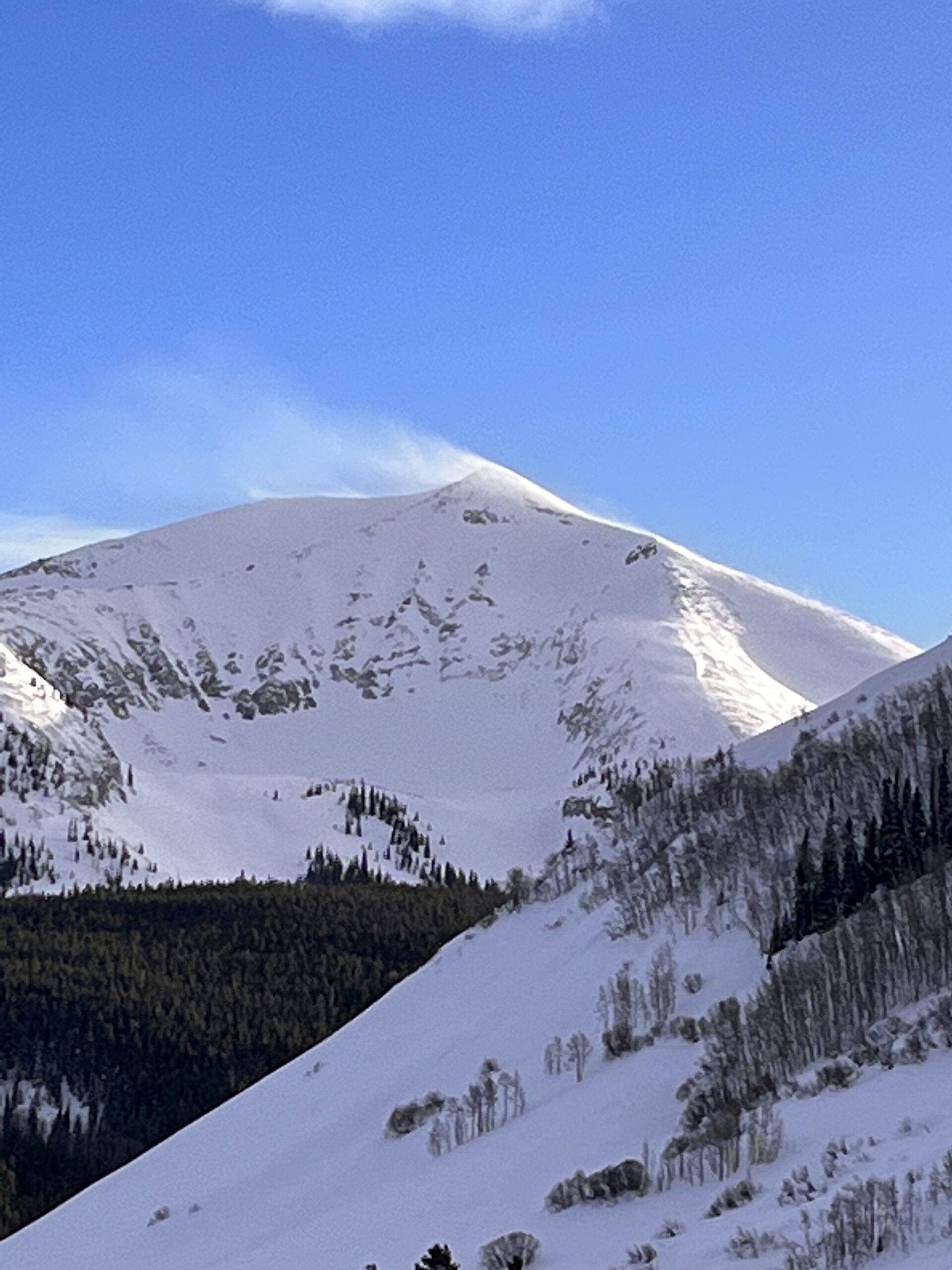
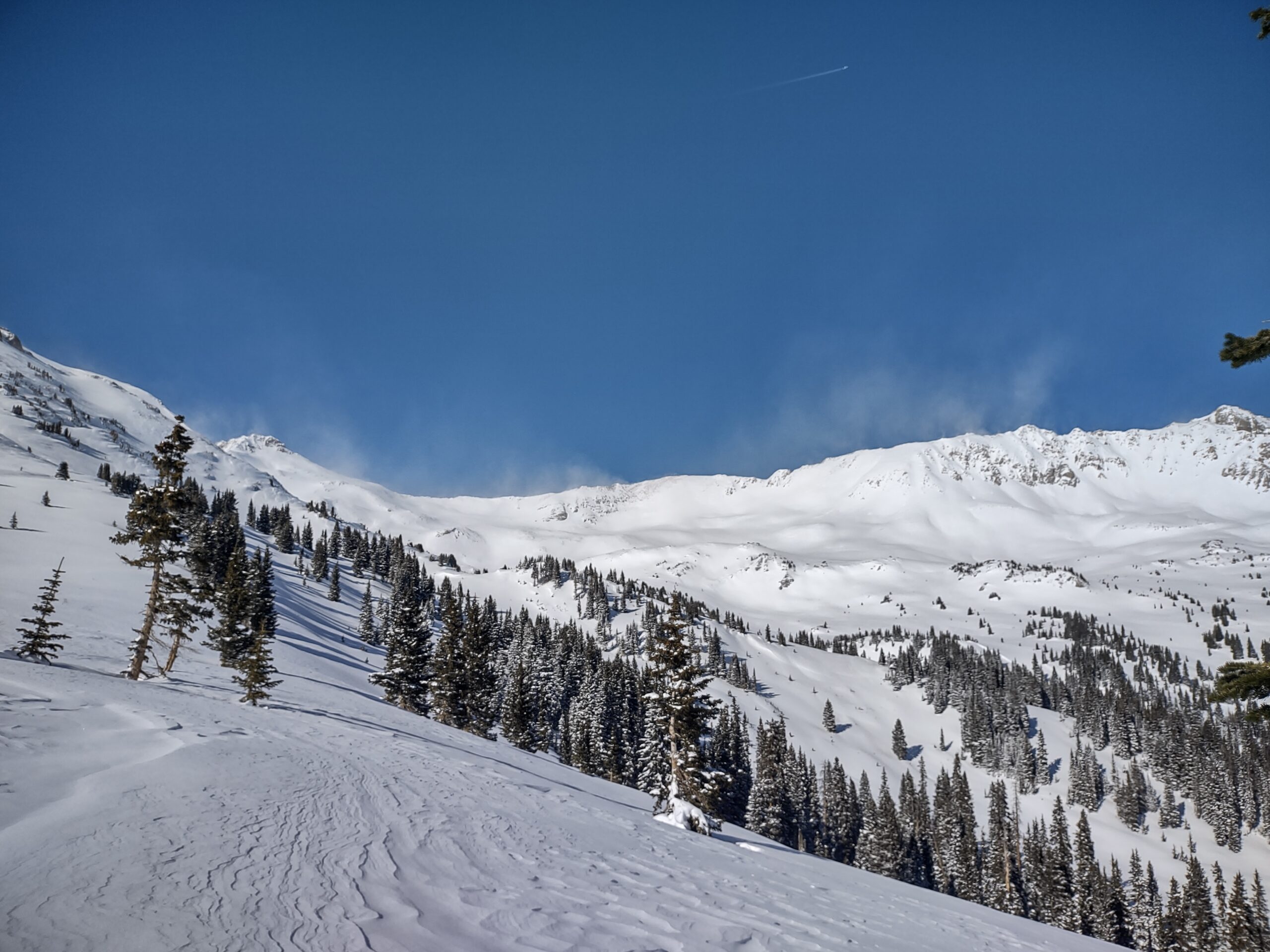
Weather: S1 through the AM hours with 1.5 to 2″ of new snow by noon. NTL elevations had continuous blowing snow with moderate to strong winds during the AM hours. Poor visibility. The weather started to improve in the early afternoon. With better visibility snow plumes could be seen on the higher peaks at times.

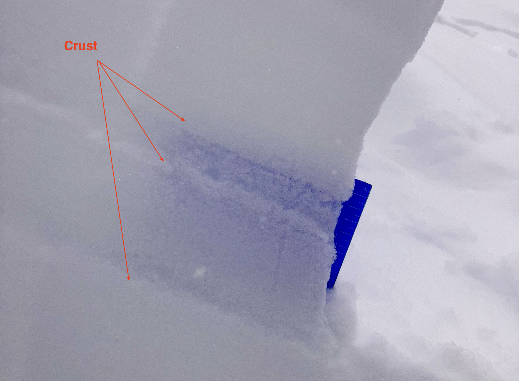
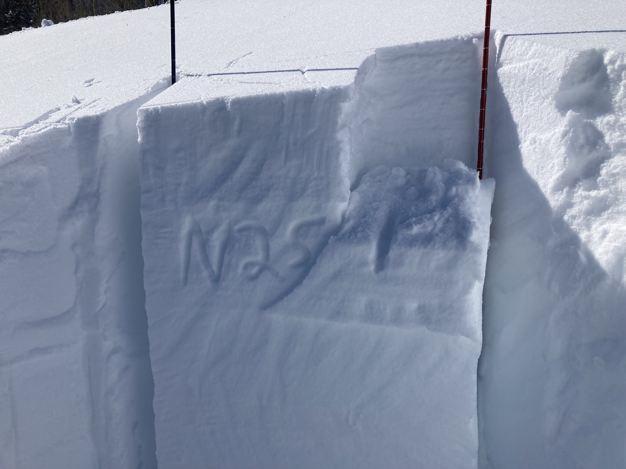
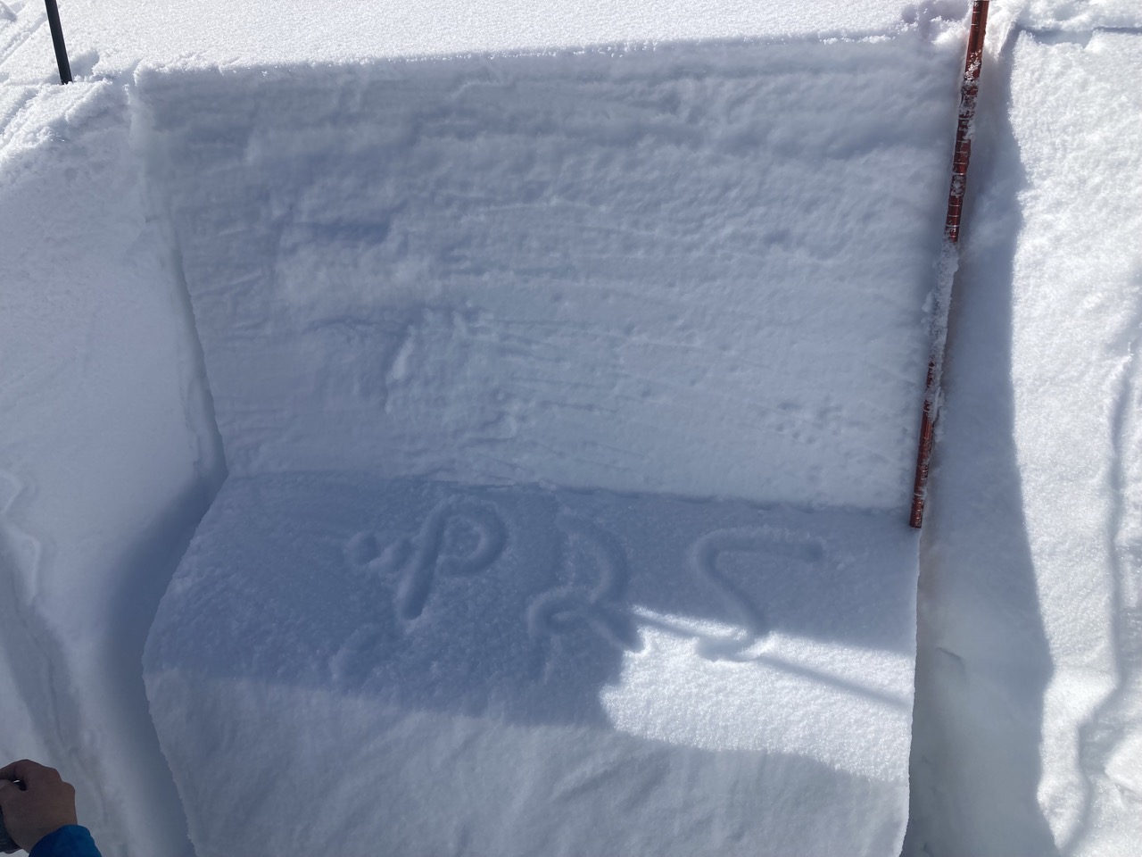
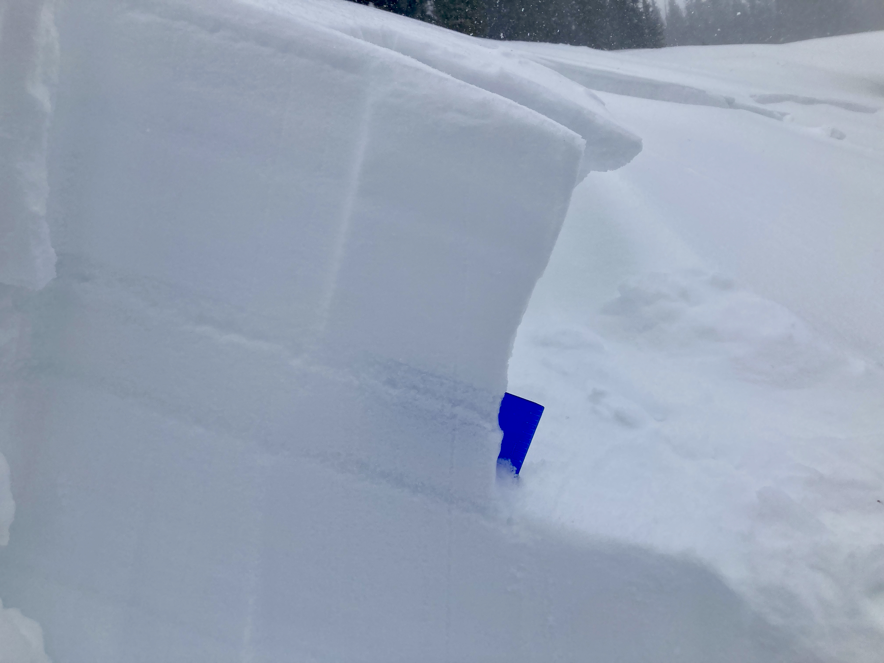
Snowpack: Targeted a few areas for another look before we go into the next storm. Since January, the upper snowpack has become layered and more complicated. There are several layers of crusts and facets that could lead to persistent slab avalanche behavior during the upcoming loading event. In the areas I checked around 11,200ft, E and SE aspects were the most concerning for the future PSa issues in the upper 40cm of the snowpack. I didn’t look at any south aspects. The crusts in the upper 40cm of the snowpack on a SW aspect were 2 to 5cm thick and notably stronger than those same interfaces on the SE aspects.

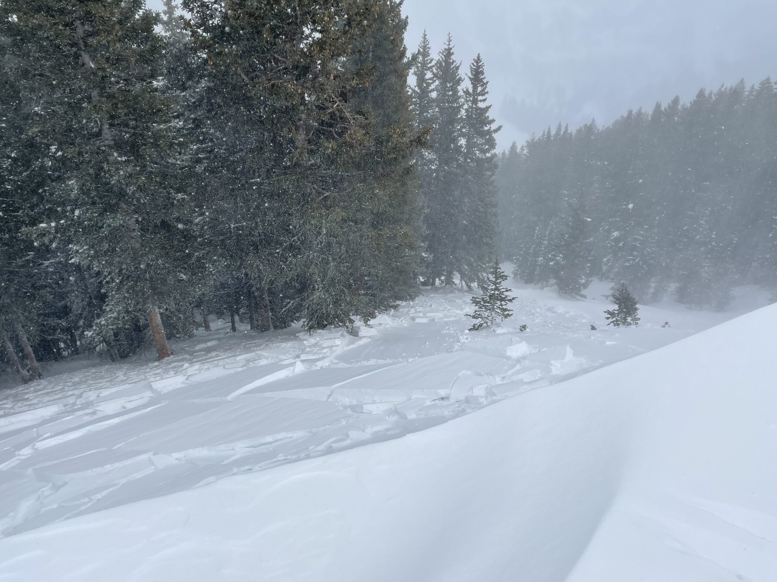
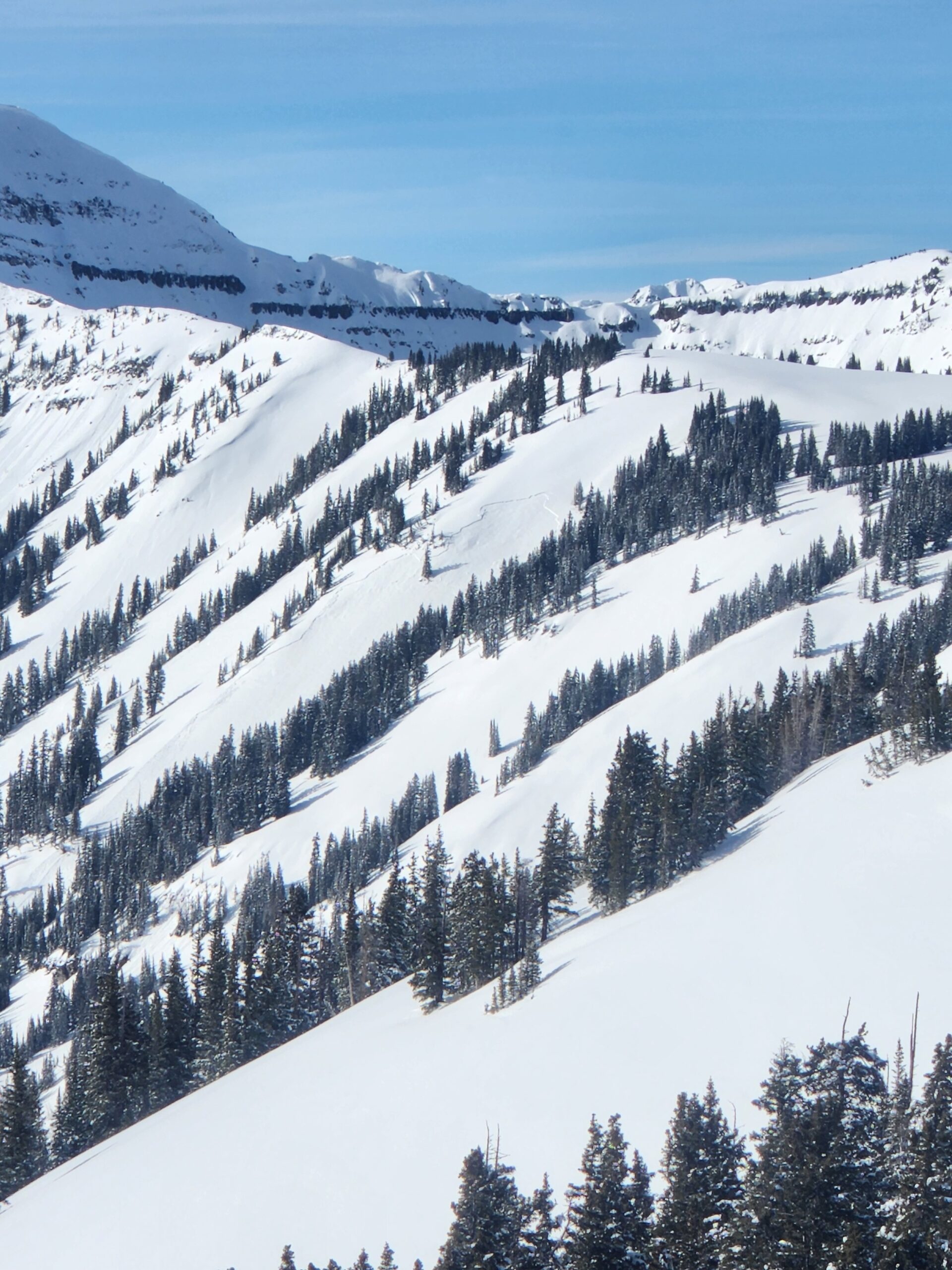
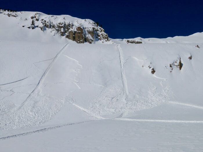
I took another look at the recently triggered avalanche in Red Lady Glades. As previously reported, this avalanche released on a thin layer of facets above a crust. More specifically there was a stack of crusts that likely formed between about February 9th to February 13th. Between these 3 crusts, there are layers of small facets of varying weakness. The avalanche failed in this stack of crusts and ran on the lower of the 3 crusts. Currently, on wind-loaded slopes and during the next loading event, these interfaces look capable of producing persistent slab avalanche activity.

Of other note was the continued blowing snow at NTL elevations through mid-day.

Photos:
6021

Ridgeline wind slab

10webCBAC Observations

Date of Observation: 02/19/2023

Zone: Southeast Mountains
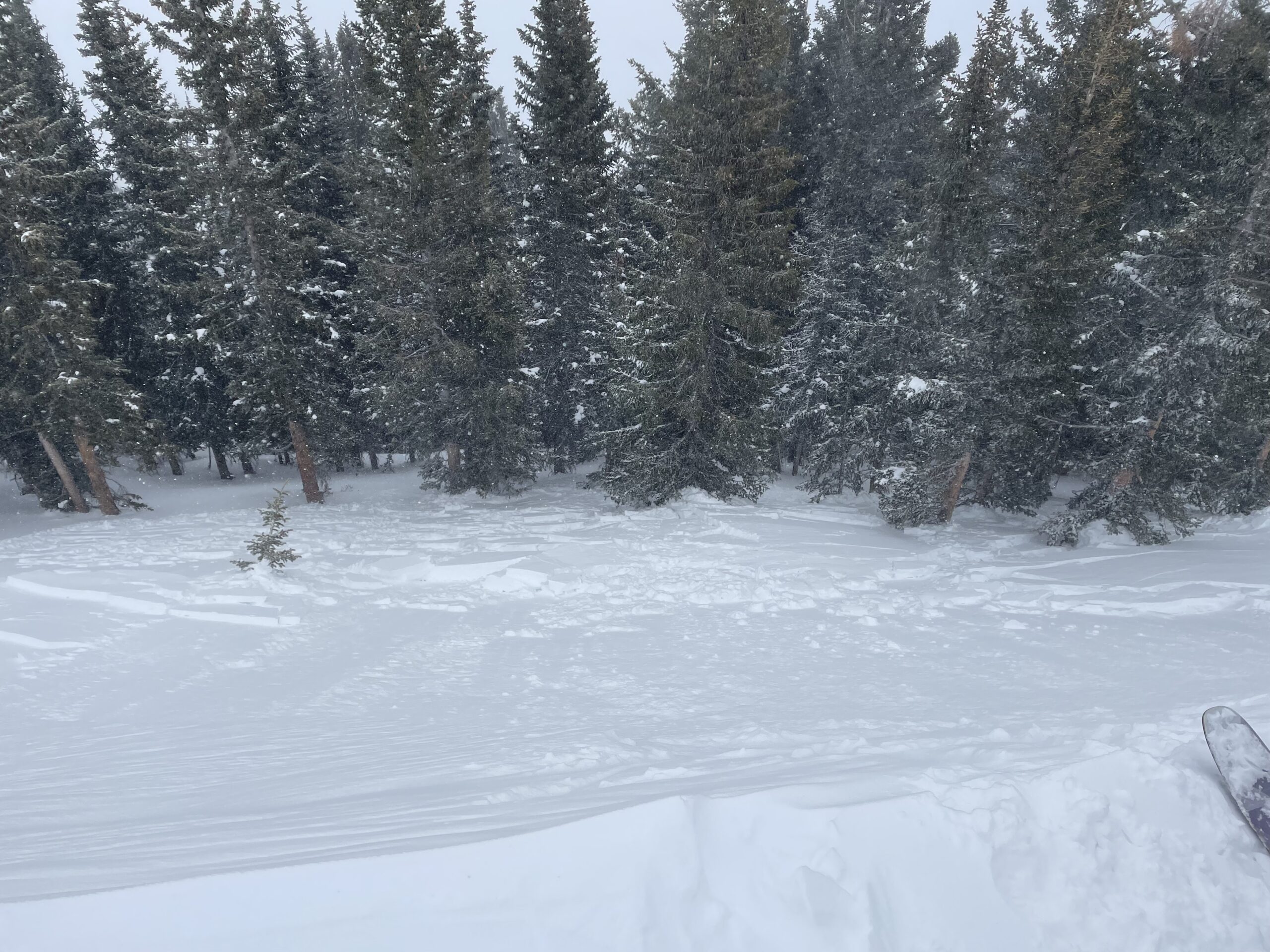
Route Description: Toured through calm thick trees on a northeast aspect up to ridgeline where we encountered strong winds from west. Intentionally triggered wind slab by stomping on suspected wind loaded slope.

Observed avalanche activity: Yes
Avalanches: Wind slab 6-12” thick released above thick trees and wrapped slightly around the corner into main chute.
Weather: Light snow, strong West/Southwest winds at ridge line
Snowpack:

Photos:

6017

Wind blown

10webCBAC Observations

Date of Observation: 02/19/2023
Name: Zach Guy

Zone: Northwest Mountains
Route Description: Schuylkill Ridge to 11,400’

Observed avalanche activity: Yes
Avalanches: A few small wind slabs ran today from wind-loaded alpine terrain features (D1-1.5). I skier triggered a 6” wind slab on a drifted near treeline rollover.
Weather: 2” of new snow fell today. Moderate winds started loading mid-afternoon at higher elevations, then strong winds late afternoon started blowing snow at all elevations. Late afternoon winds were so strong that they appeared to be blowing snow into the atmosphere rather than loading.
Snowpack: Traveled near and below treeline looking for wind slab formation and found a few soft drifts up to 6” that produced cracking. I tested the 2/13 interface on NE and SE aspects and found no failures or concerning-looking structures. We skied steep terrain with only minor sluffing.

Photos:

6015

Little Lady Surprise

10webCBAC Observations

Date of Observation: 02/19/2023
Name: Chris Martin

Zone: Southeast Mountains
Route Description: We traveled up the classic Red Lady skin track out for an adventure seeing where mother nature would allow us. Strong winds slowed us up at tree-line on the corniced ridge. We created many options for our group today, including but not limited to any specific descent.

At tree-line, we traversed over to above Little Lady Bowl preparing for our descent. We arrived at the mouth to regroup before traveling the ridgeline, here, a few members of our group felt a callapse. As we traveled along with bowls ridgeline in sub 20 degree terrain we regrouped and noticed a SE pocket remote triggered. We investigated the slide before descending our favorite red lady glades lap becasue is was our plan D and the safest descent for the day.

Observed avalanche activity: Yes
Avalanches: Little Lady Bowl SE – 38* – 11200′ – D2 – R2

Failed on: 1mm FC above a 2cm crust fragile crust
Down 35cm
Weather: Moderate to strong gusts out of the W
Partly cloudy & OVC
Precip: S-2
Snowpack: Crusts observed at snows surface and below recent storms snow. We observed a 2cm crust below two previous storm/wind transported snow events. The avalanche seemed to step down into two recent events.

Photos:

6014

Strong Winds + Intense Snow Transport NTL + ATL

10webCBAC Observations

Date of Observation: 02/18/2023
Name: jeff banks

Zone: Southeast Mountains
Route Description: Poop Loop looking at Whetstone + Cement Creek

Observed avalanche activity: No
Avalanches:
Weather: Strong NW Winds NTL + ATL
Lenticular clouds over Cement Creek zone
Snowpack: Intense Snow Transport NTL + ATL

Photos:

6011

Closer look at the Carbonate Hill persistent slab

CBACCBAC Observations

Date of Observation: 02/18/2023
Name: Zach Guy

Zone: Southeast Mountains
Route Description: Cement Creek to Hunter Hill to Carbonate Hill, various aspects to 12,700′

Observed avalanche activity: Yes
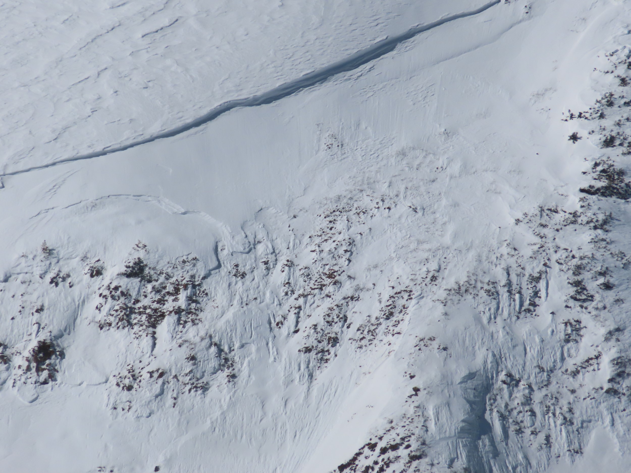
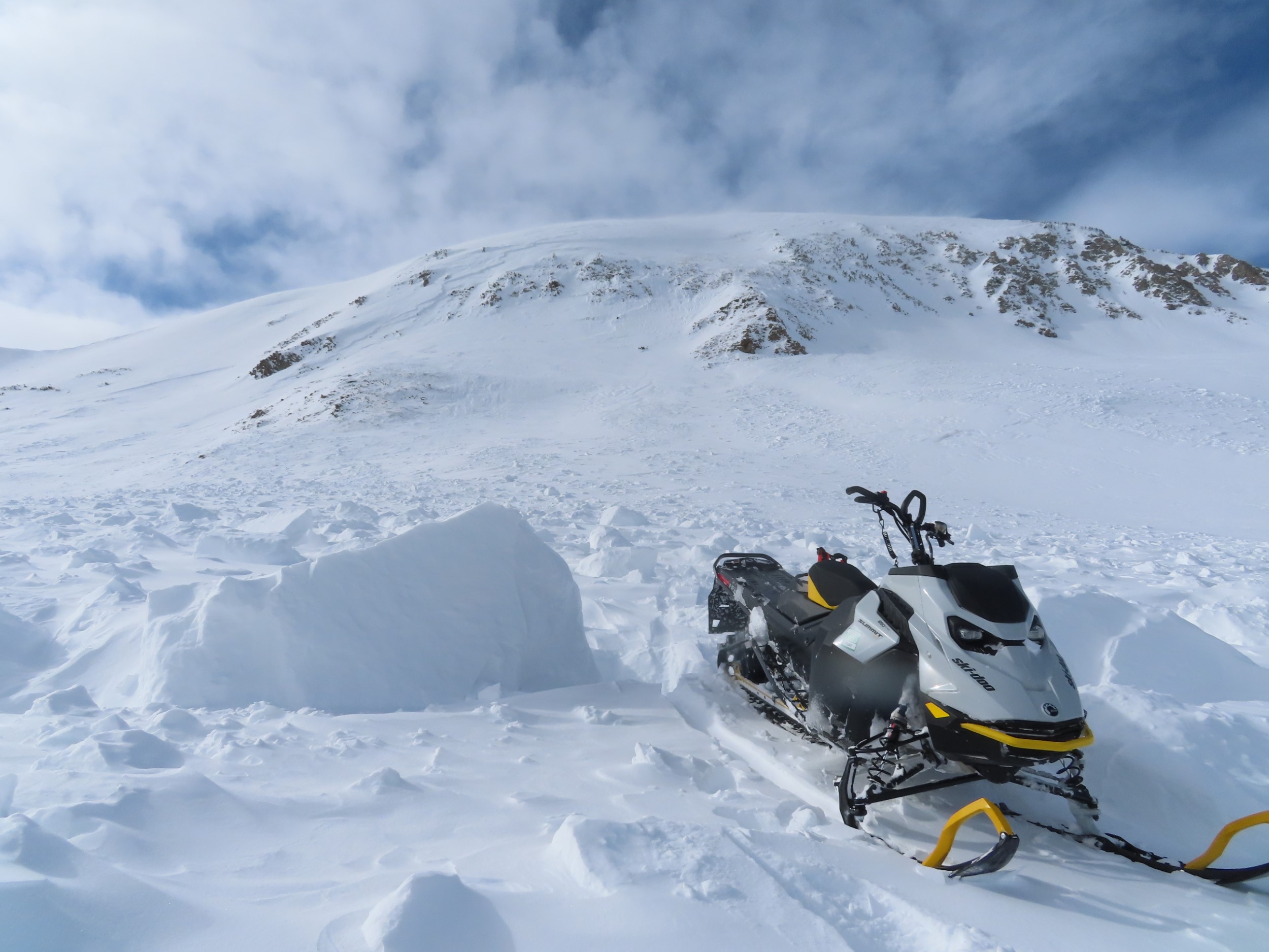
Avalanches: Nothing new today. Got a closer look at the large (D2.5) persistent slab reported by Ben yesterday. I estimate the crown was up to 5 feet thick and pencil hard, based on debris chunks. Hard to say what weak layer it failed on, it looks like the bedsurface is a very hard windboard layer, and there were several layers of the wind board onion that peeled off further downslope.
Weather: Few to scattered clouds. Moderate winds above 12,000′ caused light wind drifting in a few areas.
Snowpack: No signs of instability except I triggered a couple of tiny 1″-2″ wind slabs that were forming from today’s blowing snow. I targeted a shallow area on a SE-facing slope above treeline and got hard, propagating results on depth hoar near the ground below a 90 cm, 1F slab. A couple of tests near and above treeline produced non-propagating failures in the recent wind slabs and no failures on the storm interface. There’s about 3 to 5″ of settled storm snow below treeline that’s been redistributed by northerly winds near and above treeline.

Photos:

6010

Schuylkill Ridge

10webCBAC Observations

Date of Observation: 02/17/2023

Zone: Northwest Mountains
Route Description: Up Schuylkill Ridge via OBJ skintrack.

Observed avalanche activity: Yes
Avalanches: D2 natural farther down the ridge on the SE side. Ran within last 48hrs presumably on sun crust storm interface.
Weather: Sun with thin clouds, no wind.
Snowpack: Did get one planar result from hasty hand shear on similar aspect/elevation as observed natural avalanche at storm snow interface (2/15) on small facets 1cm above sun crust.

Photos:

6008

GMT course obs- Gothic CG to Top of the World

CBACCBAC Observations

Date of Observation: 02/17/2023
Name: Zach Kinler and Eric Murrow

Zone: Northwest Mountains
Route Description: Top of the World down to Gothic CG and back. 9,600′-11,500′.

Observed avalanche activity: Yes
Avalanches: Observed a couple of small wet loose avalanches running from rocky, steep south-facing terrain near Mt. Bellview around 12:00 pm. D1 in size.
Weather: Clear skies and calm winds. Below zero temps at the trailhead in the morning gave way to temps at or just above freezing once out of the inversion in the valley floor.
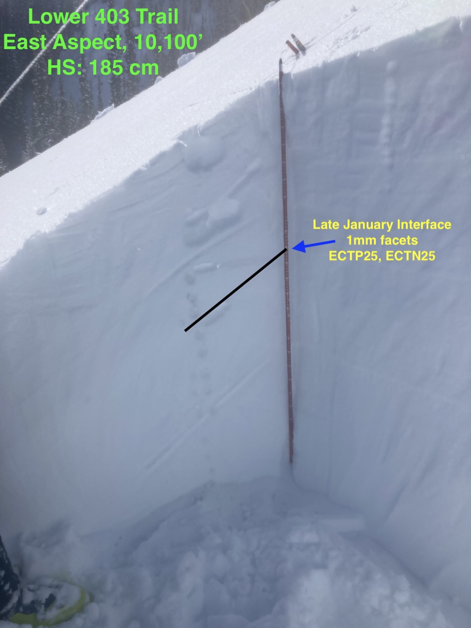
Snowpack: We traveled primarily on slopes facing E-SE-S along the GMT course. No signs of instability were observed underfoot. Open areas near tree line had variable thin wind crusts while sheltered areas were lightly faceted and soft. Snow surfaces on SE and S slopes were moist by midday. HS on an east-facing slope at 10,100 was 185cm. A profile of the upper snowpack on this slope produced 1 hard propagating result and 1 non-propagating result in an ECT on the late January interface. This interface was a thin, 4-finger hard facet layer below a 1-finger slab.


6007

Friends Hut Zone

10webCBAC Observations

Date of Observation: 02/16/2023
Name: Ben Ammon

Zone: Southeast Mountains
Route Description: Pearl Pass down to Friends Hut

Observed avalanche activity: Yes
Avalanches: 1x D1.5 windslab E aspect Star Peak ran during day 2/15 when winds were out of East (no pic, sorry)
1x D2.5 windslab that stepped down in the rocky break over in several spots, SE aspect of Carbonate (pic attached) Failed during the early AM hours of 2/16
1x D1 Glide slab just above East River, below 4th Bowl (one finally went! Pic attached)
Weather: 2/15 moderate winds out of the East all day, low to no vis, high temps below zero on Pearl Pass
2/16 strong NW winds starting shortly after dark on 2/15, tons of scouring and transport leaving every surface NTL/ATL wind affected, as well as any BTL area not in thick trees. Large plumes (see photo of Pearl Pass) and significant transport on all terrain in the zone (Pearl Pass, Star, Crystal, Carbonate, Timbered Hill) High temp of 4*F at Friends Hut
2/17 Subzero but calm (finally!) and warmed significantly during the day.
Snowpack: A variety of small windslabs that failed during the night of 2/15 or day of 2/16, generally SE aspects, the large Carbonate was the only one of note. Many were partially filled in by the time we made it out skiing on 2/16

Photos:

6006