Mountain Weather for 11,000ft. Thursday 1/2

CB Avalanche CenterWeather

Date: 01/02/2020

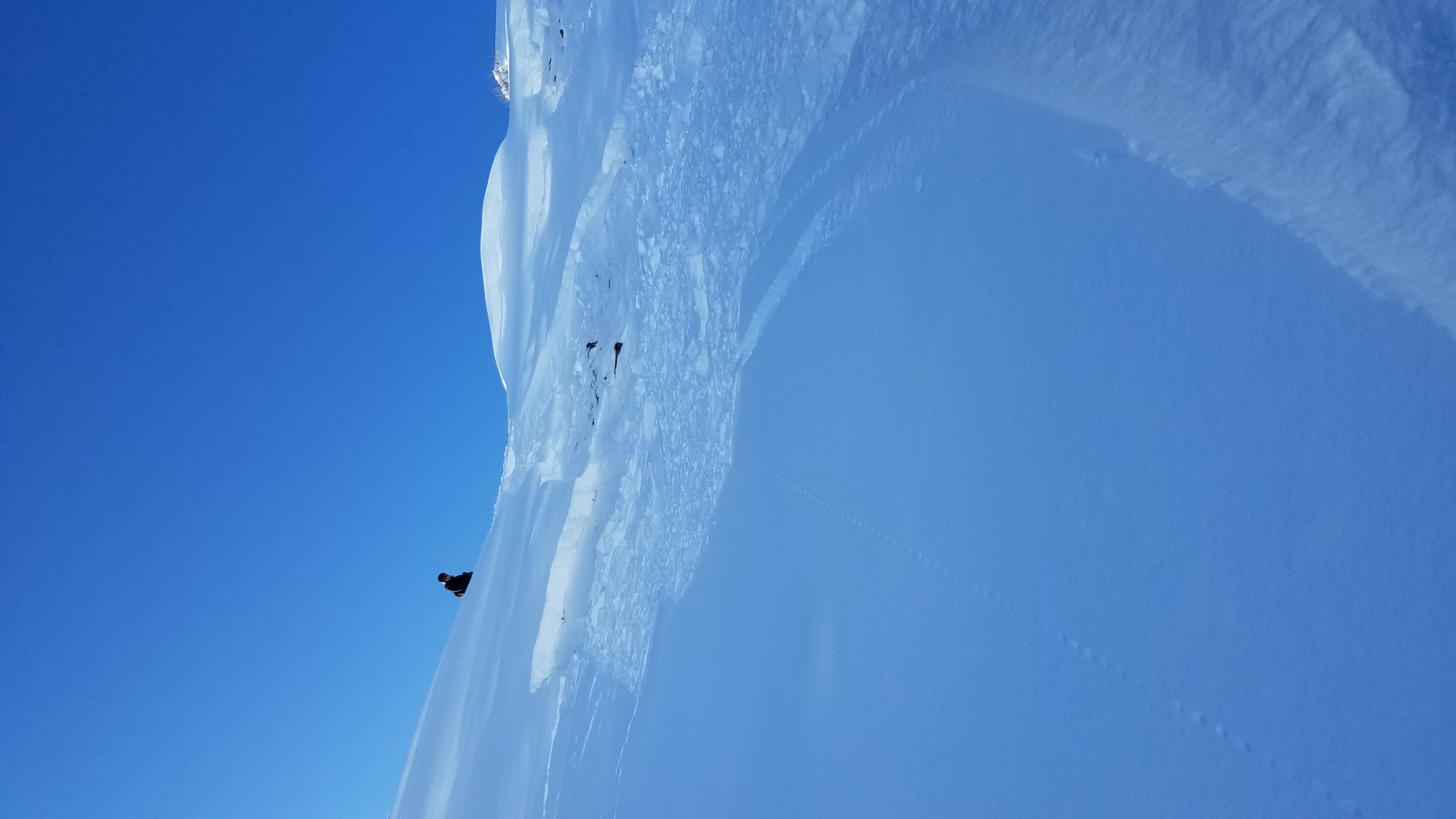
The low-pressure trough is now sitting over Eastern Colorado this morning. That’s putting us in northwest flow. Upper-level moisture starts fading away throughout the day, while low-level moisture hangs in there until Thursday Night. So generally light orographic snow showers are what we have in the snow forecast for today. That snow will primarily be west and north of Crested Butte. A brief ridge of high pressure builds in on Friday and into Saturday. Saturday is looking like a great day to get out under the sun, but we may see some clouds moving in that afternoon and a flake or two of snow if we are lucky. The next chance of a storm comes early next week.

  • Today

    High Temperature: 18 to 22
    Winds/Direction: 10 to 20, NW
    Sky Cover: Mostly Cloudy
    Irwin Snow: 1 to 3
    Elkton Snow: 1 to 3
    Friend’s Hut Snow: 1 to 3

  • Tonight

    Low Temperature: 8 to 12
    Winds/Direction: 10 to 20 G35, NW
    Sky Cover: Mostly Cloudy
    Irwin Snow: 0 to 2
    Elkton Snow: 0 to 2
    Friend’s Hut Snow: 0 to 2

  • Tomorrow

    High Temperature: 18 to 22
    Winds/Direction: 5 to 15, NW
    Sky Cover: Partly Cloudy
    Irwin Snow: 0 to 1
    Elkton Snow: 0 to 1
    Friend’s Hut Snow: 0 to 1

Mountain Weather for 11,000ft. Wednesday 1/1

CB Avalanche CenterWeather

Date: 01/01/2020

The new year is starting off just right with an incoming winter storm. A strong jet stream is pulling Pacific Moisture into the area on northwest flow. We’ll see snowfall get going for our area around mid-day, which is a few hours earlier than forecasted yesterday. As that snow gets going, strong winds aloft will create some blustery conditions at upper elevations. NW to W orographic will initially kick in and favor the Kebler Pass and Paradise Divide areas. Snowfall rates will pick up across the whole forecast area late this afternoon as a cold front also descends over Colorado. Lite snowfall continues for Thursday. Cold temperatures during this whole period should create some great snow, with low water content. Drier weather moves in Thursday night through Saturday.

  • Today

    High Temperature: 22 to 26, WNW
    Winds/Direction: 15 to 25 G35, WNW
    Sky Cover: Mostly Cloudy
    Irwin Snow: 3 to 5
    Elkton Snow: 2 to 4
    Friend’s Hut Snow: 1 to 3

  • Tonight

    Low Temperature: 8 to 12
    Winds/Direction: 10 to 20, W
    Sky Cover: Overcast
    Irwin Snow: 5 to 8
    Elkton Snow: 5 to 8
    Friend’s Hut Snow: 3 to 5

  • Tomorrow

    High Temperature: 16 to 20
    Winds/Direction: 10 to 20, NW
    Sky Cover: Mostly Cloudy
    Irwin Snow: 2 to 4
    Elkton Snow: 2 to 4
    Friend’s Hut Snow: 1 to 3

Snodgrass end of year

CB Avalanche Center2019-20 Observations

Location: Crested Butte Area
Date of Observation: 12/31/2019
Subject: Snodgrass end of year
Aspect: North
Elevation: 11,080

Avalanches: Minor surface sloughing in steeper terrain as we descended

Weather: Clear and cold. No wind percievied.

Snowpack: 11,080 NNE- HS 110cm
Ski Pen 20cm
Boot Pen 60cm
ECTX. Propagated on 31 (Hail Mary) down 80cm on large grained facets
Protected slope in trees still holding supportive mid pack. Skied without issue today, but would not trust the snowpack after a significant loading event.

Schuylkill Ridge

CB Avalanche Center2019-20 Observations

Location: Crested Butte Area
Date of Observation: 12/31/2019
Name: TC
Subject: Schuylkill Ridge
Aspect: North East
Elevation: 11,200

Avalanches: Very small windslab at ridge top triggered when entering skier’s left side of Yogi’s. Evidence of previous natural avalanche activity, presumably during the most recent storm, just a few feet to the north of the triggered slab. 8-10 inch crown and very slow moving debris that only traveled 20 or 30 feet downslope.

Weather: Bluebird skies, no wind. Cold!

[/gravityforms]

Snodgrass Obs

CB Avalanche Center2019-20 Observations

Location: Crested Butte Area
Date of Observation: 12/31/2019
Subject: Snodgrass Obs
Aspect: North East
Elevation: 10,900

Avalanches: Skier Triggered a dry loose avalanche in a steep gully terrain trap on 1st bowl. Ran about 300ft downhill piling a lot of snow on the trees below

[/gravityforms]

Mountain Weather for 11,000ft. Tuesday 12/31

CB Avalanche CenterWeather

Date: 12/31/2019

It’s so cold out there that dogs are sticking to fire hydrants. Be careful out there folks. -20’s down in the valleys, oo fun. The sun will come out, and we’ll have another beautiful day. High clouds will start moving in this afternoon as we get ready for the start of the New Years Storm. We’ll be in NW flow on Wednesday and Thursday as a deep low-pressure trough builds over the western US. The snow looks to ramp up quickly, late on Wednesday afternoon. By Thursday morning we could be looking at 6 to 8” West and North of Crested Butte, and 3 to 5 in Crested Butte. Snowfall looks to continue on Thursday, mostly for the orographically favored areas again west and north of CB. Dry weather arrives to start the weekend.

  • Today

    High Temperature: 18 to 22
    Winds/Direction: 5 to 15, WNW
    Sky Cover: Mostly Clear
    Irwin Snow: 0
    Elkton Snow: 0
    Friend’s Hut Snow: 0

  • Tonight

    Low Temperature: 1 to 5
    Winds/Direction: 5 to 15, NW
    Sky Cover: Partly Cloudy
    Irwin Snow: 0
    Elkton Snow: 0
    Friend’s Hut Snow: 0

  • Tomorrow

    High Temperature: 22 to 26
    Winds/Direction: 10 to 20, WNW
    Sky Cover:
    Irwin Snow: 2 to 4 PM
    Elkton Snow: 2 to 4PM
    Friend’s Hut Snow: 1 to 2PM

Couple Of Small Skier Triggered Wind Slabs

CB Avalanche Center2019-20 Observations

Location: Crested Butte Area, Mt Emmons
Date of Observation: 12/30/2019
Name: Evan Ross
Subject: Couple Of Small Skier Triggered Wind Slabs
Aspect: North East, East, South East
Elevation: 9,200-12,000

Avalanches: Coupe of small skier triggered Wind Slabs to D1.5 with crown depth 30-40cm. SE aspect, above treeline.
Several skier triggered loose snow avalanches on NE to E to SE at NTL and BTL elevations. All small and moving slow.

Weather: Clear sky, calm wind, cold temps.

Snowpack: Wonderful ski conditions. The specific terrain that we found ourselves managing was previously wind-loaded terrain. This was were you could find the best distribution of Persistent Slab Structure and/or today’s forecasted Wind Slab Problem.

NTL SE facing slopes only had the potential for concern where they were wind-loaded. Otherwise the snowpack is generally weak and mixed with crusts. In this terrain, the 12/26 thin crust may be the first to collapse into the 12/24. Though there are several layers of concern in the snowpack. A decent load and a new slab will need to happen to see the PSa problem expand and become widespread on this aspect. 1.5 SWE, or closer to 1.2 SWE in a quick loading event.

NE NTL/BTL elevations were weak and not concerning for a slab avalanche problem in this terrain. HS was about 90cm. A few skier triggered sluffs, but they were stubborn, slow, and easy to manage.

Couple of small Wind Slab Avalanches on an East to Southeast facing slope above treeline.

Mountain Weather for 11,000ft Monday, December 30th

CB Avalanche CenterWeather

Date: 12/30/2019

Yikes…..-30 in Crested Butte this morning. Temperatures hit the coldest of the year last night ranging from -30 to -single digits. Today will be sunny which should help to make it feel warmer than the nasty air temperatures suggest. Winds look to remain light which unfortunately will not help displace any of the cold air pooling in valley bottoms. If you are able to get out of valley bottoms today, the high temperatures will feel reasonable, but the lowest terrain will struggle to reach much above 0. Be sure to manage your finger, toes, and noses to prevent cold injury.

Now for the good news…a series of disturbances will begin impacting the area on Wednesday afternoon and produce snowfall through Friday. It still a bit early to get too excited but moisture looks ample coupled with a strong jet stream to support good snow production. Time will tell but it looks like 2020 is going to get rolling with a snowy start.

  • Today

    High Temperature: 12 to 16
    Winds/Direction: 3 to 13, NW
    Sky Cover: Mostly Clear
    Irwin Snow: 0
    Elkton Snow: 0
    Friend’s Hut Snow: 0

  • Tonight

    Low Temperature: -3 to -7
    Winds/Direction: 3 to 13, N
    Sky Cover: Clear
    Irwin Snow: 0
    Elkton Snow: 0
    Friend’s Hut Snow: 0

  • Tomorrow

    High Temperature: 19 to 23
    Winds/Direction: 4 to 14, WNW
    Sky Cover: Clear
    Irwin Snow: 0
    Elkton Snow: 0
    Friend’s Hut Snow: 0

Snow favored area – slab check

CB Avalanche Center2019-20 Observations

Location: Paradise Divide Area
Date of Observation: 12/29/2019
Name: Eric Murrow

Subject: Snow favored area – slab check

Aspect: North East, East, South East

Elevation: 9400′ – 11000′

Avalanches:  Lots of old sluffs that ran several days ago with a few inches of new on top of debris. A handful of windslabs on drifted terrain features E,S,SW. Did not observe any deep or basal weak layer avalanches.

Weather: yup, it was cold! Partly cloudy skies. Light north winds were stacking low cloud cover onto the Ruby Range. Visibility into this terrain was reasonable but often obscured. Observed light transport at upper elevations onto southerly aspects.

Snowpack: Below treeline, in this snow favored area, I was checking on the recent Santa storm to see if it had settled or slabbed up much….it has not. Storm snow since 12/24 was in the 30 to 40cm range throughout Washington Gulch. Immediately beneath the Santa storm is a thin layer of 1mm near surface facets that formed from the dry spell in the middle of December. This layer is obvious in pit walls and produced results in hand sheer and CT’s but because it remains so soft – no propagating test results from profile site. Cold temperatures will likely prevent the Santa storm from becoming cohesive in the short term at sheltered locations; if you could find a location that saw a bit of drifting maybe there could be more cohesion and increased slab avalanche hazard. See photo of profile.

Photos: