Location: Paradise Divide Area
Date of Observation: 01/08/2020
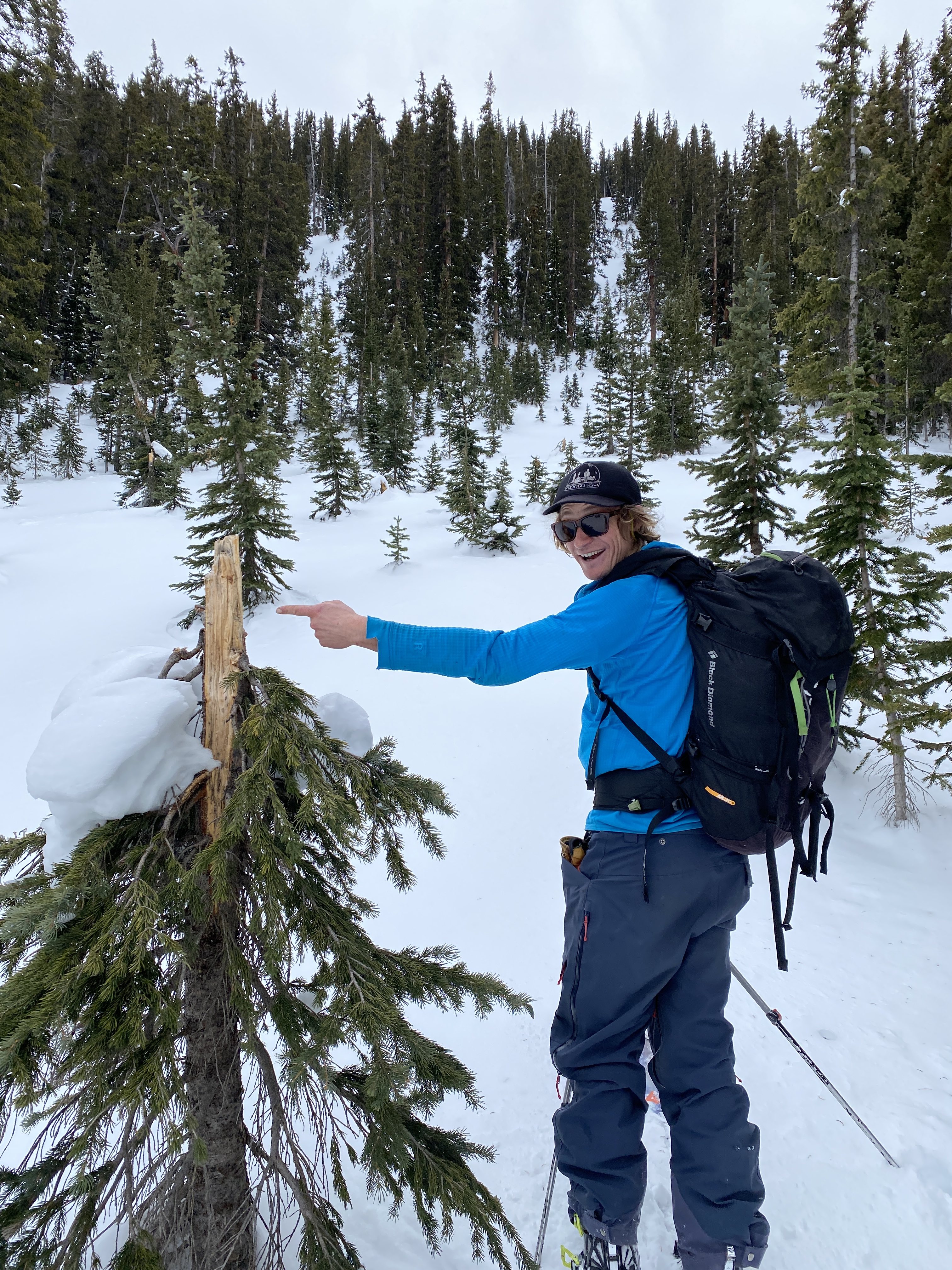
Name: Evan Ross
Subject: Check On West
Aspect: West, North West
Elevation: 10,500ft-11,800ft
Weather: Overcast through most of the day, becoming partly cloudy in the late afternoon. Calm winds increased southwest in the late afternoon with snow plums off the high peaks. A few facets were blowing around in my area but there wasn’t much snow left to transport.
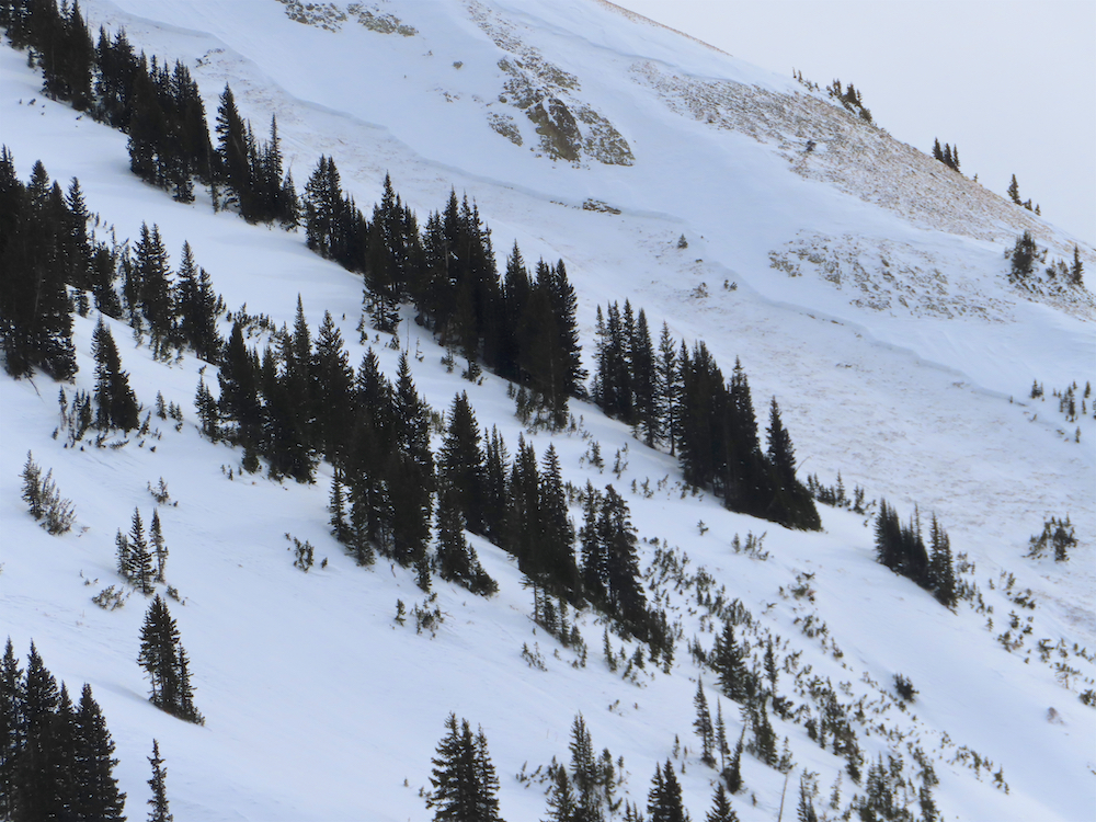
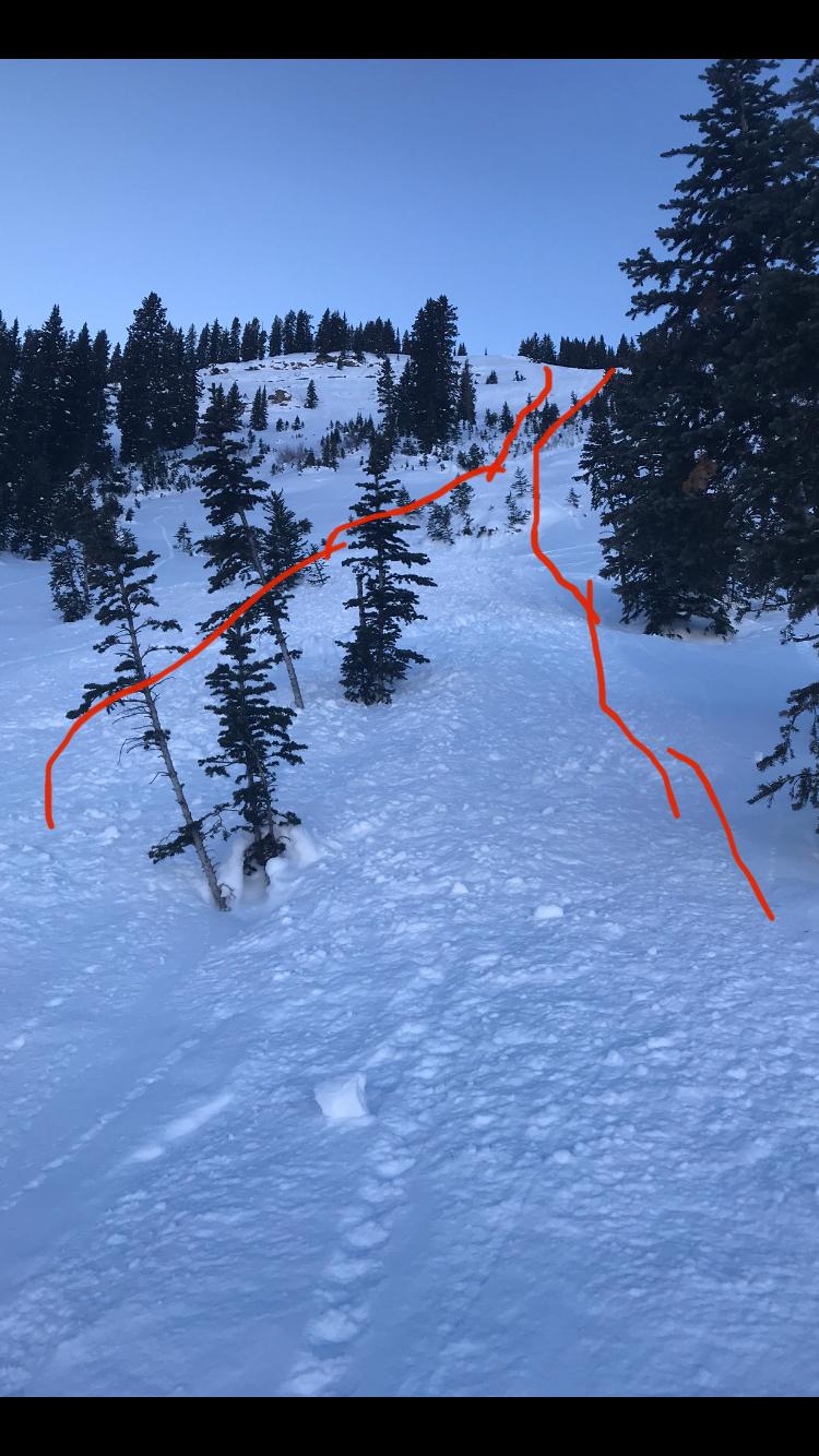
Snowpack: A concerning snowpack definitely exists on westerly slopes, but this setup is more isolated in the terrain when looking big picture and not as pronounced as some other aspects. The goal was to check snowpack structure and get more details about the concerning snowpack structure on west, but I couldn’t find a representable snowpack that was also in a safe location. Gully type terrain features near treeline are where the most concerning slab/weak layer characteristics existed in the terrain. Otherwise, snowpack structure was highly variable from all the past wind events and less concerning.
-
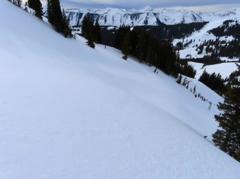
- More consistent slab over weak snow structure can be found on westerly slopes with a gully type terrain feature

-
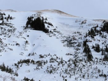
- Avalanche Paths with similar characteristics.