Date: 01/27/2020
Light snowfall has started across the area early this morning. A quick trough will pass over Colorado today and offer a modest refresh to surface conditions. The high end of snowfall accumulations will reach about 5 inches by sunset for areas to the west and northwest of town and lesser amounts near and to the east. As the trough passes overhead, wind speeds will pick up from the northwest and transport the new snow. Snow may linger for areas favored by northwest flow on Monday evening but things will dry up by Tuesday.
On Tuesday a quick-moving ridge will move into the area but is expected to be short-lived before another low-pressure system heads towards Colorado on Wednesday. Wednesday’s trough may dive south of Colorado limiting potential snowfall but a stronger northwest flow will develop behind it offering a continued chance of snowfall for areas to the west and northwest of Crested Butte that have favorable orographics. This week doesn’t look impressive but continued light snowfall should keep riding conditions nice.
-
Today
High Temperature: 24 to 28
Winds/Direction: 8 to 18, WNW
Sky Cover: Mostly Cloudy
Irwin Snow: 3 to 5
Elkton Snow: 3 to 5
Friend’s Hut Snow: 2 to 4 -
Tonight
Low Temperature: 2 to 6
Winds/Direction: 13 to 23, NW
Sky Cover: Partly Cloudy
Irwin Snow: 0 to 1
Elkton Snow: 0 to 1
Friend’s Hut Snow: 0 to 1 -
Tomorrow
High Temperature: 23 to 27
Winds/Direction: 4 to 14, WNW
Sky Cover: Mostly Clear
Irwin Snow: 0
Elkton Snow: 0
Friend’s Hut Snow: 0


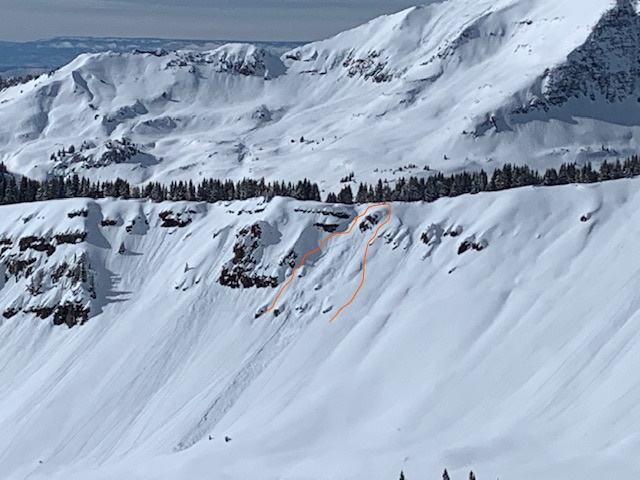

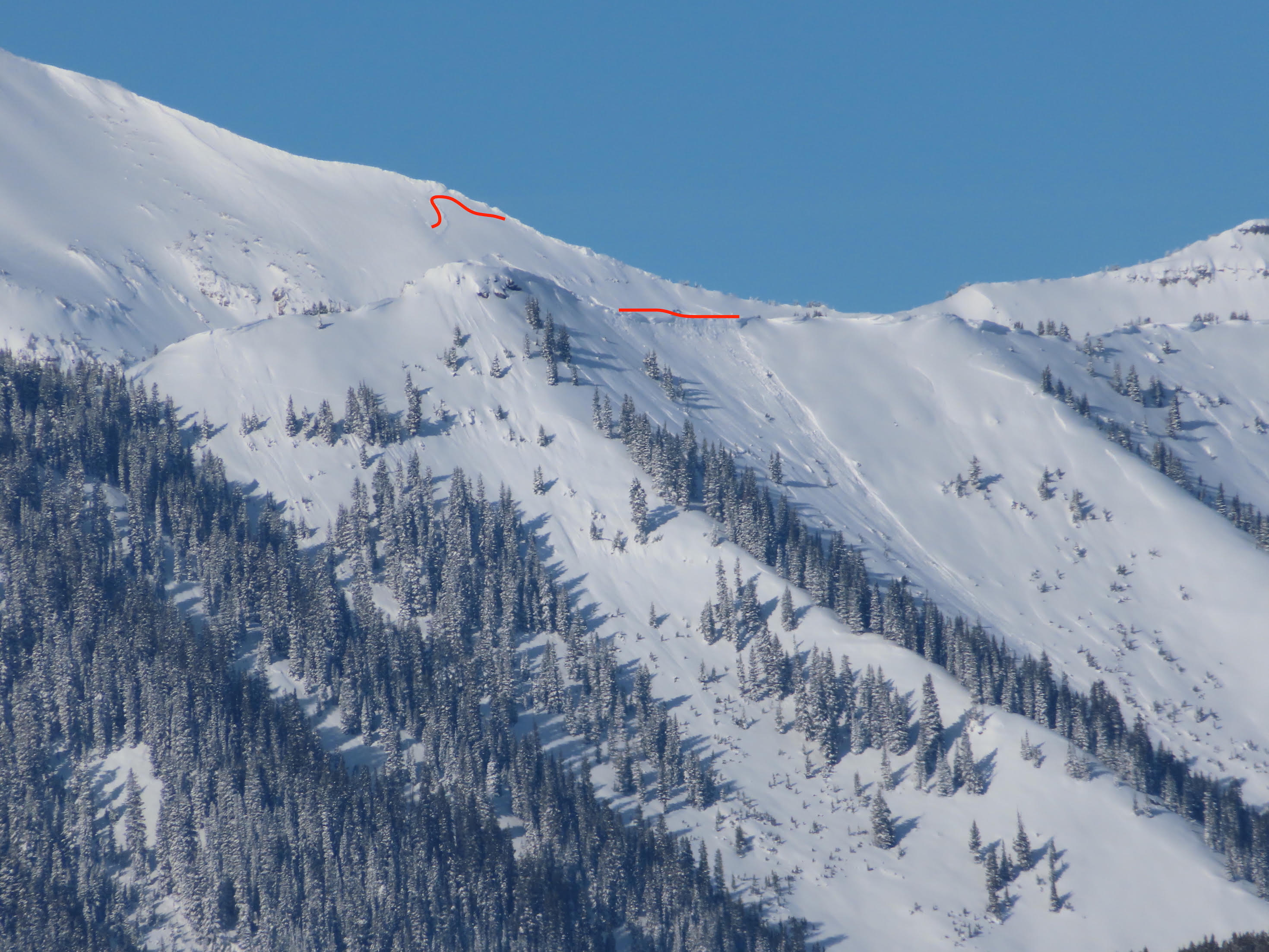
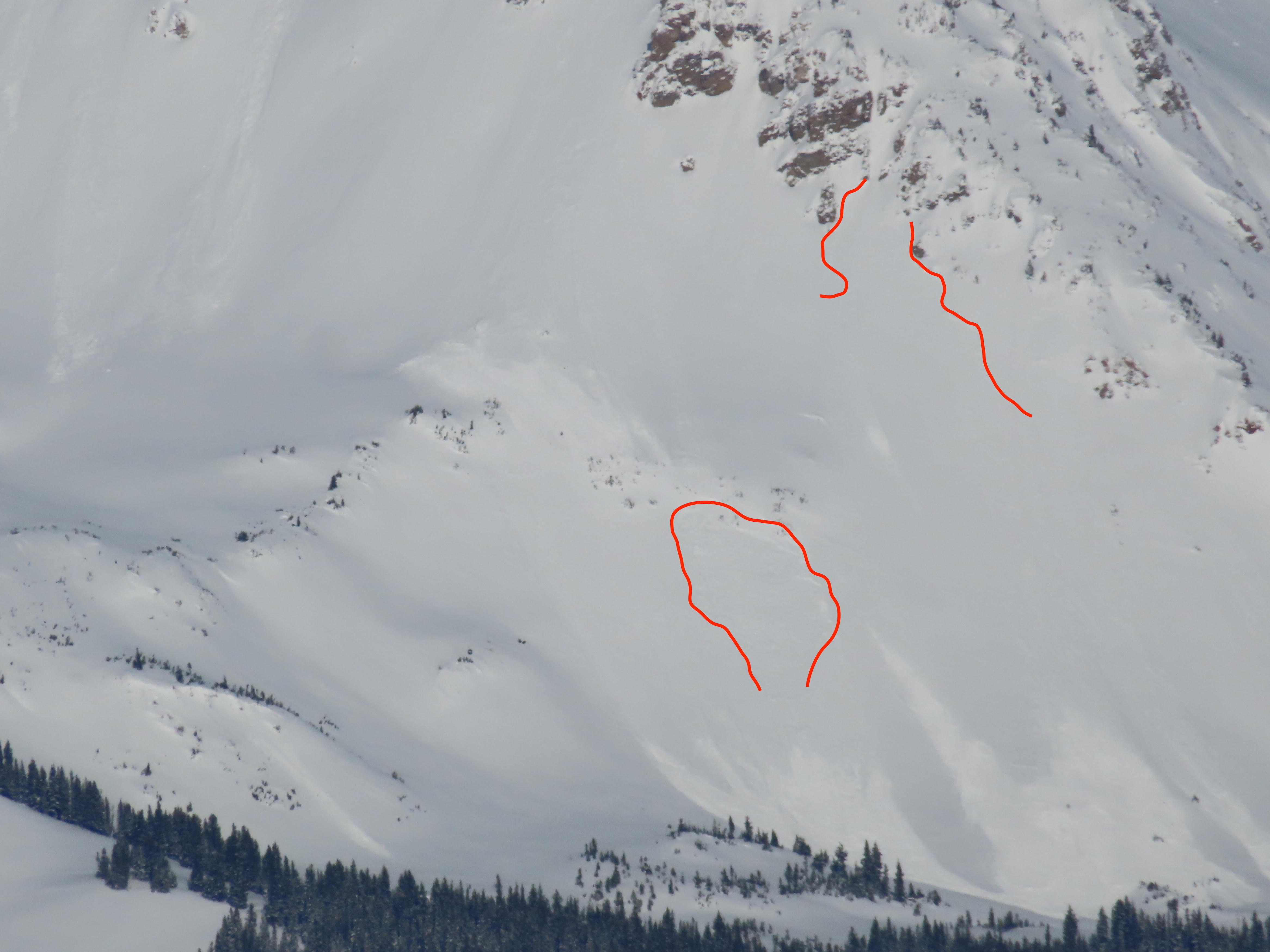
 Mount Axtell
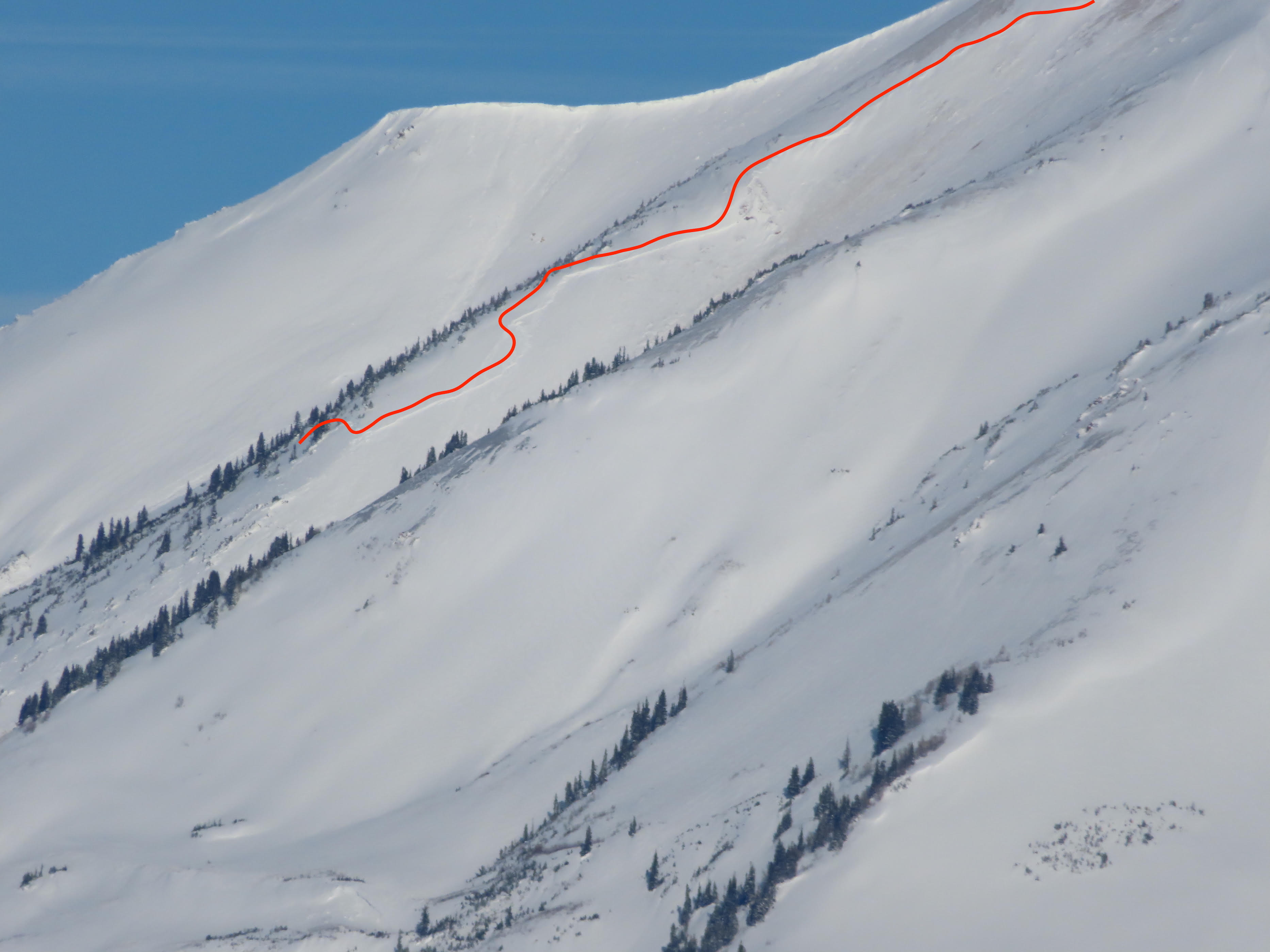
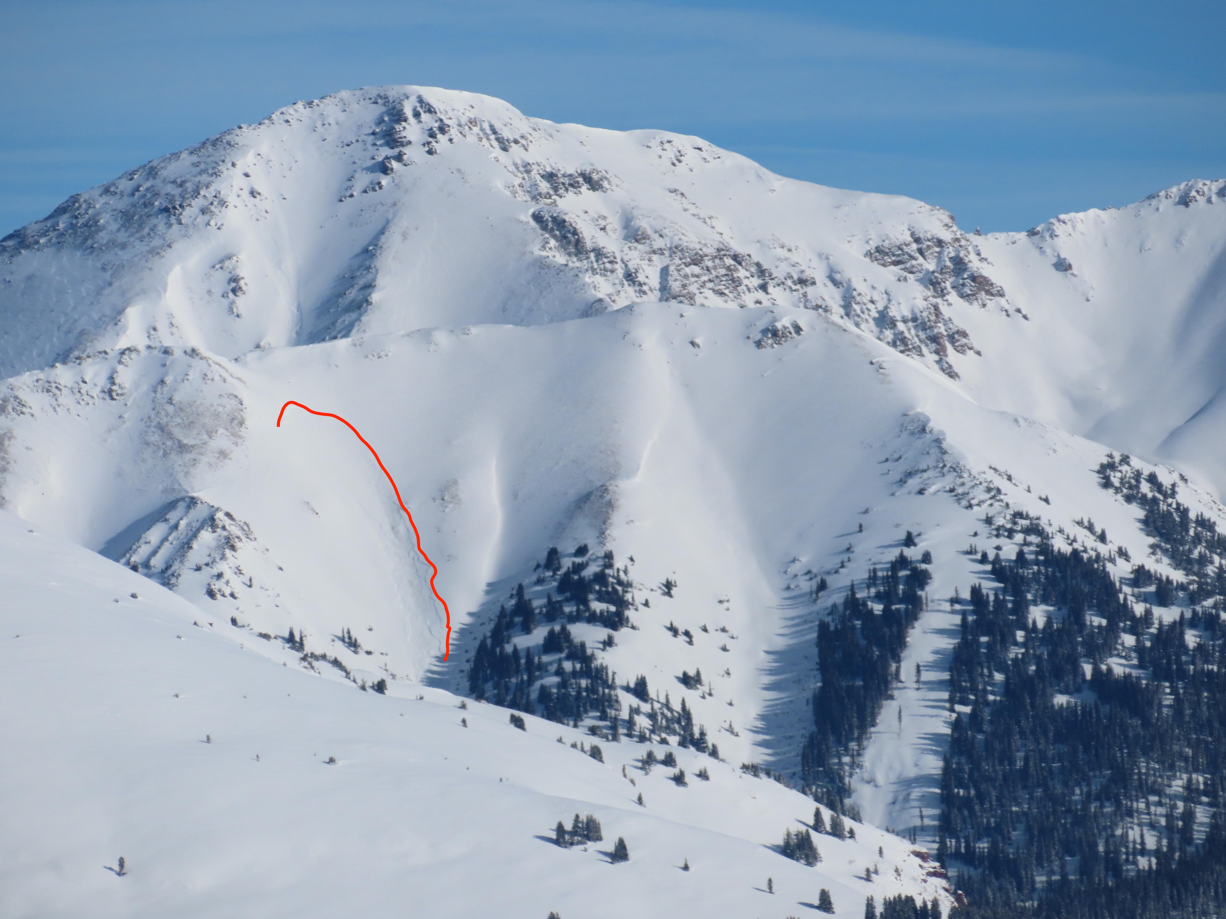
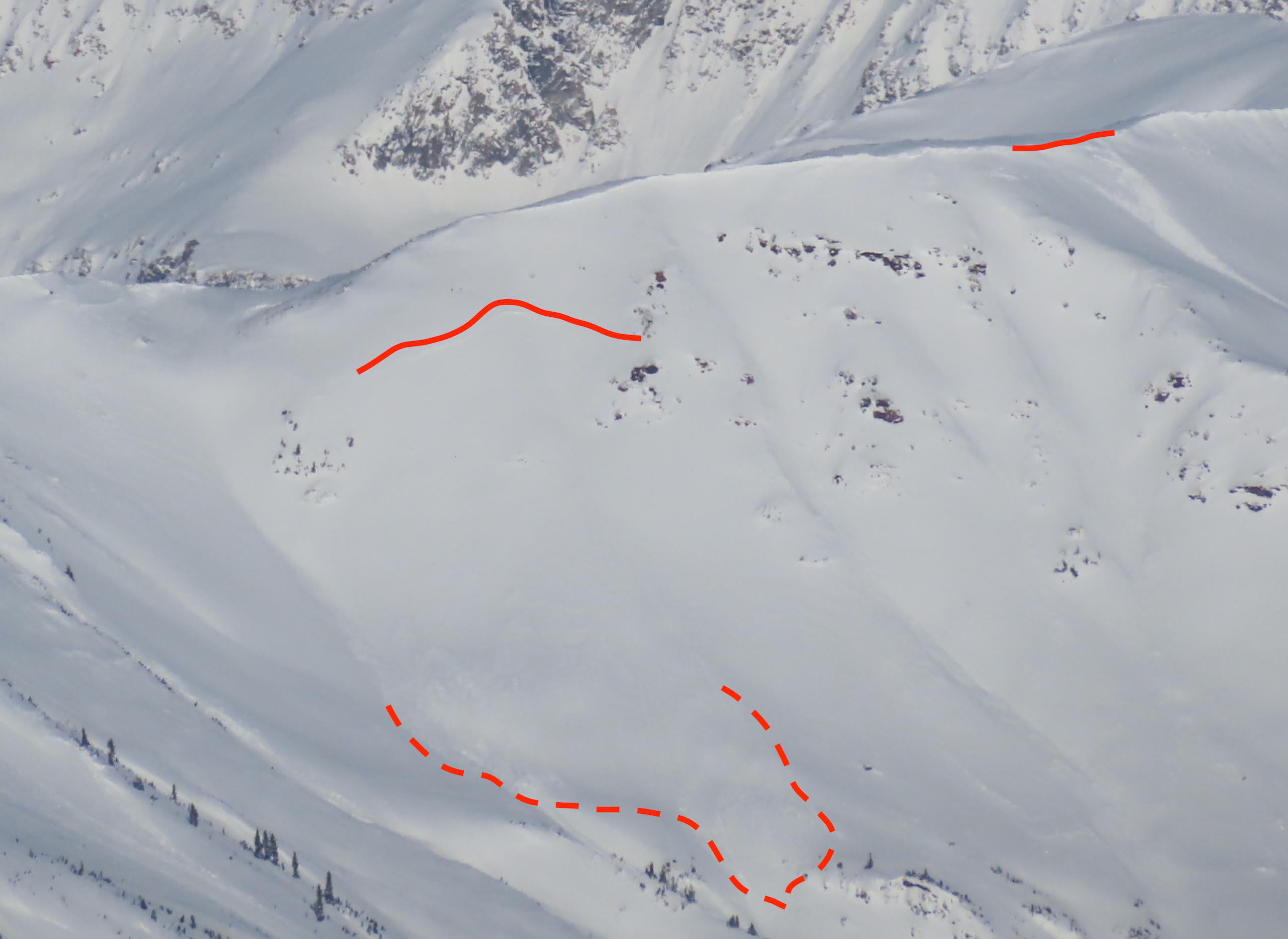
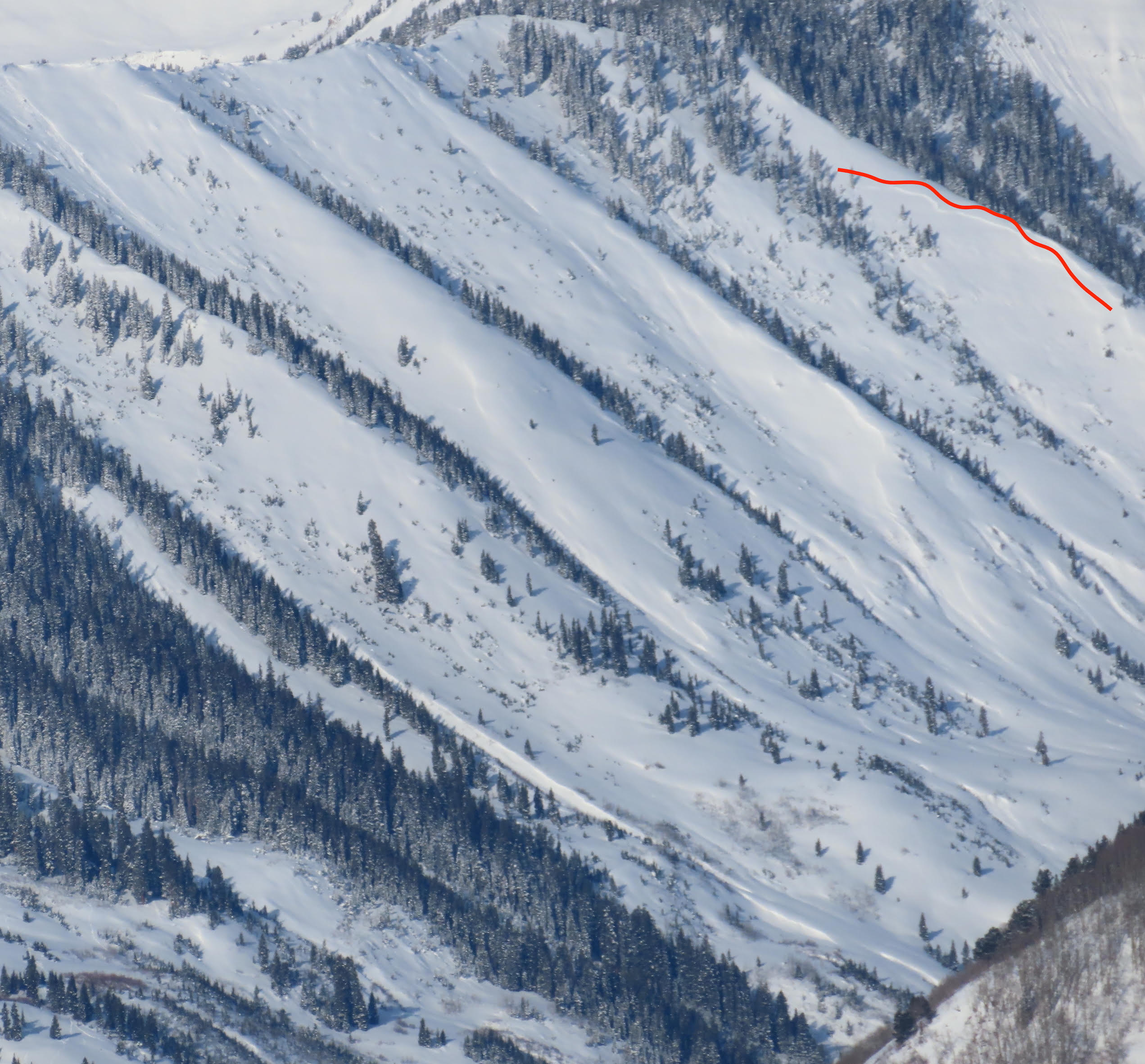
 Hancock Peak (Ruby Range)