Date of Observation: 11/24/2021
Name: Eric Murrow
Zone: Northwest Mountains
Route Description: Eastern side of Schuylkill Peak from Poverty Gulch
Observed avalanche activity: Yes
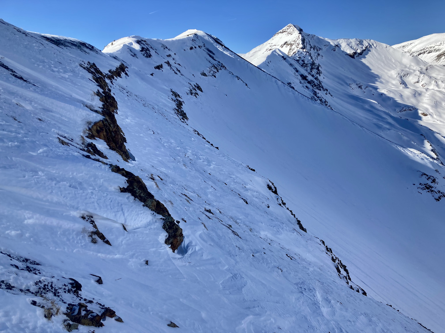
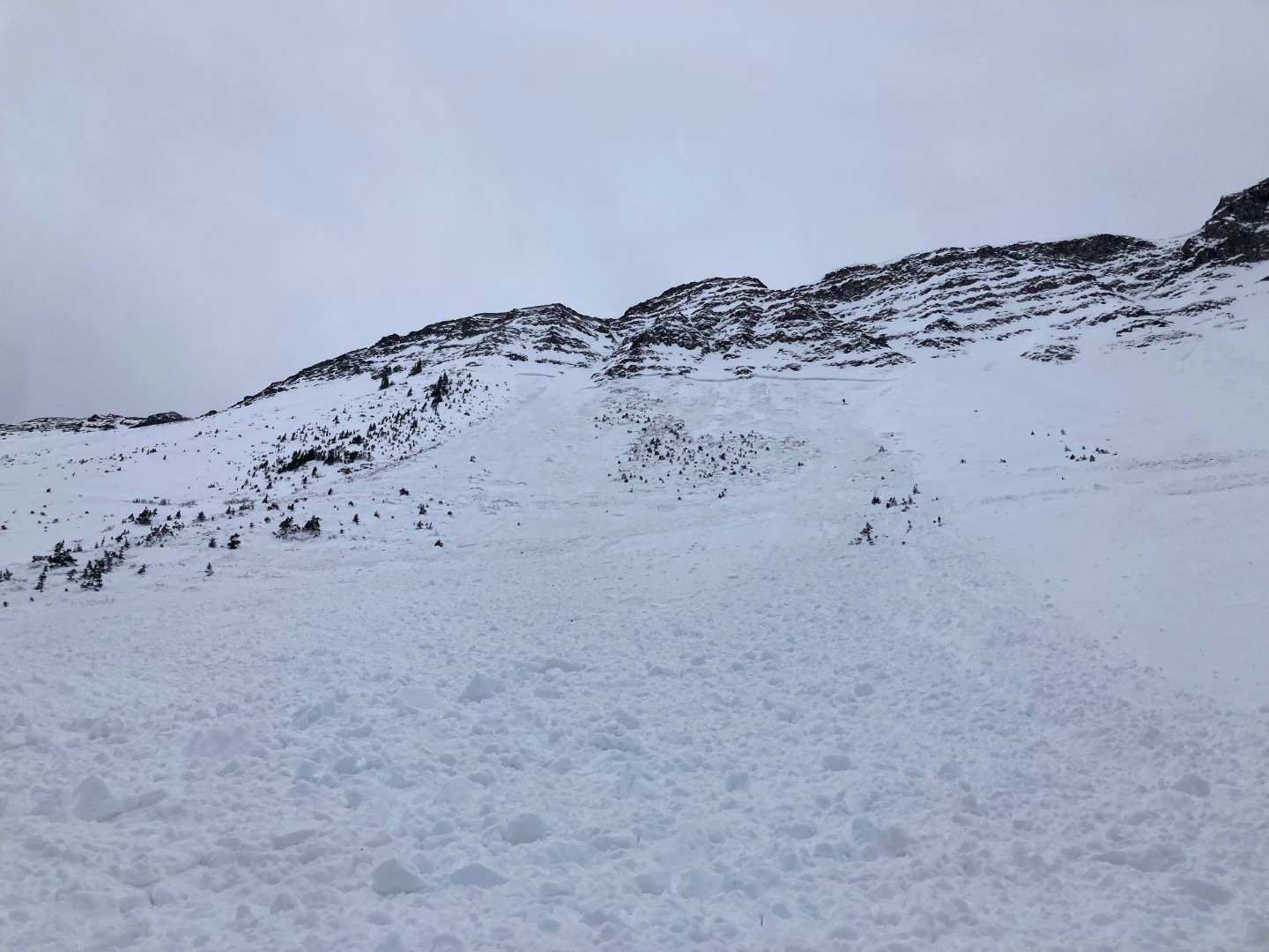
Avalanches: Limited visibility during the tour but nearby there were several very small, natural loose avalanches in the storm snow on north and northeast aspects starting from cliffy/rocky areas. None gained enough mass to gauge into the snowpack. Later in the day, once skies clear around 4pm, I went for a pavement tour looking for avalanche activity in the Ruby Range and didn’t see any significant activity, just a few more small Loose Dry avalanches.
Weather: Cloudy skies in the morning with light snowfall slowly transitioned to partly cloudy skies by the PM. Winds were light throughout the tour even on ridgetop at 11,700 feet. New snow accumulations reached about 7 inches at 11,700 feet; valley bottom at 9,300′ was only about 3 inches.
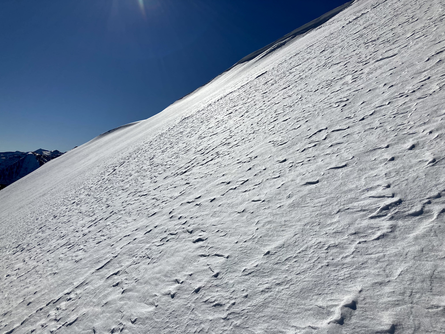
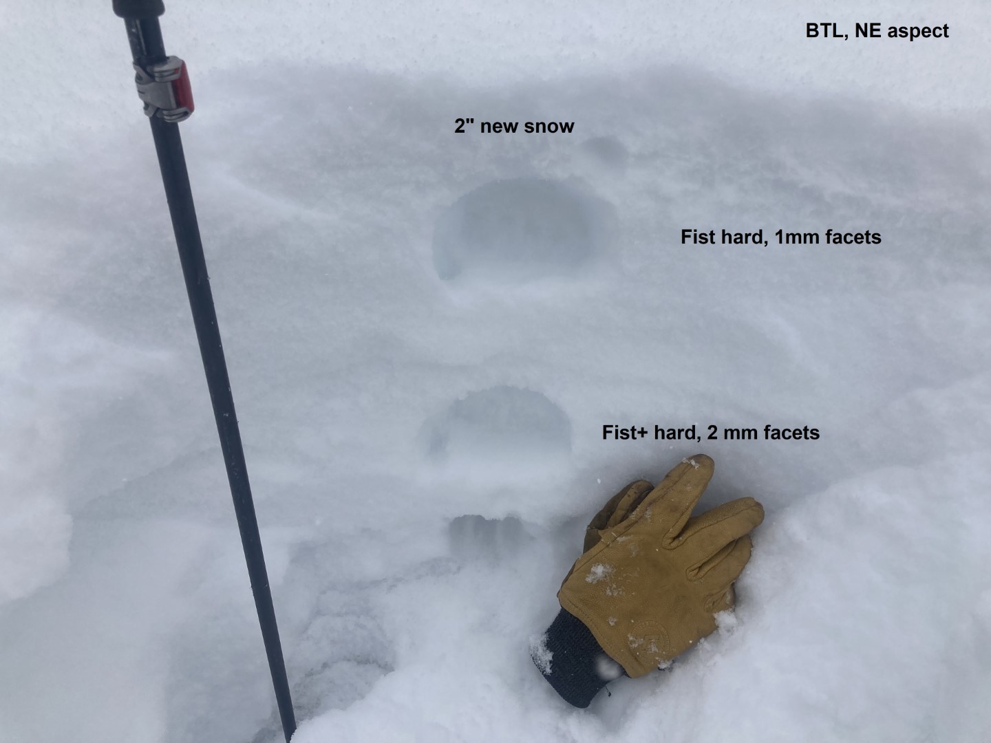
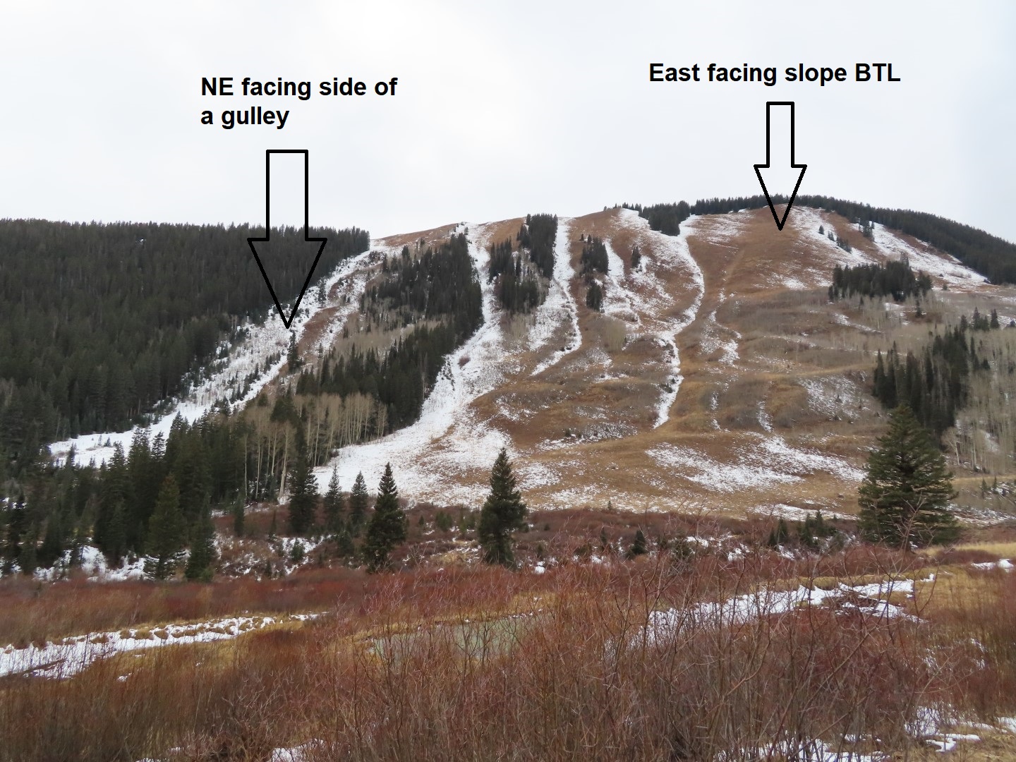
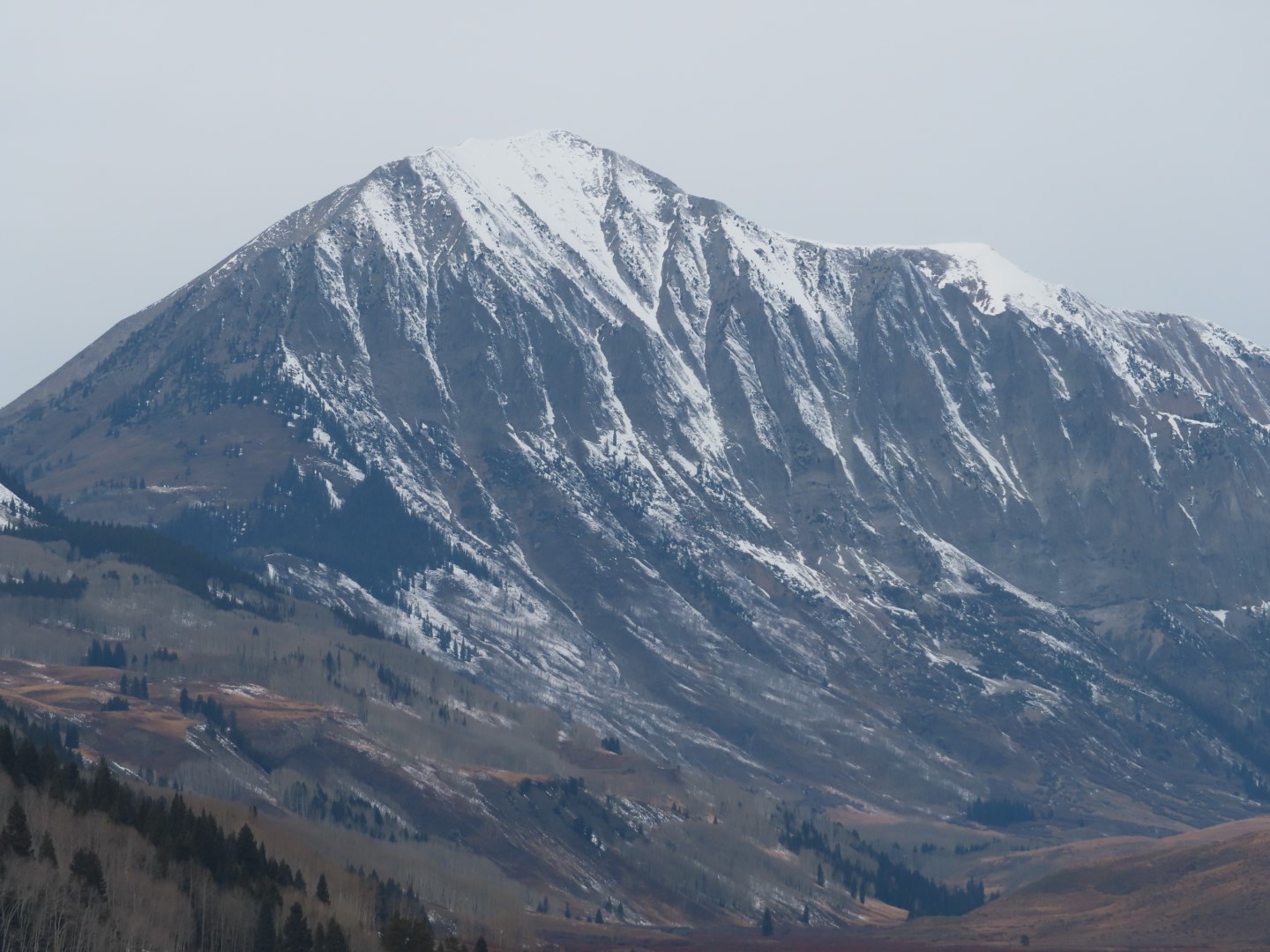
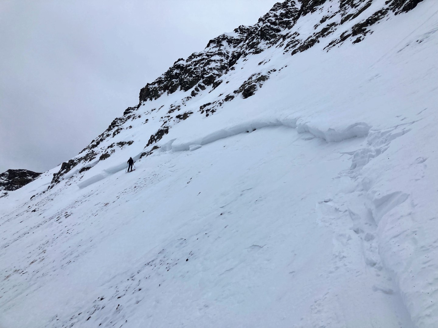
Snowpack: We traveled on north, northeast, and east aspects to treeline. In general, the snowpack continues to facet and lose strength. Snow depths were commonly around 60 to 90 cm with boot penetration very close to the ground. Grain size in the old snow is commonly 1.5 to 2mm in size. We went hunting for fresh slab formation on a leeward, northeast-facing slope at 11,700′ and basically found a weak, faceted snowpack with 7 inches of new snow resting on the junk. No evidence of drifting, or Wind Slab formation on the tour. While driving around just before sunset, I was able to spot some fresh cornice formation above treeline on east and southeast-facing ridgelines.
Photos:
-
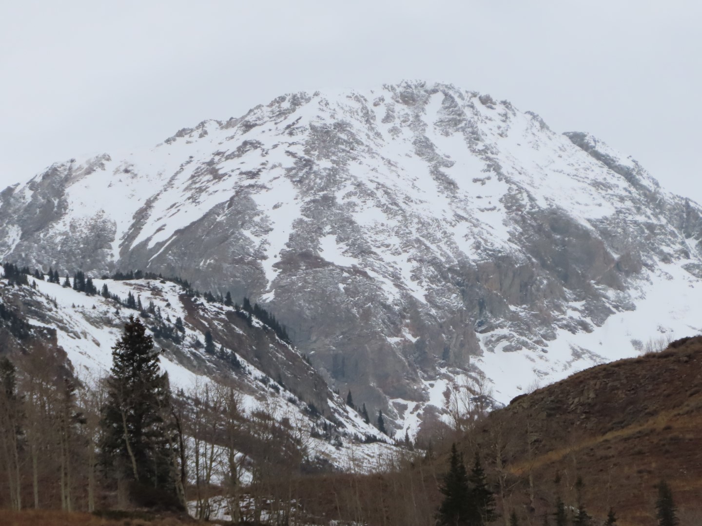
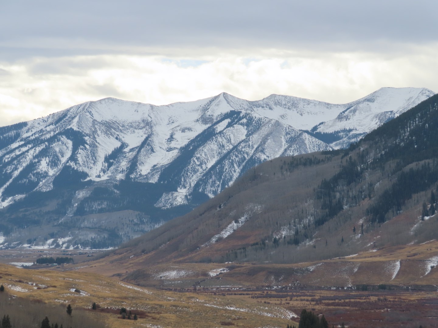
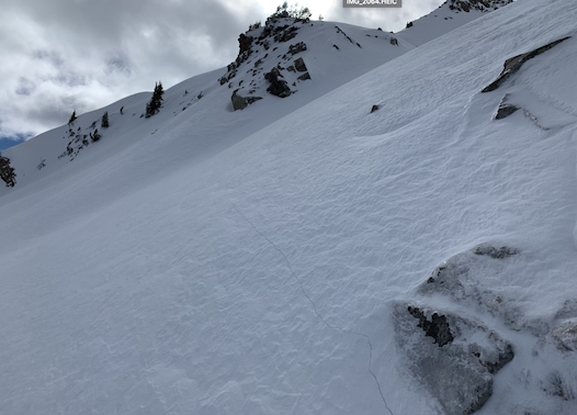
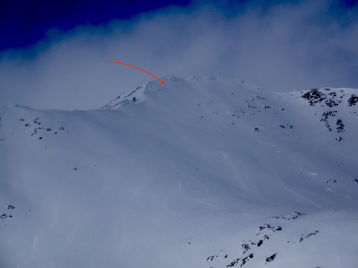
- This photo from late in the afternoon shows some fresh cornice formation above easterly-facing alpine terrain.

-
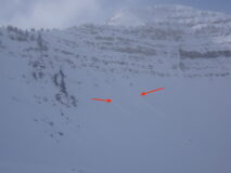
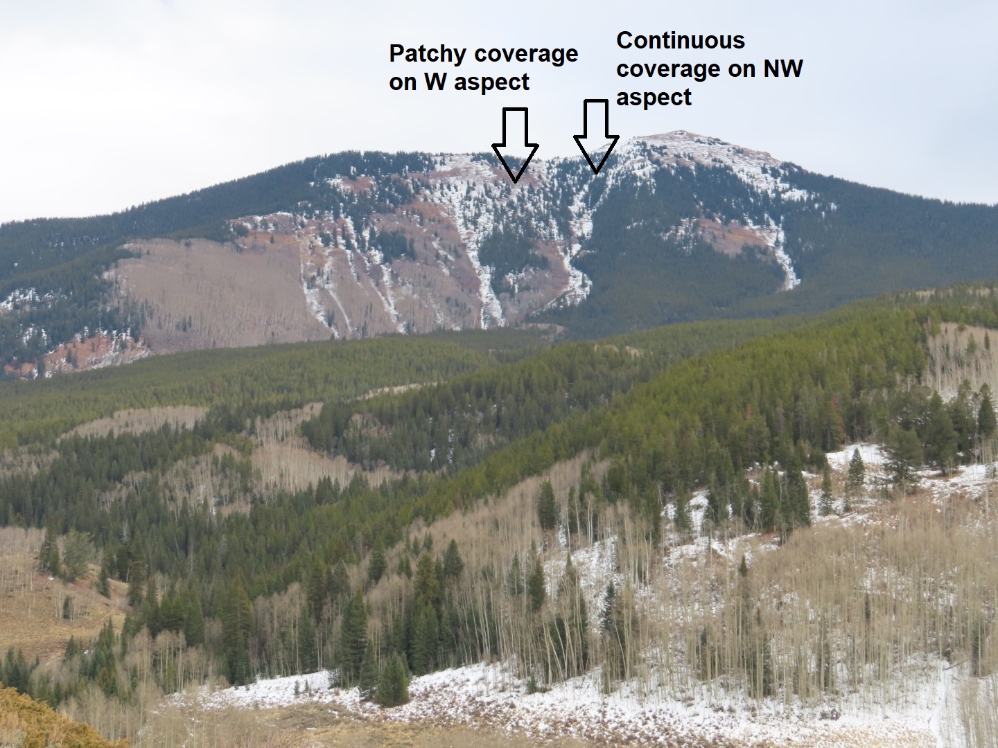
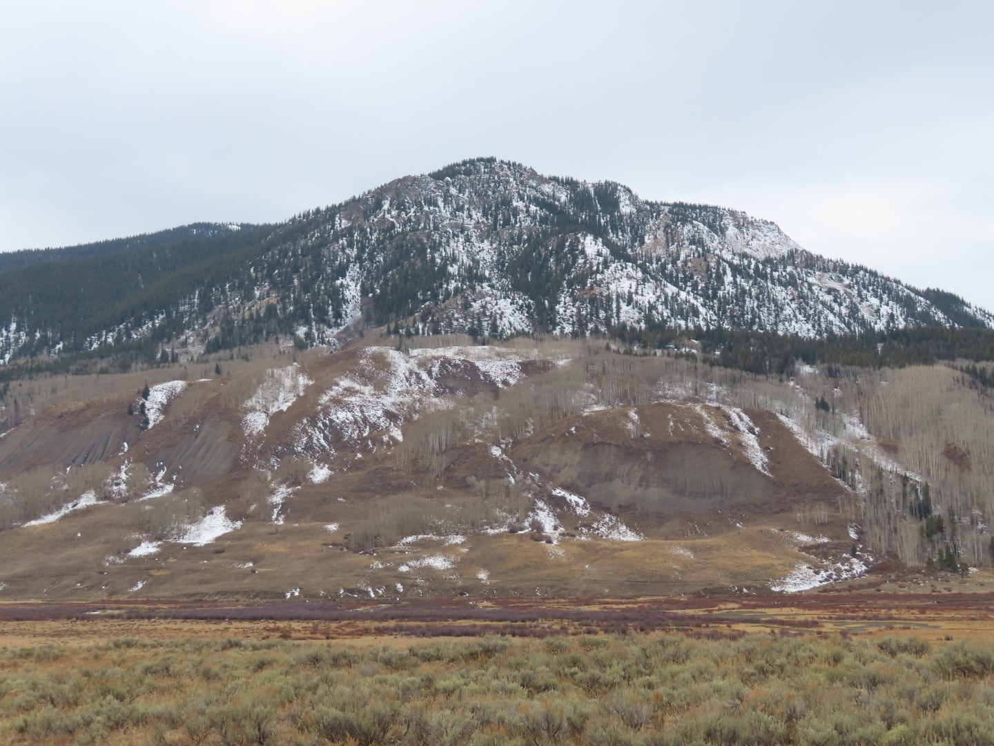
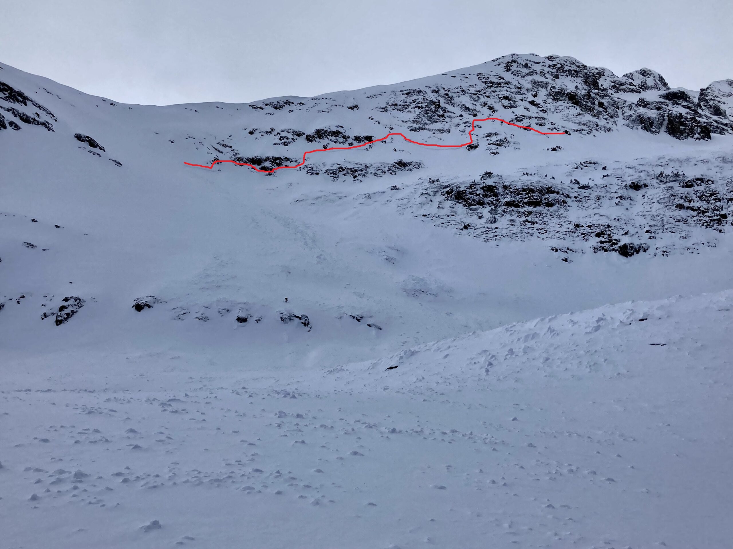
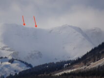
- Couple of very small, Loose Dry avalanches coming out of rocky/cliffy features. Very little wind-affect was observed in this area even above treeline.