Date of Observation: 03/30/2022
Name: Zach Guy Evan Ross
Zone: Northwest Mountains
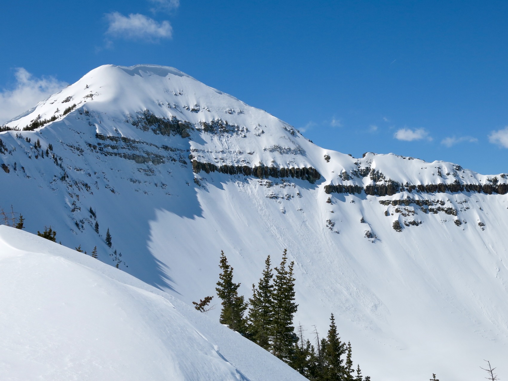
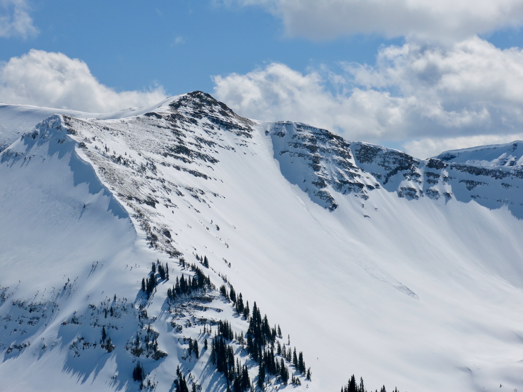
Route Description: Poverty Gulch, 9,500ft to 11,500ft. N, NE, SE.
Observed avalanche activity: Yes
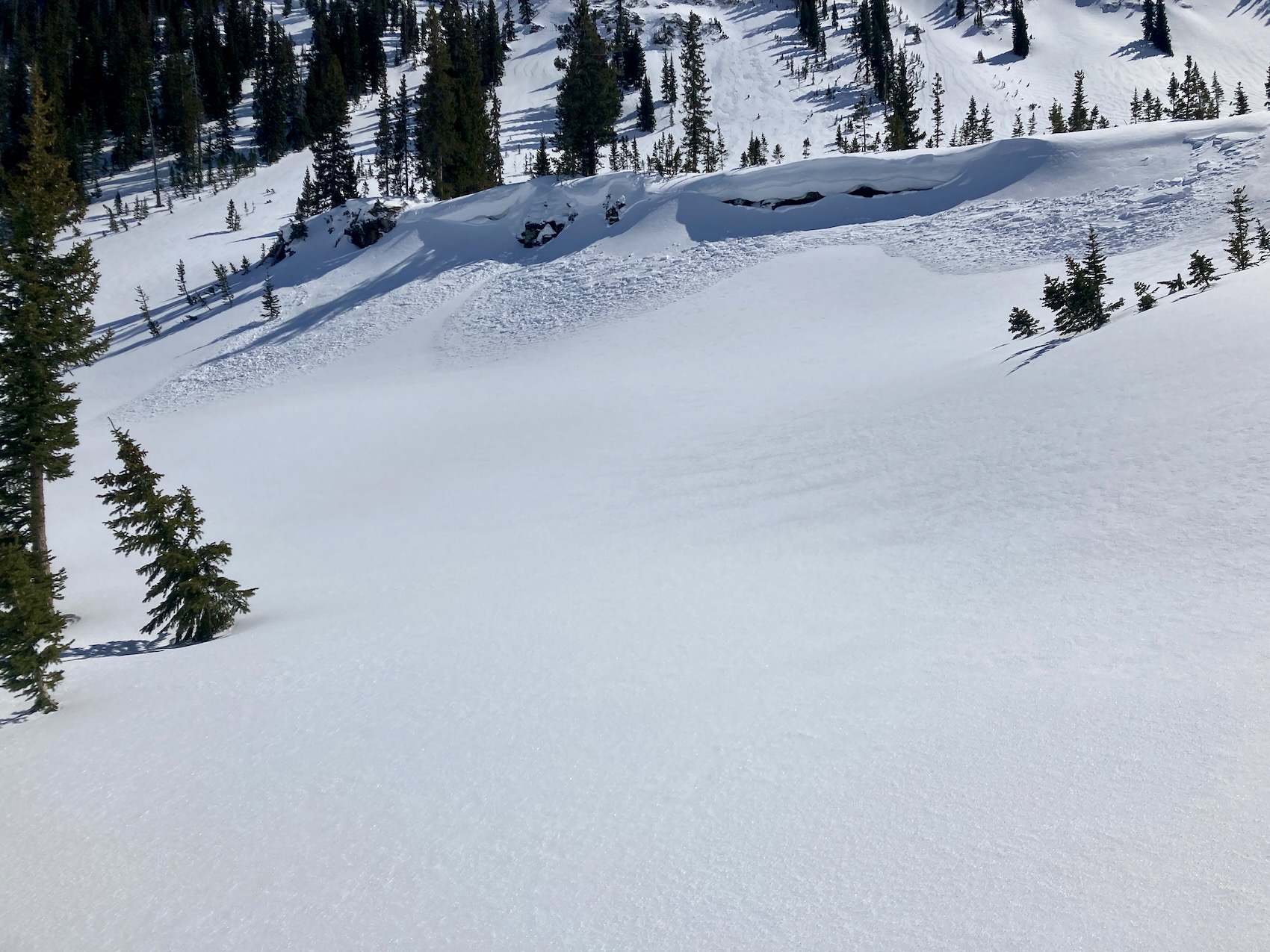
Avalanches: Skier triggered several small wind slabs on N, NE, and SE aspects between about 10,500ft and 11,500ft. These each released in storm snow, just above the 3/29 interface. Crowns averaged 6″ to 10″ thick.
Weather: The first 3/4th of the day consisted of a mostly cloudy sky with a few short breaks. Cloud cover began to decrease in the afternoon. Where we traveled the wind was moderate with a variable direction and transported snow through the day. As the sky was clearing in the afternoon, the winds looked strong in the alpine from west to northwest with lots of blowing snow.
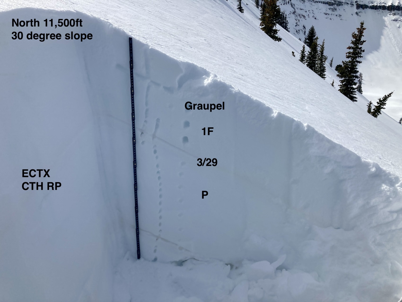
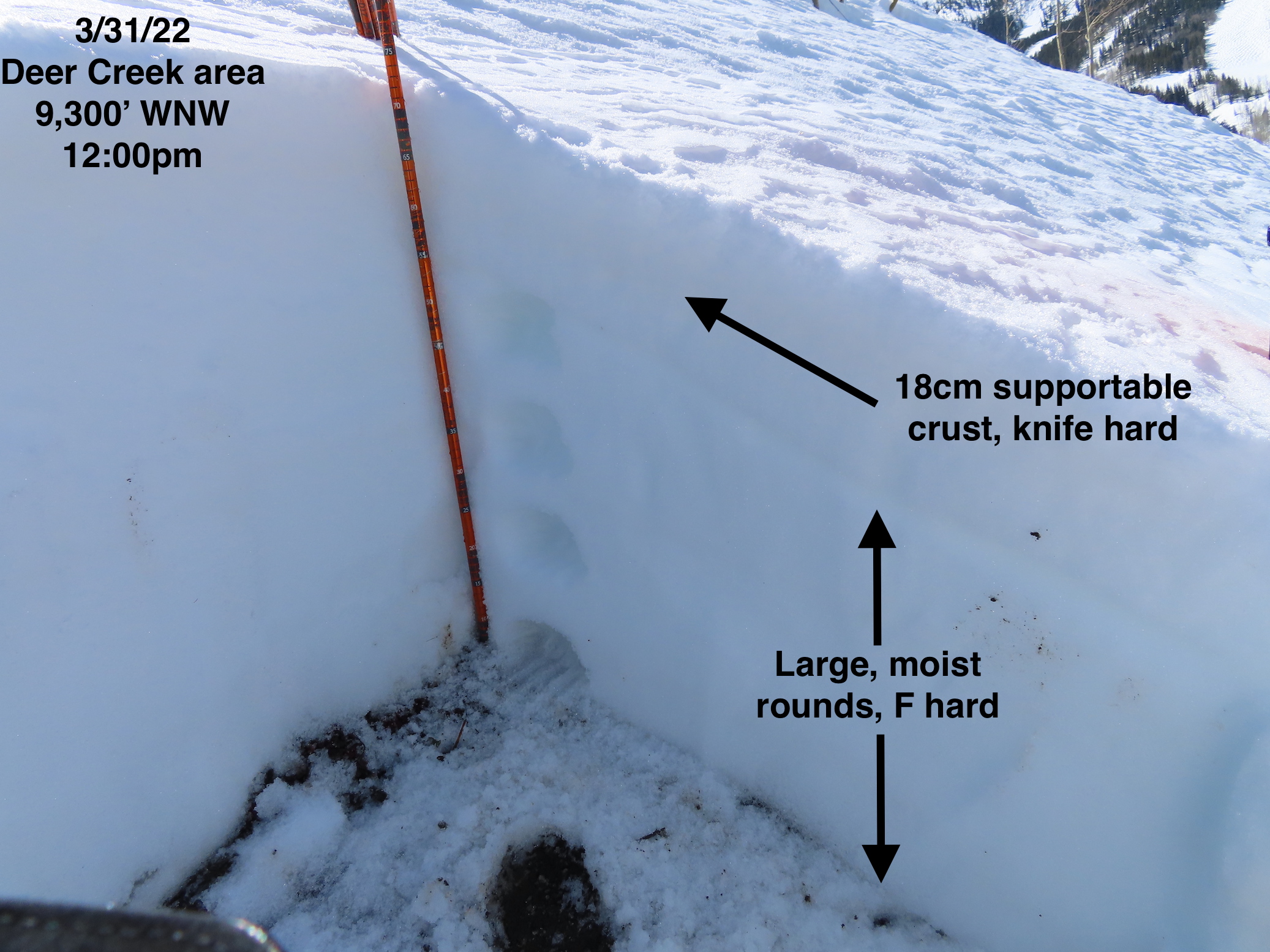
Snowpack: Recent snow accumulations have settled down to 1″ to 3″ in the valley and 3″ to 6″ at upper elevations. Wind slabs were the only avalanche concern we encountered. The new snow was thick or slabby feeling, and conditions made it difficult to identify wind-loaded terrain features. The skier-triggered wind slabs were breaking above the 3/29 interface, on a density change in the storm snow.
On northerly facing slopes at upper elevations, the 3/29 interface was a thin crust over lightly faceted grains or no crust and just faceted grains. There wasn’t enough snow to create a widespread new snow avalanche problem on this interface and additional wind-loading was necessary. We aborted one up route when we encountered a slab around a foot thick on faceted grains near ridgeline that we couldn’t avoid.
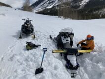
Down in the valley, the road was still punchy with snowmobile skis and tracks sinking deeply at times. Talked to on group that was looking for a quick ski near the trailhead and aborted because the snowpack wasn’t supportable. In the afternoon our snowmobiles were at times sinking deeply on the road.
Photos:
-
-
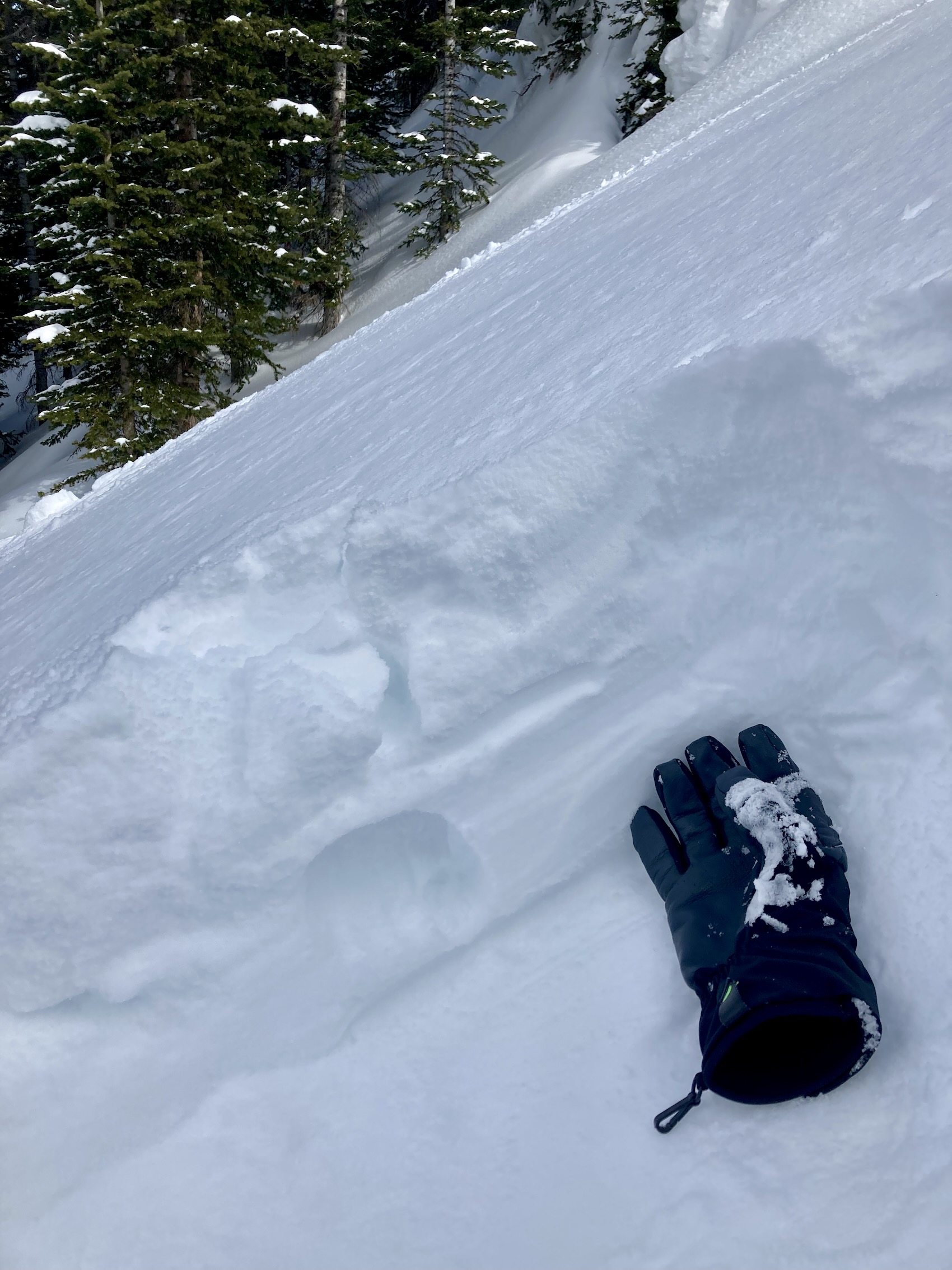
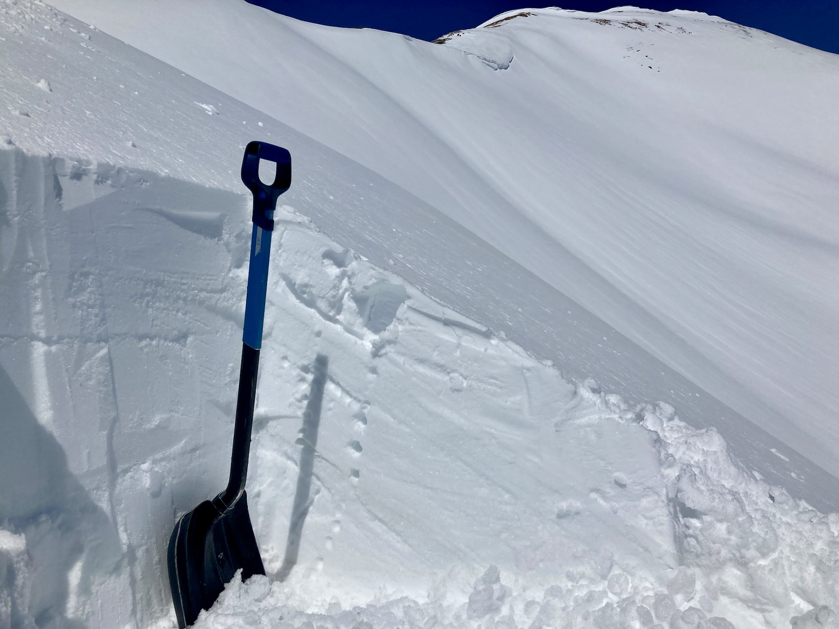
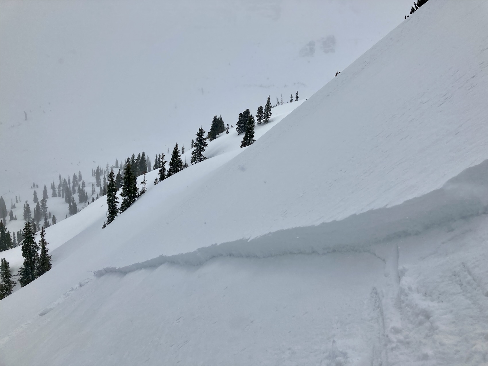
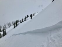
Human triggered Wind Slab SE 11,100ft
-
-
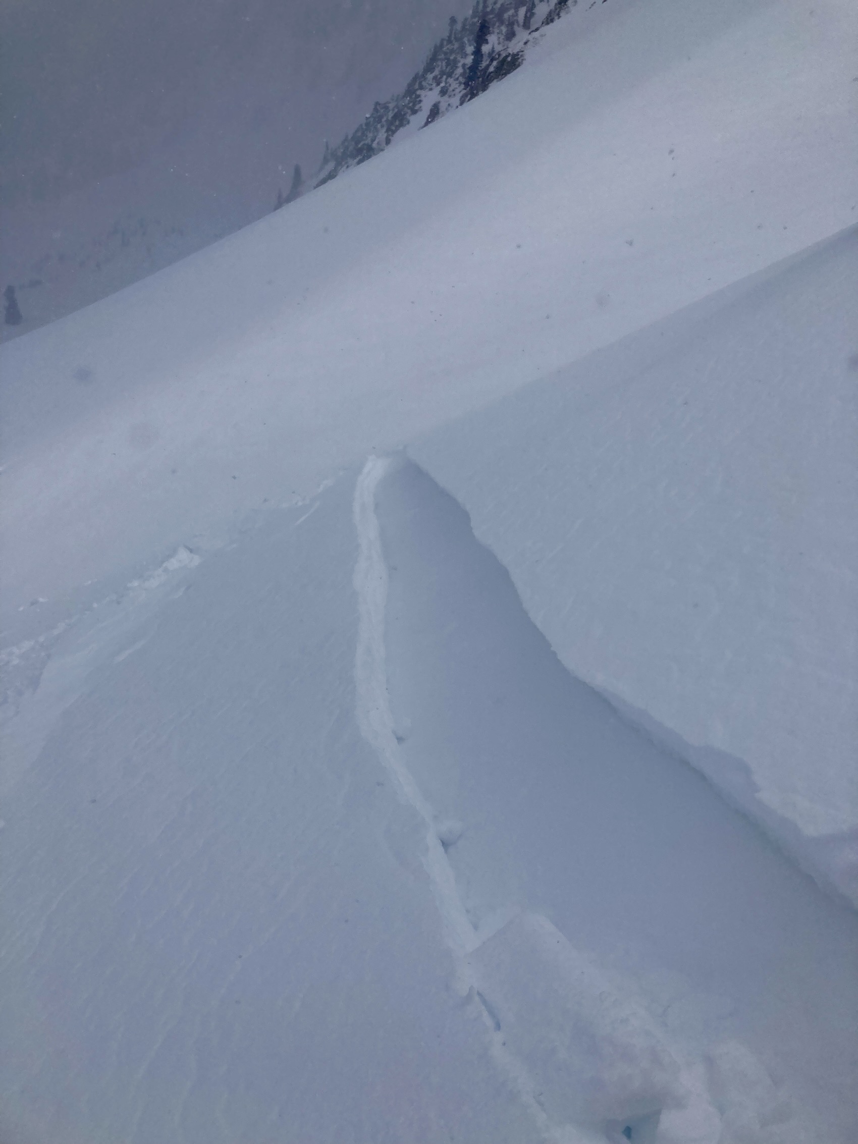
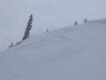
Human triggered Wind Slab SE 11,100ft
-

-
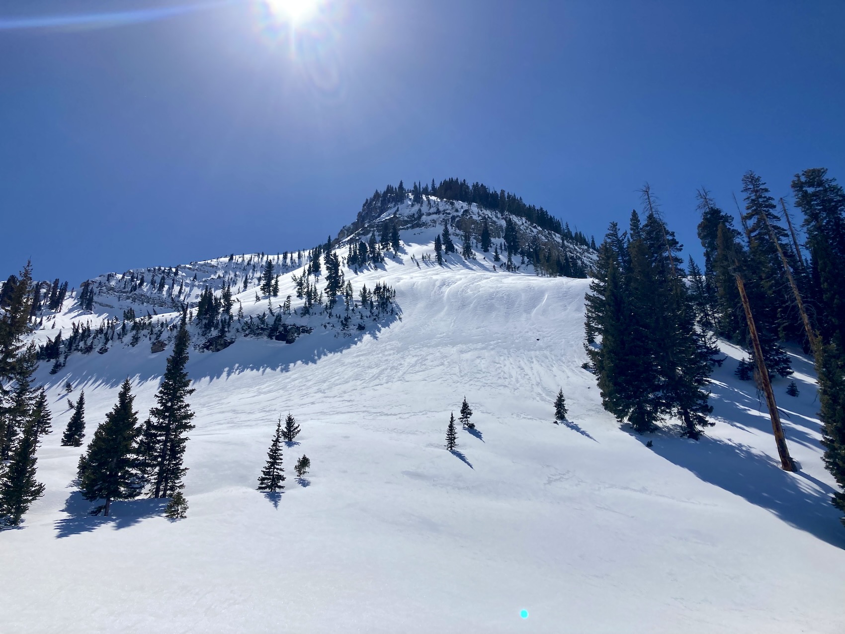
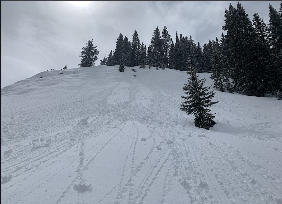
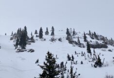
Human Triggered Wind Slab NE 10,600
-

-
-
Estimated avalanche date: 03/30/2022
Number of Avalanches: 2
Location
Location: Poverty Gulch (Pittsburg, Augusta, Baxter Basin)
Location Specific:
Start Zone Elevation: NTL: Near Tree Line
Aspect: N
Characteristics
Trigger: Skier
Trigger modifier:
Type: Soft Slab
Failure Plane: Within storm snow
Size
Relative Size: R1 very small
Destructive Size: D1.5
Avg. crown height (inches): 7
Avg. width (feet): 80
Avg. vertical run (feet):
Involvements
# of people caught:
# of partial burials:
# of full burials:
Additional comments: Daisy Pass area and slopes down lower down in the basin.
Estimated avalanche date: 03/30/2022
Number of Avalanches: 1
Location
Location: Poverty Gulch (Pittsburg, Augusta, Baxter Basin)
Location Specific:
Start Zone Elevation: NTL: Near Tree Line
Aspect: SE
Characteristics
Trigger: Skier
Trigger modifier: Unintentional
Type: Soft Slab
Failure Plane: Within storm snow
Size
Relative Size: R1 very small
Destructive Size: D1.5
Avg. crown height (inches): 9
Avg. width (feet): 80
Avg. vertical run (feet): 500
Involvements
# of people caught:
# of partial burials:
# of full burials:
Additional comments: SE off of Cascade
5524