Date of Observation: 02/20/2023
Name: Evan Ross
Zone: Southeast Mountains
Route Description: Mt Emmons E-S-SW. 9,400-11,900ft.
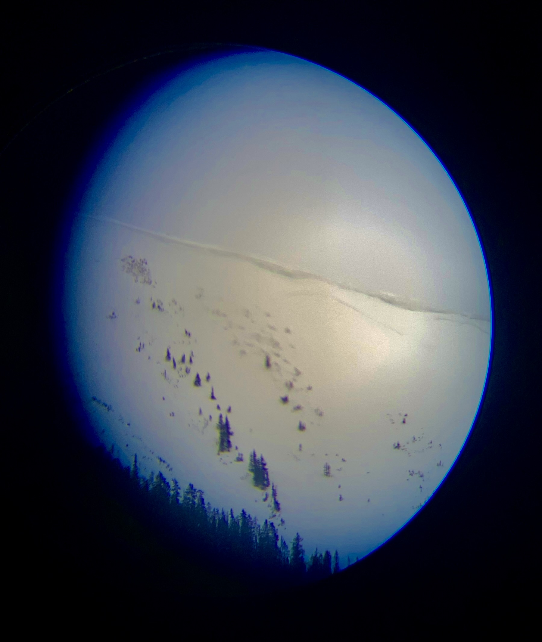
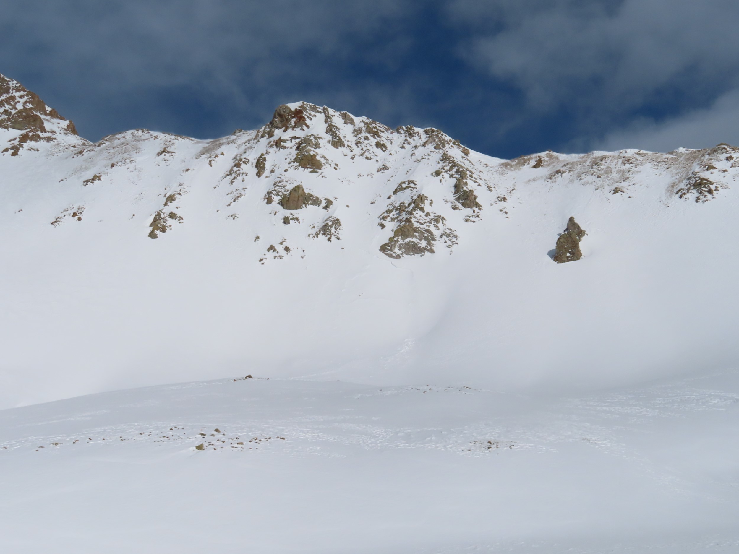
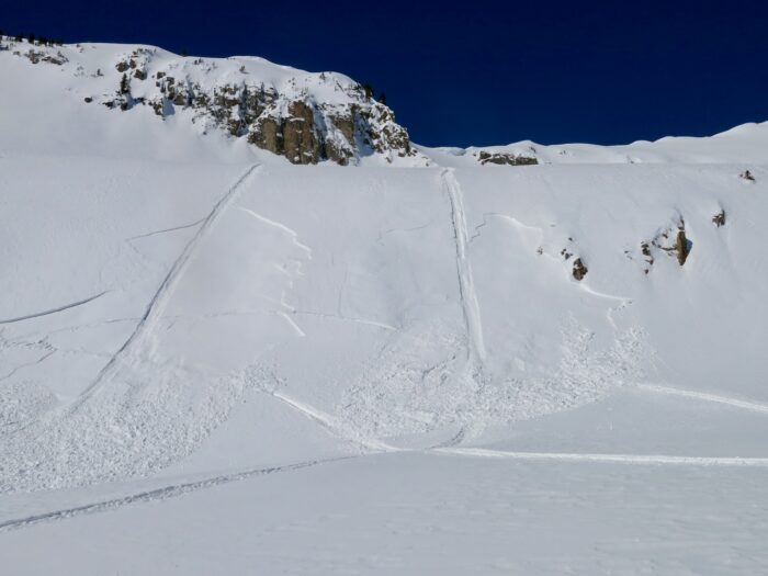
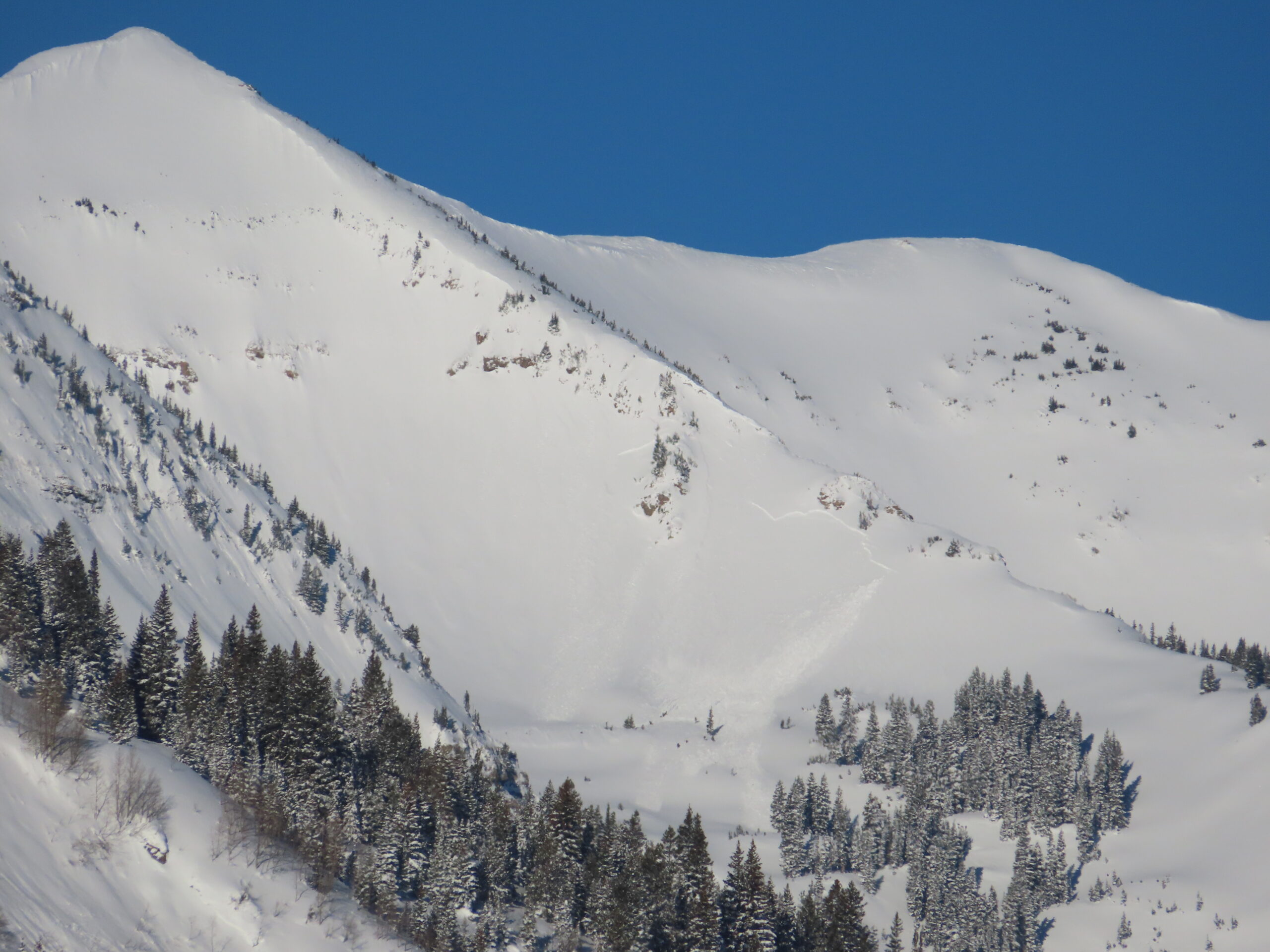
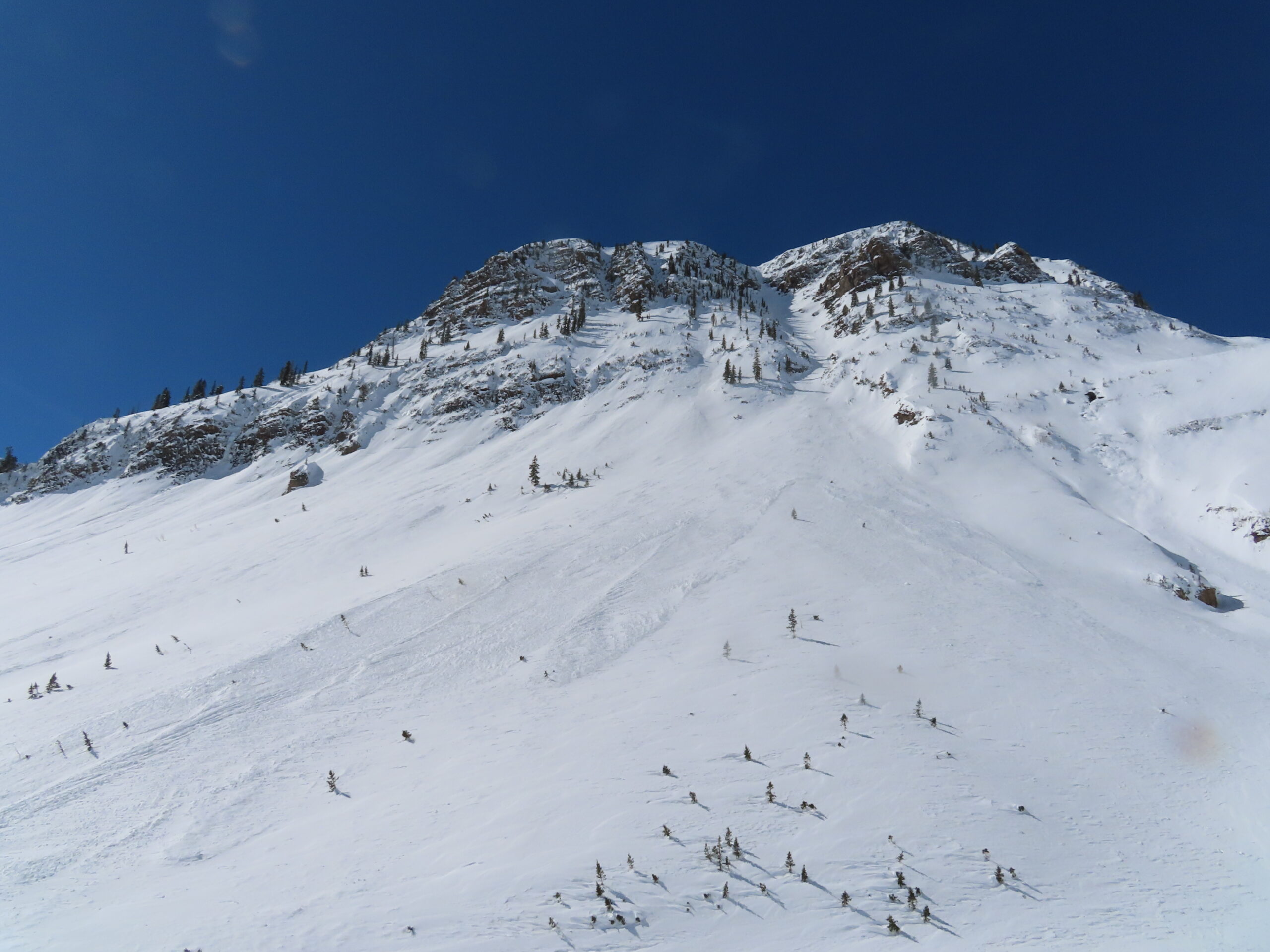
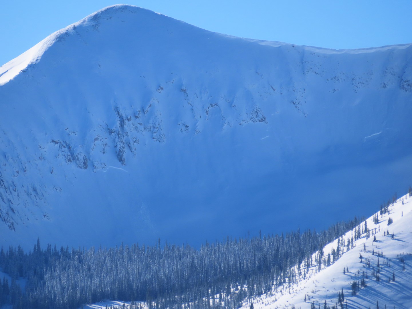
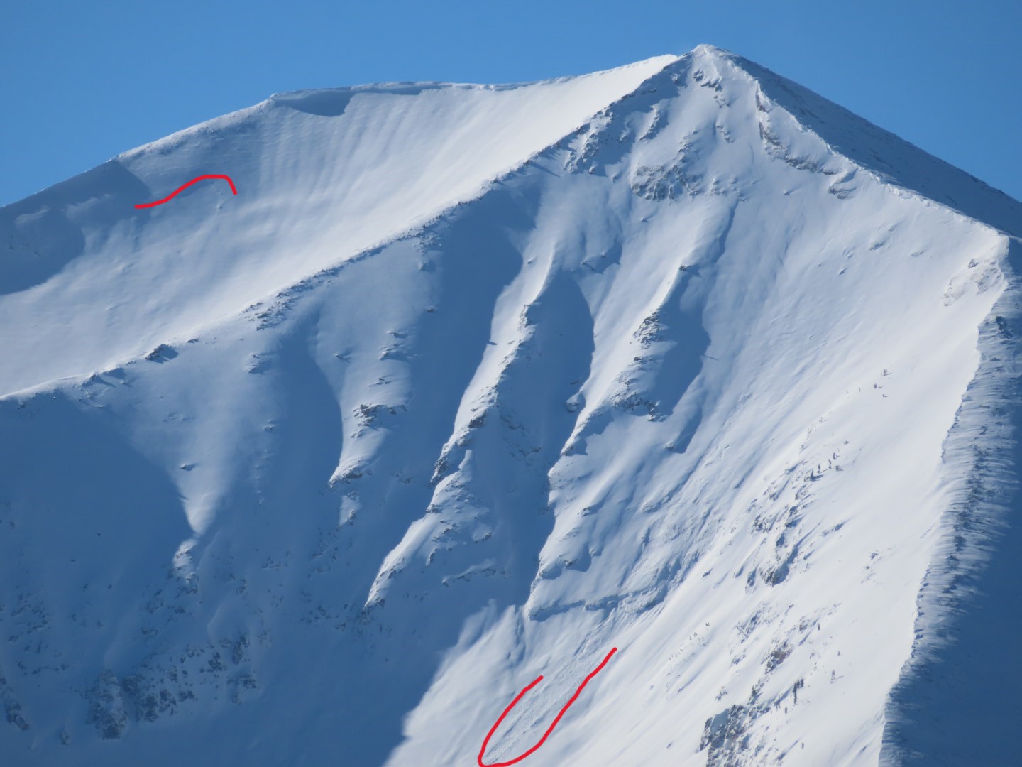
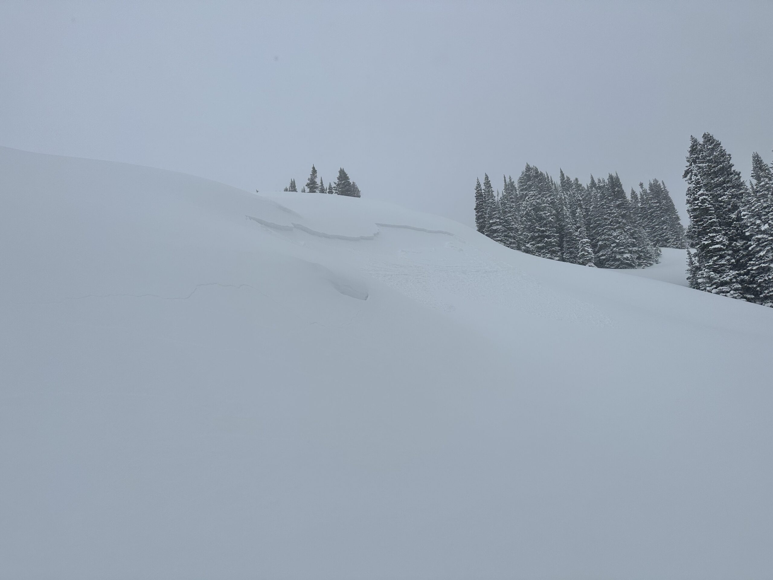
Avalanches: Recent large avalanche in Red Coon Bowl. Best Guess is that it ran on Sunday or early Monday. East aspect 11,800ft. Estimated 1.5 feet deep and 400 feet wide. Blurry iPhone photo attached.
Weather: S1 through the AM hours with 1.5 to 2″ of new snow by noon. NTL elevations had continuous blowing snow with moderate to strong winds during the AM hours. Poor visibility. The weather started to improve in the early afternoon. With better visibility snow plumes could be seen on the higher peaks at times.
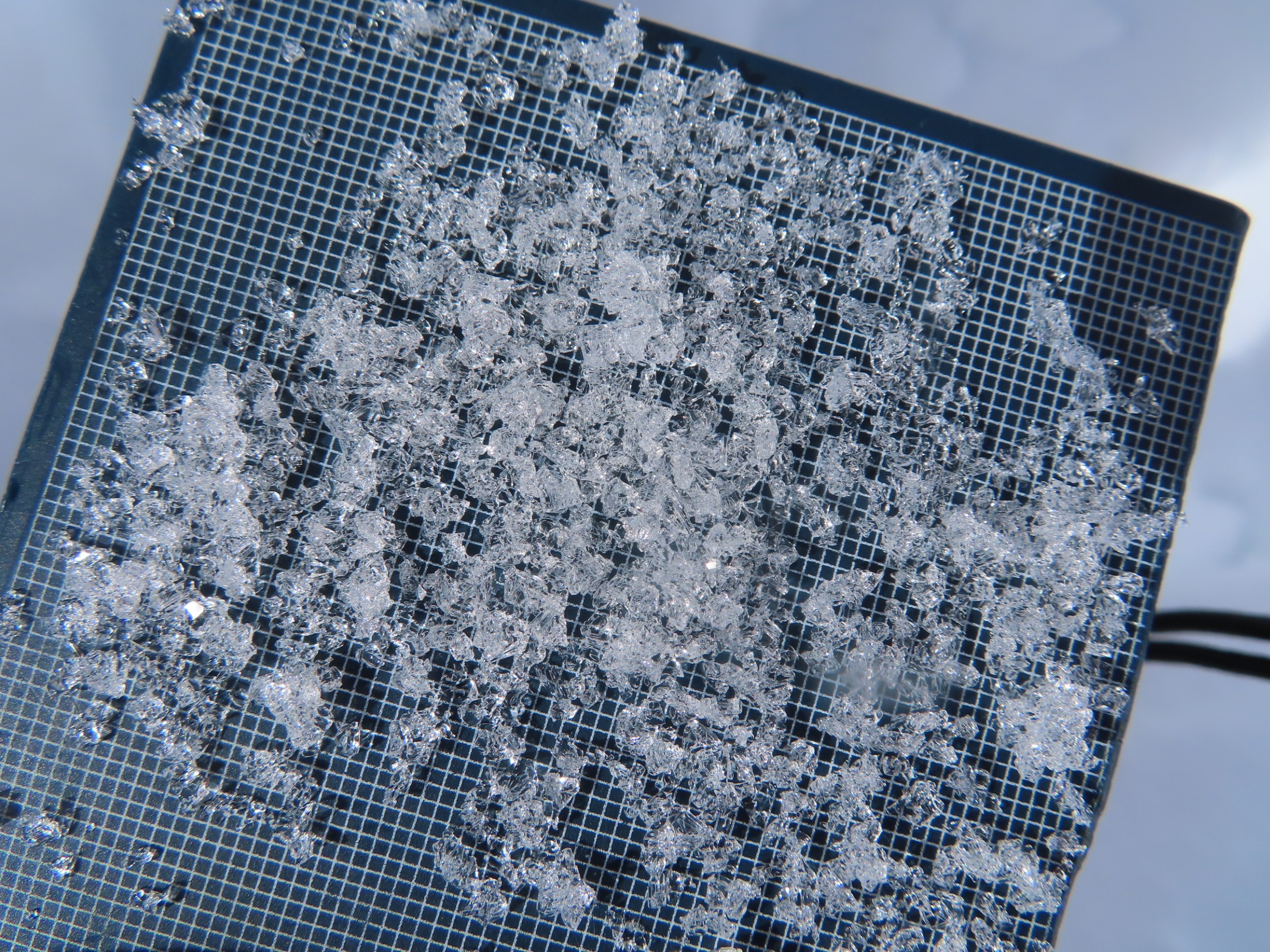
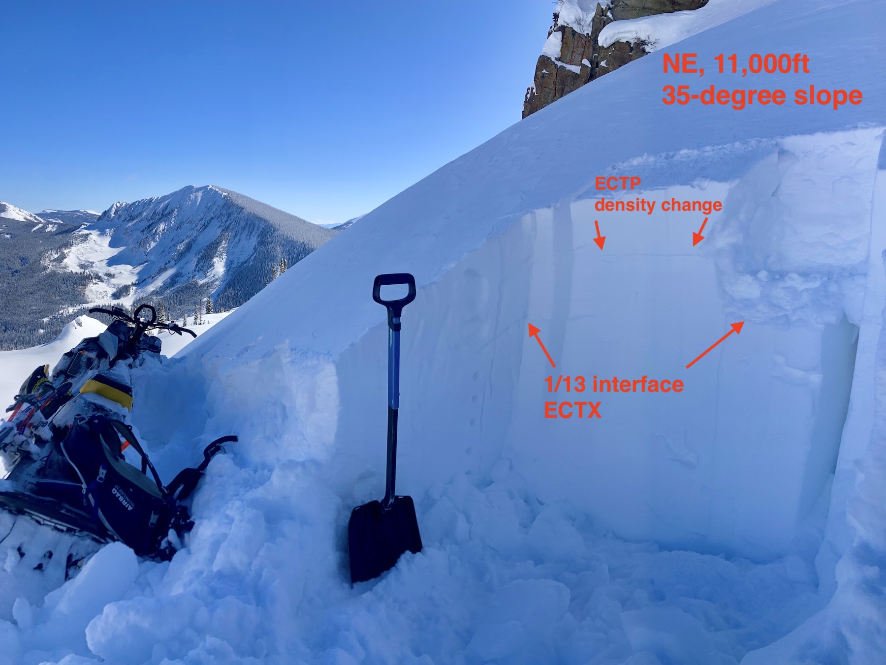
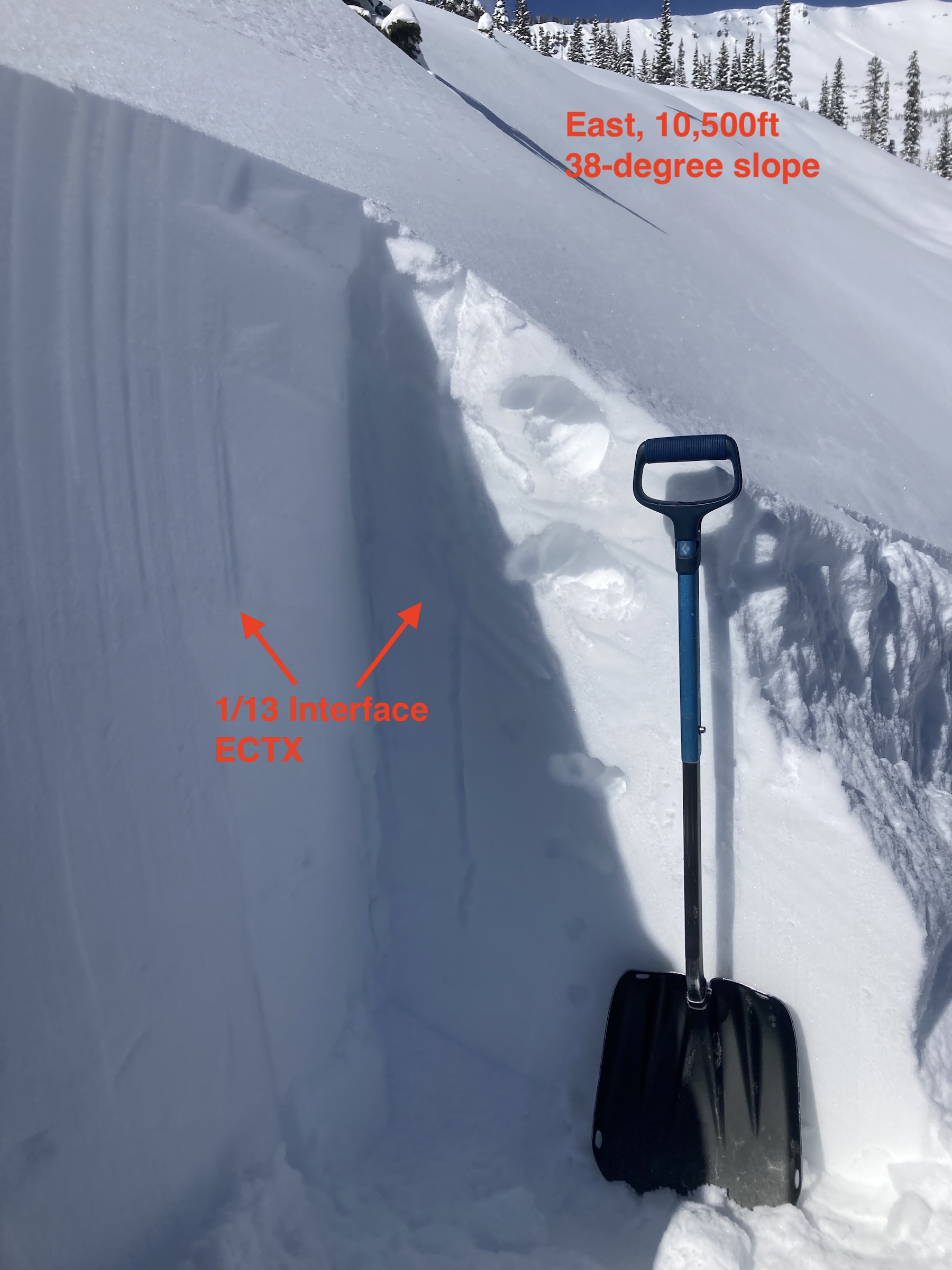
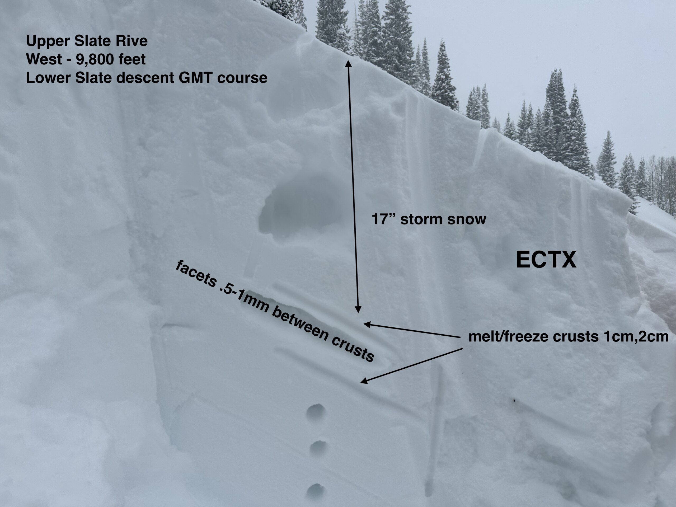
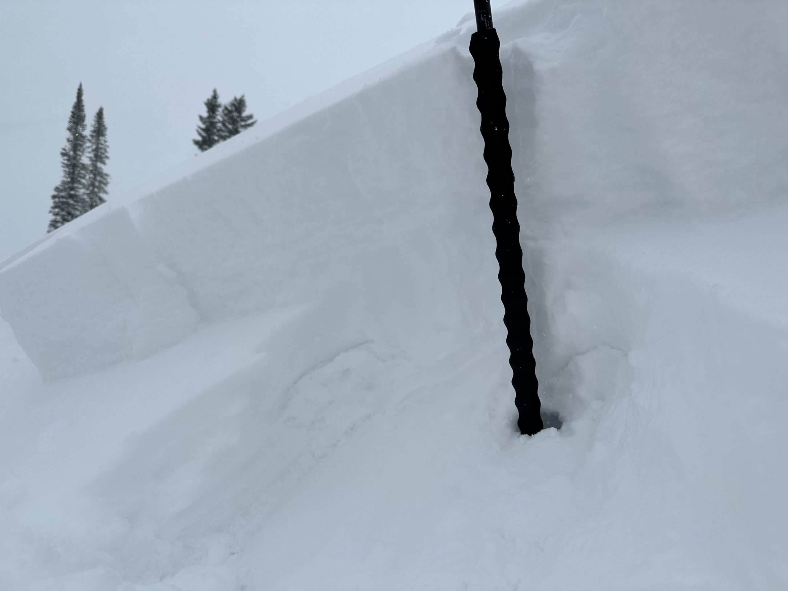
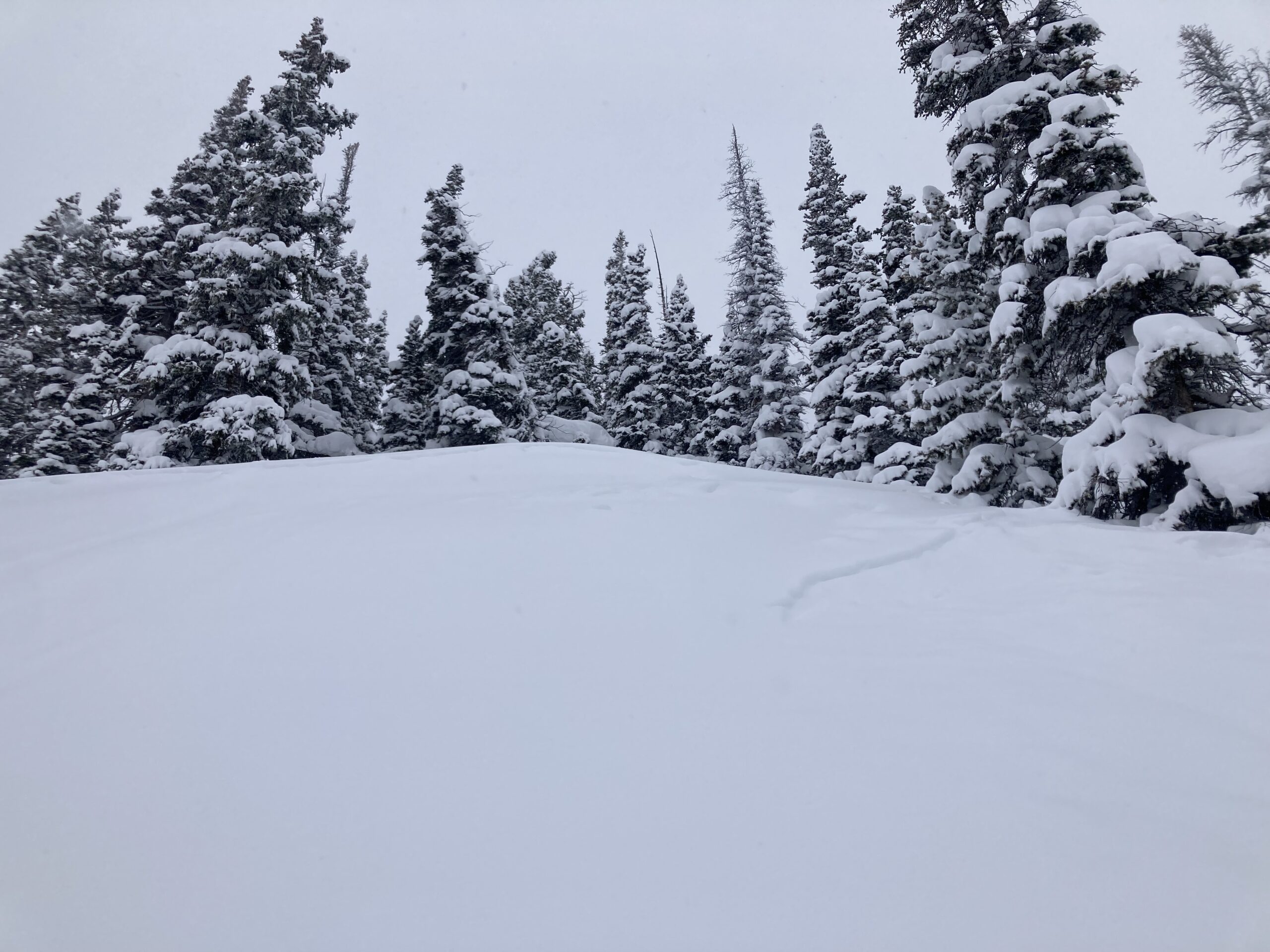
Snowpack: Targeted a few areas for another look before we go into the next storm. Since January, the upper snowpack has become layered and more complicated. There are several layers of crusts and facets that could lead to persistent slab avalanche behavior during the upcoming loading event. In the areas I checked around 11,200ft, E and SE aspects were the most concerning for the future PSa issues in the upper 40cm of the snowpack. I didn’t look at any south aspects. The crusts in the upper 40cm of the snowpack on a SW aspect were 2 to 5cm thick and notably stronger than those same interfaces on the SE aspects.
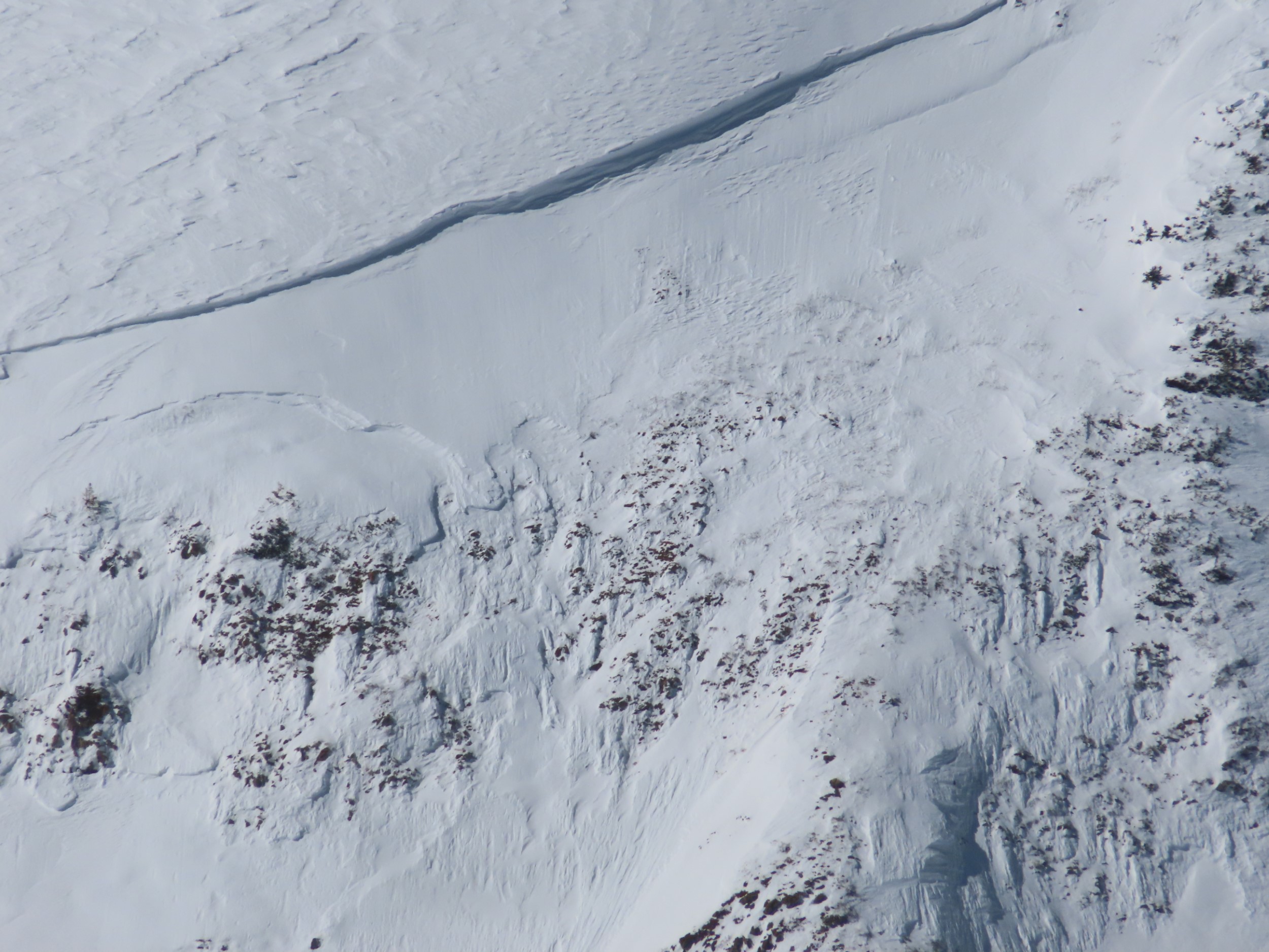
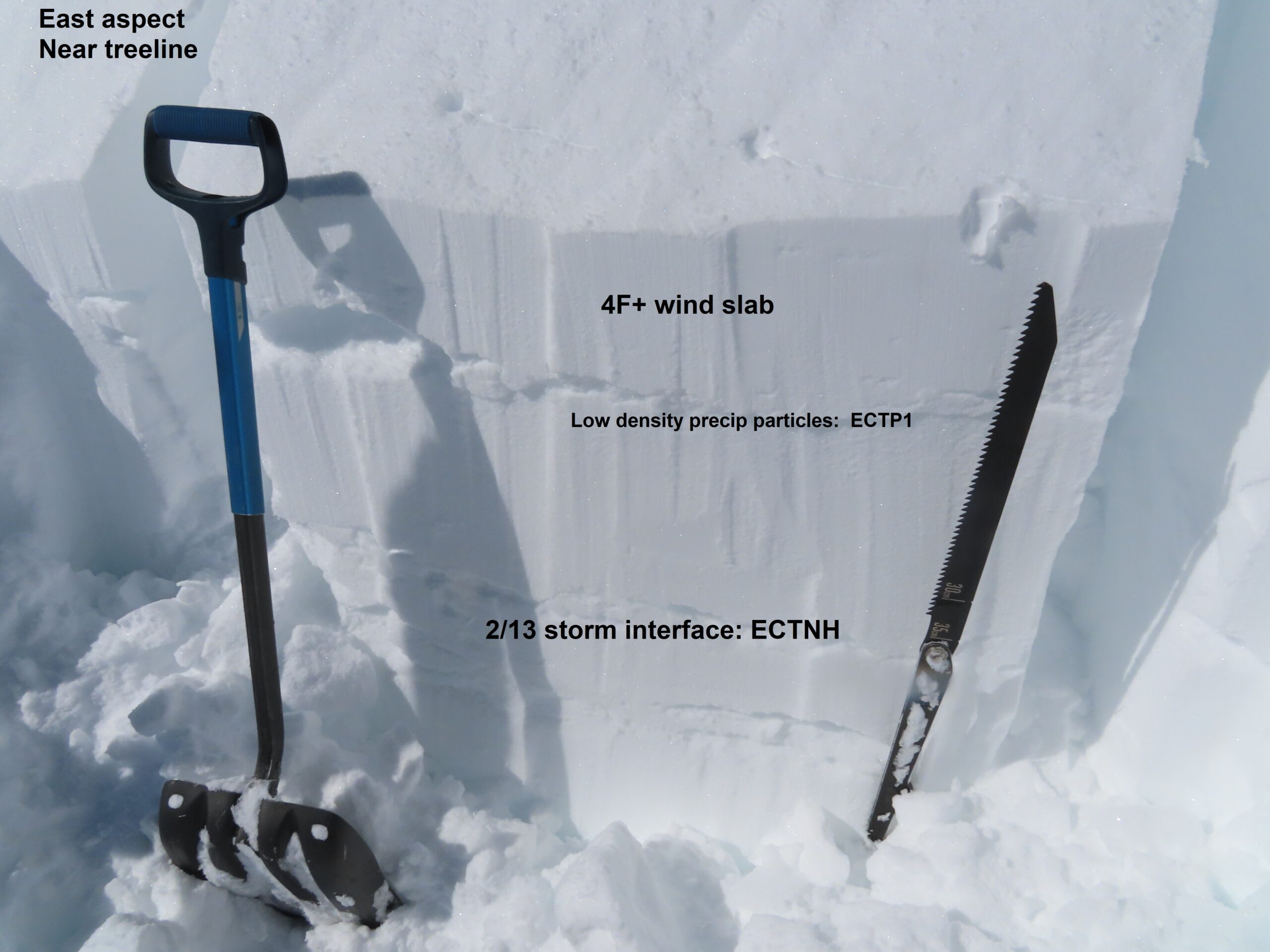
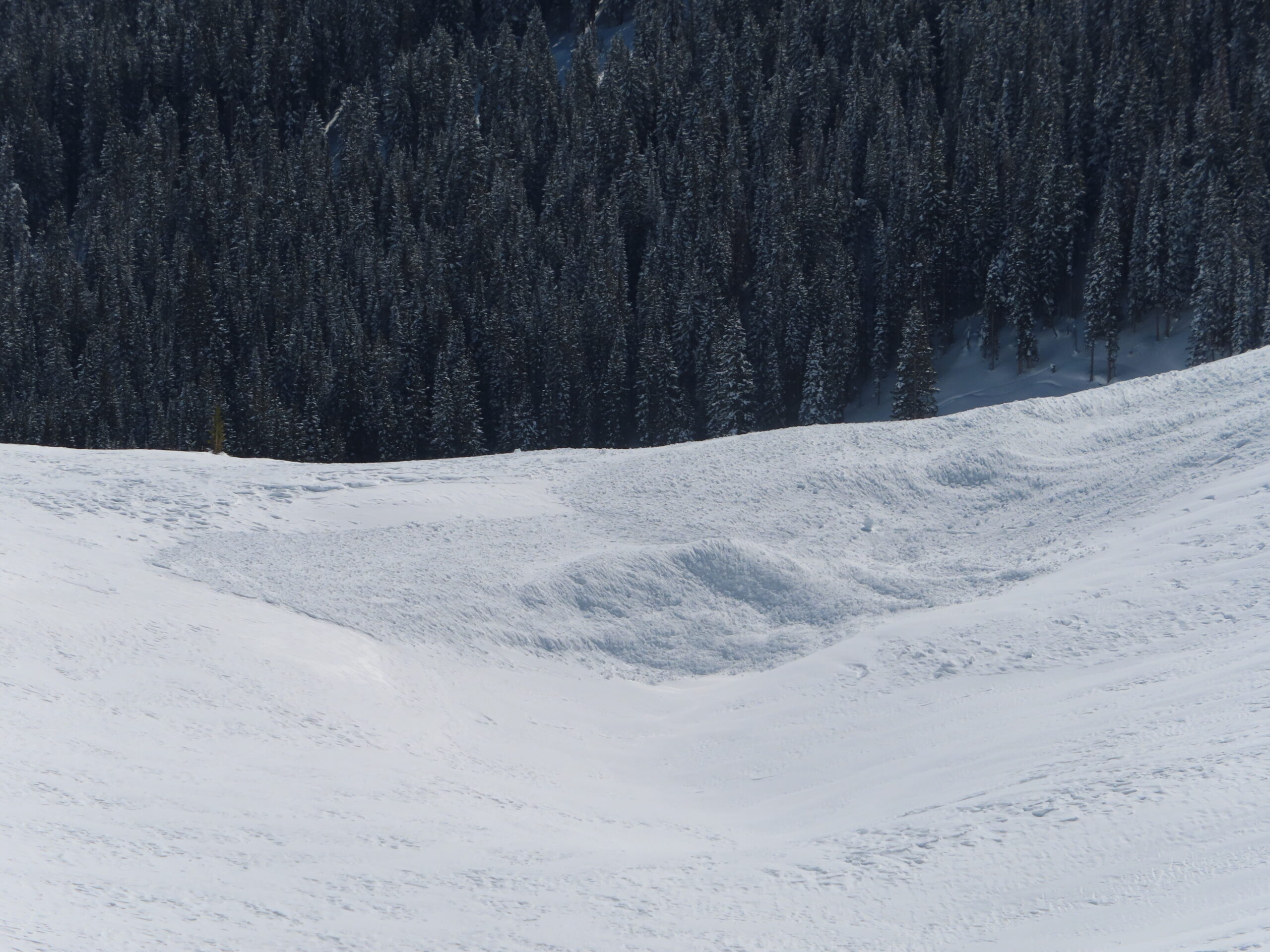
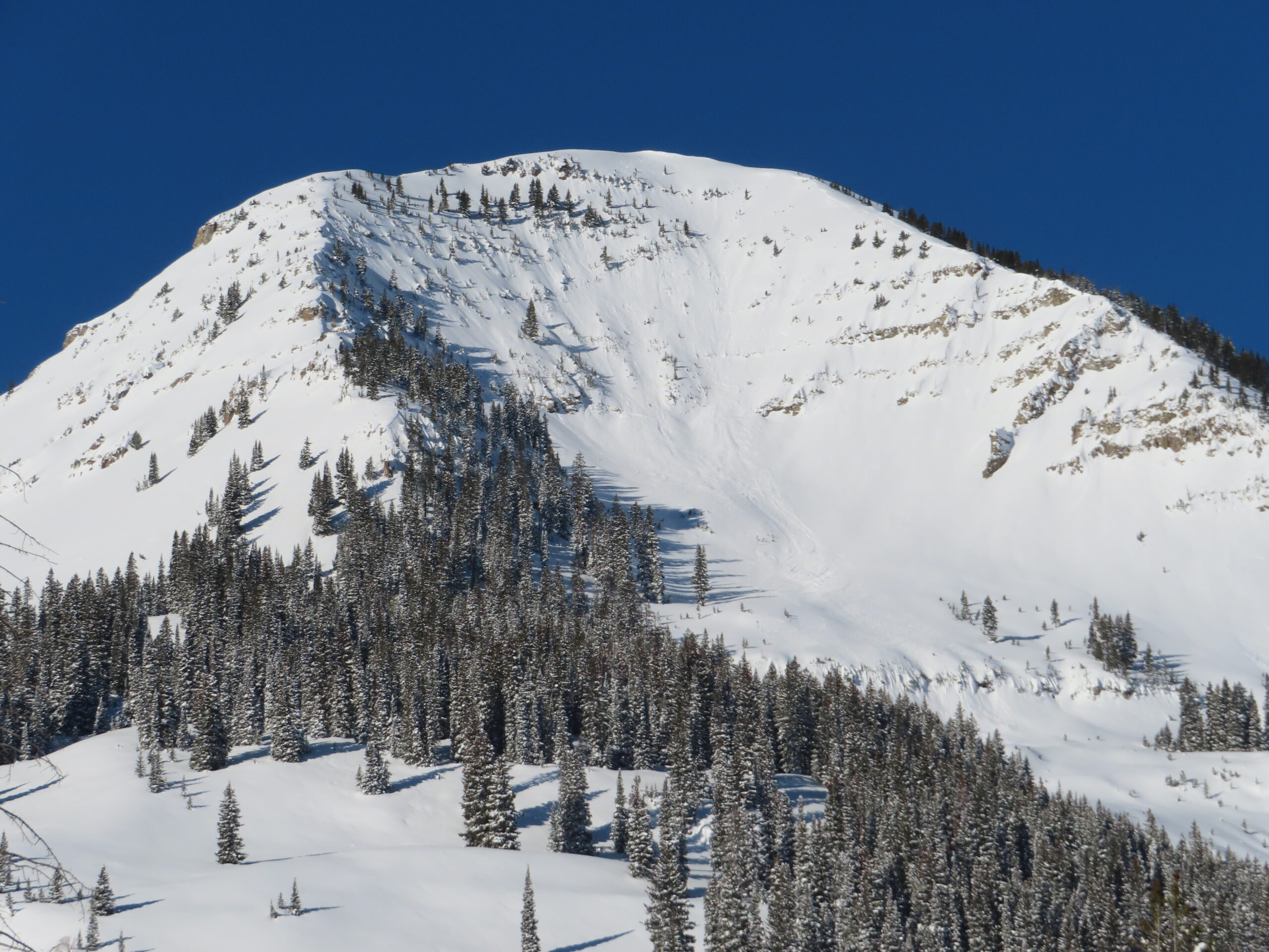
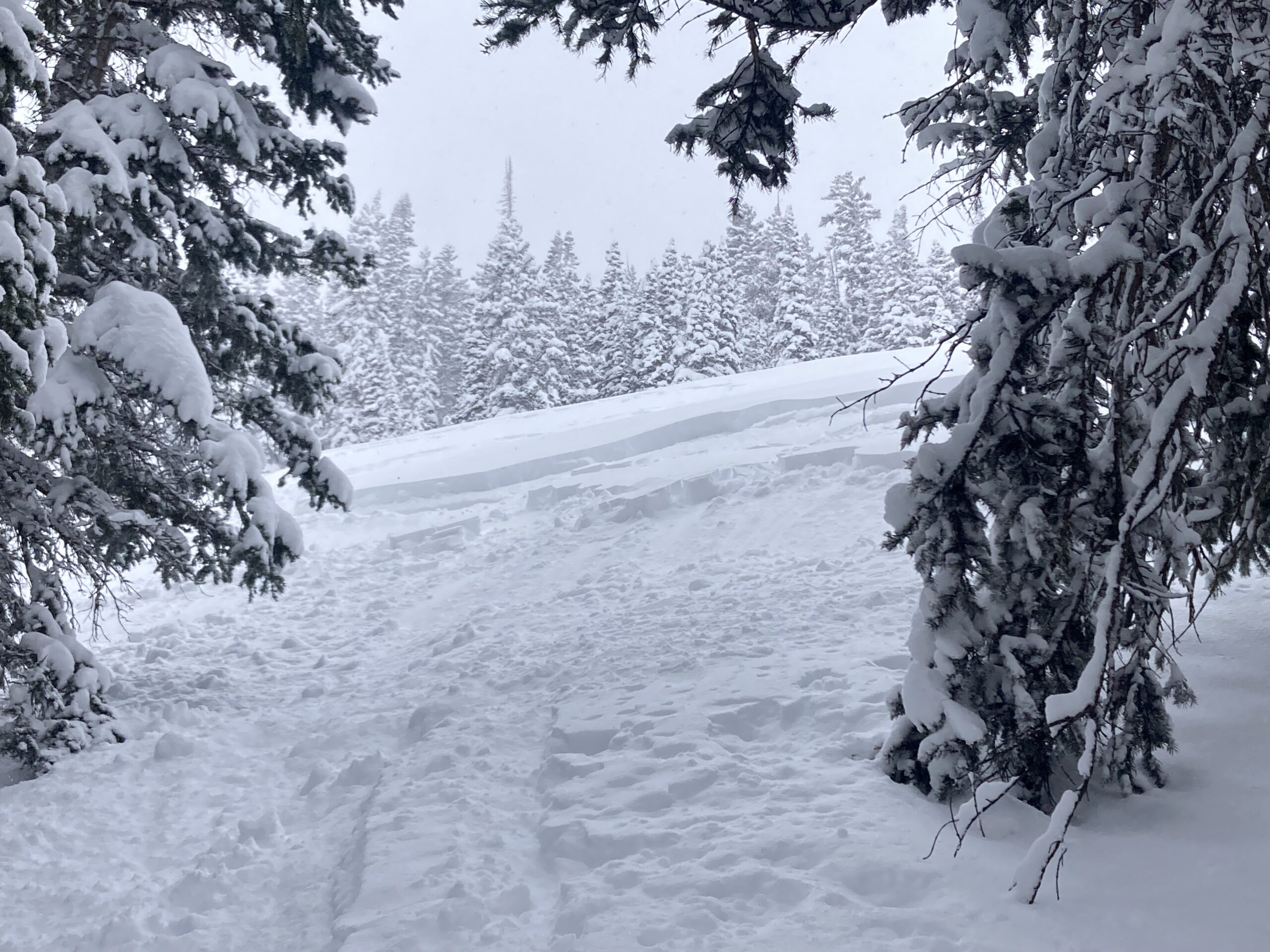
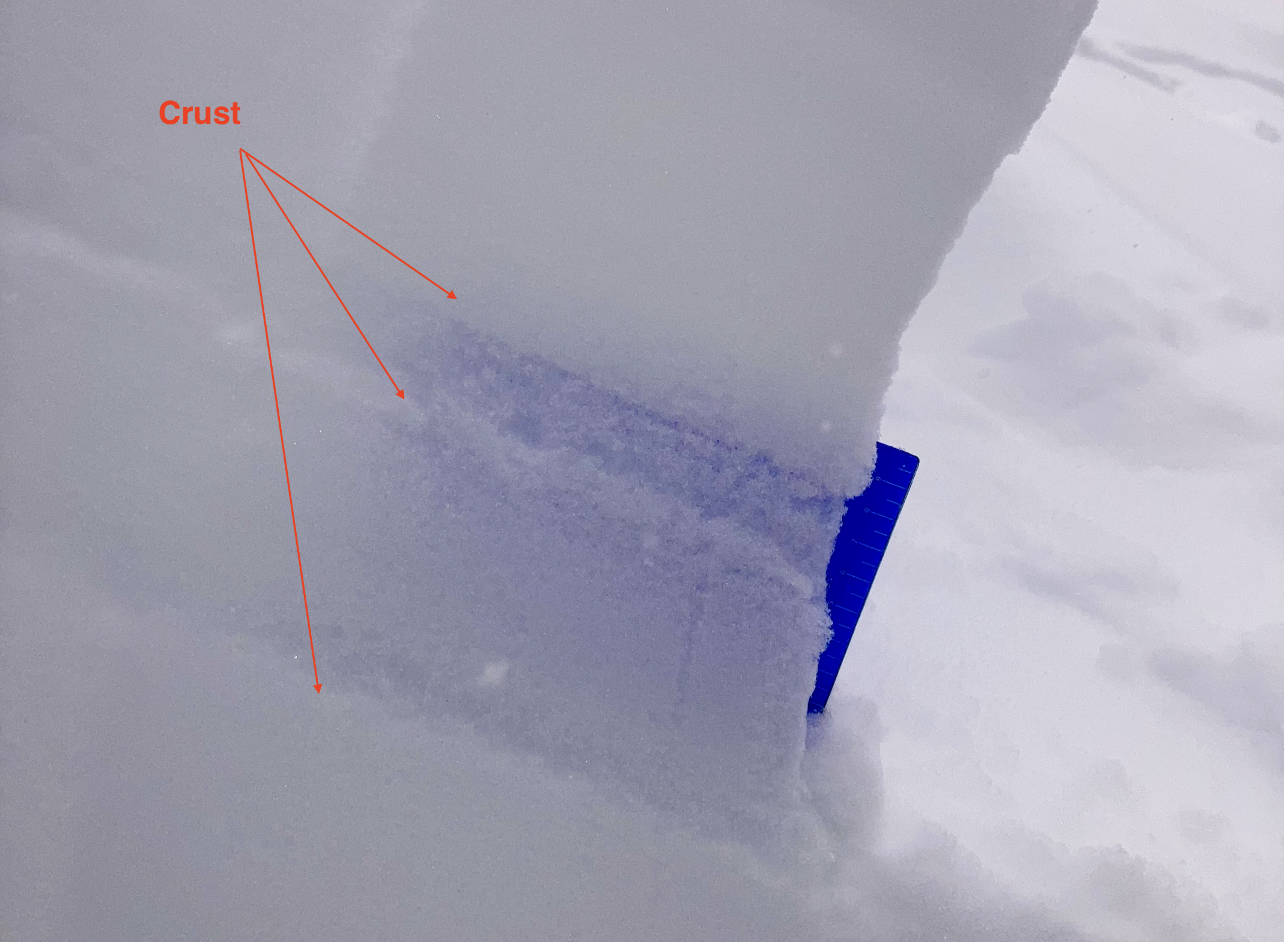
I took another look at the recently triggered avalanche in Red Lady Glades. As previously reported, this avalanche released on a thin layer of facets above a crust. More specifically there was a stack of crusts that likely formed between about February 9th to February 13th. Between these 3 crusts, there are layers of small facets of varying weakness. The avalanche failed in this stack of crusts and ran on the lower of the 3 crusts. Currently, on wind-loaded slopes and during the next loading event, these interfaces look capable of producing persistent slab avalanche activity.
Of other note was the continued blowing snow at NTL elevations through mid-day.
Photos: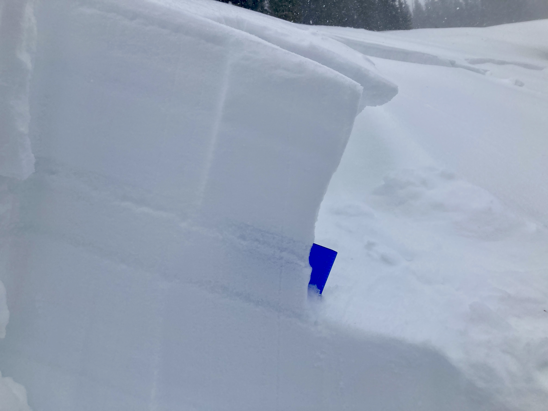
-
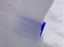
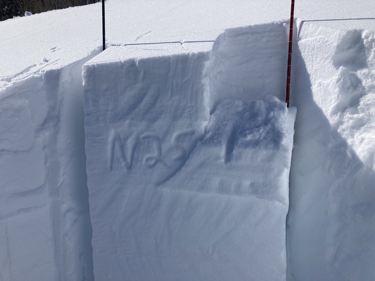
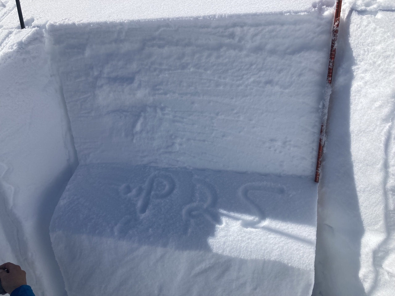
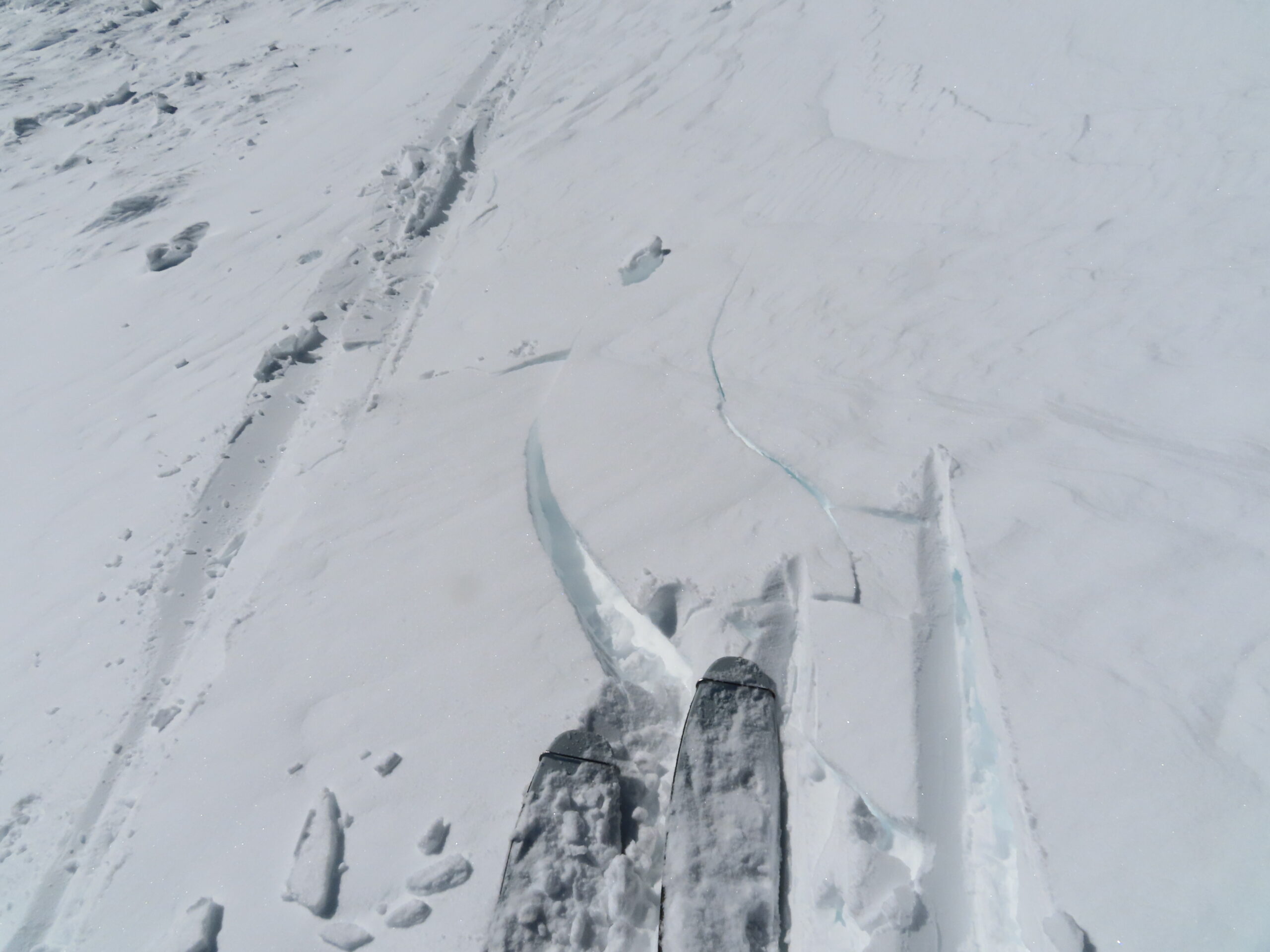
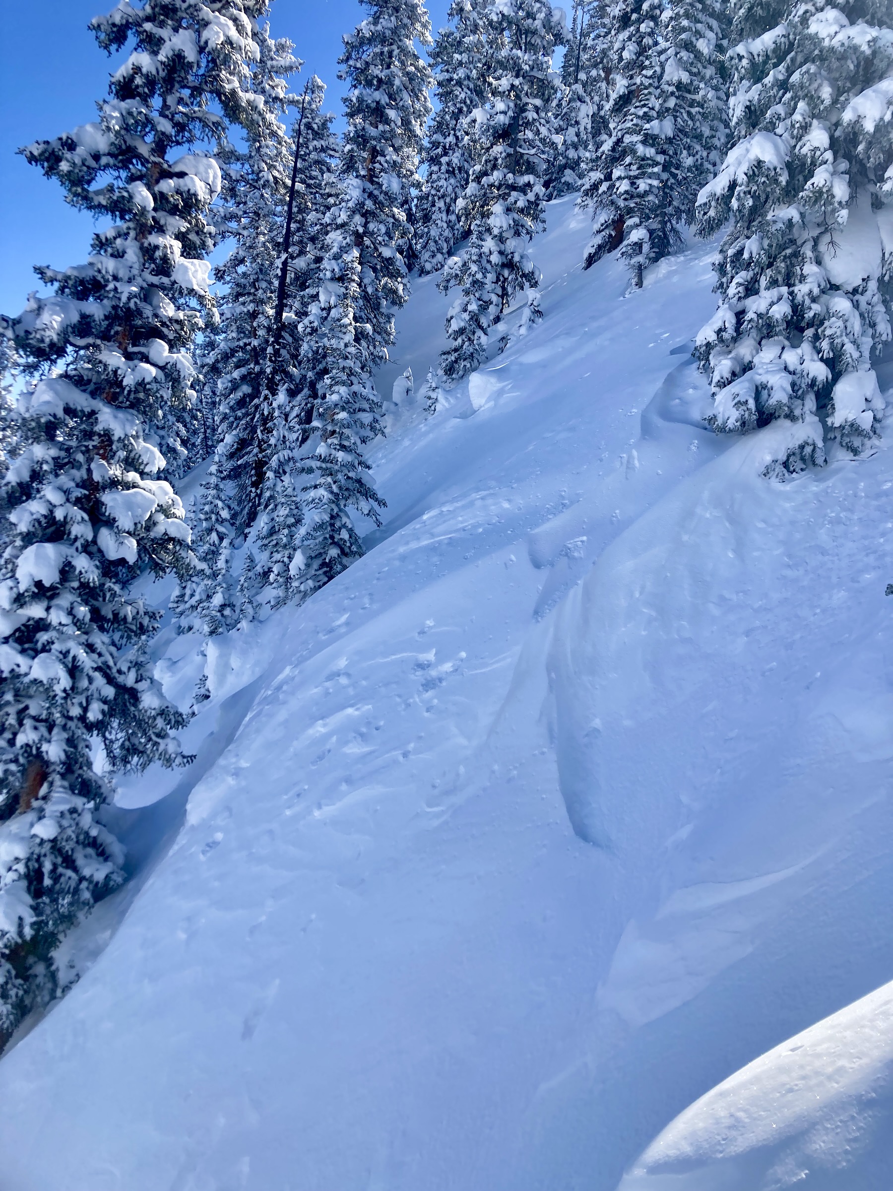
- Triple crust stack with multiple layers of small facets in the crown of the remotely triggered avalanche reported on Sunday.
-

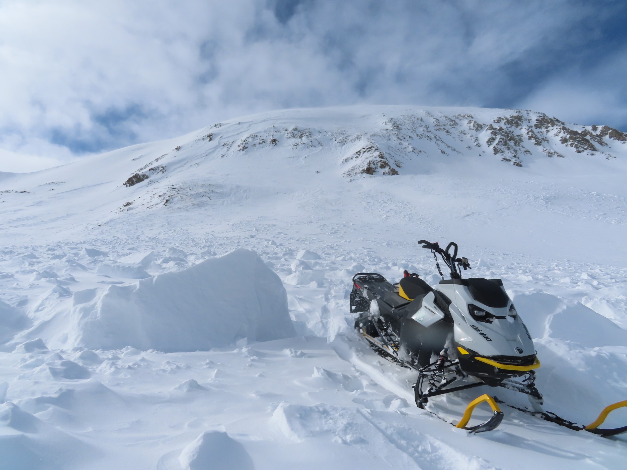
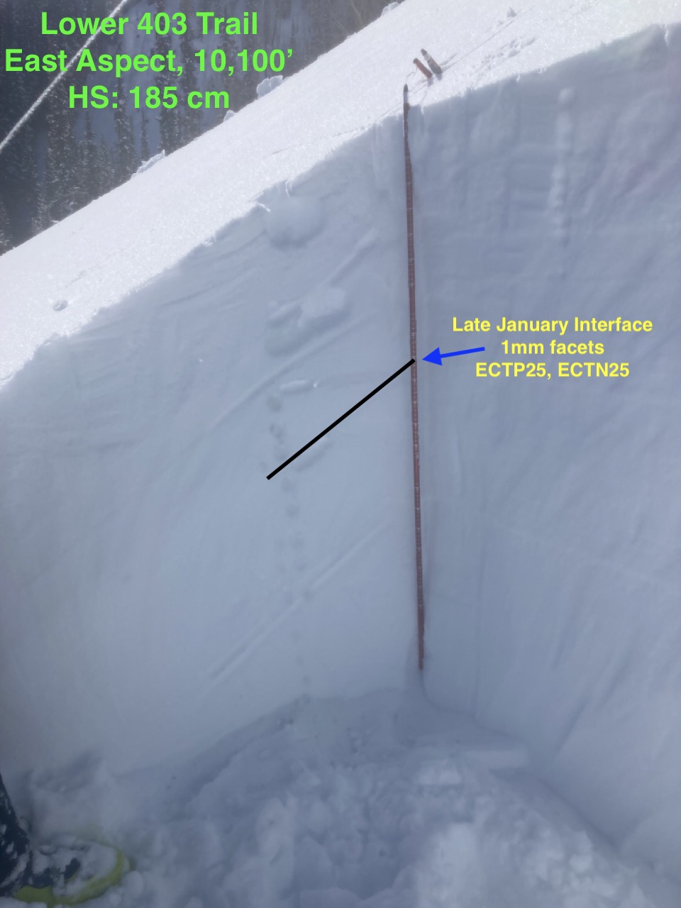
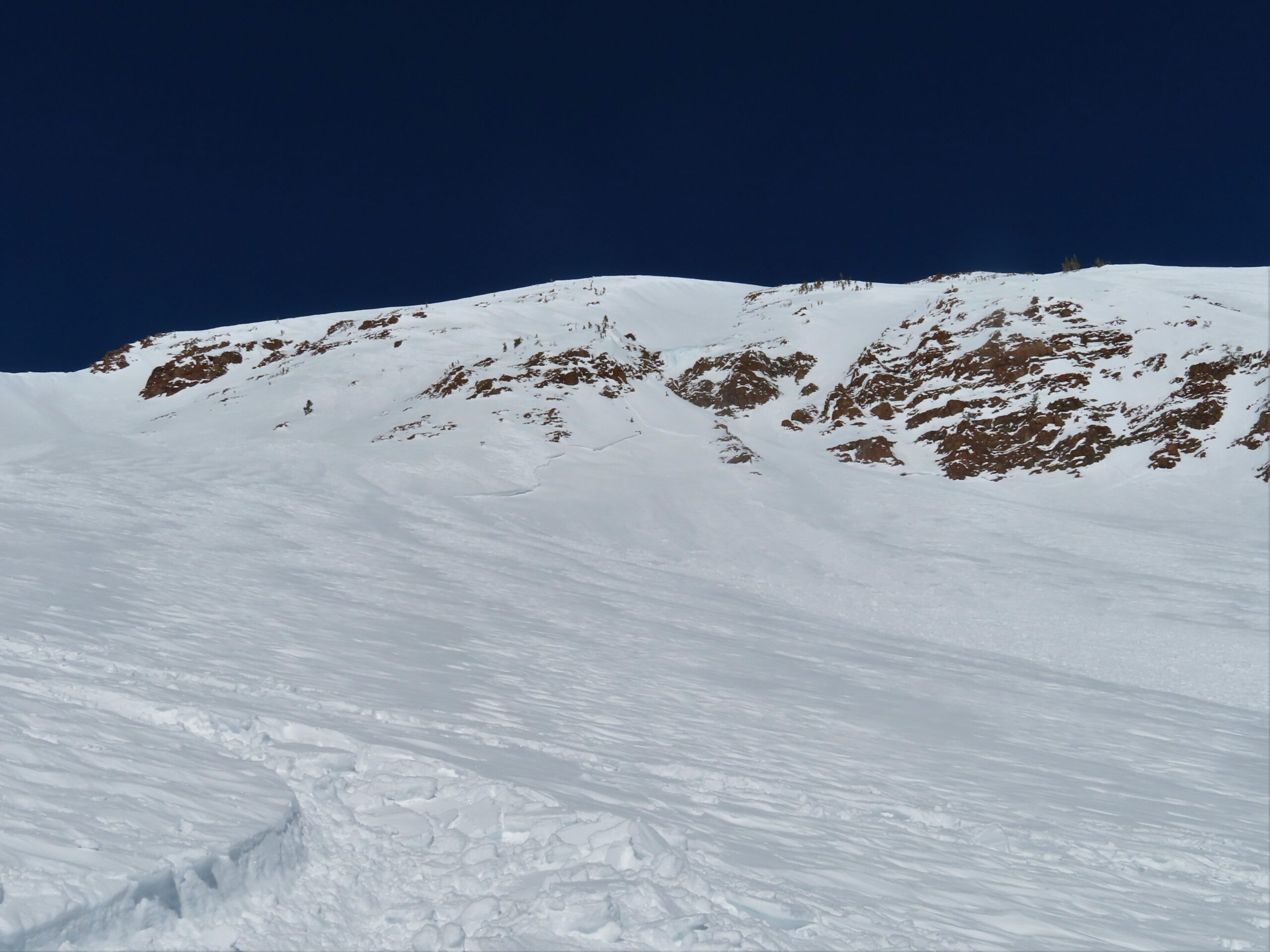
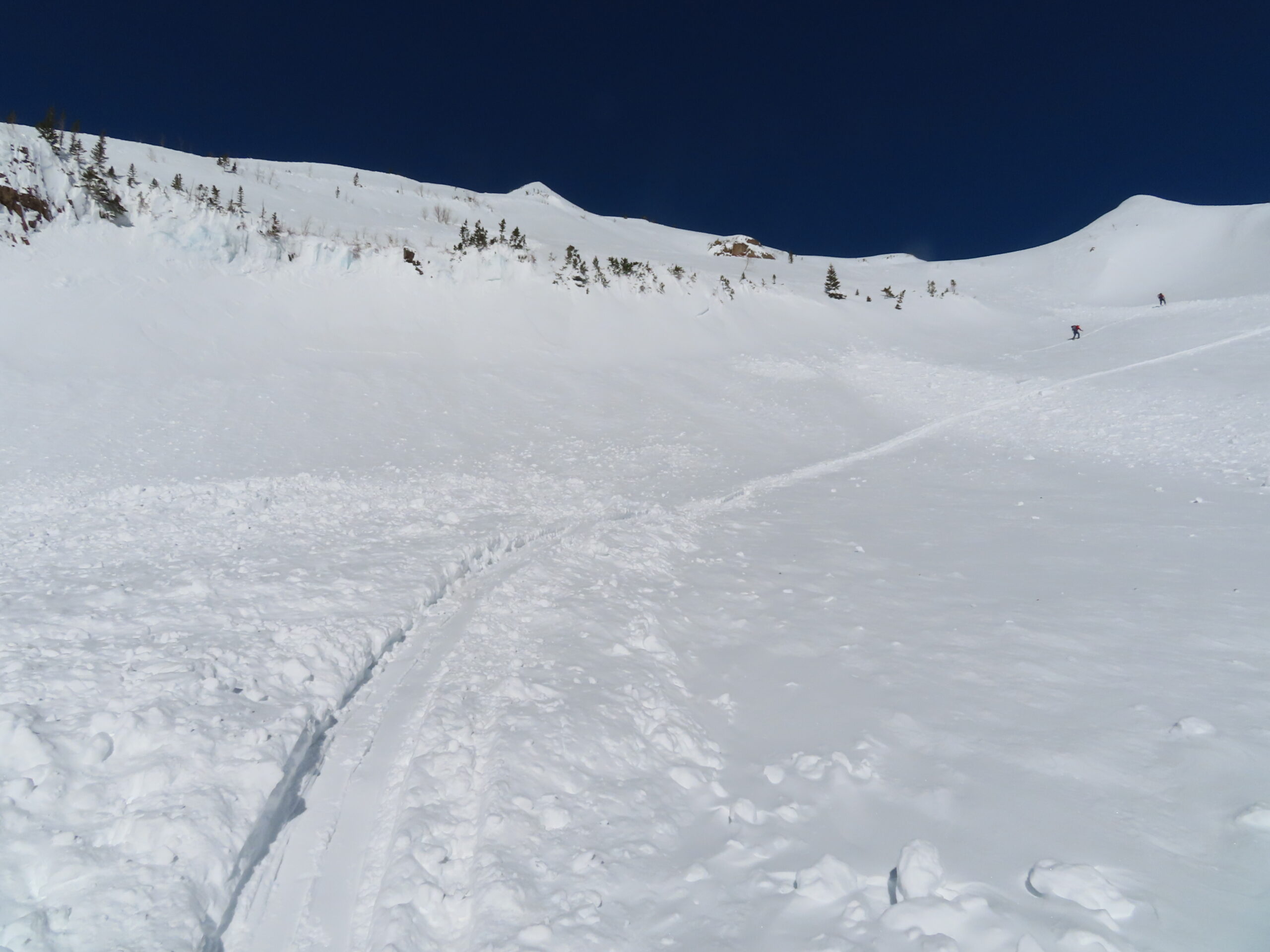
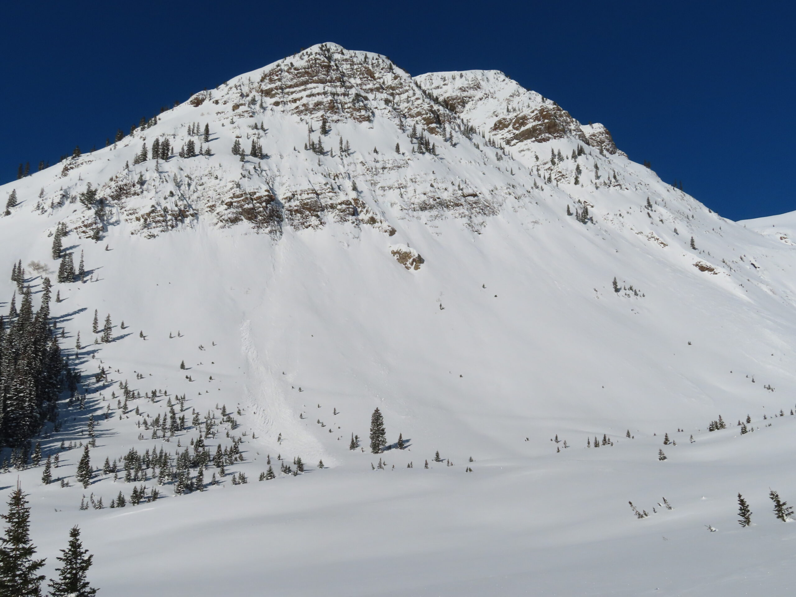
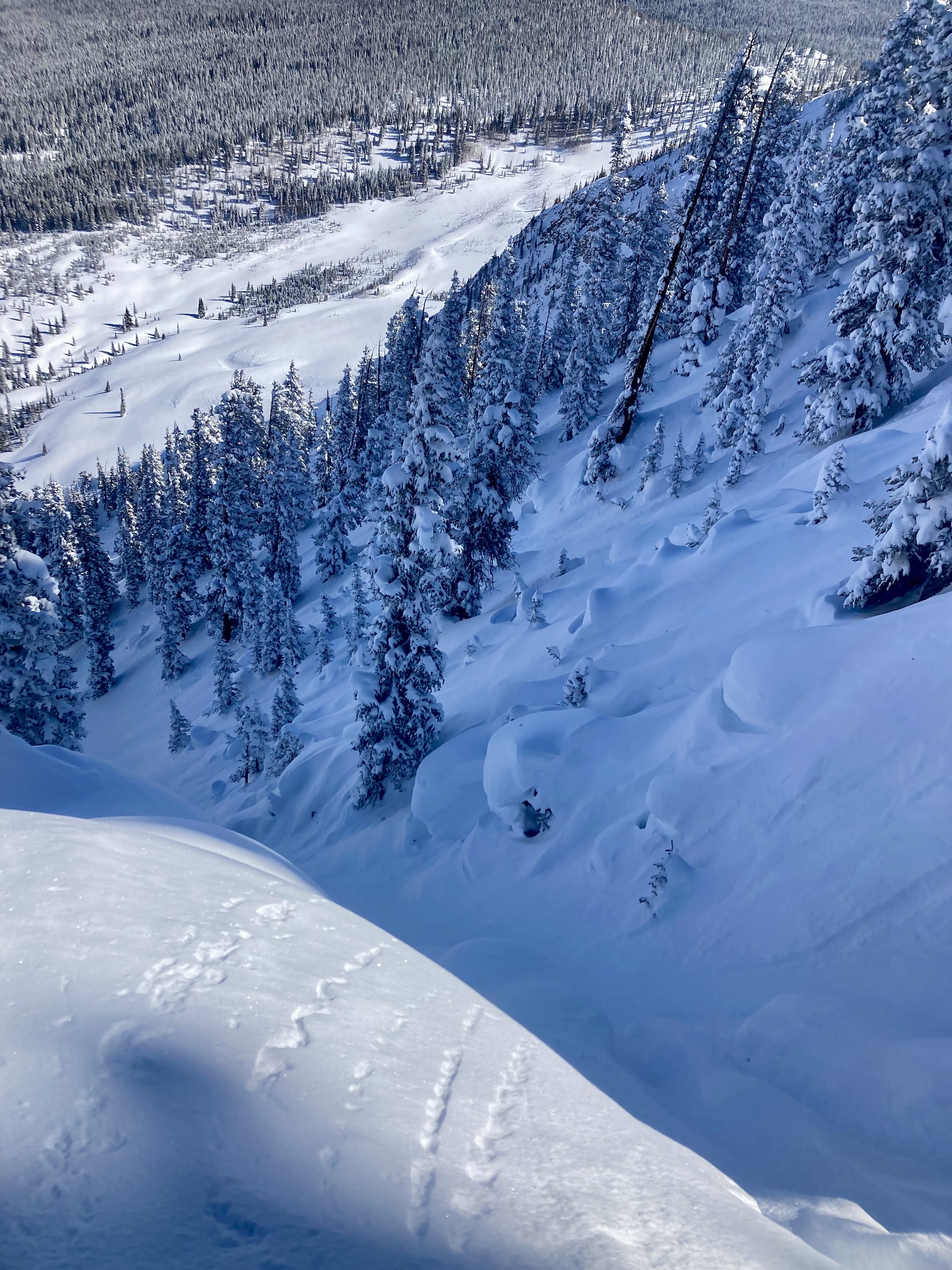
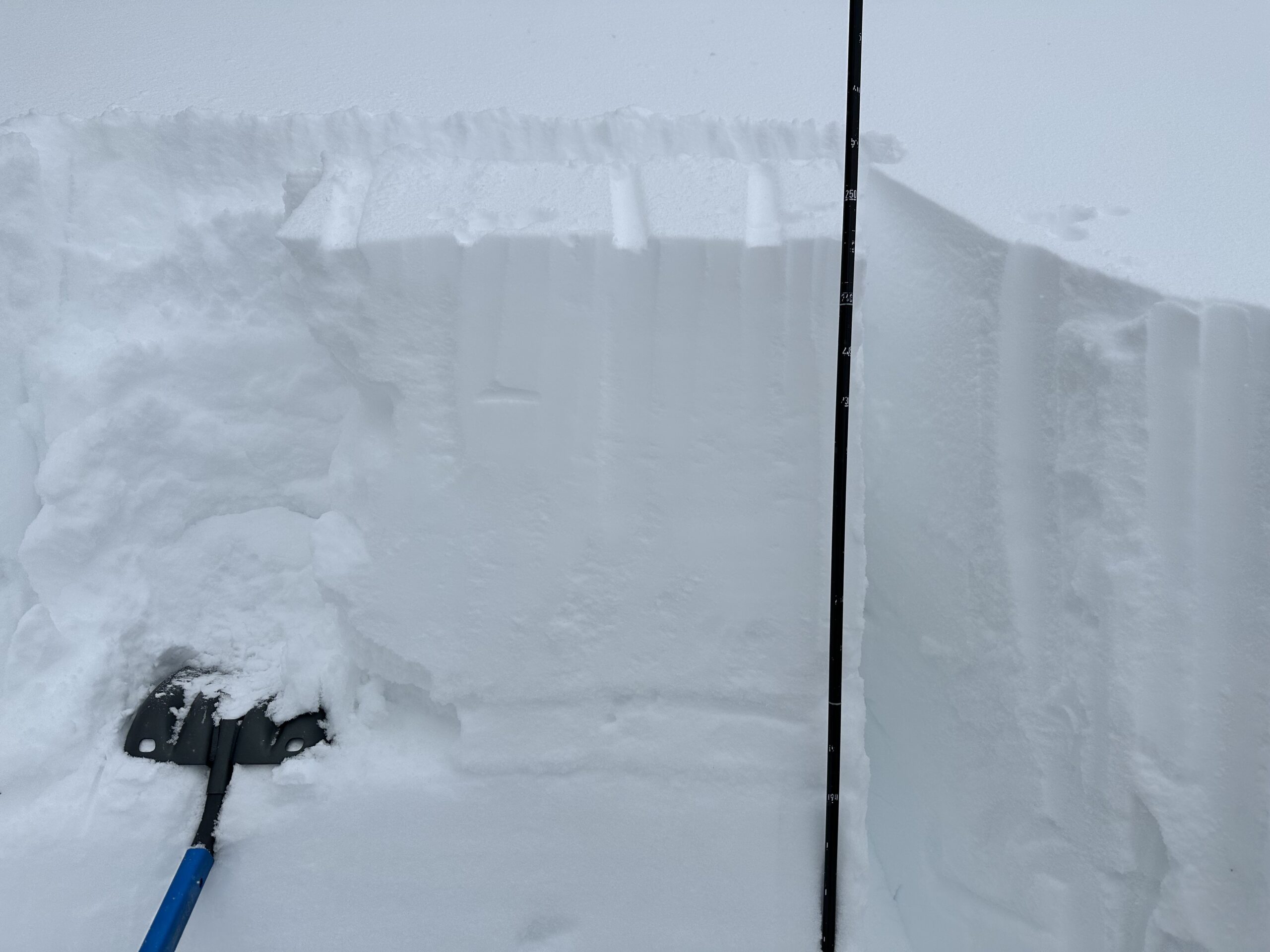
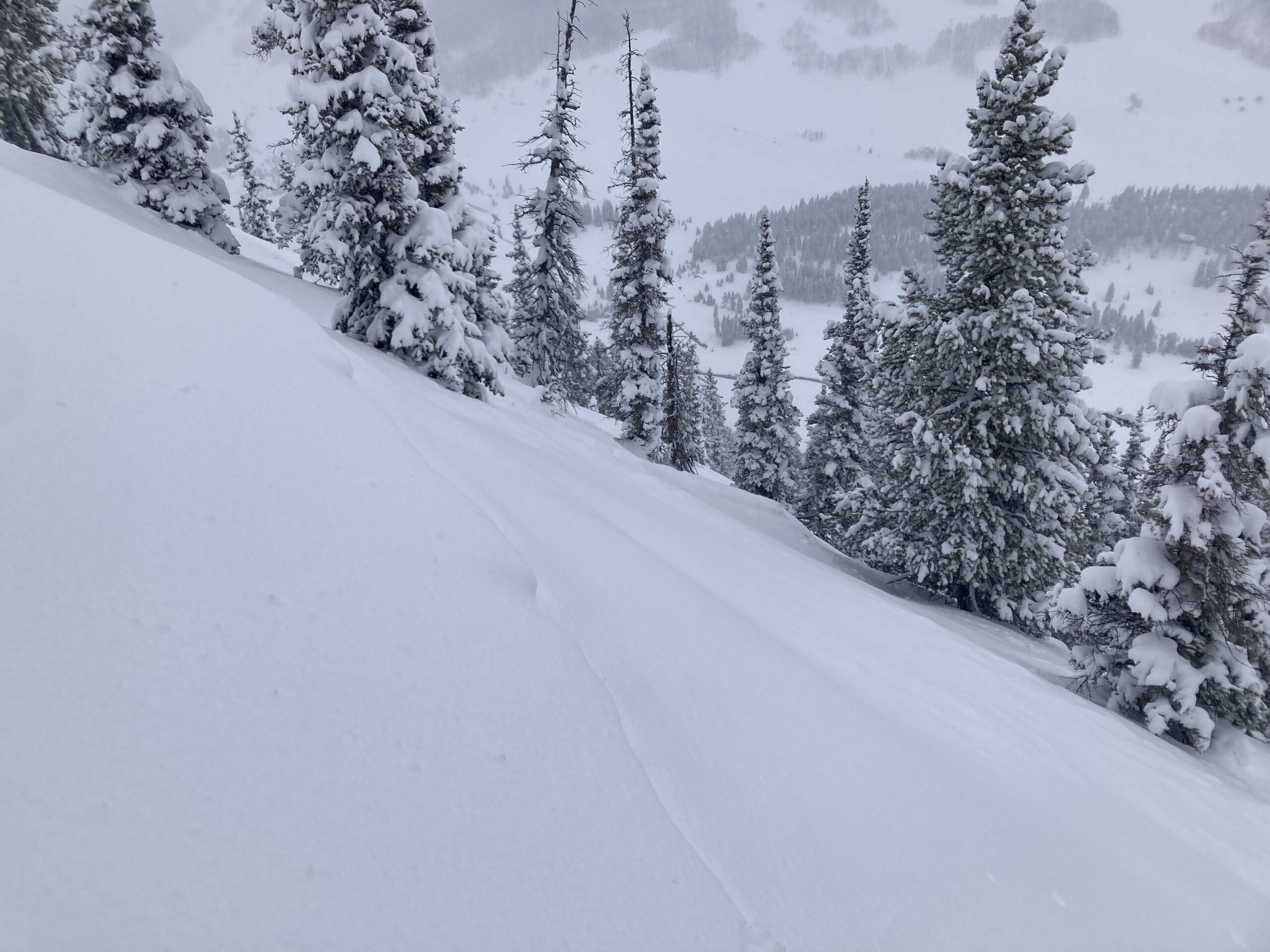
- East, 10,900ft, 35-degree slope. In the upper snowpack a layer of NSF and a faceted soft crust with be the primary weak layers during the next loading event.

-

- Red Coon Bowl. Natural avalanche estimated 2/19 or early 2/20.