Name: Ross
DATE: 2014-12-28
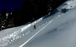
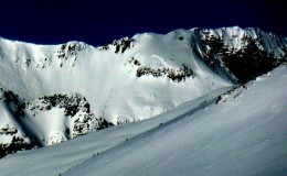
ACTIVITY: Level One Avy Course, Tour Day
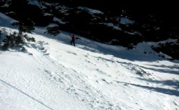
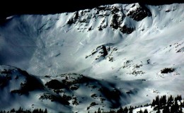
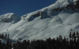
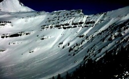
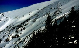
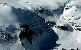
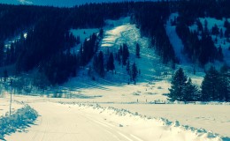
LOCATION: Evans Basin
ELEVATION: 9200′ – 11,600′
ASPECT: S – SW
WEATHER: Overcast , snowing throughout the day mostly S1 with S2 in the afternoon, Light wind at lower elevations, with wind picking up at higher elevations above 11,000′. Cold
SNOWPACK/AVALANCHE OBS: In shaded areas snow is faceted at the ground and other more solar facing areas a variety of crusts exist deeper in the pack No signs of avalanches or instabilities. Ski pen 15cm. Good skiing. Stayed away from 30 degrees and steeper with the avy class. Wind crust in open areas present from the last wind event but getting buried by the new snow.