Location: Paradise Divide Area
Date of Observation: 01/04/2020
Name: Eric Murrow
Subject: Paradise Divide – natural avalanches
Aspect: North, North East, East, South East, South, South West, West, North West
Elevation: 8900′ – 12000′
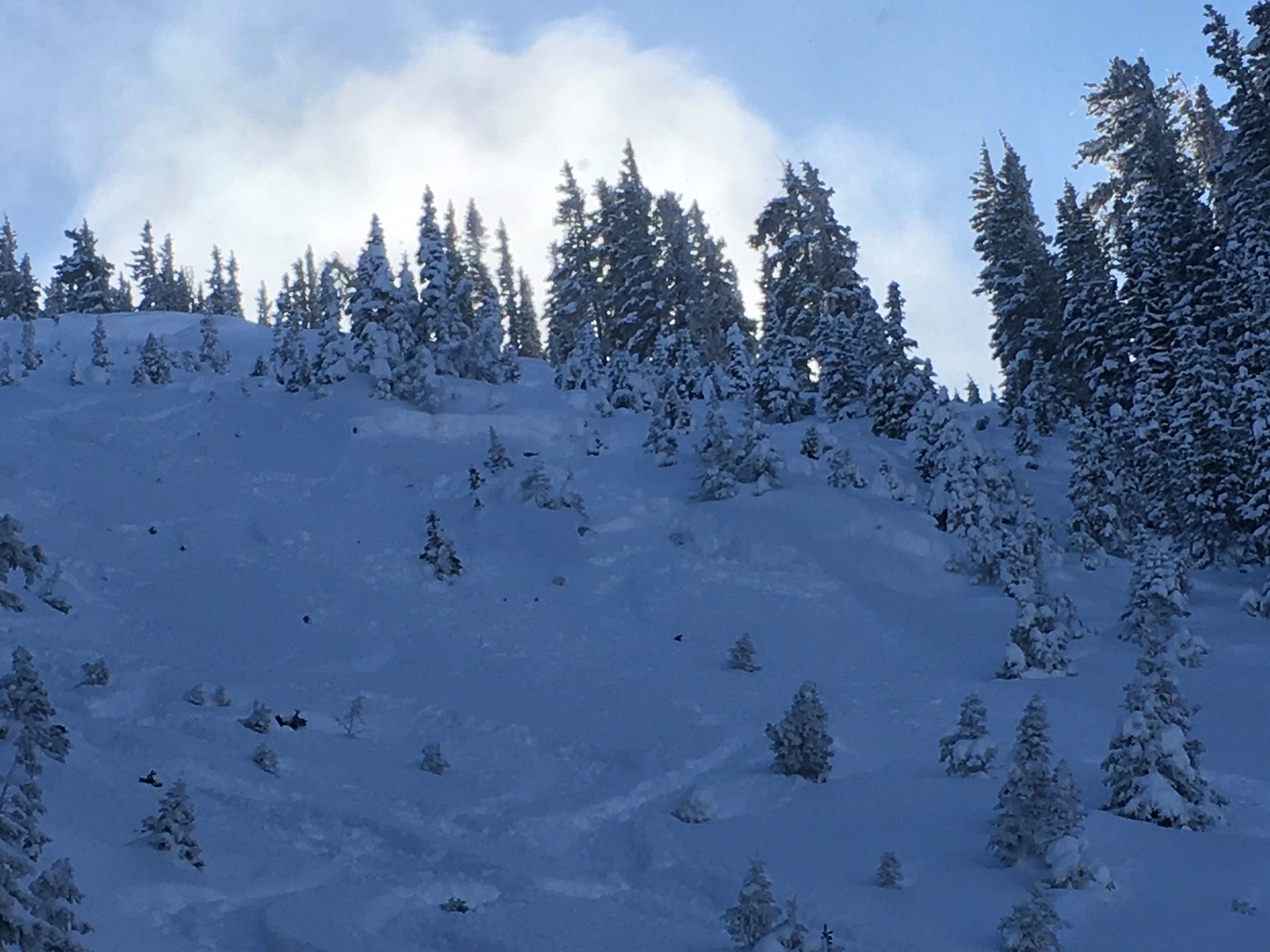
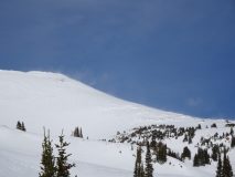
Avalanches: Hand full of natural avalanches from the past 24 hours. Several Wind Slabs and a couple of deeper, dangerous Persistent Slab. Good views down the spine of Ruby Mountains without seeing other significant recent naturals on E and NE aspects.
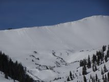
Gothic D2.5, West, NTL
Purple Ridge D2, East, ATL
D1, East, ATL x 3
Elkton Knob D1.5, West, NTL
Weather: Pleasant air temperatures, mostly sunny skies with moderate winds near and above treeline. Winds shifted from NW to almost SW throughout the day. As winds changed directions more snow transport was visible in the afternoon.
Snowpack: Traveled through east – south – southwest aspects below and near treeline in open terrain. Surface was a mix of smooth, breaker windboard and soft, textured dapple. While traveling above drifted near treeline, easterly terrain found stiff, pencil wind slabs up to 50cm thick. Stomped on a couple of these stiff wind slabs without result, but certainly avoided skiing on these in avalanche terrain. Our group of 5 regrouped on a low angled, drifted southwest facing slope and produced a deep, loud, and slope scale collapse. No crack was present but it seems like the collapse was on basal weak layers not the crust buried around Christmas time; HS was around 120cm. Drifted sunny slopes near treeline have begun to develop a slab resting above facet/crust combinations but are limited to wind loaded features.
Photos:
-
-
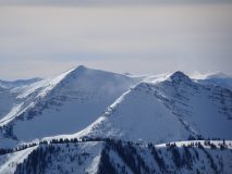
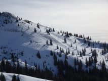
Drifting on Peeler Pk
-
-
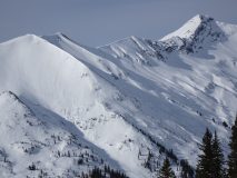
Fresh Wind Slab avalanches on Purple Ridge, east
-
-
Dangerous Windslab triggered deep, PSa on west aspect of Gothic
-
-
Small avalanche on West aspect of Elkton Knob
-
-
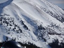
Large, dangerous avalanche on drifted east aspect Purple Ridge
-
-
Drifting on Baldy