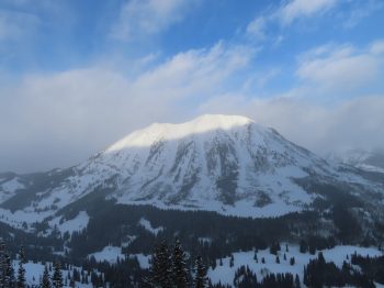
Location: Kebler Pass Area
Date of Observation: 01/23/2020
Name: Irwin Snow Safety Teams
Subject: Irwin Cat Obs
Aspect: East, South East, South, South West, West
Elevation: 10-12,000ft
Avalanches:
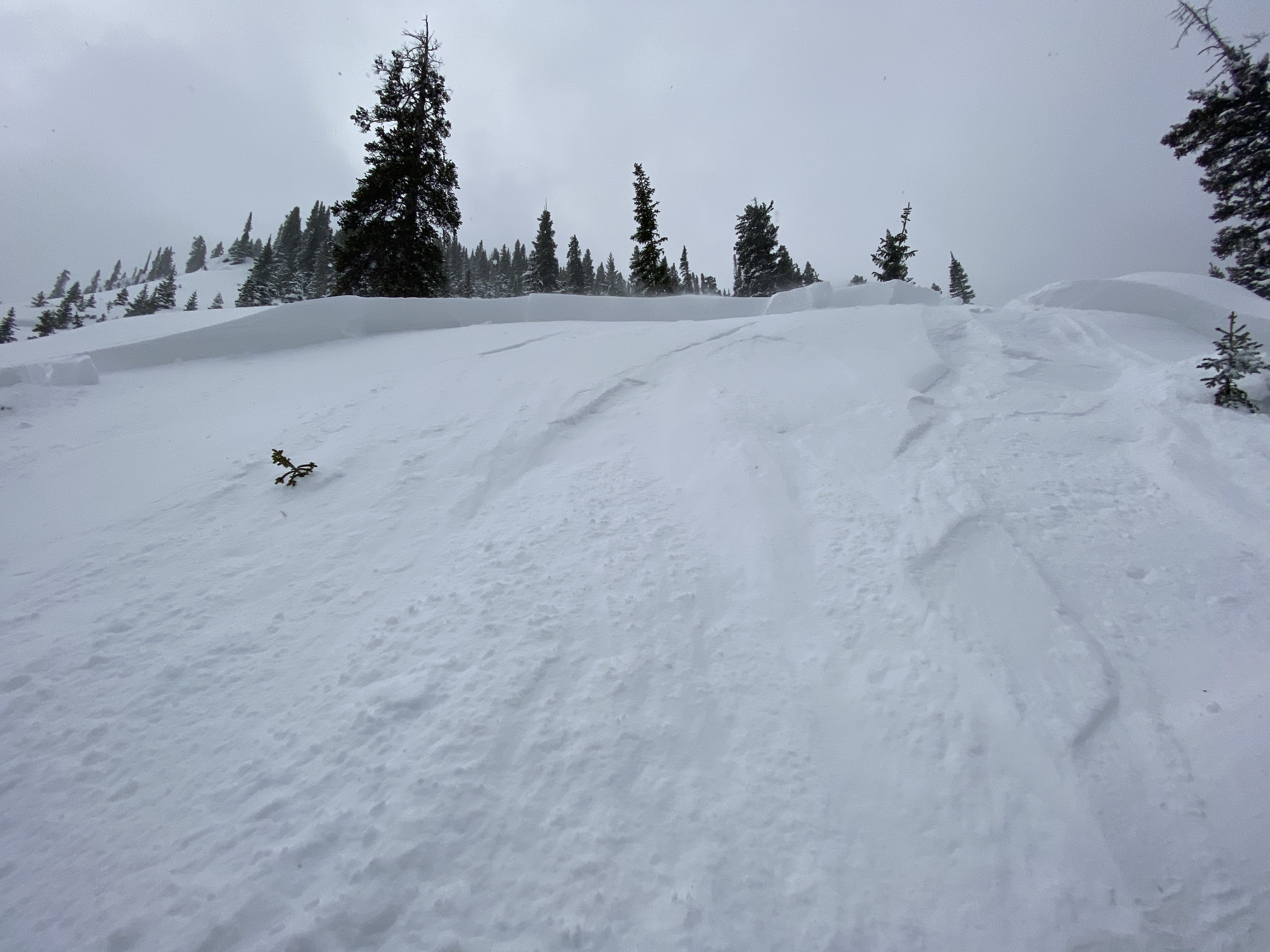
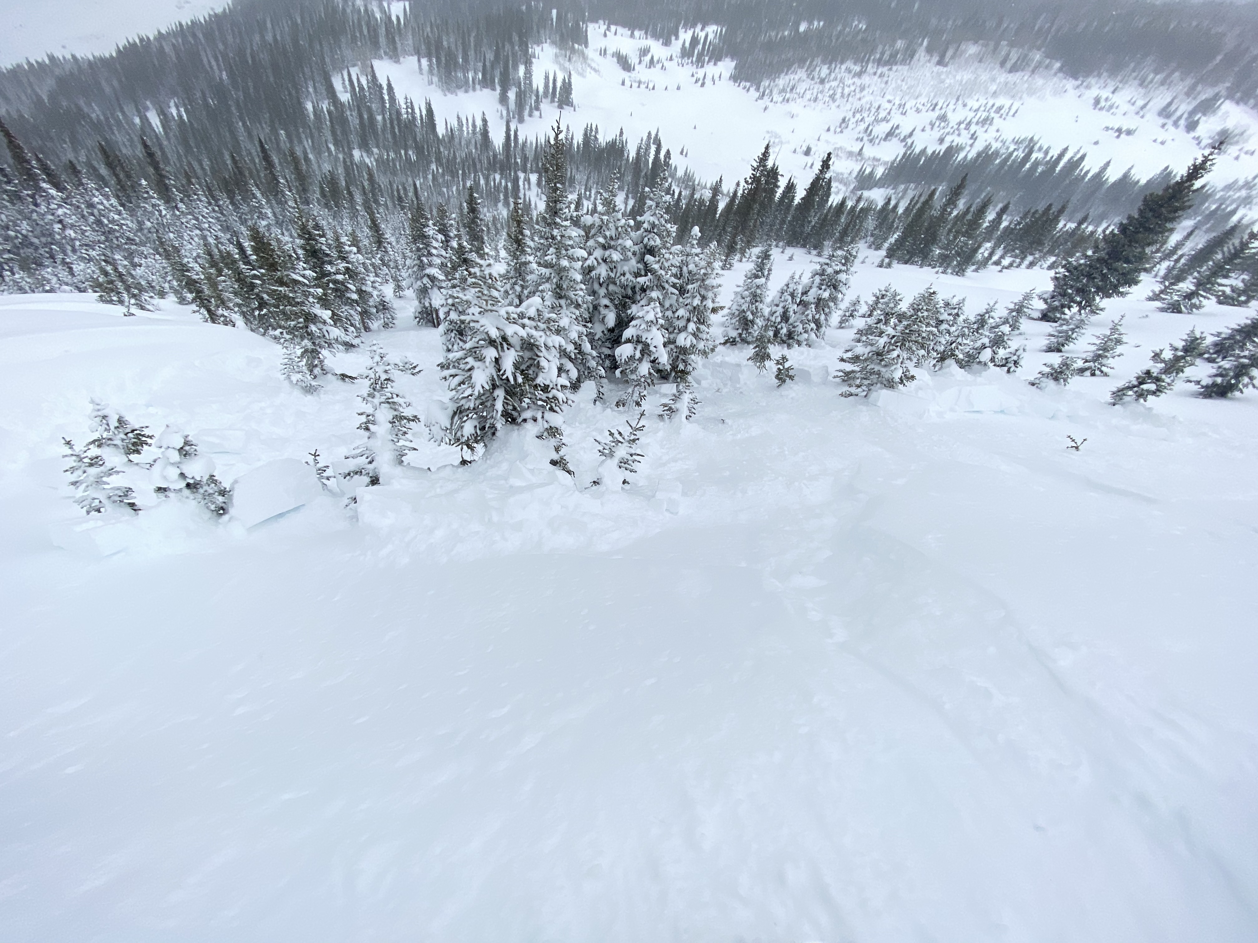
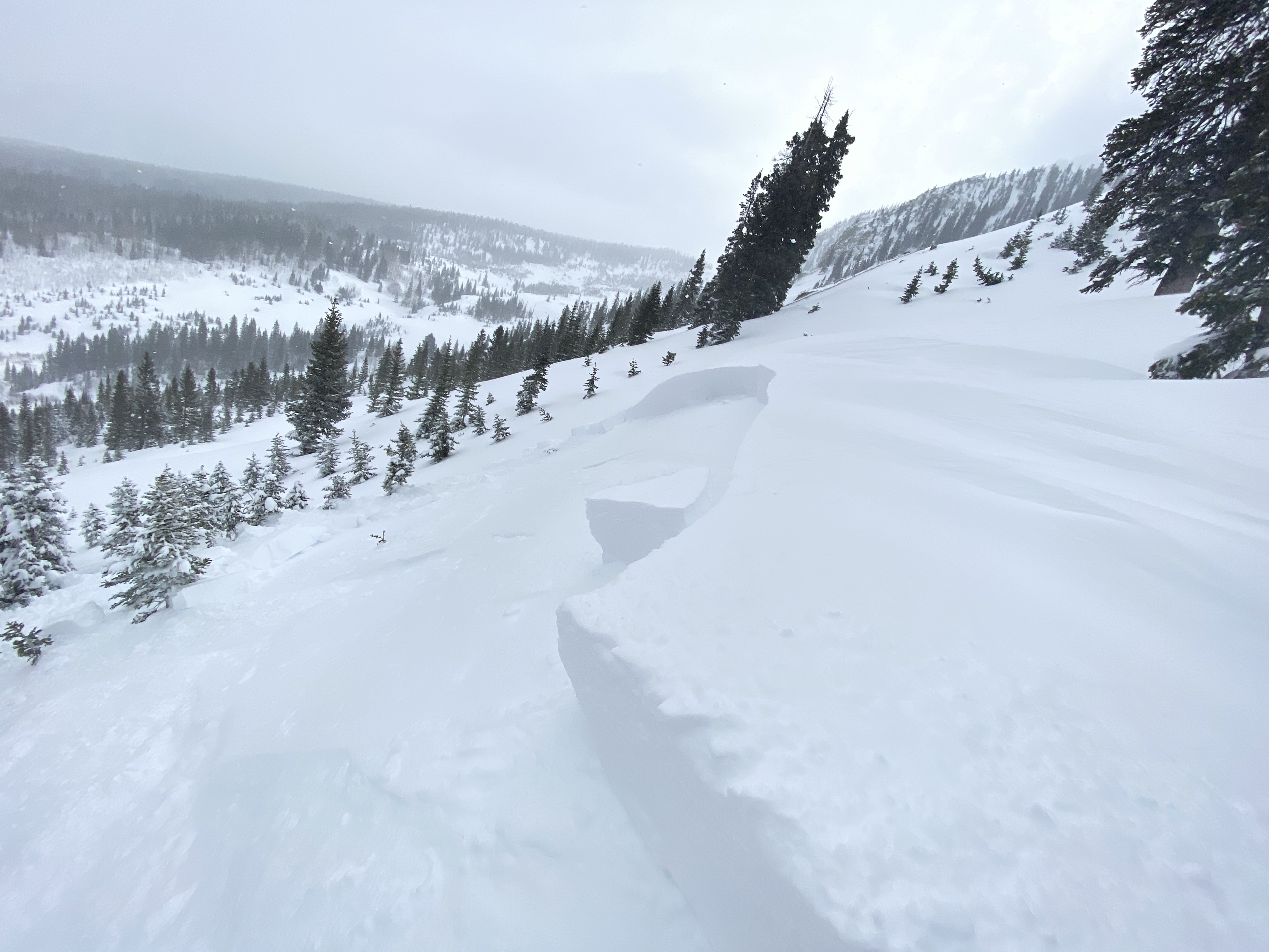
Widespread cracking and avalanching of the overnight snow, notable results in 2 Chutes, Outer Limits, Assassin Pockets, and 207. Persistent slab avalanche R2/D1 100cm x 15m x 50m (HS:135) Round Two under OL; either natural this morning or remote triggered by group in Widow Maker. This feature received explosive testing last week. CT23(RES)@35cm on the crown face. Impressive crown face, slab depth tapered rapidly on flanks limiting D potential. Several PS naturals in Peeler Basin.
Weather: OVC>BKN, 10-20 deg, NW 5-15 g20-30 at Ridge (notably lower BTL) Snowfall continued through midday, skies began to break ~1400. 4" new during day, 25" storm total with 1.8" SWE (!!)
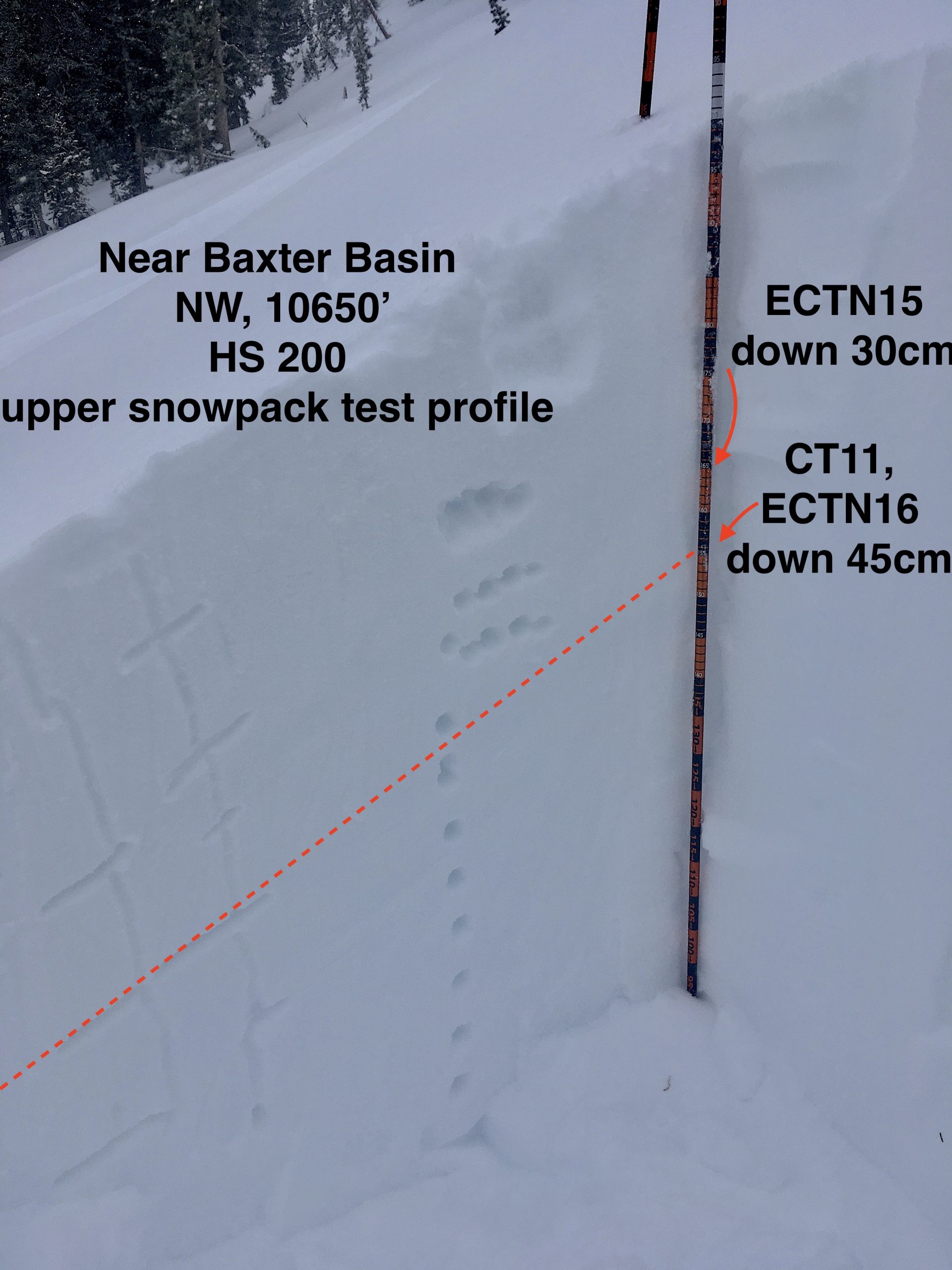
Snowpack: Excellent snow surface quality even on solar aspects. 01/22 HN seems well bonded to the underlying layer, but 1/23 HN interface produced easy storm slab fractures on West in terrain that was not disturbed yesterday. Persistent slab problem is activating.