Location: Crested Butte Area
Date of Observation: 03/10/2016
Name: Zach Guy
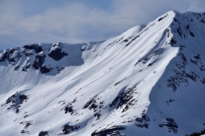
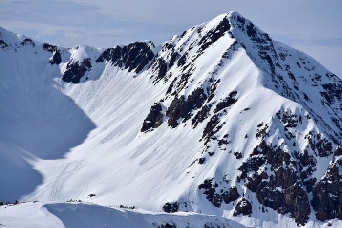
Subject: Whetstone
Aspect: North East, East, South East, South
Elevation: 8,800 – 12,100
Avalanches: None in this area. Observed a handful of fresh wet loose today further up valley in areas that had more snow from the last storm (Mineral Pt, Mt. CB, White Mtn, etc) on SE, S, SW, and W aspects N/ATL, all D1 to D1.5 in size.
Weather: Warm temps. Measured 34*F at 12,100 ft at 14:30. Calm to light breeze from the west. A few thin clouds.
Snowpack: See video. 2-4″ of settled storm snow was not enough to cause any real concerns for wet loose or our new layer of persistent slabs over the 3/6 facets in this area. On SE and S facing slopes, the recent storm snow became wet and consolidated to less than an inch thick above the still frozen 3/6 crust/dust layer without any rollerballs. On the most windloaded ATL slopes facing NE, there was 8″ of F+ settled snow over the 3/6 facet layer, and we did not see signs of instability or get any results on this layer in a pit. I probed around on several E and NE facing slopes above treeline and found a widely variable structure, generally shallow. Profile from a somewhat representative location below.
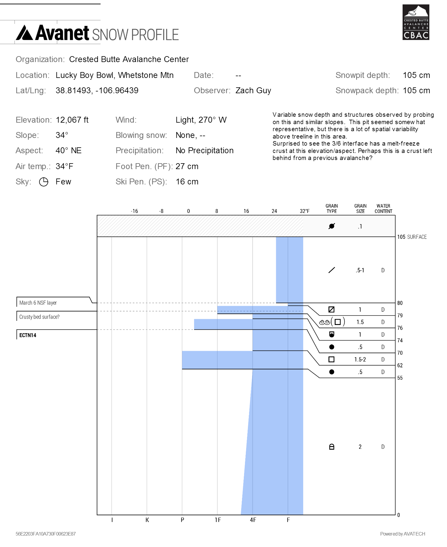
3/10. Snow profile on NE aspect ATL of Whetstone Mtn
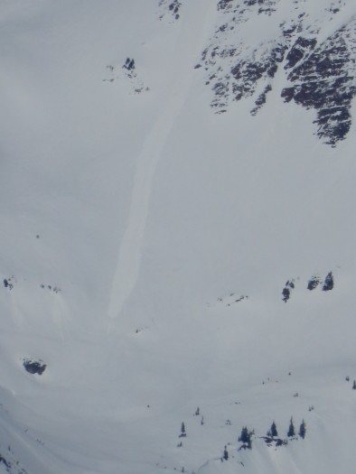
Natural wet loose off of S face of Mineral Point