Mountain Weather 2/27/2017

CB Avalanche CenterWeather

Date: 02/27/2017

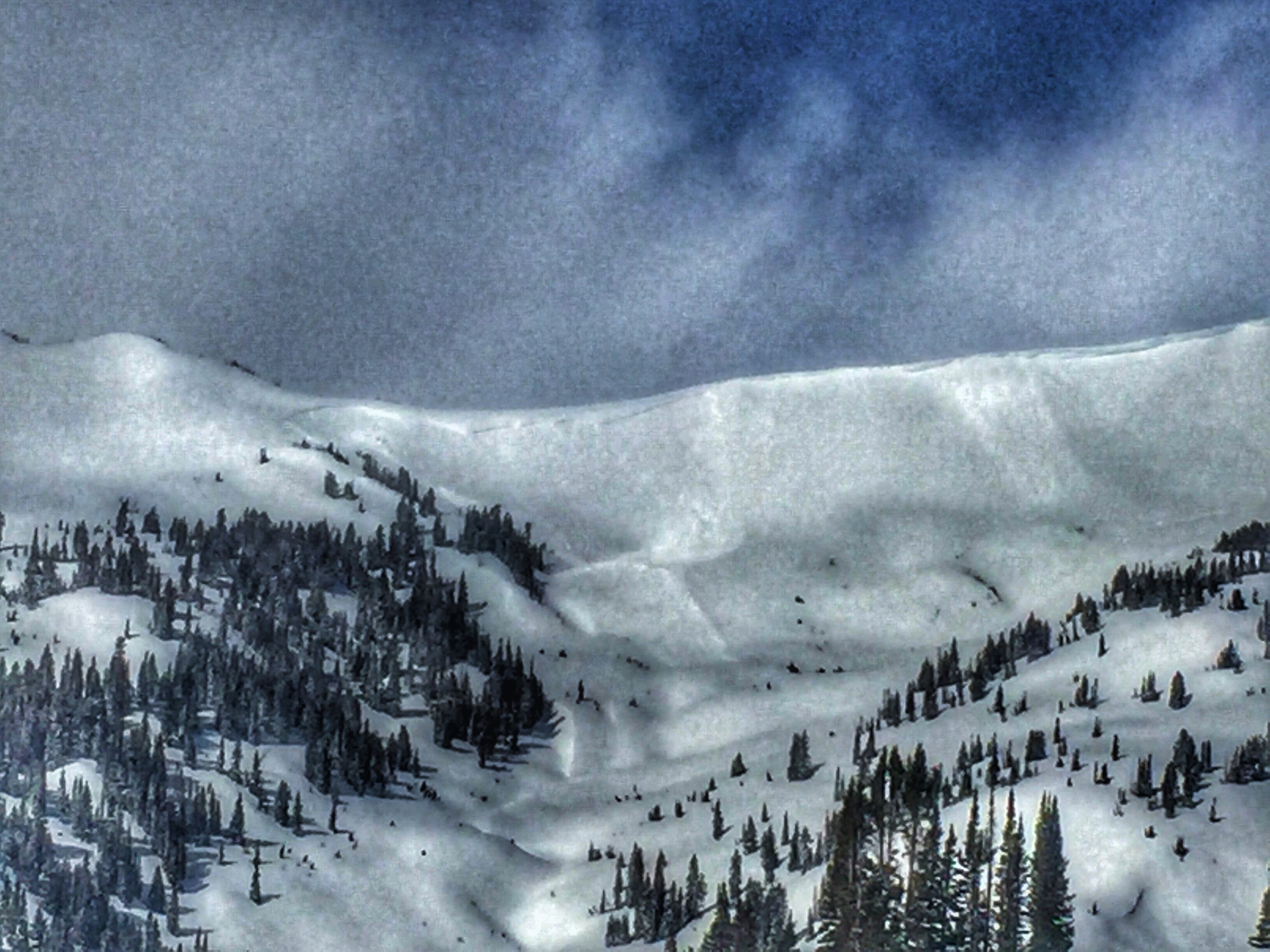
The cold part of winter has come back, now lets add the snow. Snow showers will slowly increase in intensity this afternoon before peeking Monday night. An upper-level trough of low pressure is dropping southeast to Colorado as a cold front also moves in north of us tonight. The jet stream will further add instability aloft while subtropical moisture increase from the southwest. This combination will add up to a blustery winter storm starting late this afternoon. Snowfall continues through Tuesday, before the flow aloft turns northwest on Wednesday and begins to dry out. We could look at a blanket statement 12-22” of snow out of this storm. Strong winds will also be drifting and redistributing this new snow.

Small soft slab

CB Avalanche Center2016-17 Observations

Location: Crested Butte Area
Date of Observation: 02/27/2017
Name: Evan Ross
Subject:
Aspect: South East
Elevation: 9,200-11,400

Avalanches:
Weather: Mostly clear sky became partly cloudy in the afternoon. We were mostly protected from winds, but they certainly picked up int the afternoon with plums off the high peaks and swirling snow in the glades above 10,500.
Snowpack: Didn’t travel in avalanche terrain. About 15cm’s of new snow from the last week. At 10,800ft on a south facing 30 degree slope the crust below the most recent snows was stout. On lower angled slopes at 11,200ft the crust facet sandwich was there, but not as concerning looking as seen in other places.

Kicked a cornice off low on coon ridge. It slid down to below the windload and released a small 20ft wide soft slab, 25cms deep, probably on the buried near surface facets. The weakness is there, just needs more of a slab to propagate.

Pittsburg

CB Avalanche Center2016-17 Observations

Location: Paradise Divide Area
Date of Observation: 02/26/2017
Subject: Pittsburg
Aspect: East
Elevation: Below Tree Line

Avalanches: Unintentional skier triggered 8-10″ soft slab on crust (storm snow/wind affected?) breaking on 30+ degree rollover below treeline. Propagated ~60 feet across and slowly ran down slope behind skier ~300′ before stopping on bench. East/Northeast facing slope to skiers right of Pittsburg proper.
Weather: Cold, sunny most of day with light clouds moving in midafternoon, light wind with stronger gusts visible transporting snow above treeline, no precipitation.
Snowpack: Boottop creamy snow skied great.

IMG_4043

Emmons

CB Avalanche Center2016-17 Observations

Location: Crested Butte Area
Date of Observation: 02/27/2017
Name: Donny Roth
Subject: Emmons
Aspect: North, South East
Elevation: 9,200-12,100

Avalanches:
Weather: Mostly clear skies throughout the day with all surrounding mountains shrouded at some point during the day. No new precip. Cold! Strong winds out of the west and channeling through lower gullies.
Snowpack: Snow on southern aspects was settling fast with today’s strong radiation. The strong winds were moving lots of snow, but much of seemed to sublimate into the atmosphere, rather than load particular slopes. All aspects of Redwell were being wind hardened as the wind was blowing straight up the valley. The slab was stiffening as the day progressed. We saw no signs of instabilities.

Mount Baldy

CB Avalanche Center2016-17 Observations

Location: Paradise Divide Area
Date of Observation: 02/26/2017
Name: Ian Havlick
Subject: Mount Baldy
Aspect: East, South, South West
Elevation: 9200-12600

Avalanches: Fresh, 2-4 foot deep windslab, naturally failing this morning on E-facing, Purple Ridge. Wide propagation, ~150ft wide? 11,600ft. D2.

Another smaller natural windslab failure on Schuykill Ridgeline, D1.
Weather: Scattered clouds, building mid day. NW winds increased during tour, 20-30 G40. Temperatures were cold, wildchills bitter. Temp on car at TH at 1000 was 2ºF. No precipitation.
Snowpack: Snow from last 3 days ranged from 6-36″ deep, heavily wind effected above treeline. Most terrain above treeline where I travelled was stripped clean to suncrusts and slick windboard. In lee and crossloaded sides of bowls and gullies the new snow was drifted up to 3ft deep.

Concerning Crust/facet/crust sandwich on all southerly slopes I travelled today, with numerous large collapses on 20-30º S-SW facing slopes. Dug two pits, revealed solid crust, 2-3mm facets, then another, more friable, fragile crust above holding the well bonded new snow. ECP6 SP on pit dug on steep, loaded bowl on Baldy. Needs more load, but could produce widely propagating slides in future.

Slide46
Slide45
FullSizeRender-4

No avalanche activity noted

CB Avalanche Center2016-17 Observations

Location: Kebler Pass Area
Date of Observation: 02/25/2017
Name: Steve Banks/ Mike Soucy
Subject: No avalanche activity noted
Aspect: North East
Elevation: 9,600 – 11,1000

Avalanches:
Weather: Cold. -11 in the valley. Light winds, no observed minimal blowing snow but mainly traveled in protected areas. Mostly cloudy sky became overcast to obscured with intermittent S1 snowfall through the day. Localized winds blowing upslope (from E/NE) in the afternoon.
Snowpack: HS of 250-300cms throughout the tour! Boot pen 40 cms ski pen 15 cms. Good supportive snowpack. Test profiles at 10,500 and 11,000 showed buried surface hoar (Jan 19) 85 cms down, laying flat, rounding and unreactive to tests including pulling hard in shovel shears. Buried NSFs found 45 cms down. Suspecting this is due to melt layer crystallization from new snow over wet surface when it started snowing (2/22). This layer was more concerning but still had inconsistent test results, likely due to the lack of overlying slab. This wind is working on building that slab though. Lighter density snow in the trees near the ridgetop become slightly more slabby at mid-elevation where the wind had more effect. Below 10,000 where the trees clear out the powder skiing turned variable with breakable wind and sun crusts.

No avalanche activity noted, nor any cracking or collapsing.

Mountain Weather 2/26/2017

CB Avalanche CenterWeather

Date: 02/26/2017

Clouds will decrease slightly today, compared to yesterday ,with the occasional very light snow shower. Sky will become overcast tonight as an upper level low pressure trough approaches. Southwesterly winds will also increase and become gusty as this flow brings increasing moisture. Snow showers Monday look to be mostly light, then pick up as we go into Monday night. We’ll see snow showers continues into Wednesday before a drying ridge develops.

Shooting cracks on wind pillow

CB Avalanche Center2016-17 Observations

Location: Crested Butte Area
Date of Observation: 02/25/2017
Name: Evan Ross
Subject: Managing terrain for windslabs
Aspect: North East, East
Elevation: 9,000 – 11,3000

Avalanches:
Weather: Light winds, no observed blowing snow but mainly traveled in protected areas. Mostly cloudy sky became overcast to obscured with s-1 snowfall in the afternoon.
Snowpack: More managing terrain for potential windslabs. NTL at the top of climax 15-30cm’s of new snow was resting on NSF. The new snow is getting close to becoming enough of a slab to have a more widespread problem at this elevation, but still additional wind-loading was necessary to create an avalanche problem. Jumping on one wind pillow produced shooting cracks for the width of the pillow but the slab didn’t budge on that feature.

BTL, the snowpack has potential concerns for when that elevation accumulates enough snow. NSF on northeasterly aspects and some facet crust sandwiches on more easterly aspects.

Wind slabs and crust/facet sandwich

CB Avalanche Center2016-17 Observations

Location: Kebler Pass Area
Date of Observation: 02/25/2017
Name: Zach Guy
Subject: Wind slabs and crust/facet sandwich
Aspect: East, South East, South, West
Elevation: 11,000-12,000 ft

Avalanches: On a cross-loaded east aspect at 11,500 ft, I skier triggered a 12″ deep, 30 ft wide wind slab, which broke on facets between 2 thin crusts. SS-ASc-R1-D1-O.
Weather: Cold! Temps stayed below 0F at high elevations. Winds picked up through the day, moderate to strong out of the west, transporting snow near ridge lines. Overcast/obscured skies.
Snowpack: The most recent storm snow (~8″) appeared to be bonding well to the crusty interface (2/22). No cracking or sluffing observed, even in thicker drifted areas. On southerly aspects, there is a crust/facet/crust sandwich below the storm interface, which became more concerning (due to thinner, softer crusts) the closer we turned towards north half of the rose (such as E and W aspects). This could become an issue with more loading.

E-aspect-Barkmarker

Coney’s

CB Avalanche Center2016-17 Observations, Snow Profiles

Location: Crested Butte Area
Date of Observation: 02/24/2017
Name: Steve Banks/Mike Soucy
Subject: Coney’s
Aspect: North East
Elevation: 9,600-10,800

Avalanches: Kicked off a large cornice resulting in a large collapse and widespread cracking but no avalanche release.
Weather: Cold! -8C at 13:00. S1 most of the day with periods of S2. Light NW/down valley winds. Little bits of broken sky but mostly OVC/OBS all day. Minimal snow transport observed
Snowpack: Very shallow, D1 fresh looking windslab failures noticed above Long Lake below large cornice 2-12” of storm snow. Blown out areas has an inch or two over crust, steeper slopes at higher elevation had good boot top snow. Very wind dependent. Not very slabby and no collapsing or cracking noted. Better skiing where the aspect was a bit more North and has less crust. Snow depths of 190-240 cms with deeper measurements at higher elevations. CTM 15 SP down 24cms below crust failing on grauple below the crust on NE slope 24° Buried SH found 105 down near the ridgtop, but looked flattened and rounded and unreactive.

20170224ConeysProfile