Date: 12/15/2017
The bottom dropped out across our forecast area with temperatures hovering in the single digits, and below zero readings over in Taylor Park. We will have yet another quiet day on our hands with drifting cirrus ahead of our next hiccup of a weather system weakening across the Great Basin today, on deck to give us another skiff of snow this weekend. We will have a major change in the weather next week, but just a little too early for solid details. Colder and stormier look like good bets for the rest of the December though.
-
Today
High Temperature: 30
Winds/Direction: 5-15/NW
Sky Cover: Mostly Clear
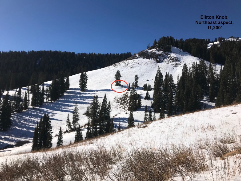
Irwin Snow: 0
Elkton Snow: 0
Friend’s Hut Snow: 0 -
Tonight
Low Temperature: 15
Winds/Direction: 5-15/WSW
Sky Cover: Partly Cloudy
Irwin Snow: 0
Elkton Snow: 0
Friend’s Hut Snow: 0 -
Tomorrow
High Temperature: 35
Winds/Direction: 5-15/SW
Sky Cover: Mostly Cloudy
Irwin Snow: 0
Elkton Snow: 0
Friend’s Hut Snow: 0