Location: Kebler Pass Area
Date of Observation: 02/10/2018
Name: Chris Martin
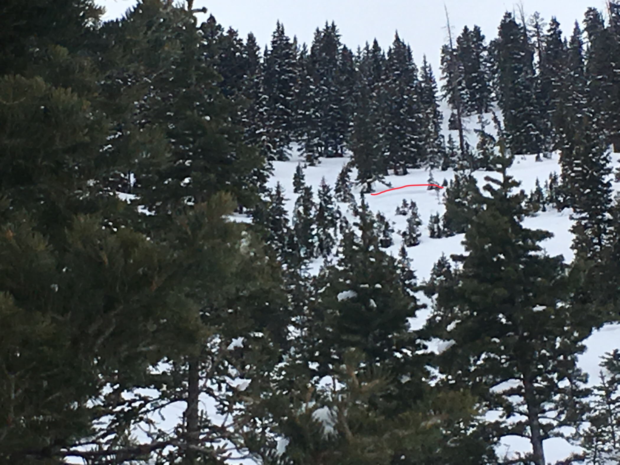
Subject: Coney’s/Washington Gulch
Aspect: North East
Elevation: 9400-10800
Avalanches:
none
Weather: Obscured skies. Snow increasing throughout the day from S1-S2 varying back and forth throughout day. Basically no winds observed at ridge top when we were present. NW winds through valley observed latter half of day.
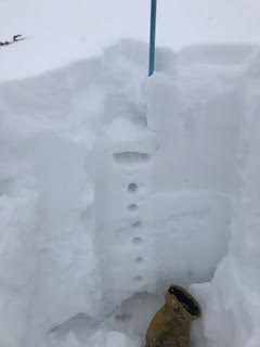
Snowpack: No immediate signs of instability.
HN 6-8” of new snow yet to be a slab observed throughout tour.
1M snow @10,800’ F-4F-1F-F with multiple crusts interspersed throughout pack.
Overall poor structure with slab above.
Photos: