Location: Crested Butte Area
Date of Observation: 02/24/2018
Name: Steve Banks. AMGA Observations
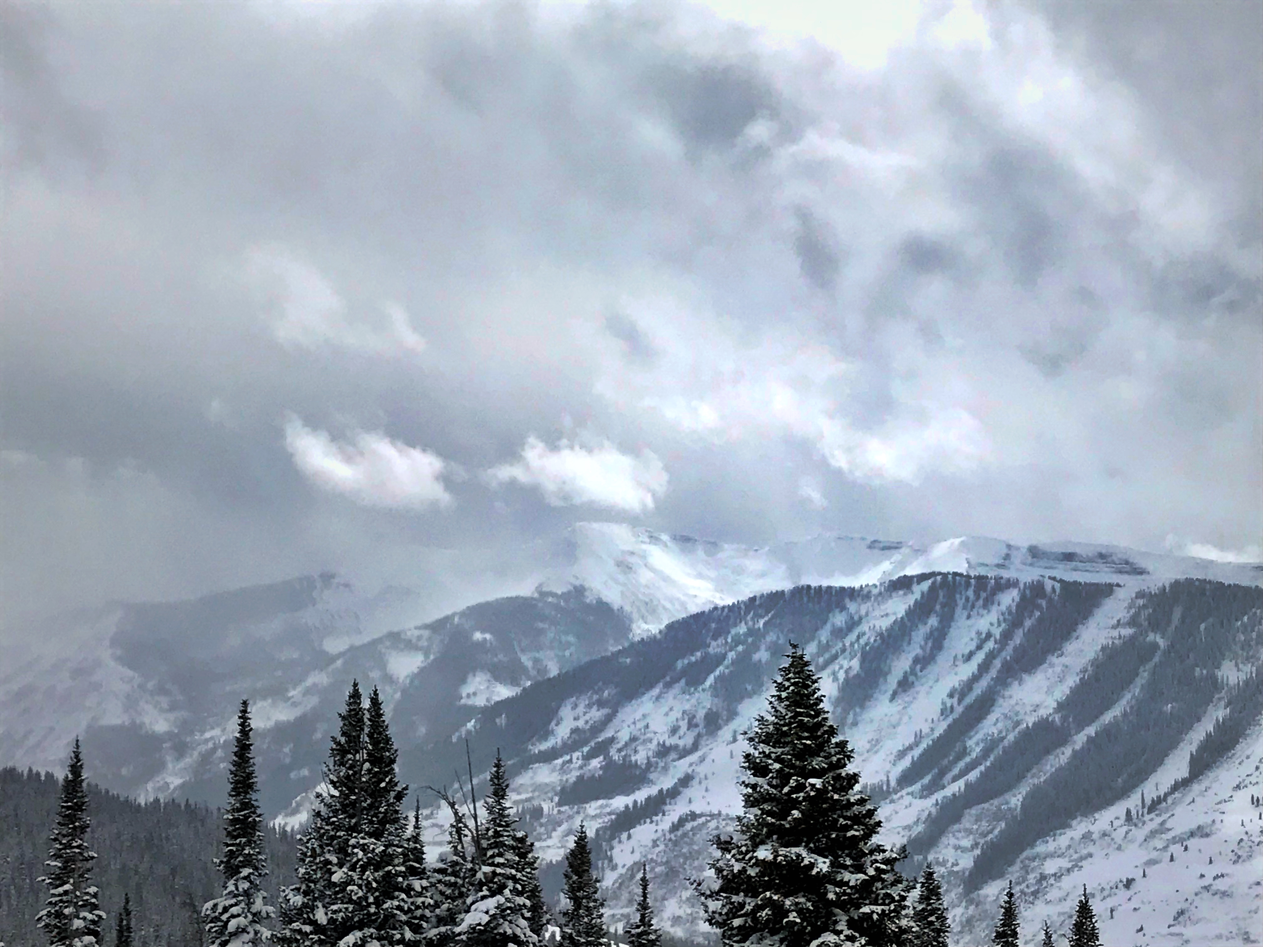
Subject: Mt Emmons
Aspect: South
Elevation:
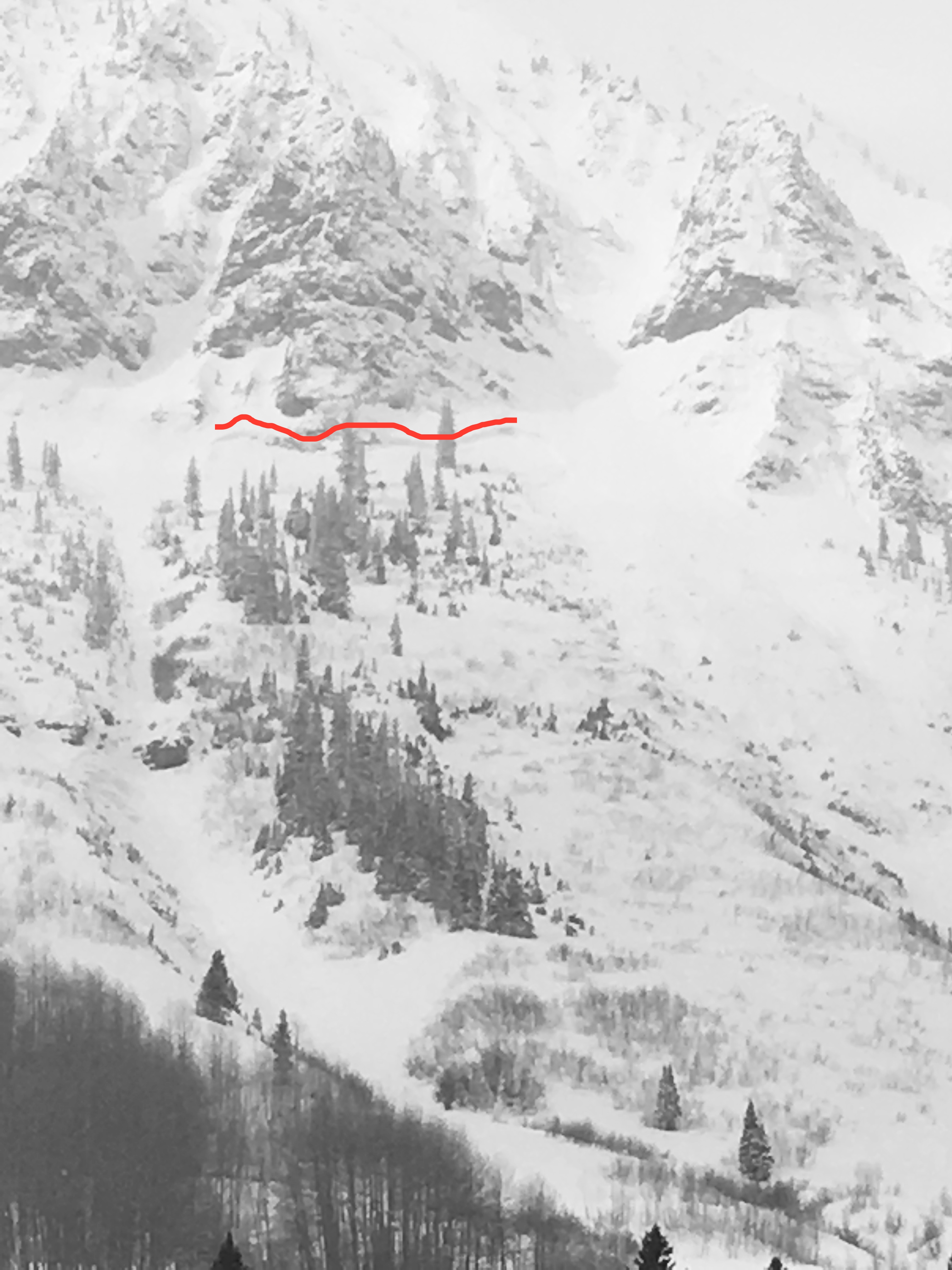
Avalanches:
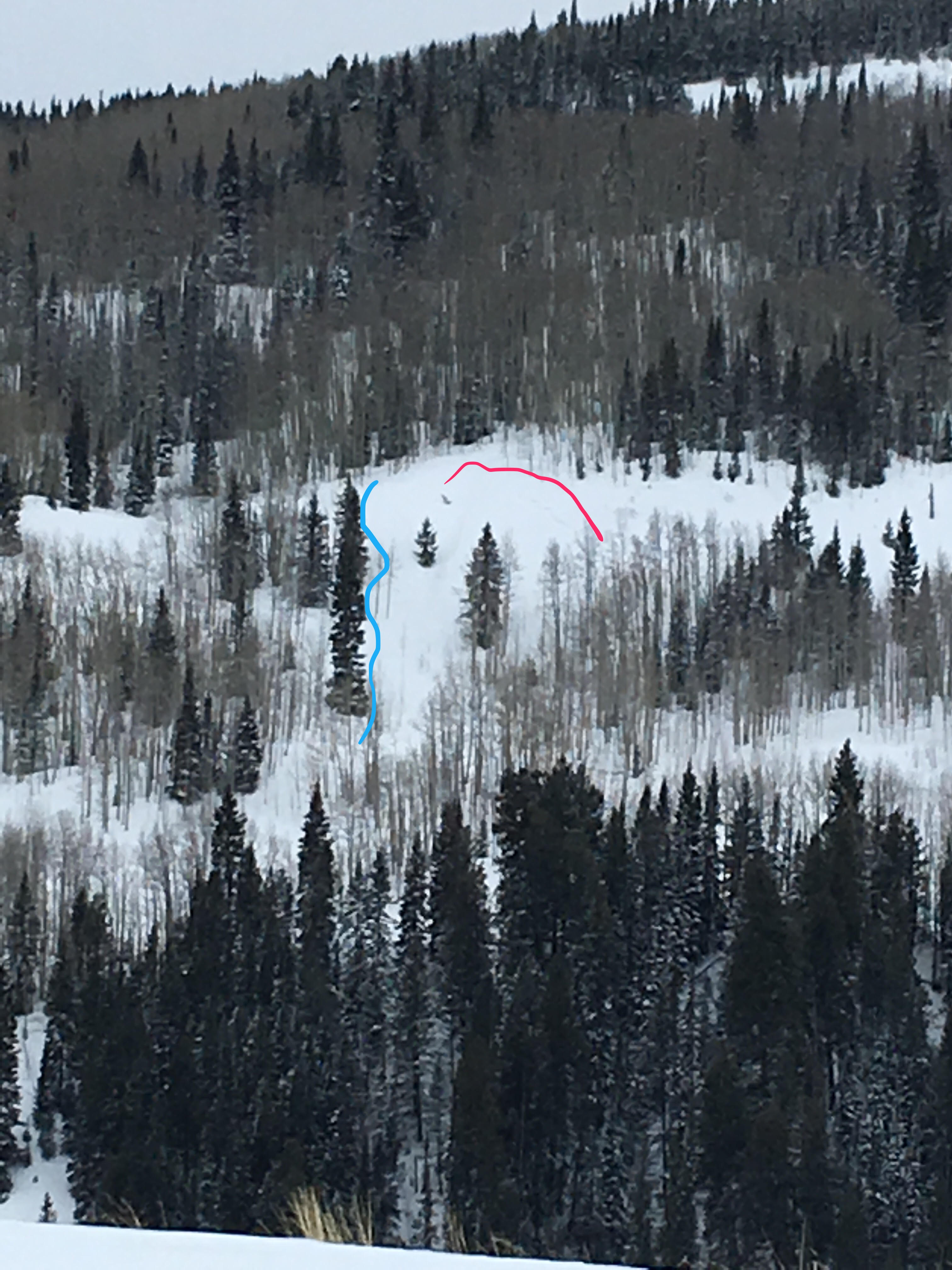
No new activity noticed. Wanted to check out Redwell slide but it was inhospitable up there!
Weather: Cold! High 9F low 1F at 11,000’. West winds 20-25 mph gusting to 40. BKN skies becoming scattered by afternoon. HN24 3 cms HST 18cms in the past few days.
Snowpack: New windslab formation throughout the day. Telephone pole hill had 6-8” fresh cornice breaking off easily under skis. 11,000 ridge had 8-10” fresh cornice build up and RLB looked loaded in the upper few hundred feet.
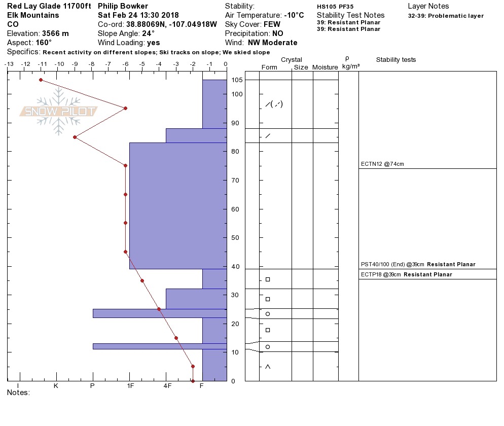
Snow profile near and above TL on South aspect showed several distinct yet decomposing melt-freeze crusts with layers of large facets in between. One pit (attached) had ETCP 18 RP 39 cms up from the ground (105 cm HS) as well as PST 40/100 (end) on the same layer.
Photos: