Location: Kebler Pass Area
Date of Observation: 03/05/2018
Name: Eleven Cat Operation
Subject: Eleven Cat Operation
Aspect:
Elevation:
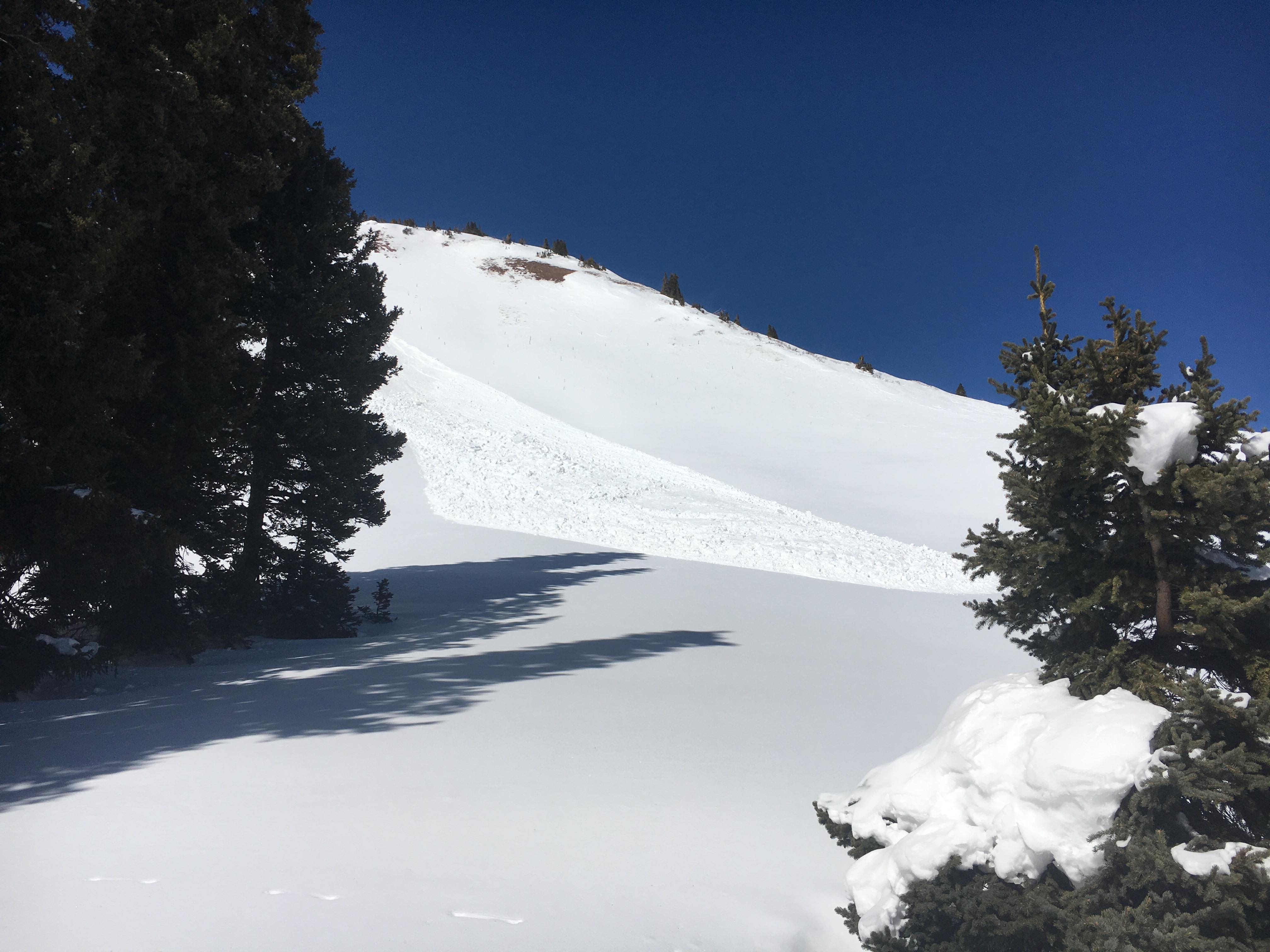
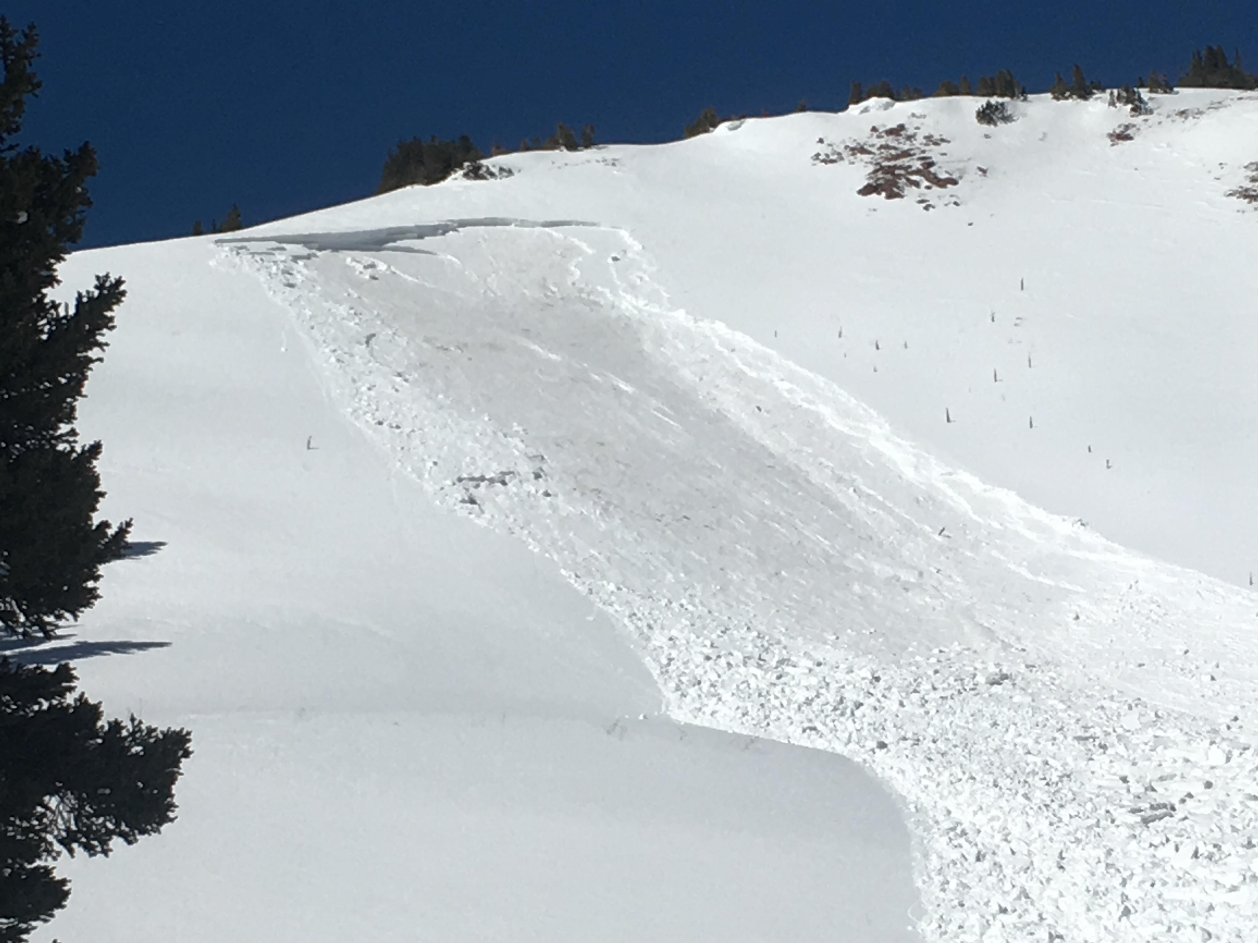
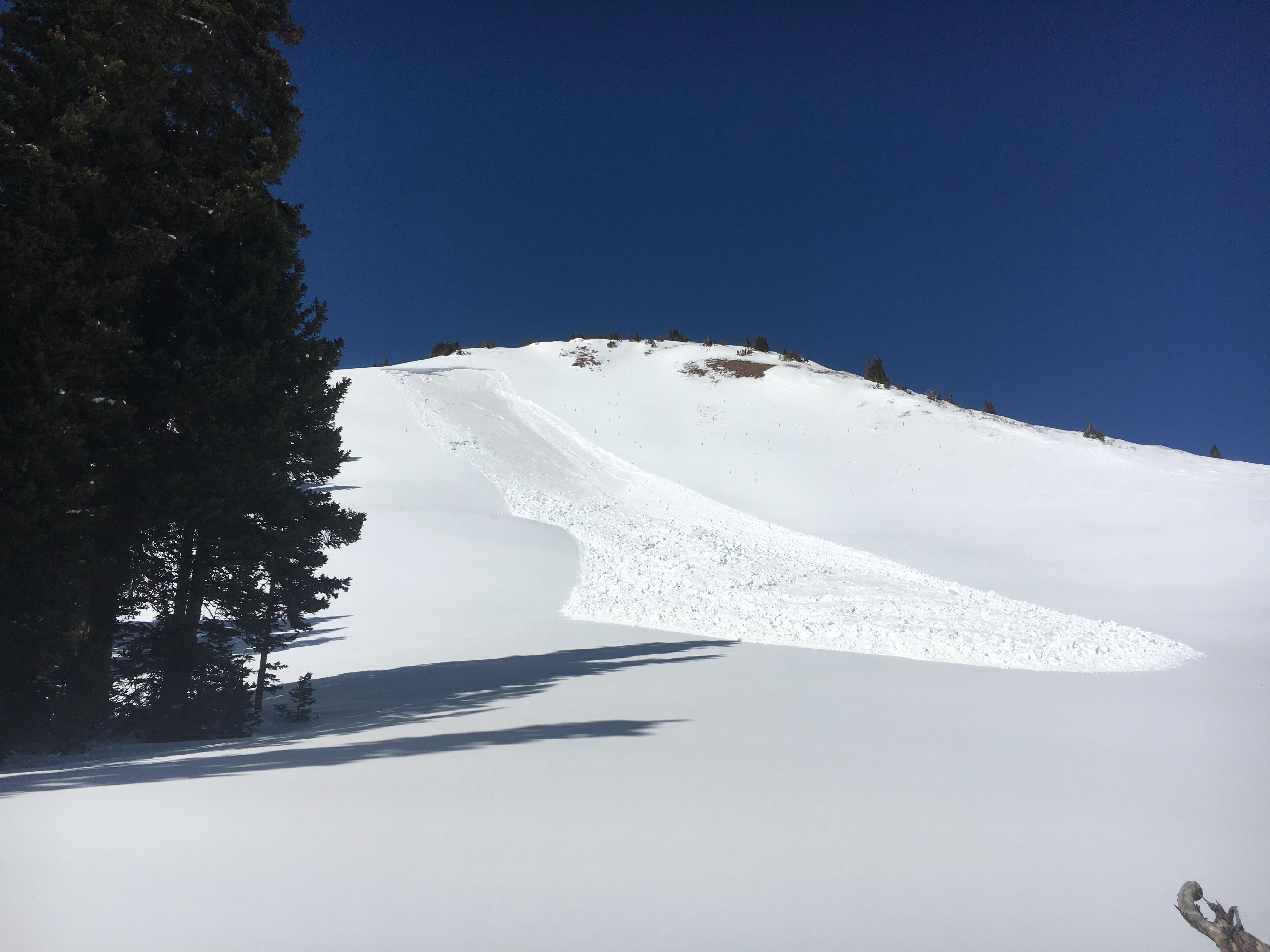
Avalanches:
Weather: Night and day between morning and afternoon. Clear in the Am transitioning to obscured by 1400. Calm winds shifting to 30s G70s later in the day. Colder Temps throughout the day. HN24 1.5″ at 16:00.
Snowpack: Light density snow this afternoon isn’t bonding well.
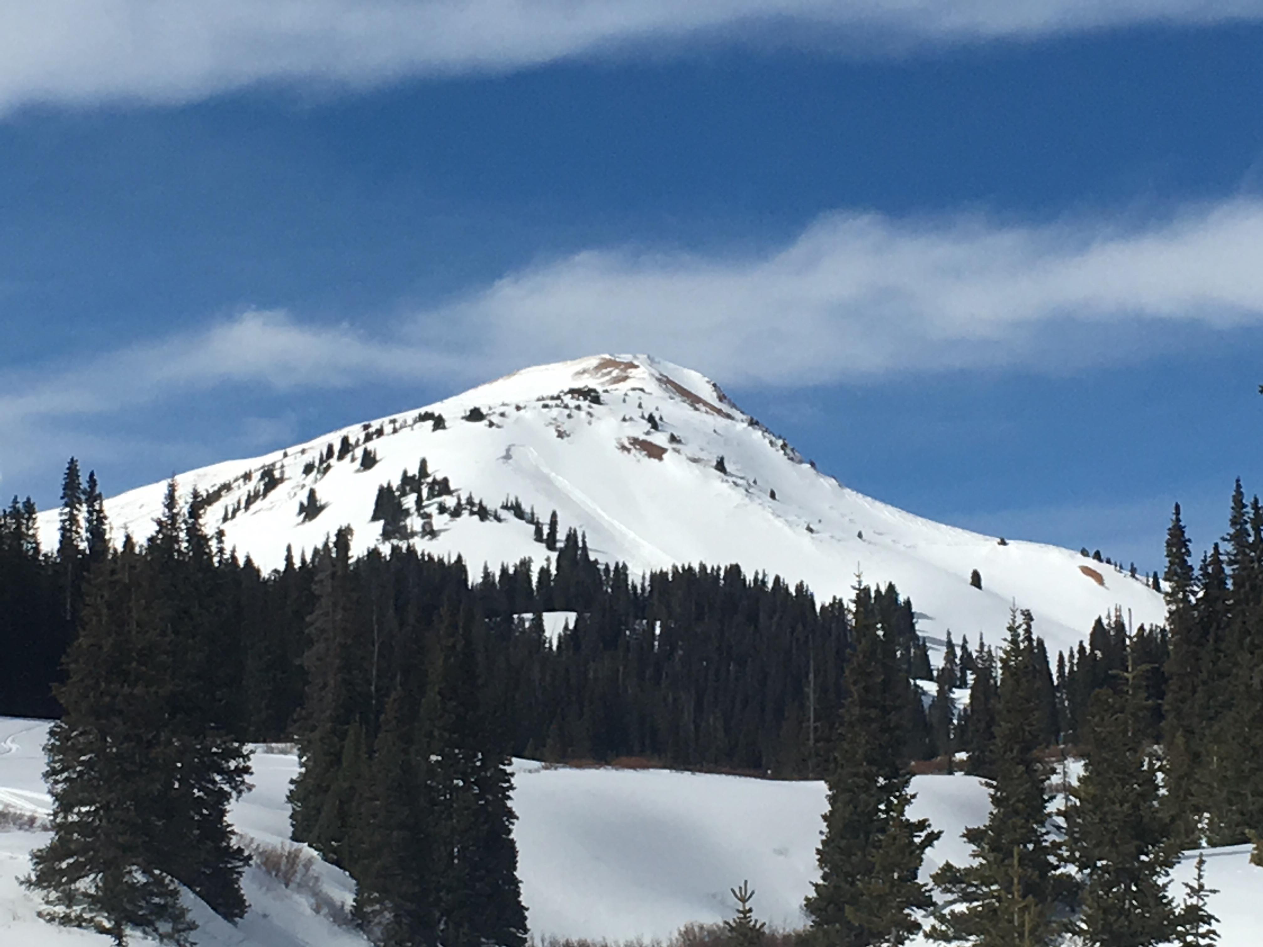
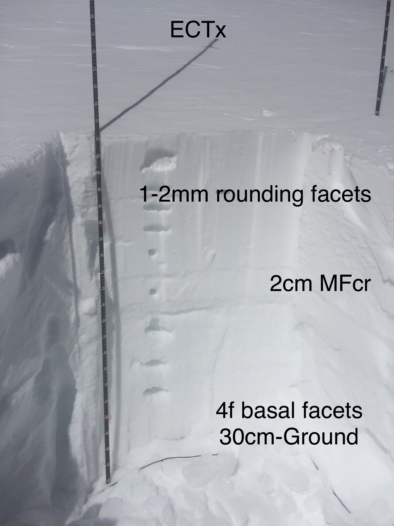
Photos: