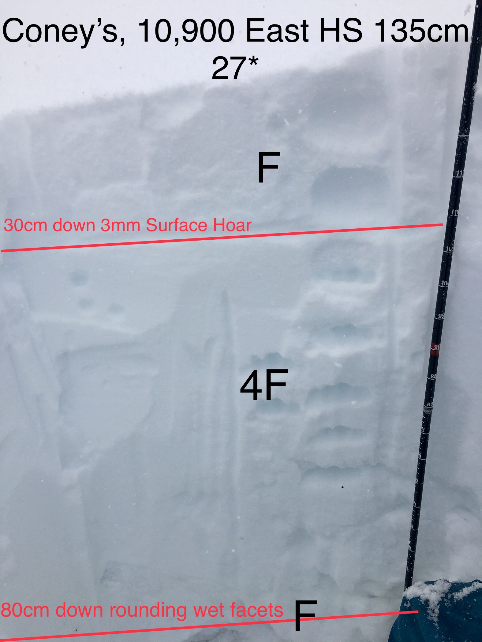
Location: Paradise Divide Area
Date of Observation: 01/17/2019
Name: Evan Ross
Subject: Slate River Holding Up
Aspect: North East
Elevation: 9,000-10,600
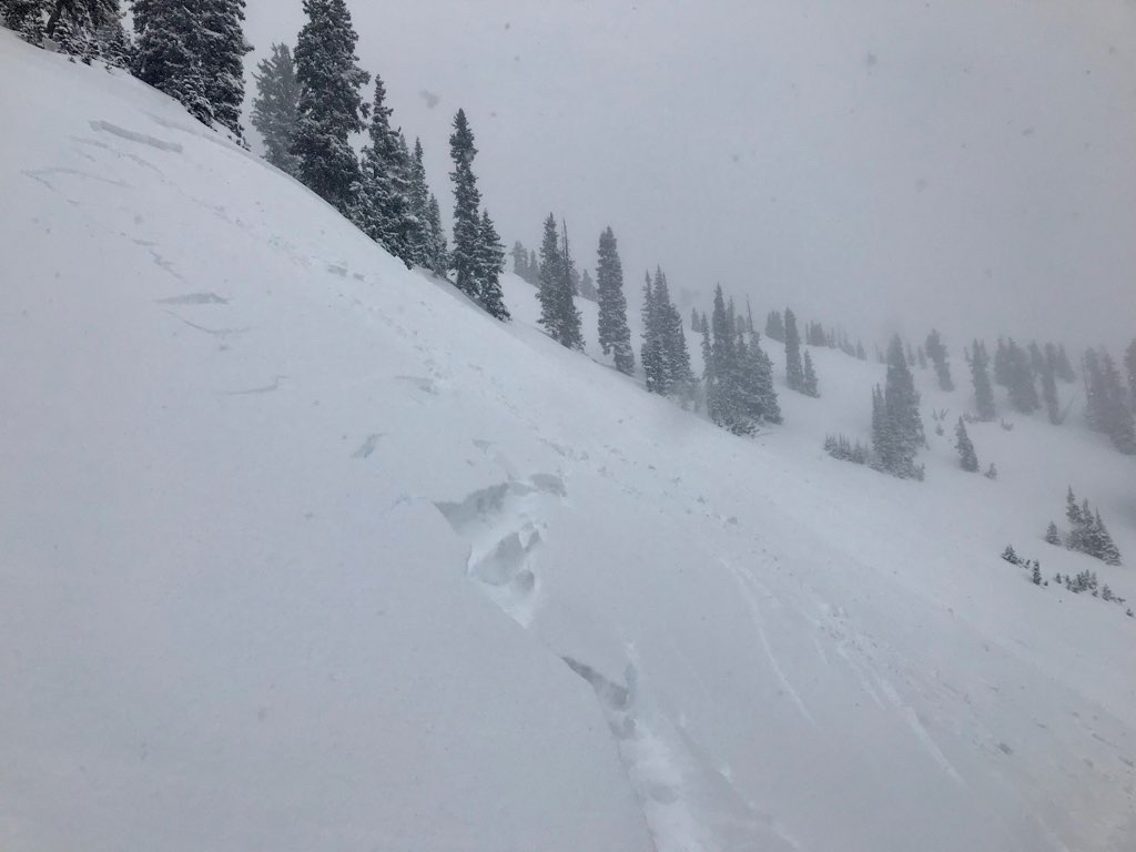
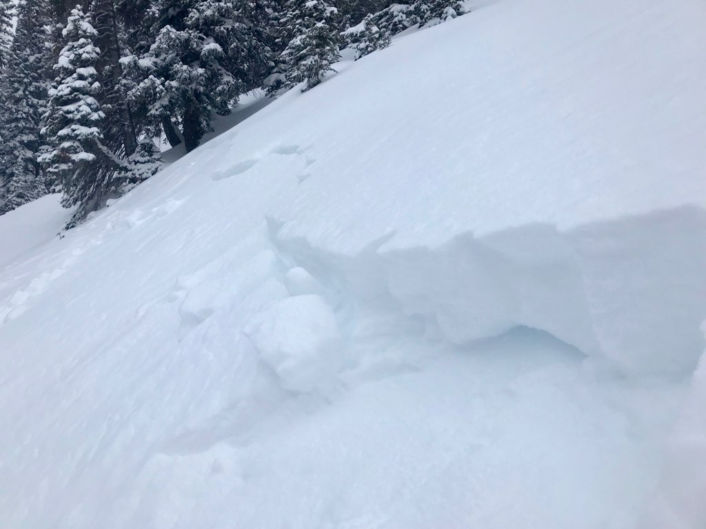
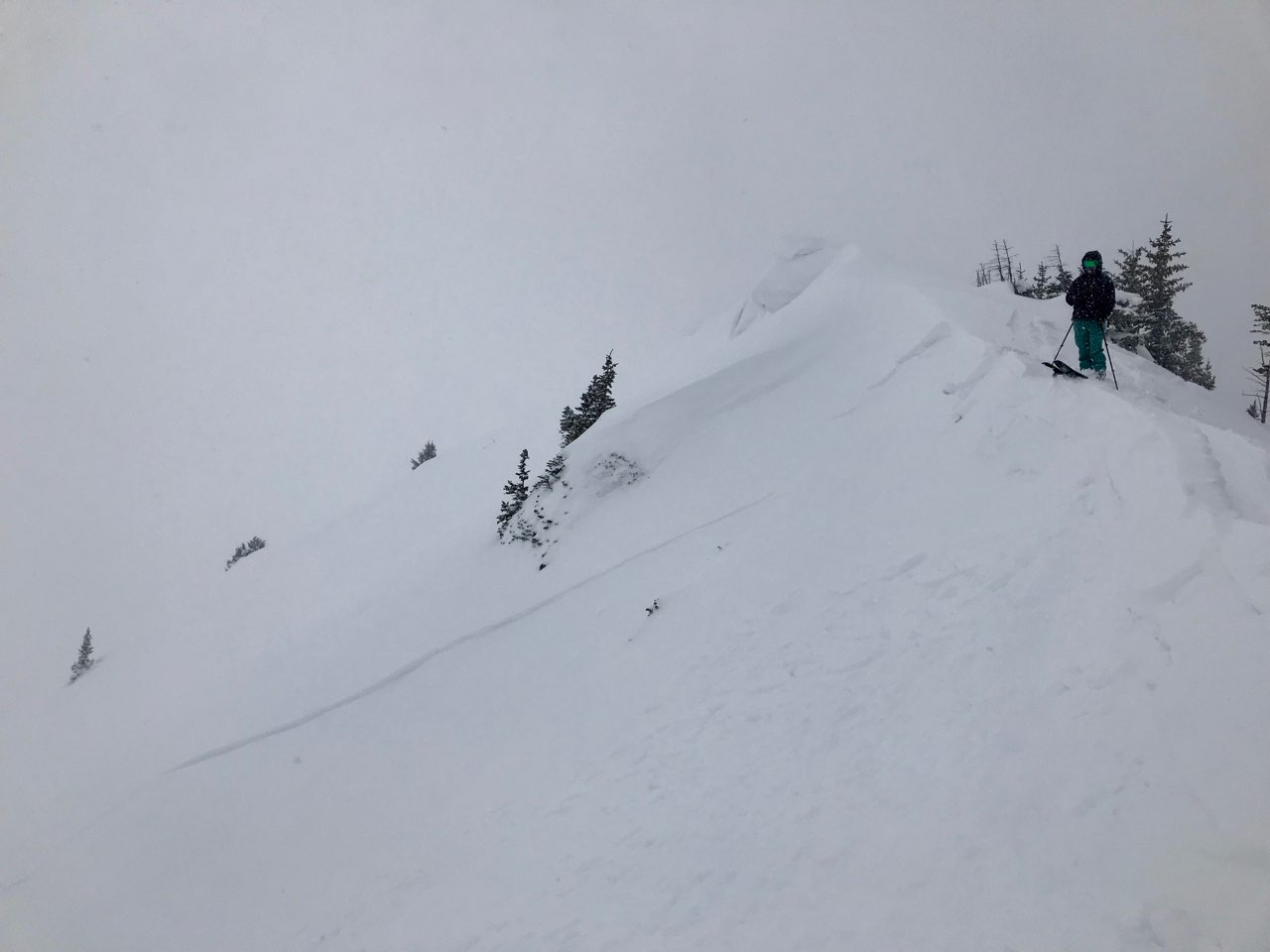
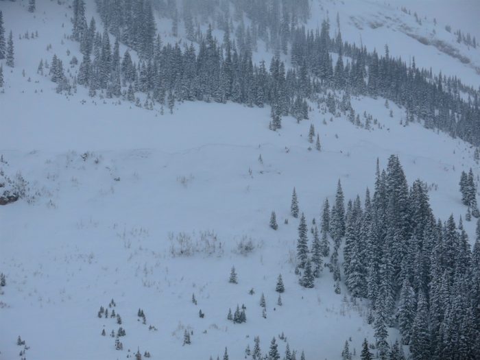
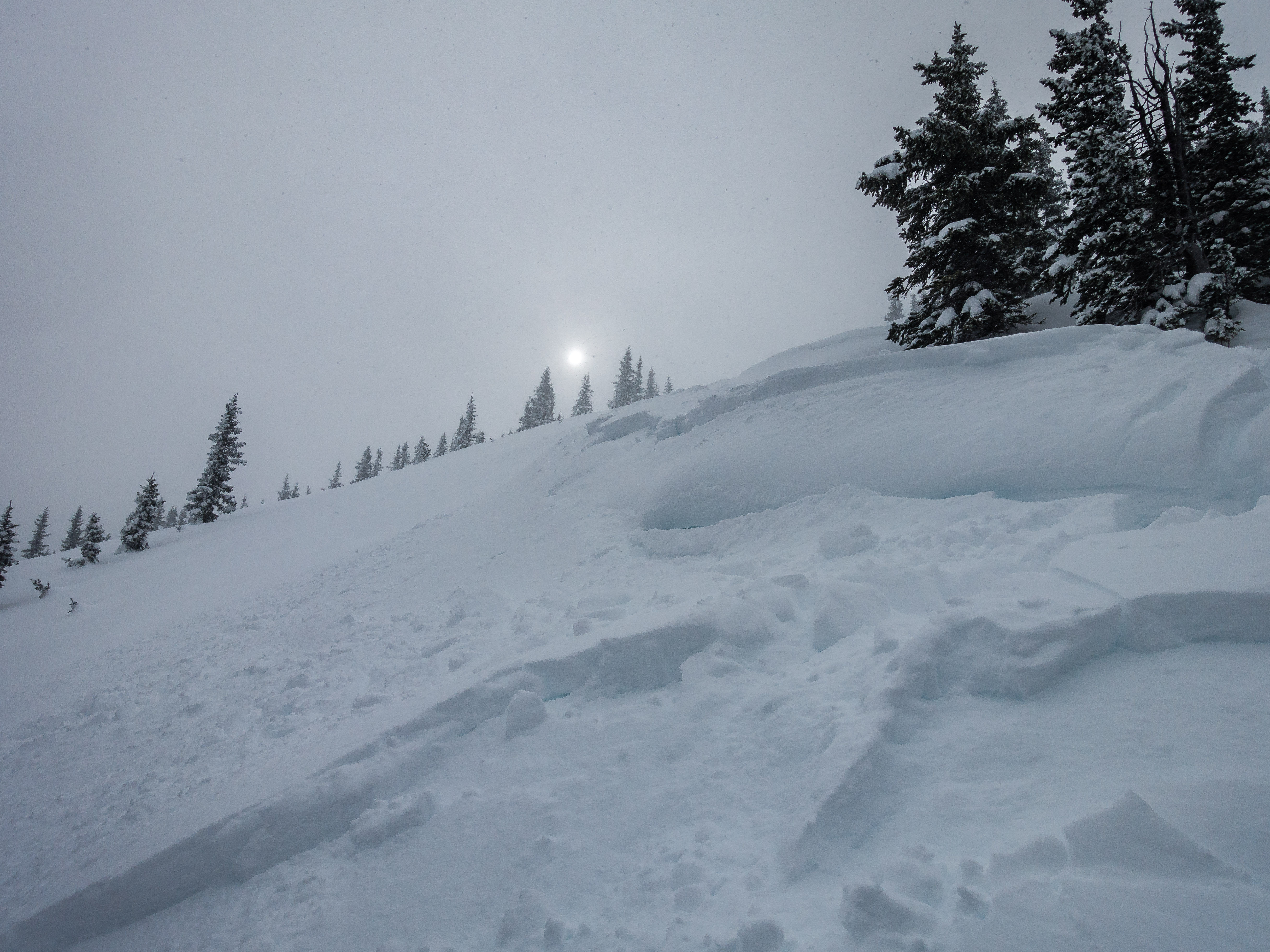
Weather: Patly to mostly cloudy sky. The thick clouds didn’t move in until later afternoon. Calm winds where we were down in the valley. Blowing snow off the peaks. Winds had picked up in the valley at 4pm on the way home and where blowing snow.
Snowpack: Thick pow with no signs to instability. No cracks, noise, nothing. The deep snowpack is handling the ~15″ HST well. In the whole Slate River Valley and everything that can be seen further around, only one D 1.5 avalanche was seen from the last storm. That also goes for the thiner snowpack near Mt Emmons. The old crowns on the Climax Chutes could still be seen. The Climax Chutes had a few small loose snow avalanches in the steepest terrain. HS at 10,500ft averaged 165cm.