Location: Crested Butte Area
Date of Observation: 01/18/2019
Name: CBPSP
Subject: Crested Butte Mountain Resort Obs
Aspect: North
Elevation: 10200′-11400′
Avalanches:
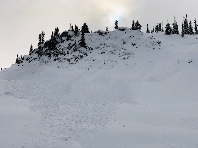
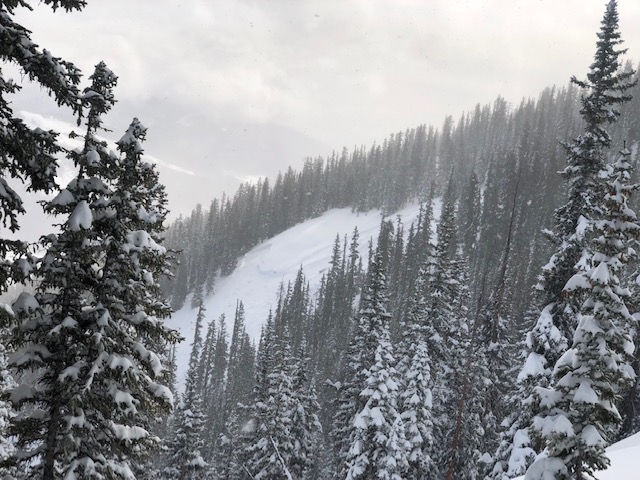
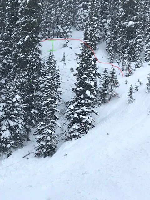
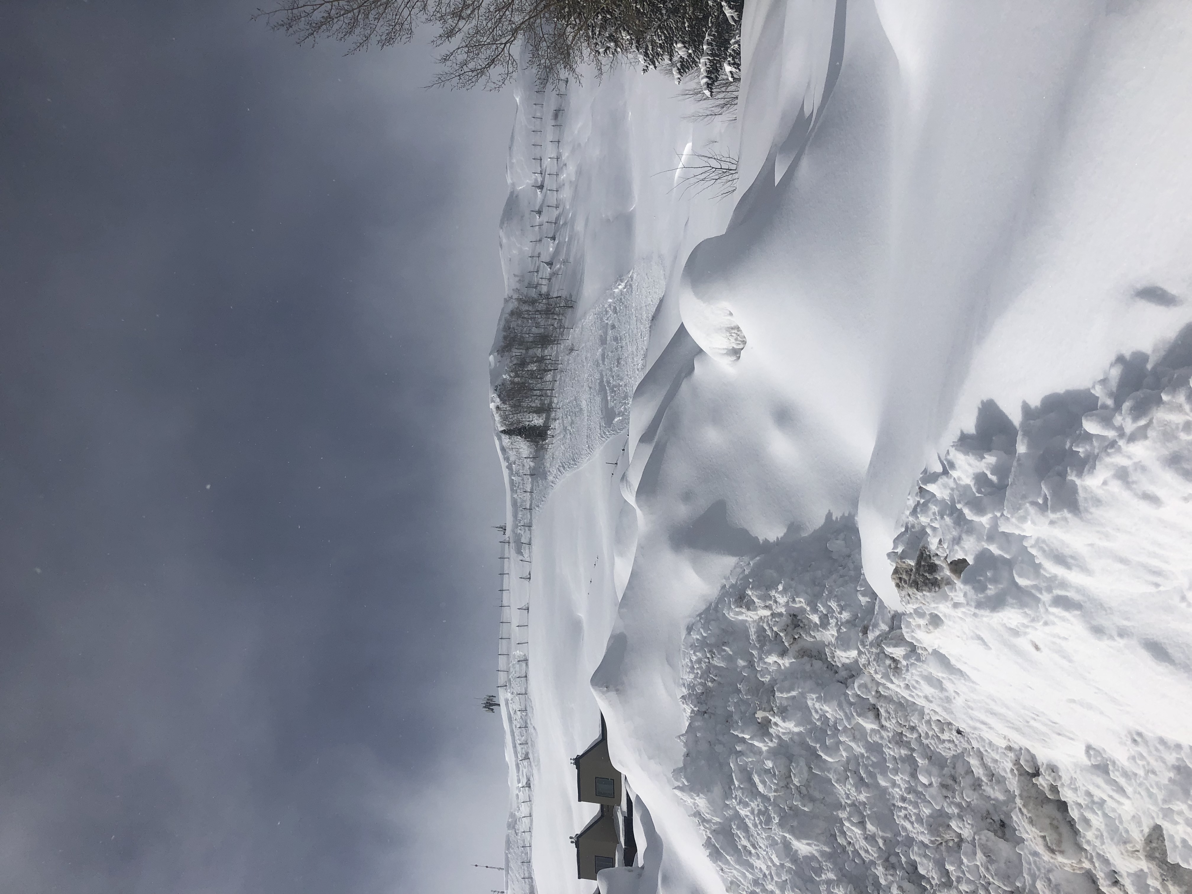
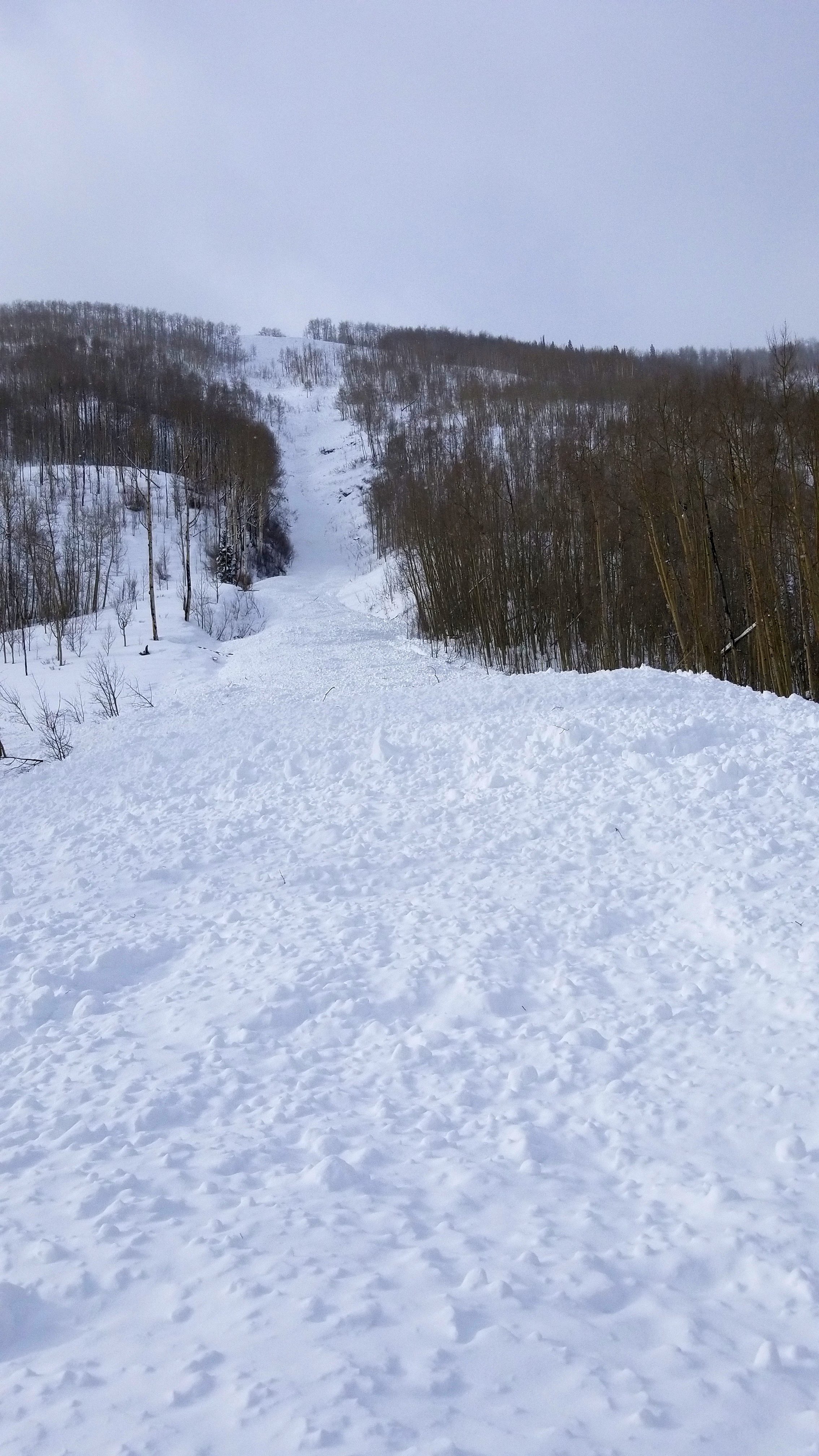
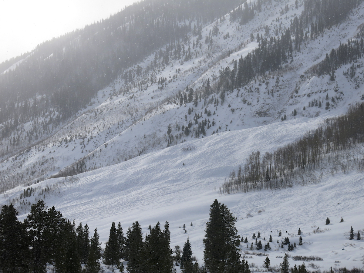
Funnel N-SS-R2-D2-I
Teo 2 N-SS-R3-D3-O
Wolfs Lair AE-SS-R2-D2-I
Disgusting Trees AEy-SS-R3-D2-O/G (small feature that released sympathetic from another slide crown was 5′)
Weather: Temperature’s in the low teens with moderate NW winds all day. 10″ of new last night with .9″ SWE
Snowpack: Ran routes in previously open terrain today most teams reported storm slabs that were reactive to explosives. As the day progressed isolated touchy wind slabs formed throughout the day.
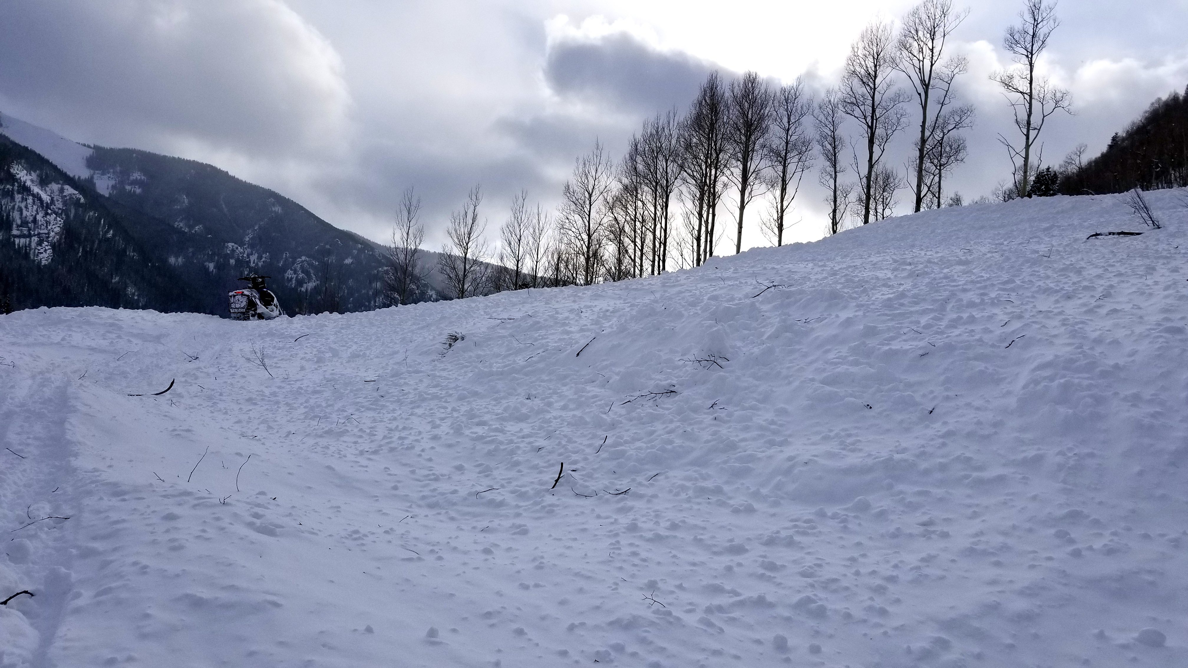
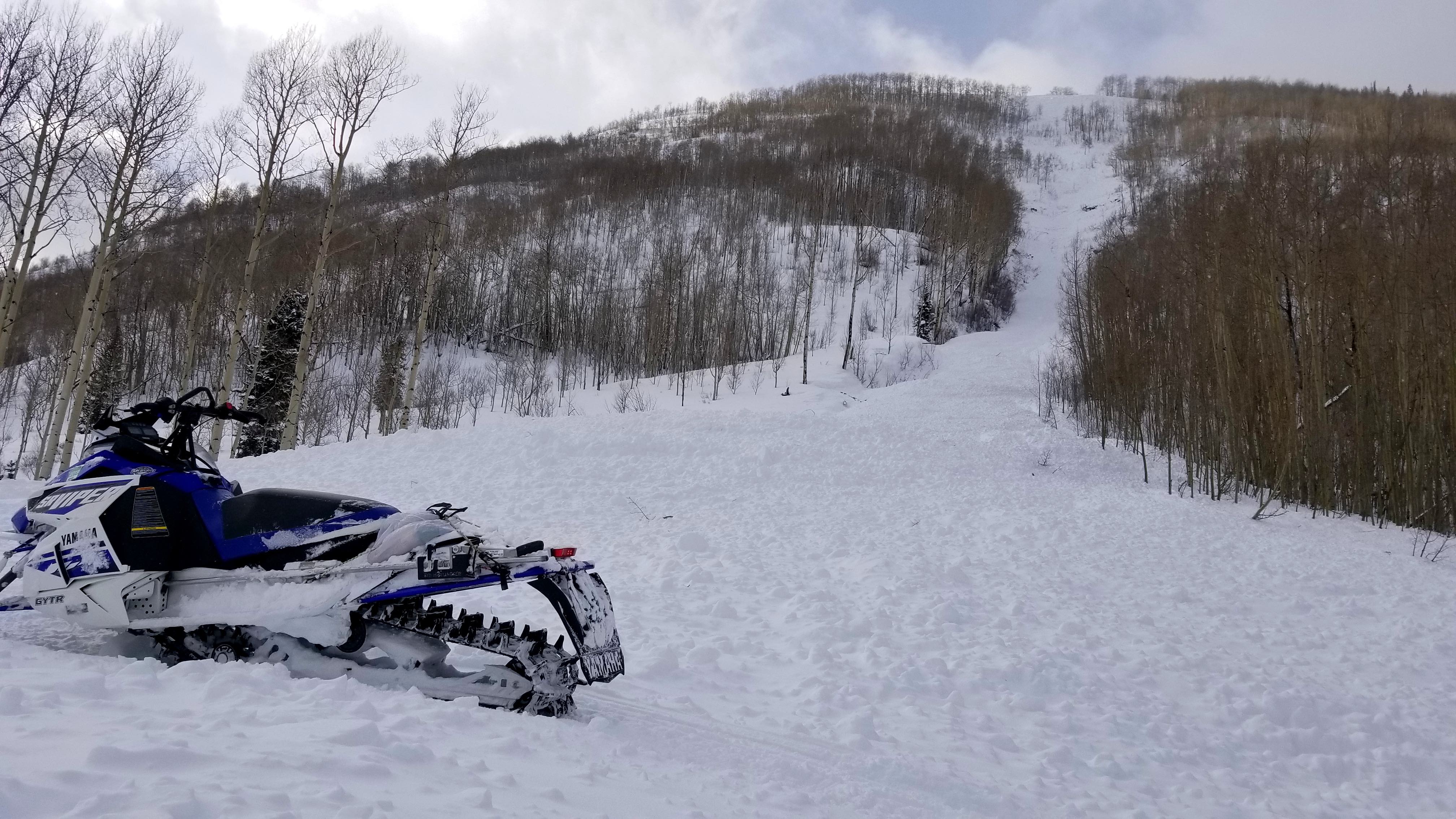
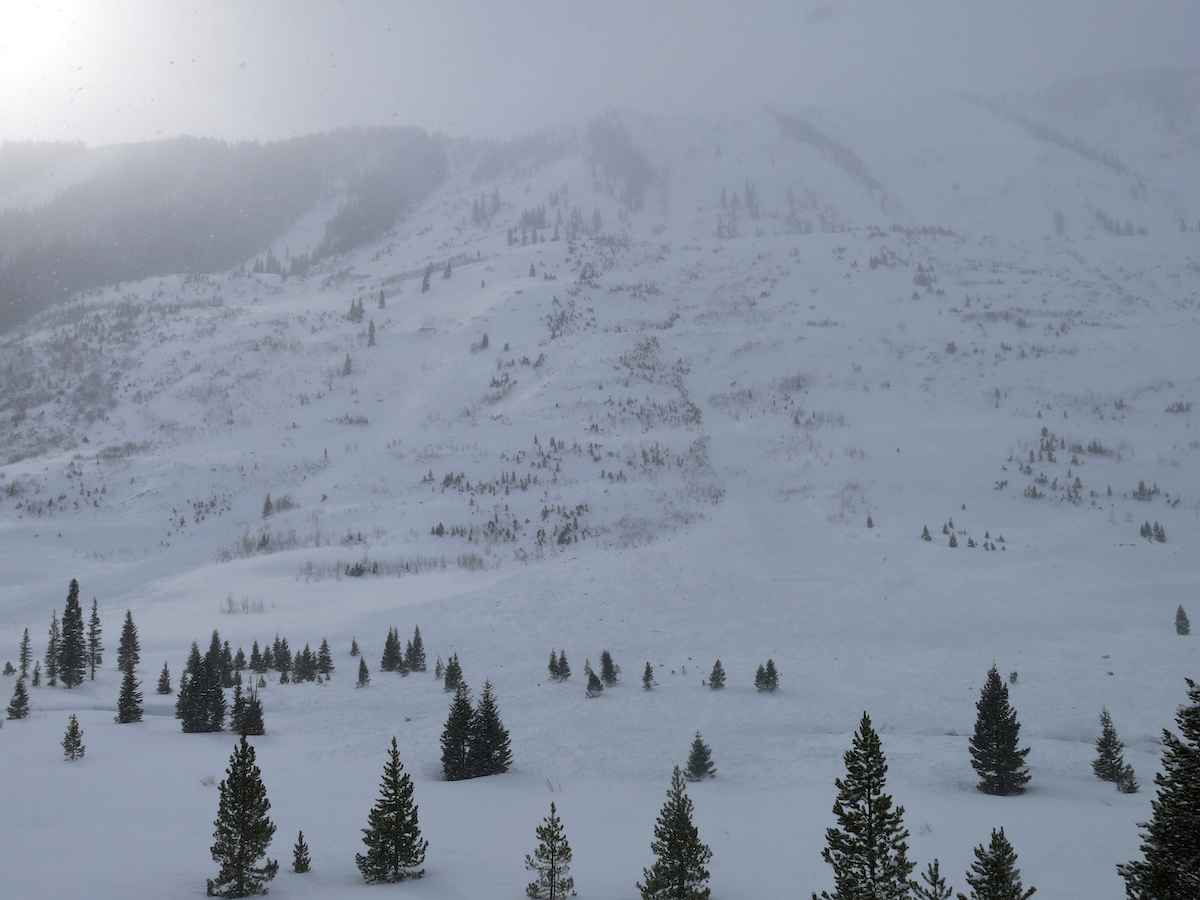
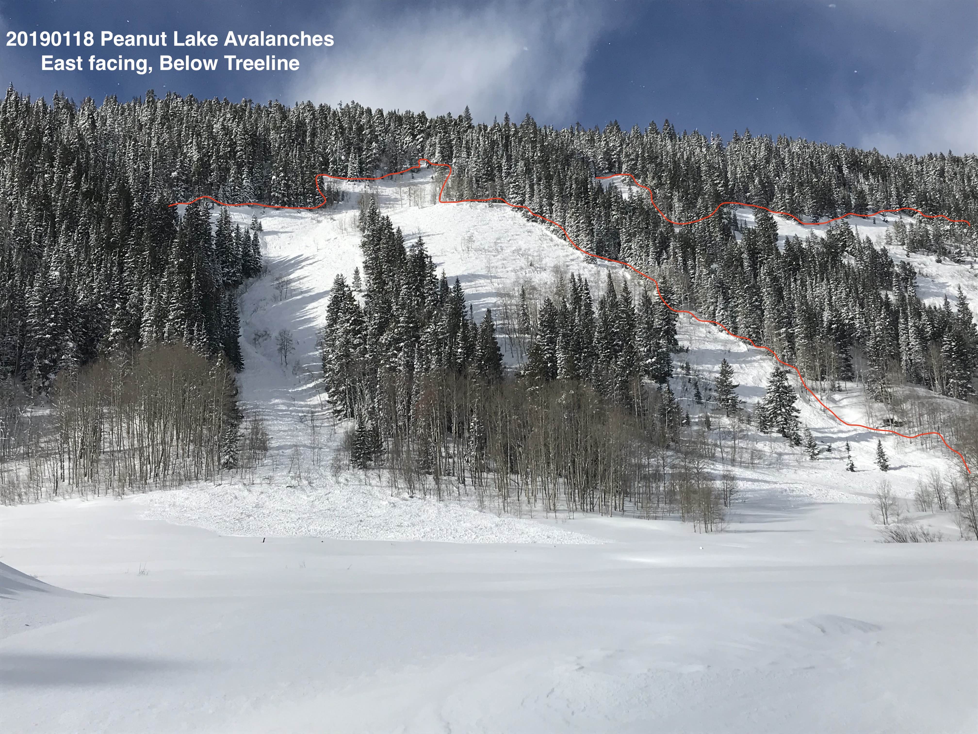
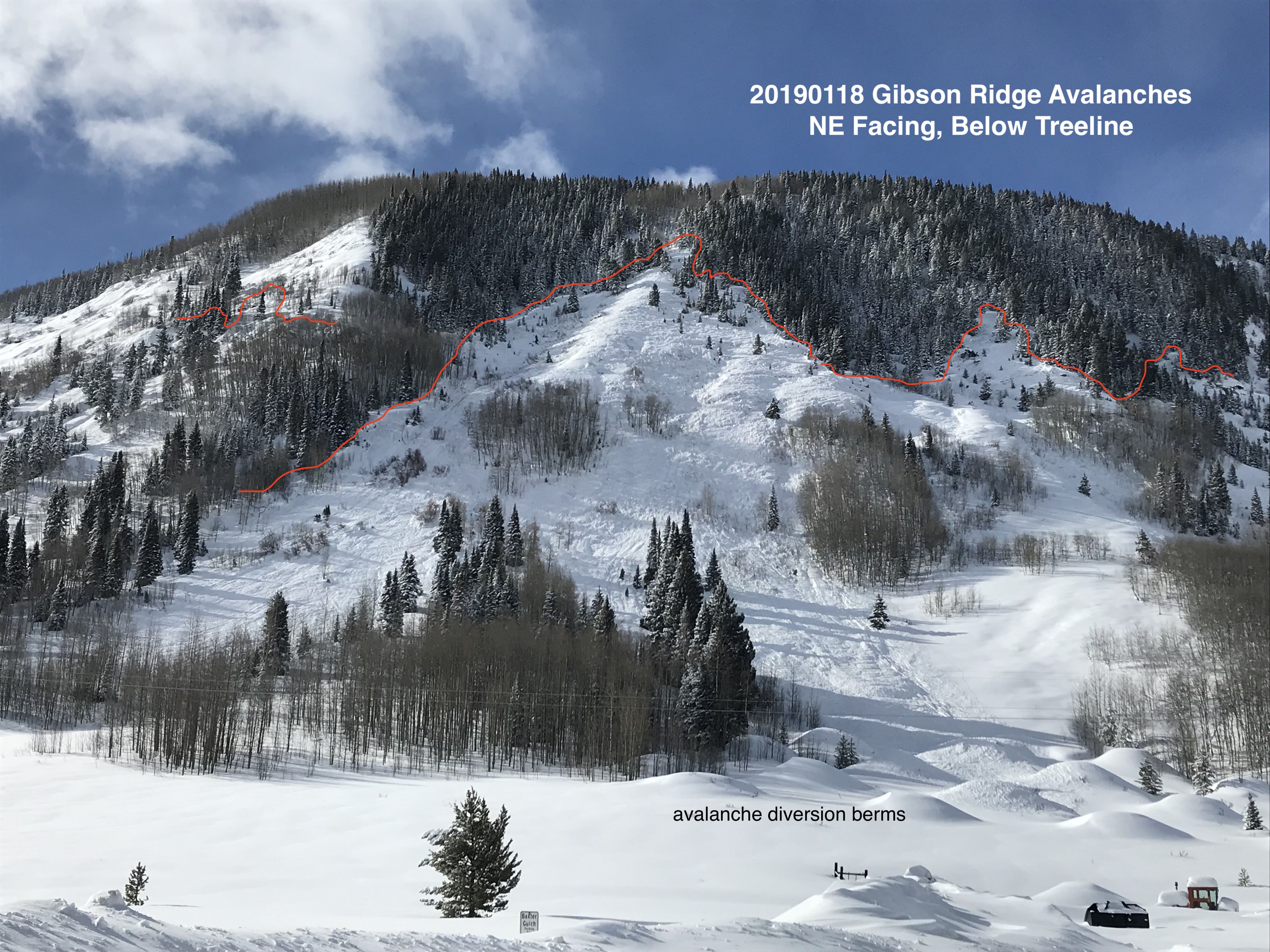
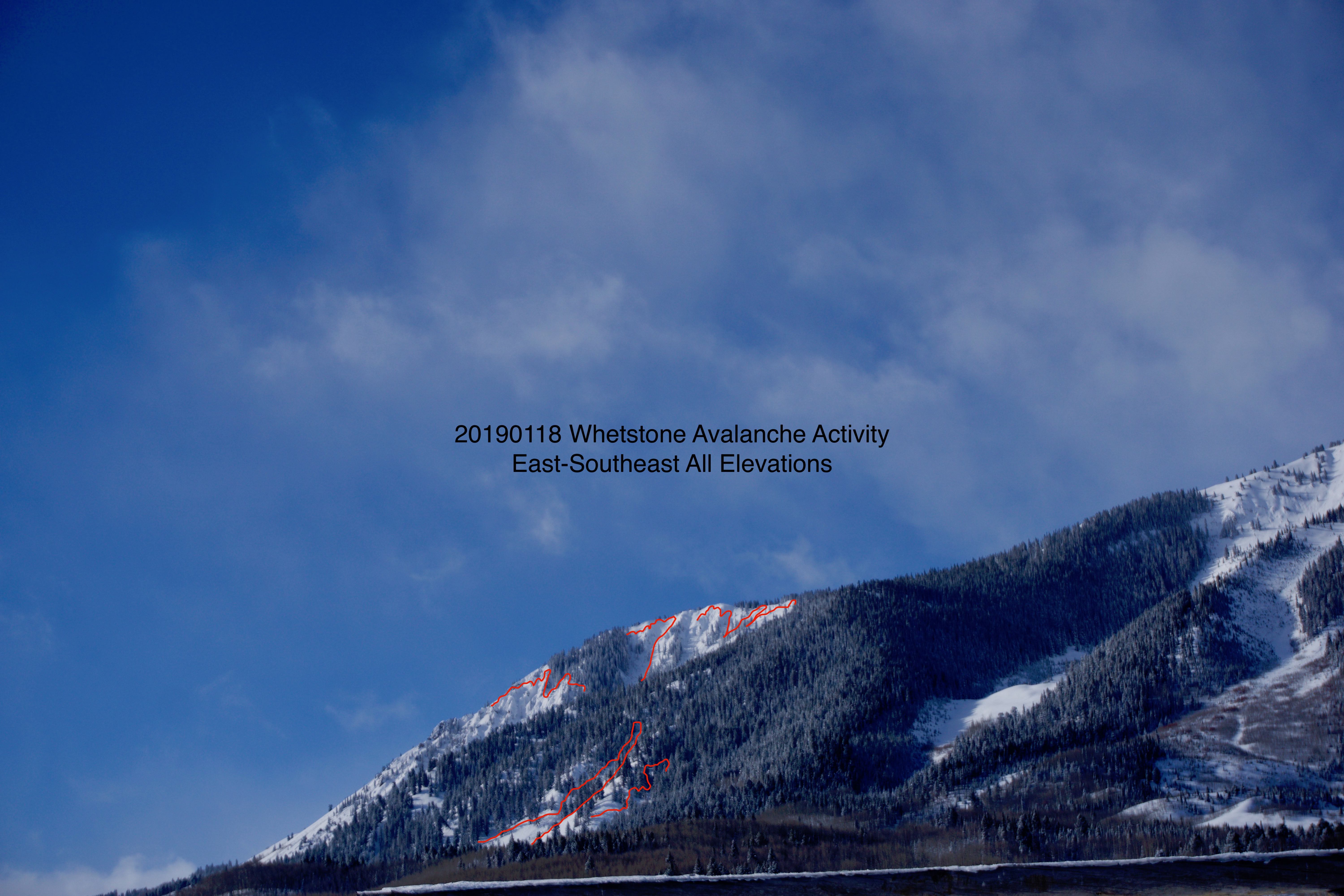
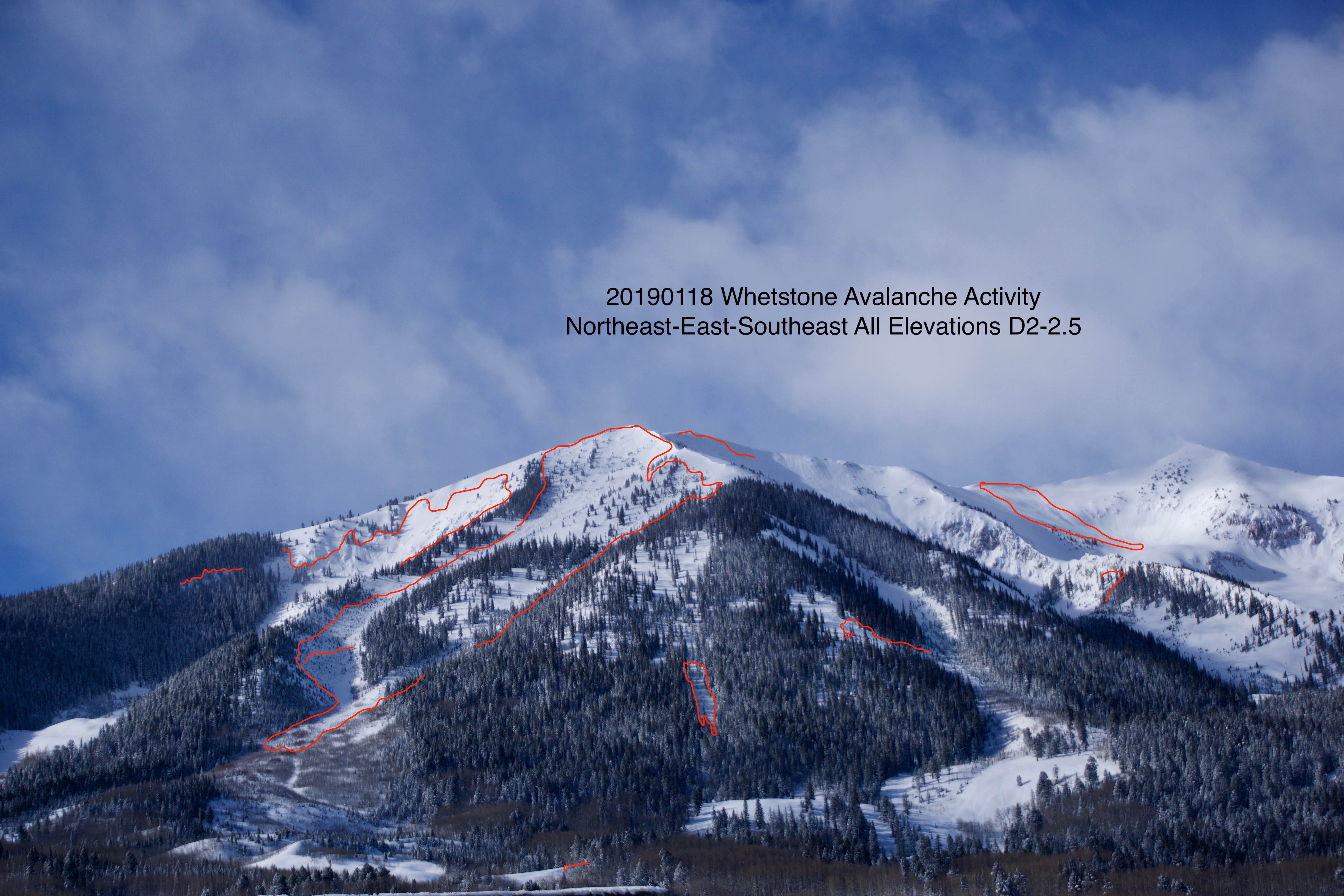
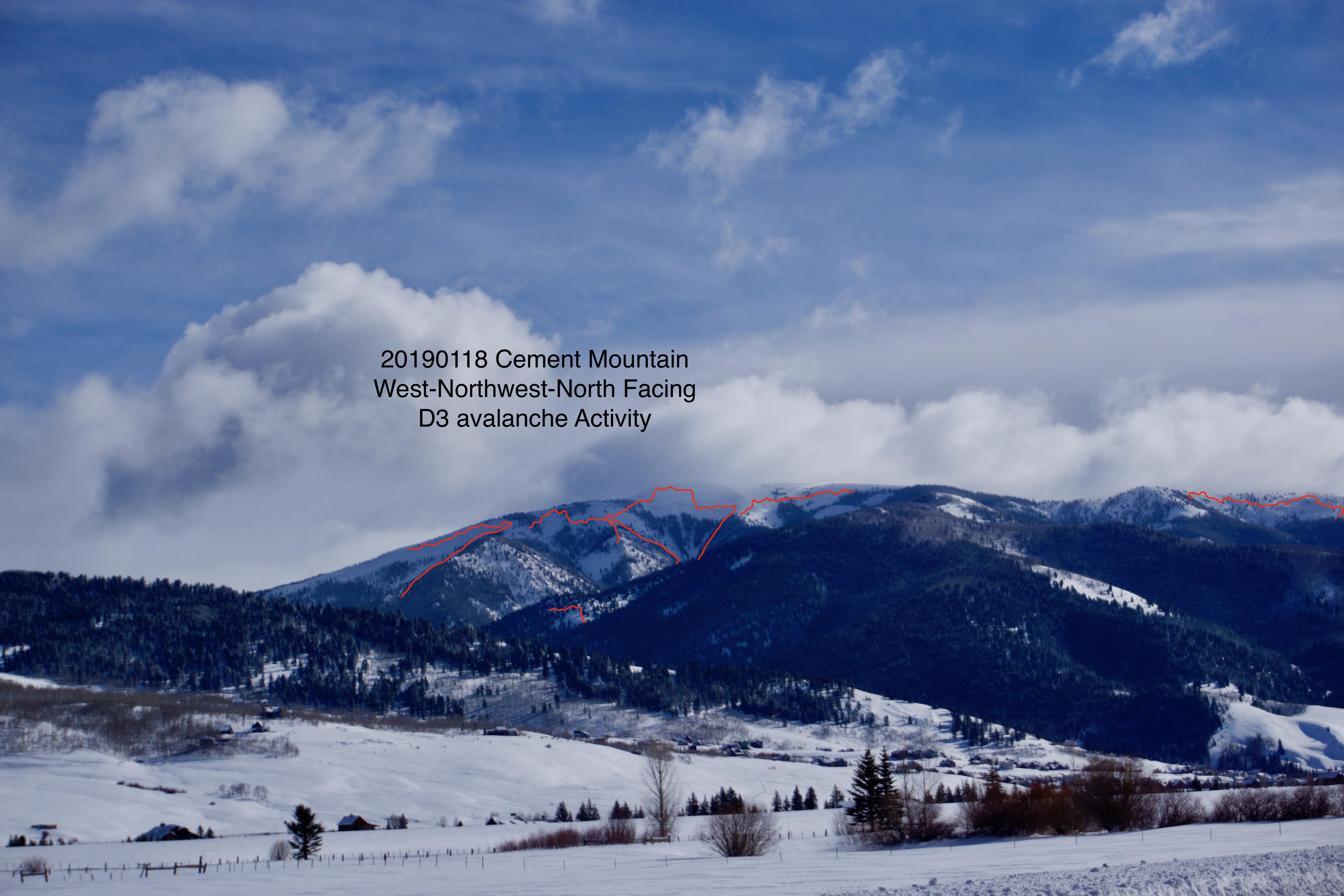
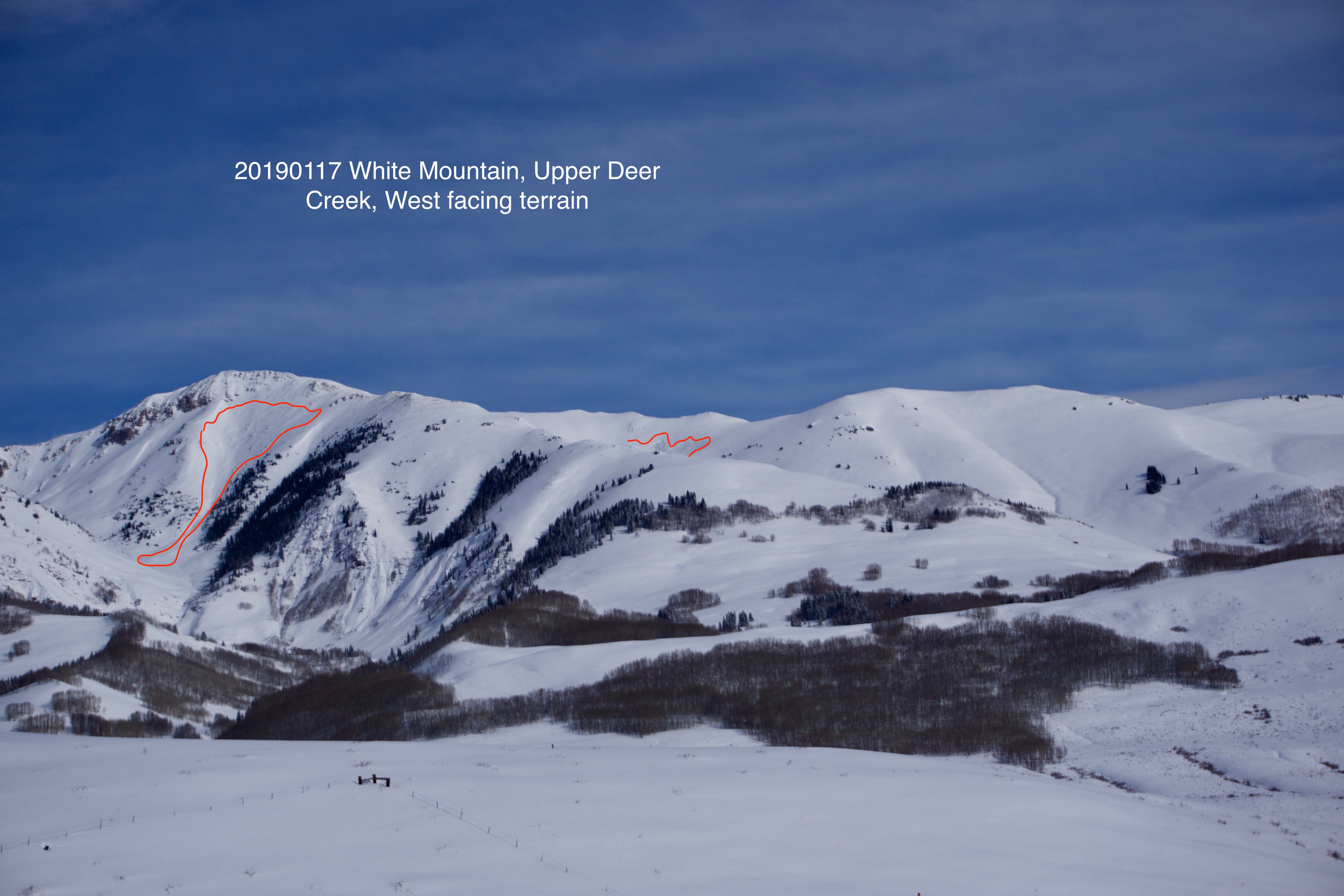
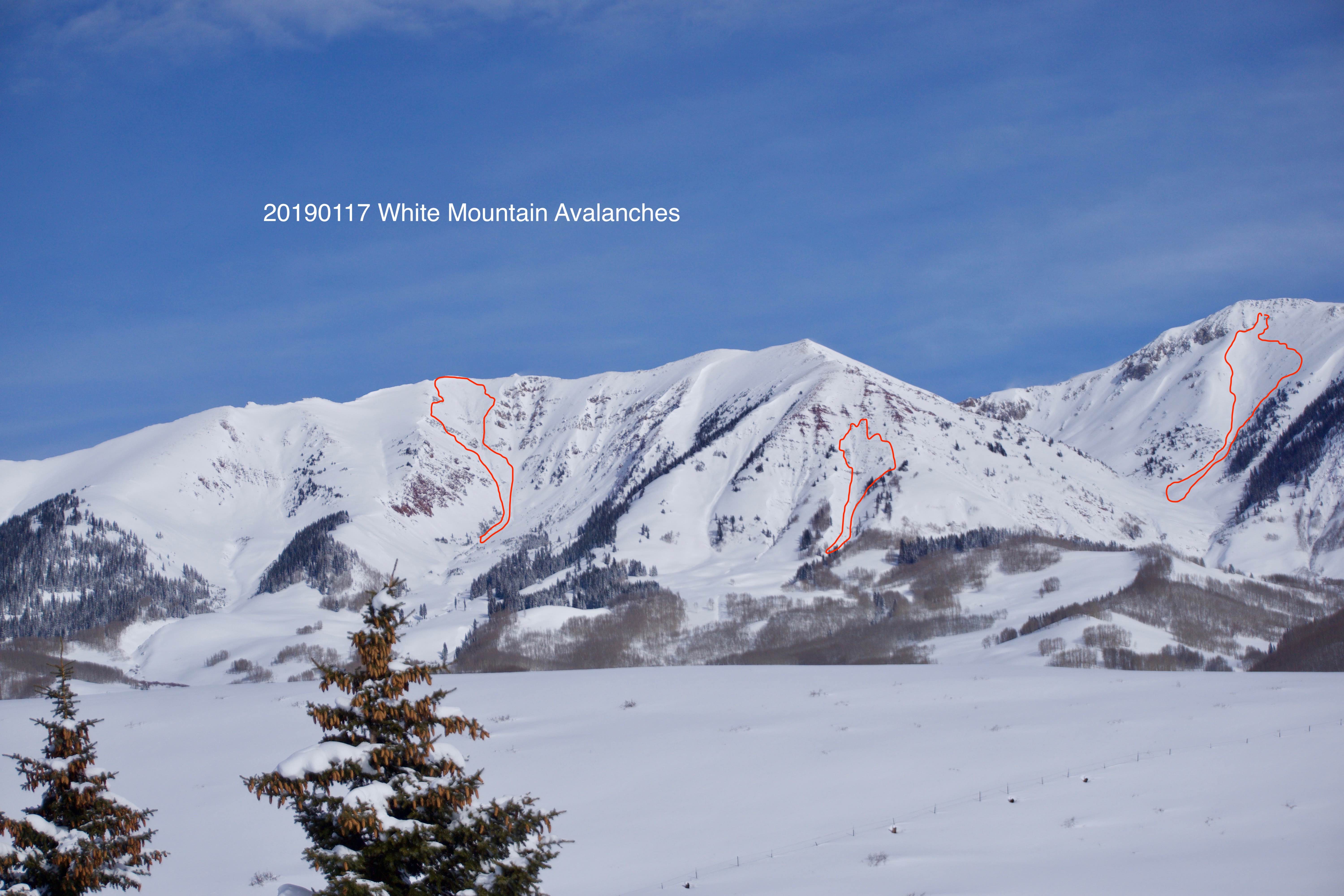
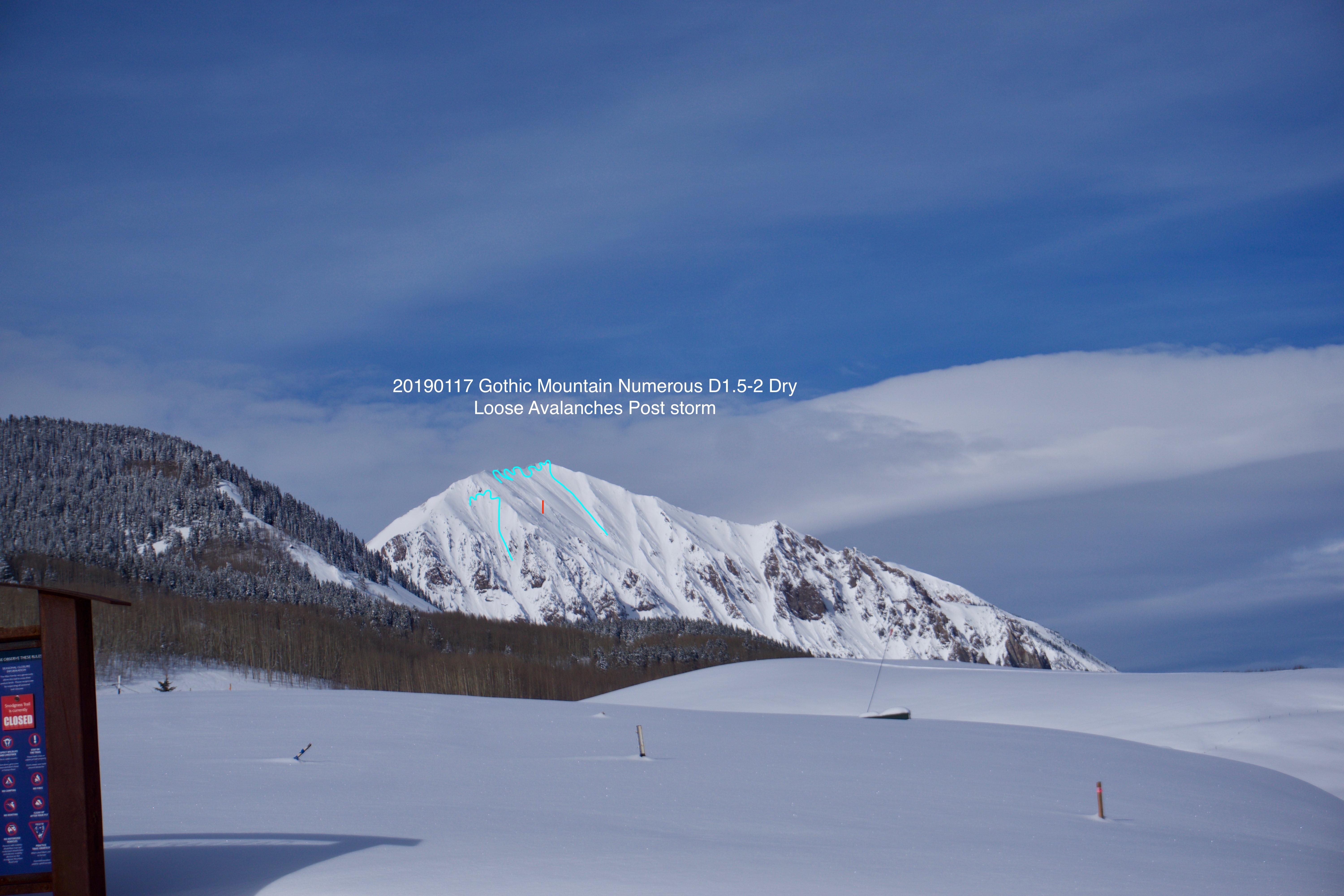
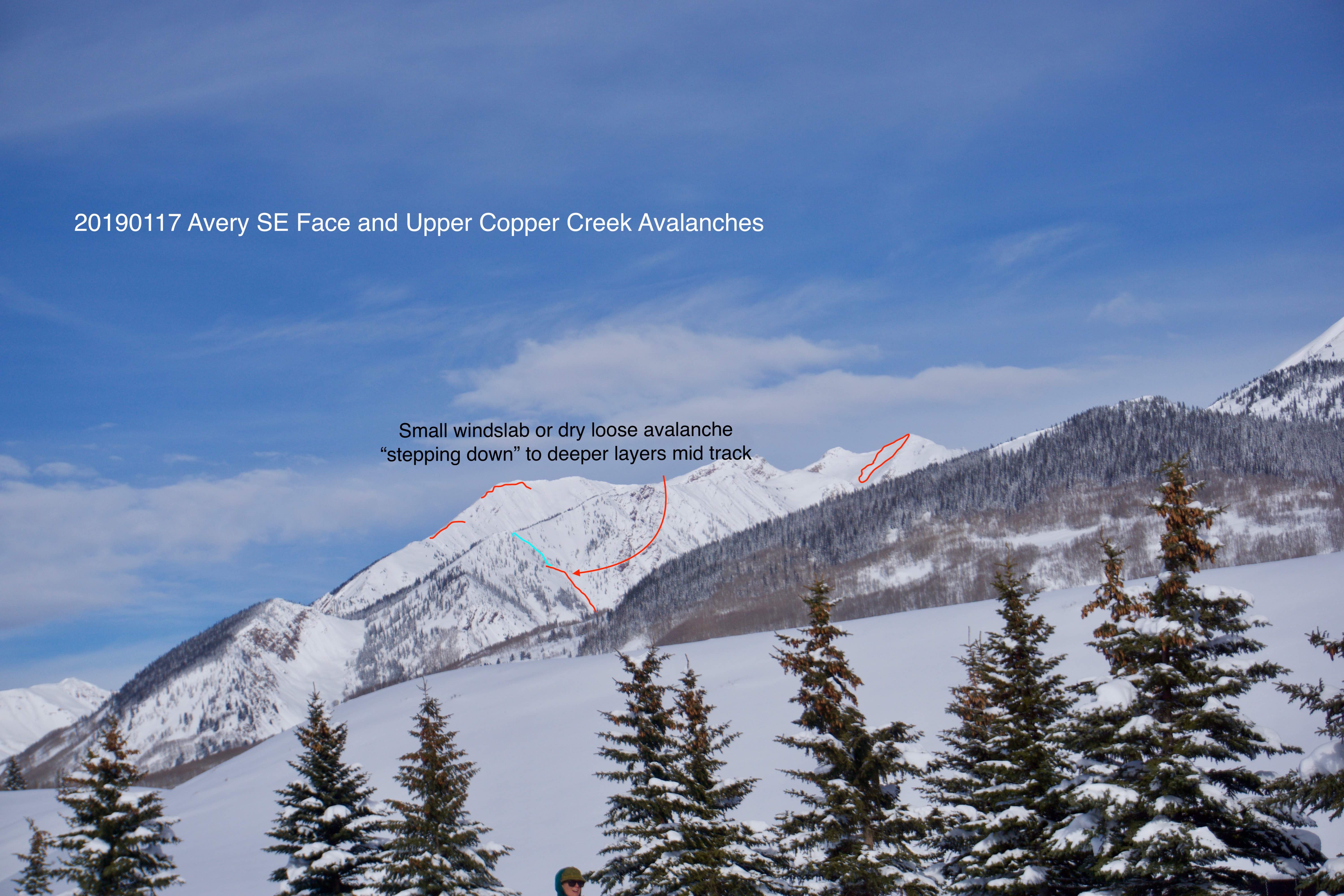
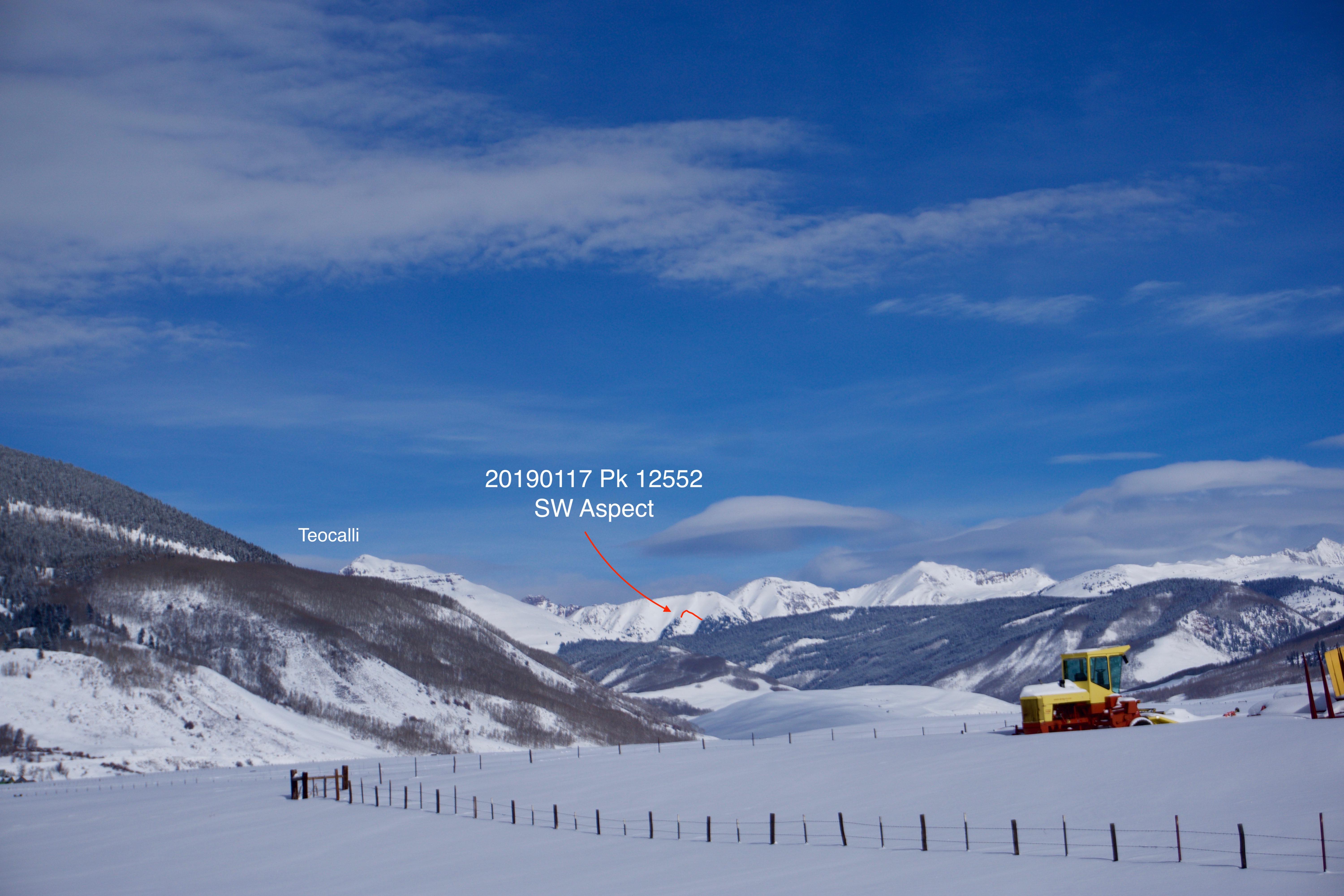
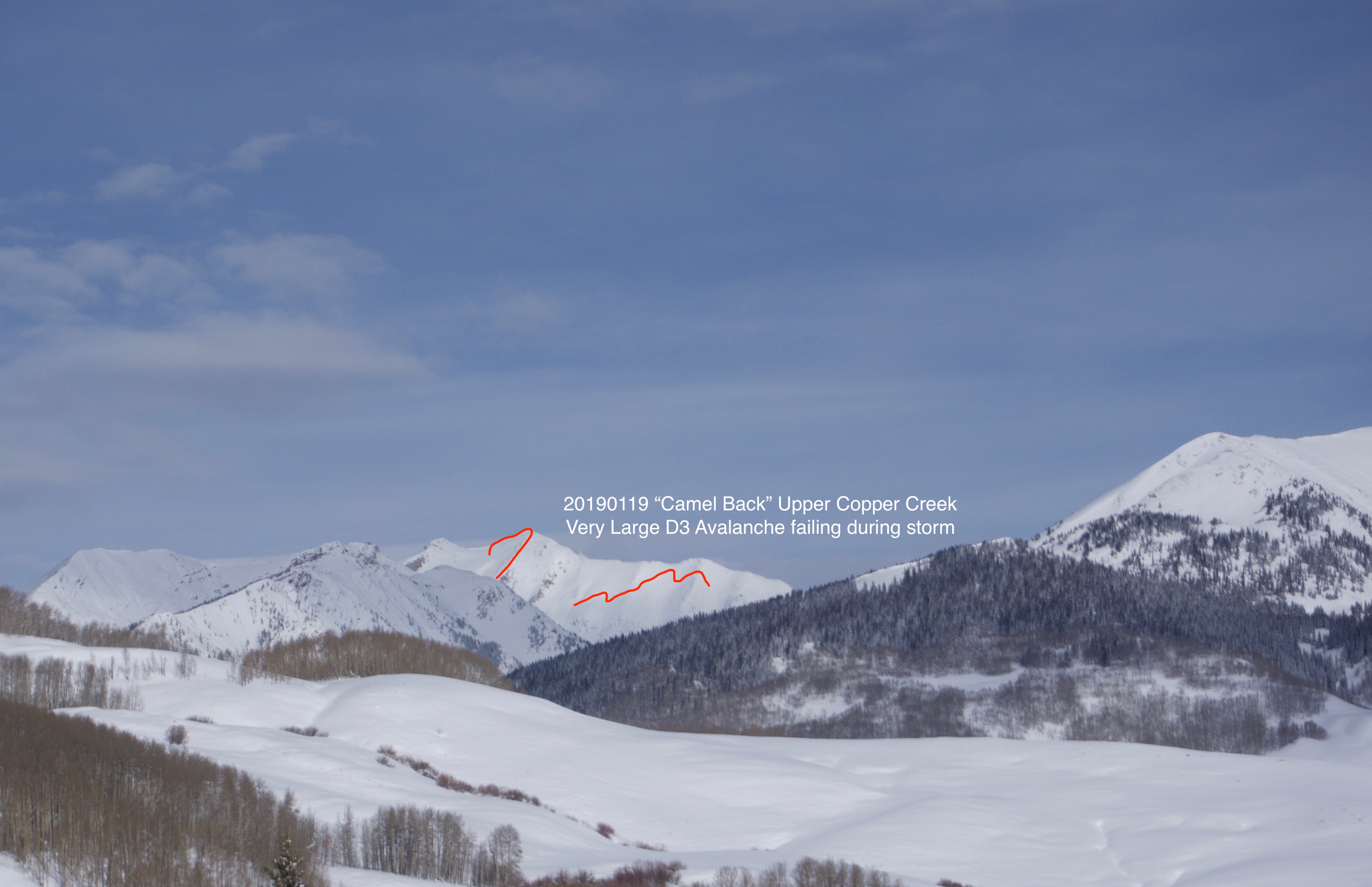
Photos: