Location: Crested Butte Area
Date of Observation: 03/07/2019
Name: Eric Murrow
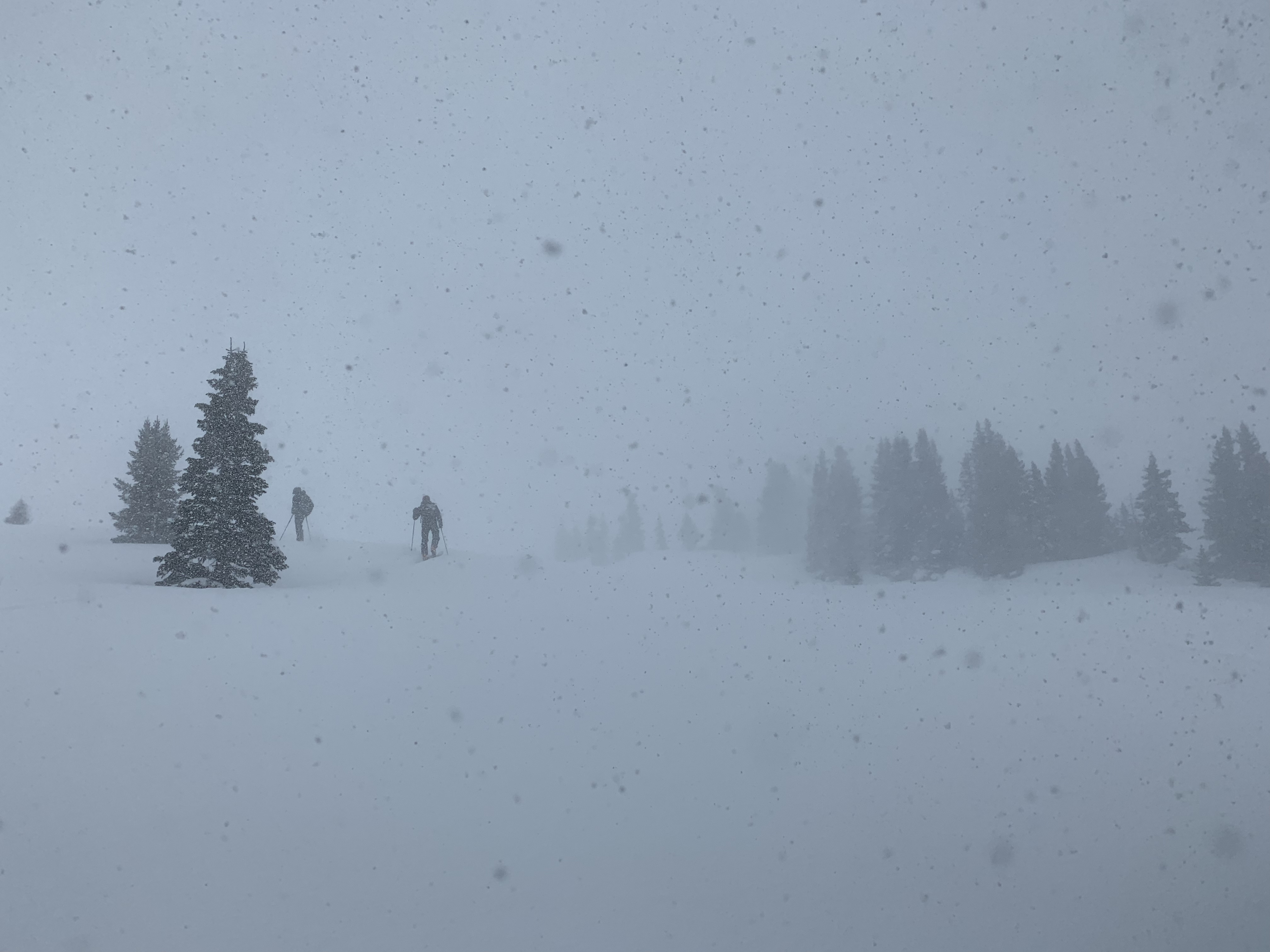
Subject: visible avalanches with poor light
Avalanches:
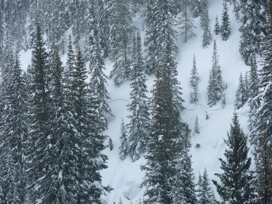
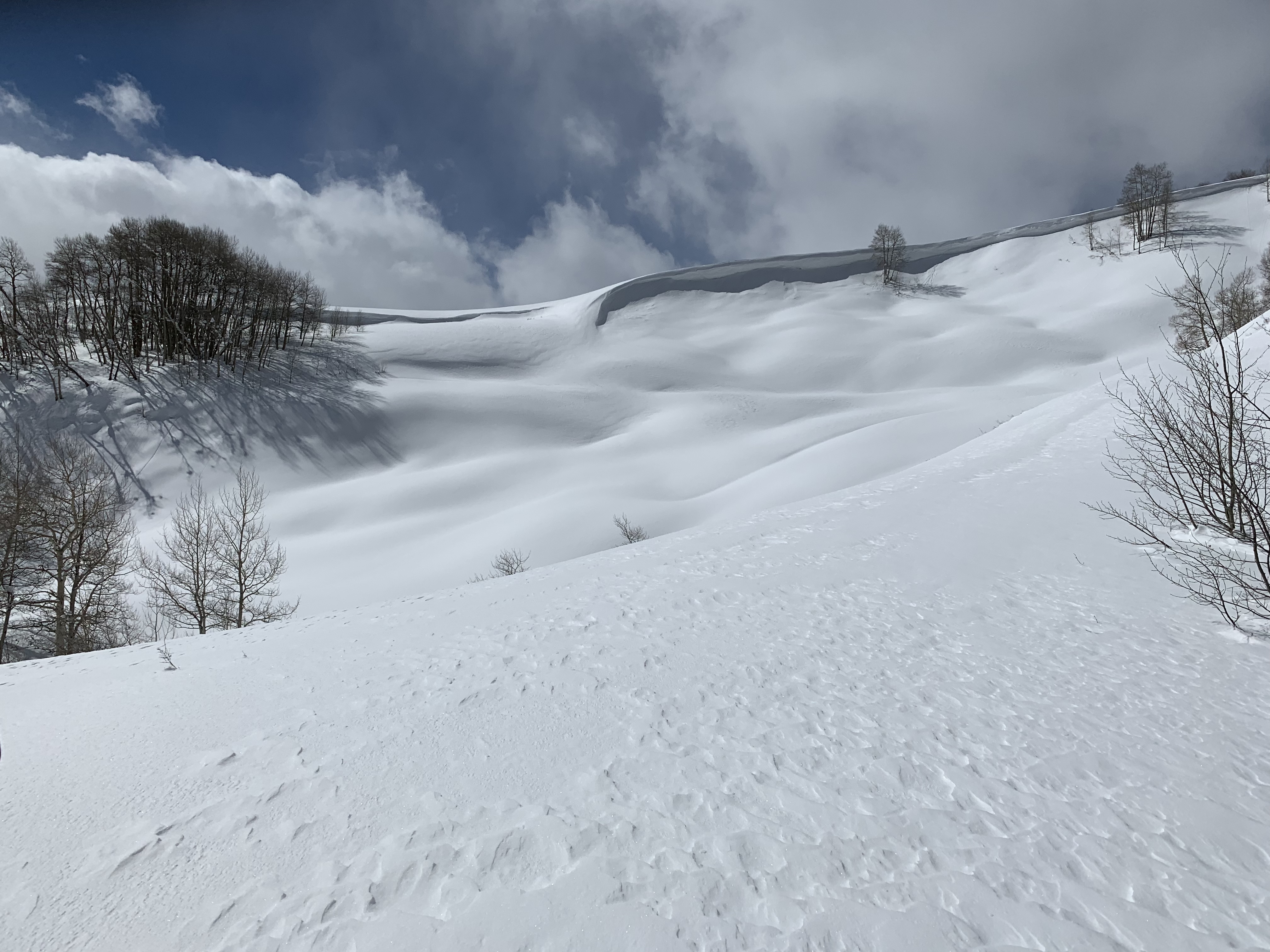
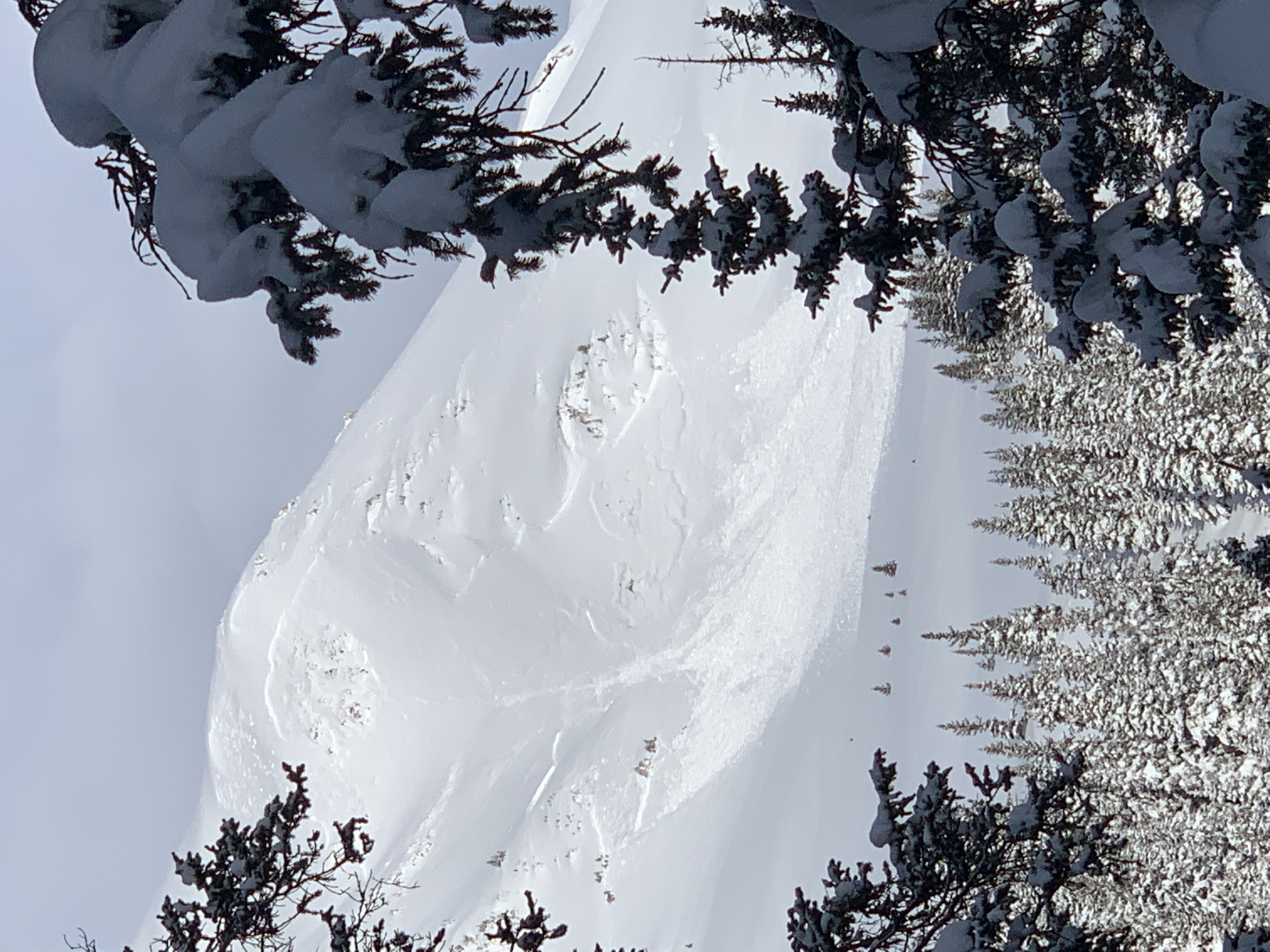
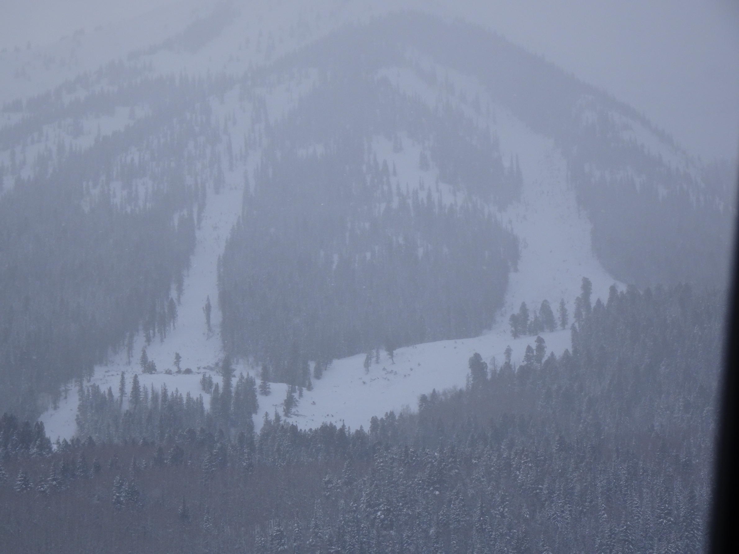
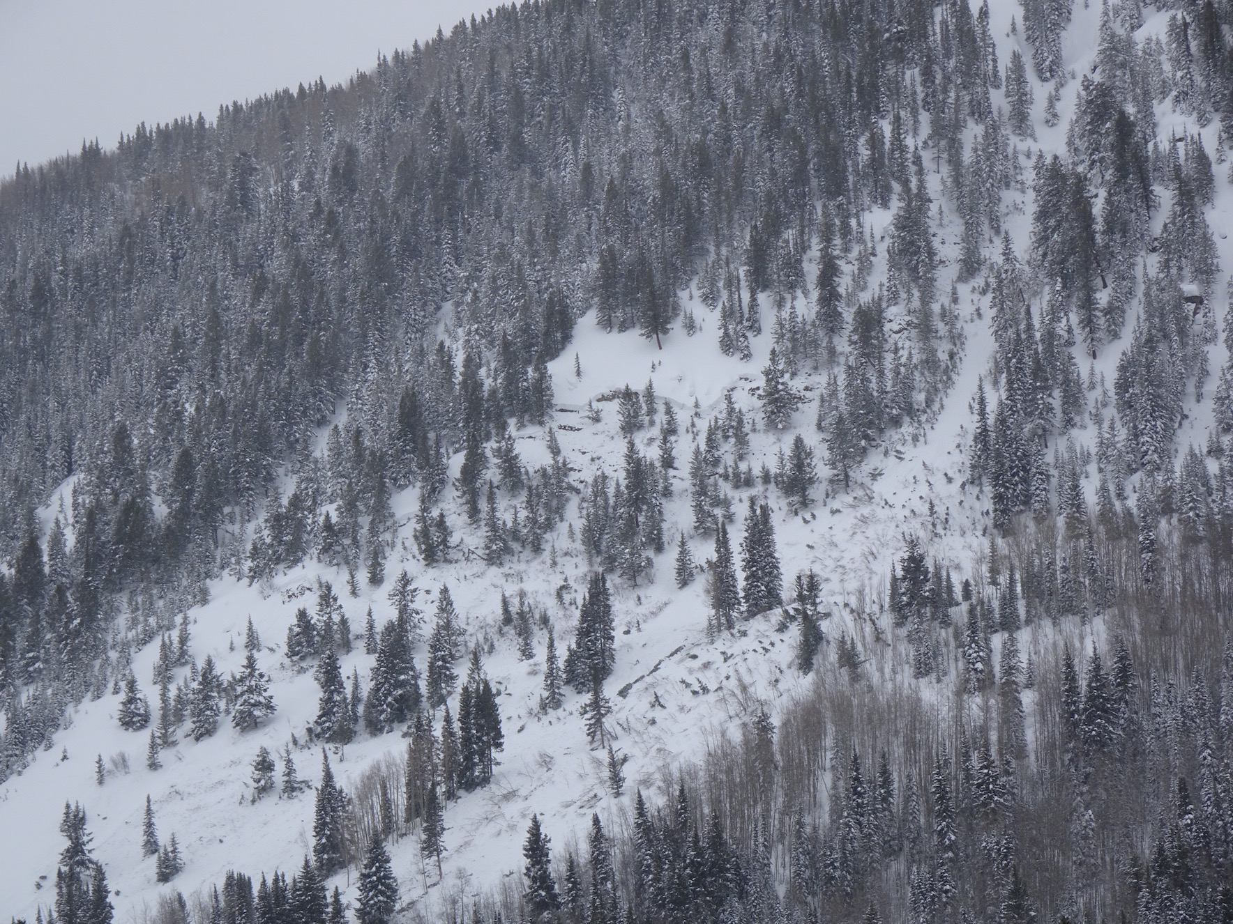
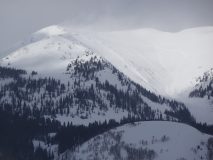
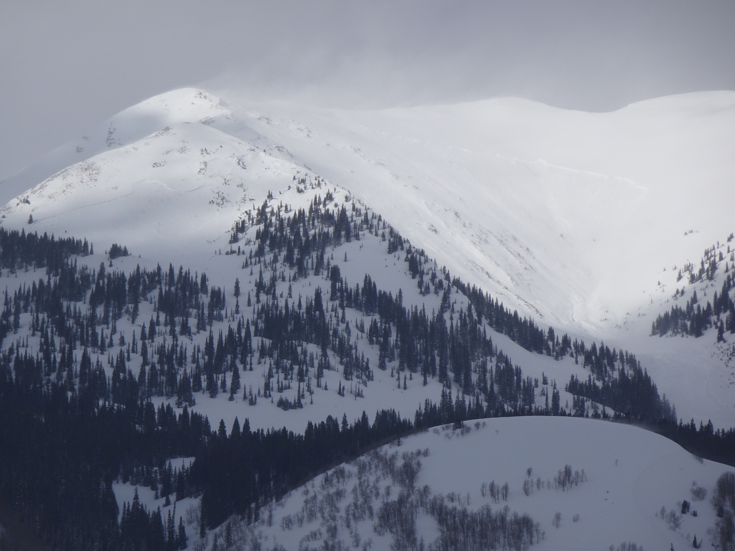
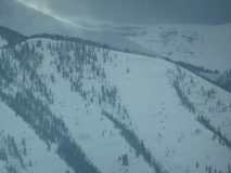
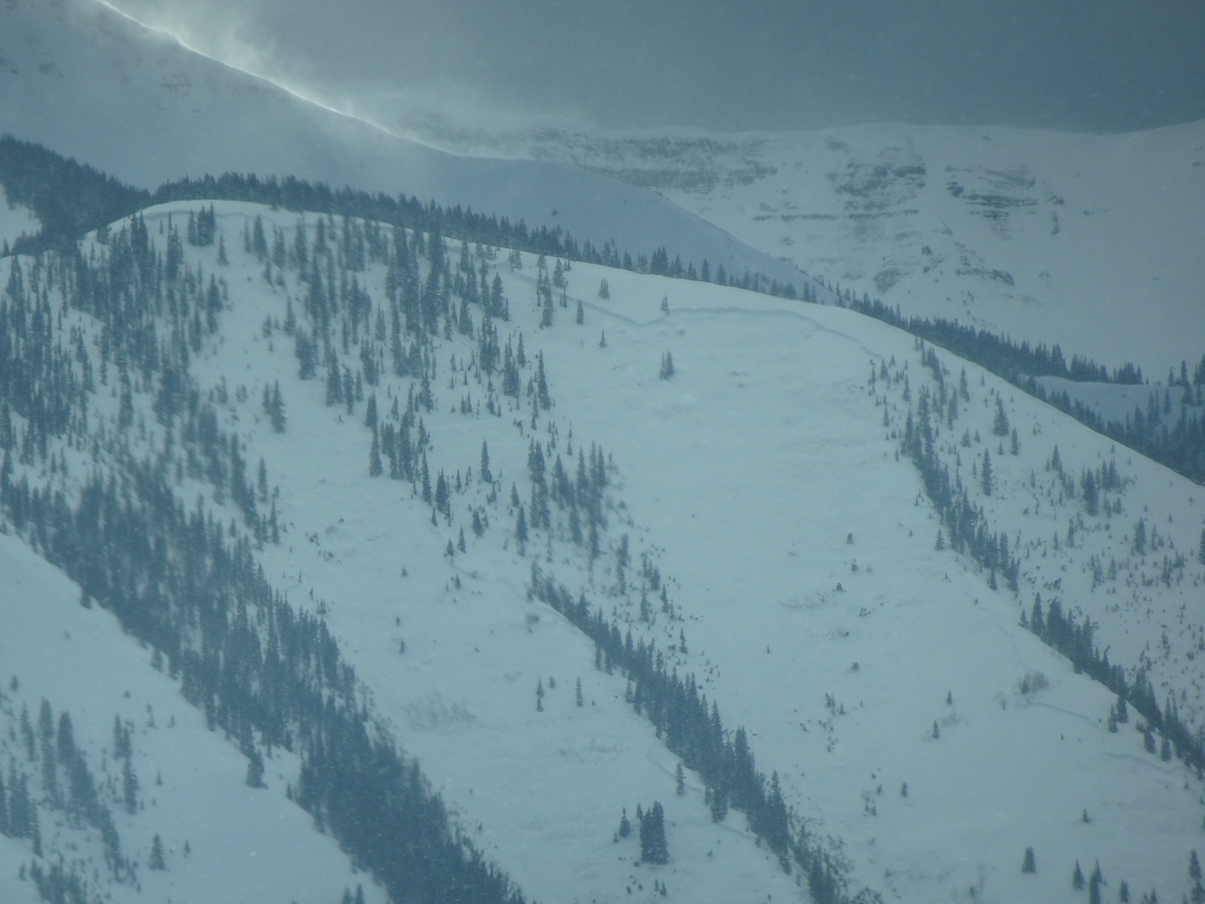
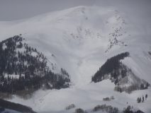
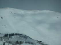
Red ridge to WSC peak ridge had numerous slide. Unemployment Chute significant slide. Phoenix on Gibson ridge released really big for the path – trimmed fresh timber. A glimpse into Red Lady Bowl looked like major bowl width slide. Climax failed impressively. Slope below and above SE end of Long Lake. Two paths on Whetstone between x chutes and Barcelona Bowl looked to have knocked down a few trees. Several other deep crowns below treeline in strange spots. Vis was poor and it sure looked like there was destruction in other places with trees missing and skid marks in basins but could not see well enough to confirm maybe tomorrow.
-
- Whetstone between X-Chutes and Barcelona Bowl
-
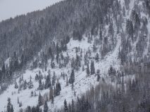
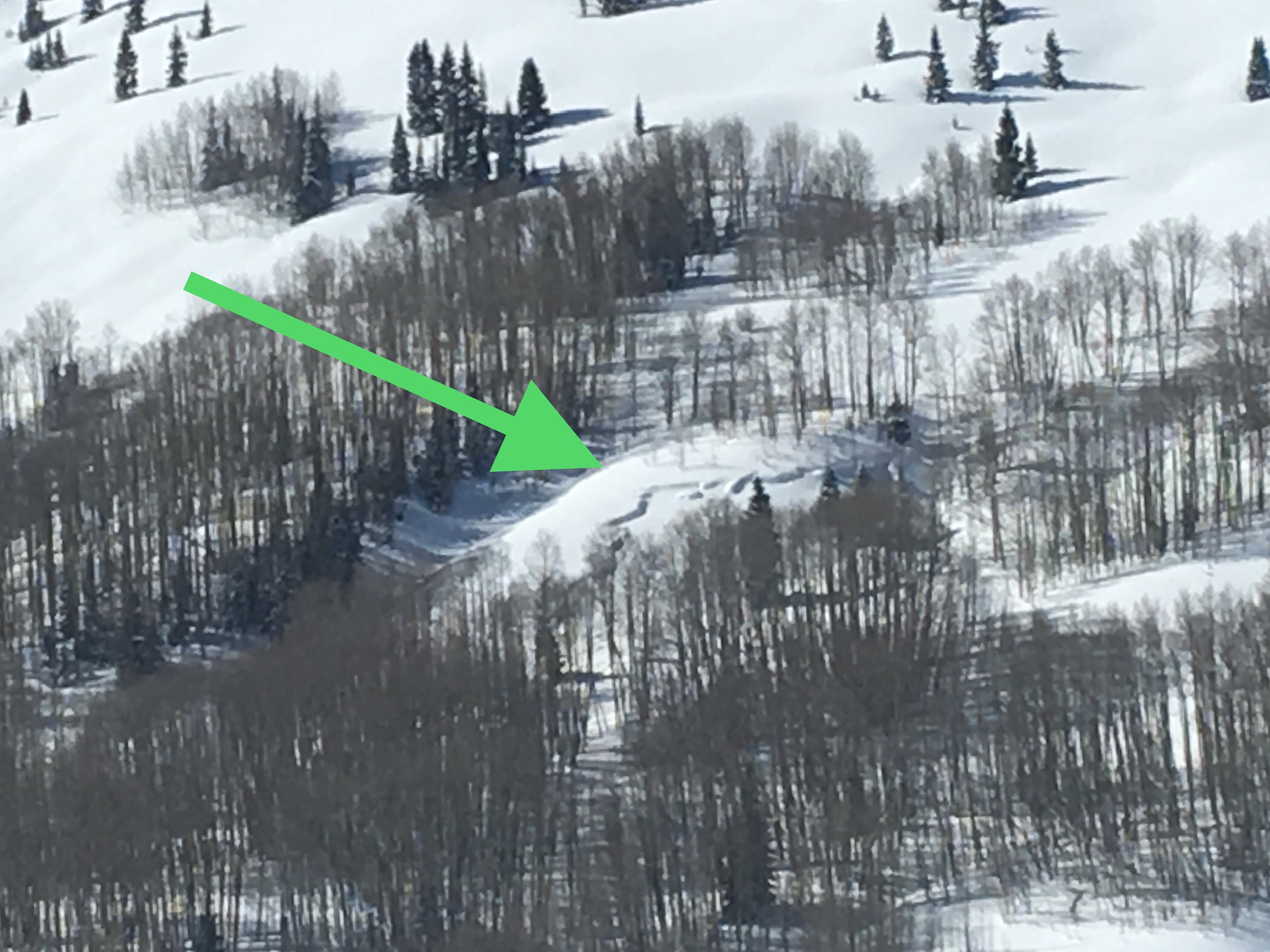
- Unemployment Chute
-
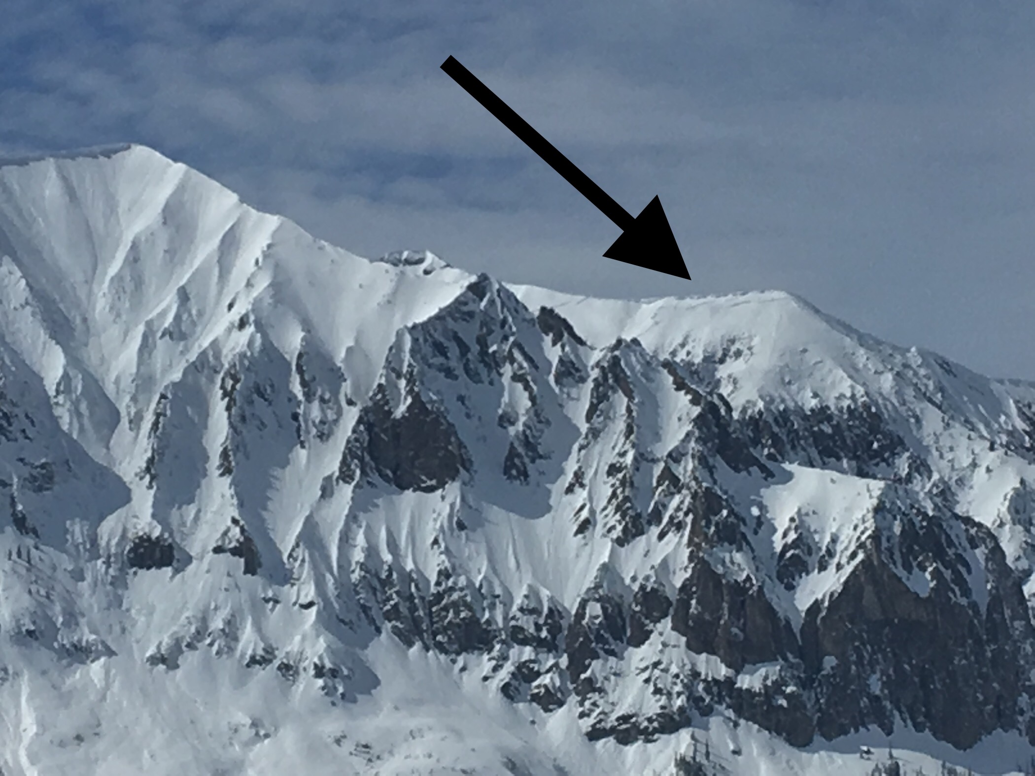
- Red Ridge
-
- Climax
-
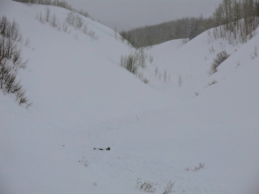
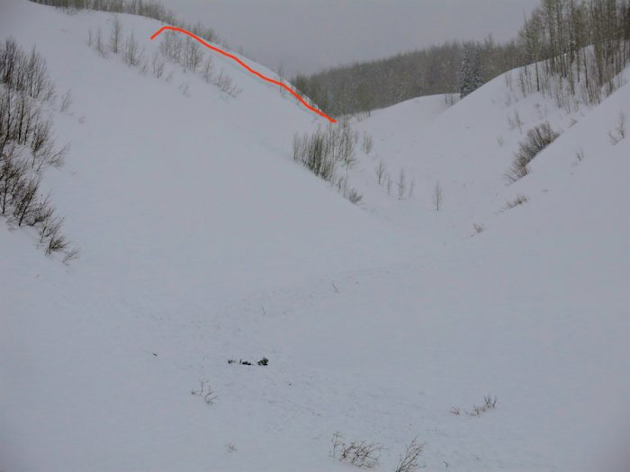
- Below Long Lake – SE end

-
- Red Ridge

-
- WSC ridge

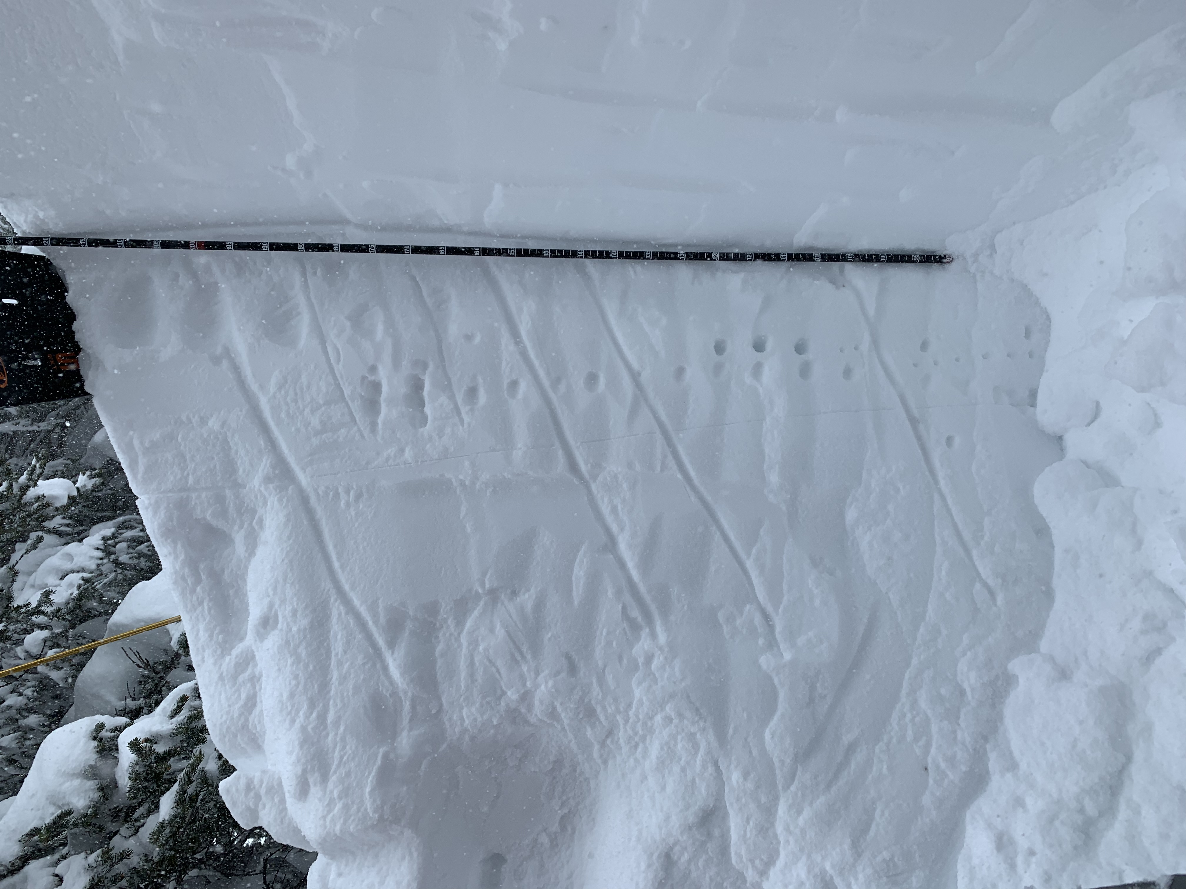
Photos: