Ruby Range

CB Avalanche Center2019-20 Observations

Location: Kebler Pass Area
Date of Observation: 01/19/2020
Name: Evan Ross
Subject: Ruby Range
Aspect: North East, East, South East, South
Elevation: 10,600-12,600ft

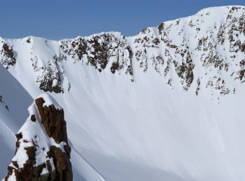
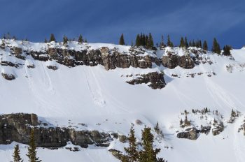
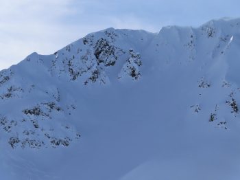
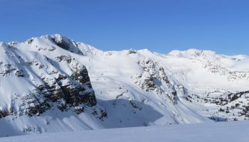
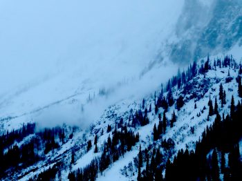
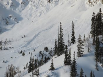
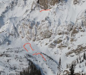
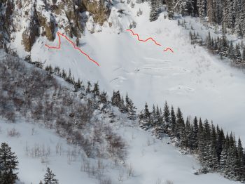
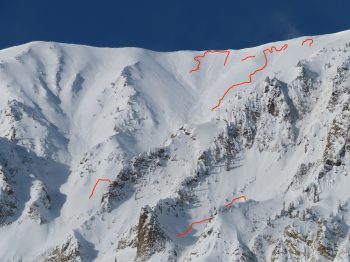
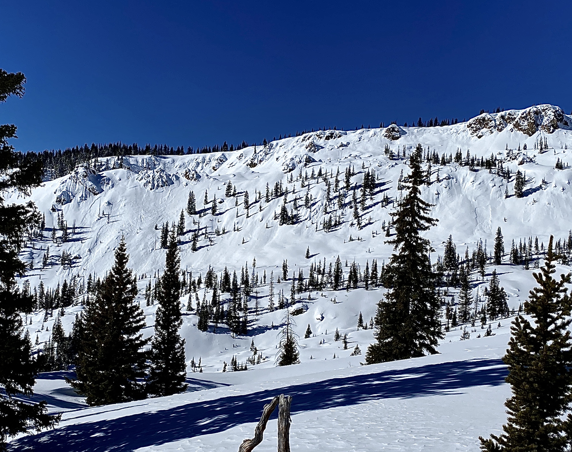
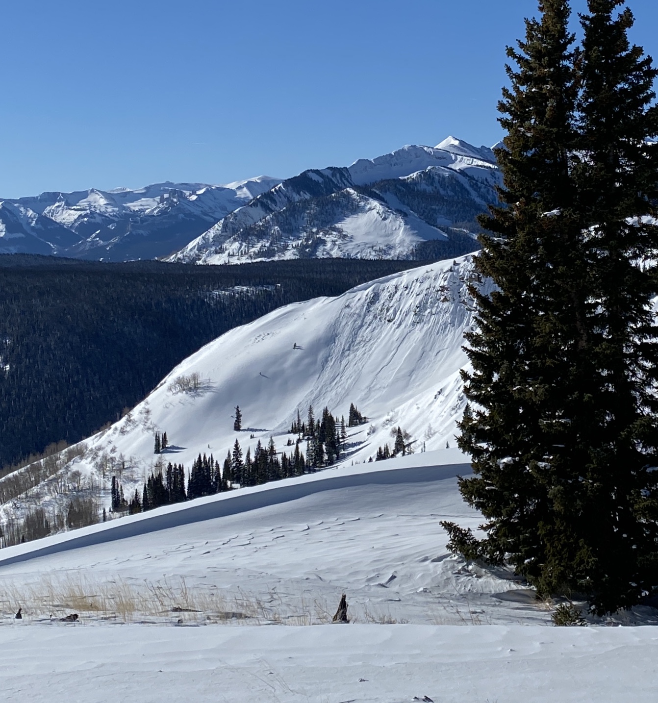
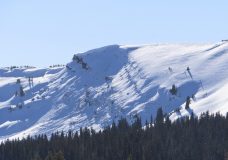
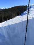
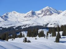
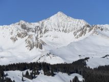
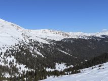
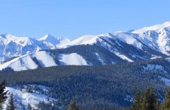
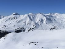
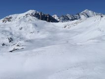
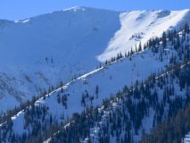
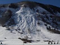
Avalanches: Looking down the spine of the Ruby Range, there were no signifiant recent avalanche results. Some things were probably smoothed over quickly during the extreme wind event on Friday. Otherwise simple storm slabs and shallow wind-slabs here and there, with nothing obviously deep.

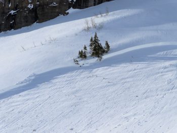
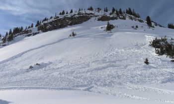
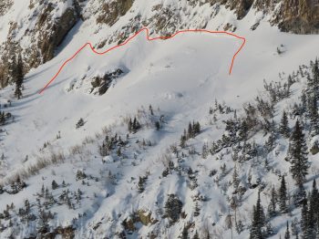
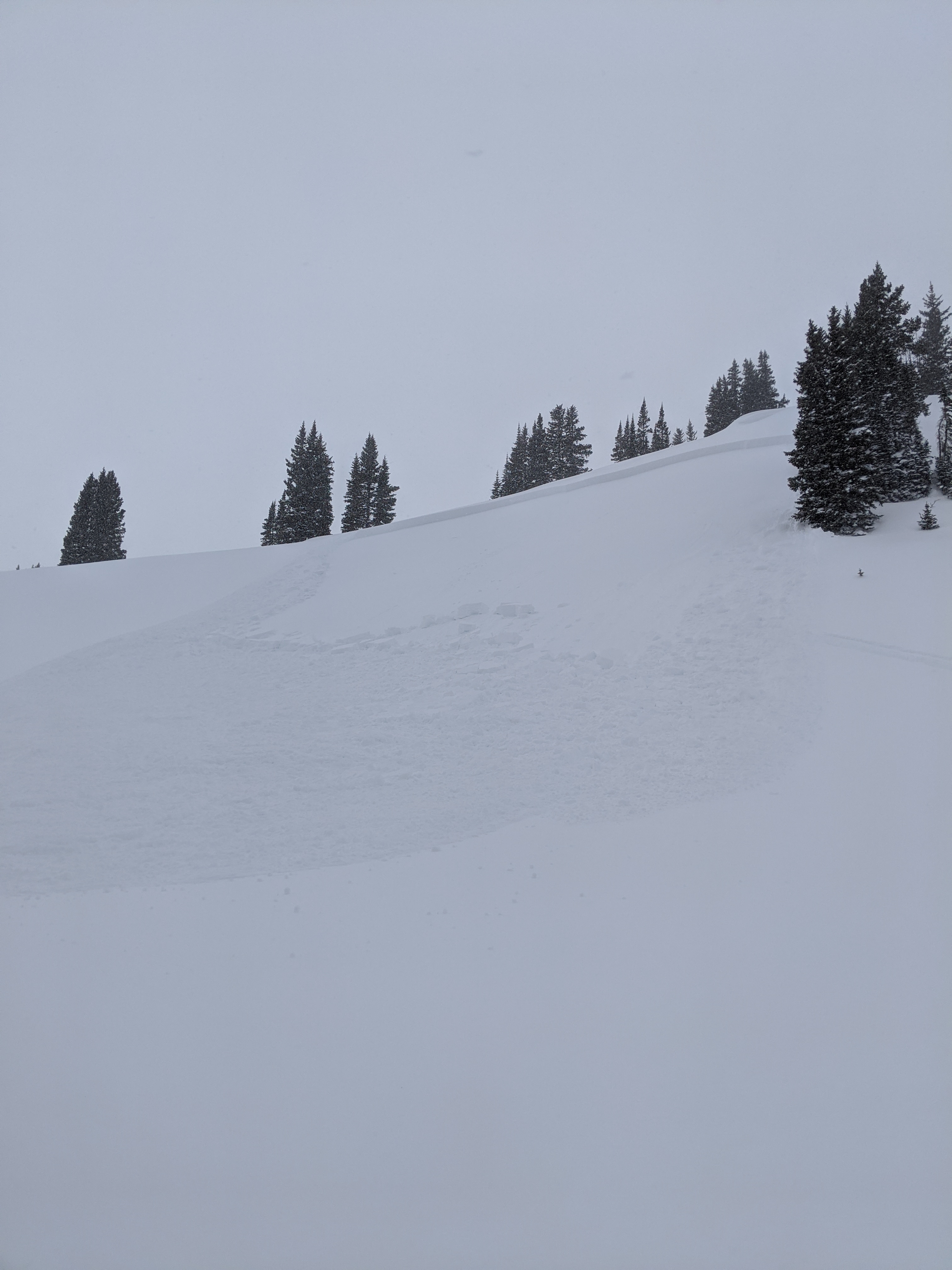
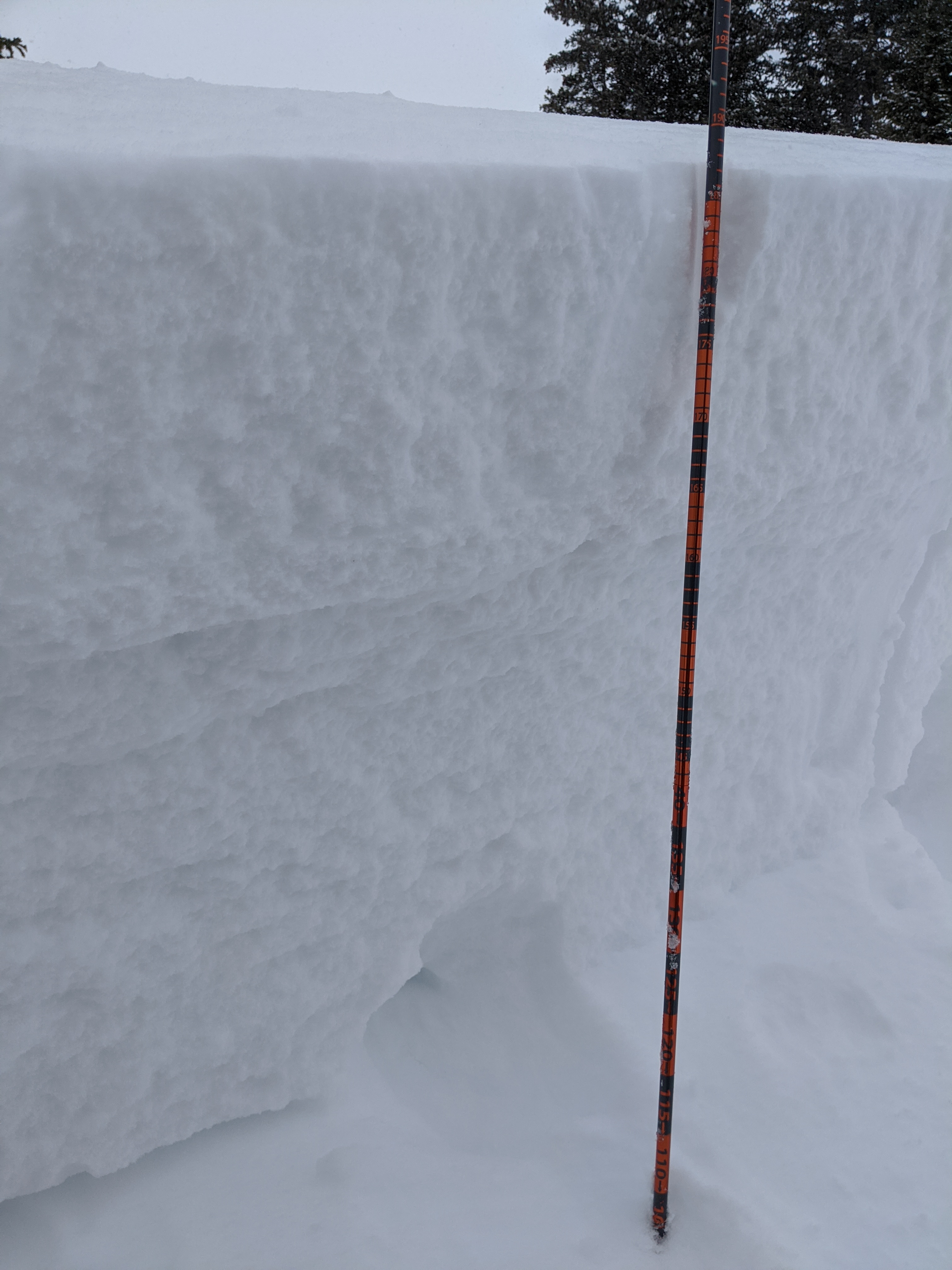
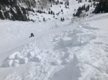
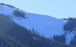
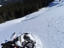
Estimated Snow Bike triggered avalanche from low on the slope. ESE aspect, 11,100ft elevation. Estimated 80-100cm crown. Interesting that the crown wasn’t higher on the slope or that it didn’t propagate wider. Maybe SH pocket as this is somewhat low in Robinson Basin and protected from some wind.

Weather: Lovely day out there. Calm to light winds in the alpine, moving a little snow on the highest peaks. Clear sky in the morning, high clouds for the middle of the day and back to clear in the late afternoon.

Snowpack: Worked the terrain to avoided obvious wind-loaded features. Otherwise traveled fairly aggressively. Lots of folks and different user groups stepping out more and more aggressive tracks.
We mostly traveled near and above treeline. The snowpack was dense with boot pen around 30 cm. The snow surfaces were riding really well thanks to the last 8-10″ of snow that fall on Friday night into Saturday as the winds were deceasing.

Steep southeast and south slopes had some roller balls and a couple loose snow avalanches given the warm temps and good solar.

Pictures Of Recent Avalanches

CB Avalanche Center2019-20 Observations

Date of Observation: 01/18/2020
Name: Zach Kinler And Evan Ross
Subject: Gothic Avalanches
Aspect: North East, East, South East, South
Elevation: 10,000-12,000′

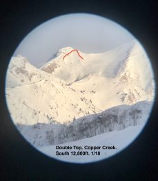
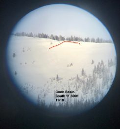
Avalanches: Gothic Mountain, Double Top, Coon Basin.
5x SS-N-D1-I
3x SS-N-D1.5-I
1x SS-NL-D1.5-O
1x SS-N-D1.5-O
1x SS-N-D2-O
1x SS-N-D2-I
HS-N-D2-O, SS-N-D1-I

Avalance near Washington Gulch

CB Avalanche Center2019-20 Observations

Location: Paradise Divide Area
Date of Observation: 01/18/2020
Subject: Avalance near Washington Gulch
Aspect: East
Elevation: 11,100

Avalanches: Snowmobile triggered avalanche on an easterly, heavily wind loaded slope. Crown was appx 80-90cm deep and ran on what seemed to be an old surface hoar layer from before Jan 13th storm. Crown was appx 80-90m across and propagated near the top of slope. Slide ran appx 400ft. Slab was consistently dense (wind affected snow) aside from the top 6″ of fresh storm snow. No riders were caught.

Anthracite Mesa-Coneys

CB Avalanche Center2019-20 Observations

Location: Crested Butte Area
Date of Observation: 01/18/2020
Name: ADB
Subject: Anthracite Mesa-Coneys
Aspect: North East, East
Elevation: BTL

Avalanches: Photos did not show well in poor light up so none are attached. Schuylkill: hard to see but thought saw LS-R0.5-D0.5 below riddgeline and a HS-R1-D1.5 in adjacent drainage that began below cornice. I don’t think slide resulted from recent storm.

Weather: Blowing snow on Baldy ridgetop at beginning of tour. Light winds on ridgeline with snow movement. Air temperature dropped on the way out to the road. Skies were obstructed switching to obscured skies with S-1 snowfall.

Snowpack: N instabilities on or off the skin track. Fence line in valley bottom skin track is less than 1 inch from snow surface. About 2 to 4 inches of new snow. New snow filled in skin track but didn’t obscure it completely except in the flats. Qualitatively speaking: new snow has more water content than last Saturday’s storm snow at same site.

Remotely Triggered Avalanche Mt Emmons

CB Avalanche Center2019-20 Observations

Location: Kebler Pass Area
Date of Observation: 01/17/2020
Subject: Remotely Triggered Avalanche Mt Emmons

Avalanches: Remote triggered one large slab avalanche. Crown depth was around 2′ deep, but we were in lower angled terrain above and couldn’t really see anything other than the crown since the terrain rolled out of sight below. Test slopes were easy to crack. Saw a couple of natural avalanches, but we could not make out how far they propagated in steep terrain because the visibility was too poor.
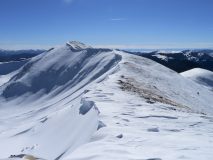
Weather: S2-S5 all day, with unrelenting westerly winds. Visibility remained poor.

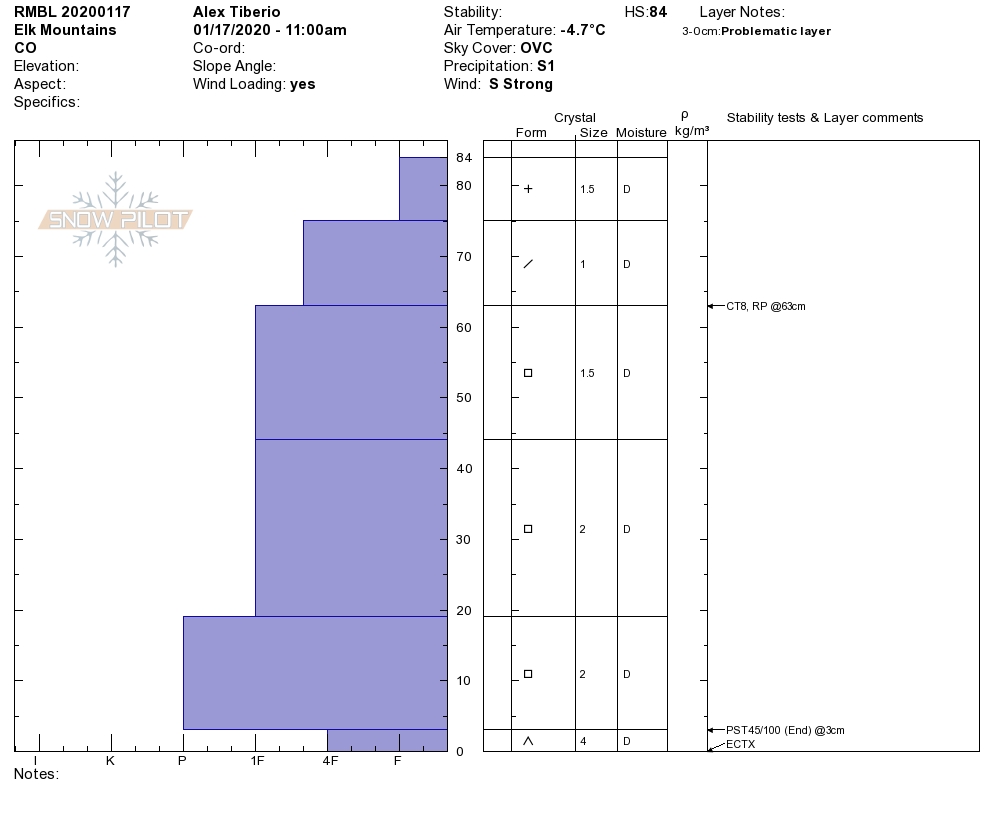
Snowpack: Dangerous conditions developed by the afternoon. Soft, dense drifts up to 3 feet. The most dangerous snowpack we found was where 2-3 foot deep drifts built on buried melt-freeze crusts on southeasterly terrain near and below treeline (we didn’t get above treeline). Easterly-facing slopes without crusts had more load (3+ feet deep drifts), but seemed less hair-trigger. We observed many slope-wide collapses where drifted snow overloaded thin crusts with facets below, or even just overloading weak faceted layers in the upper snowpack. We measured 2.5″ SWE above a faceted crust on a lightly drifted slope at 11,400′. This 2.5″ SWE is the 2020 snow total and the weakness below was formed in late December. This ~30 degree slope collapsed and cracked but was not quite steep enough to slide. This seemed to be theme for the afternoon as we travelled through 20-25 degree slopes with widespread and obvious signs of instability. We extrapolated that we would have been likely to trigger a large avalanches in more consequential terrain.
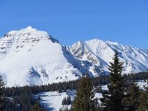
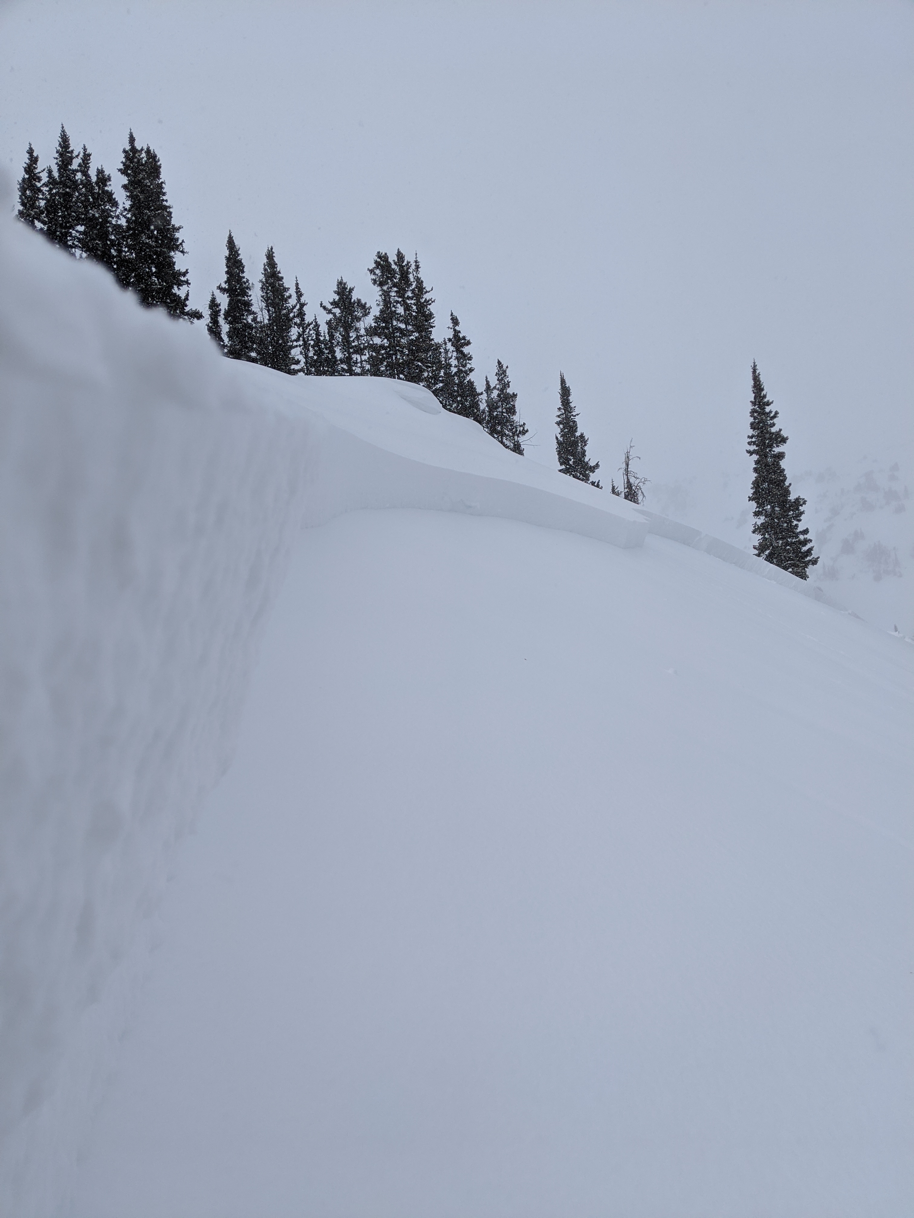
A natural avalanche had run a short while before we approached this steep slope. We couldn’t see how far this slide propagated into the steep terrain that lies out of site.

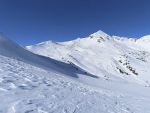
This slope collapsed and we watched cracks shoot out beyond how far we could see. Where the slope rolls-over below a slab avalanche broke and ran out of site. The ~2 foot deep crown is just visible in the center of the image.

AM Coneys

CB Avalanche Center2019-20 Observations

Location: Crested Butte Area
Date of Observation: 01/16/2020
Name: Joey Carpenter
Subject: AM Coneys
Aspect: North, North East
Elevation: 9600-10900

Avalanches: Lots of old crowns. There was some freshish looking debris at the bottom of one of the W Gothic shots, but I couldn’t see a crown from where I was.

Weather: When I got in my car, it was -6. By the time I left the TH (7:15a), it had warmed up to -4 and all my fingers hurt. Lenticular clouds hung out above visible peaks, otherwise sky was pretty clear. Thin stratus cloud cover increased as I worked towards Coneys. By the time I was through the meadows and into the trees on the ascent, only my thumbs hurt, so it must’ve been closer to single digits. After I navigated the 3, yes…3 different criss crossing, braiding, winding ascent tracks going up to the ridge (it’s possible I even skinned downhill for a bit, it was confusing, I got lost), it felt closer to double digits because my hands didn’t hurt anymore. When I was back at the car, it had made its way up to 16, so that was nice. Winds were calm the whole time.

Snowpack: Small/med sized surface hoar (3-4mm est) in the classic areas of development in that zone. The open pitches at the bottom of the climb, a couple open spots on the ascent, and along the tree fences on the N side lap track. Recent winds have ravaged alpine and even NTL zones. The W face of Gothic looks like Aetna usually does with the windward features bare and leeward ones packed with snow.

Human Triggered Persistent Slab

CB Avalanche Center2019-20 Observations

Location: Crested Butte Area
Date of Observation: 01/16/2020
Name: Evan Ross
Subject: Human Triggered Persistent Slab
Aspect: East, South East, South
Elevation: 9,000-11,000

Avalanches: Human Triggered a large Persistent Slab Avalanche on a cross-loaded east facing slope at 10,800ft. The slab average 1.5ft thick, was F to 4F hard, and failed in 1.5 to 2mm NSF on the 1/8 interface. A few parts of the avalanche gouged deeper into the snowpack. AMc-SS-R1-D2-O

Weather: Increasing clouds in the morning becoming overcast. Calm winds. Weather stations showed temperatures rising to near 30 at 11,000ft.

Snowpack: Headed to Evan’s Basin to check on recent avalanche activity. I would estimate that many of these slabs ran in the storm snow on non-persistent grains given their size and propagation. Digging near one of those crowns on an east-facing slope, produced a clean shovel shear tests within the recent snow on non-persistent grains. At that test profile site, the elevations was 11,150, east aspect, slope angle was about 34 degrees, and the HS was 120cm. The 1/8 interface consisted of 1mm rounding faceted grains. CT18 RP on the 1/8 interface. The rest of the snowpack in this location wasn’t concerning without a big loading event that could break deeply into that snowpack.

The triggered avalanche was on the same aspect as the above test slope. The differences was a slightly lower elevation, but mainly a cross-loaded slope. The slab above the 1/8 interface was more cohesive, and the interface was noticeably weaker. I’m not 100% sure why the interface was so different between the two locations. My best guess is that the snowpack were the avalanche was triggered, had a below average snowpack height previous to the last wind event.

Mt Emmons avalanche activity

CB Avalanche Center2019-20 Observations

Location: Crested Butte Area
Date of Observation: 01/15/2020
Name: MR
Subject: Mt Emmons avalanche activity
Aspect: East, South East, South
Elevation:

Avalanches: Forgot to take pictures of the bowl – 2 small windslab avalanches near the center and looker’s right rock bands that didn’t run far. Multiple small avalanches NE aspect near the skin track running down into the bowl.

Moonscape area, evan’s basin, SE to E aspect, see photos. Multiple small to large avalanches.

Snowpack: Crazy wind carnage. Ridge approaching summit near field goal practically stripped bare. Bare spots also down in the bowl and on the eastern ridge above red coon glades.

Glades held a mixture of wind effect, sun crusts, wind stiffened pow, and preserved pow.

Cement Creek Check In

CB Avalanche Center2019-20 Observations

Location: Cement Creek Area
Date of Observation: 01/15/2020
Name: Evan Ross
Subject: Cement Creek Check In
Elevation: 9,000-11,500

Avalanches: Recent natural avalanches included a couple large persistent slabs on northerly facing terrain near and above treeline, and several small wind slabs primary on easterly facing slopes.

Weather: Few clouds and calm winds.

Snowpack: The general summary would be a variable snowpack that is heavily wind effected on everything but the most protected lower elevations areas. I didn’t encounter any concerning snowpack structure at those lower elevations slopes. Cross-loading at those lower elevations didn’t appear to be an issue either. At mid and upper elevations the snowpack is raked by the recent winds. Lots of bare ground, wind-board, or stubborn hard slabs. Easterly facing slopes had the most continuous snowpack. For the area, these wind-loaded easterly facing slopes would be the most concerning slopes for triggering a persistent slab avalanche.