Large Whetstone Natural – North/NW

CB Avalanche Center2018-19 Observations

Location: Crested Butte Area
Date of Observation: 03/13/2019
Name: Scott Hetherington

Subject: Large Whetstone Natural – North/NW
Aspect: North, North West
Elevation: ~12000′

Avalanches:

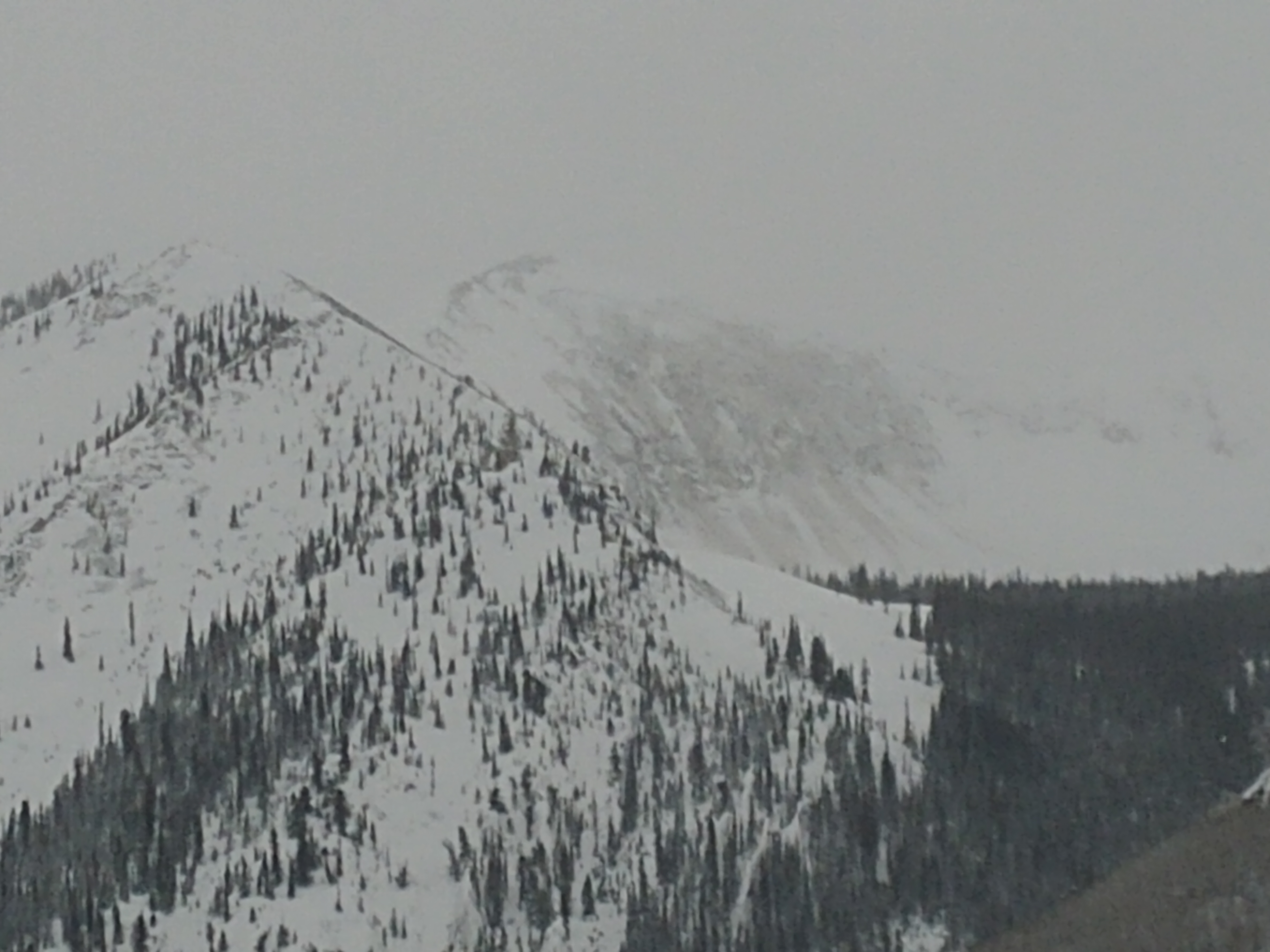
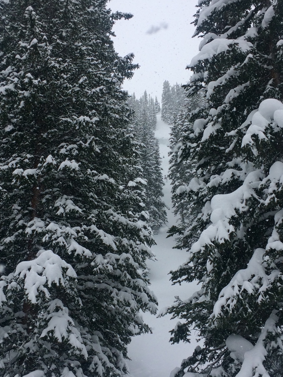
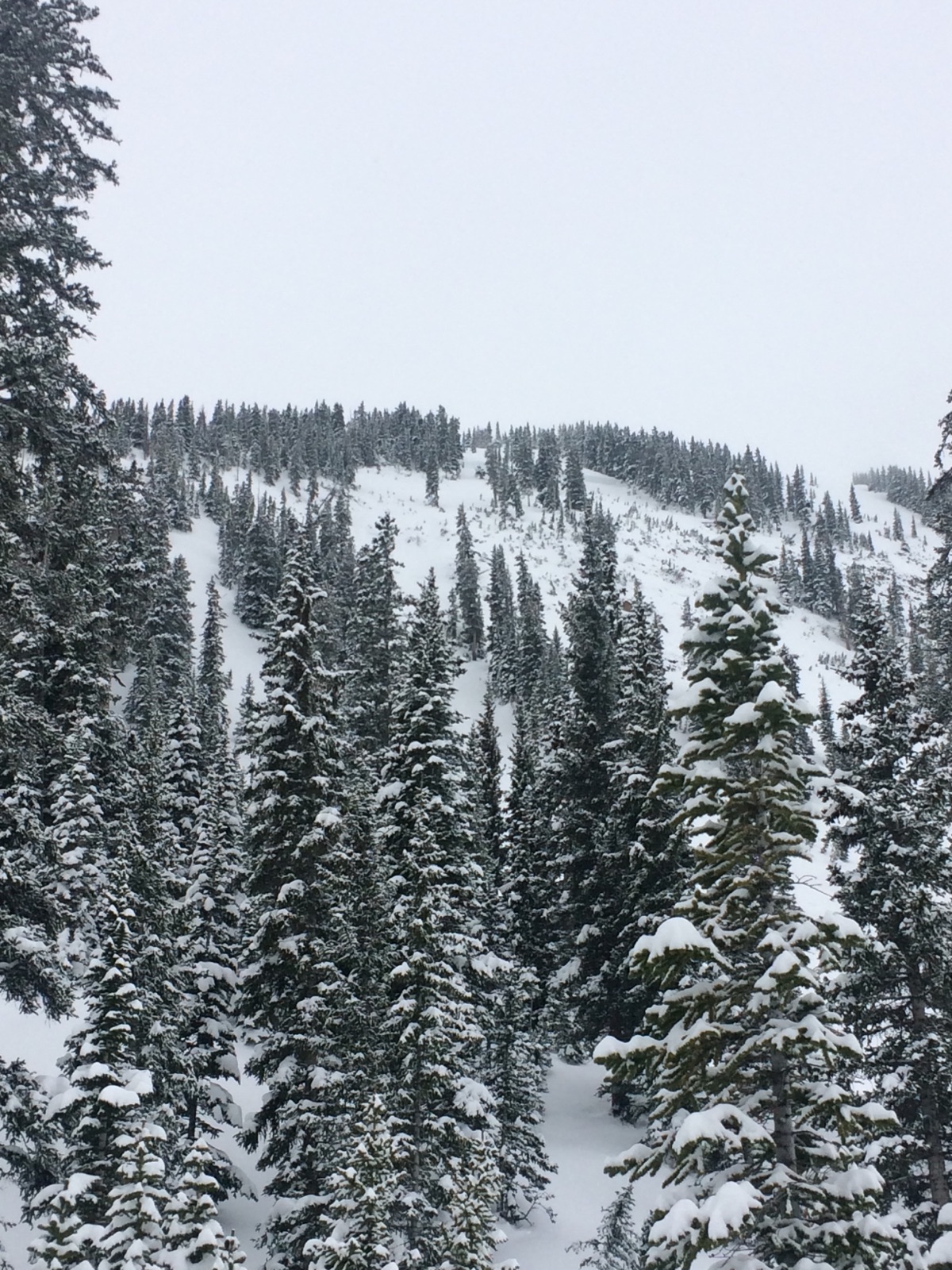
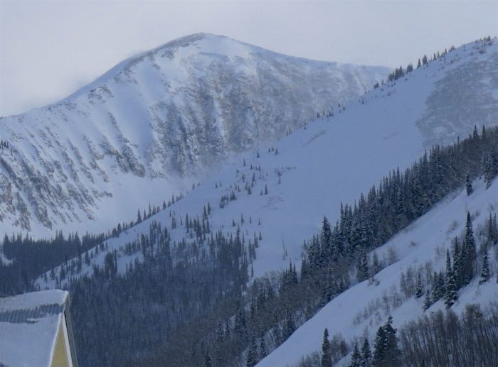
Looks like a very large natural slide on Whetstone. Too far away to estimate crown height. Almost looks like it went to ground, perhaps on the buried persistent slab. Estimated it ran sometime, late morning, early afternoon of 3/13. Sorry about the low quality pic.

Weather: Overcast, Snowing Light to Moderate, Observed winds SSW, gusts to 20 mph at 8800′

Snowpack: No obs

Photos:

Poverty Gulch

CB Avalanche Center2018-19 Observations

Location: Paradise Divide Area
Date of Observation: 03/12/2019
Name: ESN

Subject: Poverty Gulch
Aspect: South West, West
Elevation: 9-11k

Avalanches:

South and south west aspects of Purple Ridge slid full track. Hundreds of trees destroyed, ski lines altered. Workshop destroyed, no injuries, no one was in the vicinity last Wednesday-Thursday when avalanches occurred.

Weather: Snowing

Snowpack:
Photos:

Brush Creek and wet slabs near town?

CB Avalanche Center2018-19 Observations

Location: Brush Creek Area
Date of Observation: 03/12/2019
Name: Eric Murrow

Subject: Brush Creek and wet slabs near town?
Aspect: North, North East, East, South East
Elevation: 8,900-10,000

Avalanches:

Numerous BTL avalanches around the compass. Most of these looked to have failed around 3/7 and a few failed around 3/1-3/3 period. Shallest areas failed in basal facets and deeper locations looked to have failed at the new/old interface. Some crowns on sunny slopes propagated impressive distance through aspen forests.

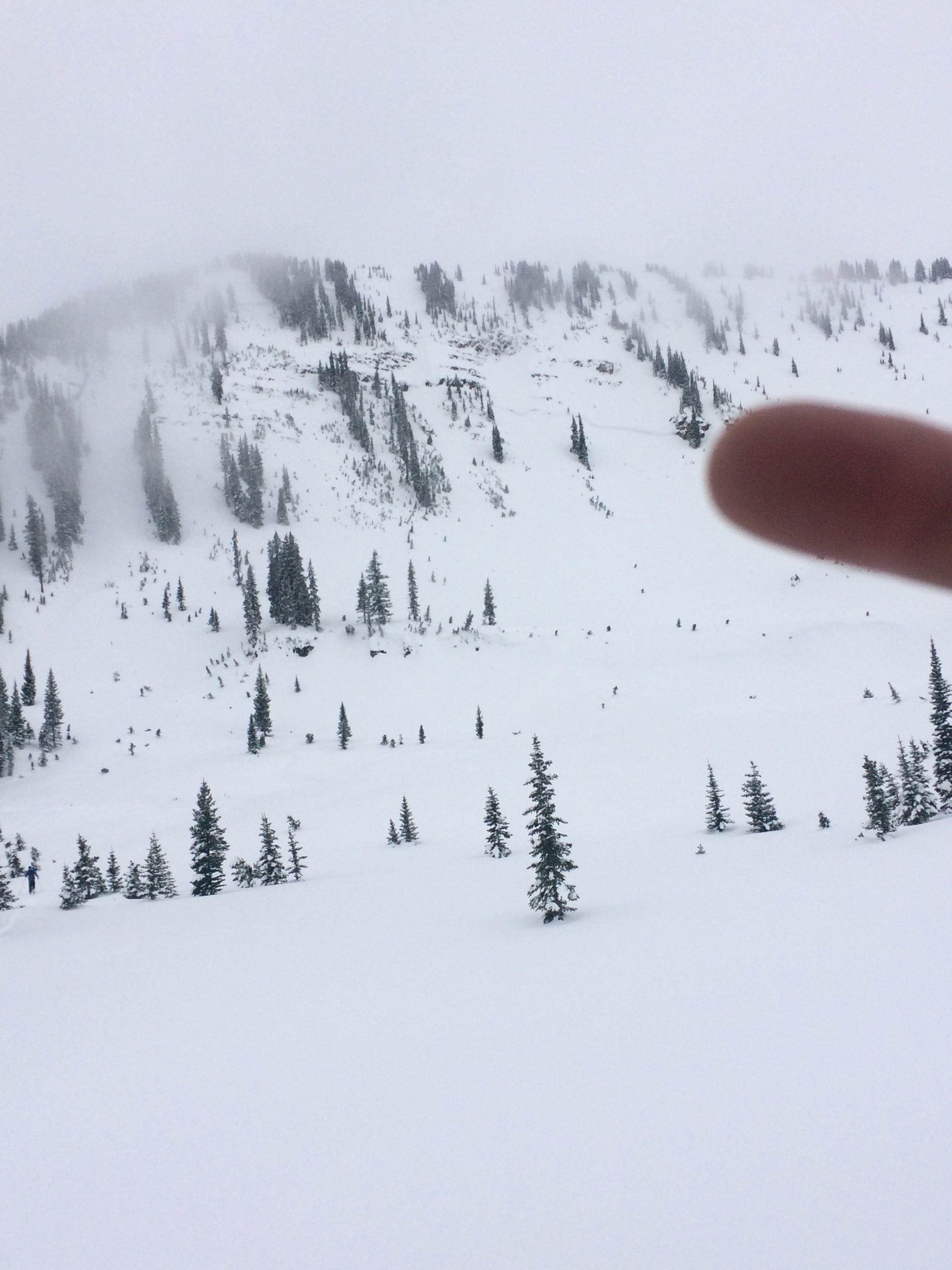
When we returned to Crested Butte at about 445-noticed Gibson Ridge failed during the day, D2 (see photo). This slope had avalanches earlier in the season. From talking to others it appears as though it failed sometime maybe in the afternoon around 4pm. Additionally, another low elevation avalanche failed at a similar time. Air temperatures were in the mid 30’s at this time with light sprinkles of rain. I would guess that these were wet slabs.

Weather: Day started off with moderate snowfall before 10am but tapered off. Overcast skies with increasing temps during the day to above freezing at 10,000′

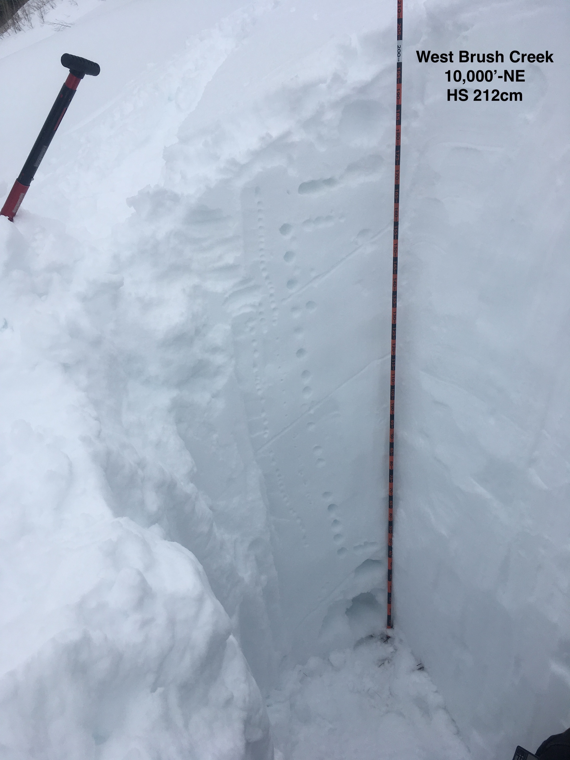
Snowpack: Went out lower Brush Creek and West Brush Creek. Poked a couple of holes. Lower Brush Creek near valley bottoms at 9,200′ had HS around 160cm. West Brush Creek at 10,000′ HS around 210cm. Main Brush Creek area was a SE slope – here the layer of concern were well developed basal facets. February and March snowfalls have created a thick slab just over a meter thick. Crusts in the mid-pack did not show much sign of faceting above or below.  No concerning test results in upper snowpack – there looked to be a little faceting above and below dense rain-wetted snow from 3/6 down about 30cm – ECTN.
West Brush snow volumes increased quickly as we ascended the valley to HS of 210cm. NE facing slope at 10,000′ had one layer of buried near surface facets down about a meter but they are rounding- ECTX. Even hammering on column and smashing block produced no result on mid-pack weak layer. Basal facets in bottom 50cm of snowpack here were F to 4f hard and looked like the layer of concern for full depth slopes without previous avalanches. Top 15cm of this shady slope was moist to wet right at surface.
In these shallow parts of forecast area, basal weak layers were between 100 and 150cm below the surface.

Photos:

Carnage

CB Avalanche Center2018-19 Observations

Location: Paradise Divide Area
Date of Observation: 03/12/2019
Name: Than

Subject: Carnage
Aspect: North, North East, South West
Elevation: BYL

Avalanches:

Tons of them from the past two days. Good ones off of the south and southwest facing slopes with two larger ones that crossed the Slate River Road, especially by the cattle guard/cow camp area.
Several off of northeast and north facing slopes, some out in the open and some deep in the timber. Crowns estimated to be anywhere from 4 to 6 feet.

Weather: Light snow interrupted by short bursts of heavy snow

Snowpack: 4-5 inches of new lighter snow from Monday night, ski pen 8-10 inches skiing, 14 inches skinning.
Photos:

Red Lady Glades

CB Avalanche Center2018-19 Observations

Location: Kebler Pass Area
Date of Observation: 03/12/2019
Name: Will Nunez

Subject: Red Lady Glades
Aspect: South East, South
Elevation: 9,500-12,000

Avalanches:

No instabilities other than the old crowns and debris piles for this past week historical cycle.

Weather: Overcast, steady S1 from 8:00-11:00pm, calm winds SW, strong solar around noon.

Snowpack: New snow ranged from 3-5″, the pack supported a great ski quality on low angle slopes with a ski pen 10cm and a boot pen at 20cm. HS ranged for 230-290cm.
Photos:

Washington Gulch

CB Avalanche Center2018-19 Observations

Location: Crested Butte Area
Date of Observation: 03/11/2019
Name: Steve Banks

Subject: Washington Gulch
Aspect: North East
Elevation: 10,700

Avalanches:

No new

Weather: Overcast with a low ceiling in the morning. Warm temps and calm winds. Snow began around 11am and really kicked in around 12:30, tapering by 2:30. 3 cms of accumulation by 3 pm. Minimal winds all day, but coming from the E/SE if anything.

Snowpack: Ski pen 10 cms with boot pen around 40 cms. Very supportive snowpack. Probing throughout tour found HS 220 to 280. Very well consolidated upper 150-180 cms. Weak layers felt near the bottom of the pack, but they are down there deep.
Photos:

Views down the Ruby’s and tests in Paradise Divide

CB Avalanche Center2018-19 Observations

Location: Paradise Divide Area
Date of Observation: 03/10/2019
Name: Eric Murrow

Subject: Views down the Ruby’s and test in Paradise Divide
Aspect: North, North East, East, South East, South, South West, West, North West
Elevation: 9,500′ – 11,000′

Avalanches:

Viewed lots of old crown from the 3/6-3/8 date range-most activity looked to have happened during peak precip. Most crowns were filled back in pretty well. Activity was largely in near and above treeline terrain with relatively few in protected terrain. A couple of D3’s but nothing historically impressive noted. Got a tangent view of Baxter Basin and it looks to be the largest slide in the area. Avalanches failed around the compass in the area near and above treeline. Few Wind Slabs noted that failed in the past day or two, but not that many.

Weather: Partly cloudy skies with strong solar, light winds with some moderate gusting, no transport observed during PM while out.

Snowpack: Dug a couple of holes on sunny and shady slopes below in treeline elevation band. No notable stability test, just ECTN very near surface. We only tested new old/interface, nothing deeper. Settled storm depths in this snow favored area were around 90-110cm snow with about half being 1F hard. Of note – the crust at the 2/28 interface on sunny slopes was incredibly smooth and slick – prying on the block after standardized test would get the meter slab to pop right out. The 2/28 crust did not appear to be collapsible as it was sitting on dense snow with minimal faceting directly beneath or above. Basal snow on sunny slopes still looks ugly with 3mm rounding DH that is F+ to 4F hard. HS on shaded, protected terrain was 300-315cm deep.

During the day strong solar was able to produce roller balls on southerly slopes up through the near treeline elevation band originating from warm rocky areas. Wet activity entrained no mass. By 5pm snow surfaces began to refreeze. Crusts were 2-3cm thick with a few cm’s of moist snow still below.

Photos:
Coney’s CT

CB Avalanche Center2018-19 Observations

Location: Crested Butte Area
Date of Observation: 03/10/2019
Name: JT

Subject: Coney’s CT
Aspect: North East
Elevation: 9,900

Avalanches:

Weather:

Snowpack: Snow depth 300 cm.

CT 20 , @100cm, Q3.

No instabilities while skiing.
Photos:

Carbon Peak

CB Avalanche Center2018-19 Observations

Location: Kebler Pass Area
Date of Observation: 03/10/2019
Name: Erik Niemeyer

Subject: Carbon Peak
Aspect: North East
Elevation: 9,200

Avalanches:

The NE gully (north of The Spoon) ran top to bottom and wall to wall. Scoured many large trees from the edges of the gully, crossed FR 737 and went up the opposite hillside about 500m. Debris is also damming Carbon Creek with a small pool upstream of the field. Estimate it was a D4R5 that occurred on 3/8 or 3/9. A cross country skier we ran into reported they skied through this area on 3/7 and there was no slide. Wished we had a camera or phone with us.

Weather: Sunny. Calm winds. -5C.

Snowpack: NA
Photos:

CB Avalanche Center2018-19 Observations

Location: Crested Butte Area
Date of Observation: 03/10/2019
Name: ADB

Subject:
Aspect: North East, East
Elevation: BTL

Avalanches:

Above Meridian Lake on 3/9/19: storm cycle SS-N-R1-D1 (see pic)
Below Scarp Ridge in Redwell: recent SS-N-R1-D1
may have observed other old buried slides in Redwell, 1 in west face of Gothic, and Wolverine bowl, but there’s a lot uncertainty due to distance.

Weather: Coneys: 3/10/19-Early morning-orographic snow with no accumulation. As the day progressed clouds decreased to few clouds and overall calm. Warming trend.

Snowpack: Sierra Nevada like snow at Snodgrass on 3/9 and Coneys on 3/10. Last storm cycle may have left about 10 inches of settled snow at Coneys.
Snodgrass on 3/9: no collapsing or cracking on new skin tracks on slopes away from the main paths.
Coneys 3/10: no instabilities except some 2 inch rollers on lower slopes . Lower half of Coneys warmed up by 12 and became heavy. No instabilities on the ski down.
Tried to knock off 2 foot cornice on Convex Corner but was unsuccessful.
Photos: