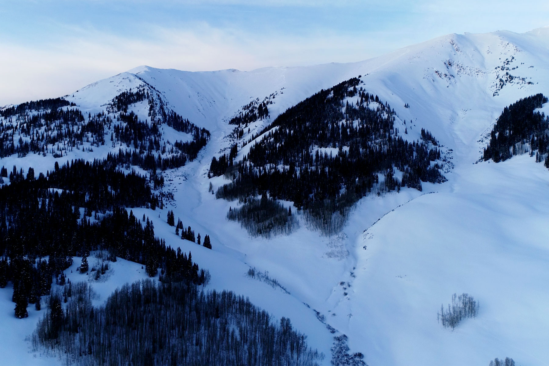
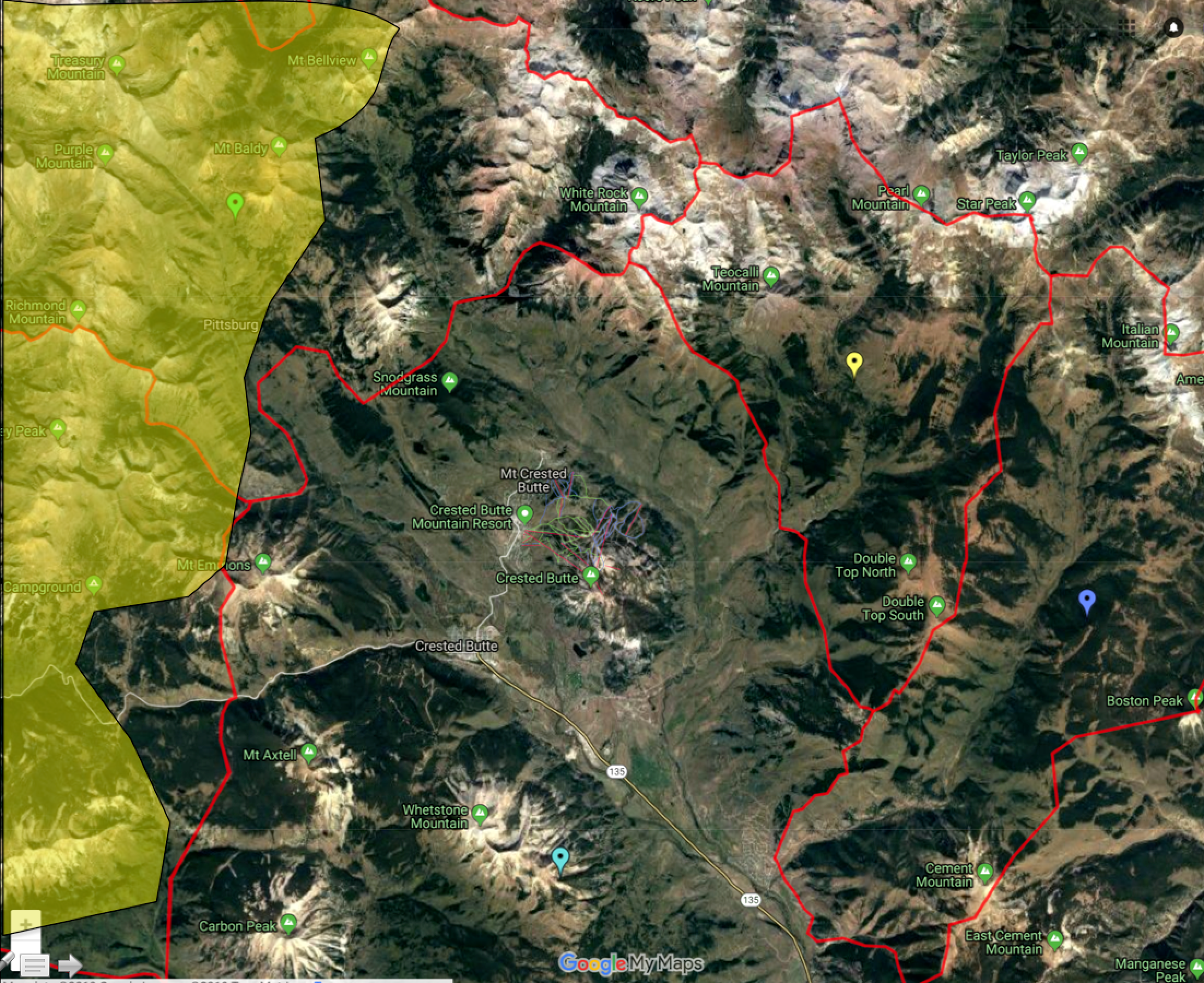
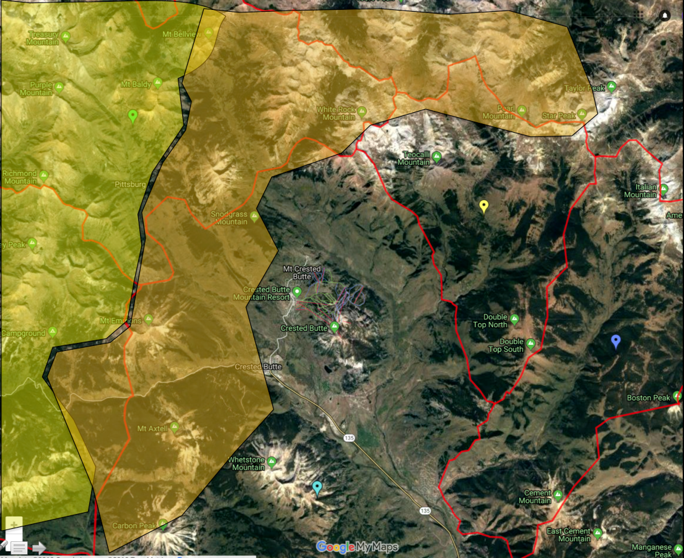
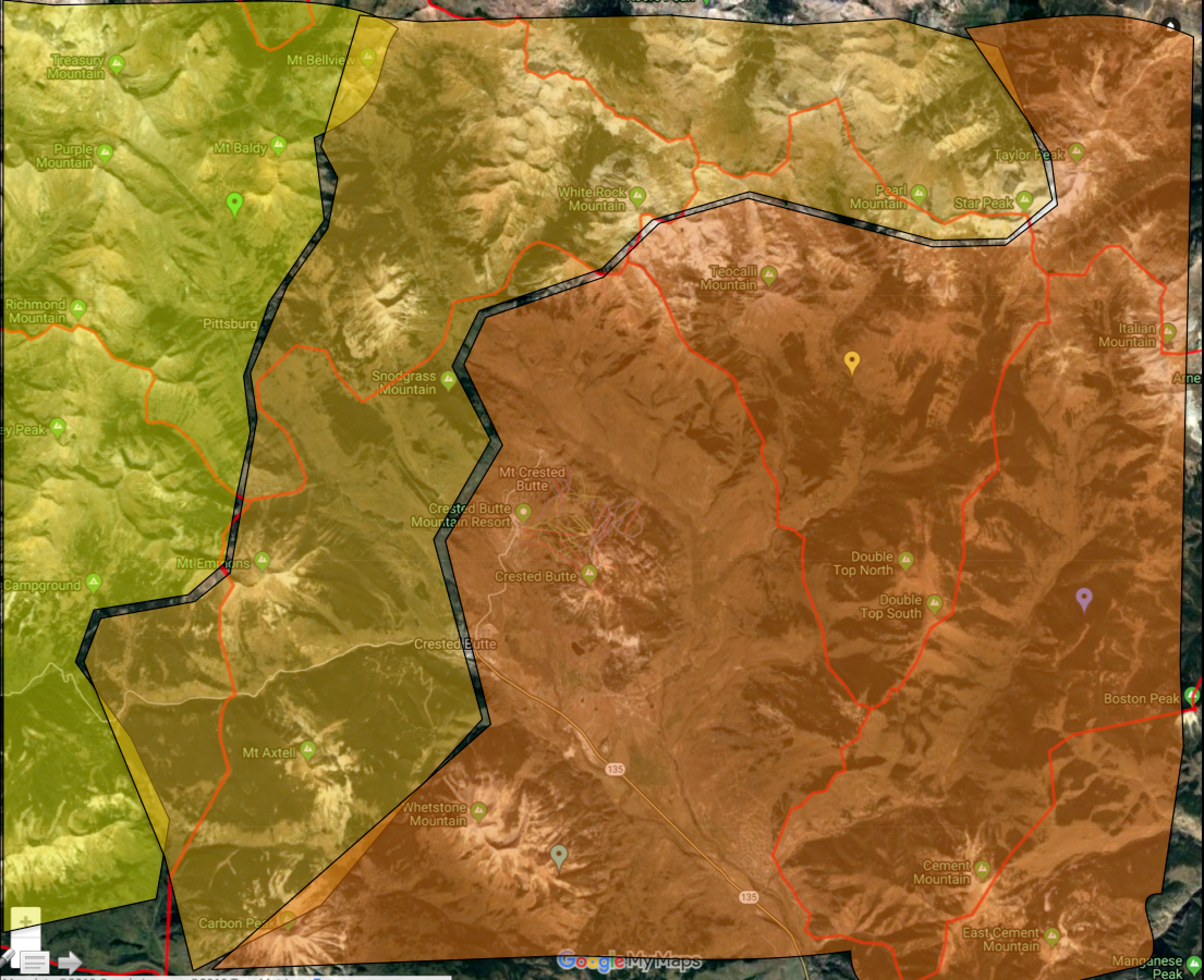
Location: Kebler Pass Area
Date of Observation: 01/23/2019
Name: Evan Ross
Subject: Thick Firm Wind Deposits Or Good Pow
Aspect: North, East, South
Elevation: 10,000-11,500
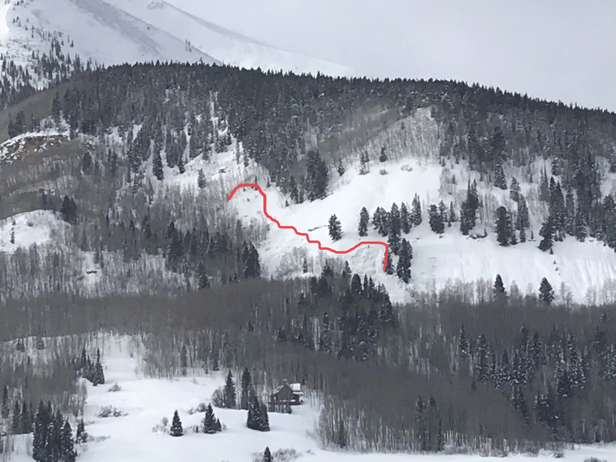
Avalanches:
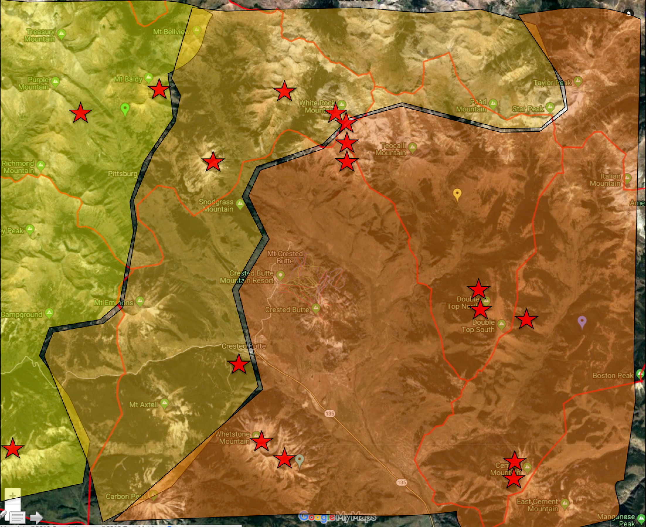
1 small looking slab on a west aspect of Mt Axtell at 11,400ft. Long ways away so hard to tell how fresh. Could have been a D2 but looked smaller, and again just to far away to tell.
Weather: Mostly Cloudy. Few snow flurries in the afternoon, but not accumulating. Drifting snow during moderate wind gusts.
Snowpack: Quiet snowpack and no obvious sings to instability. Previous north to northwest winds had clearly blown up northerly slopes and loaded easterly to southerly facing slopes. Managing terrain for the thickest loading was good travel advice. Pushed on a few loaded slopes with no result, but the wind-loaded snow was thick and very dense. A ski cut in that thick snow wan’t something you would want to hang your hat on. South facing slopes also had a thin crust at the surface from yesterday.
HS was in the 155 to 200+ cm range. Dug one hole on a north facing NTL slope with a nice even snowpack. HS 195. Dug into the upper 100cm and of course no layers of concern. Outside of managing wind-loading, the best practice felt like managing the terrain for potential trigger points where the snowpack would thin, or very steep slopes that may hold a shallower and weaker snowpack.
Photos: