Location: Crested Butte Area
Date of Observation: 12/26/2017
Name: Alex Tiberio
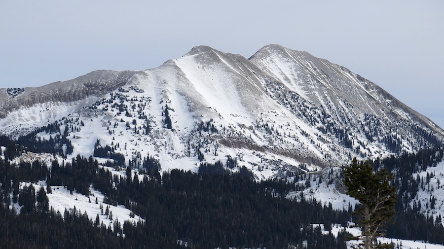
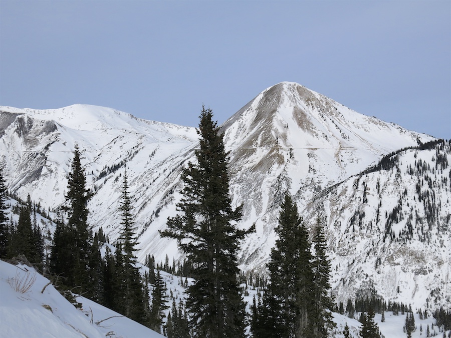
Subject: Natural activity around Gothic
Aspect: North East, East
Elevation:
Avalanches:
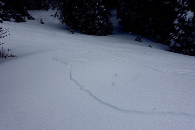
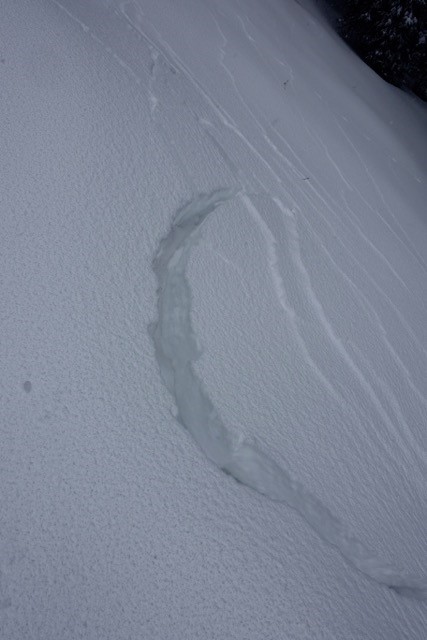
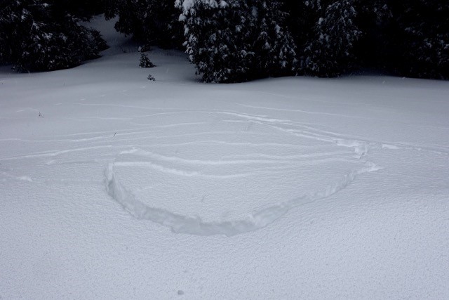
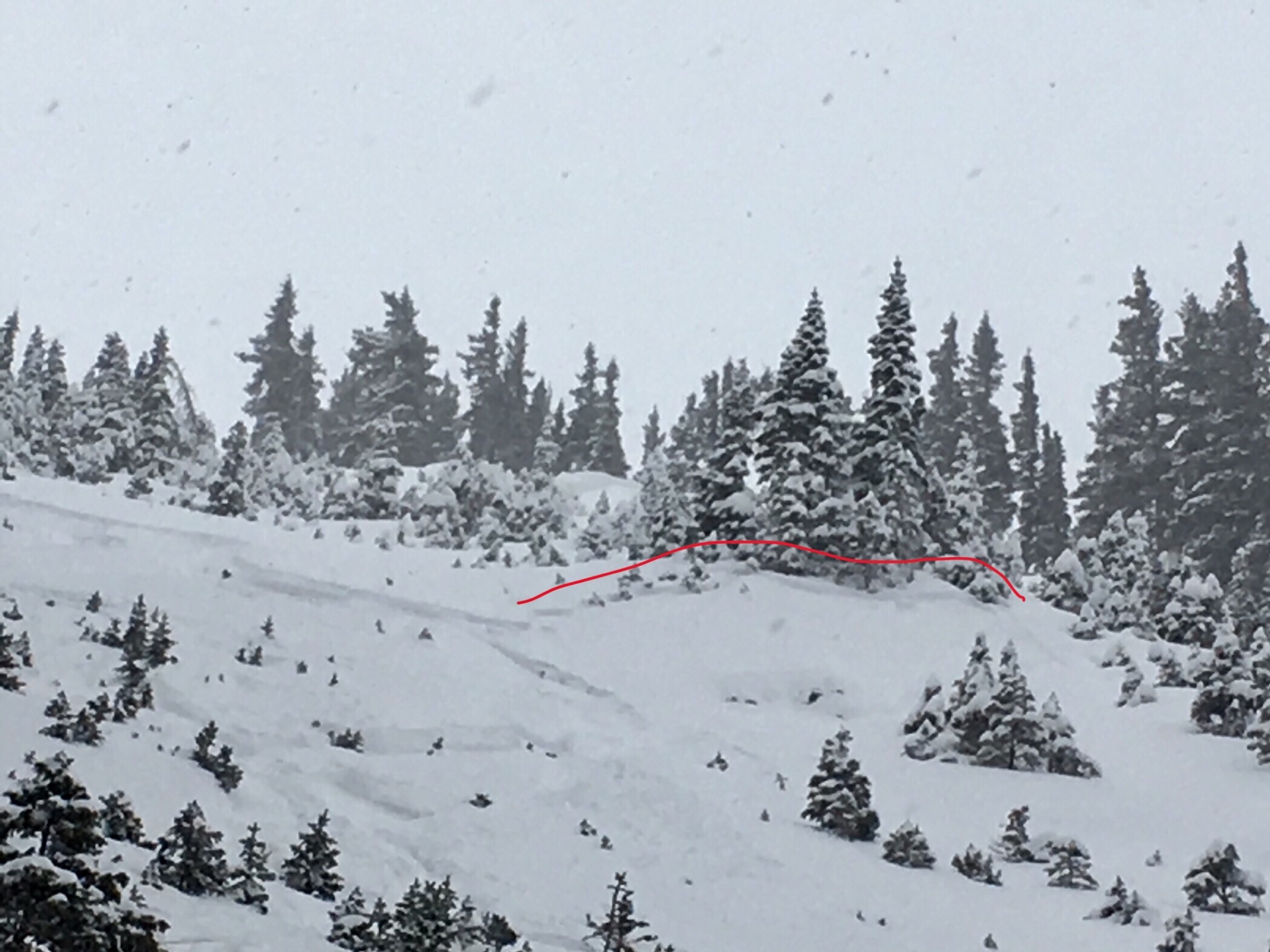
With clear skies we were able to check out some slopes with binoculars. Crowns are visible on the E face of Gothic, at the top of an east facing gully below the largest cliff on gothic, as well as the top of 3rd bowl on Snodgrass. The latter of which looks like it released pretty deep in the snowpack, you can see dirt below the crown.
Weather: Mostly Clear skies
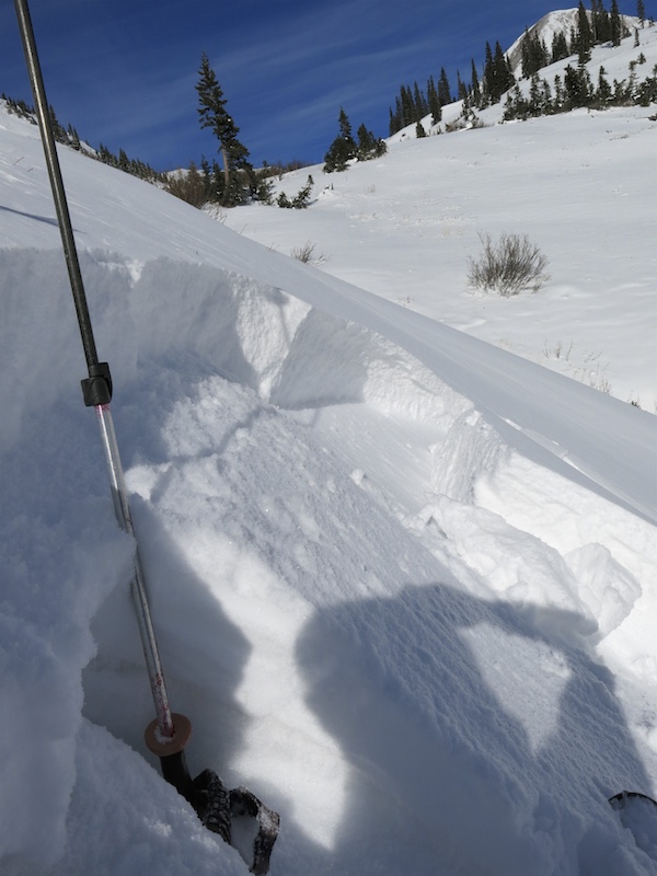
Snowpack:
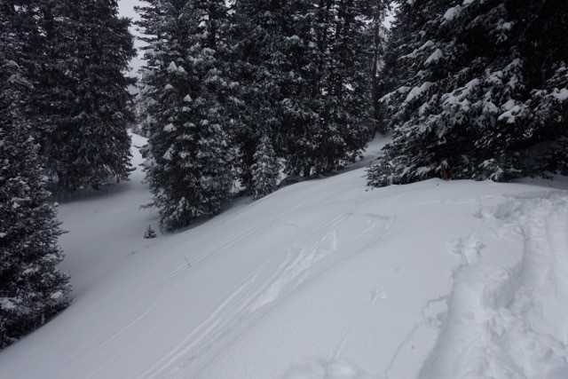
Photos: