Date of Observation: 11/24/2016
Name: billy barr
Aspect:
Elevation:
HST: 11” w/ 1.3” swe (12%) HS:13”. 3” yesterday w/.35”swe & 8” overnight with .95” swe. Super dense and wet, good base building snow.
No visibility for avalanche obs.
Avalanches: Touring out Yule Pass I stepped below the trail on a test slope and saw a shooting crack run out from my ski tip. The slide propagated around 25-30 meters, from a due north slope to a more NE facing slope. The slope angle in the starting zone was not that steep, maybe even sub 35 degrees. I apologize for not getting a measurement of this. Crown was around a meter deep, and was not as shear on the more East facing part. Likely encountered a crust lower down the slowed the propagation that was not present on the North facing part. HS-AS-R2-D2-O.
Weather: Breezy and relatively warm, warming throughout day. Winds also picked up out of NW later in the day and we witnessed snow transport down valley.
Snowpack: Variable. Some areas blown clean by the wind in the last storm with some areas containing around a meter of snow. Hard wind slabs on top of crust/facet combos on more Easterly aspects and more faceted snow in the base of the pack on more Northerly aspects. Heard a lot of whumpfs throughout the day.
Avalanches: N/A
Weather: Clear & calm.
Snowpack: A few inches from the 11/17 storm fell on the ground at lower elevations and areas with more sun exposure. Higher, shaded slopes seemed to have snow from previous storms underneath. Surface hoar forming on the new storm snow at night. Shooting cracks noted under the skier breaking trail on a NE aspect around 11,500 ft.
Avalanches: Observed six recent natural slab avalanches on N and NE aspects above treeline, ranging from D1 to D2 in size. Most of these appeared to fail as hard slabs (topped by recent soft snow) in old, faceted layers near the ground. HS-N-R1-D1/D2-O/G. A few ran as soft slabs, perhaps failing at the storm interface. SS-N-R1-D1-U. See photos and snowpack obs for more details. Also evidence of a handful of D1 loose snow avalanches that ran mid storm on Thursday.
Weather: Mild temps, moderate west winds with minimal snow transport, clear skies.
Snowpack: In this basin, northerly aspects above treeline are loudly announcing a worrisome snowpack structure. We experienced widespread collapsing with shooting cracks radiating as far as 300 feet away. The structure is composed of the recent snow at the surface (4F to F, 5-16″ deep, depending on windloading) over a combination of older, hard slab, crusts, and facets. The older slabs and meltfreeze grains generally range from 1F to P in hardness and 2″ to 15″ thick, depending on aspect and windloading. On the ground, and occasionally sandwiched between crusts, is a fist hard, 1-1.5mm facet layer, 2-6″ thick. We got repeated ECTP results in several different locations, ranging from ECTPV to ECTPH. On steep, windloaded southerly aspects, we were unable to produce any signs of instability, and the recent is already melting back to a patchy distribution on S and W aspects.
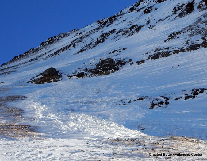
HS-N-R1-D1.5-O on a north aspect of Purple Peak.
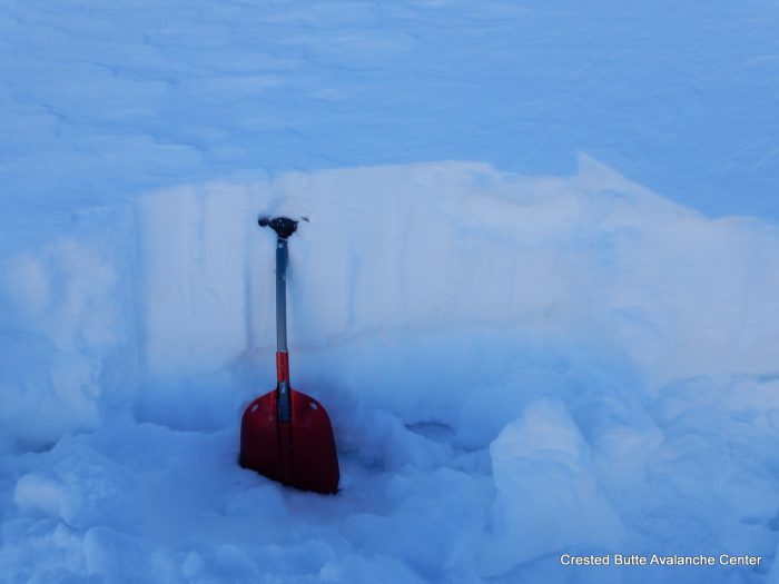
North aspect ATL. There’s approximately 25 cm of recent snow, 5-15 cm of old hardslab, and 20 cm of facets. We experienced shooting cracks and collapses here. ECTPV and ECTPM results.
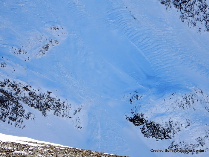
Debris pile on a north aspect ATL of Justice Ridge.
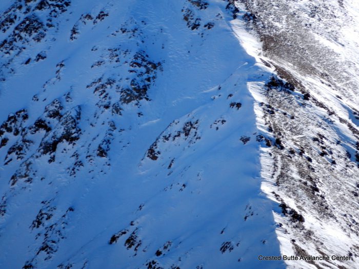
NE aspect of Augusta Peak. SS-N-R1-D1-U
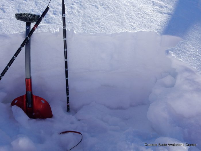
NW aspect ATL. The top half is recent snow, the bottom half is a mix of faceting crusts and facets. We experienced collapsing and shooting cracks here.
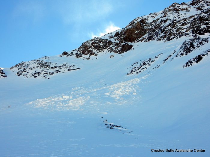
HS-N-R1-D1.5-O. North aspect of Justice Ridge.
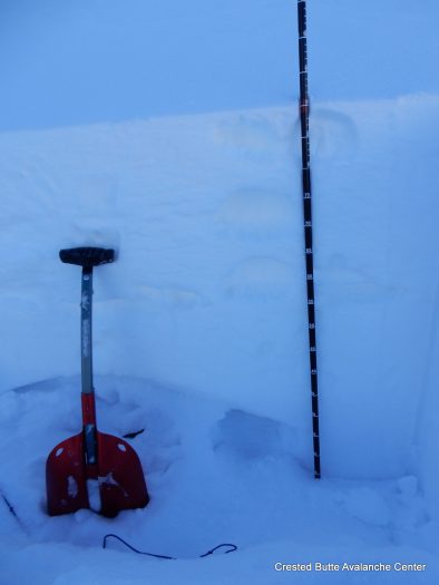
Windloaded rollover on a NE aspect ATL. The top 35 cm is recent snow (4F to F+). The next 30 cm below is old hard slab with some melt-freeze processes, pencil hard. The bottom is 1-1.5mm facets, fist hard. ECTPH results. We experienced rumbling collapses and shooting cracks as we approached the slope.
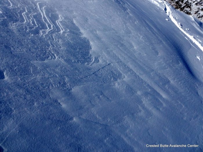
We experienced collapsing and shooting cracks on most wind loaded slopes above treeline facing NE or N
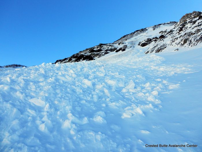
HS-N-R1-D2-O/G. North aspect near Purple Peak
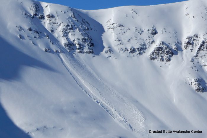
SS-N-R1-D1-U. North aspect of Purple Ridge.
Avalanches:
Weather:
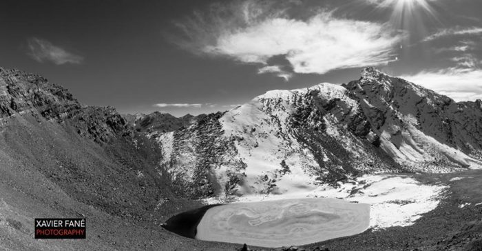
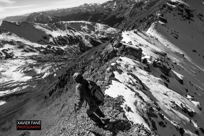
Snowpack: See photos of snow coverage near Rustler’s Gulch
Avalanches: A few older D1 loose snow avalanches on northerly aspects.
Weather: Clear, calm, warm.
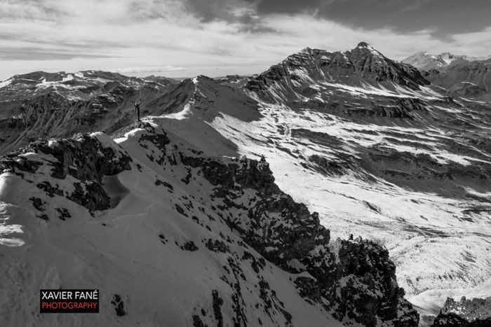
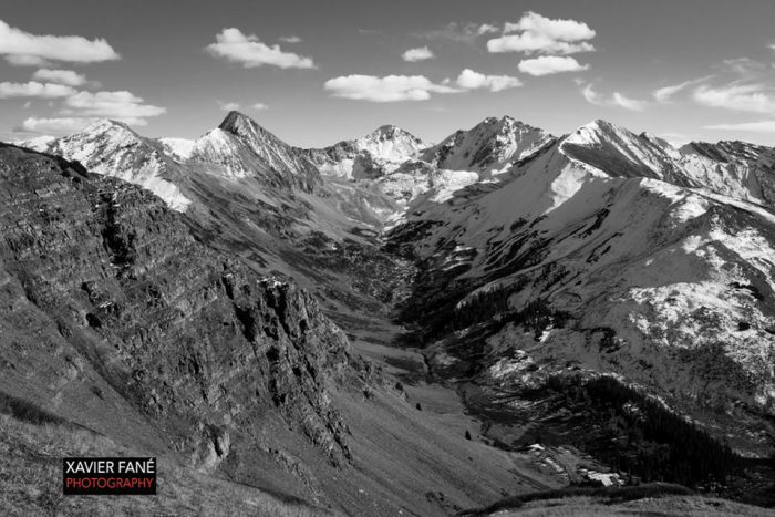
Snowpack: Tour of Crested Butte forecast area to check out snow coverage following early November dry spell. East through south through west aspects are generally all dry and snow free. Northerly aspects hold a thin snow cover, mostly above treeline and some near treeline slopes. The most continuous snow coverage, which could present persistent weak layers concerns in the future, is on NW to NE aspects above treeline along Paradise Divide and the Ruby Range. Closer to town and from our vantage in Cement Creek and Brush Creek Drainage, the snowpack is thinner and patchier on shaded aspects; weak layer formation is more isolated at this point in the season. See photos.
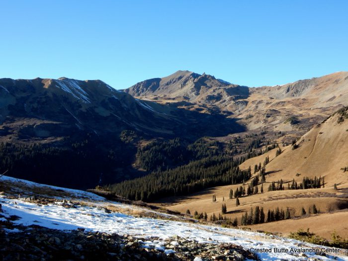
Southerly aspects of Pearl Mtn and E/NE aspects of Carbonate Hill
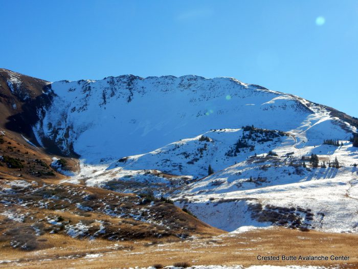
N/NW aspects of Mt. Baldy
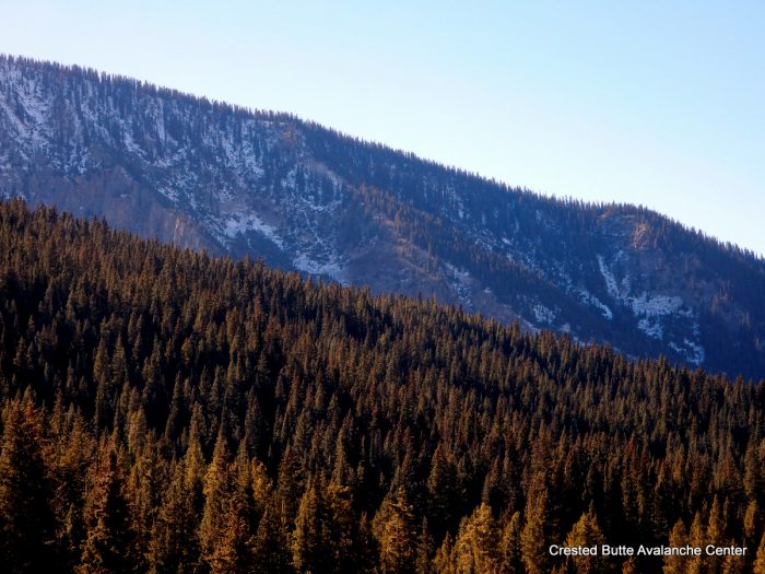
Northerly aspects on Mt. Axtell
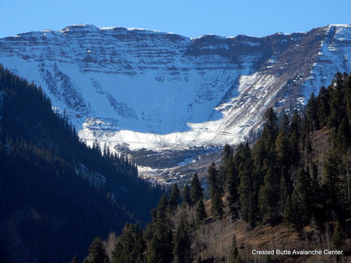
Northerly aspects in Redwell Basin
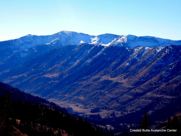
Northeasterly aspects of Schuylkill Ridge and northerly aspects of Scarp Ridge behind
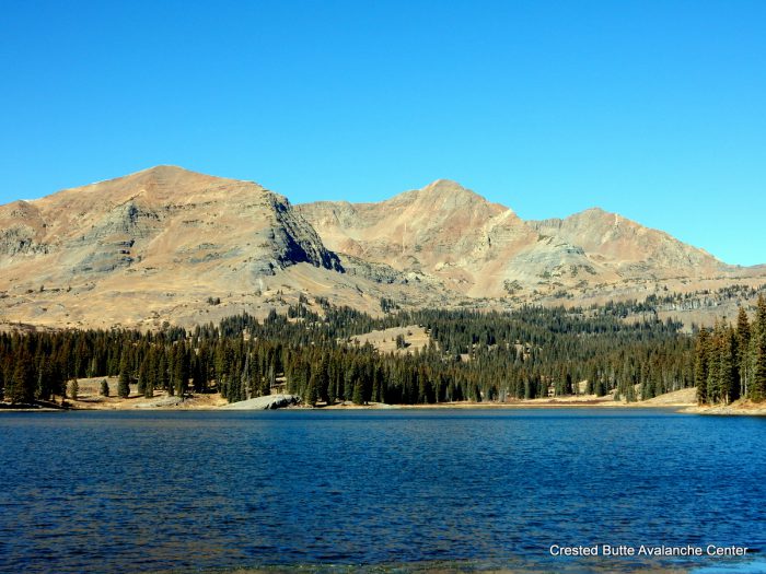
Southerly aspects of Ruby Range
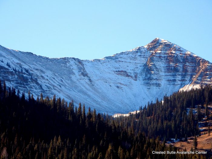
Northerly aspects of Wolverine Basin
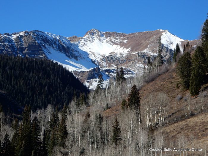
NE and E aspects of Richmond
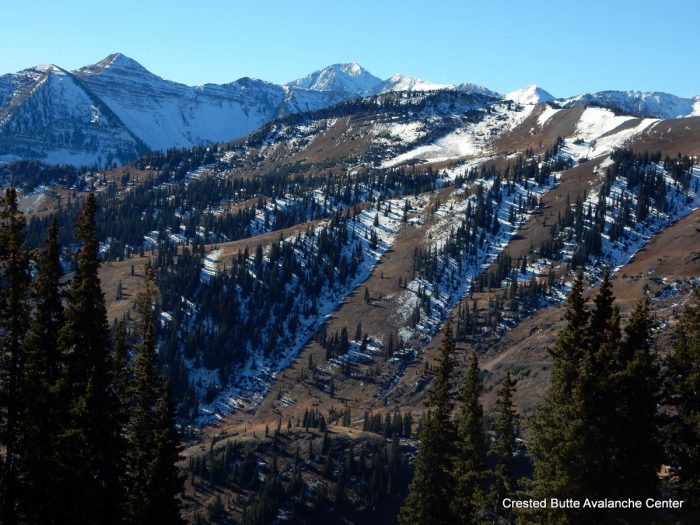
Northeasterly aspects of Purple Trees
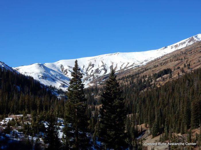
Northeasterly aspects of Treasury
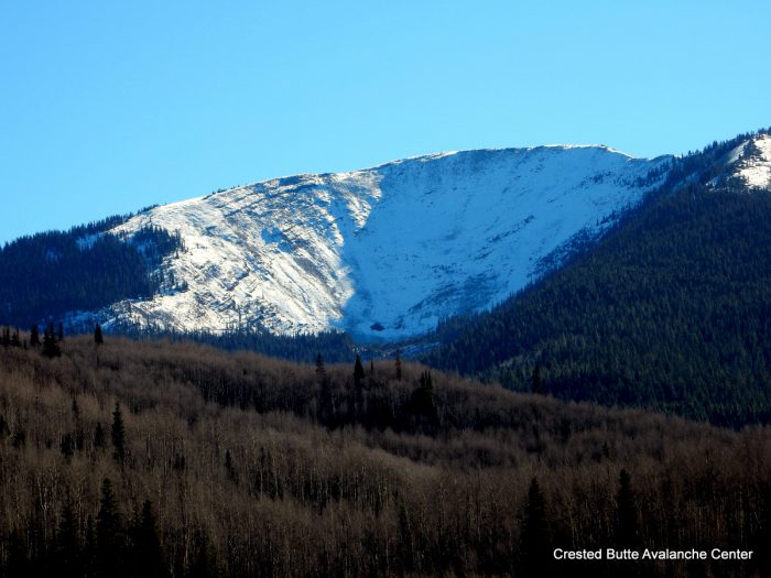
Northeasterly aspects of Cement Mtn
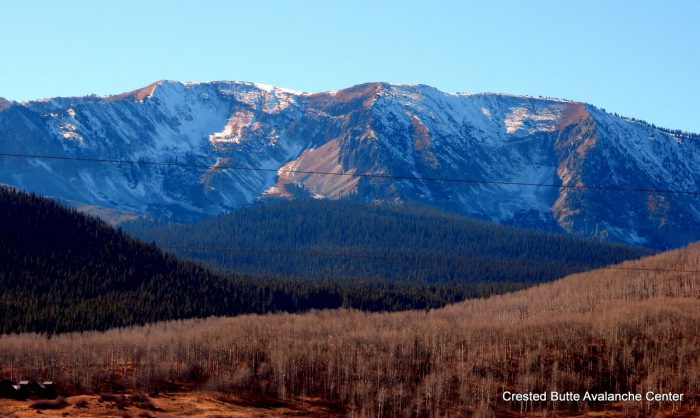
N/NE aspects of Mt. Axtell
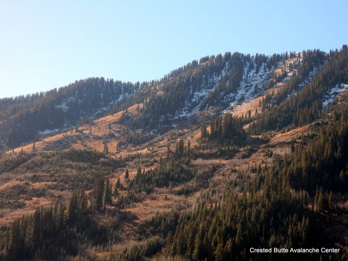
N/NE aspects of Schuylkill Ridge
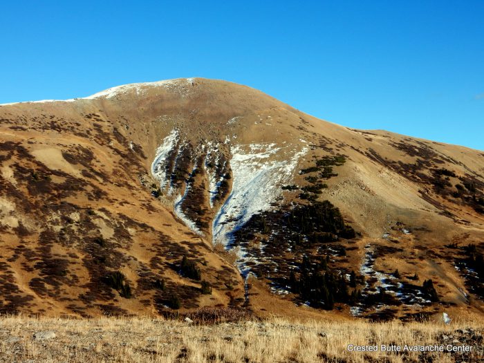
W/NW aspects of Hunter Hill
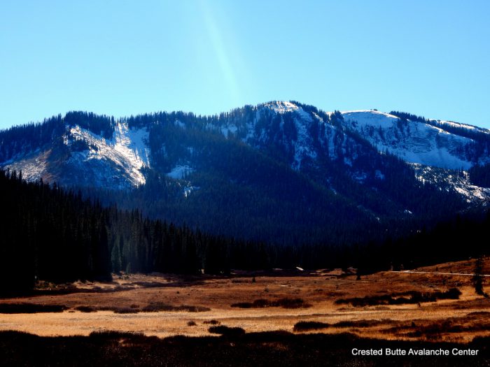
Northerly aspects of Anthracites
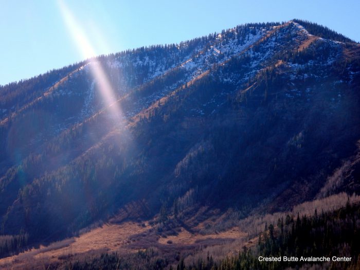
Northeasterly aspects of Climax Chutes
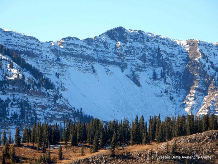
Northerly aspects of Baxter Basin
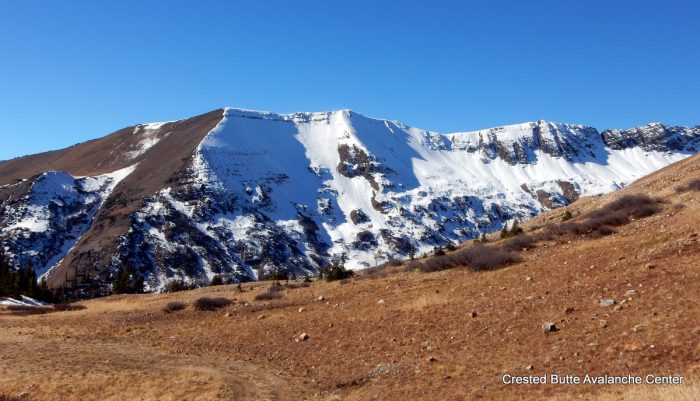
Northeasterly aspects of Purple Ridge
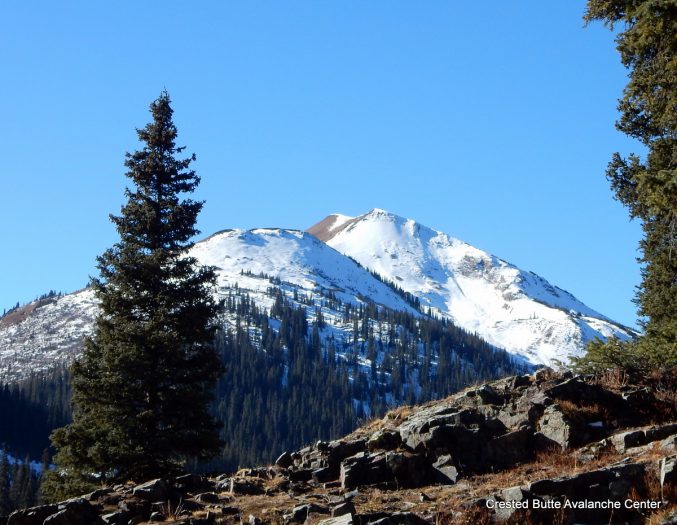
Northeasterly aspects of Cinnamon
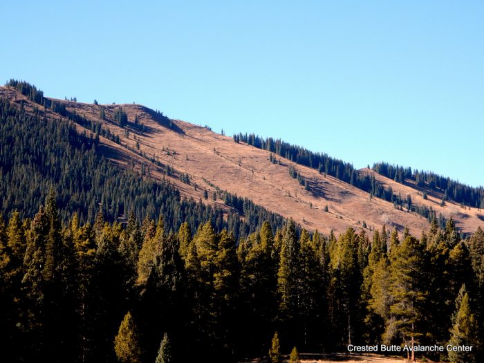
Easterly aspects of Coney’s
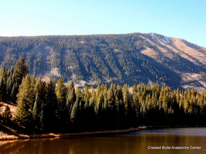
Northeasterly aspects of Happy Chutes
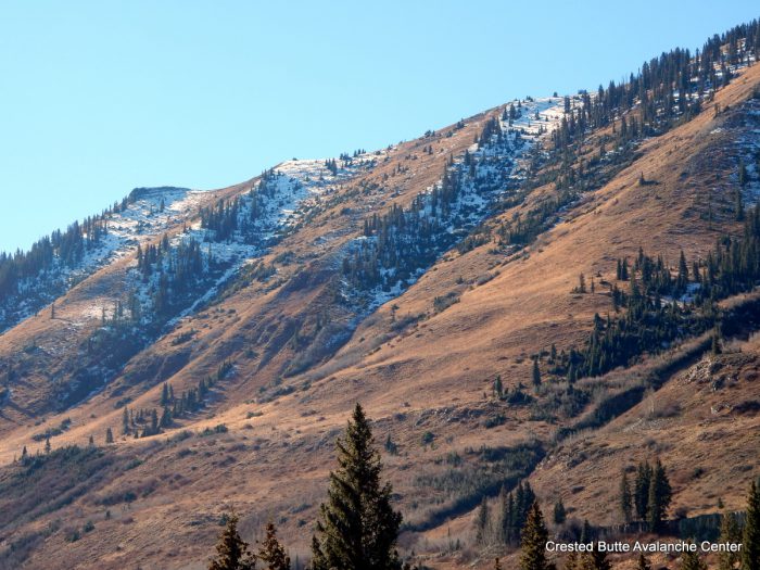
Northeasterly aspects of Schuylkill Ridge
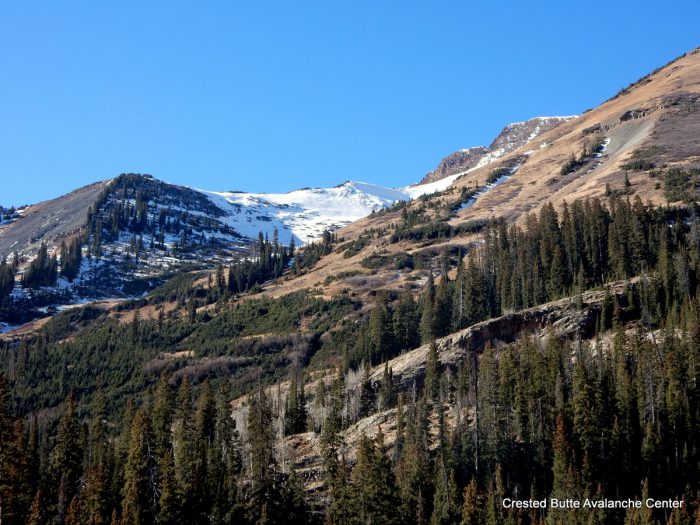
NE and E aspects of Mt. Baldy
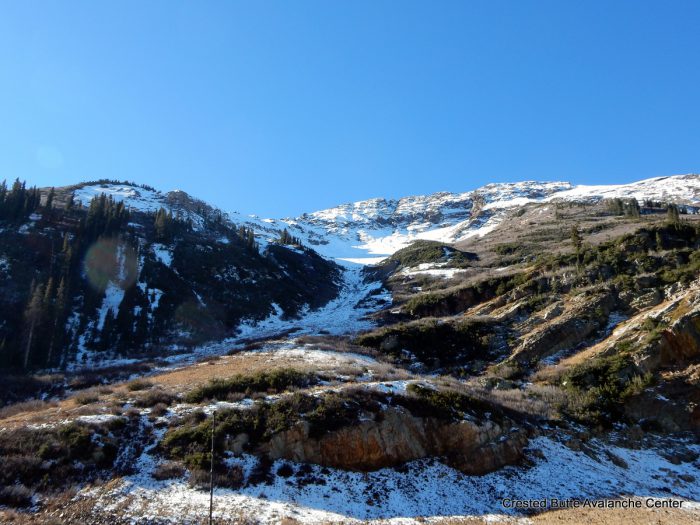
NE aspect of Baldy
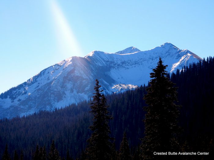
Northerly aspect of Gothic Mtn
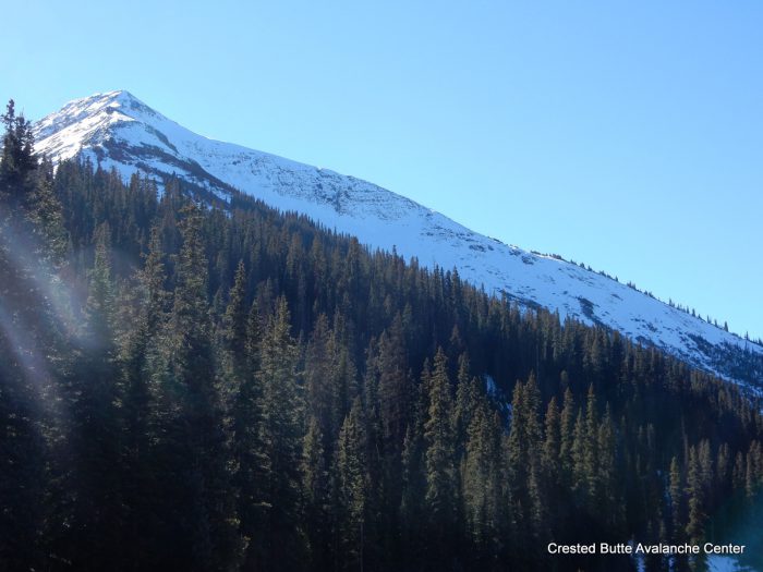
N aspect of Mt. Baldy
Avalanches:
Weather: Scattered clouds with short bursts of S-1. Moderate westerly winds.
Snowpack: East, South, and West aspects are essentially snow free. Northerly aspects near and above treeline holding thin, semi-continuous snow coverage. See photos.
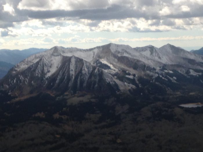
Northeasterly aspects of Beckwith Range
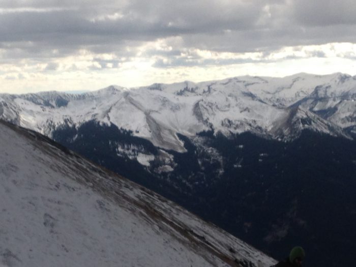
Northerly aspects of West Elk Range
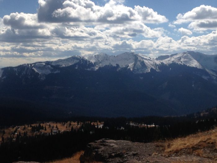
Northerly aspects of Anthracite Range
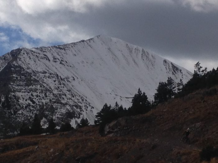
N face of Ruby Peak
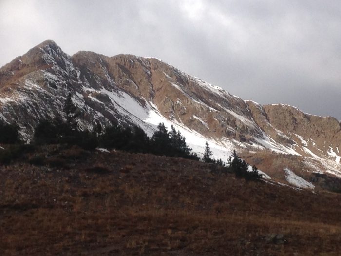
NE bowl of Mt. Owen
Avalanches:
Weather: You guessed it. Clear, warm, calm.
Snowpack: 0-3″ of patchy and discontinuous snow coverage, isolated to a few steep northerly slopes near and above treeline. The top half is fist hard 1-1.5mm facets, the bottom half is a 4F faceting crust. More continuous snow coverage visible in the Ruby Range/Paradise Divide areas on ATL shaded aspects.