Date of Observation: 03/03/2022
Name: Evan Ross
Zone: Northwest Mountains
Route Description: Upper Slate River, many aspects between 9,600-11,300ft.
Observed avalanche activity: Yes
Avalanches: 1 loose wet avalanche on a west aspect above treeling. Otherwise nothing new and notable.
Weather: High clouds, hot temps, and calm wind.
Snowpack: The PSa problem felt stuborn with no obvious signs to instablity. Also no collapsing or obviouse signs to instablity traveling on the sunny half of the compass and in areas with a wet snowpack. I traveled on steep slopes, but not big slopes.
You have to get close to a north aspect to find a cold snow surface. Otherwise, the snow surfaces were wet. East and west aspects will have a notable crust, that crust will thicken of course as you head south around the compass. I didn’t find an area where water had drained to the February weak layer on east and west aspects, but there will still be a couple-inch thick crust on the current snow surface. Lots of water moving through the snowpack on SE to S to SW aspects and those will be locked up once they freeze again. This whole area looked like it would take a notable load before we see another widespread natural avalanche cycle. Mostly due to the thick crusts and the thick slabs, with the mid-February weak layer gaining some strength under those slabs over the last week.
Photos:
-
-
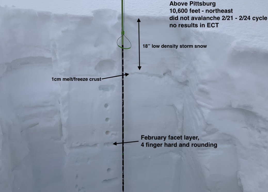
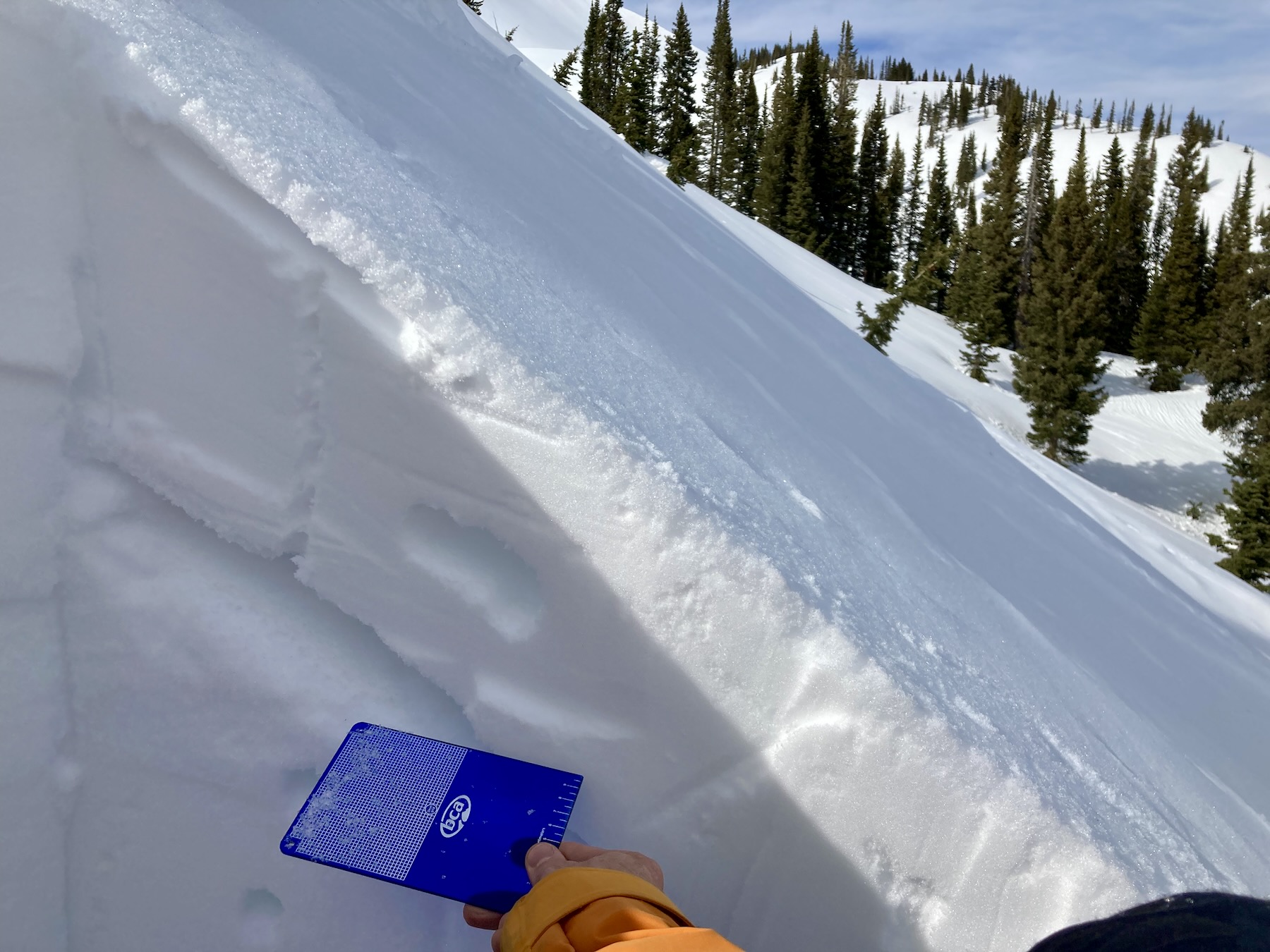
ENE 9,800ft. This slope collapsed around 2/24, you can see the old crack as the hole in the corner of the pit. The mid-February weak layer was capped by a thick crust and still problematic with a notable loading event.
-

-
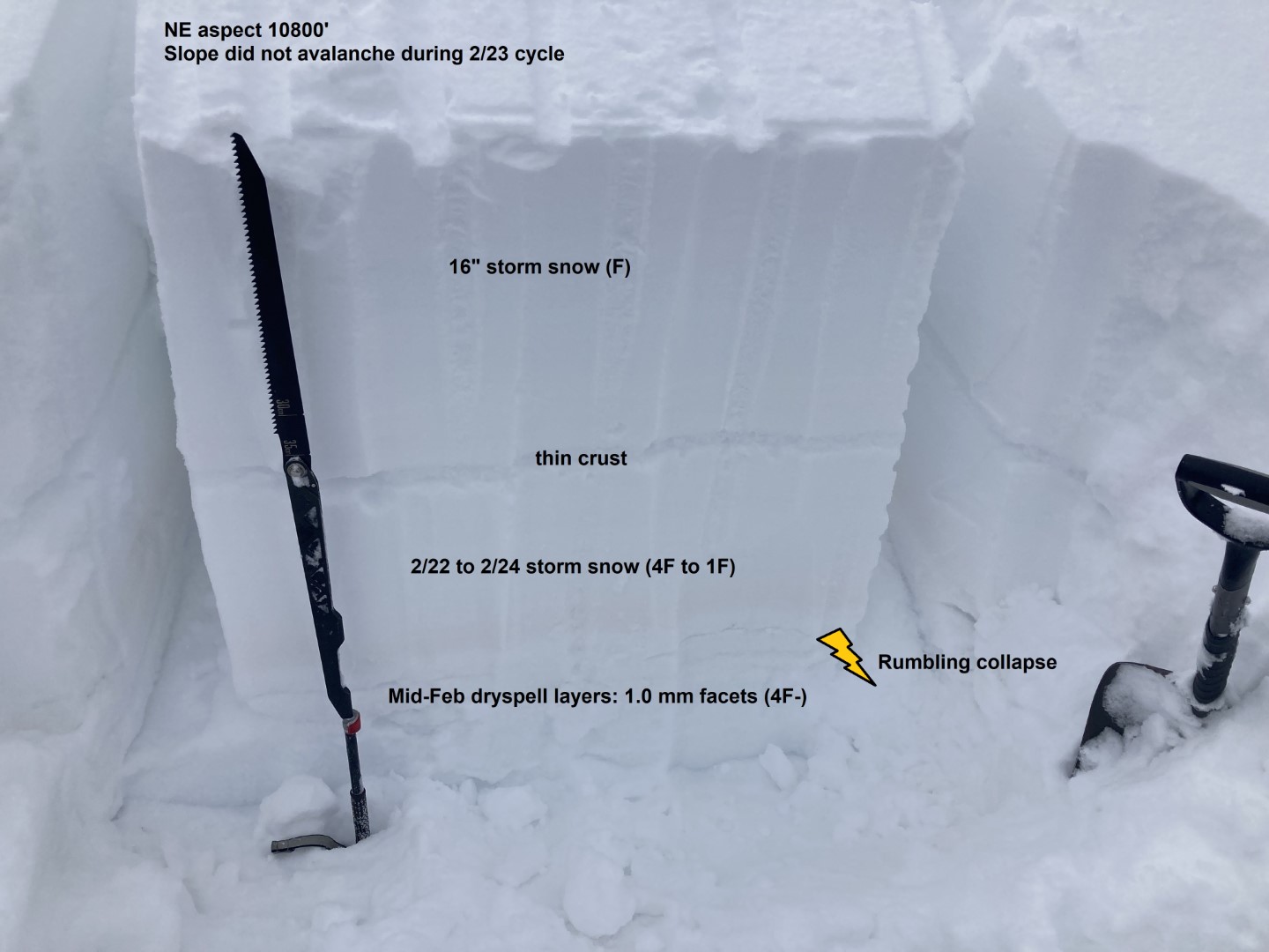
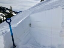
East 10,800ft. This old bed surface had a moist snow surface, with a foot slab that has refiled over the mid-February weak layer. Those facets still looked problematic during the next loading event.
-
-
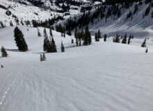
Ice rink prep, E-SE 10,600ft.
-
-
-
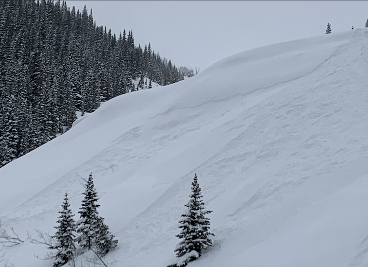
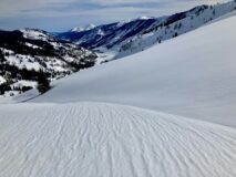
The river runs through it, SE-S 10,800ft.
-
-
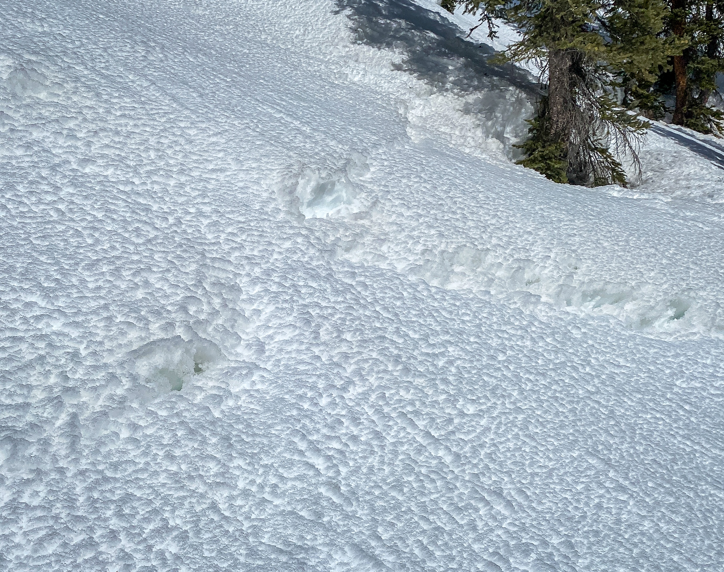
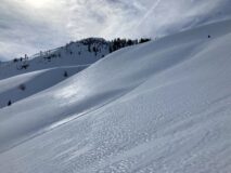
Wet snow surface and runnels. East 11,700ft.
-
-
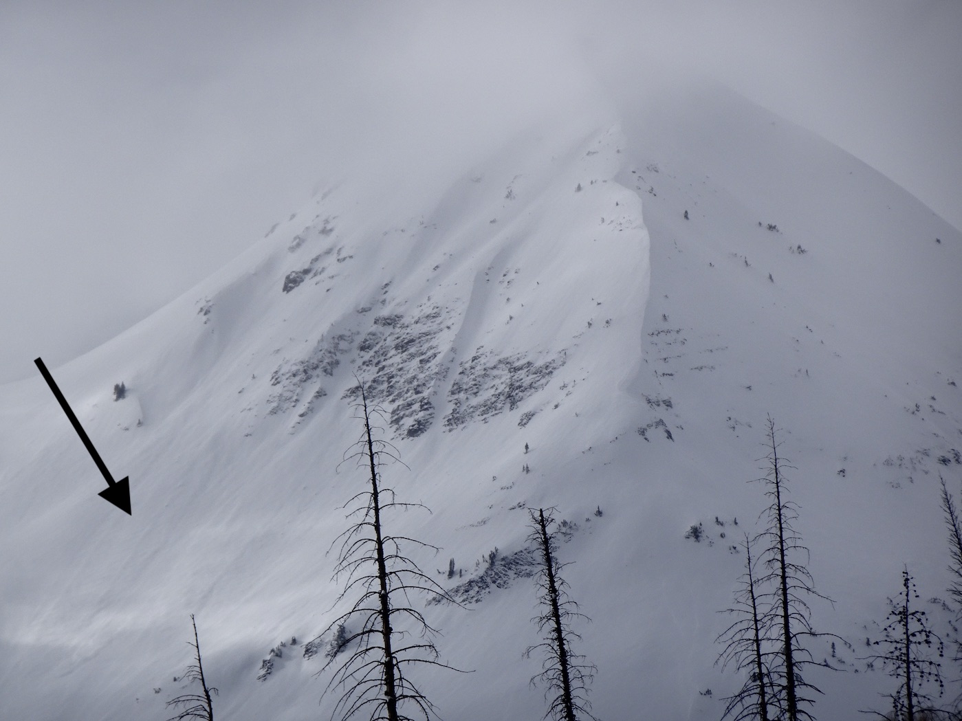
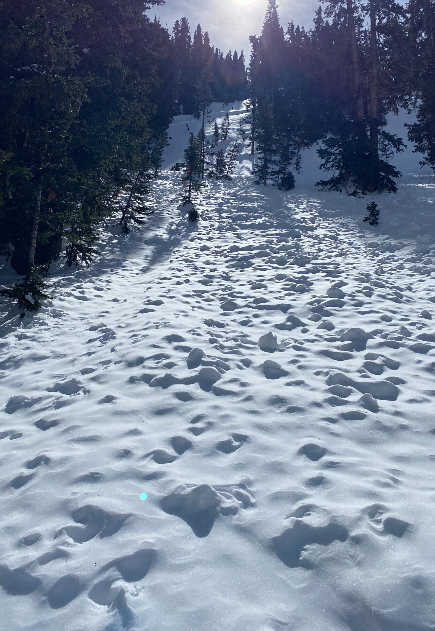
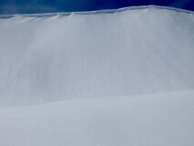
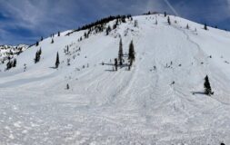
Small loose wet avalanche on a westerly aspect 12,400ft.
-
-
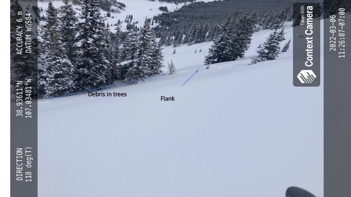
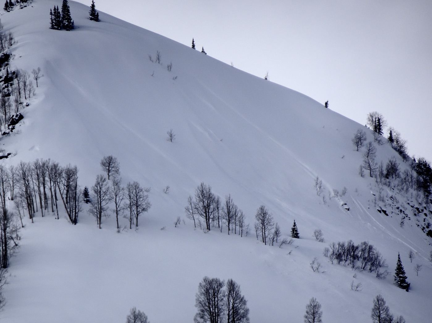
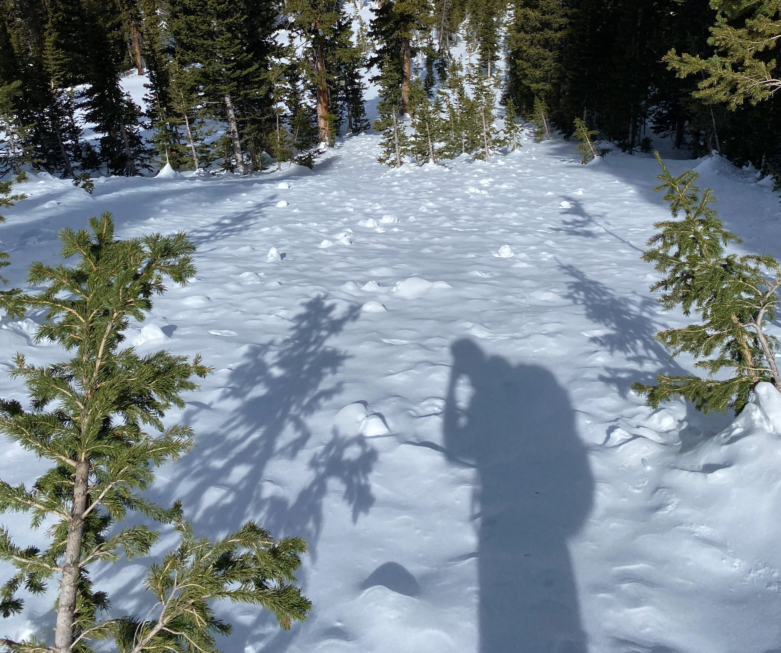
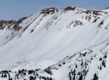
View from the bottom of a previously reported avalanche from 2/26 that was remotely triggered.
Estimated avalanche date: 03/02/2022
Number of Avalanches: 1
Location
Location: Upper Slate (Purple, Yule Pass, Paradise Divide)
Location Specific:
Start Zone Elevation: ATL: Above Tree Line
Aspect: W
Characteristics
Trigger: Natural
Trigger modifier:
Type: Wet Loose
Failure Plane:
Size
Relative Size: R1 very small
Destructive Size: D1.5
Avg. crown height (inches):
Avg. width (feet):
Avg. vertical run (feet):
Involvements
# of people caught:
# of partial burials:
# of full burials:
Additional comments:
5450