Date of Observation: 04/08/2022
Name: Travis Colbert
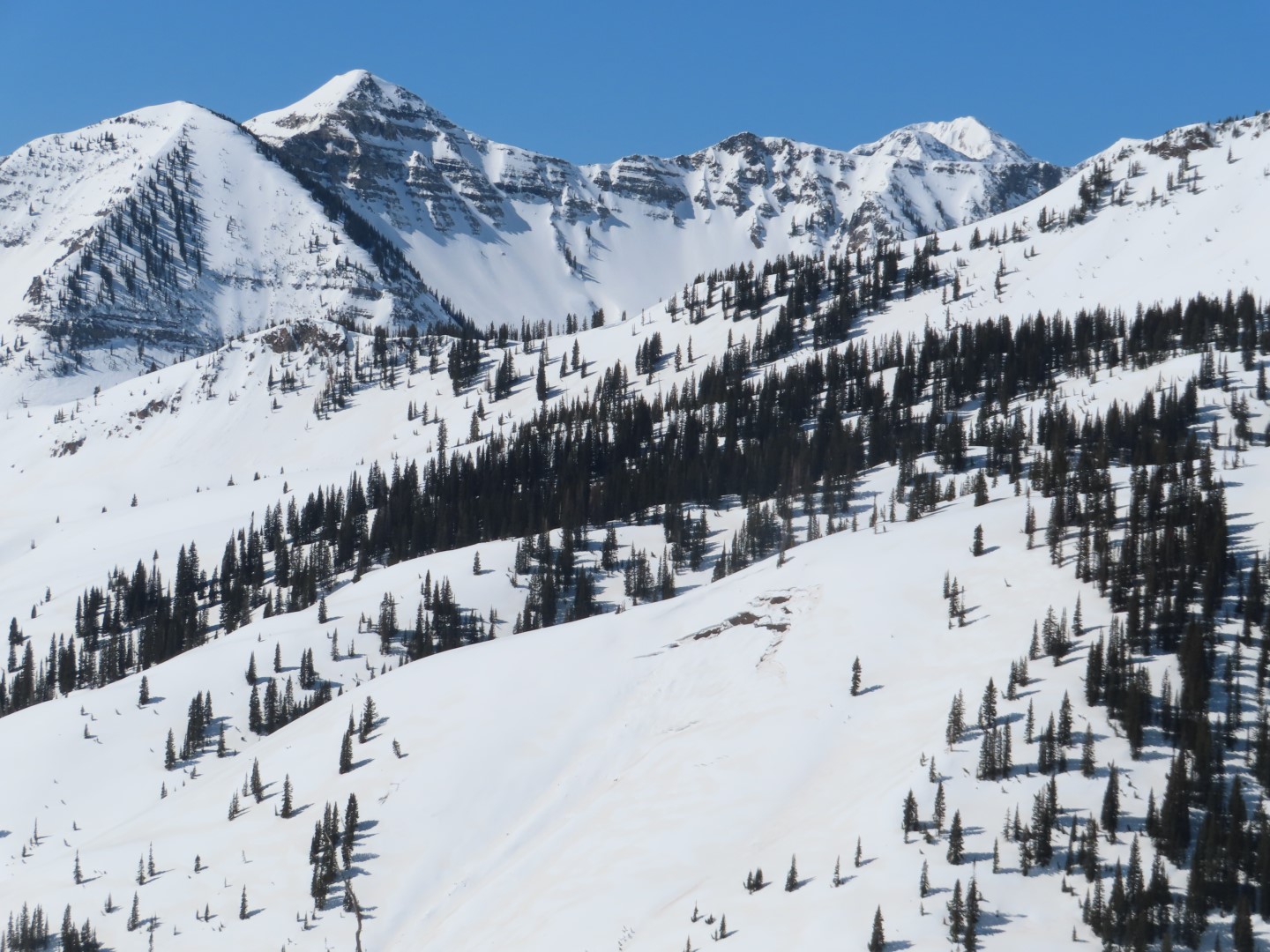
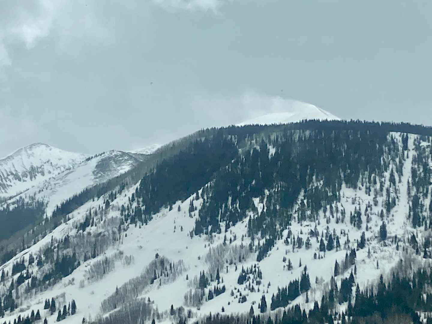
Zone: Southeast Mountains
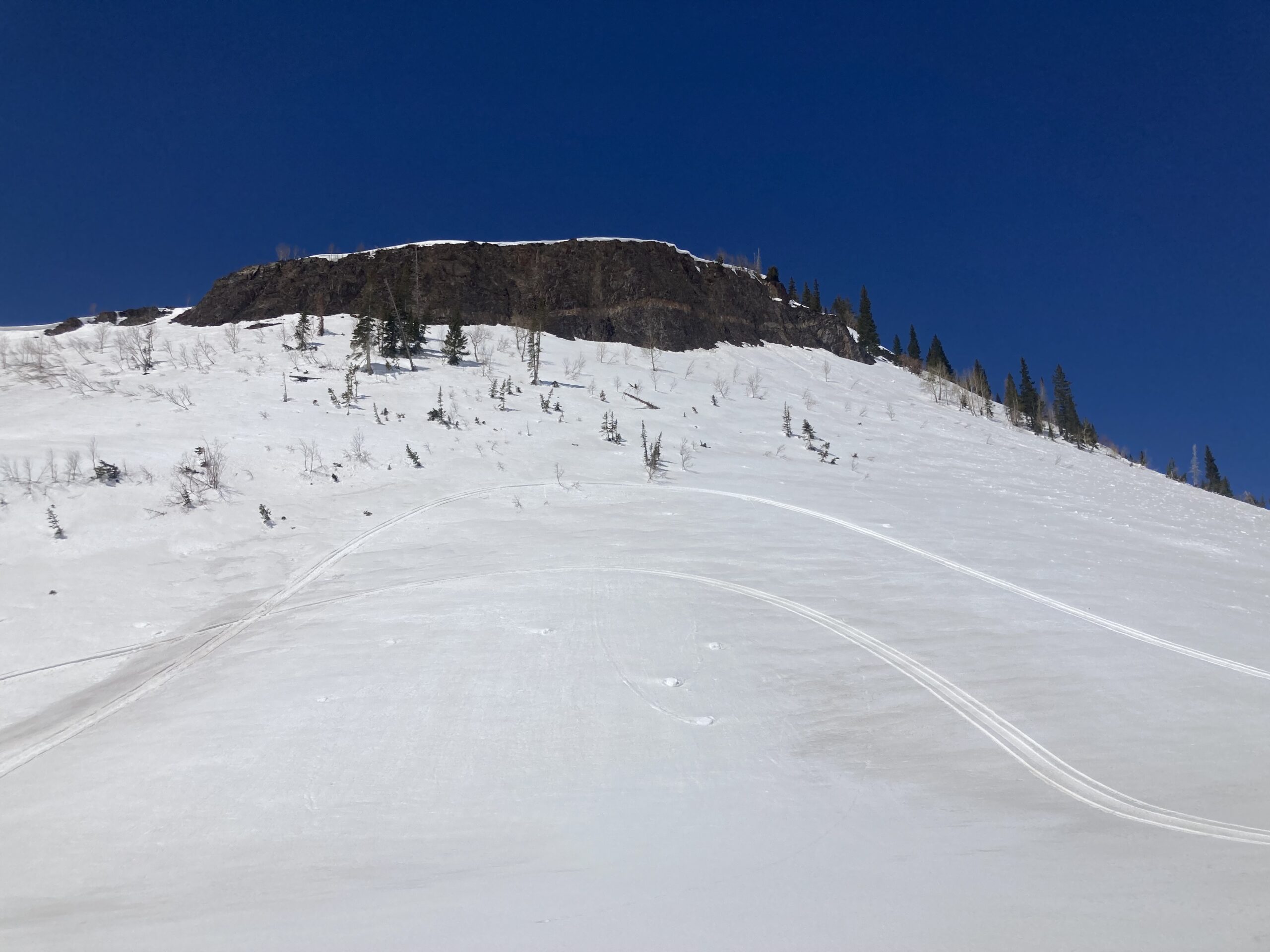
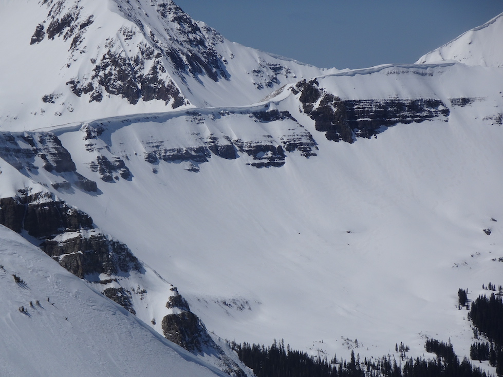
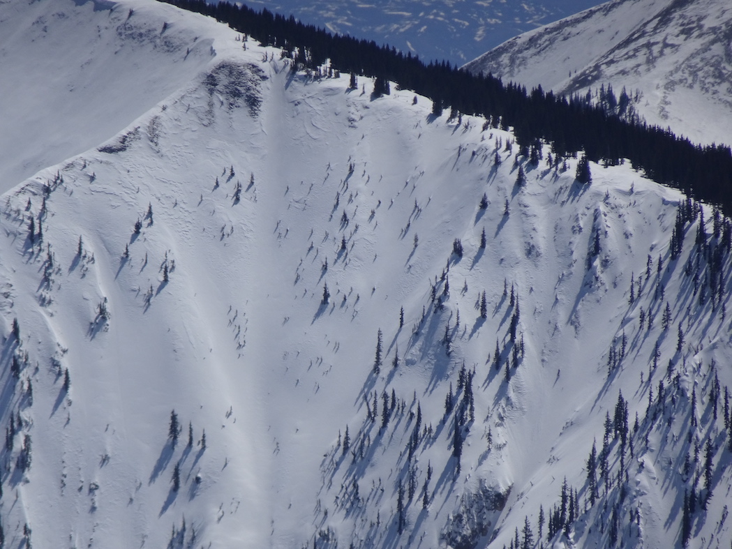
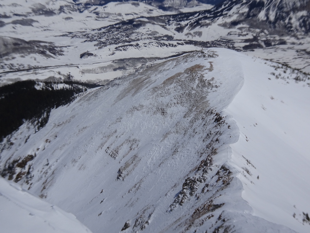
Route Description: Brush Creek TH to Teo (8,900-13,200ft); S, SW & SE aspects.
Observed avalanche activity: Yes
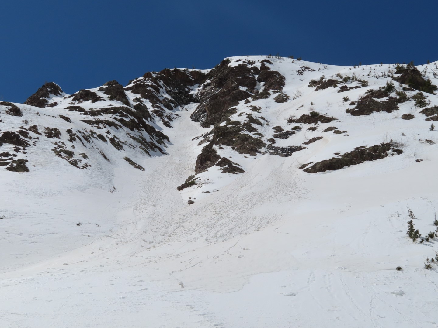
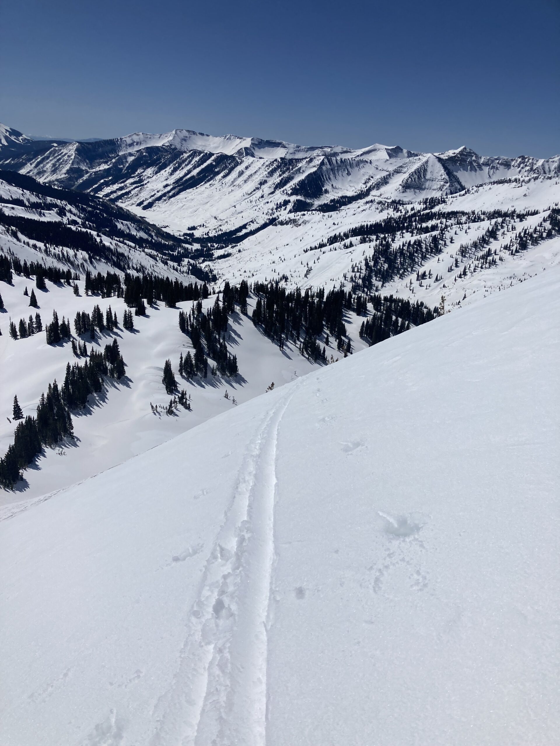
Avalanches: Shallow (10cm), slow-moving, but very heavy wet slides on every turn from the summit through the rocks. Ran (creeped really) 1,000ft or so. Traversed into SW terrain for the bottom half of the run to find more firm snow. We were descending around 1:15. Should have listened to Zach and got to the top by 12:30!
Weather: Upper teens to start, but rapidly warming into the 40’s by mid-day. Not a cloud in the ski and even less wind than forecasted (like none). Nearly took my pants off on the skate out because I was too hot!
CBAC Note: Travis did win the Weston skis for most quality observations submitted this year. Thank you Travis, awesome job! Good luck beating the corn window now that you’re anchored down by fatter, heavier skis.
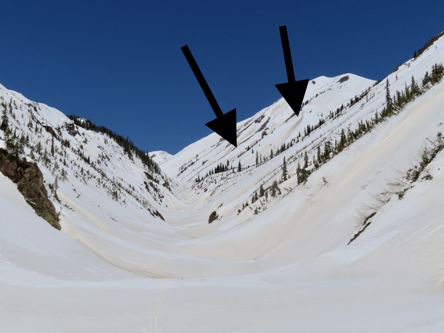
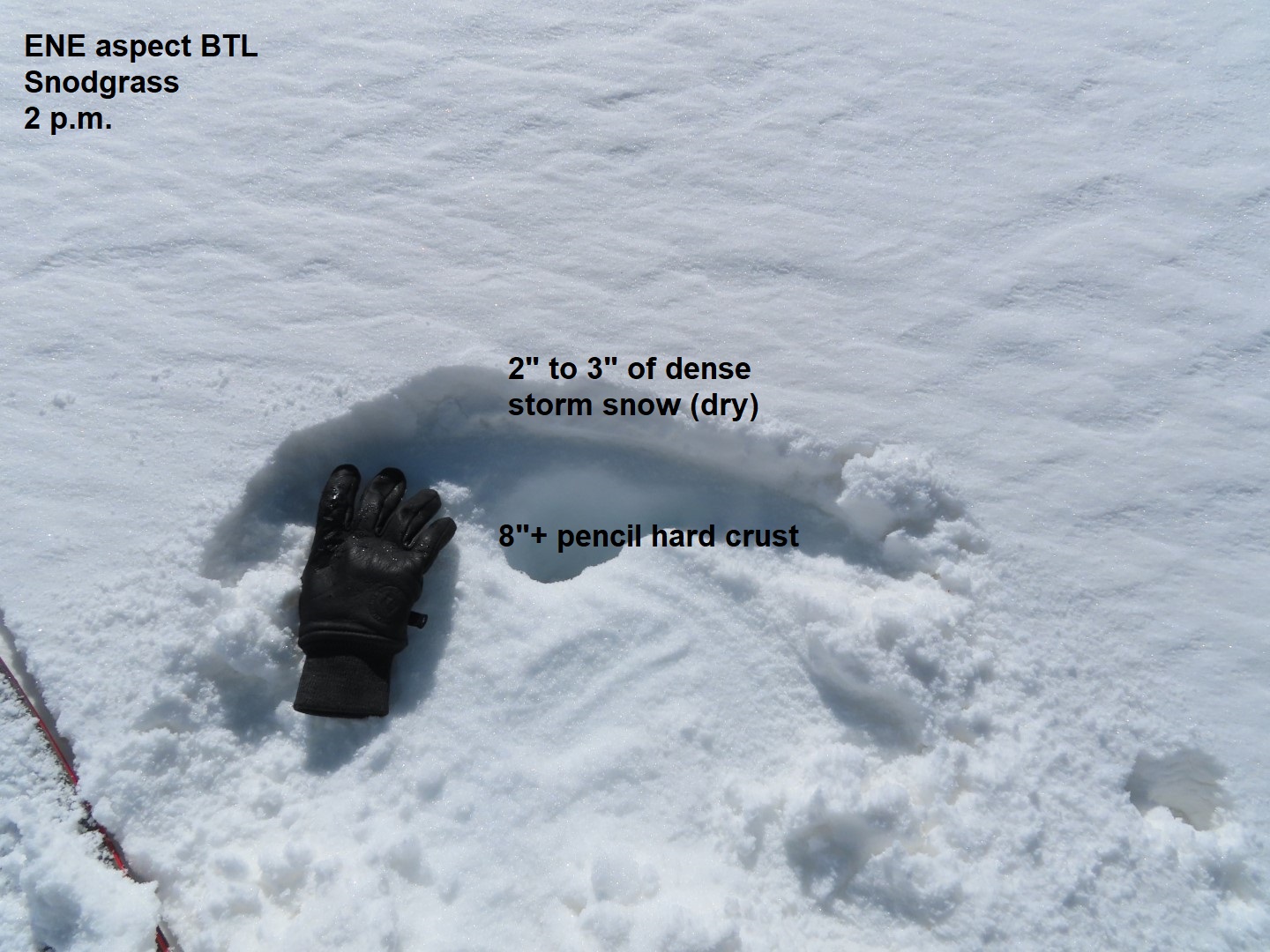
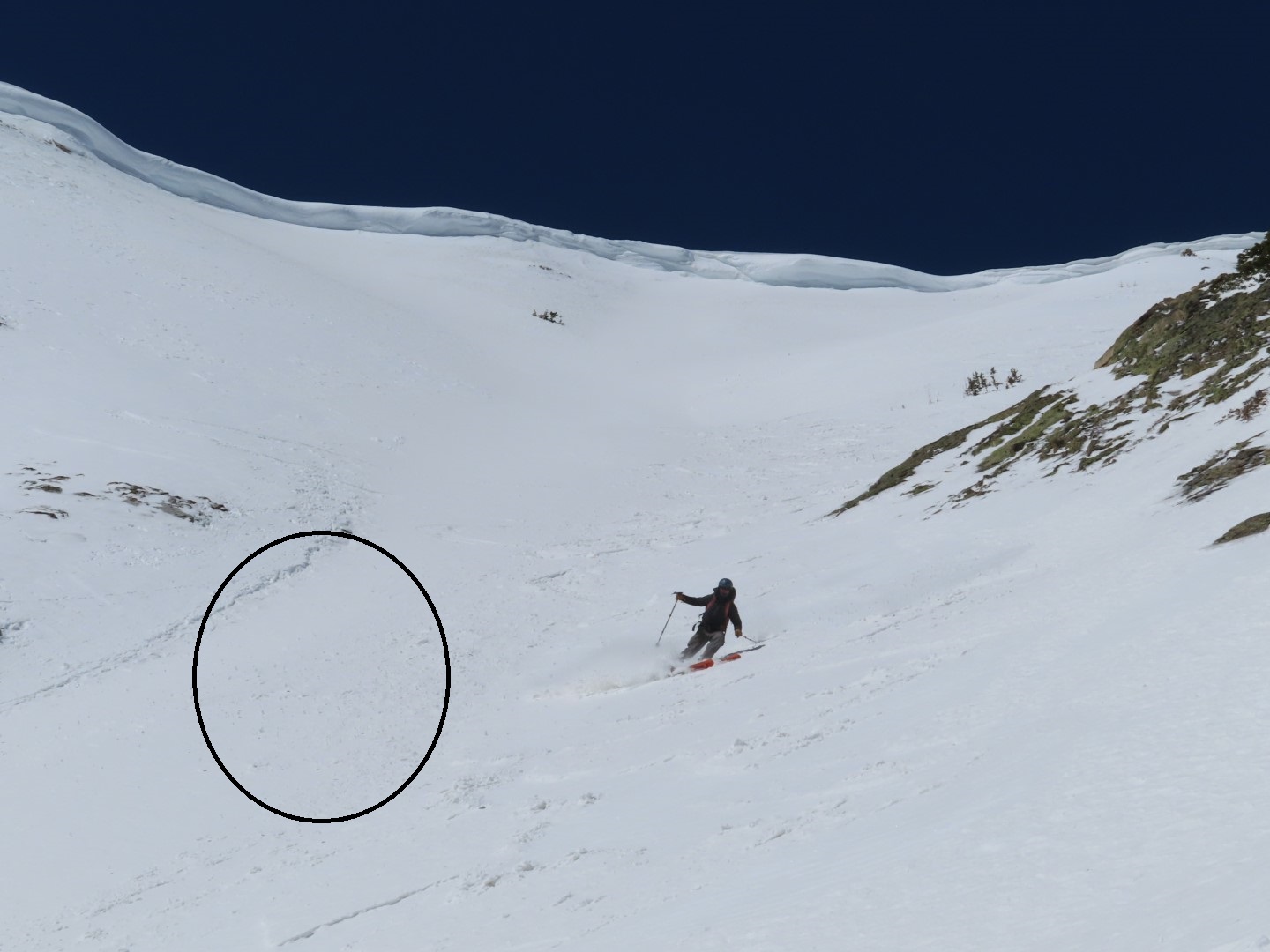
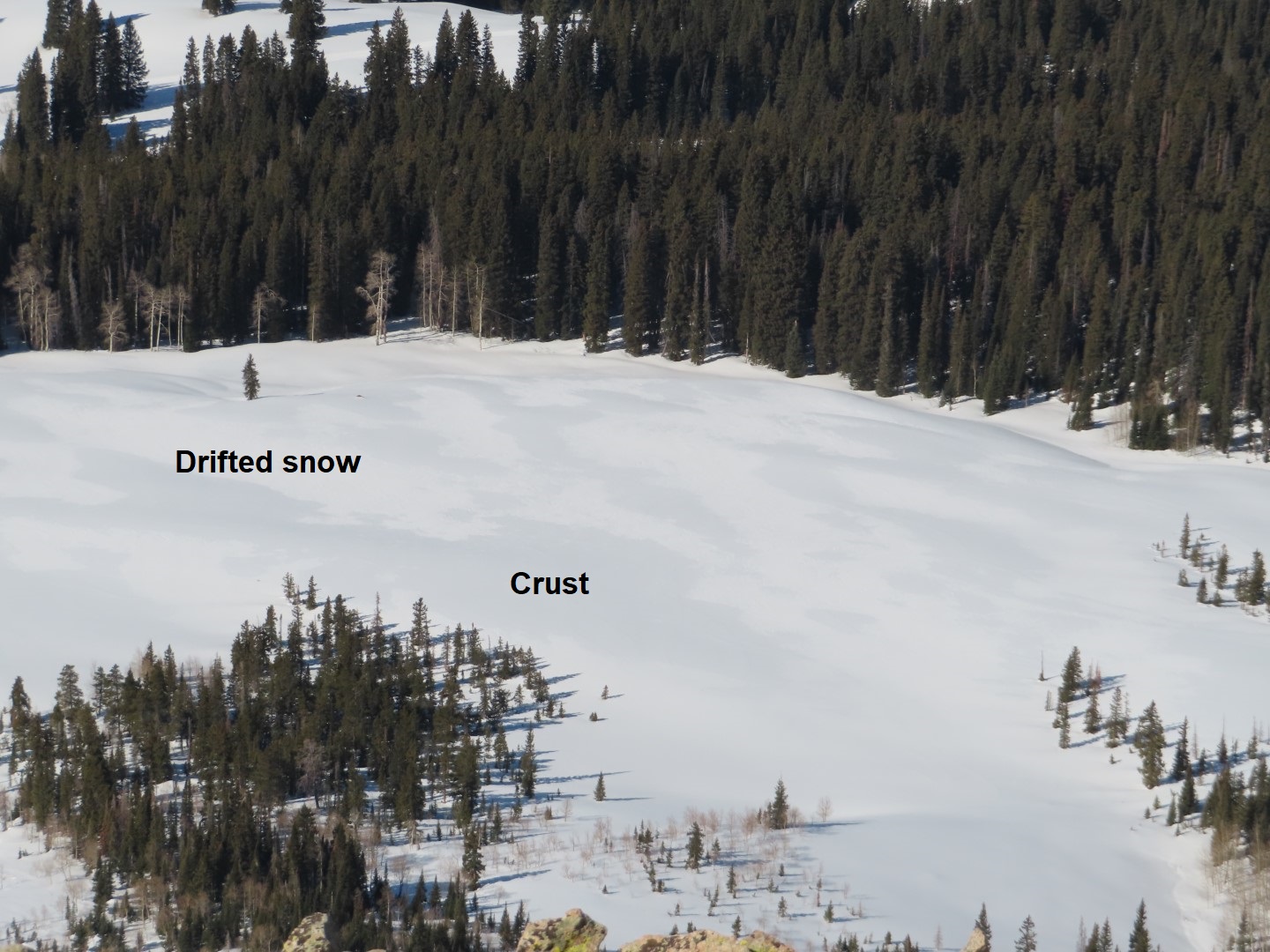
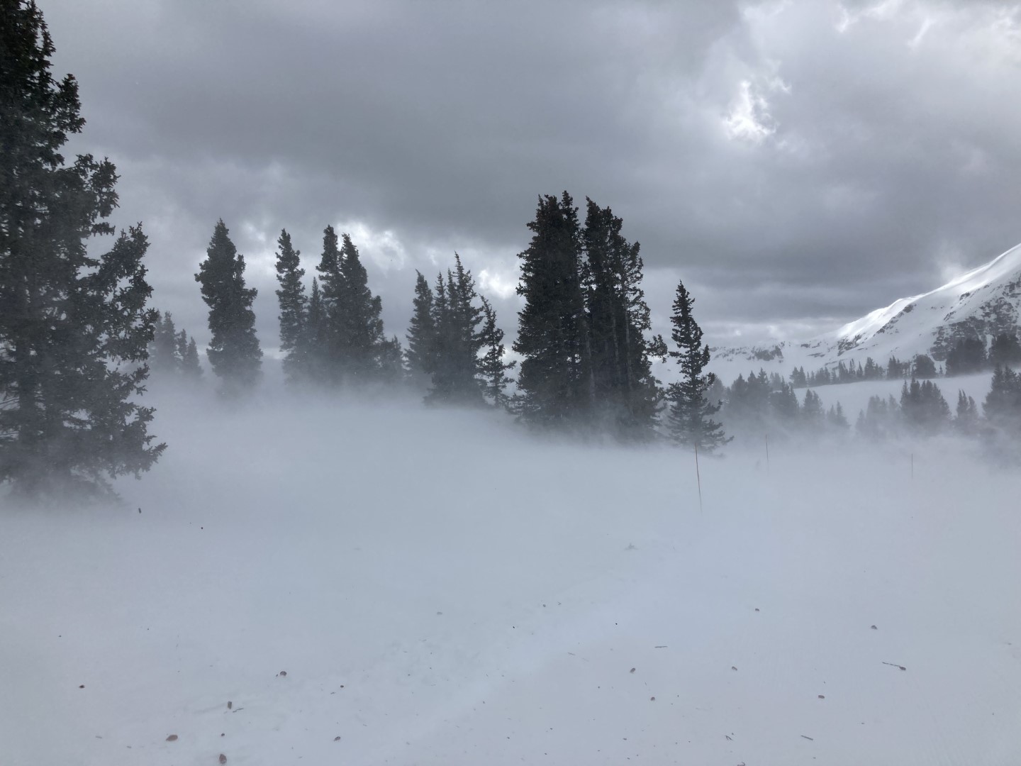
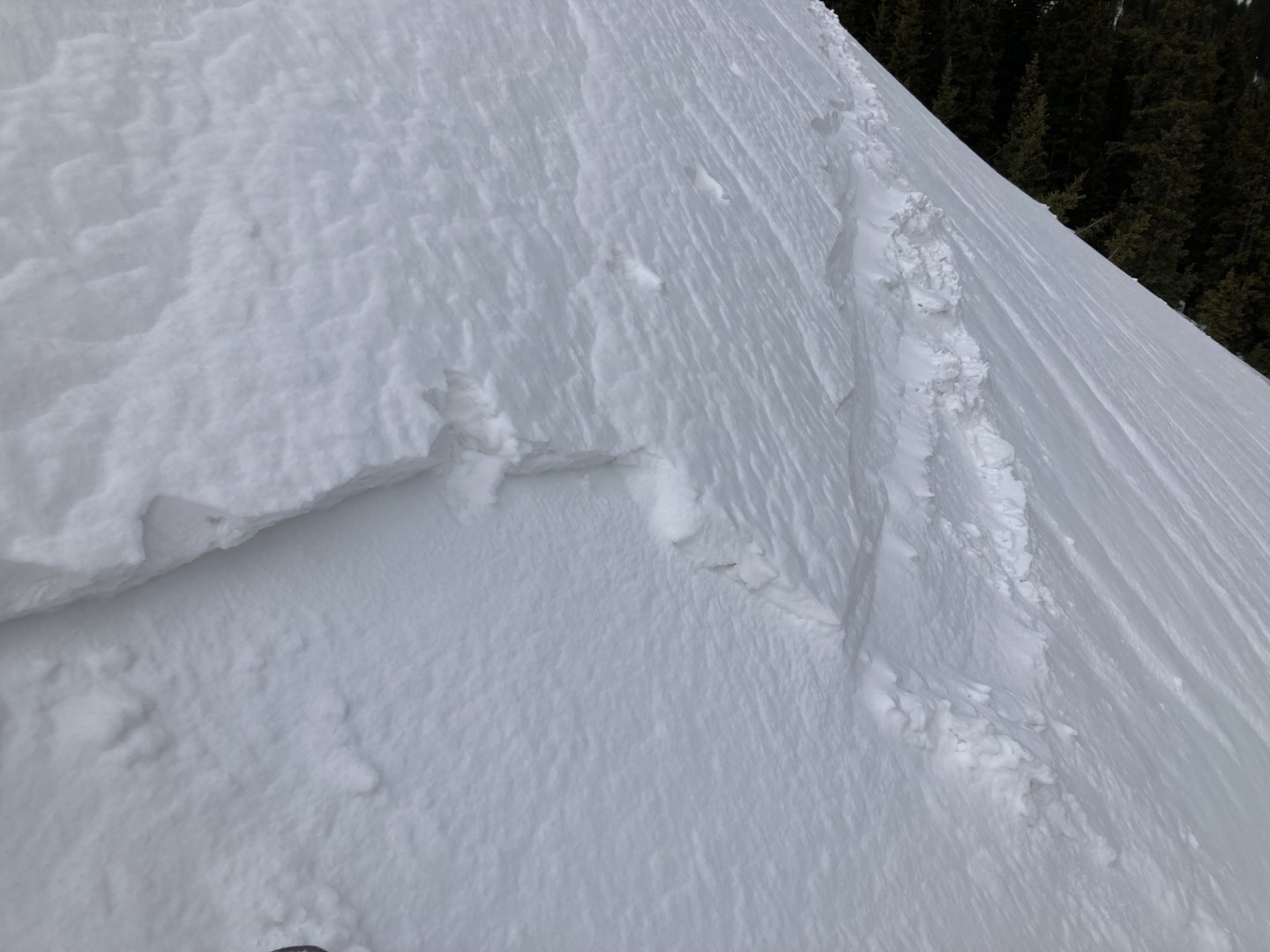
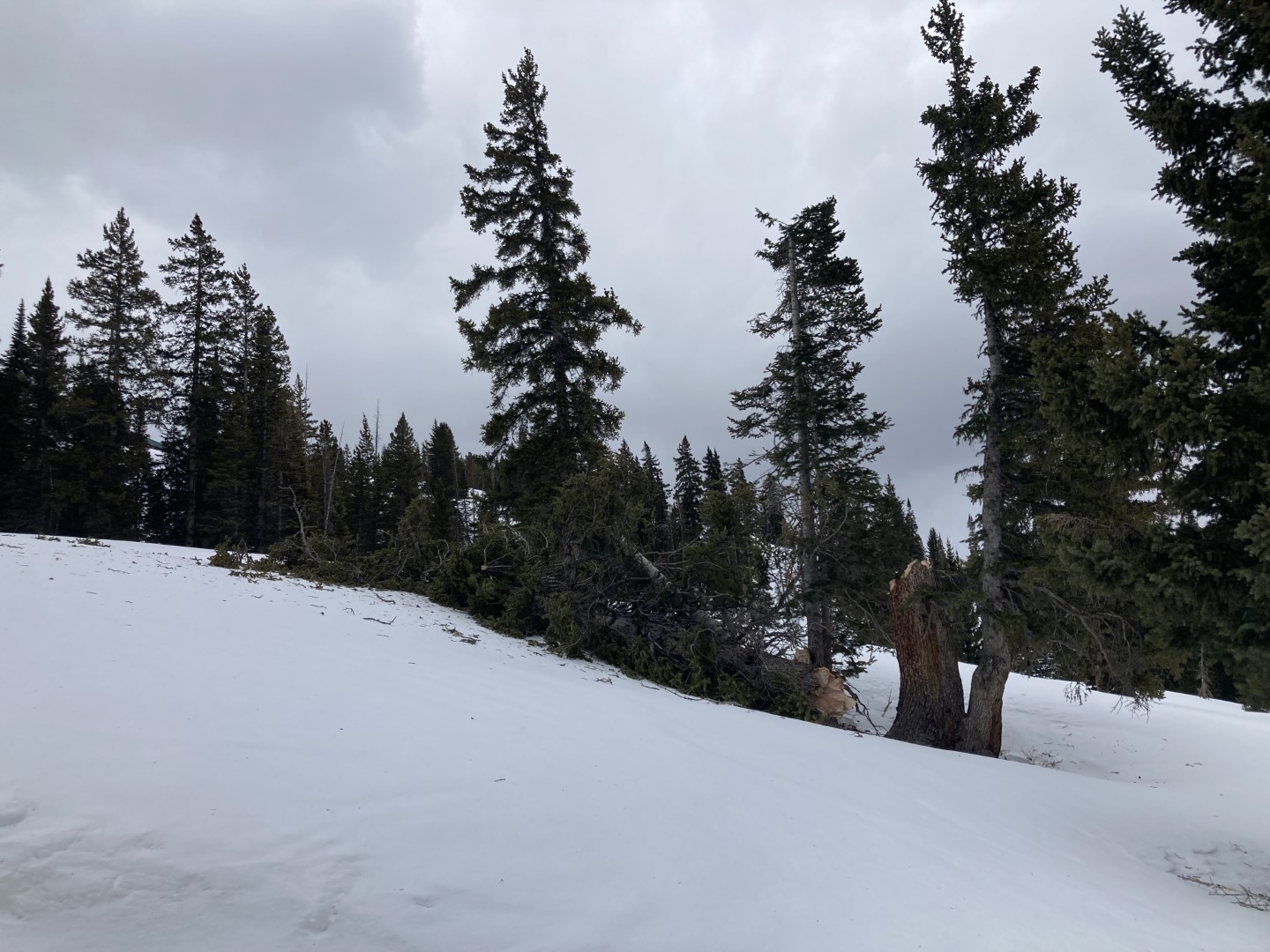
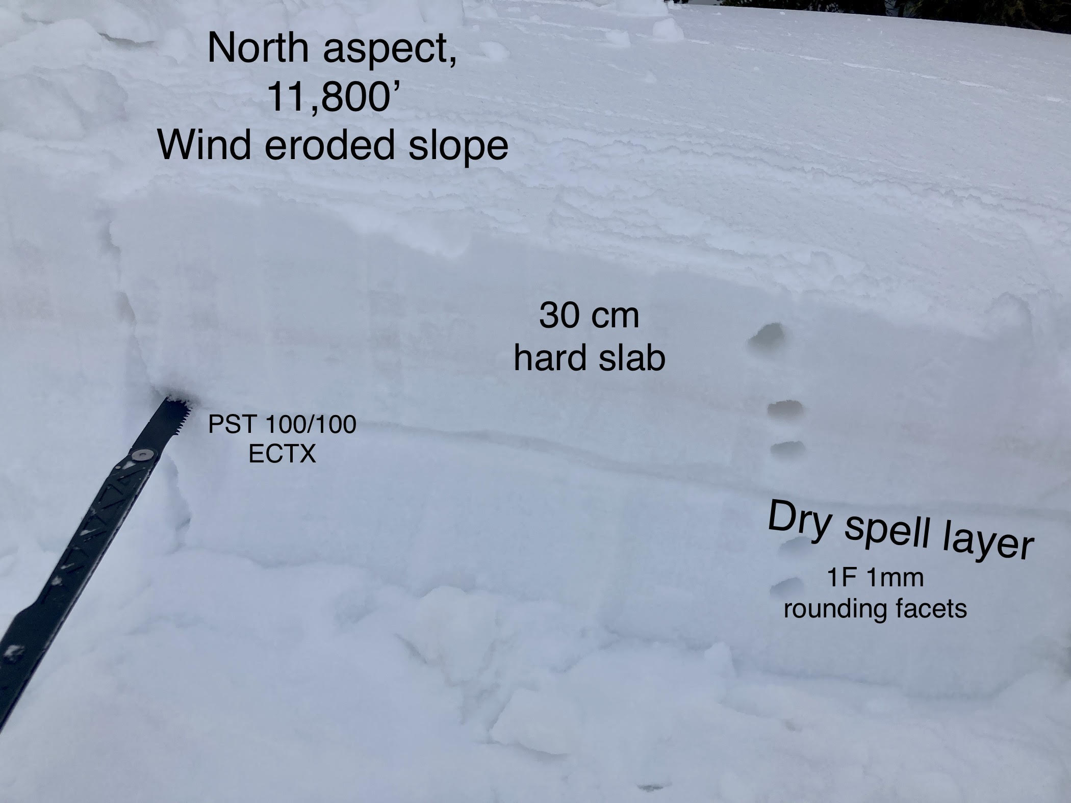
Photos: