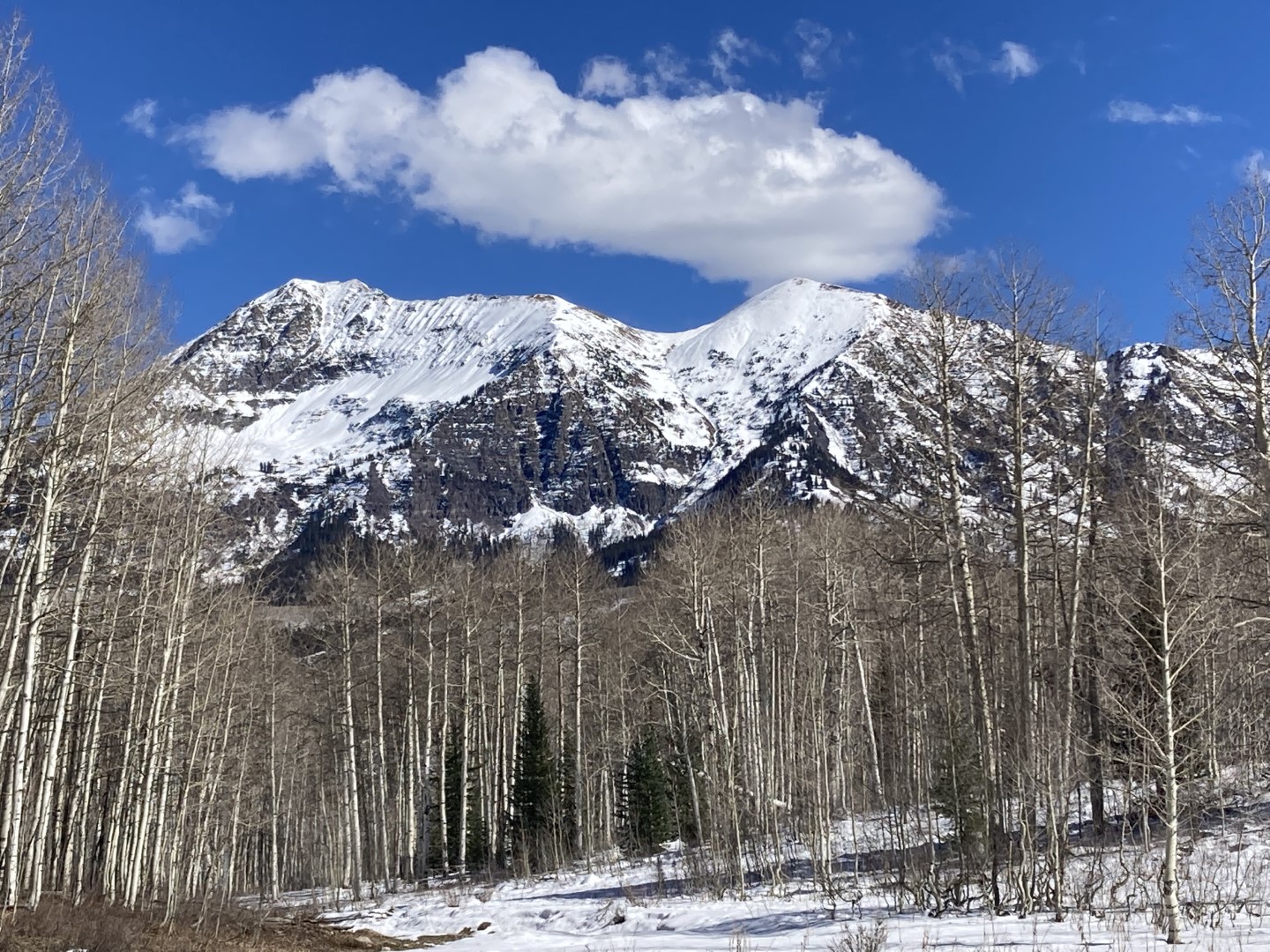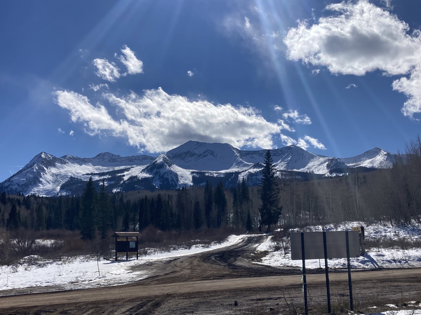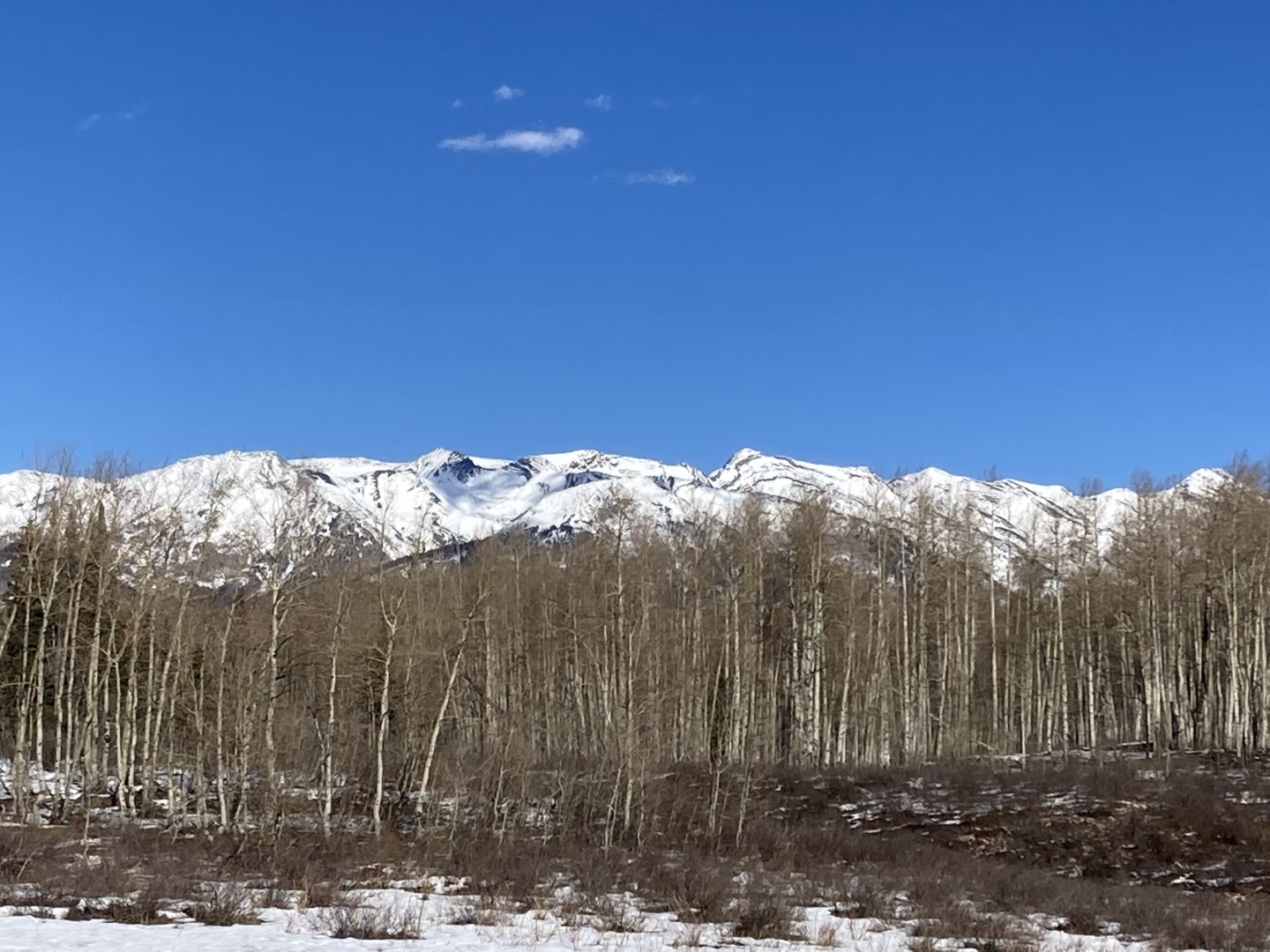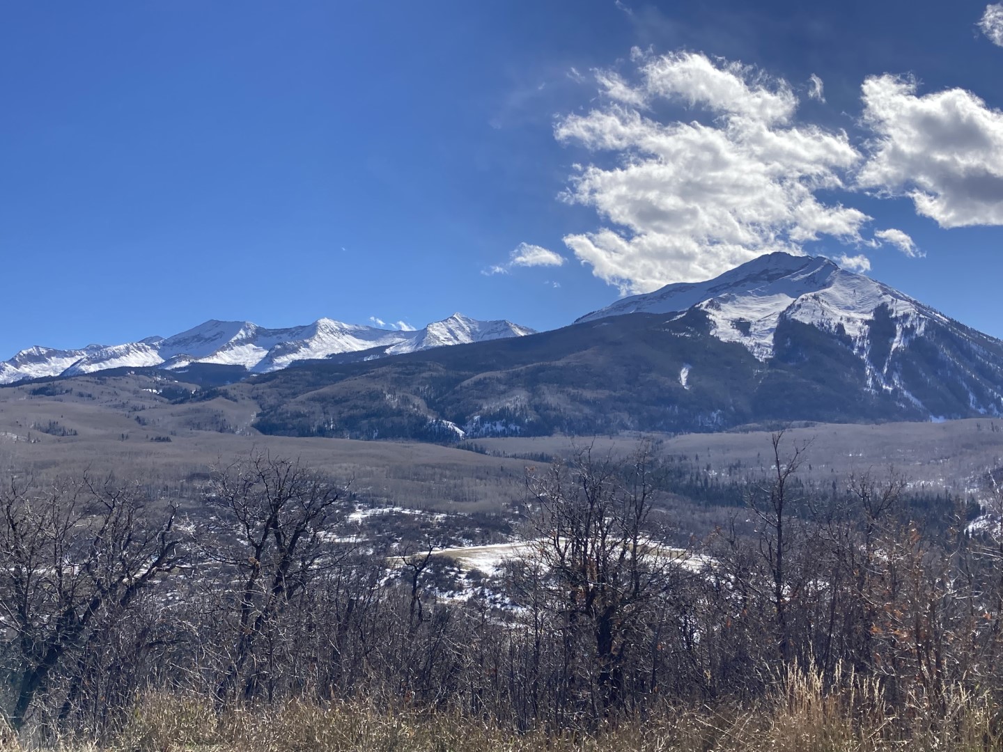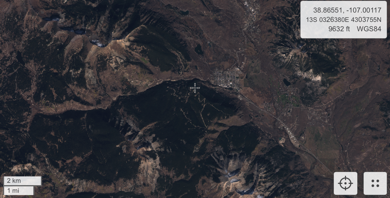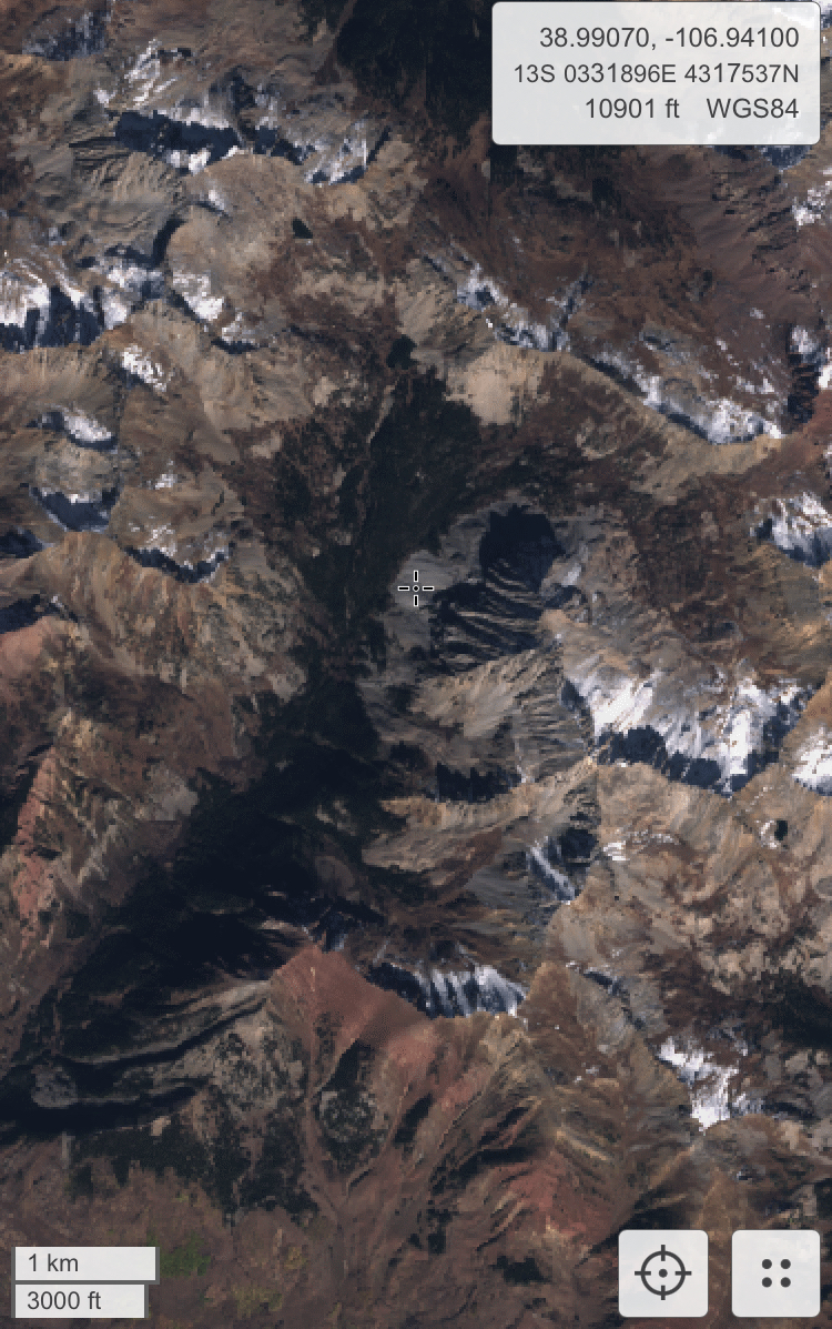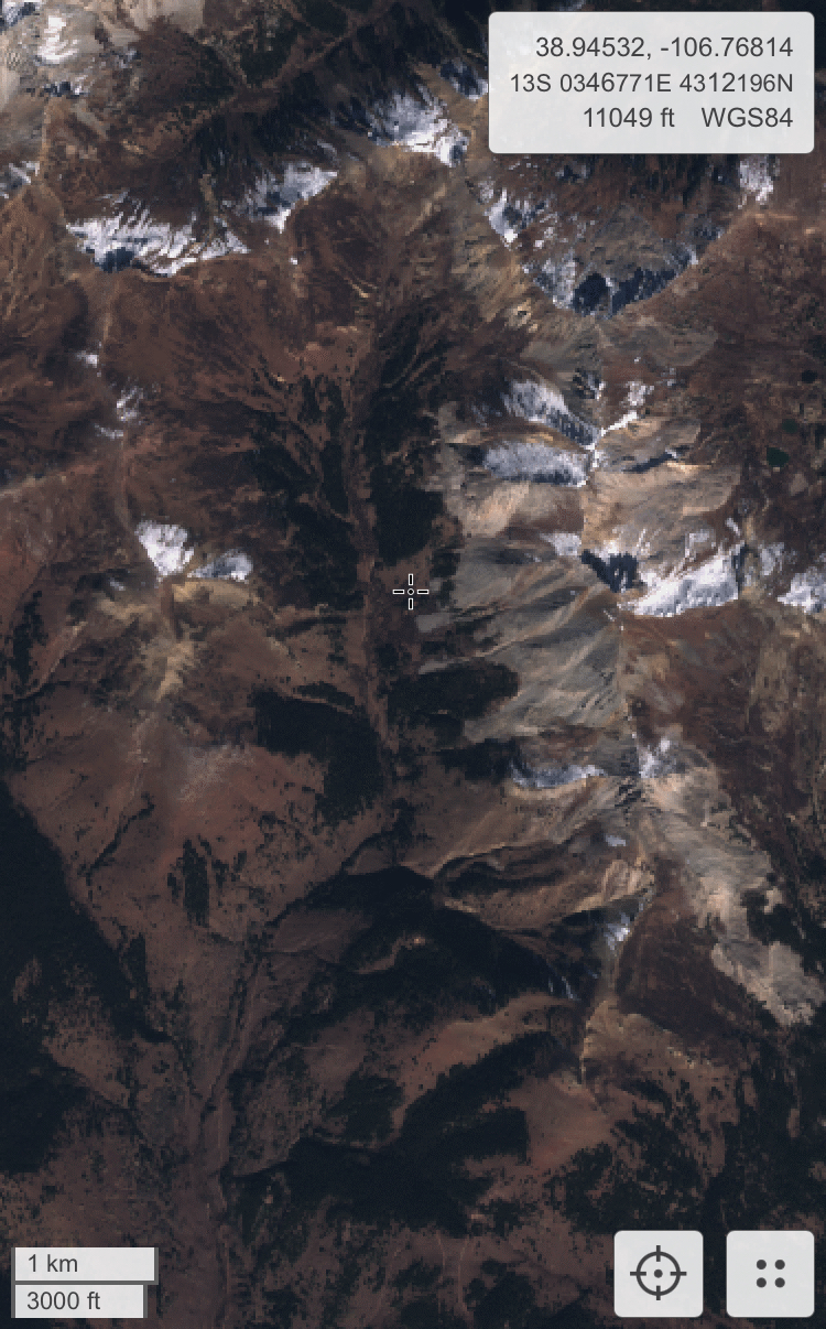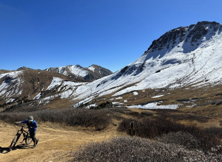
Ruby Range alpine ob

CBACCBAC Observations

Date of Observation: 11/02/2022
Name: Eric Murrow

Zone: Northwest Mountains
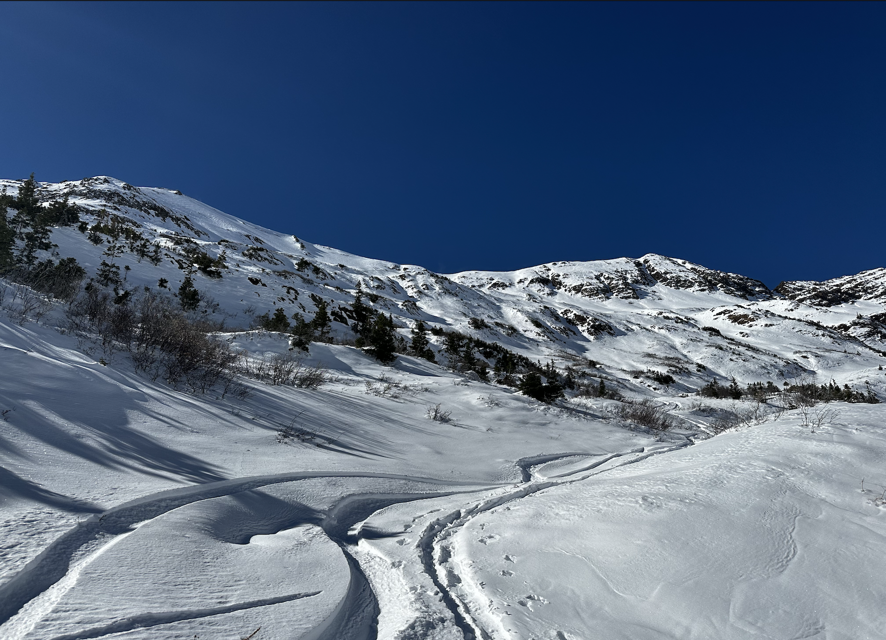
Route Description: Toured from base of switch back at the head of Slate River up towards Purple Mountain.

Observed avalanche activity: No
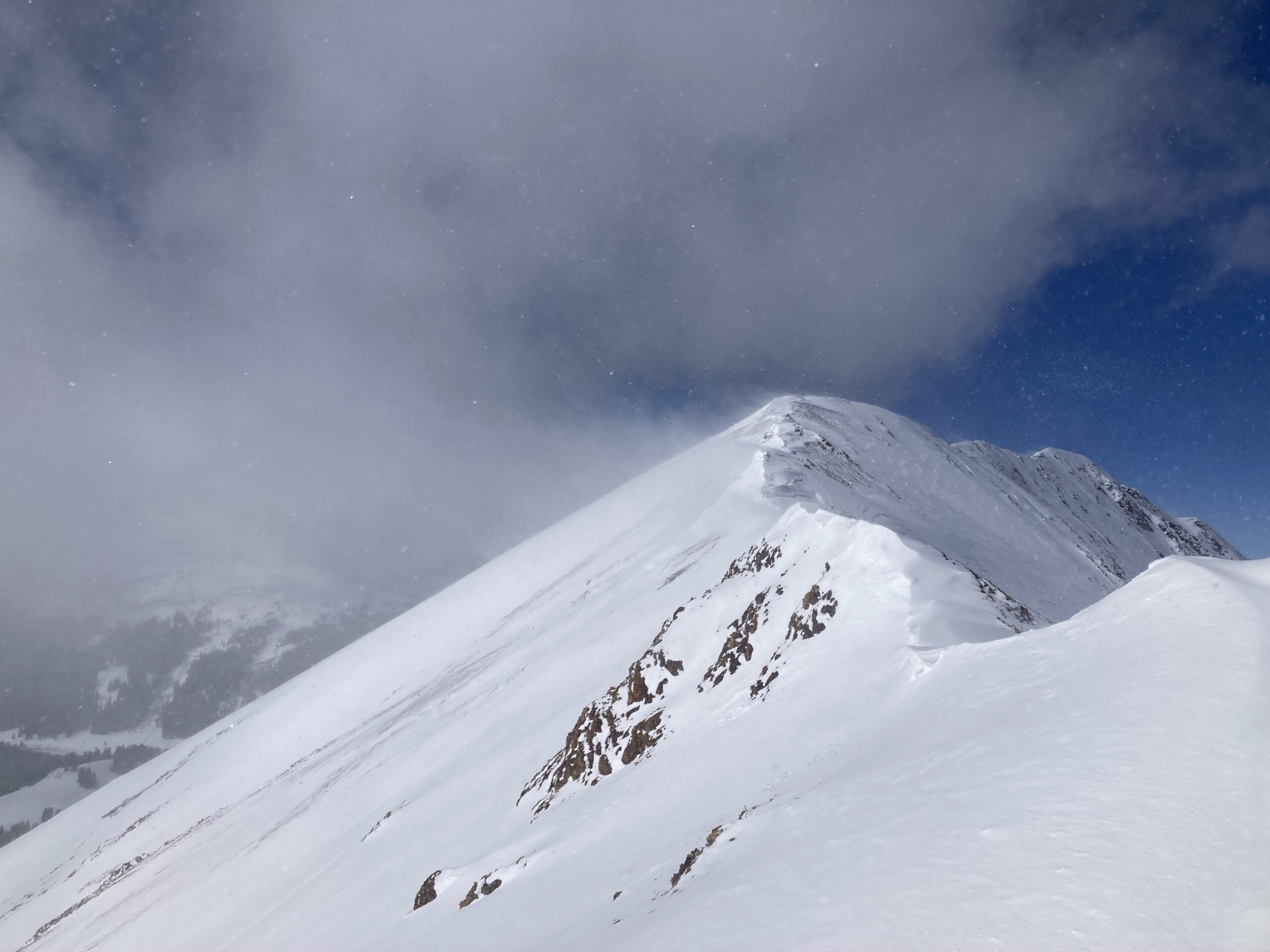
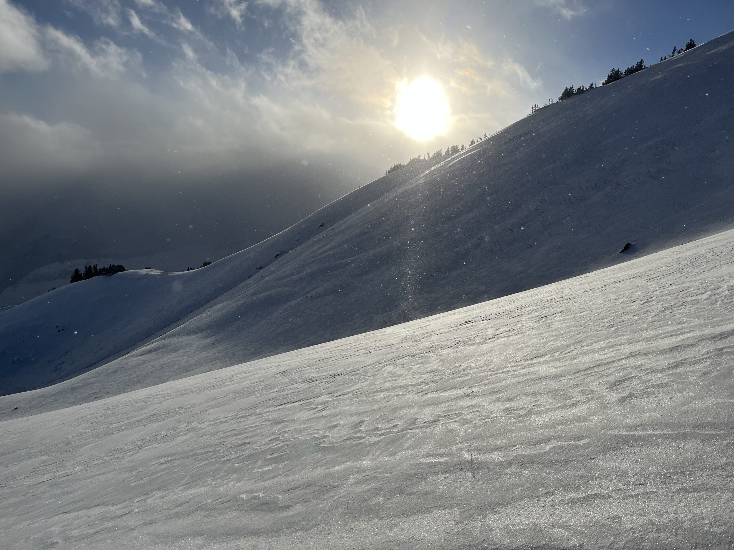
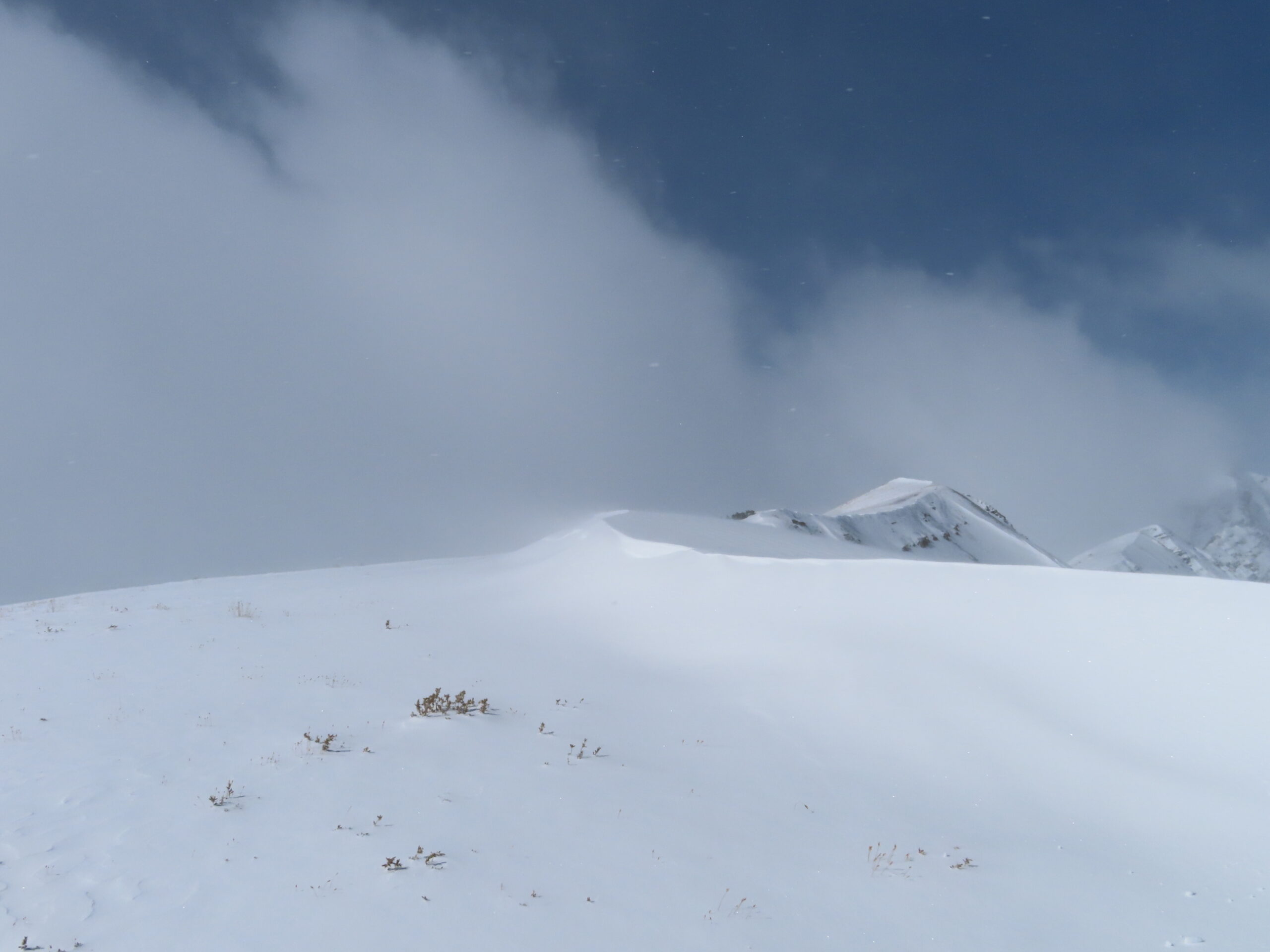
Weather: Sunny skies, mild air temperatures, and moderate wind speeds with small amounts of snow transport above treeline.
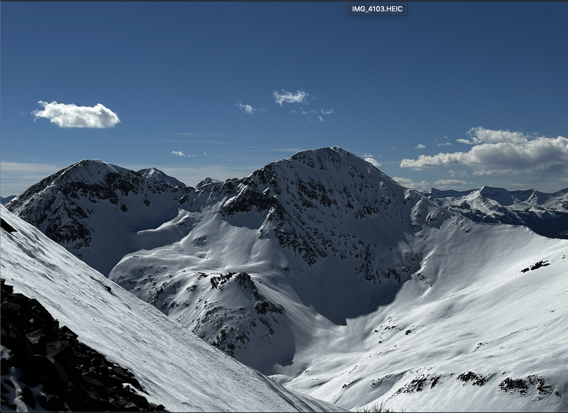
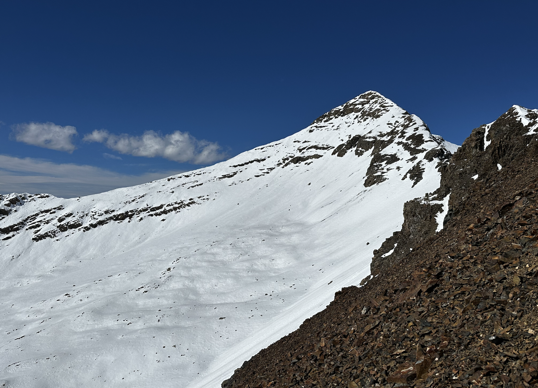
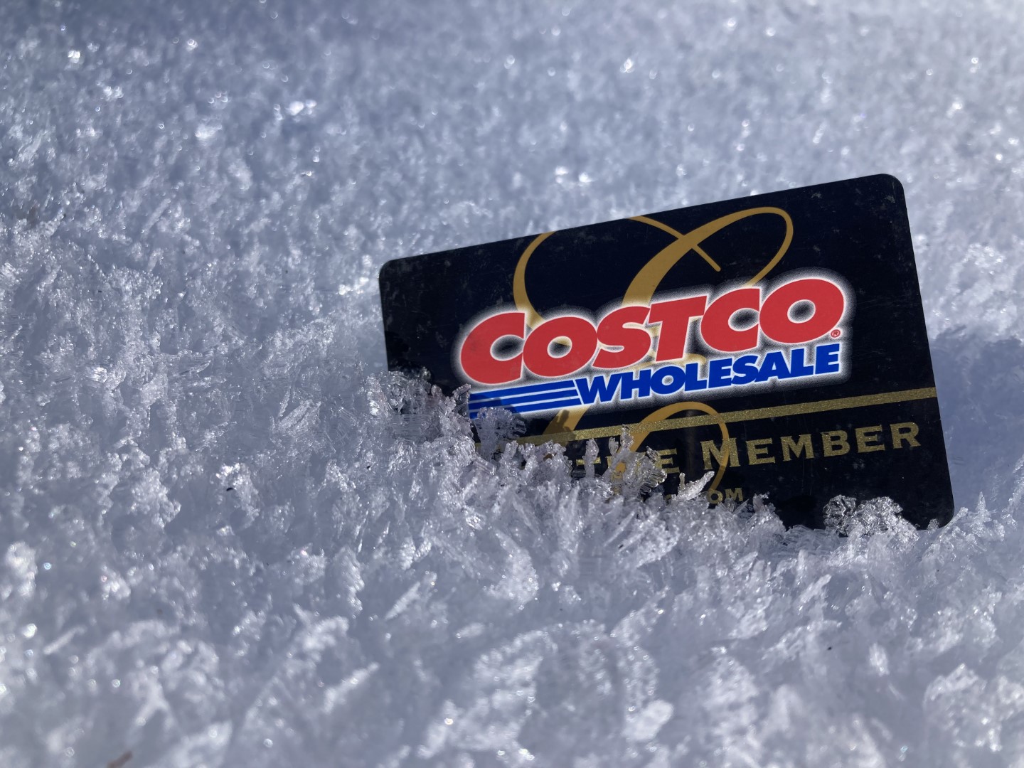
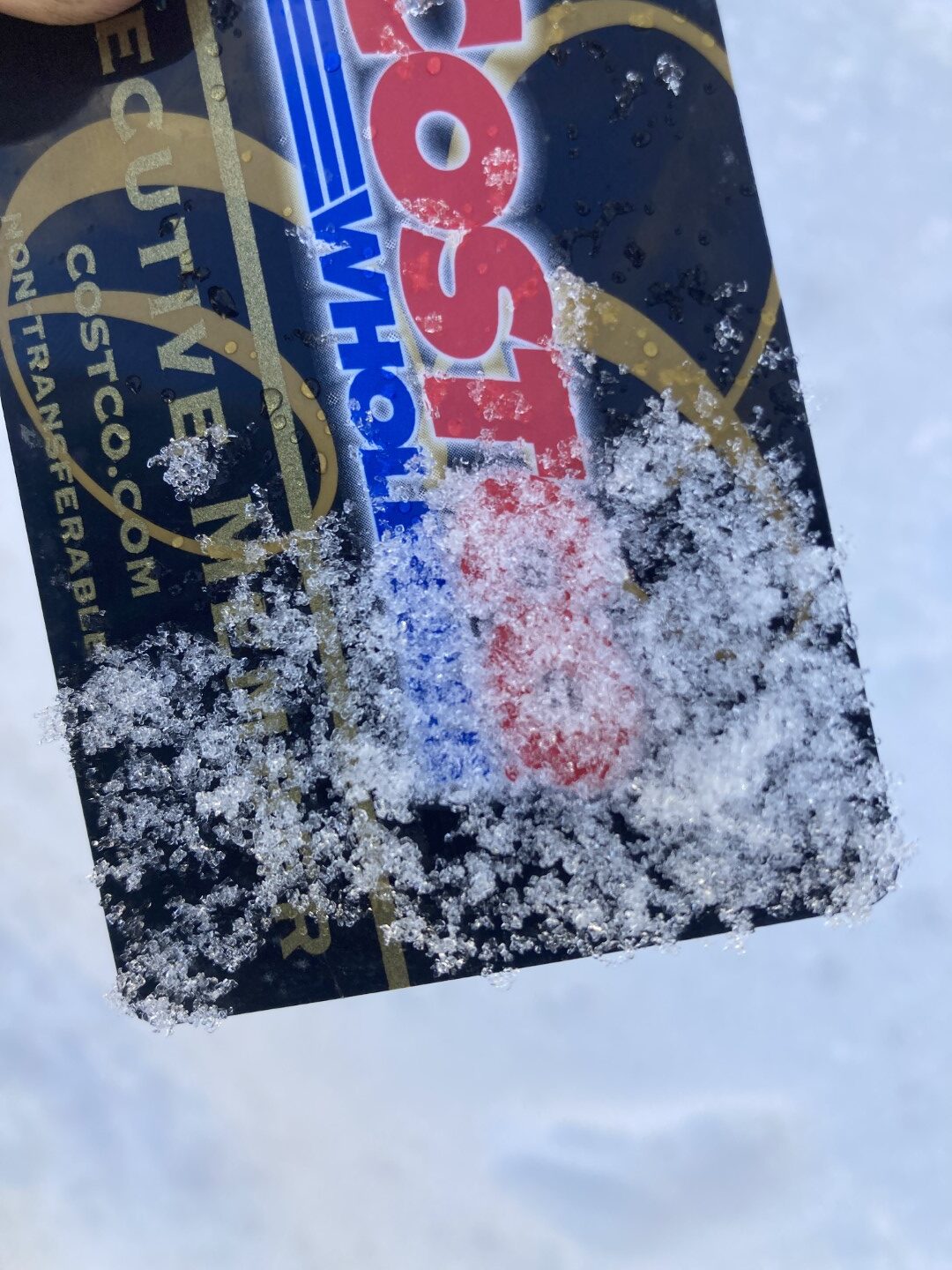
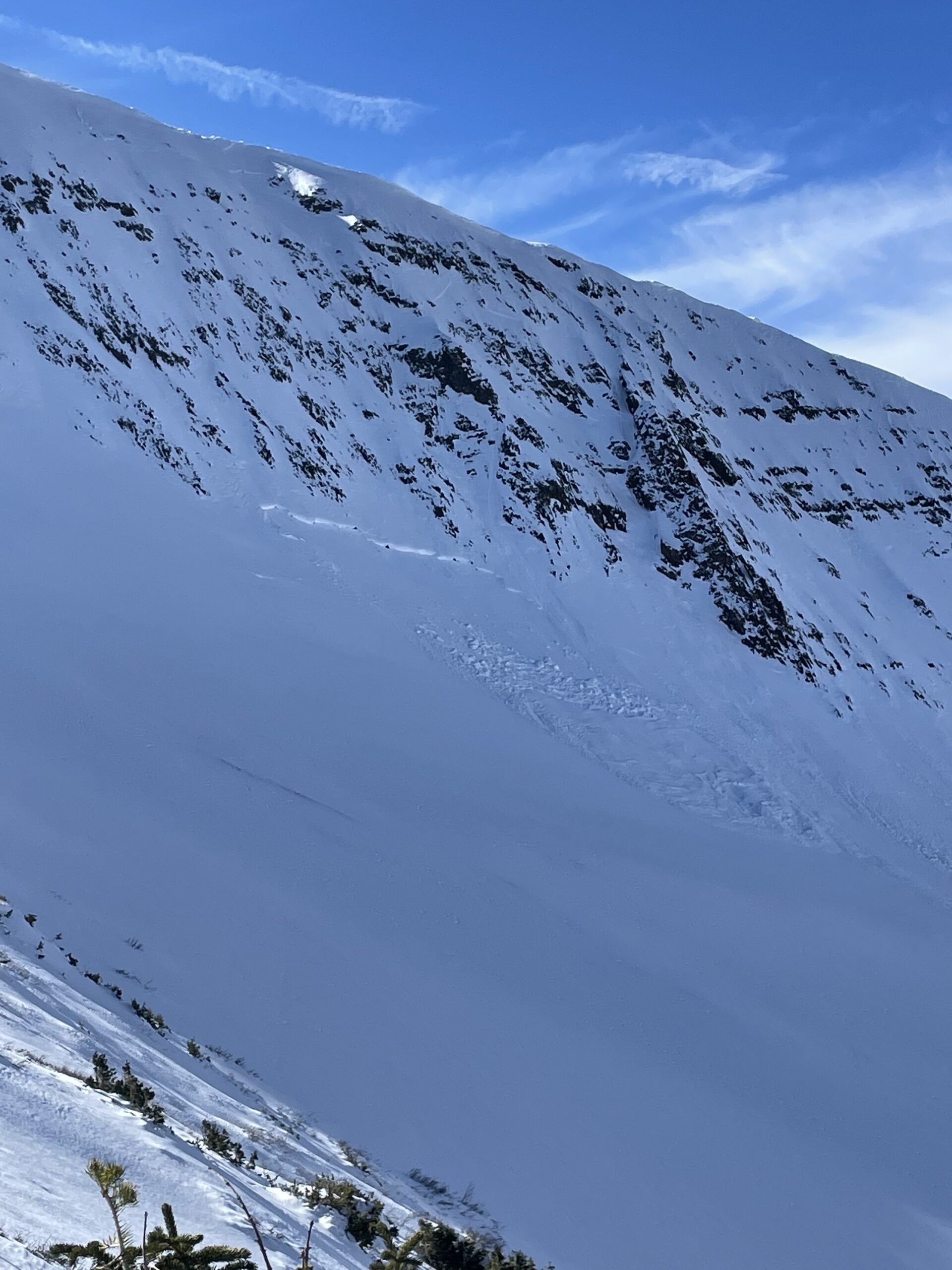
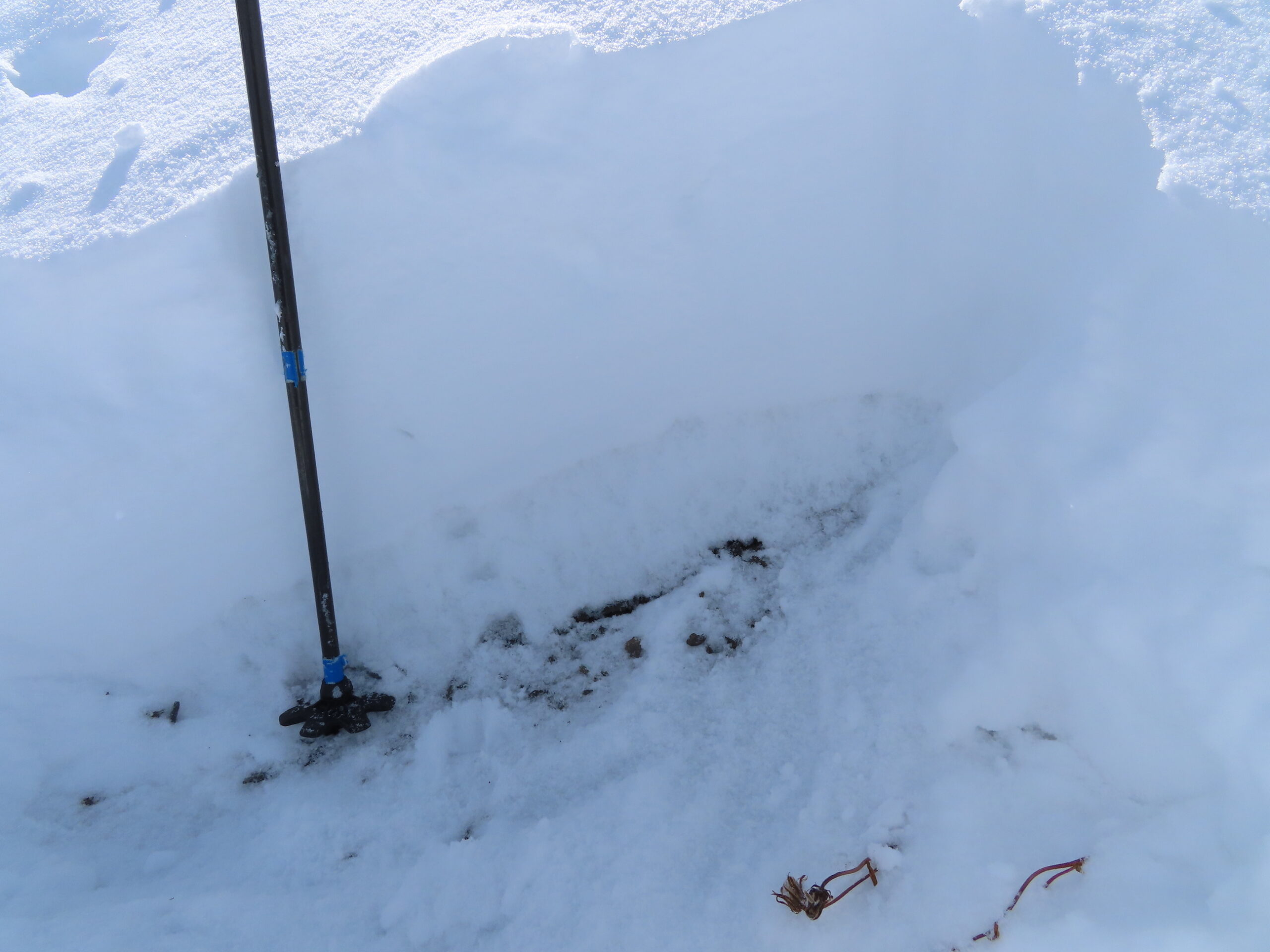
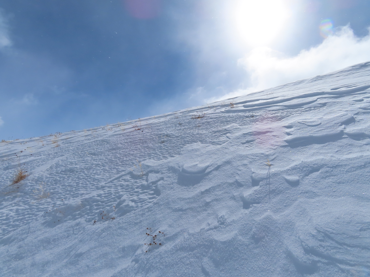
Snowpack: Continuous snow coverage exists on the north half of the compass in this portion of the forecast area ranging from around 10 inches below treeline to a bit more than 2 feet above treeline. Small faceted grains (less than 1mm) comprise much of the snowpack on shaded slopes. Above treeline on northerly slopes, the snow surface was a mix of stiff windboard and soft faceted grains. At the highest elevations, there is a melt/freeze crust resting on the ground from snow early in the fall (see profile image). The few sunny slopes traveled showed a shallow, moist snowpack without any concerning weak layer formation.

Photos:

[/gravityforms]
5604

Pre-storm surface obs from Kebler

CB Avalanche CenterCBAC Observations

Date of Observation: 11/2/2022
Name: Zach Guy

Zone: Northwest Mountains
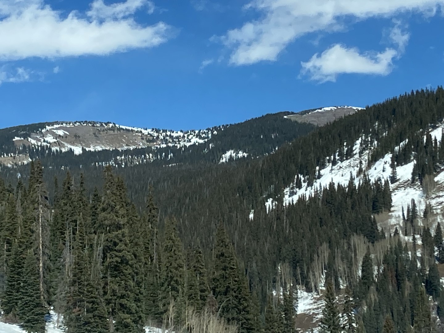
Route Description: Driving Kebler Pass

Observed avalanche activity: No
Weather: Sunny, breezy, mild temps. A few snow plumes off of the high peaks this morning.
Snowpack: The current surface is our most pronounced and widespread weak layer to date. There is continuous snow coverage across most West to North to East aspects at all elevations. The southern quadrant has patchier coverage above treeline and is mostly melted off below treeline. Below treeline, snow depth averages about 10 inches in the shade. The snowpack is .5-.7mm developing facets on steep northerlies, with large surface hoar in open areas below treeline. On southerlies and flat terrain, the snowpack was wet grains throughout, with no obvious weak layer development.

Photos:

5603

Halloween bowl natural

CB Avalanche CenterCBAC Observations

Date of Observation: 10/29/2022
Name: Turner Petersen

Zone: Northwest Mountains
Route Description: Toured from Scofield pass with Whitney and Lawson

Observed avalanche activity: Yes
Avalanches: Natural slab avalanche around 11,800ft N face in Halloween bowl. Assuming it ran on Wednesday.
Weather: Sunny, upper 30’s
Snowpack: 35-40cm?

Photos:

5600

Gothic Weather 10/27

CBACCBAC Observations

Date of Observation: 10/27/2022
Name: Billy Barr

Zone: Southeast Mountains
Route Description: Gothic Townsite

Observed avalanche activity: No
Avalanches:
Weather: Steady snow yesterday before a pause near sunset and then scattered light snow during the night before picking up around 4 a.m. and stopping before 6 am.  The 24 hour total is 10″ new with 0.66″ of water.  The snowpack is currently at the winter’s deepest of 14″.  It is overcast and calm and no longer snowing.
Snowpack:

5599

Gothic Weather

CB Avalanche CenterCBAC Observations

Date of Observation: 10/26/2022
Name: billy barr

Zone: Southeast Mountains
Route Description: Gothic townsite

Observed avalanche activity: No
Weather: Snow did not start until around 4 a.m. and was moderate from 5-6:30 but now light with 2½” new and water 0.18″. Cloud cover obscured with the low, and current, a mild 27F after yesterday’s 6F (a record low for that date but only back to 2000). Total snow this winter (i.e. the past couple days) is 8½” with water content of 0.86″. Snowpack currently at 6″. Wind is light at 2-4 mph from the SW.

5598

South Baldy

CB Avalanche CenterCBAC Observations

Date of Observation: 10/25/2022
Name: Alex R

Zone: Northwest Mountains
Route Description: Monday afternoon toured up Washington Gulch. One vehicle ahead of us with chains made it to Paradise Divide, but we had a Subaru and parked below Elkton. The road above Elkton had plenty of coverage to ski on. Continued into the center of the South bowl of Baldy and descended along the same route. 14-16” in the upper portion of the South bowl, less in the lower basin. If you skied lightly, you didn’t hit many rocks. The snow in the upper bowl felt supportive, with a consolidated but thin snowpack due to wind and some solar effect on Monday afternoon. Wind loading on the south west ridge about 10,000’.
Drove up again on Tuesday and the road had melted quite a bit below Elkton, but still held about 10” of snow about Elkton. Depending on how much snow we receive in this mid week storm, the road may become difficult for vehicle travel.

Observed avalanche activity: No

Photos:

5597

A little bit of snow out there

CBACCBAC Observations

Date of Observation: 10/24/2022
Name: Zach Kinler

Zone: Northwest Mountains
Route Description: Purple Ridge

Observed avalanche activity: No
Avalanches: None observed
Weather: Felt like winter, Partly to Mostly Cloudy, moderate northerly winds with stronger gusts on ridge-top, temps in the 20s
Snowpack: 12-15″ of snow from the recent storm above 11K.  Small drifts up to 2 feet just below ridge-top. Some cross-drifting was observed on the easterly faces of the Ruby Range. On a North aspect at 12K, older snow from early October was a Pencil hard crust. Northerly winds were moving new snow off of these aspects fairly effectively. No signs of instability in any terrain traveled.

Photos:


October layer

CB Avalanche CenterCBAC Observations

Date of Observation: 10/21/2022
Name: Zach Guy

Zone: Northwest Mountains and Southeast Mountains
Route Description: Satellite imagery of entire zone

Observed avalanche activity: No
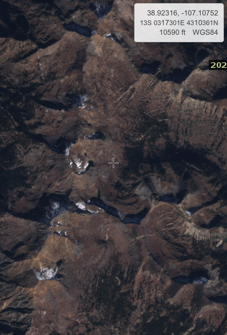
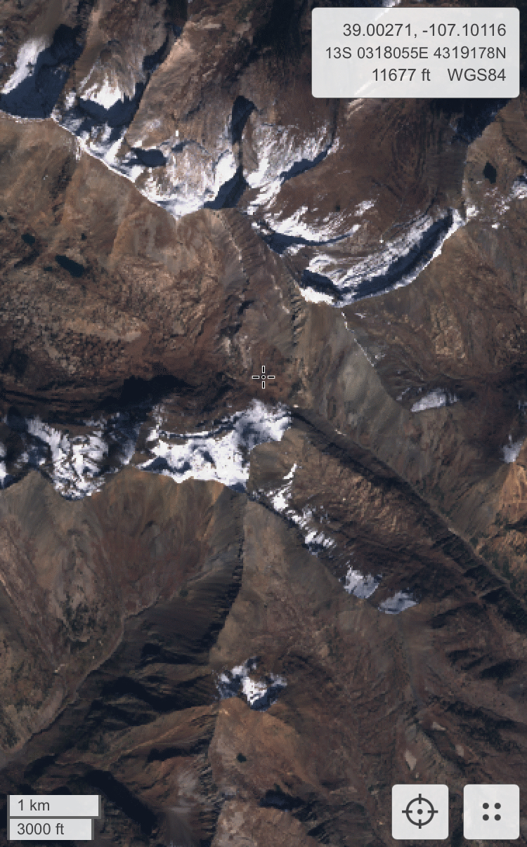
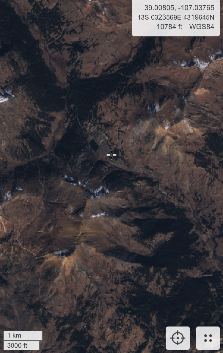
Snowpack: See photos of 10/18/22 Sentinal satellite imagery of snow coverage lingering on a few high northerly slopes.

Photos:

5591

Lingering snow coverage on high north

CB Avalanche CenterCBAC Observations

Date of Observation: 10/21/2022
Name: Mark Robbins

Zone: Southeast Mountains
Route Description: Crystal Pass

Observed avalanche activity: No
Snowpack: See photos of lingering coverage on northerly aspects of Italian, Lambertson, Crystal, and Hunter Hill

Photos:

5590