Name: Chris
Title: Slab
Location: Paradise Divide Area
Date of Observation: 12/07/2014
Aspect: North East
Elevation: 11700
Avalanches: Small slide shaded NE steep rocky terrain slid to the ground on baldy peak on shallow rocky terrain. Appears to be several days old because debris was wind scoured. Bigger slide identical aspect two ridges to the East that appeared old as well
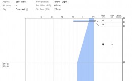
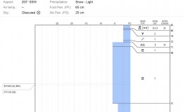
Weather: High Pressure warm
Snowpack: No signs of instability
Uploads:
-
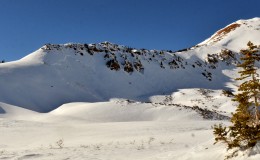
- Small, persistent slab avalanche that failed early December or late November on a NE aspect