SUBJECT: Natural Slides – Ruby Range and Anthracites
DATE OF OBSERVATION: 02/05/2015
NAME: Zach Guy and Evan Ross
LOCATION: Kebler Pass Area
ASPECT: North East, East, South East
ELEVATION: Near/ Above treeline
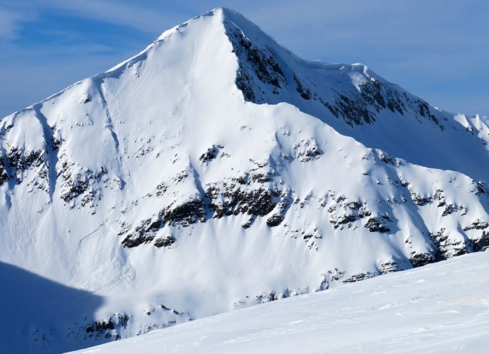
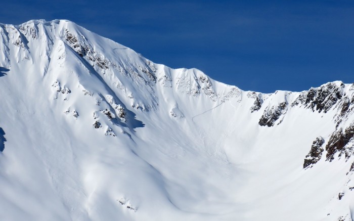
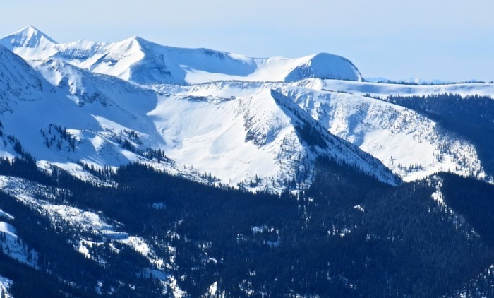
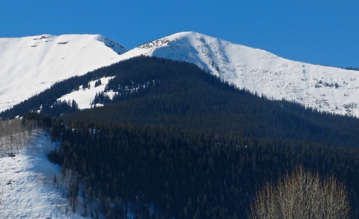
AVALANCHES: Observed 11 fresh natural soft slab avalanches on E, SE, and NE aspects above treeline, mostly D1.5, and one D2. Averaged an estimated 1 to 2 feet deep, ranging from 30 feet to 600 feet wide, averaging about 50-150 feet wide, presumably on or above the Jan 30th interface. Ran in the last 36 hours. Also about 10 very small wet loose avalanches on south aspects near/above treeline from steep, rocky slopes.
- 2x SS-N-R1-D1.5-U on Mt Owen’s E/NE face
- 1xSS-N-R1-D1-U on Mt. Owen’s NE face
- 1xSS-N-R1-D1.5-U on Mt. Afley’s SE face
- 2x SS-N-R1-D1.5-U on Mt Richmond’s E and SE faces
- 1x SS-N-R1-D1.5-U on Hancock Peak’s SE face
- 2x SS-N-R2-D2/1.5-U in the Anthracite Range E aspect ATL (wide propagation, 600 feet?, happened today)
- 2xSS-N-R1-D1.5-U off of Scarp Ridge, NE aspect ATL.
- 10x WL-N-R1-D1-S various south aspects N/ATL
- We skier triggered a fresh windslab on a SE aspect ATL. Up to 18″ deep, 30 feet wide, failing on mid-storm DF’s. SS-ASc-R1-D1-S
WEATHER: Moderate winds with strong gusts began to ease midday, with moderate snow transport in the morning. A high of 39 at 10k feet. Thin clouds, few to scattered.
SNOWPACK: Surfaces became moist on SE to SW aspects N/BTL in wind sheltered areas.
1xSS-N-R1-D1.5-U on Mt. Afley’s SE face
2x SS-N-R1-D1.5-U on Mt Owen’s E/NE face
2x SS-N-R2-D2/1.5-U in the Anthracite Range E aspect ATL (wide propagation, 600 feet?
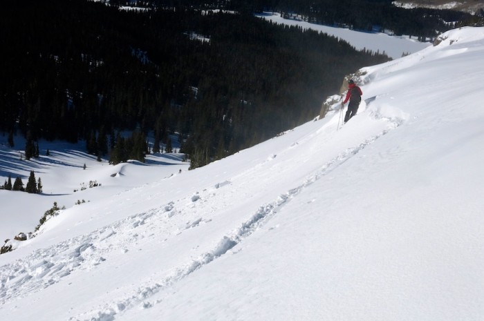
skier triggered a fresh windslab on a SE aspect ATL. Up to 18″ deep, 30 feet wide, failing on mid-storm DF’s. SS-ASc-R1-D1-S
Windslab on east aspect of Red Coon that likely failed naturally on 2/2/15


 IMG_20150205_132418250_HDR


