Date of Observation: 01/03/2023
Name: Eric Murrow
Zone: Southeast Mountains
Route Description: Cement Creek TH along roadway to mid-Cement area toured near ‘Grassy Hill’ and Hunter Creek on westerly aspects.
Observed avalanche activity: Yes
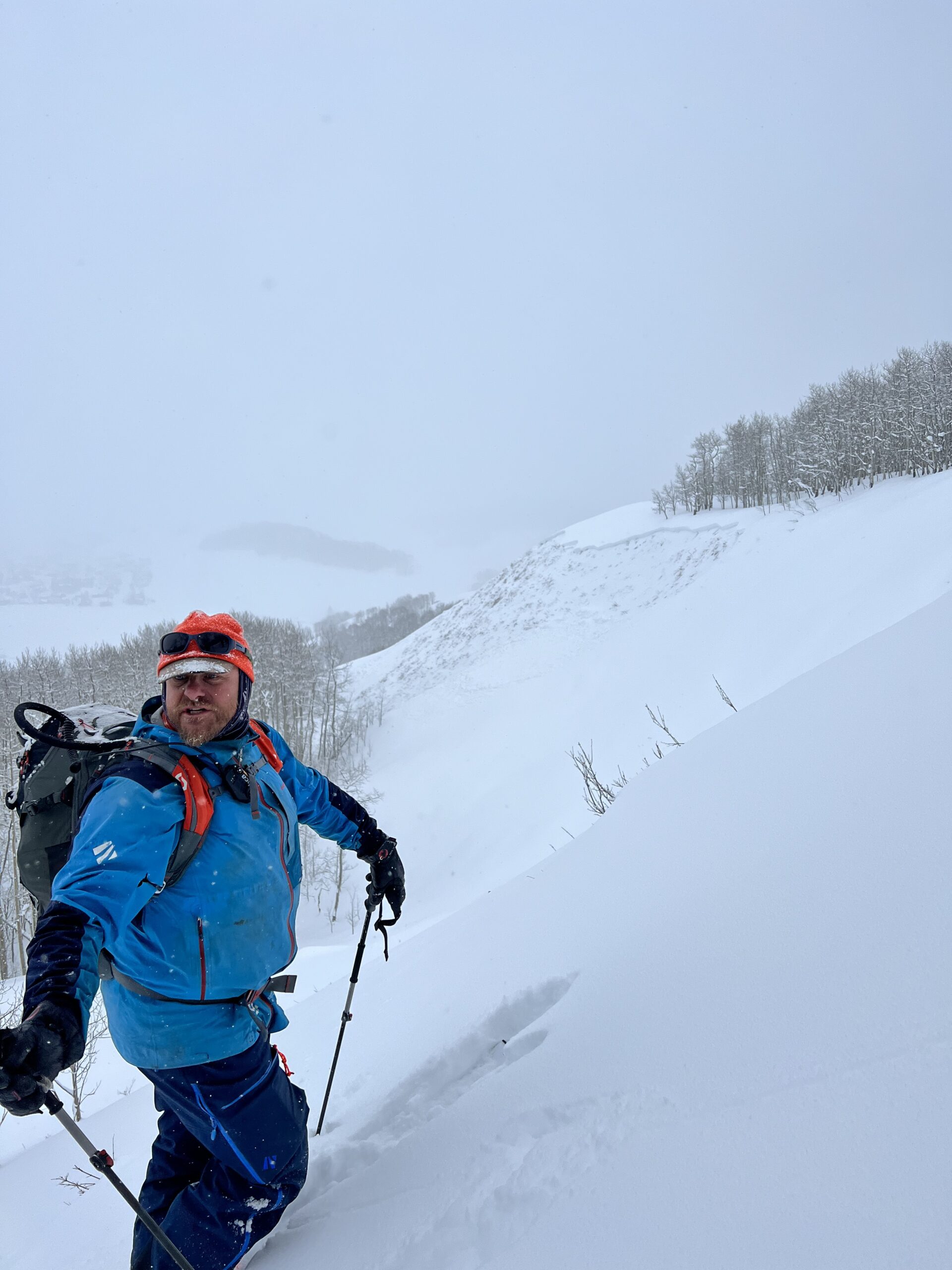
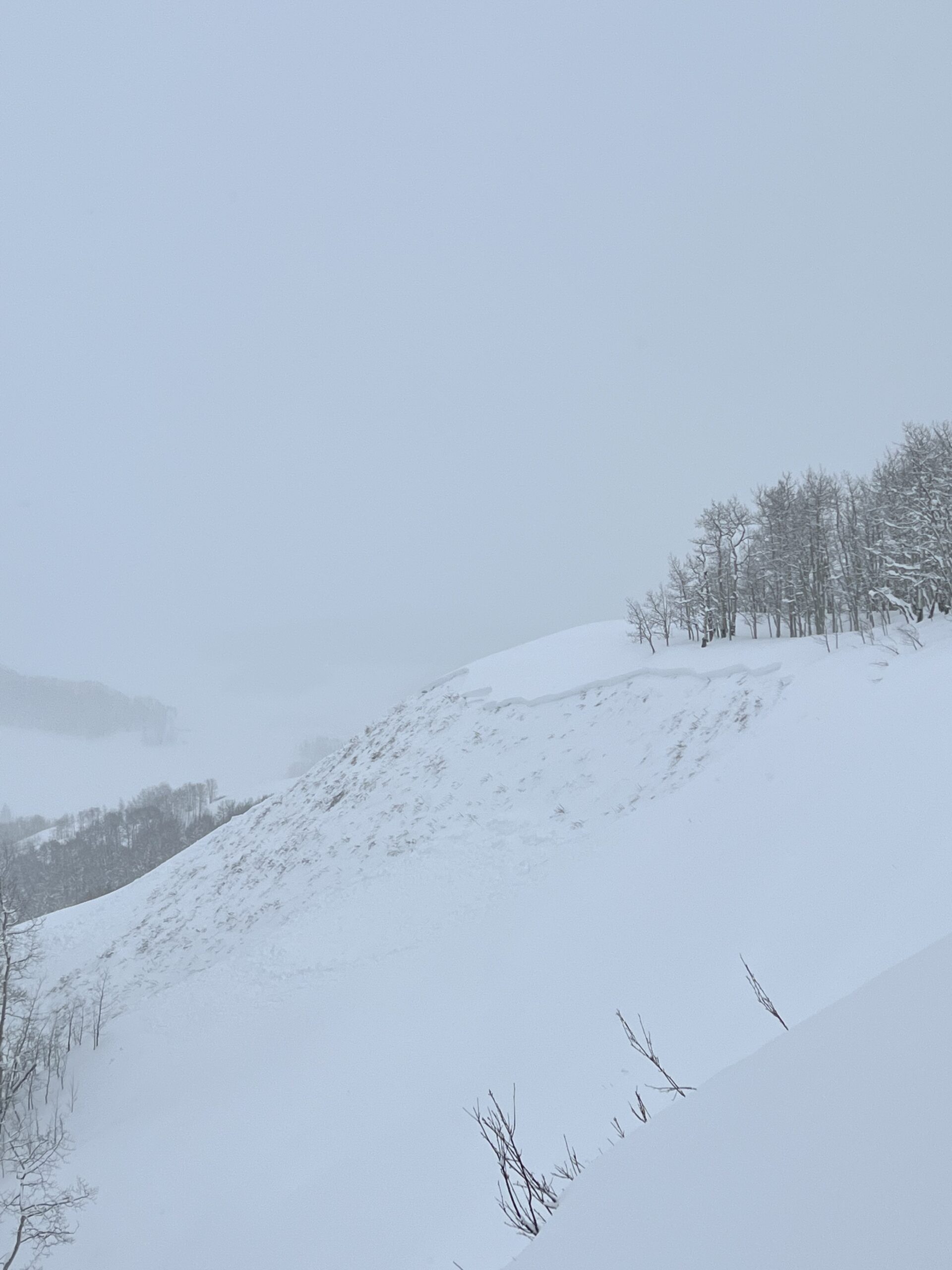
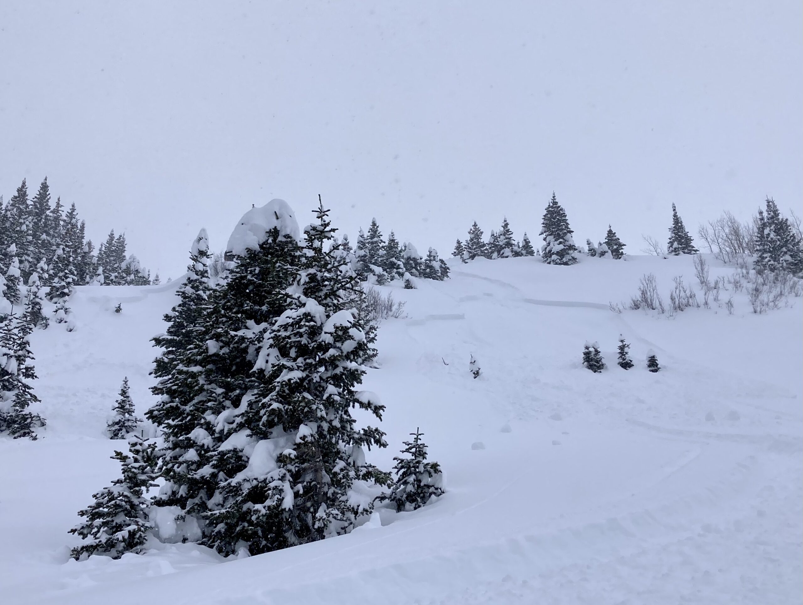
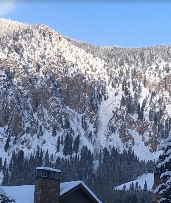
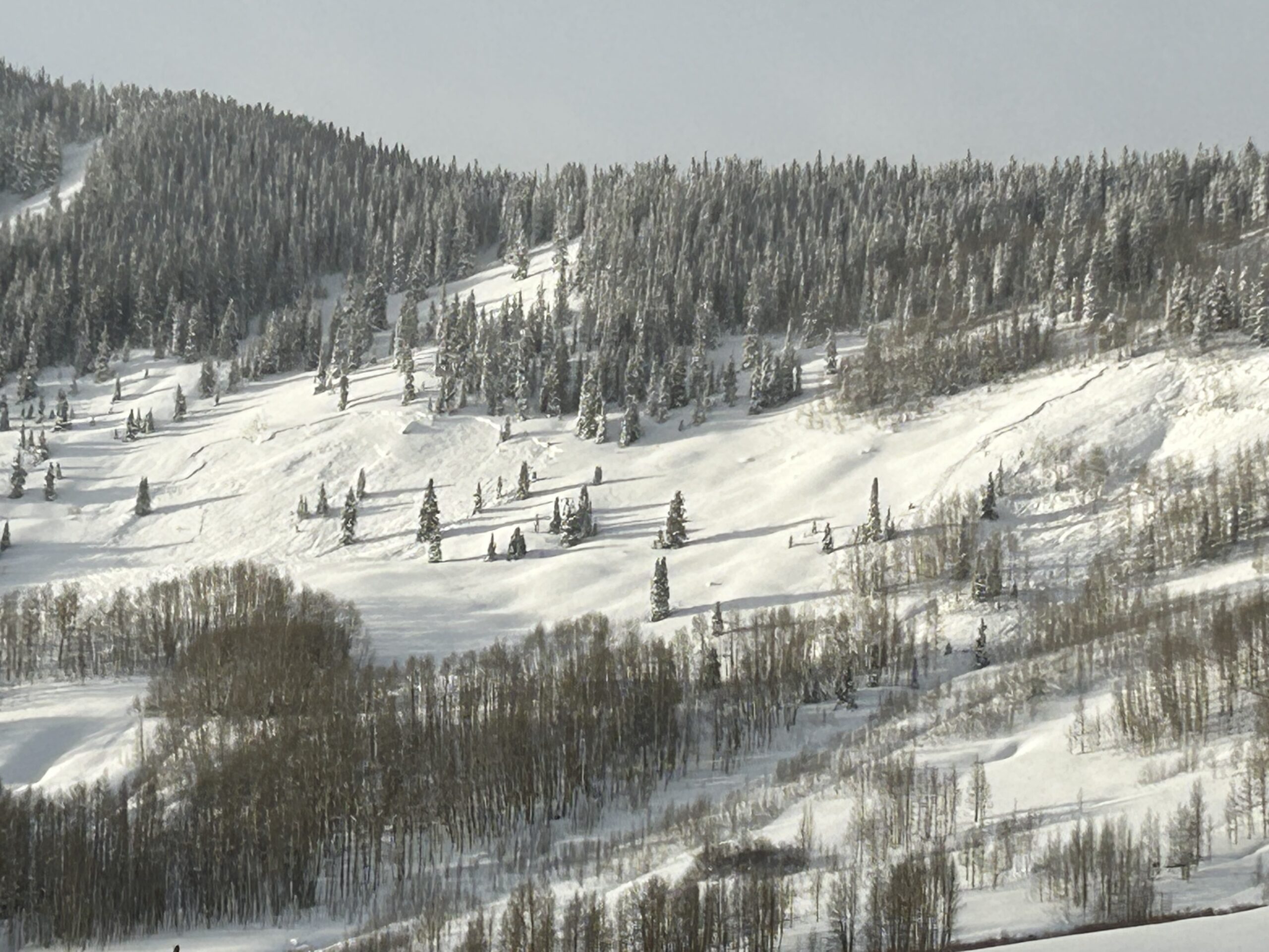
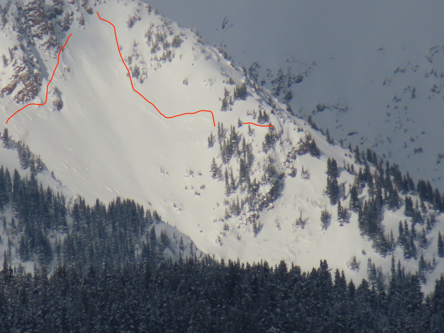
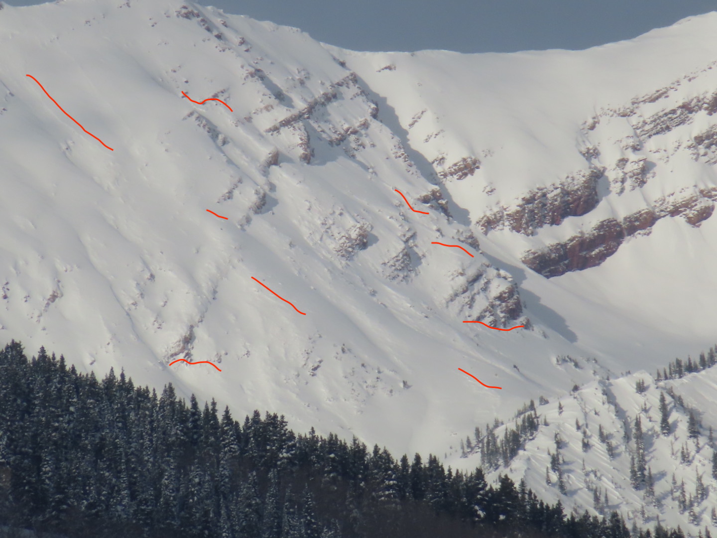
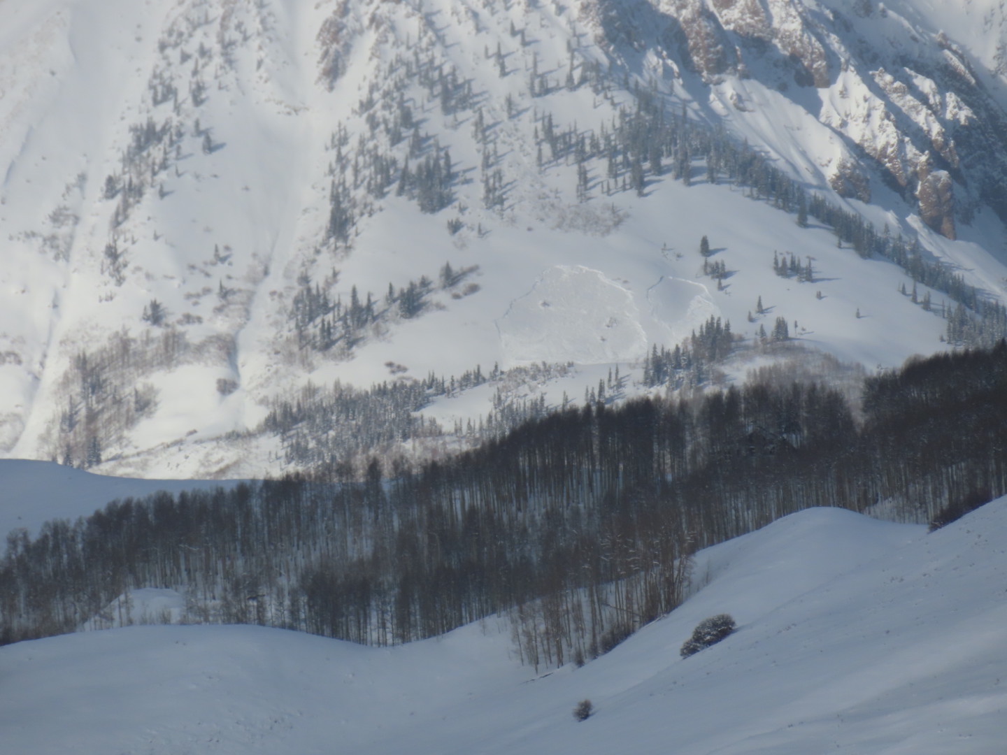
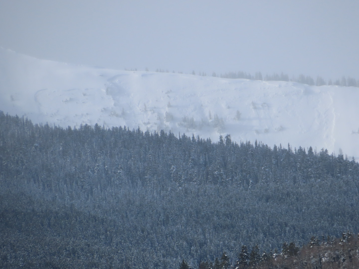
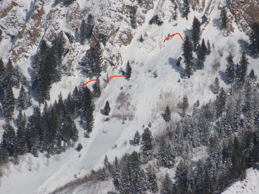
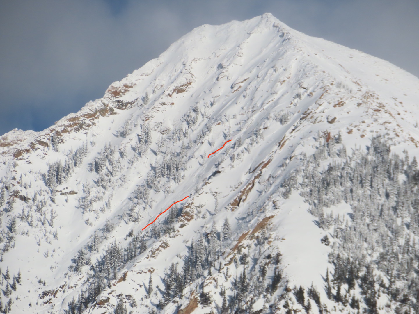
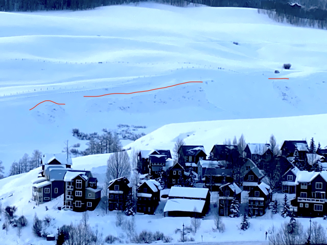
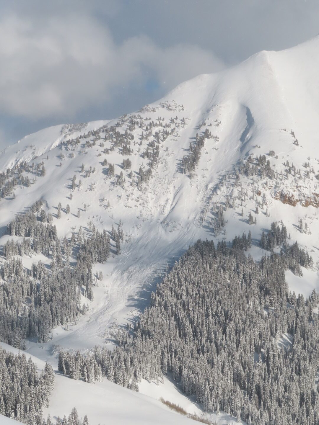
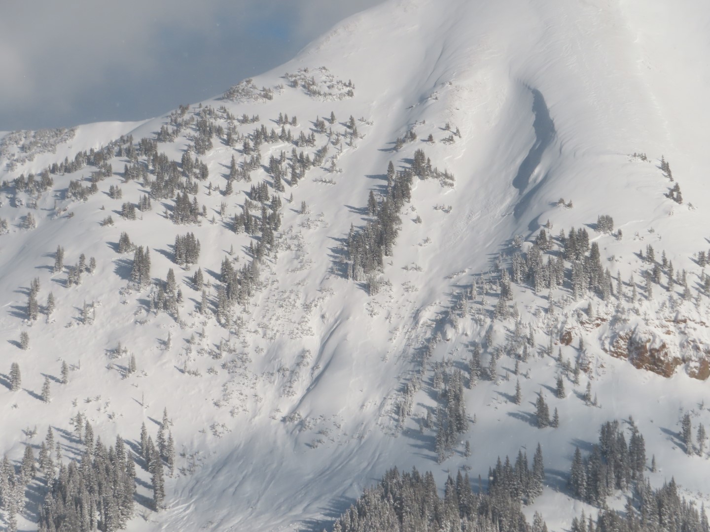
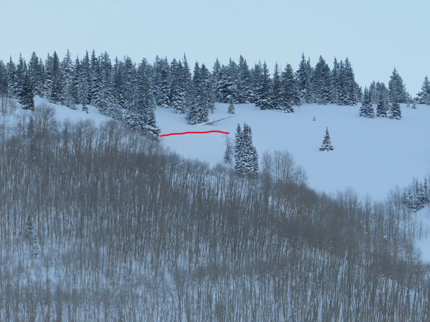
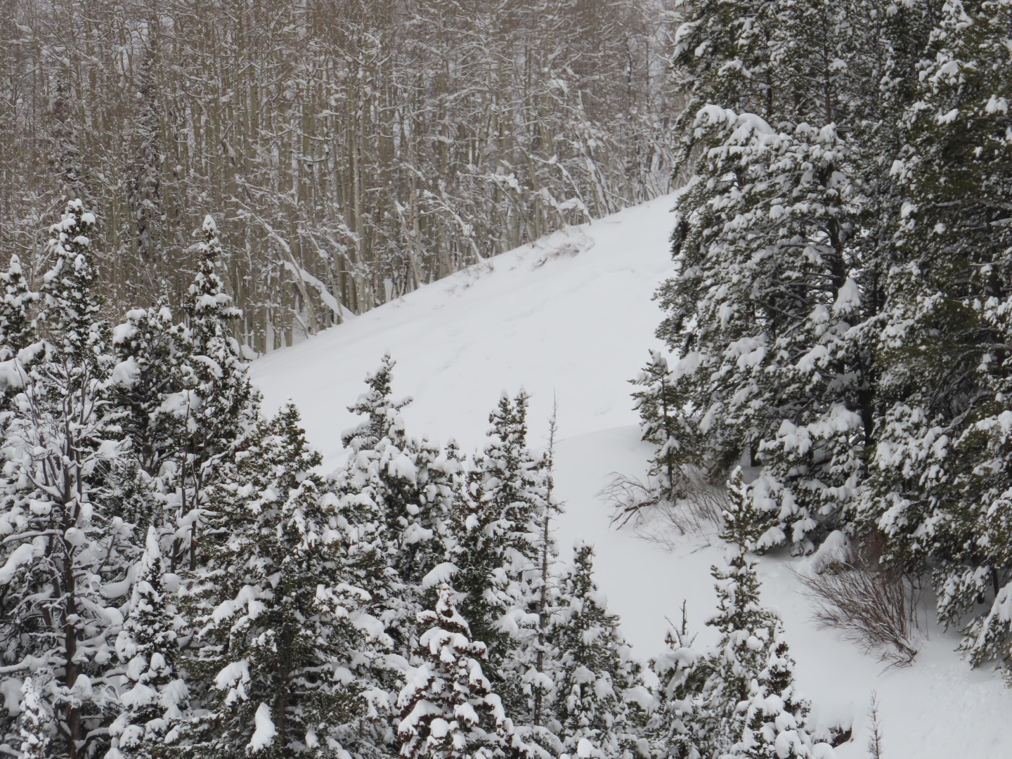
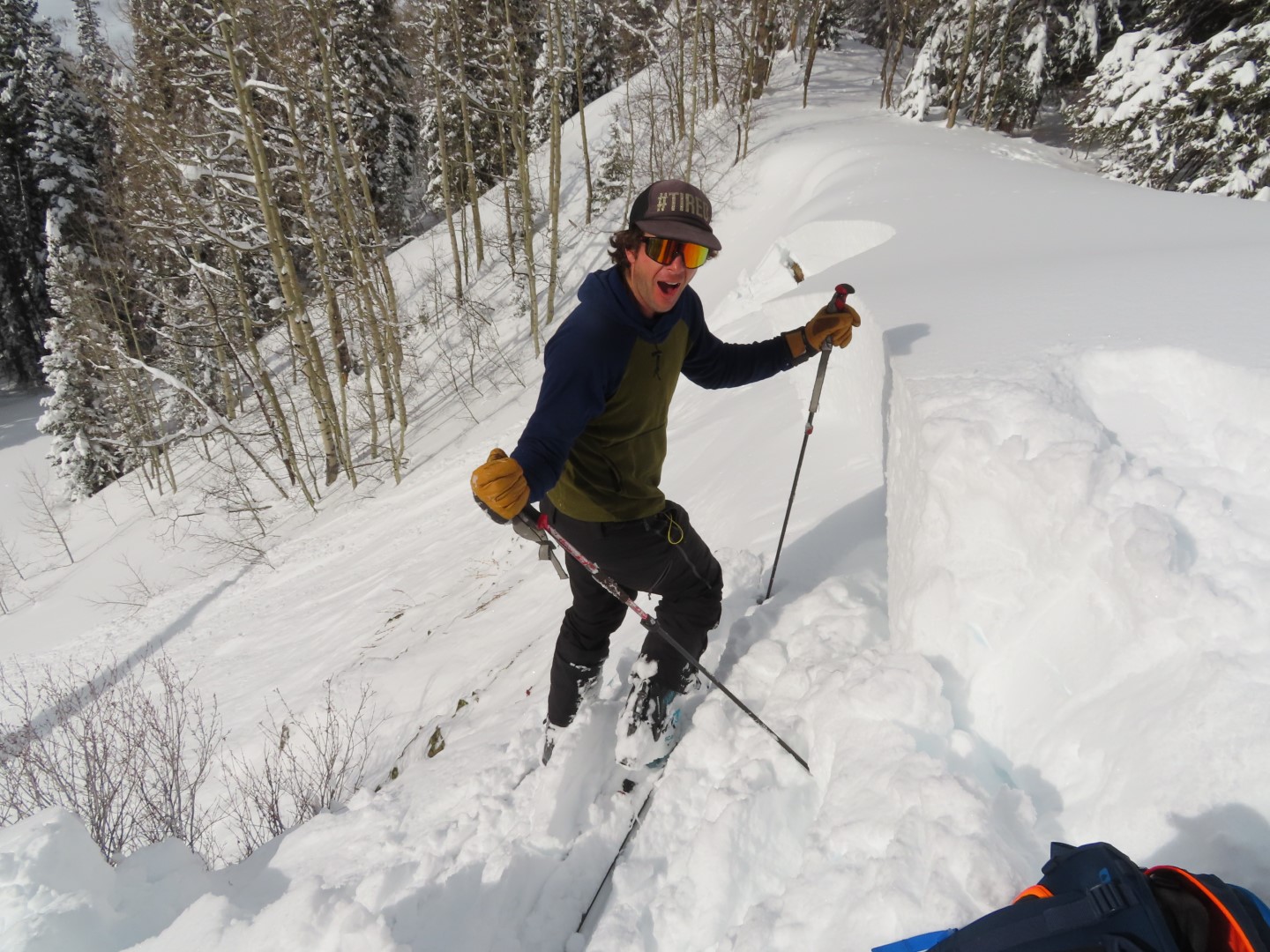
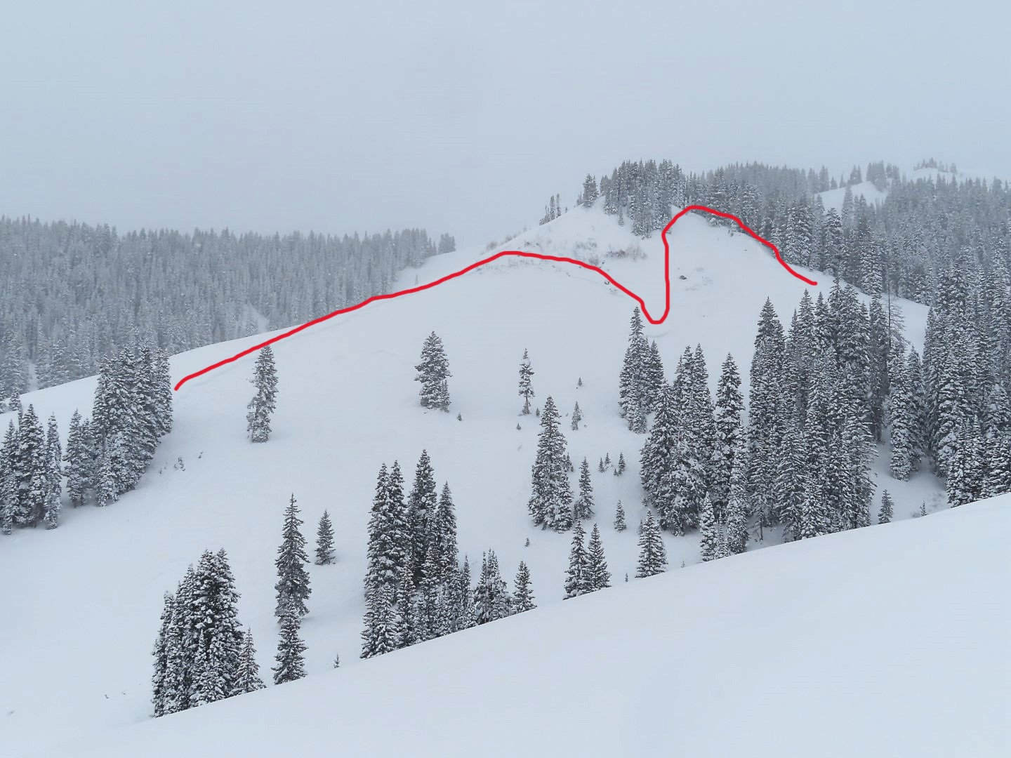
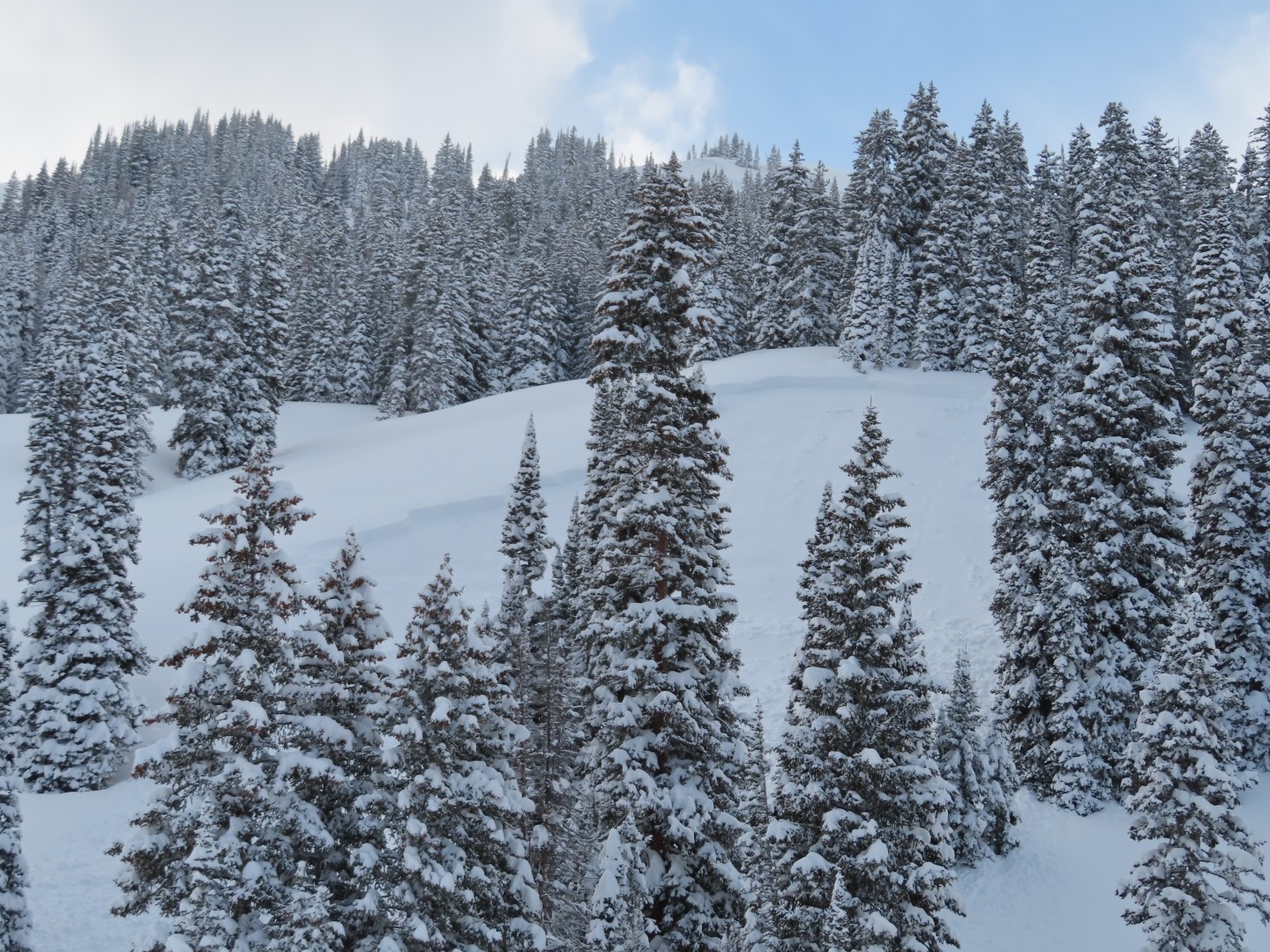
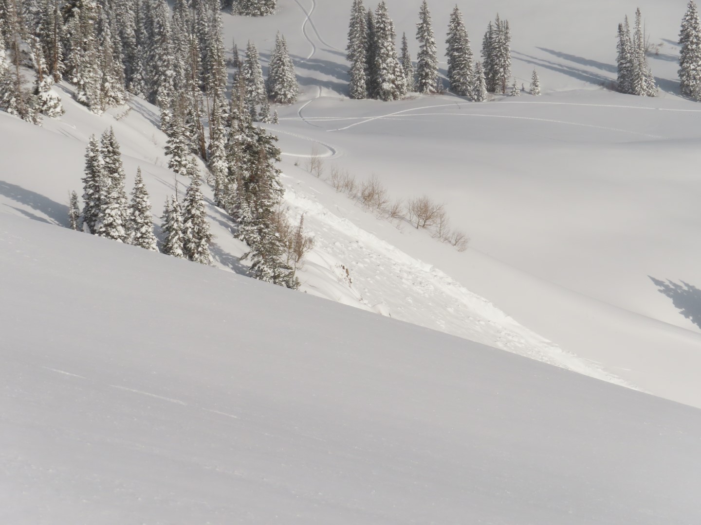
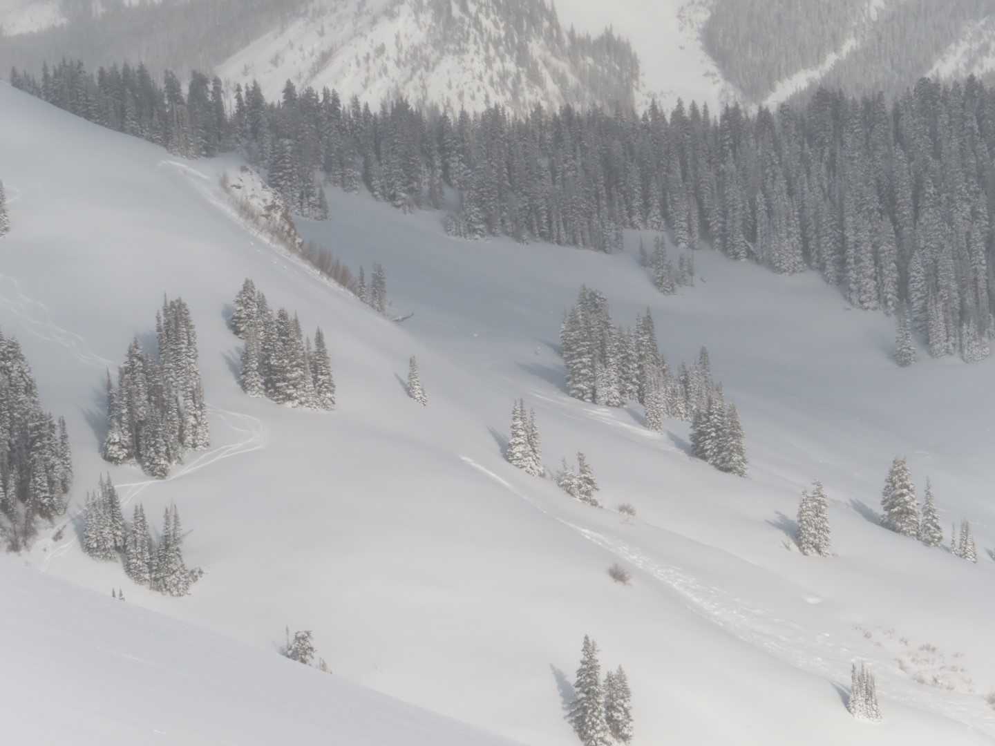
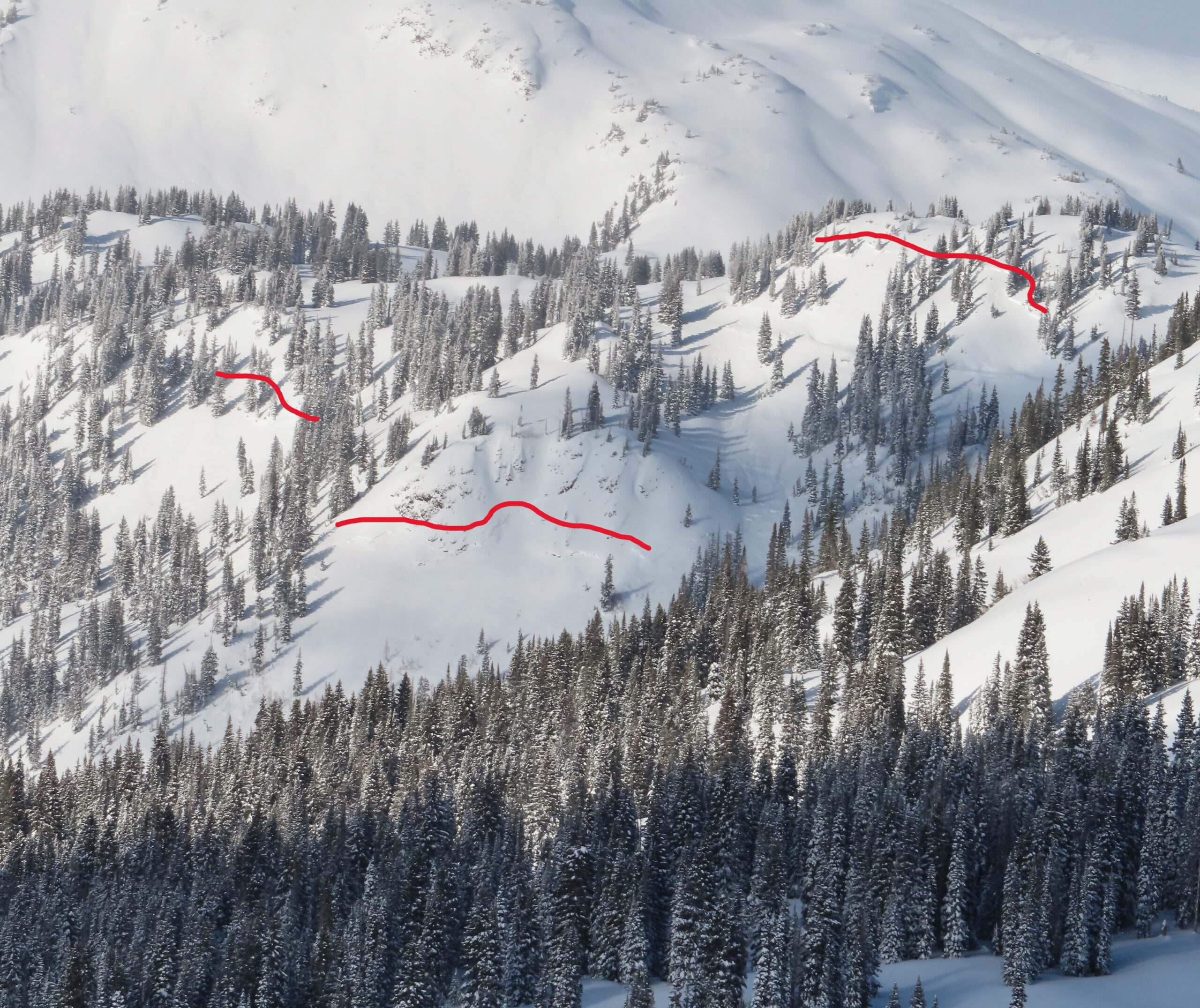
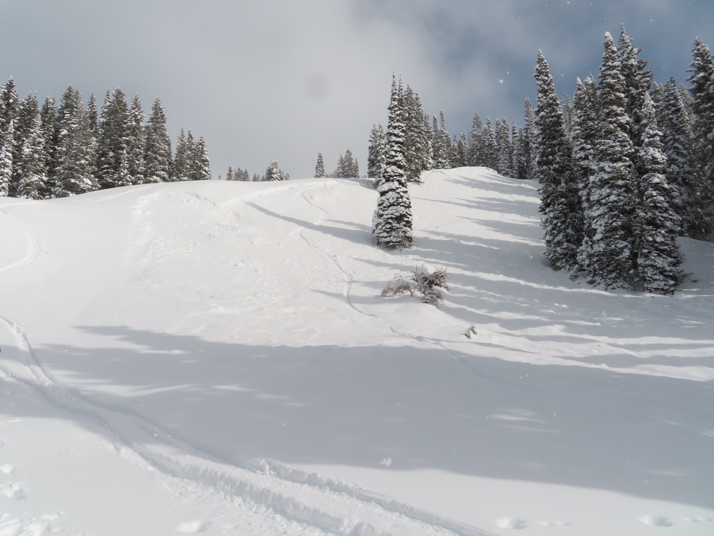
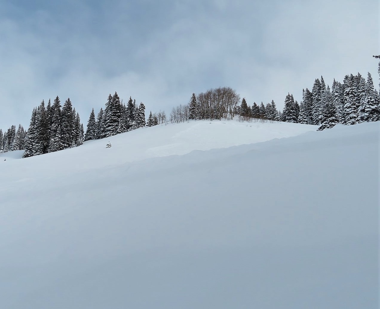
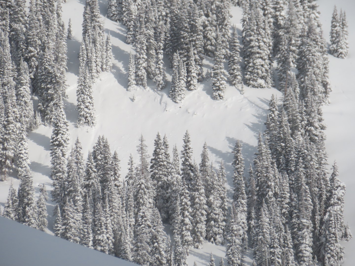
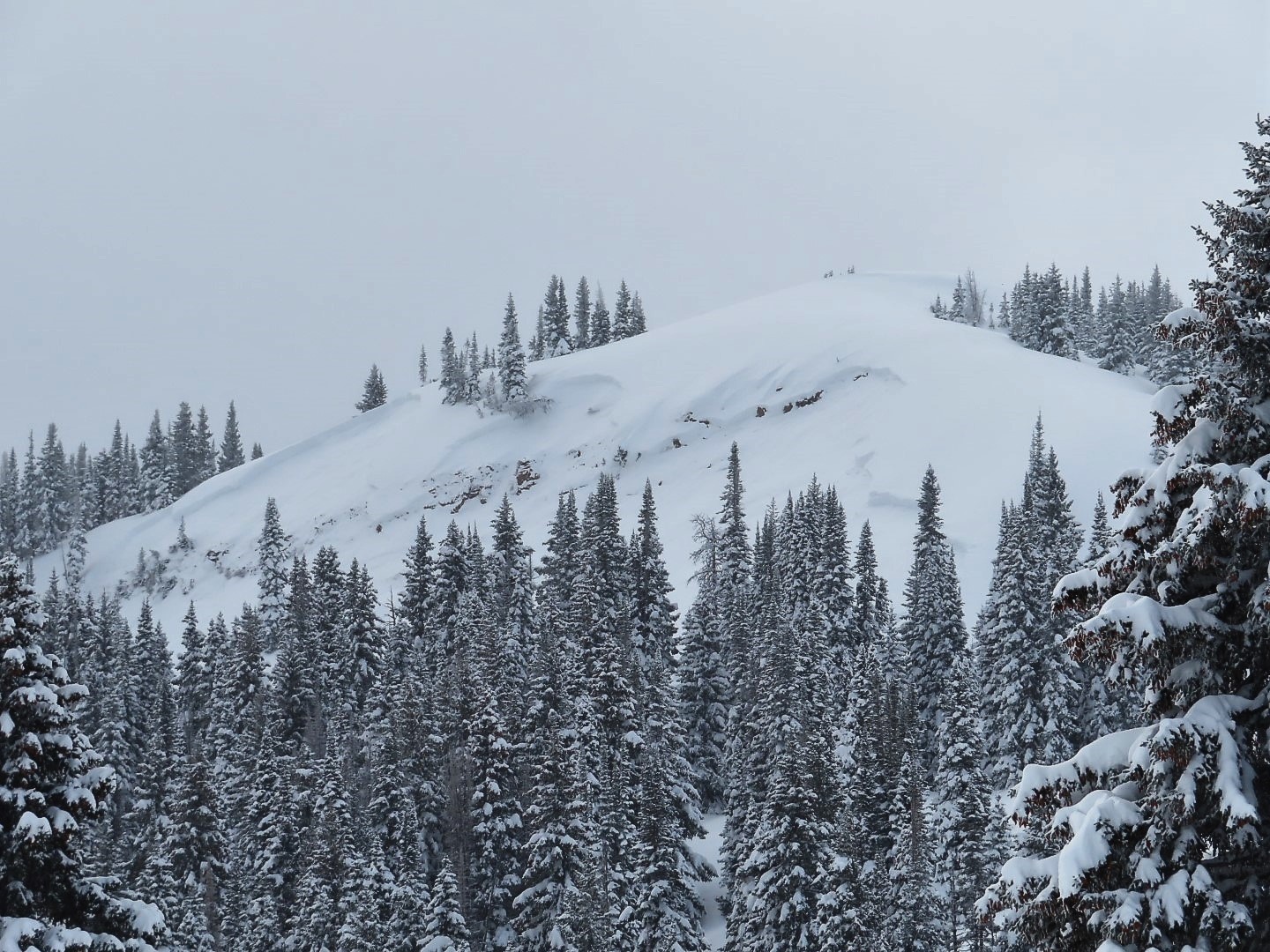
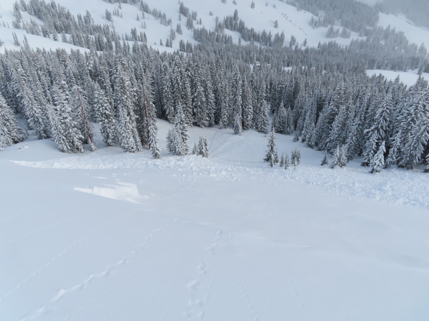
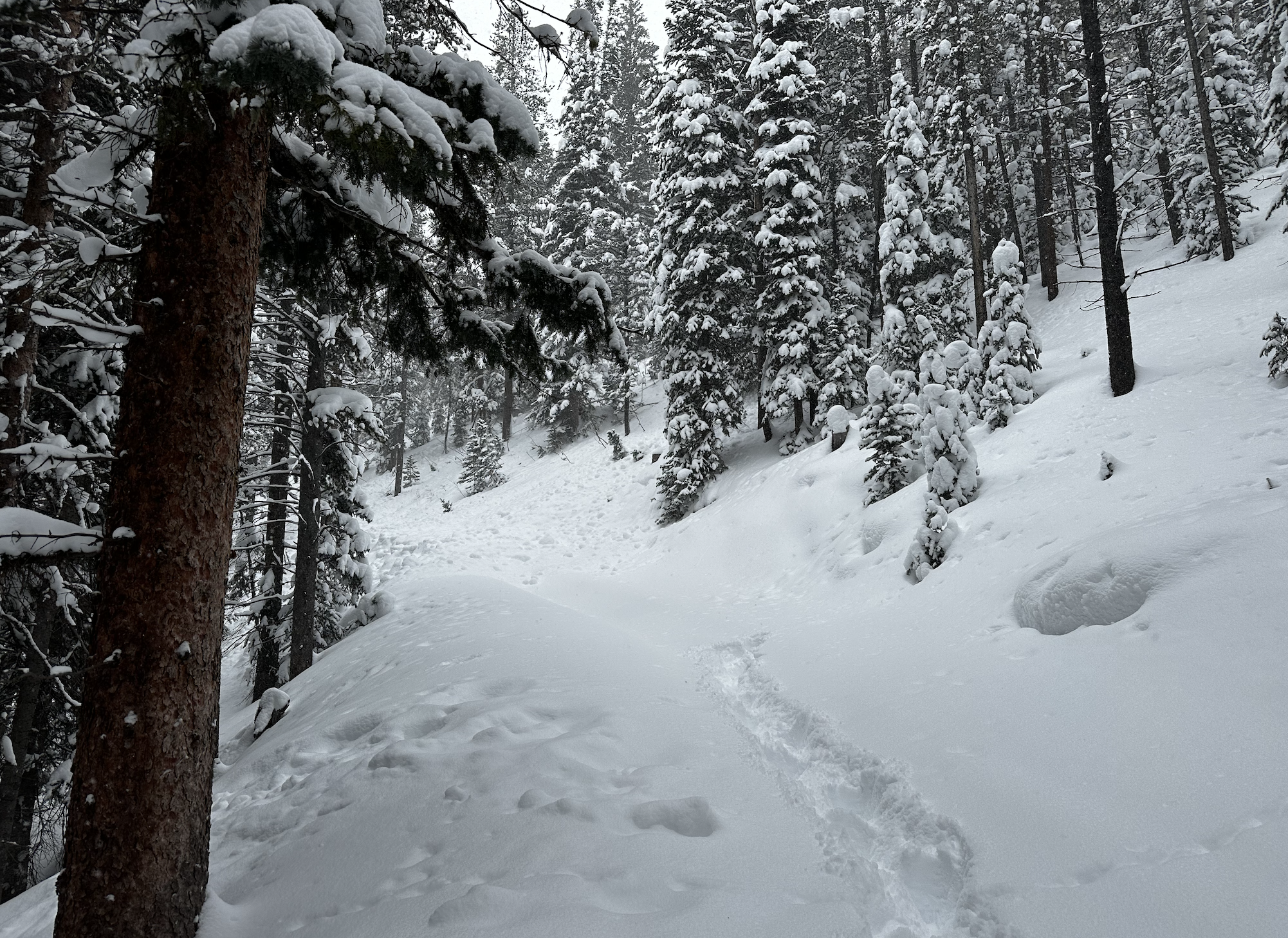
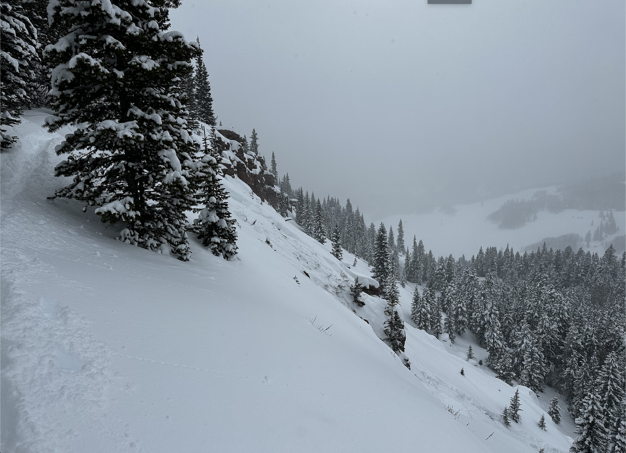
Avalanches: I observed a few recent small avalanches in lower Cement Creek near the Summer Home group parking area on north and east slopes. While snowmobiling up Reno Road, we came across a natural avalanche that piled debris on the Road from a west-facing slope. We remotely triggered a pair of avalanches open west-facing terrain that broke in very weak snow near the ground (this terrain likely sat very shallow from west winds earlier this winter). Sometimes we needed to hop or stab a ski through the slab to get a collapse…certainly not hard, but not effortless. We may have remotely triggered a small slope while snowmobiling at valley bottom on our way in and noticed it on the way out.
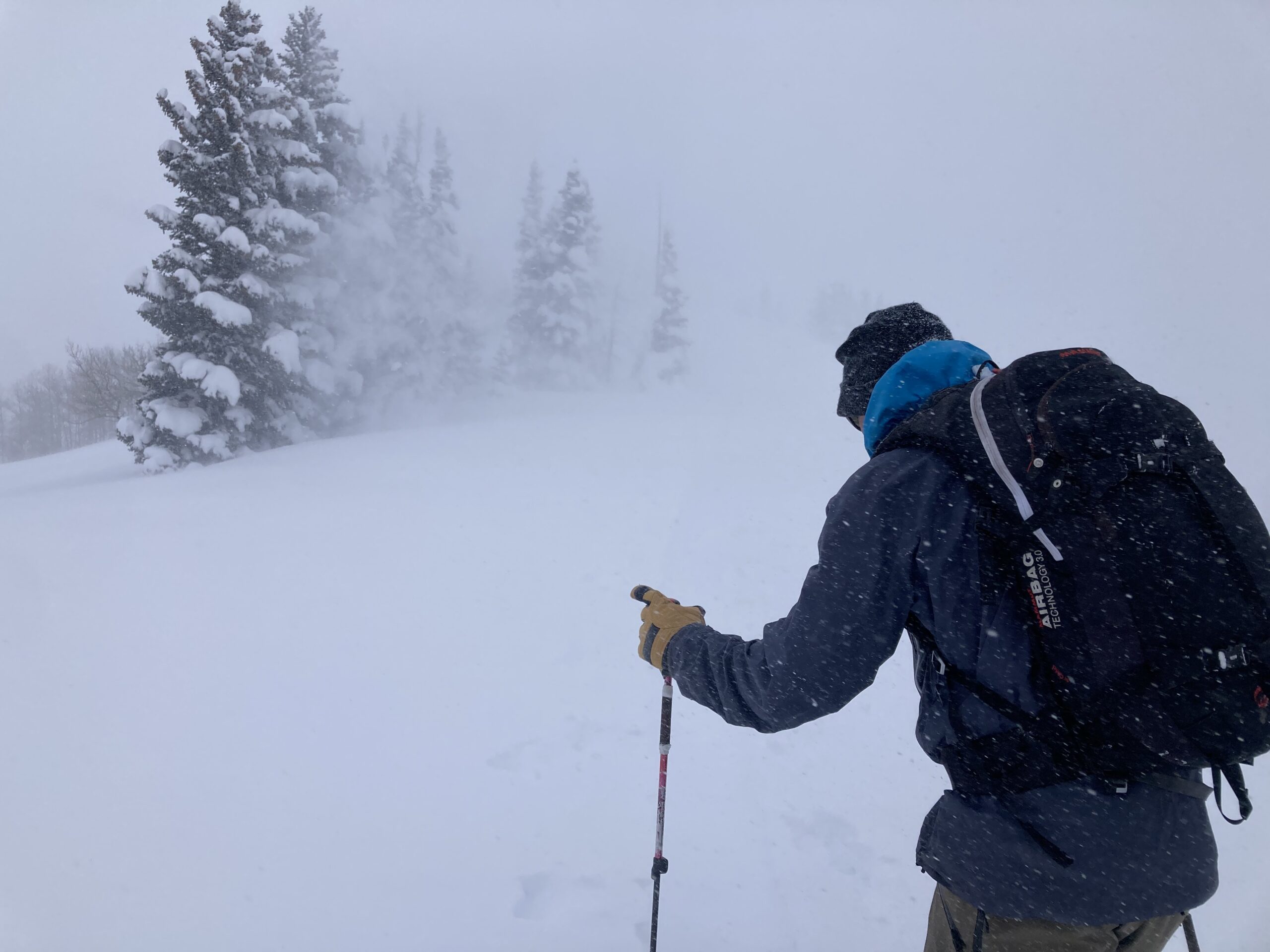
Weather: Overcast skis with mostly light snow with a few periods of moderate intensity around midday. Winds remained light, with a few exposed areas showing signs of recent wind effect.
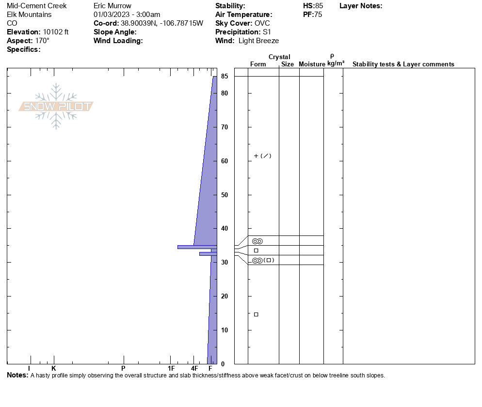
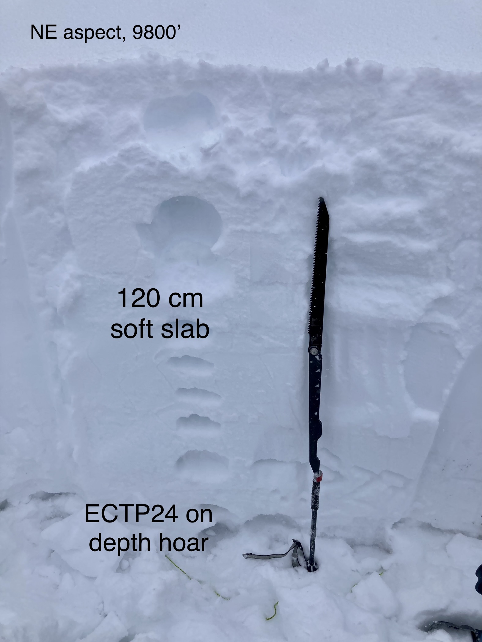
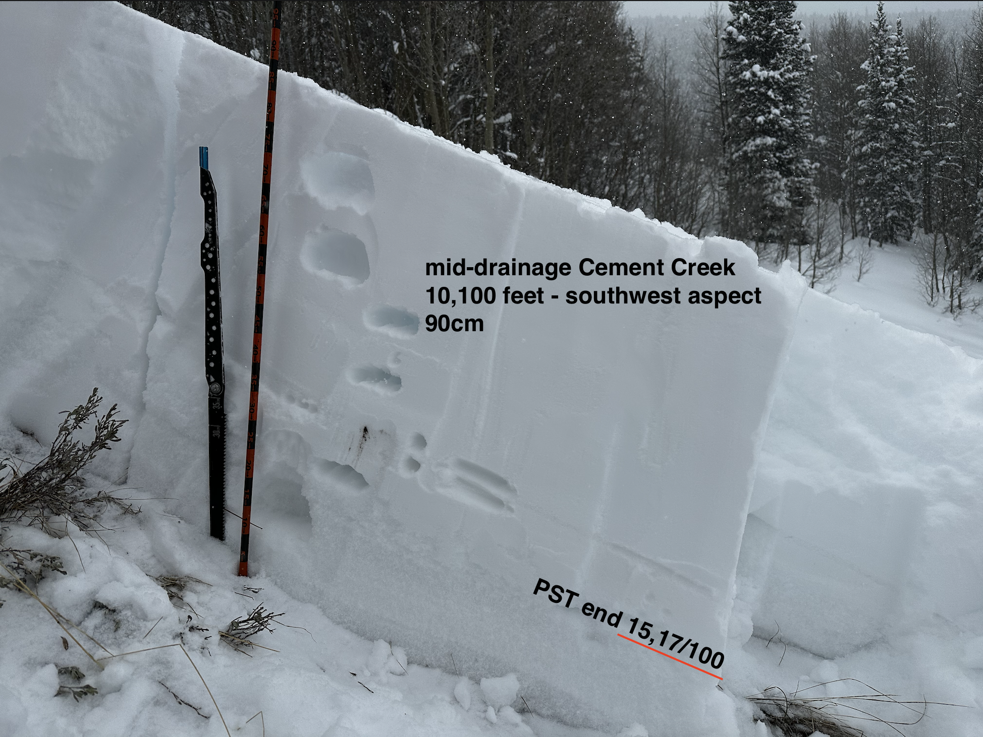
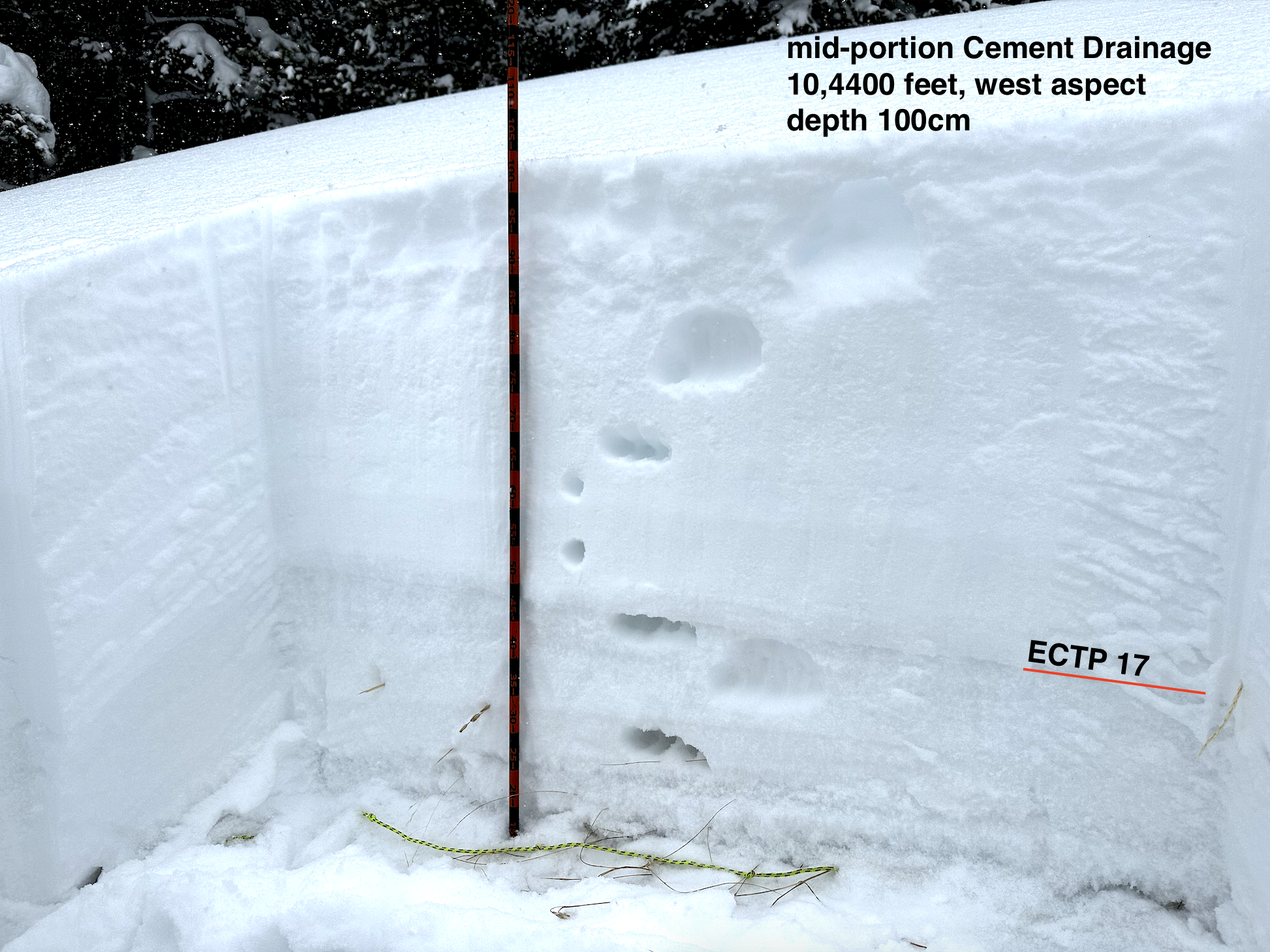
Snowpack: We mainly traveled on westerly aspects below treeline with depths ranging from 90 to 120cm depending on wind erosion earlier this winter. We experienced two large booming collapses and several moderate-sized collapses. I suspect many of the meadows we crossed previously collapsed during high-intensity snowfall on Sunday. The south half of the compass below treeline in this area has developed enough slab over the past week to overload weak facets and crust/facet combinations at the bottom of the snowpack. Collapsing, snowpack tests (see below), and remotely triggered avalanches all point to easy human triggering of avalanches below treeline.
-

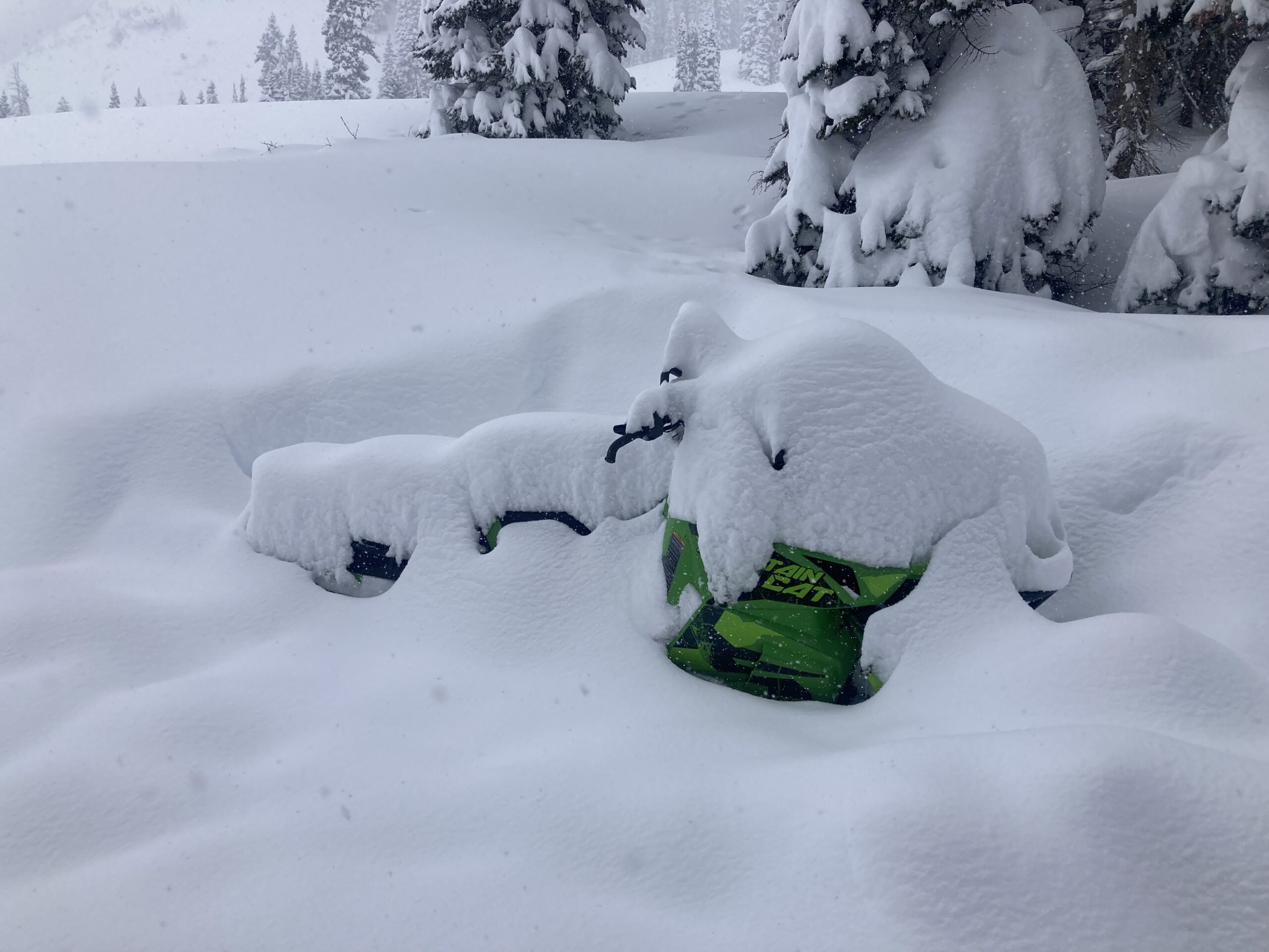
- A natural avalanche that piled up deep enough to bury a person on Reno Divide Road.
-

- Remotely triggered avalanches on west-facing slope below treeline. The second it hidden behind.
-
- Image of a test profile on a southwest slope, very poor structure and test results clearly indicate easy human triggering.
-

- Image of a test profile from a west-facing slope below treeline.
-

- A hasty profile of a south slope showing very weak crusts and facets beneath 2 feet of settled snow from recent storms.