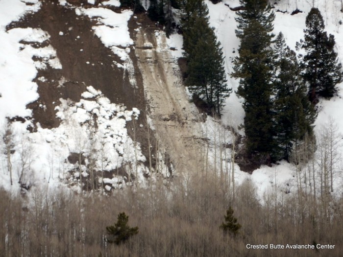
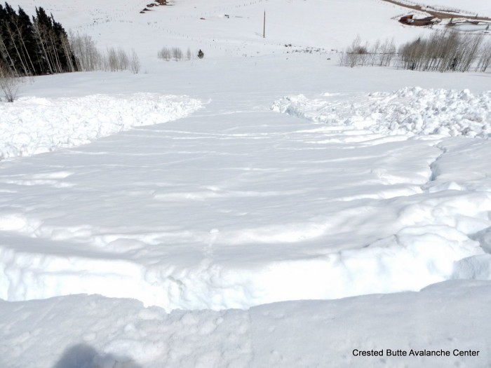
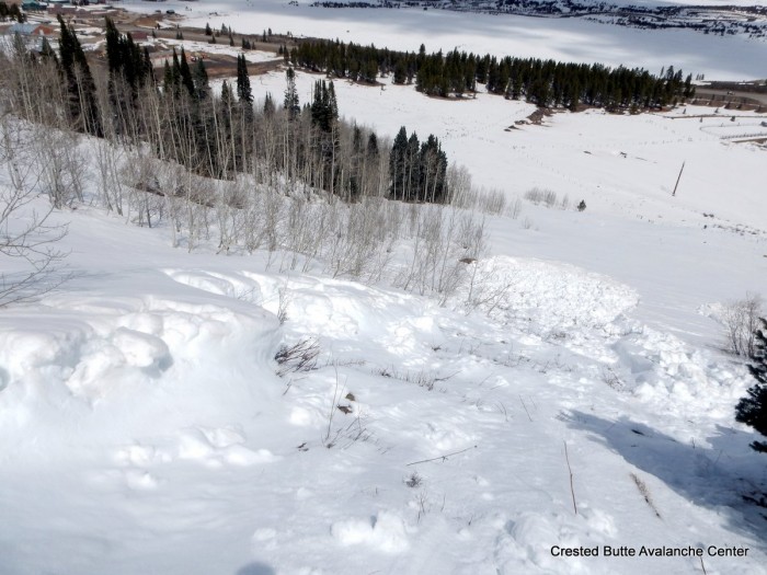
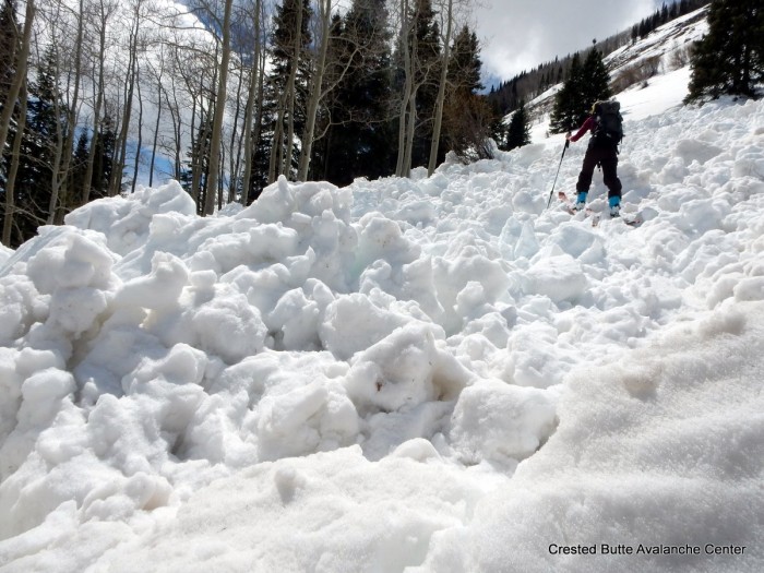
Mountain Weather

CB Avalanche CenterWeather

Date: 04/12/2016

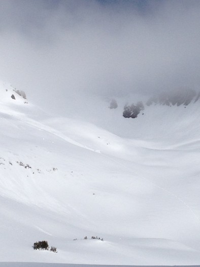
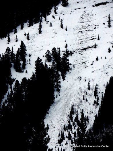
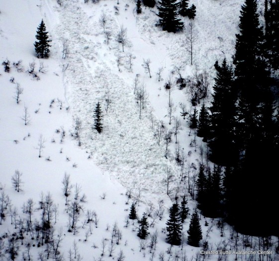
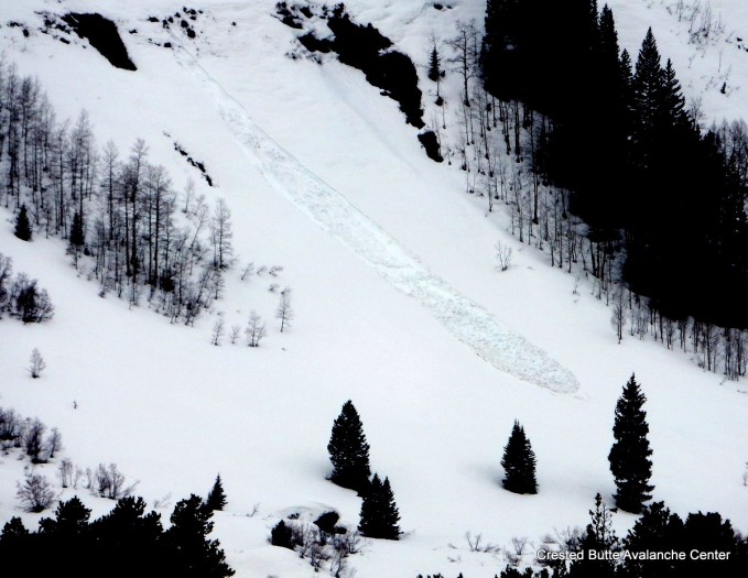
A low pressure over New Mexico and Arizona will continue pushing a little moisture into our area today. The sky will start out clear today, then throughout the day we’ll see a few clouds pop up over the mountains that may produce light snow showers at times. Dry conditions are on tap for Wednesday with high temperatures a few degrees warmer then Tuesday. Later this week, Thursday starts the next significant change in the weather. By Thursday afternoon we’ll see wind speeds increasing ahead of the next low pressure forecasted to track just to the south of Colorado. This Low pressure will be the next start for unsettled weather heading through the weekend.

Owen Cornice Fall

CB Avalanche Center2015-16 Observations

Location: Kebler Pass Area
Date of Observation: 04/11/2016
Name: dustin E.
Subject: Owen Cornice Fall
Aspect: North, North East, East
Elevation: 11,000-13,000

Avalanches: Saw a cornice that had fallen, likely the previous day, or early that morning, from near the summit of Mount Owen. The cornice dropped just to the lookers left of the prominent subridge coming down the center of the NE face on Owen. Looked as though the cornice popped out a slab and gouged to the ground in some areas. One block had fallen all of the way to the bottom of the bowl separating Owen and Purple. Still lots of overhanging cornices left up on the Owen ridge. Lots of wet loose activity within the new snow.
Weather: Warm and partly to mostly cloudy with clouds hanging on Owen and Purple till around noon.
Snowpack: Firm snow surface on alll aspects (firmer on solar aspects) with some shaded areas holding onto 5-6 inches of windblown snow from the past couple days.

owen

Mountain Weather

CB Avalanche CenterWeather

Date: 04/11/2016

Similar weather as the last couple of days is on tap for today. A weak closed low near Baja is spinning warm moisture into Colorado. Afternoon convection will bring another chance for light rain and snow this afternoon, with potential for localized heavier pulses. More of the same tomorrow as the low tracks east across Arizona. On Thursday a trough descends from the northwest, closes off, and stalls near Colorado. This looks like it will bring a prolonged period of cloudy and showery weather through the weekend.

Wet cycle below treeline on north half of compass

CB Avalanche Center2015-16 Observations

Location: Crested Butte Area
Date of Observation: 04/10/2016
Name: Zach Guy
Subject: Wet cycle below treeline on north half of compass
Aspect: North East, East, North West
Elevation: 9,000-10,000 ft

Avalanches: See video and photos. Evidence of natural wet cycle below treeline in the past 24 hours or so along hwy 135/Slate River Road corridor. About a dozen wet loose slides on NE aspects, one on NW and one on E, ranging from D1 to D2 in size, and about half of them gouging to the ground. 3 wet slabs on NE aspects below treeline, D1.5 to D2 in size, failing at the ground.
Weather: Warm, scattered clouds, no precip, calm winds
Snowpack: 2″ refreeze over an unconsolidated wet snowpack. Ski pen and boot pen quickly became knee to waist deep. One pit on NE aspect showed fist hard wet/very wet grains throughout, with free water pooling at the March 6th dust/interface about a foot deep in this location.  2 collapses in flat terrain

NE aspect BTL, Happy Chutes

NE aspect BTL, Happy Chutes

NE aspect BTL. Happy Chutes.

NE aspect BTL. Happy Chutes.

NE aspect BTL. Happy Chutes

NE aspect BTL. Happy Chutes

NE aspect BTL. Whetstone.

NE aspect BTL. Whetstone.

Cracking snow between debris piles

Cracking snow between debris piles

Looking downhill at wet loose debris pile

Looking downhill at wet loose debris pile

D2 debris pile below wet slab on Gibson Ridge

D2 debris pile below wet slab on Gibson Ridge

East aspect BTL. Gibson Ridge

East aspect BTL. Gibson Ridge

NE aspect BTL. Whetstone

NE aspect BTL. Whetstone

NW aspect BTL. Round Mtn.

NW aspect BTL. Round Mtn.

NE aspect BTL

NE aspect BTL

Wet loose and wet slab. NE aspect BTL on Whetstone

Wet loose and wet slab. NE aspect BTL on Whetstone

Wet loose and wet slab, Gibson Ridge. NE aspect BTL

Wet loose and wet slab, Gibson Ridge. NE aspect BTL

4/10. Wet slab, Gibson Ridge. NE aspect BTL

4/10. Wet slab, Gibson Ridge. NE aspect BTL

Wet snow obs

CB Avalanche Center2015-16 Observations

Location: Kebler Pass Area
Date of Observation: 04/10/2016
Name: EM
Subject: Wet snow obs
Aspect: North, North East, East
Elevation: 10000 -11500

Avalanches: Several minor point releases on east and north aspects. Nothing gauged in to older snow, limited to new snow only.
Weather: In the morning cloud cover was in and out. The sun was out for much of the morning. New snow accumulations at 11500 were 10cm. Air temps were warm, just above freezing, causing snow on north facing slopes to become slightly moist even in shade by noon.
Snowpack: 10 cms of new snow over the weekend. In one location at 11500,NNE facing, 33* slope had free water make it 30 cm down from surface. At 30 cms it refroze in to an ice lens. It was still approximately 20cm above our most recent dust layer.

Ski conditions were supportive through noon with minor loose and roller activity on north aspects. East facing terrain at noon had lost its support and was very wet.

Mountain Weather

CB Avalanche CenterWeather

Date: 04/10/2016

A closed low over Southern California is spinning warm, moist air into Colorado. The weak shortwave that brought some snow flurries early this morning will exit to our northeast, bringing some patches of sun and warming temperatures. Daytime convection will spur another round of light precipitation this afternoon and evening, falling as snow at higher elevations. Tomorrow is an in-between day, as another low tracks our way from the Pacific. There will e enough lingering moisture for cloud cover a spotty showers again.

Mountain Weather

CB Avalanche CenterWeather

Date: 4/9/16

A weak wave under southwest flow brought a mix of snow flurries and very light valley rain last night. Residual moisture in it’s wake will keep weather unsettled today, with the chance for some snow showers at higher elevations in the afternoon driven by daytime convection. A closed low treks south of us on Sunday, pumping additional moisture and similar instability on Sunday. This pattern continues into early next week.

PM wet snow obs

CB Avalanche Center2015-16 Observations

Location: Kebler Pass Area
Date of Observation: 04/08/2016
Name: Zach Guy
Subject: PM wet snow obs
Aspect: North East, East, South East, South
Elevation: 11,000-12,600 ft

Avalanches: None.
Weather: Warm temps, calm winds, scattered to broken clouds, no precip.
Snowpack: In the afternoon, boot pen into wet grains was shin to knee deep on low angle slopes near treeline, but wet loose problem appears to be becoming unreactive. No rollerballs on steep, slushy slopes facing E, S, SE. Hand pits on NE aspect ATL showed water had reached 2-5″ deep. Surfaces were beginning to slightly refreeze at sunset.

Mountain Weather

CB Avalanche CenterWeather

Date: 04/08/2016

Clear, warm and dry weather will continue today, before clouds start increasing this afternoon. Increased moisture will be pushed into are area this evening from the southwest. We have the chance for some snow tonight but nothing substantial. Tomorrow there will be periods of snow at higher elevations and possibly some light rain in the valleys. Unsettled weather continues into next week with small chances of perspiration and the sun breaking out at times.