Location: Crested Butte Area
Date of Observation: 12/18/2016
Name: Tim Brown
Subject: AIARE 2
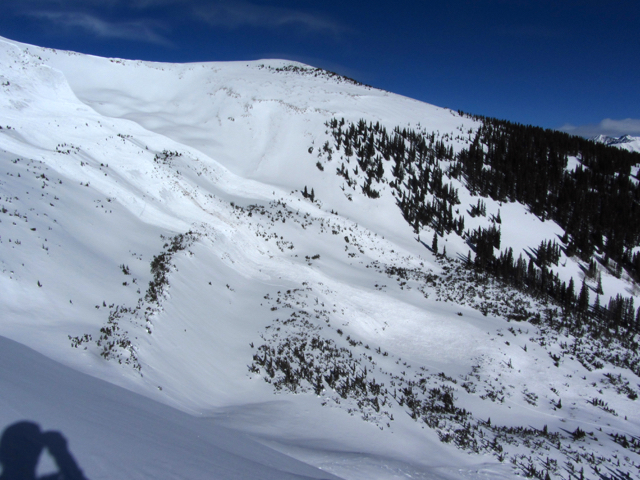
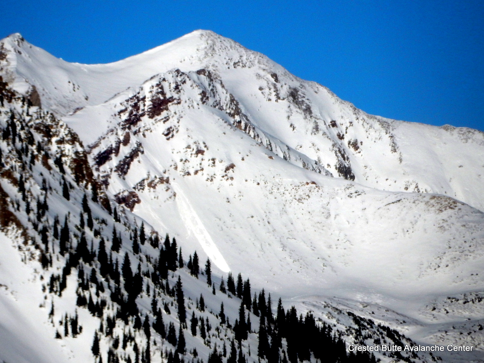
Aspect: South East
Elevation: 9,200-11,000
Avalanches:
Weather: Cold! -11*C (12*F) @ 11,000′ ~ 2pm, Winds L, variable in glades with MOD blowing snow at ridge top.
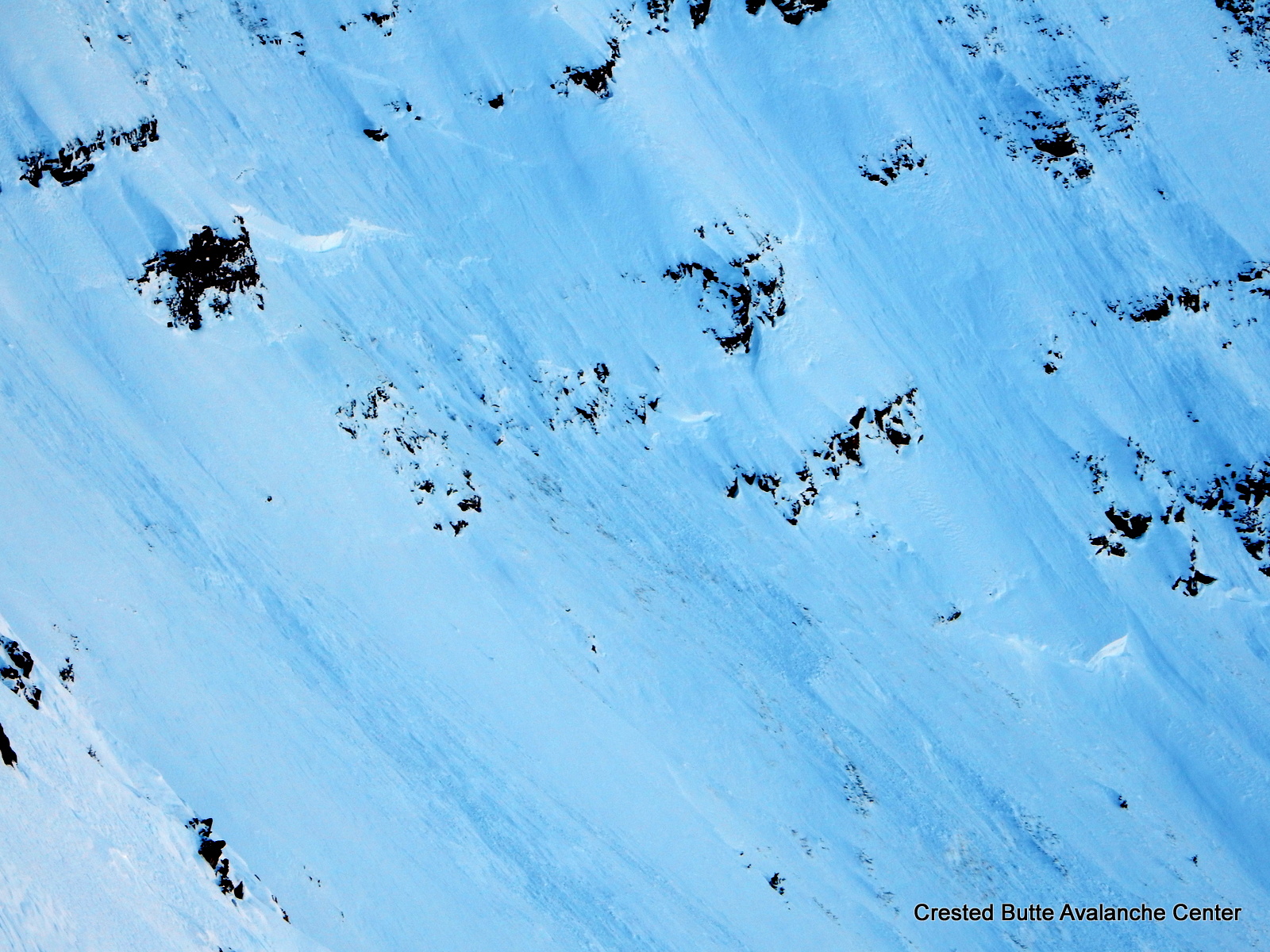
Snowpack: Did not observe any avalanches (until we got back to town and saw the large avalanche in Red Lady Bowl).
No cracking, but our team produced 2 moderate collapses (~100′) in open meadows on SE aspects ~10,500′ and higher. No results from stomping on several test slopes. HS 90-120cm, HST 65-90cm
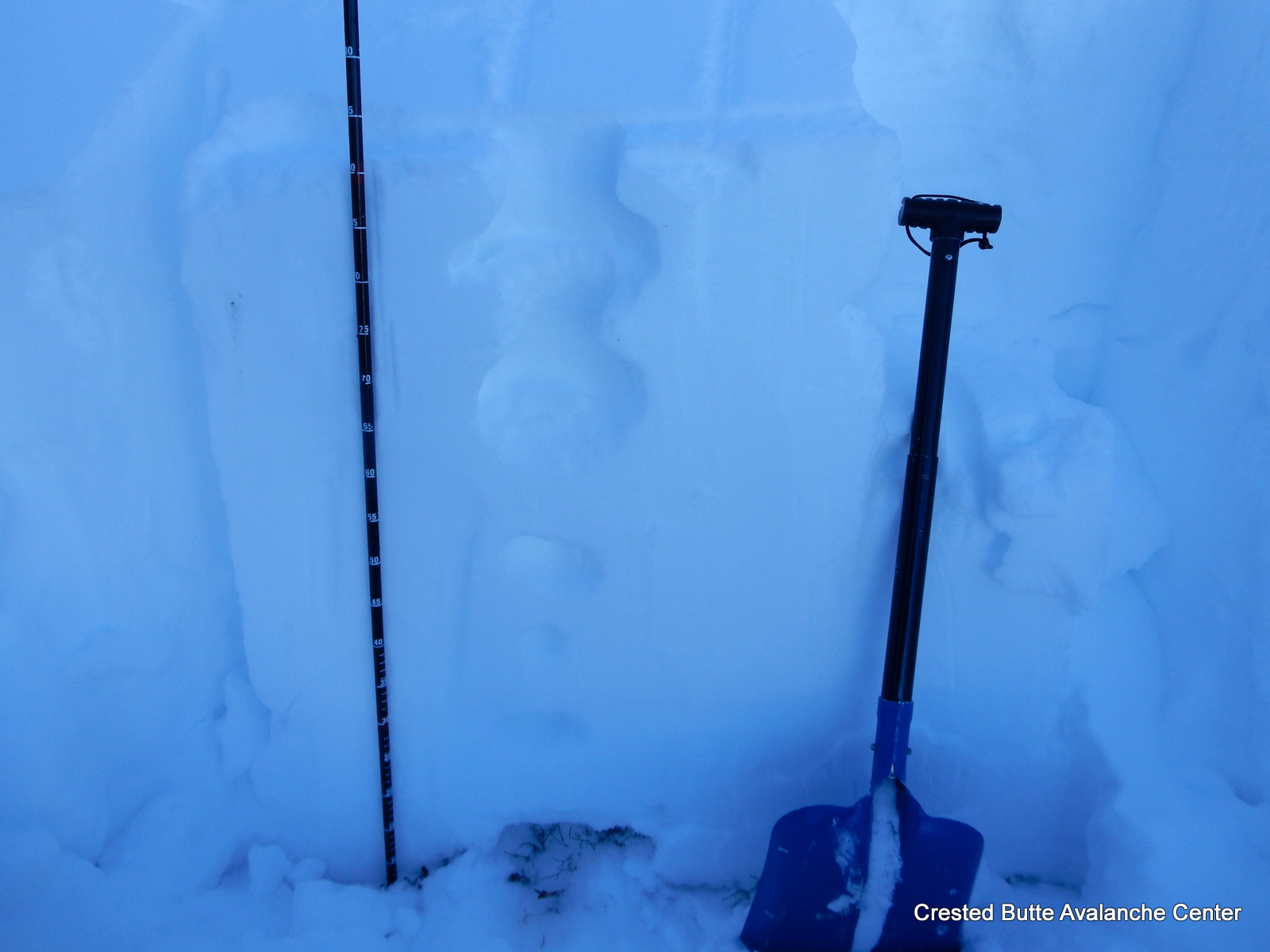
We dug a snow profile on a 15* slope on a SE-facing meadow at 10,800′ with HS 105cm, PF 40cm and PS 15cm to see how the snowpack was reacting to the massive new load:
Persistent slabs still problematic, especially in shallow areas: We were not able to initiate fractures by tapping on small and large columns with the full load on them (CTN and ECTX), but the snowpack showed potential for propagation when closely investigated with other snowpack tests. DTM SC and PST (End) 35/100 down 90cm on 1mm facets. Spooky!
Storms instabilities appear to be healing: we found 2 interfaces within the fist hard storm snow (2mm stellars down 25cm and 2mm graupel down 35cm), but no sudden results in CTs or positive results from ECTs.
Probing showed that the persistent slab structure is widespread in this area, but we found fast and soft skiing on low angle slopes no steeper than 30 degrees without incident.