Date of Observation: 01/31/2023
Name: Eric Murrow
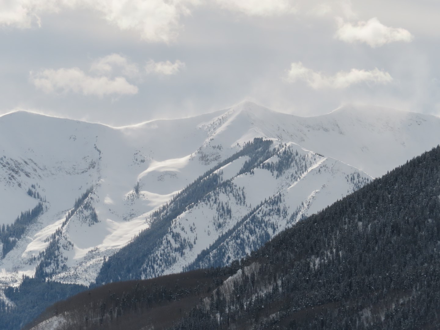
Zone: Northwest Mountains
Route Description: Washington Gulch Road to southern end of Mount Baldy.
Observed avalanche activity: Yes
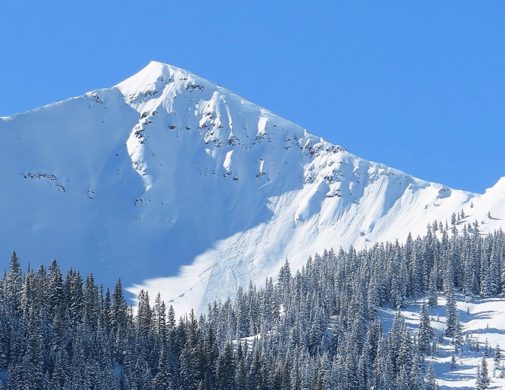
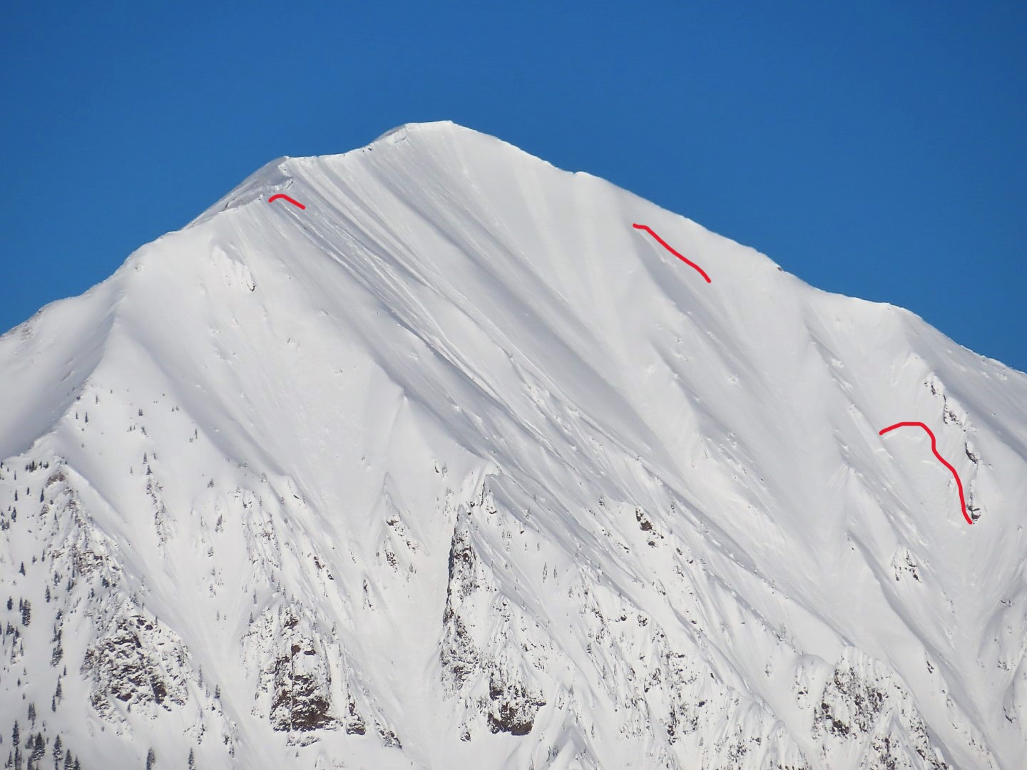
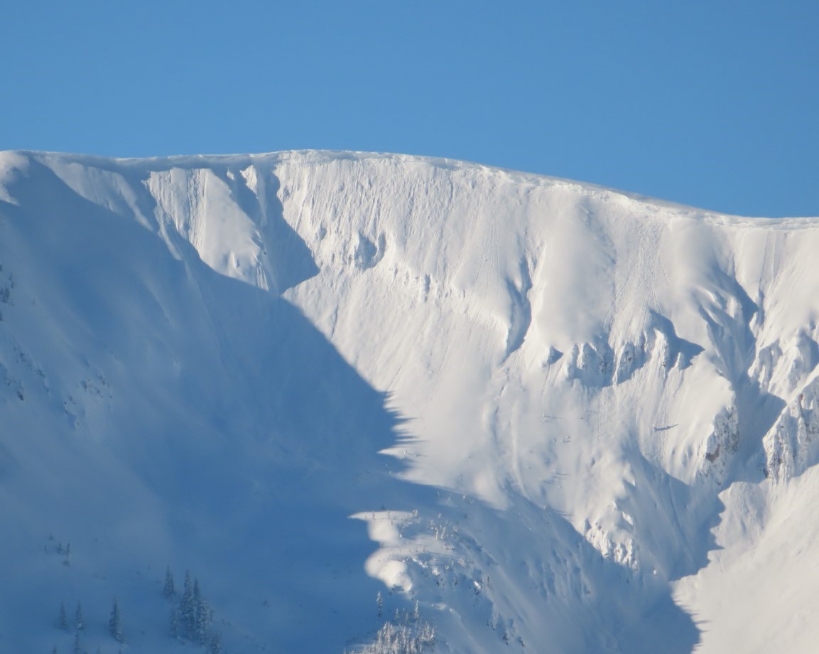
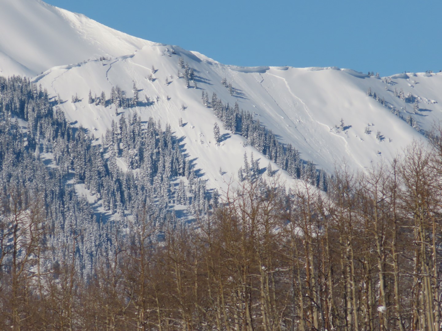
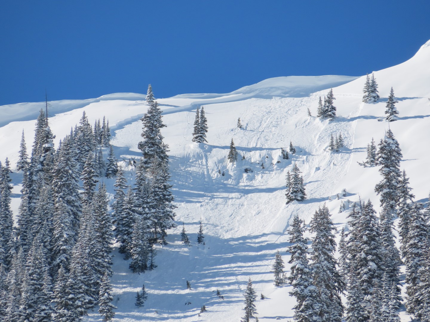
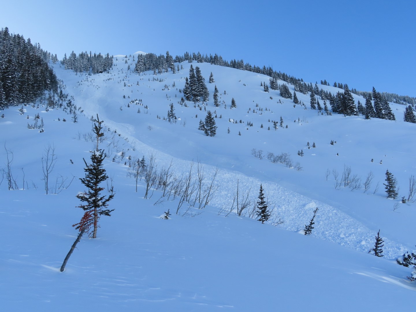
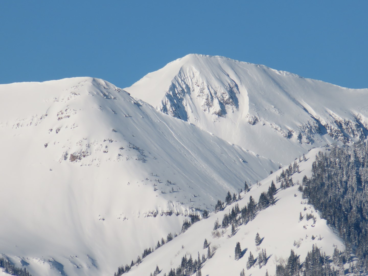
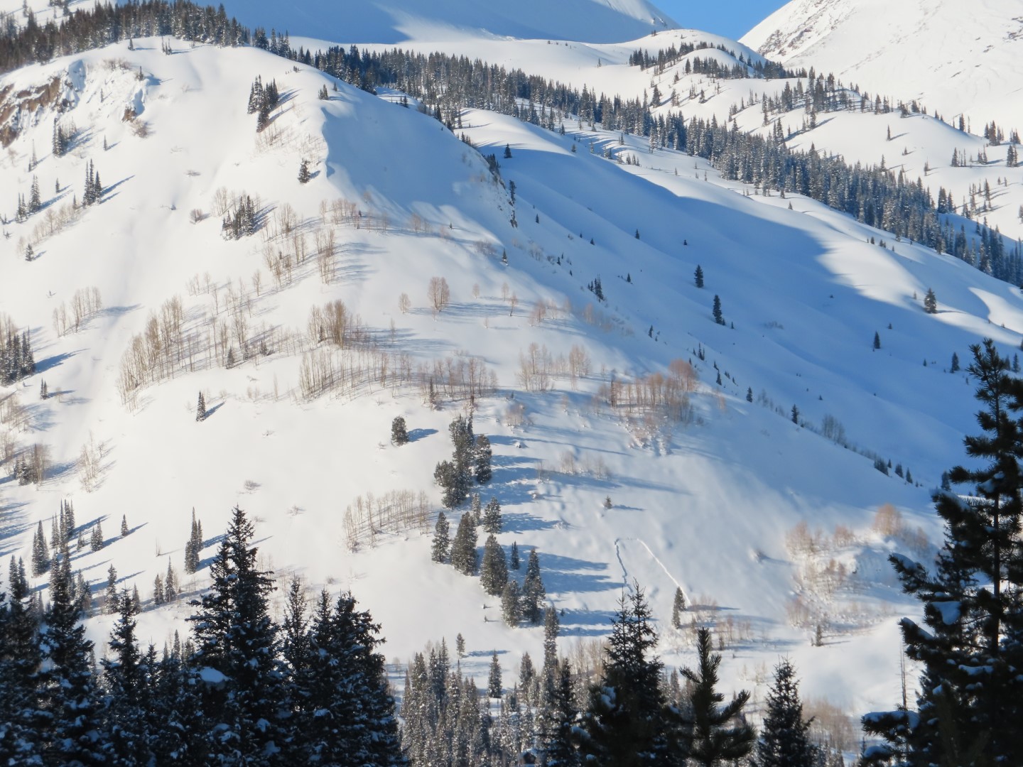
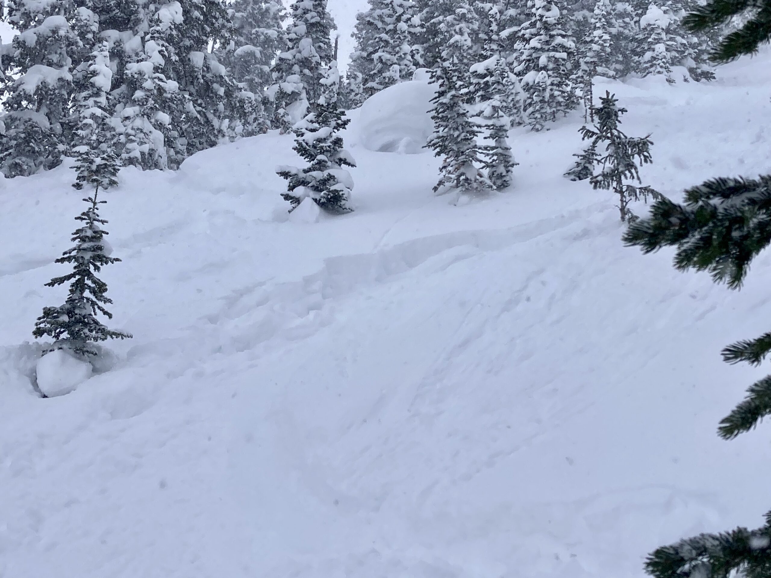
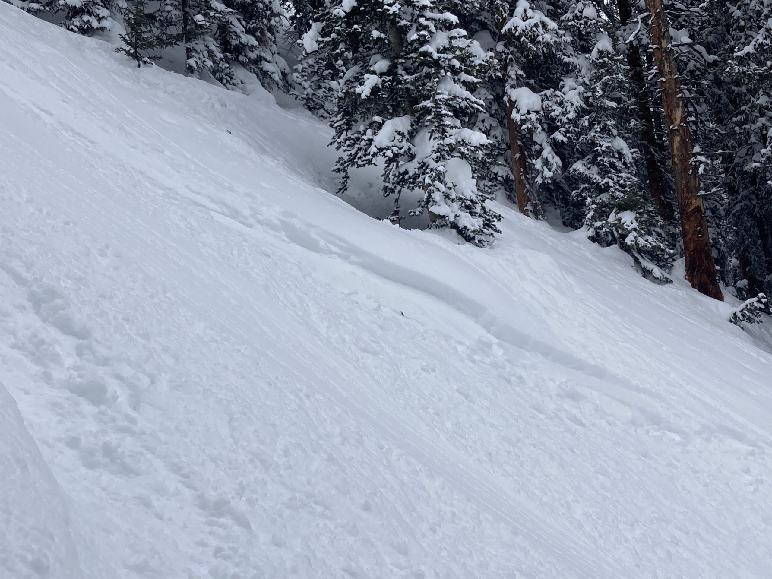
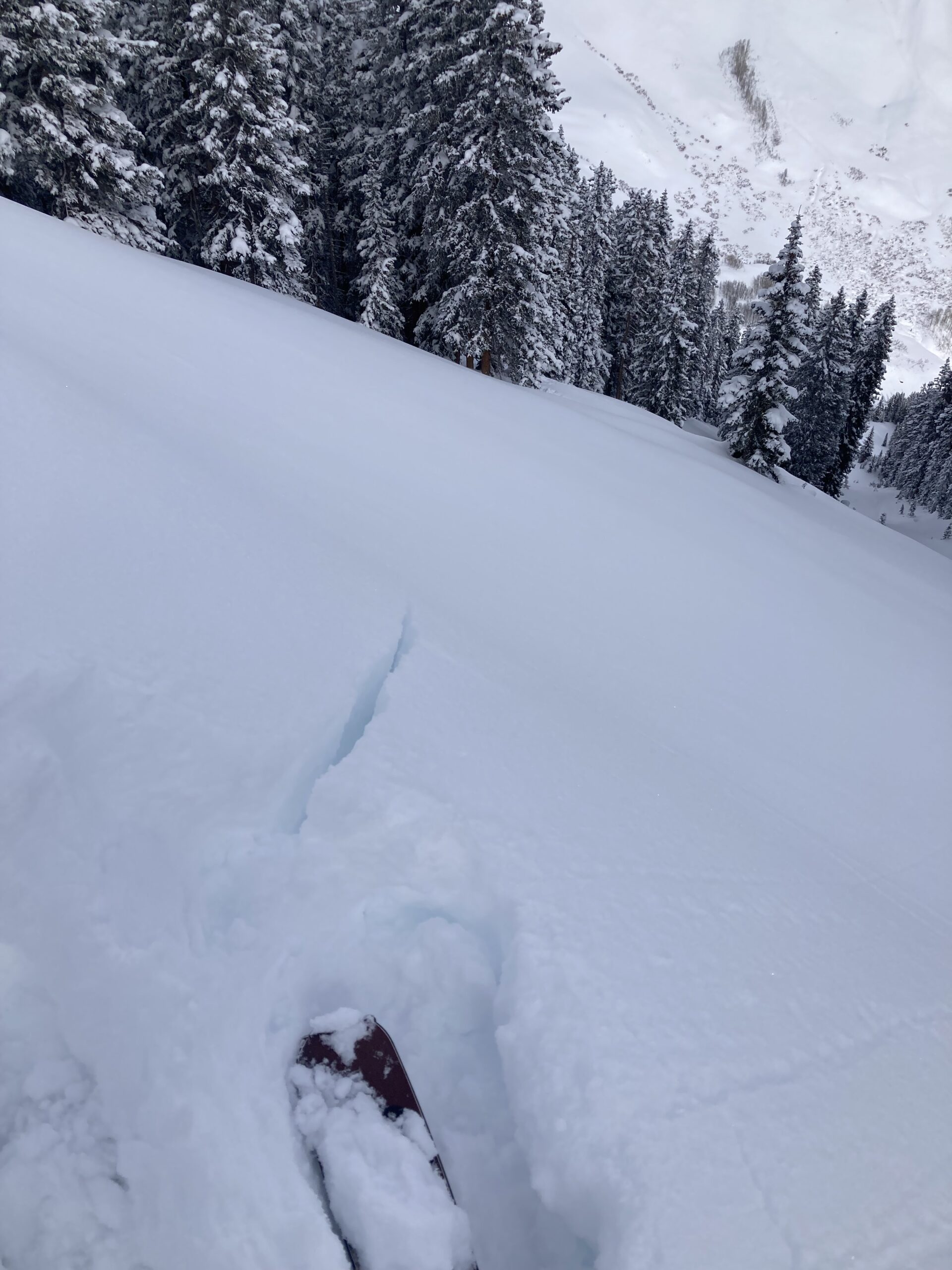
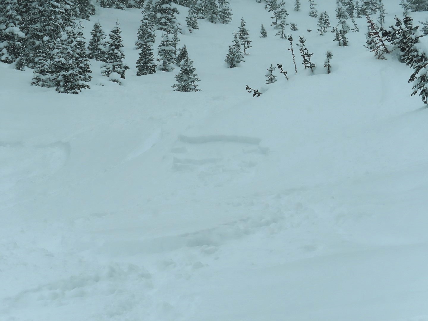
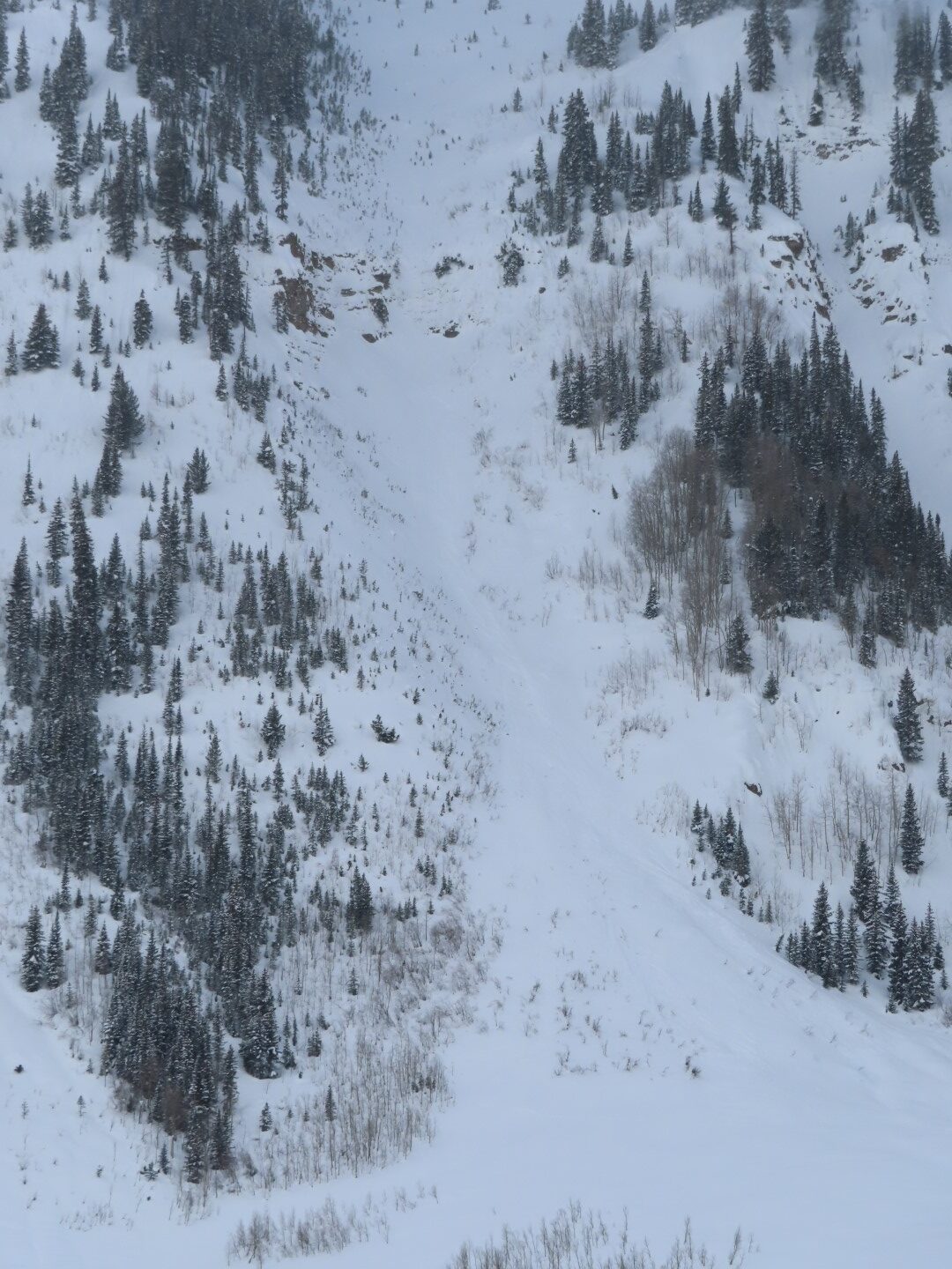
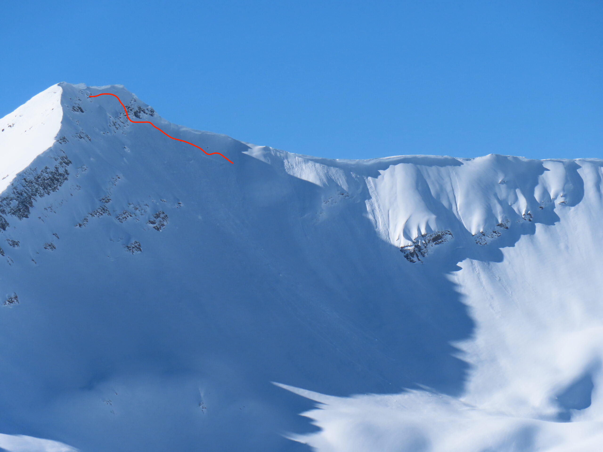
Avalanches: Several natural avalanches were observed on drifted terrain in the Ruby Range. Slabs did not break deeply and appeared to just involve the snowfall since 1/27. See images.
Weather: Clear skies and light winds at upper elevations. No snow transport was observed during the day.
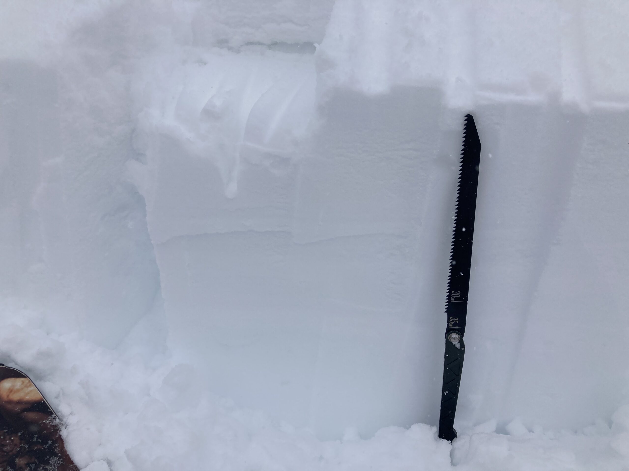
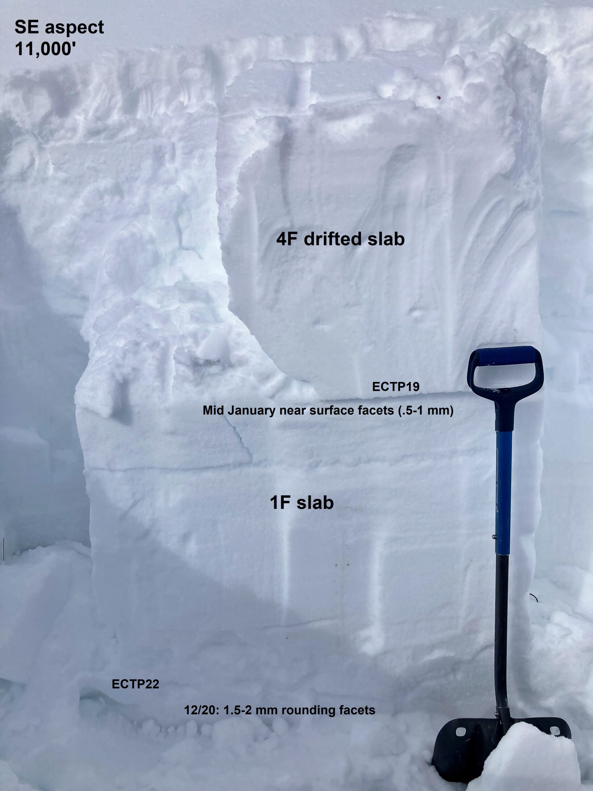
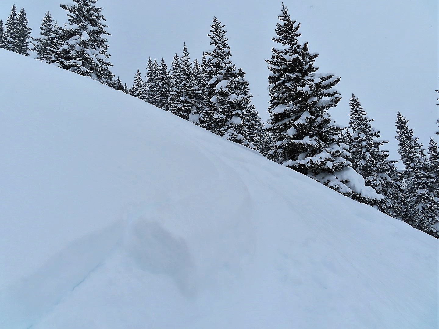
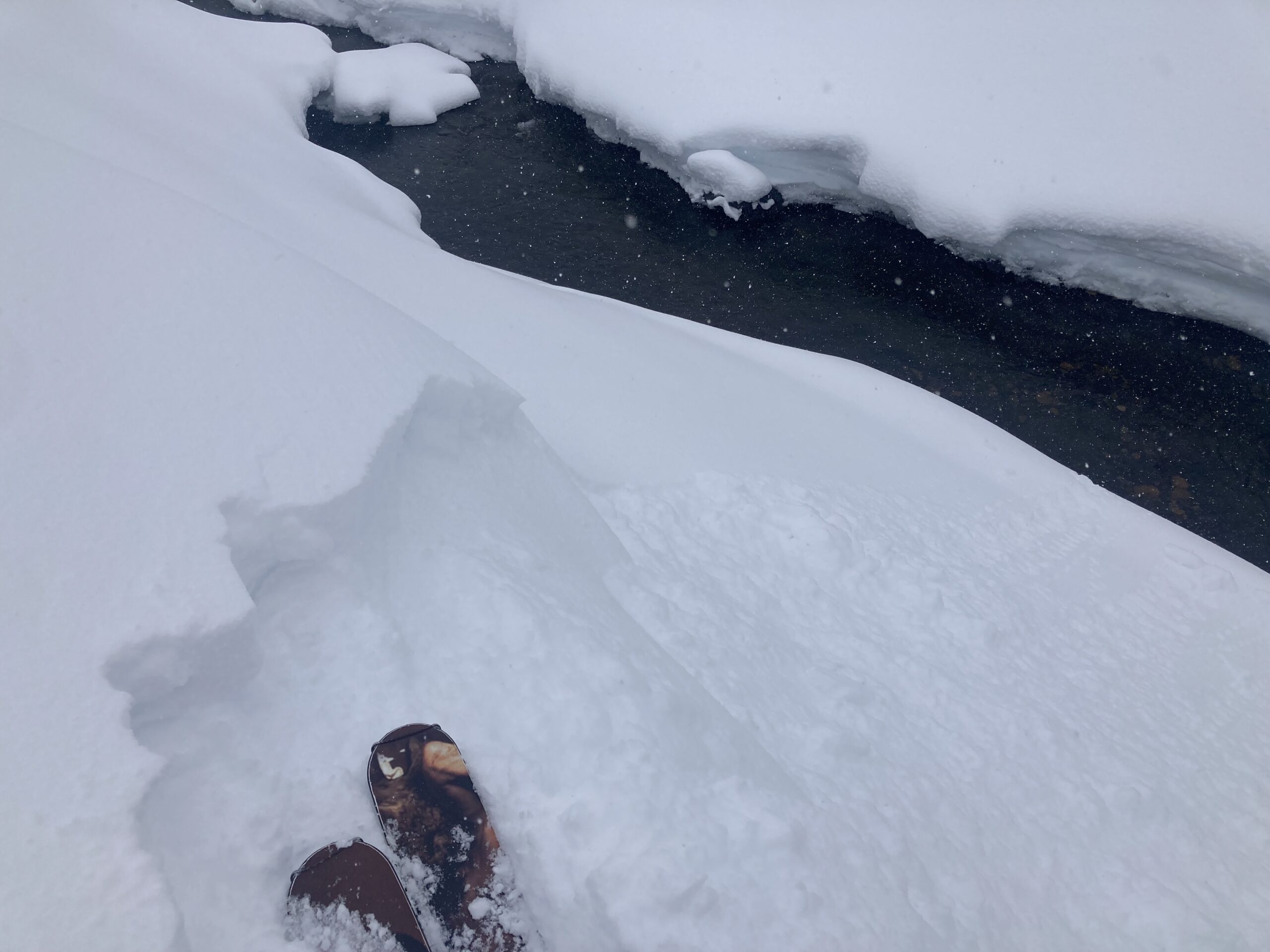
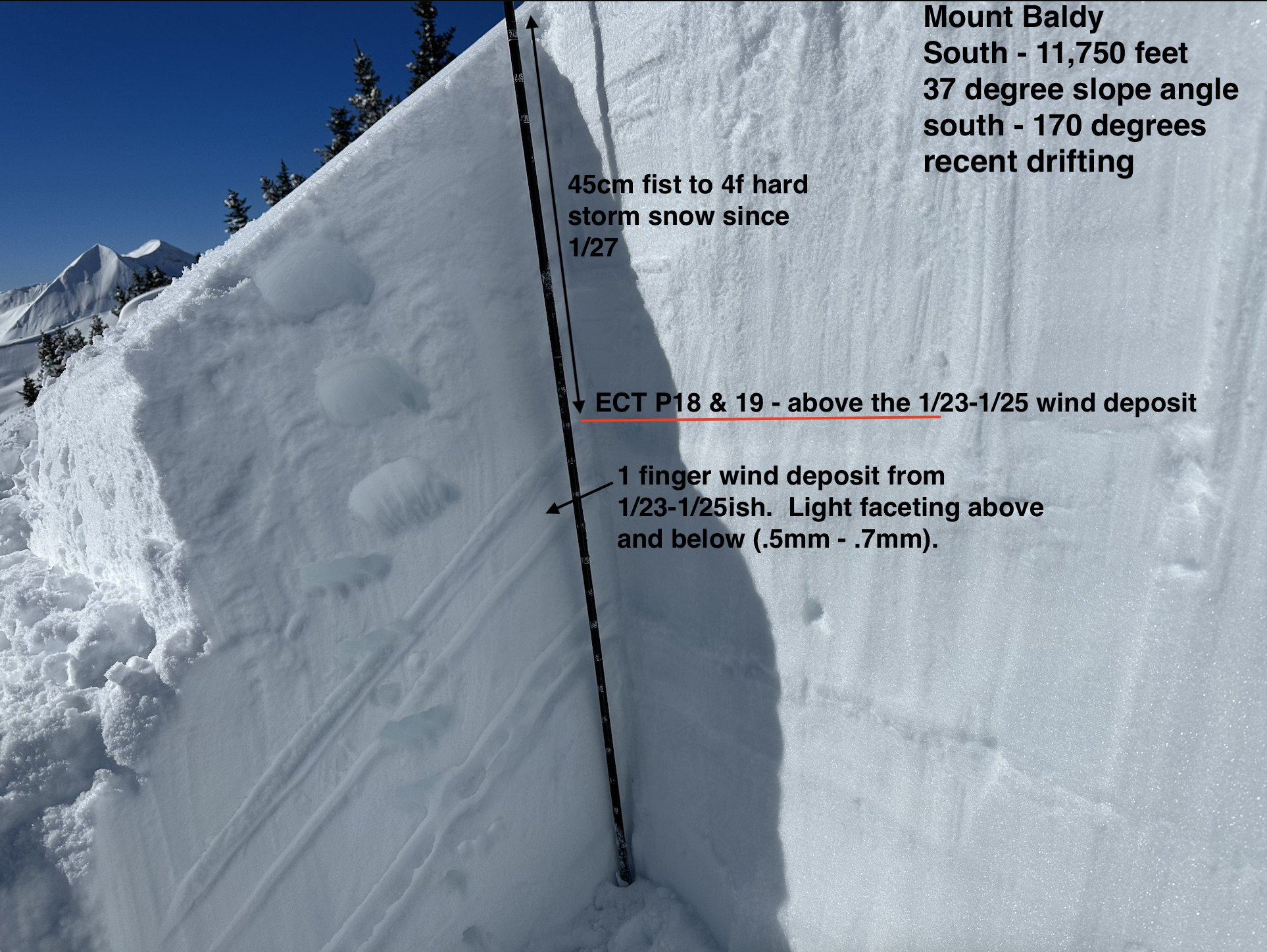
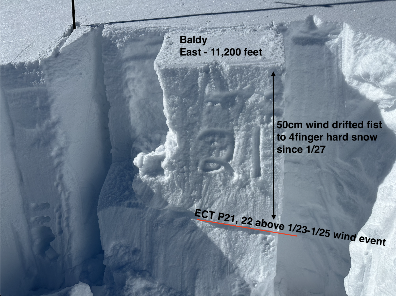
Snowpack: Below treeline, there was around a 15-inch soft slab from the recent snowy weather since 1/27. Near treeline on drifted terrain, slabs were closer to 2 feet + with hardness commonly 4 finger with isolated, well-drifted features up to 1 finger. Test profiles produced moderate and hard propagating results at the storm interface since 1/27. Both locations were previously drifted and failed above the drifting from last week (1/23 – 1/25). Light faceting was common above and below the older wind drifts from a week ago. I did not find a melt/freeze crust on due south slopes above 10,800 feet at the storm interface. Snow surfaces on southerly slopes became moist in the afternoon from solar radiation.
-

- Test profile from a drifted south-facing slope showing propagating test results on faceted grains from last weeks cold, dry period.
-

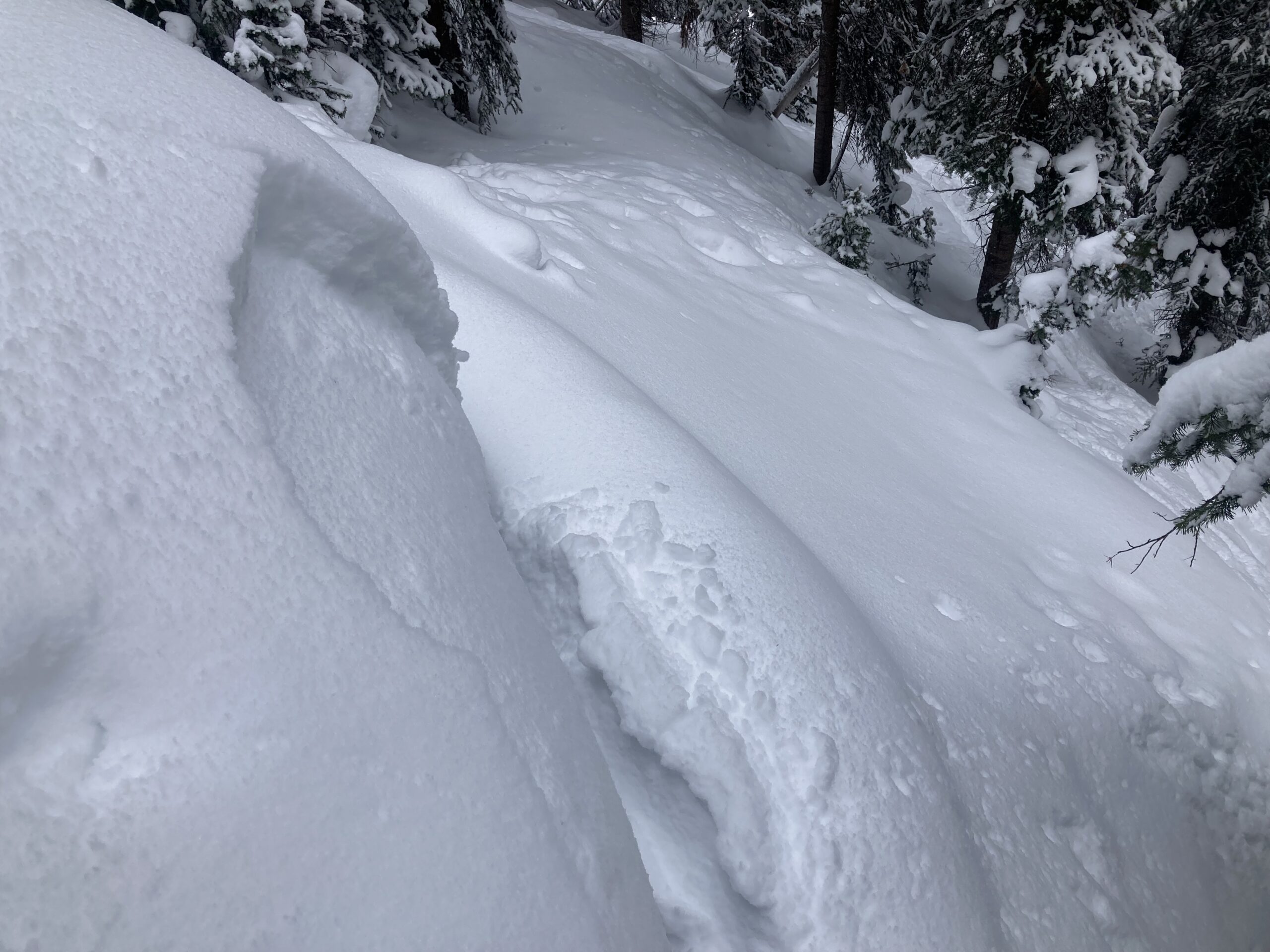
- A test profile on a drifted east-facing slope showing propagating results at the bottom of the recent storm snow (since 1/27).
-
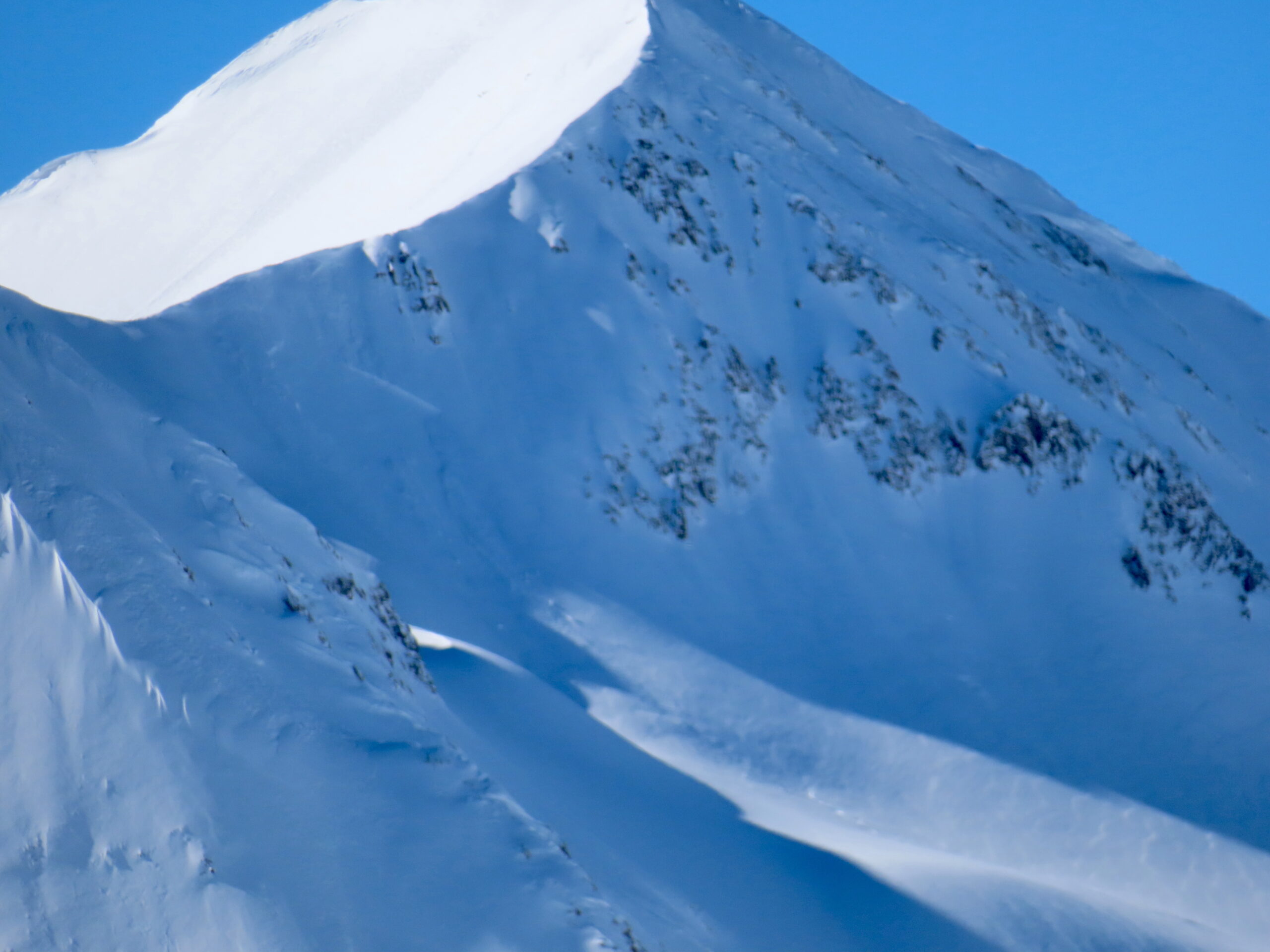
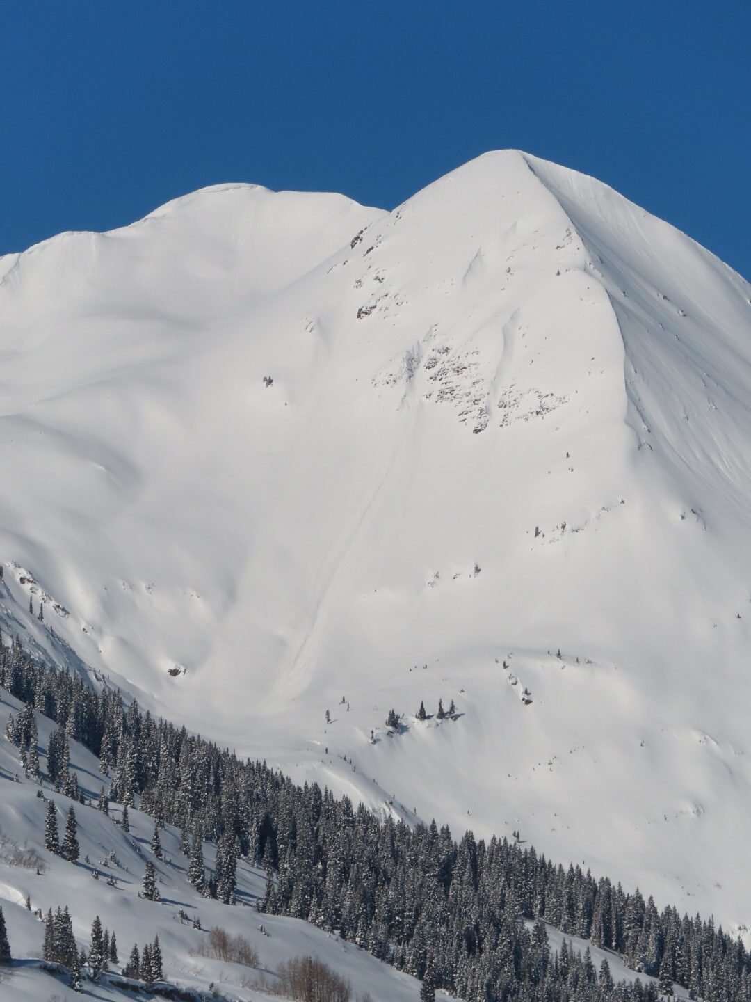
- Nature avalanche on south-facing terrain on Cinnamon Mountain. The sharpness of the crown suggesting it failed in the early morning hours of 1/31.

-

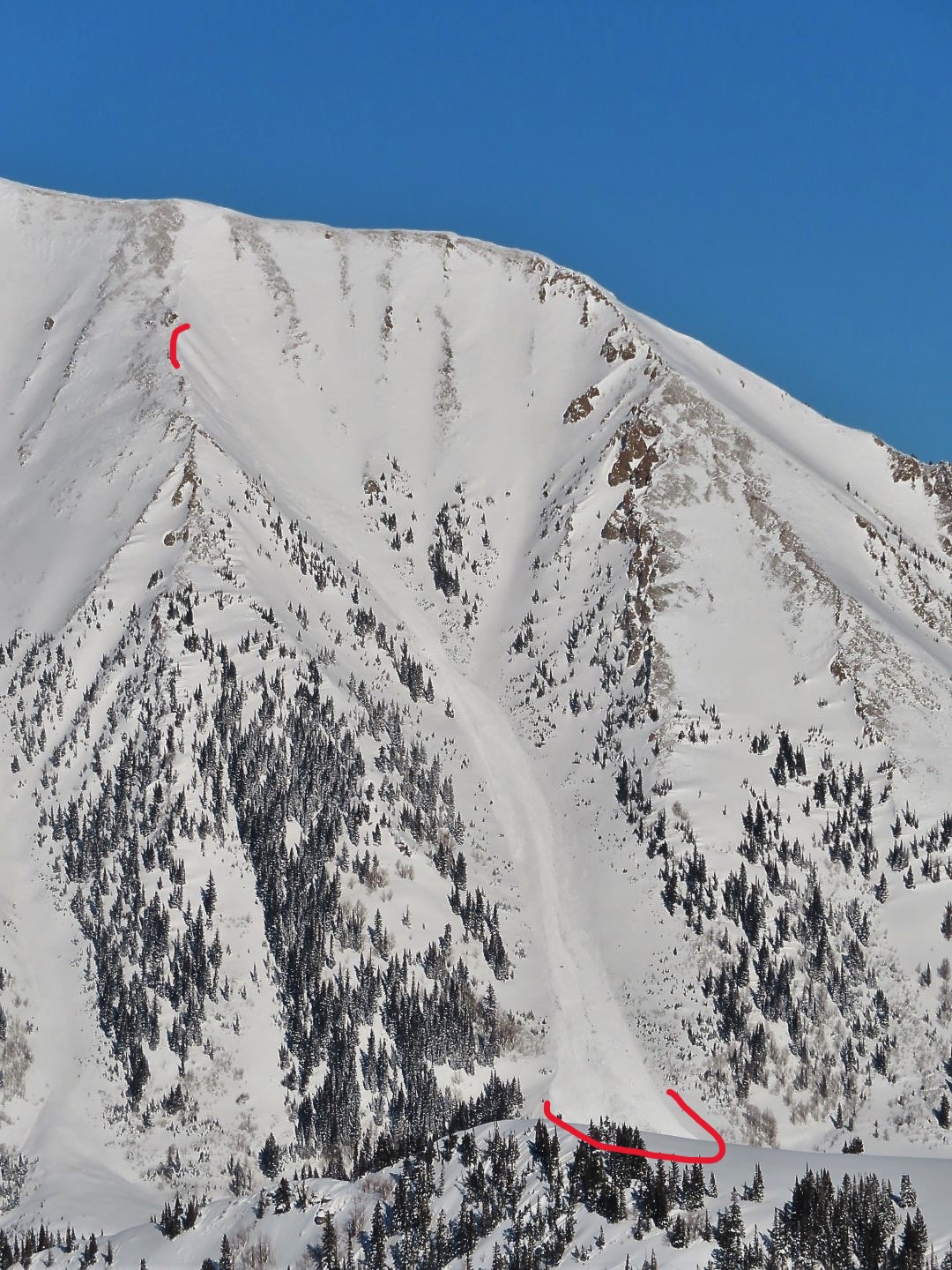
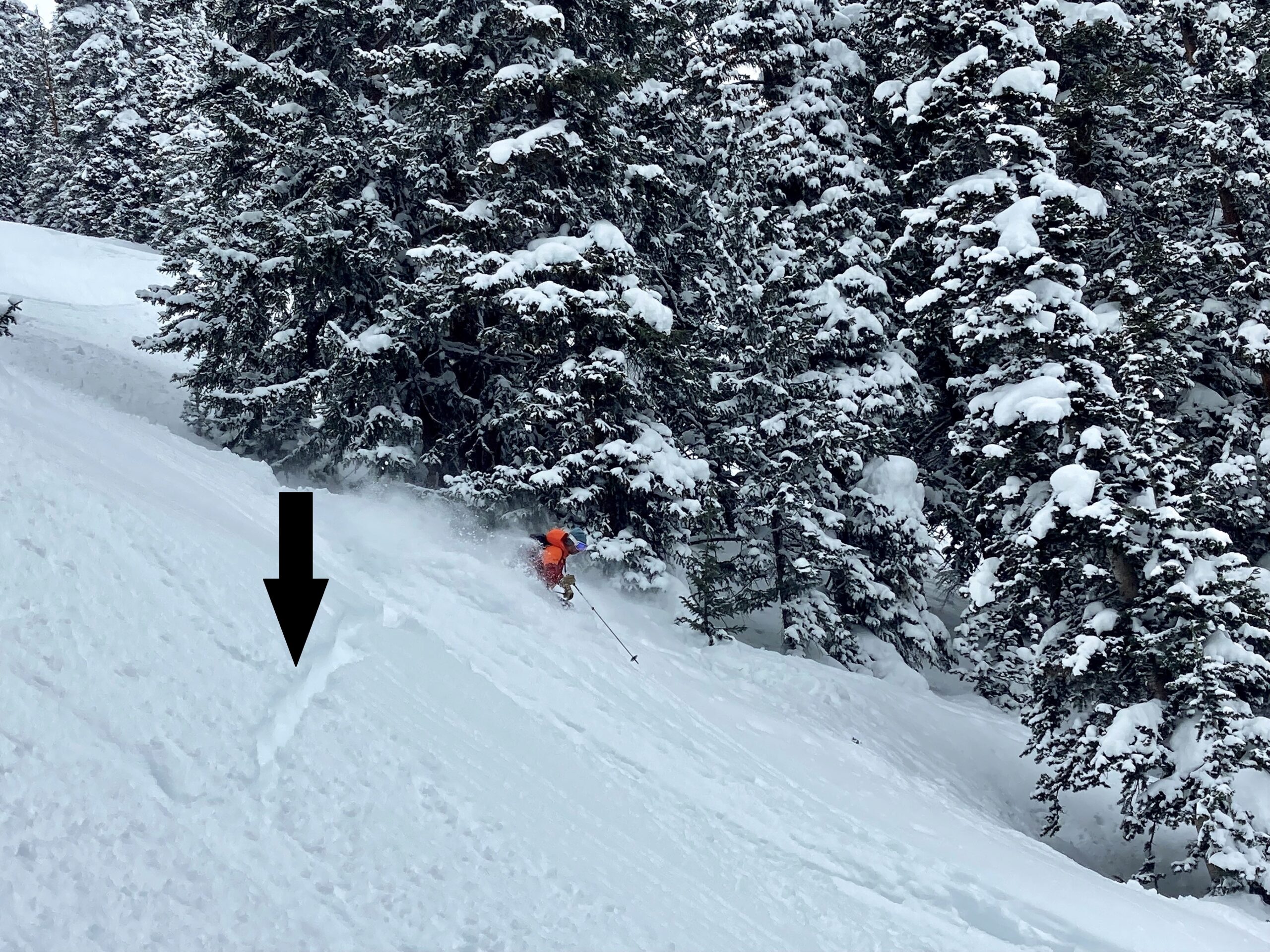
- An avalanche on the east side of Purple Mountain. It appears to have run around 1/30 since the crown and debris is subdued by snowfall.
-

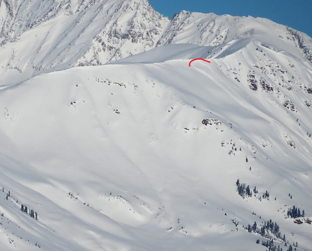
- A natural avalanche on drifted terrain between Augusta and Mineral Point. It appears to have failed a day or so ago during strong winds.