Date of Observation: 02/13/2023
Name: Zach Guy
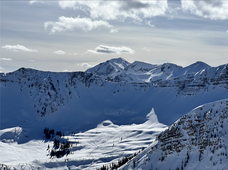
Zone: Northwest Mountains
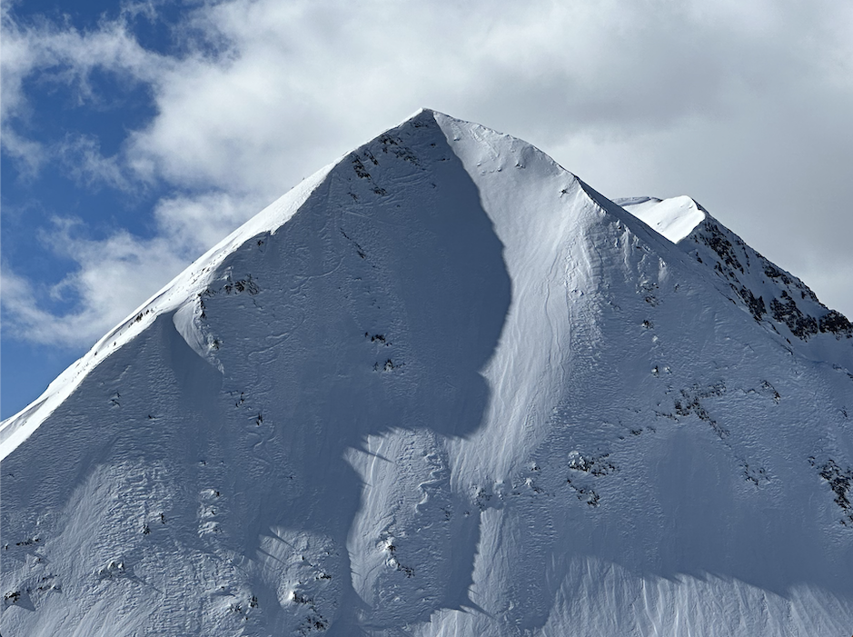
Route Description: East Beckwith, traveled on SE to NE aspects to 11,600′
Observed avalanche activity: Yes
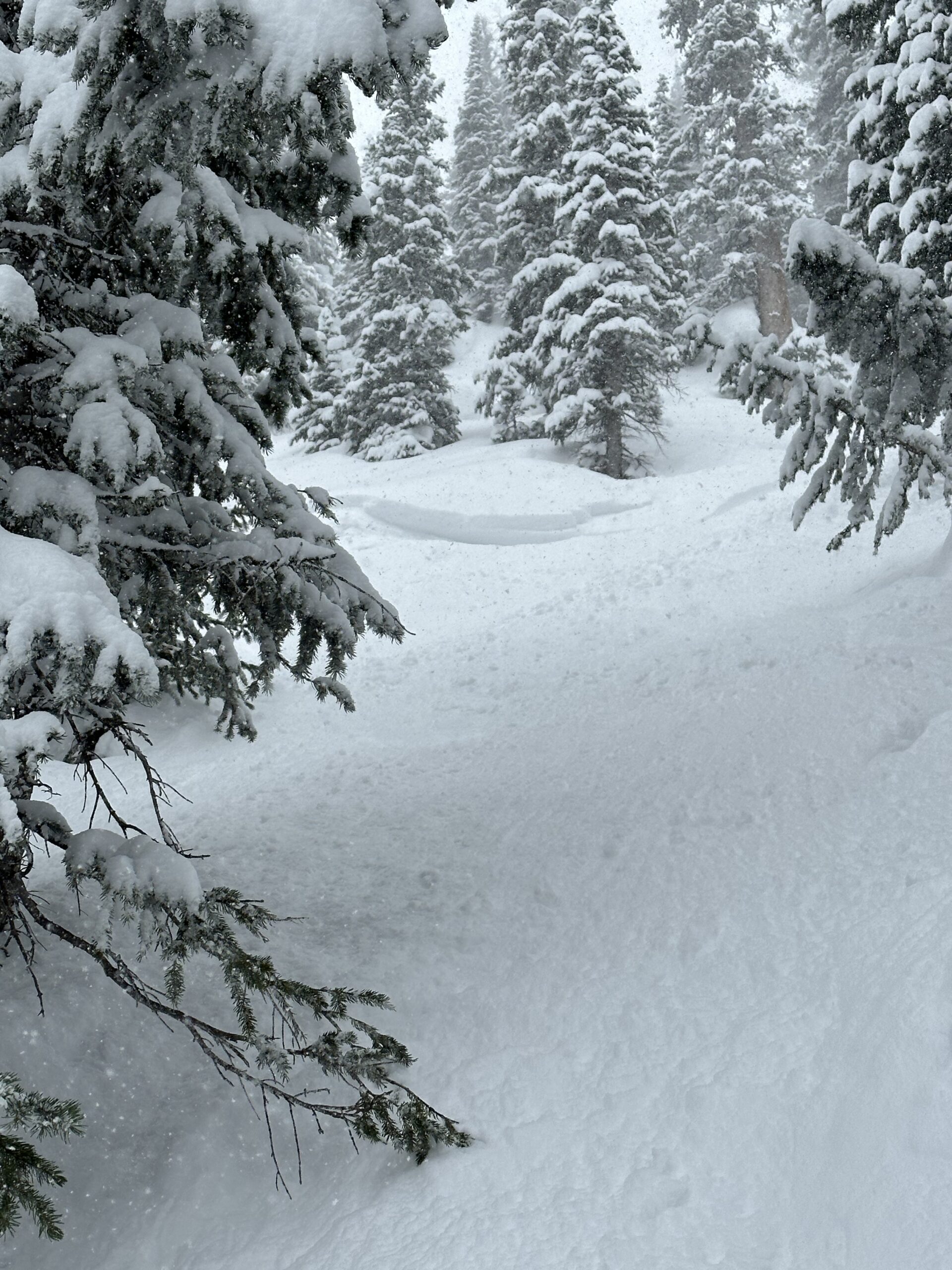
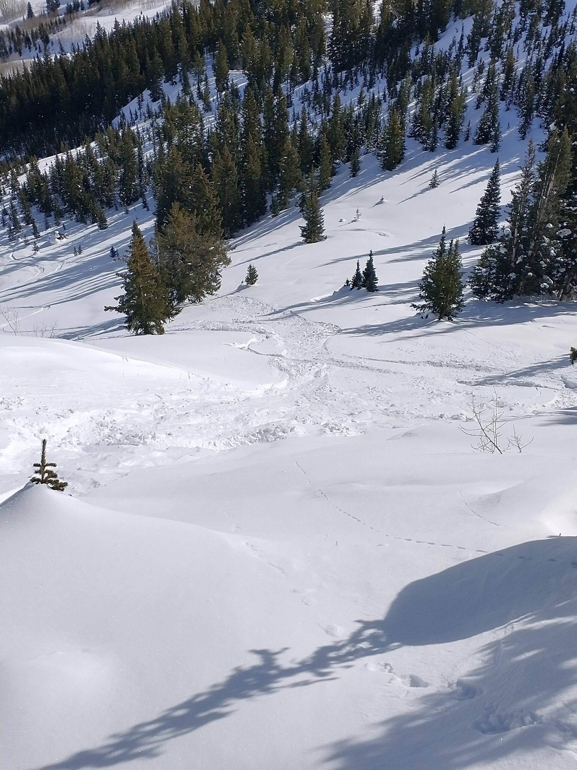
Avalanches: Skier triggered a small sluff that gouged into old snow on a very steep, rocky face with a shallow snowpack.
Weather: Clouds increased late morning from clear to overcast. Light snowfall began around 1 p.m. along with periods of snow transport from moderate south winds.
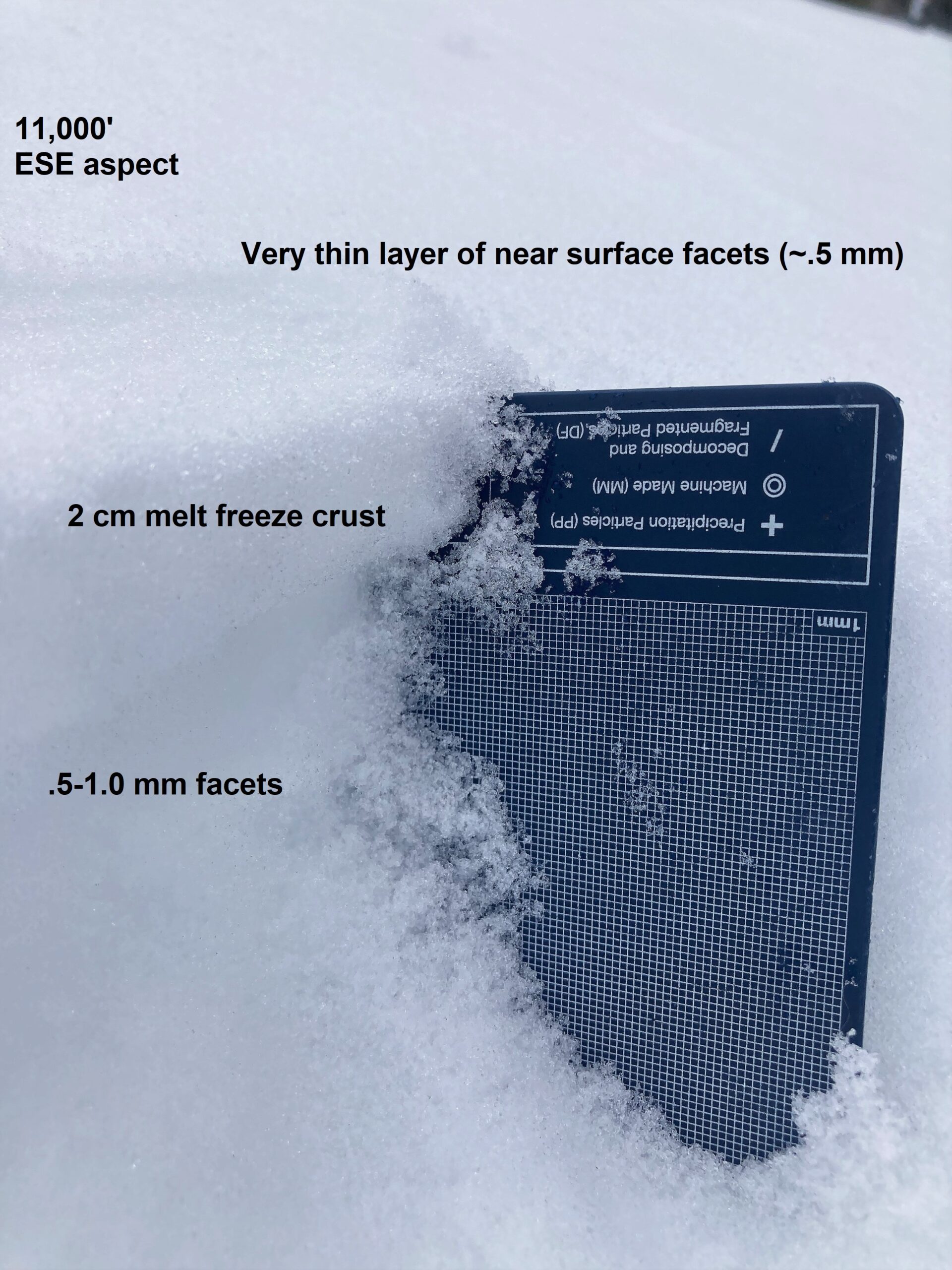
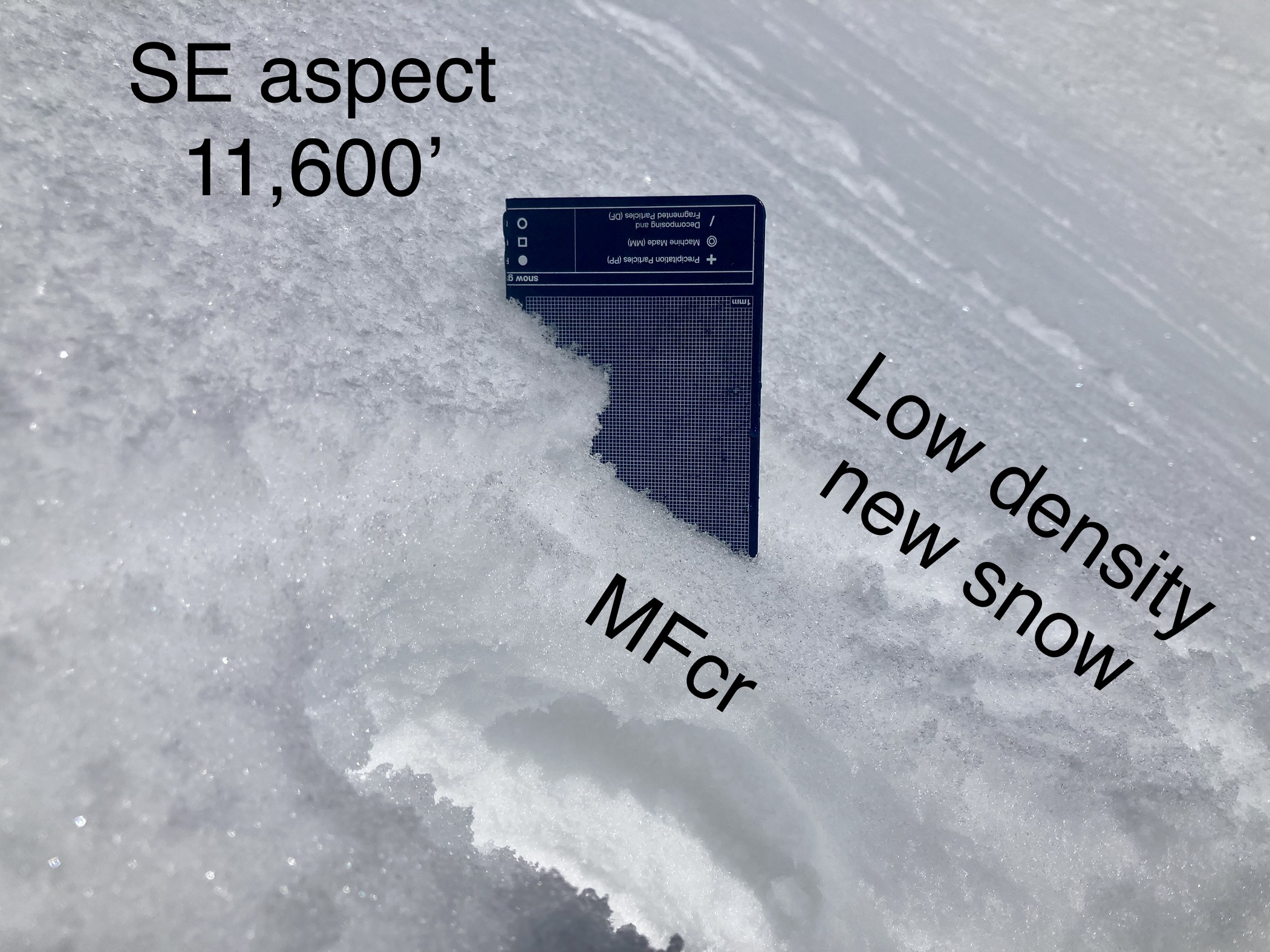
Snowpack: The snow surface is faceted on colder aspects: anything north of ESE. Like our January layer, the weak layer on our snow surface isn’t large and well-developed, but could cause storm instabilities to be more sensitive or persist a little while longer than normal. On due east and east-southeast aspects, there is a thin crust (.5 to 3 cm) above small-grained facets (.5-1 mm), with dry, small-grained facets above the crust (.5 mm). On anything north of due east, the crust is lacking, just small-grained facets (.5-.75mm). On southeast and south, the crust is thicker and I didn’t observe any facets above it. As we gained elevation, surfaces are more variable from wind effects and facets are less widespread, with more fragmented and rounded grains from previous wind damage. Snow surfaces are weakest near steep and rocky terrain where the snowpack is shallower.
Photos:
-

-
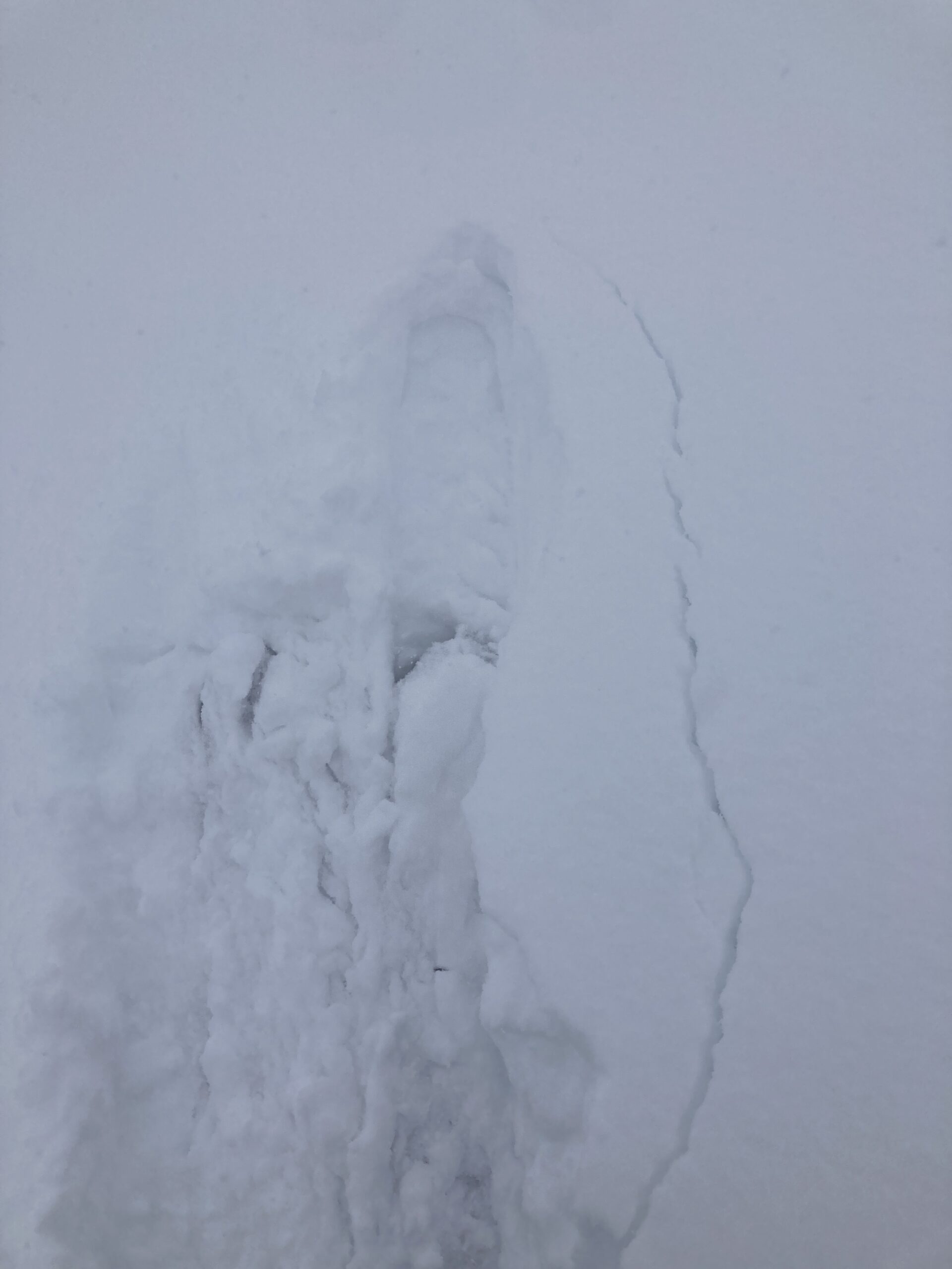
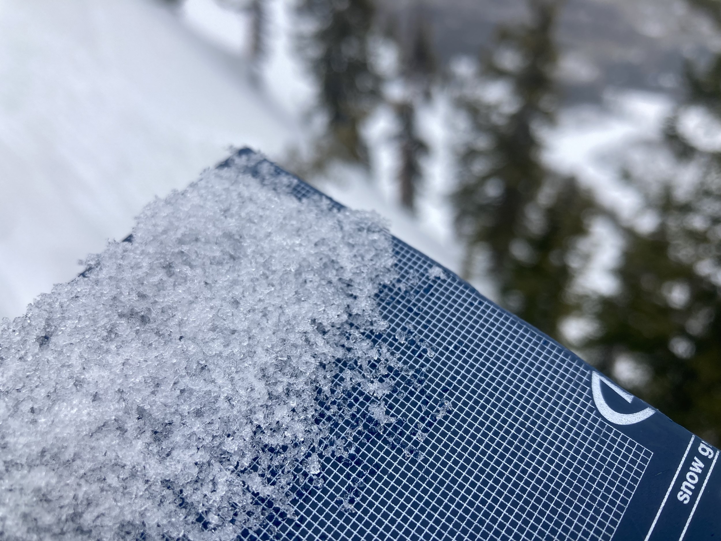
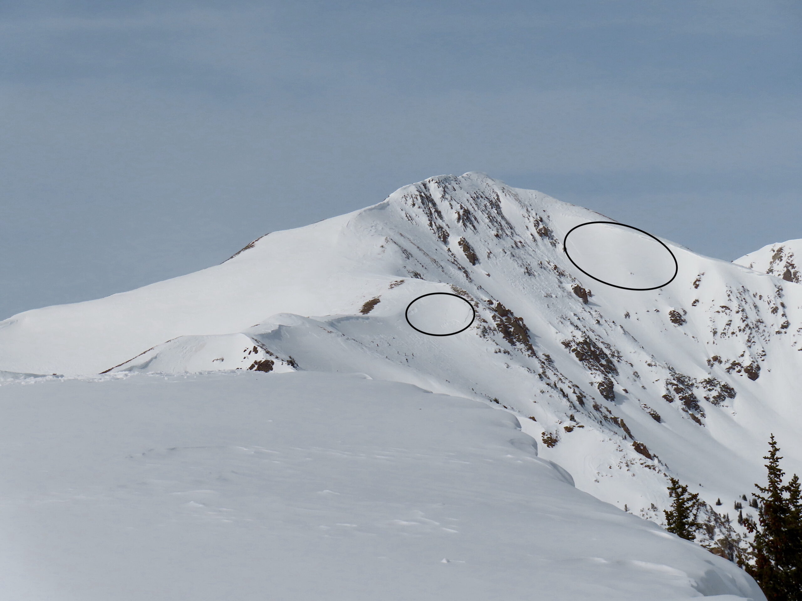
In rocky and shallower terrain, near surface facets are larger and more developed; 1-2mm in size.
-

-
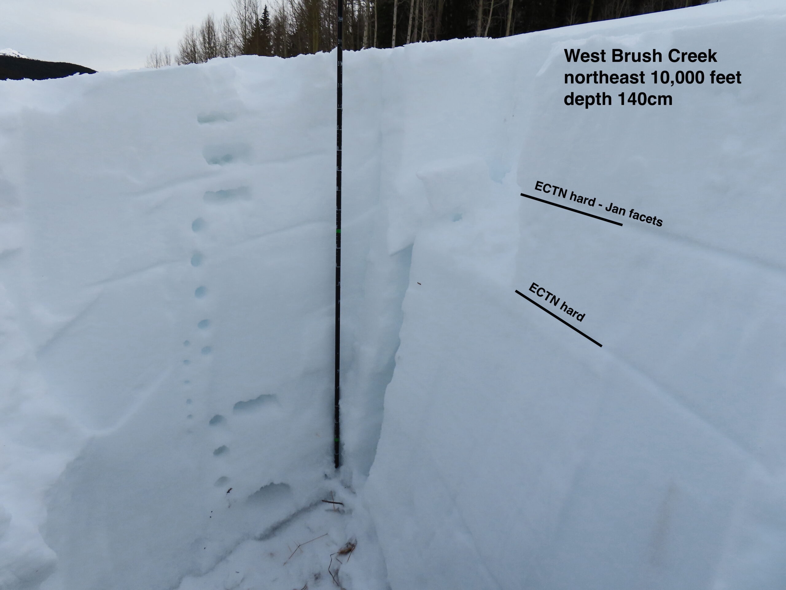
Small grained facets above and below a crust on an ESE aspect. Further SE, the crusts are thick without facets above. Further east, the crust thins.
-

-
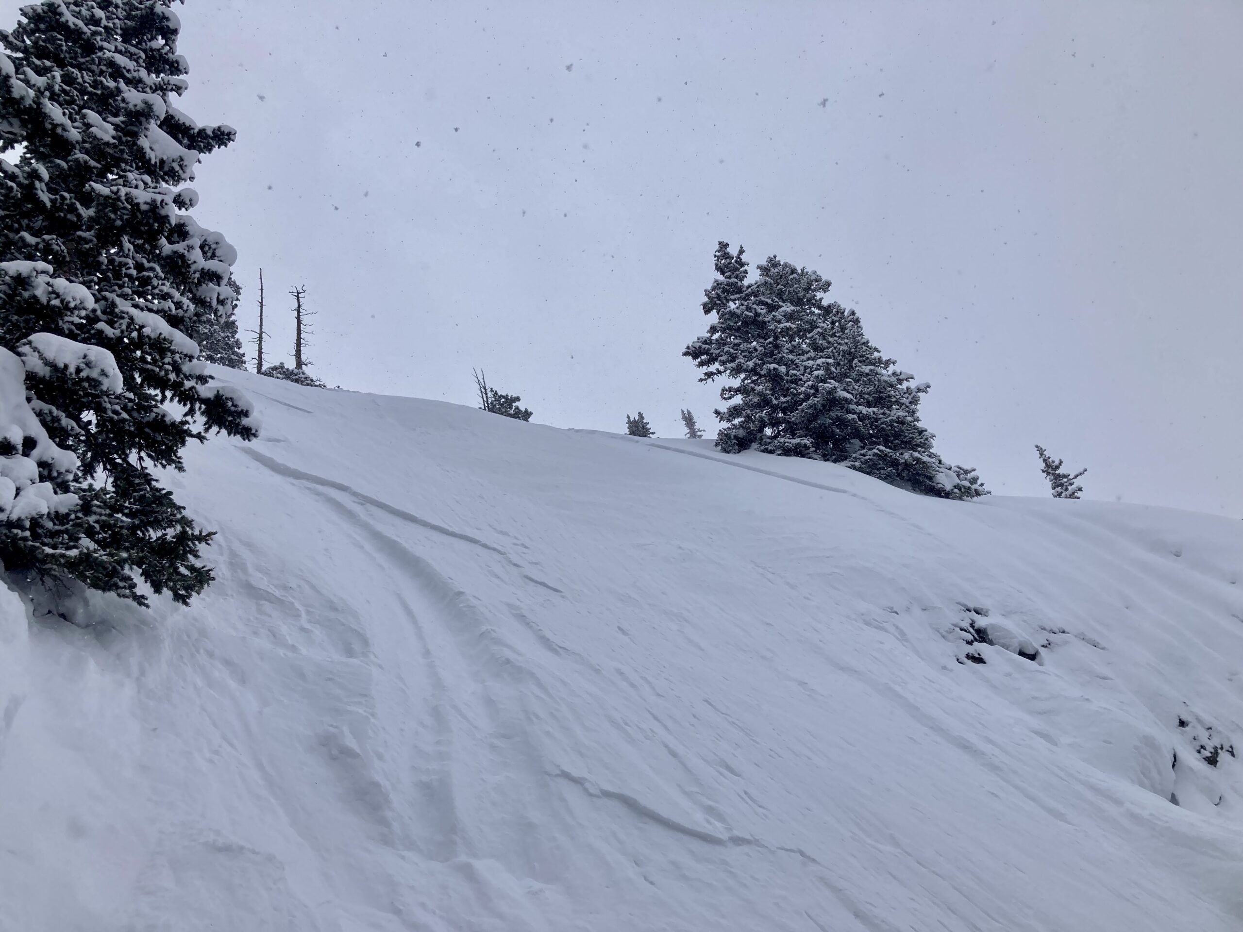
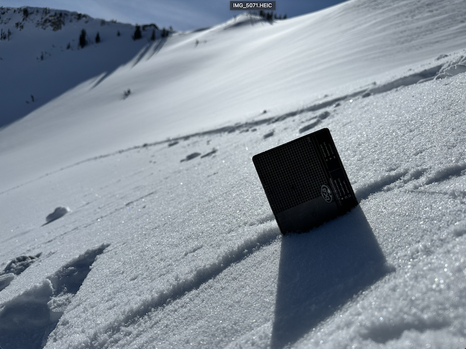
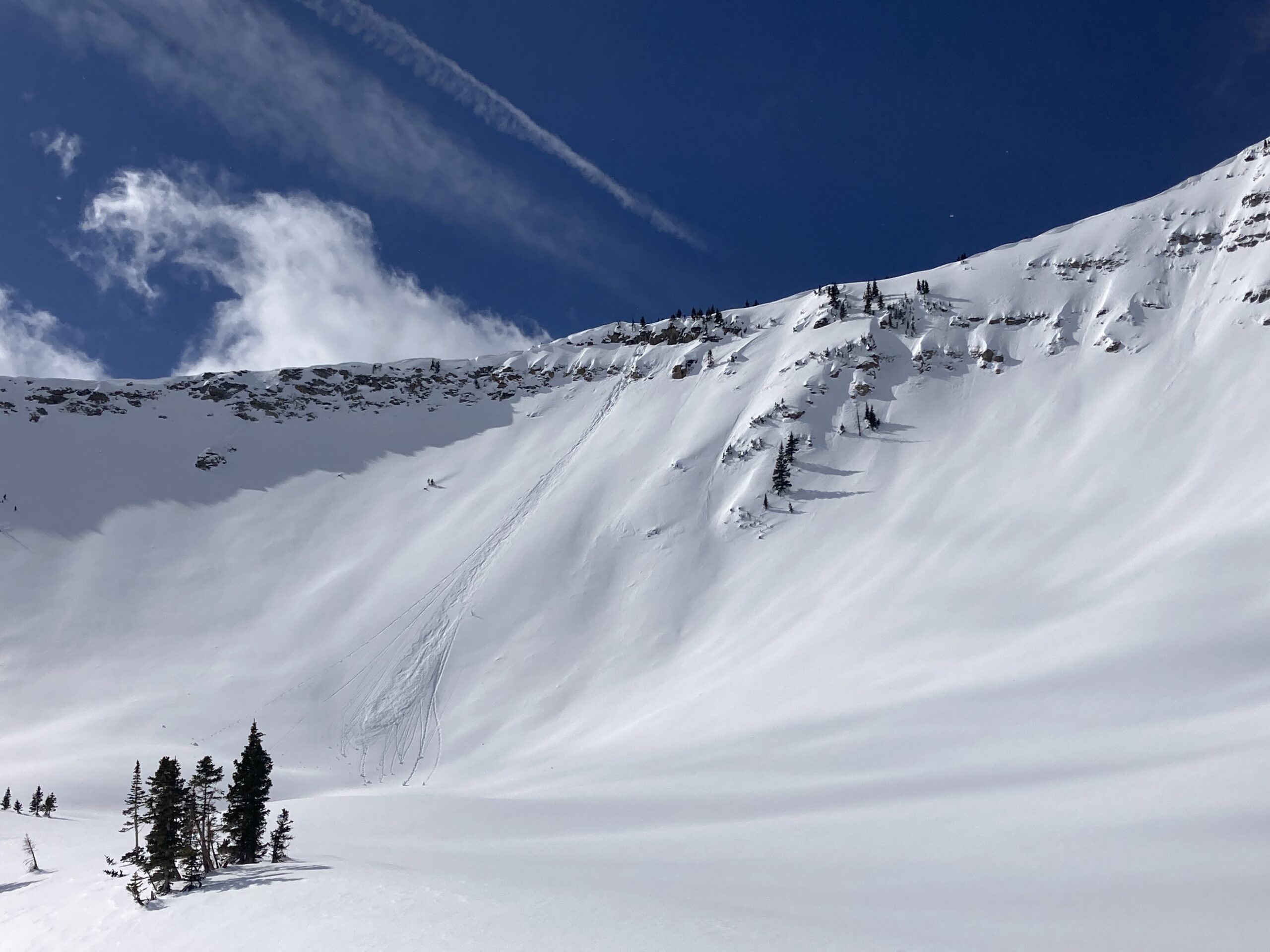
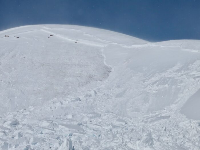
An old, widely propagating crown, likely from the late January storm. This is the same type of terrain that has the weakest snow right now: thin, rocky and very steep.
Estimated avalanche date: 02/13/2023
Number of Avalanches: 1
Location
Location: Beckwith Range
Location Specific:
Start Zone Elevation: NTL: Near Tree Line
Aspect: NE
Characteristics
Trigger: Skier
Trigger modifier:
Type: Loose
Failure Plane: Old snow
Size
Relative Size: R1 very small
Destructive Size: D1- Relatively harmless to people
Avg. crown height (inches):
Avg. width (feet):
Avg. vertical run (feet):
Involvements
# of people caught:
# of partial burials:
# of full burials:
Additional comments: Notable because it gouged into older snow in a shallow, rocky area.
Estimated avalanche date: 01/30/2023
Number of Avalanches: 1
Location
Location: Beckwith Range
Location Specific:
Start Zone Elevation: NTL: Near Tree Line
Aspect: NE
Characteristics
Trigger: Natural
Trigger modifier:
Type: Soft Slab
Failure Plane: Old snow
Size
Relative Size: R2 small
Destructive Size: D2 – could bury, injure, or kill a person
Avg. crown height (inches):
Avg. width (feet):
Avg. vertical run (feet):
Involvements
# of people caught:
# of partial burials:
# of full burials:
Additional comments: East Beckwith. Widely propagating slab in a shallow rocky area. My guess is it failed on Jan facets during the last major storm, probably a repeat offender from December activity.
5991