


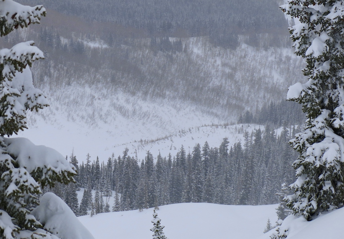
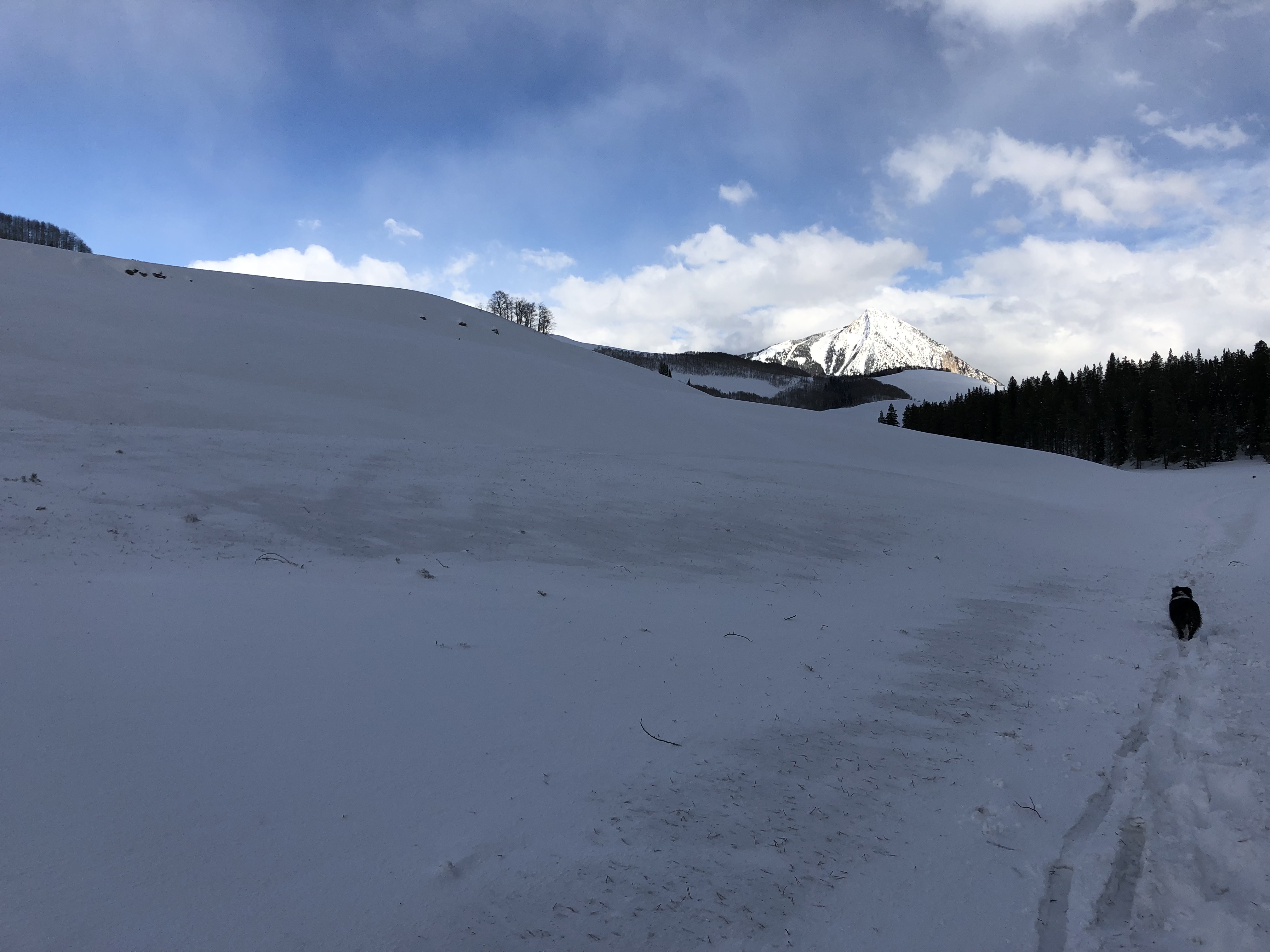
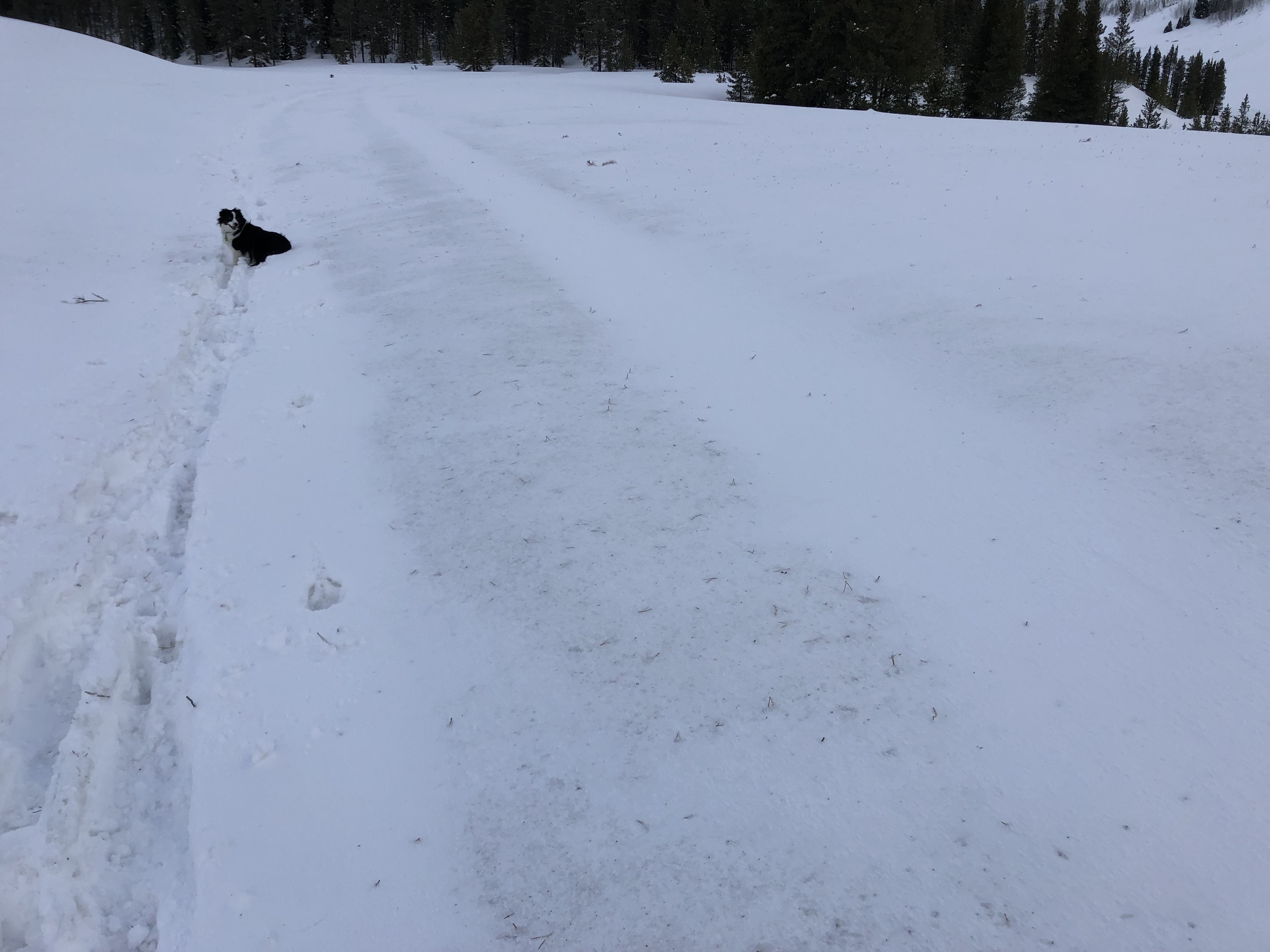
Location: Paradise Divide Area
Date of Observation: 03/09/2019
Name: Zach Kinler
Subject: Weekly Snowpack/Weather Summary
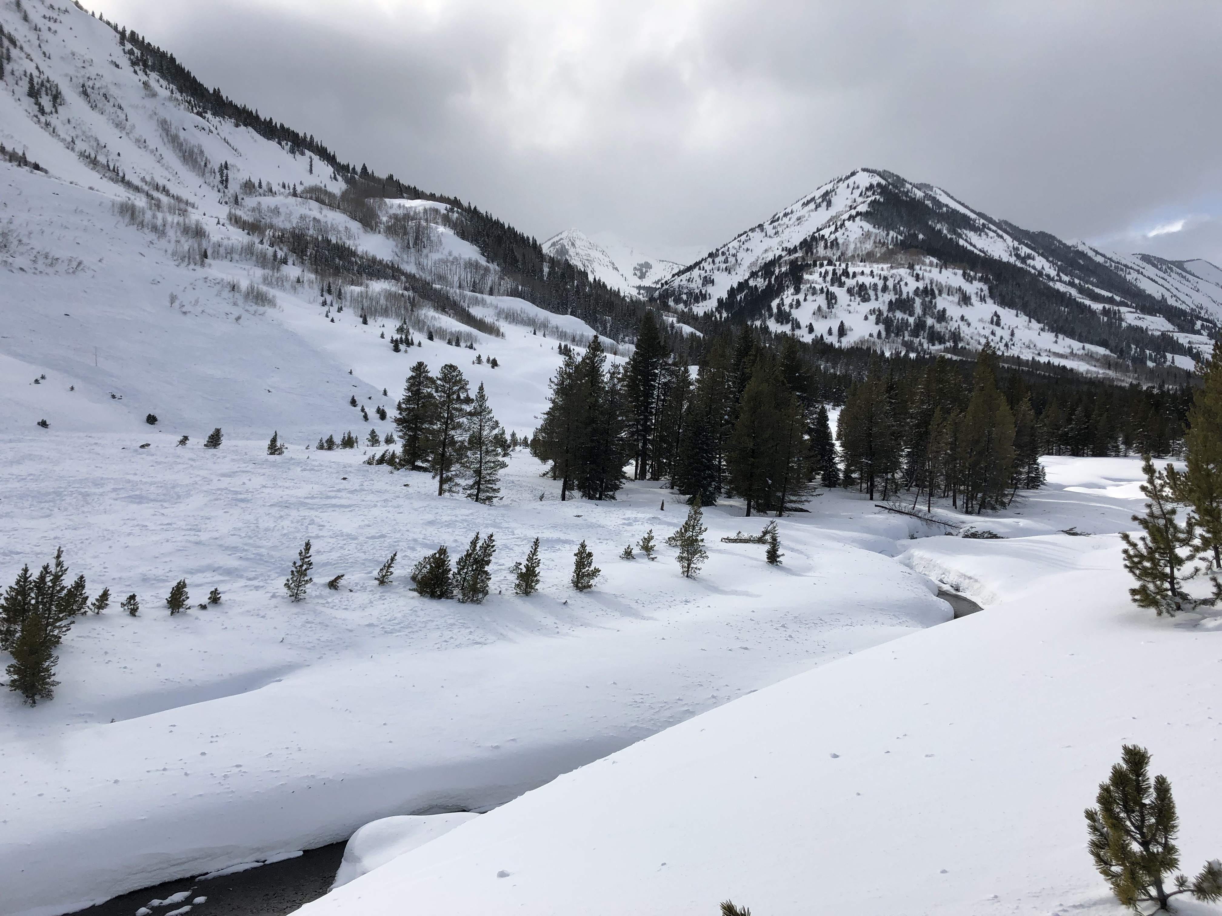
Location: Paradise Divide Area
Date of Observation: 03/09/2019
Name: Zach Kinler
Subject: Weekly Snowpack/Weather Summary
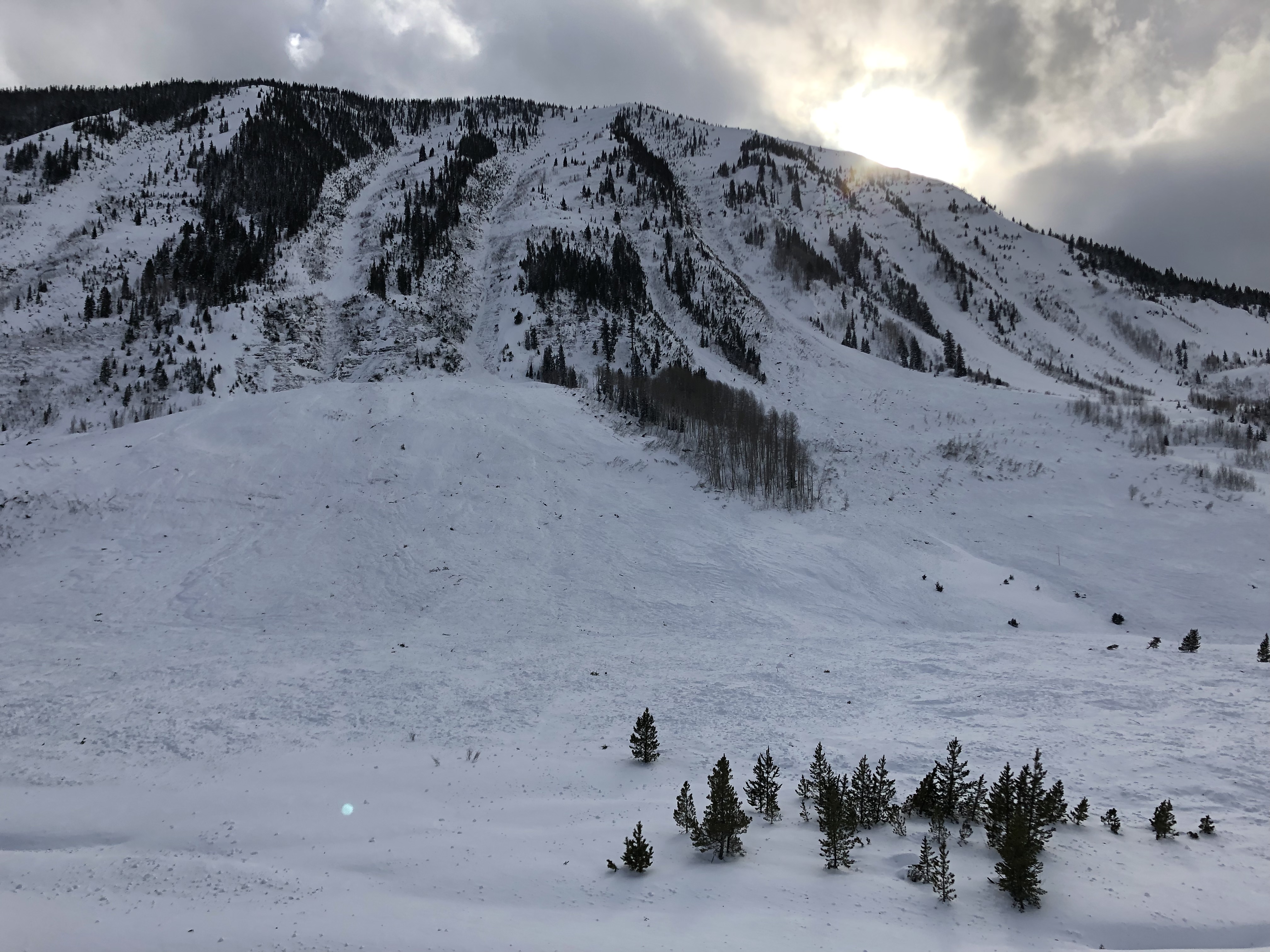
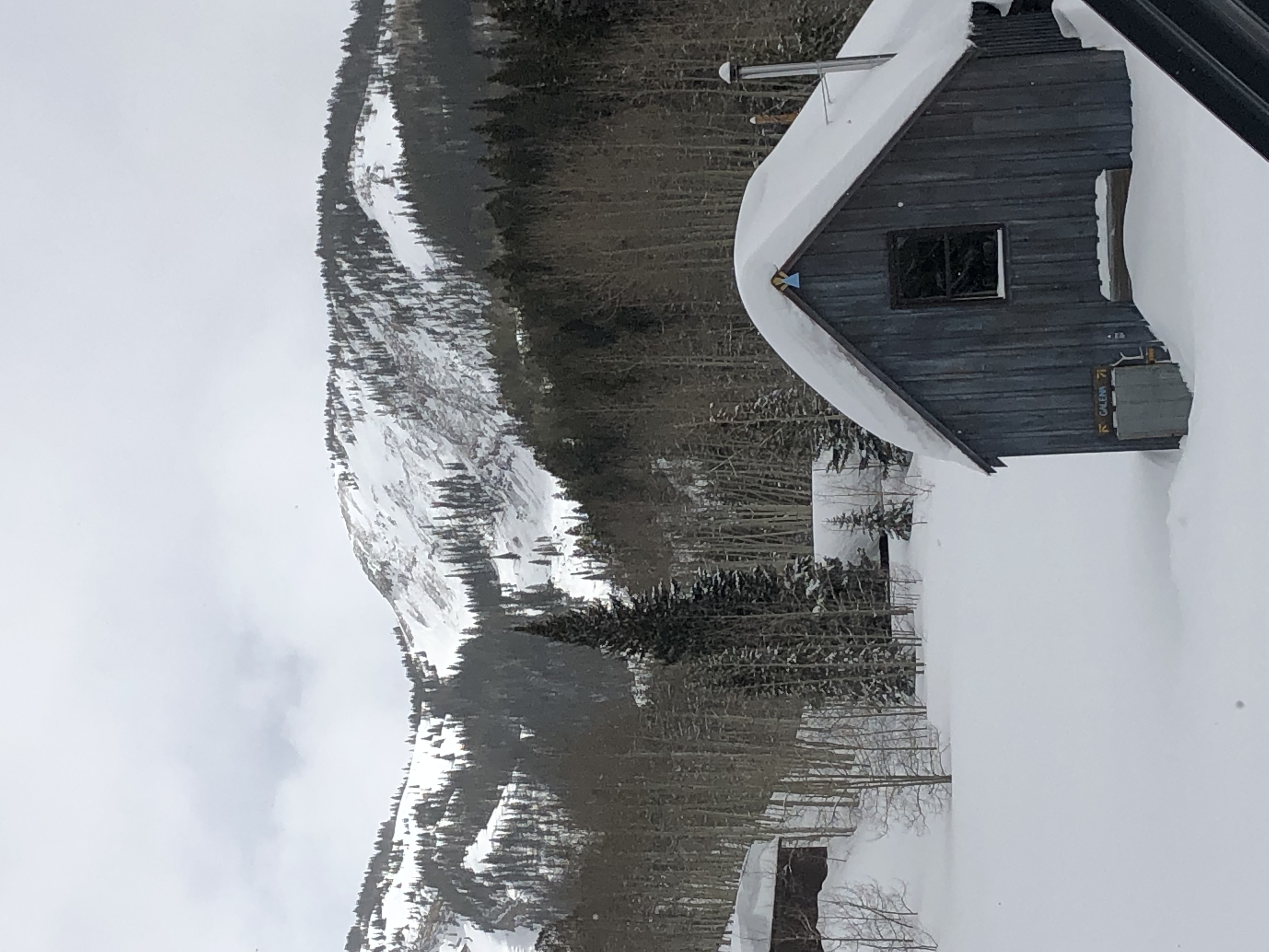
Location: Crested Butte Area
Date of Observation: 03/09/2019
Name: billy barr
Subject: Gothic 3/9
Aspect:
Elevation: 9,400
Avalanches:
Weather: More of the same with strong wind the past 24 hours and light to moderate snow, though it did stop from 10-2 yesterday and 1-5 this morning. But blizzard conditions with a lot of snow transport. The 24 hour totals are 10½” new snow and 0.73″ of water- still dense but lighter than the past few days. Pretty much obscured all the time though some brief cloud lifting to see that nothing on Snodgrass had slid as of mid day yesterday. Snowpack is at the winters deepest of 93½” but is now settling as fast as it comes down. Cooler last night with the current 15F the days low, while overcast and snowing lightly with steady wind 5-10 W gusting to 25. Snowfall this month 78″ so far with 6.83″ of water.
Snowpack:
Photos:
Location: Kebler Pass Area
Date of Observation: 03/08/2019
Name: Irwin Cat Skiing
Subject: Large Explosive Triggered Avalanches
Aspect: East, South East
Elevation: 11,000
Avalanches:
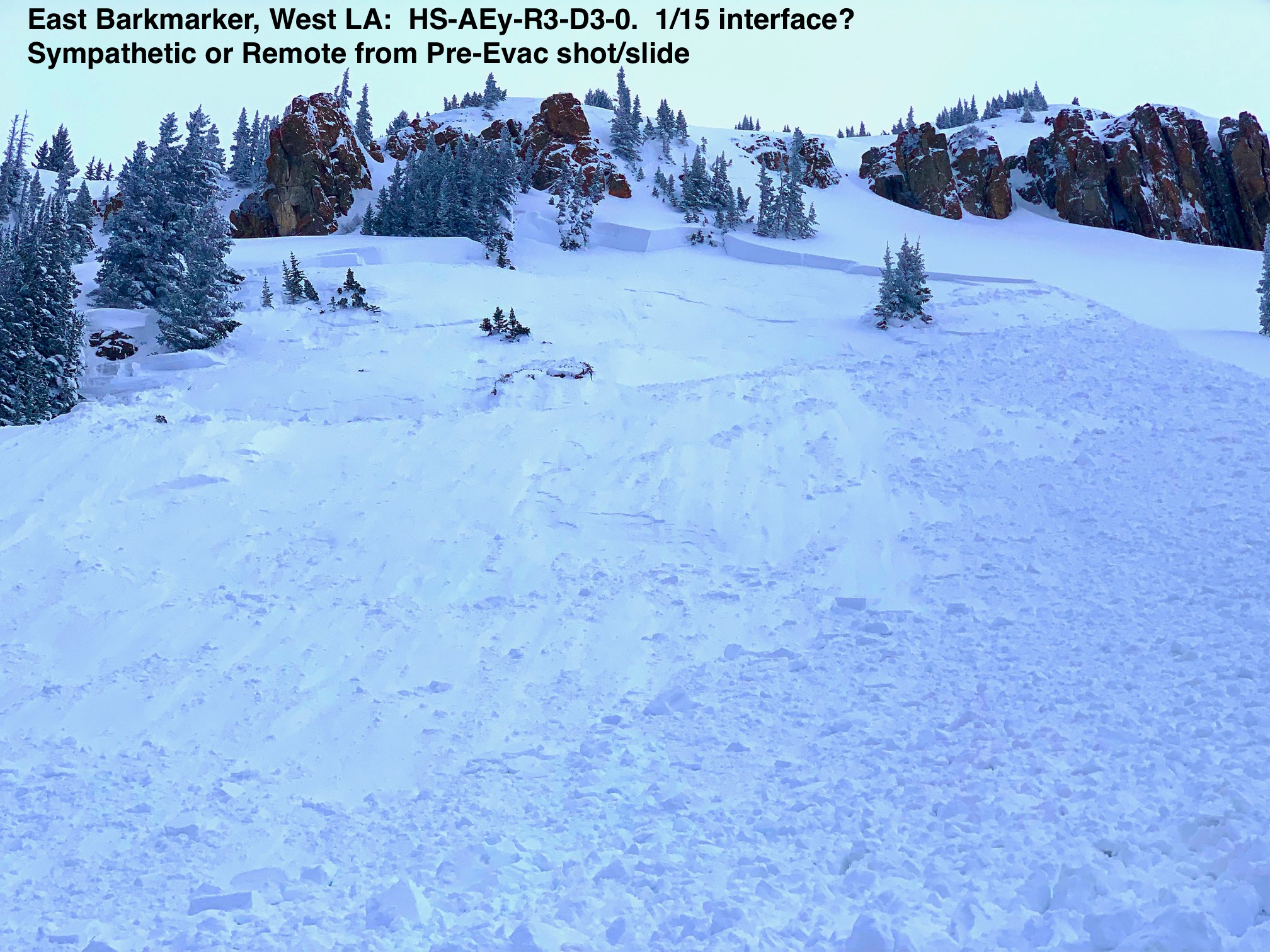
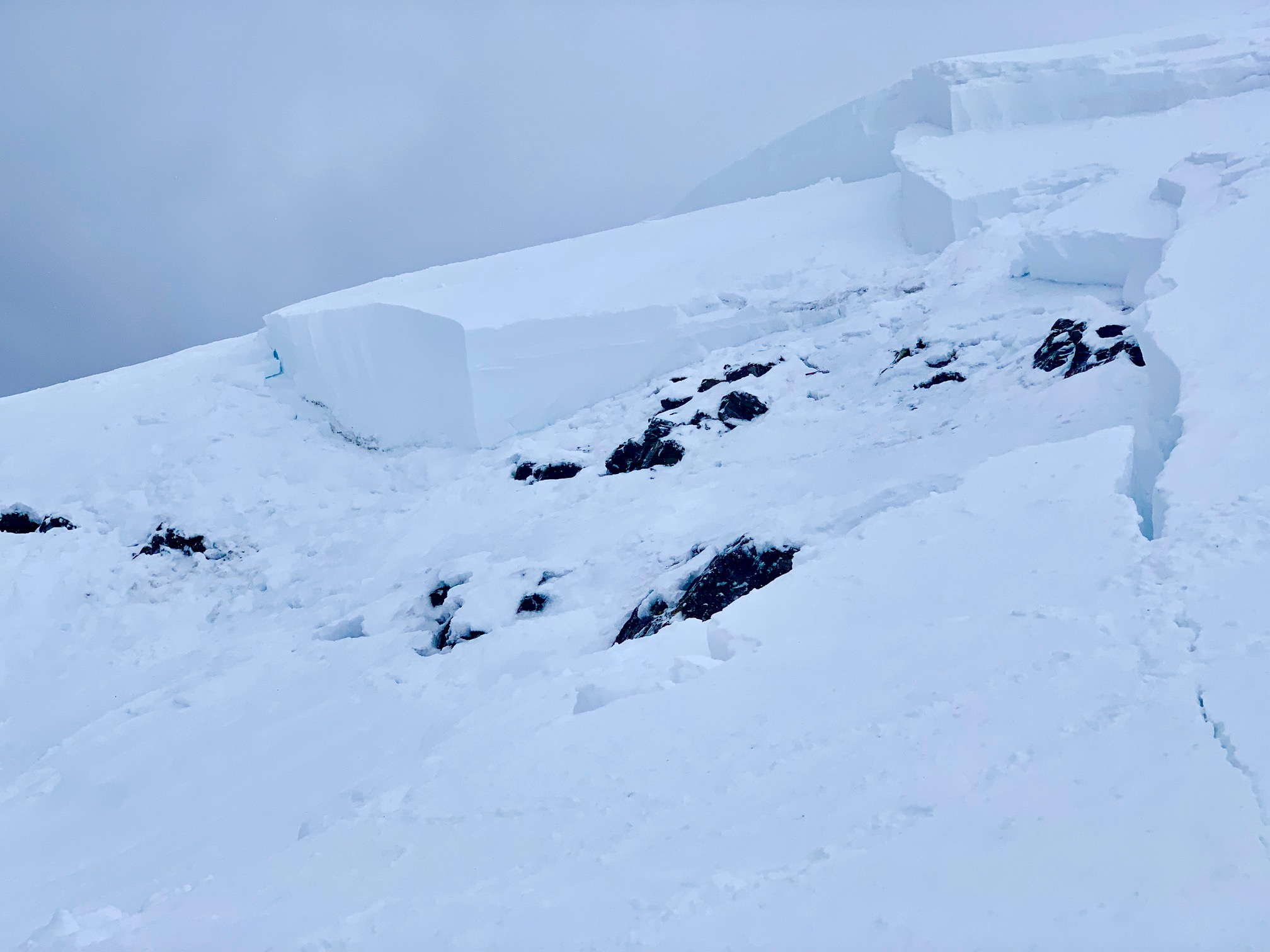
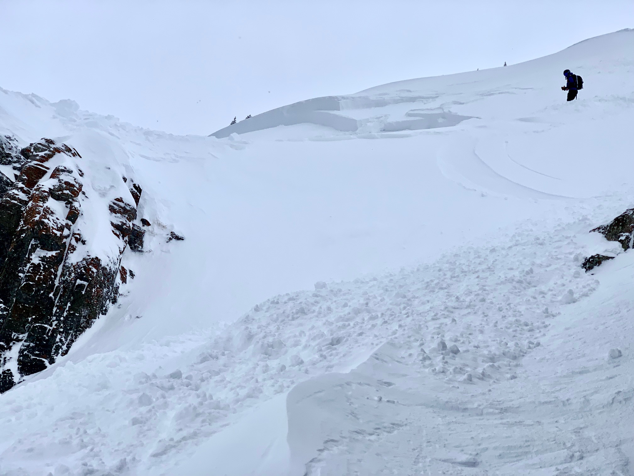
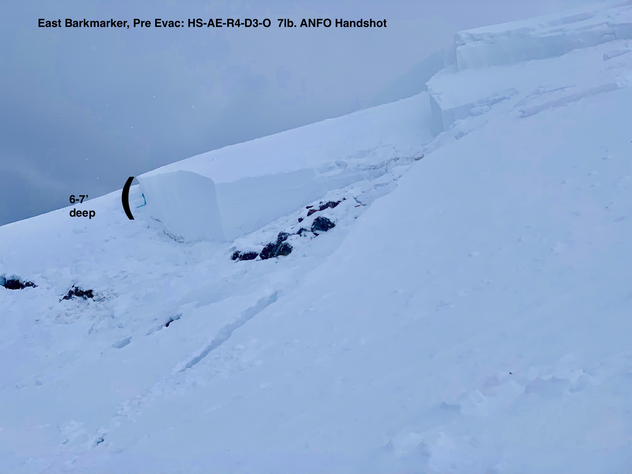
Had our one of our biggest controlled avalanches of the year in Pre-Evac which
sympathetically/remotely set off hollywood and Vine.
n D&D, Not2D, Thornton’s and Thorn’s Glade we were
getting a 10-15cm from the last storm to sluff at a slow rate with ski cuts and hand charges.
Premature Evacuation HS-AE-R4-D3-O FC-11/22 (200cm x 50m x 200m) 7 lb. Handshot with failure on two to three
distinct layers but stepped down near the ground. Pencil hard slab.
Hollywood & Vine HS-ASy-R3-D3-O MF-01/15 (170cm x 50m
Weather: Overcast with S-1 snow becoming S3 in the afternoon. Strong Southerly winds.
Snowpack: Minimal to no signs of instability under foot today, the storm snow set up hard and
supportive with last nights new snow on top. Ski Pen of 10-15cm.
Photos:
Date: 03/10/2019
The Pineapple Express is taking the weekend off, giving us time to dig out and get ready for the next one. We will see some more light snow this morning, then clearing around midday. Orographic showers will linger in the usual higher elevation areas with strong and gusty winds as the overhead jet stream shifts to the Northwest and then eventually back to the West/Southwest. Another low pressure system is lining up over So Cal which looks to bring us snowfall Sunday night into Wednesday. This system looks to favor the Southern Mountains of Colorado, but CB should do pretty well.
High Temperature: 18
Winds/Direction: West/Northwest 10-20 mph G 30’s
Sky Cover: Decreasing clouds
Irwin Snow: 2-4″
Elkton Snow: 0-2″
Friend’s Hut Snow: 0-1″
Low Temperature: 12
Winds/Direction: West 5-15
Sky Cover: Mostly Clear
Irwin Snow: 0-2″
Elkton Snow: 0-1″
Friend’s Hut Snow: 0-1″
High Temperature: 25
Winds/Direction: South 10-15
Sky Cover: Increasing clouds
Irwin Snow: 1-3″
Elkton Snow: 0-2″
Friend’s Hut Snow: 0-2″
Location: Cement Creek Area
Date of Observation: 03/08/2019
Name: Steve Banks
Subject: Taylor Canyon Avalanche
Aspect: North
Elevation: 8,600
Avalanches:
A natural avalanche released on a steep north facing aspect, running approximately 800 vertical and ran into or very close to a roadside cabin.
Weather:
Snowpack:
Photos:

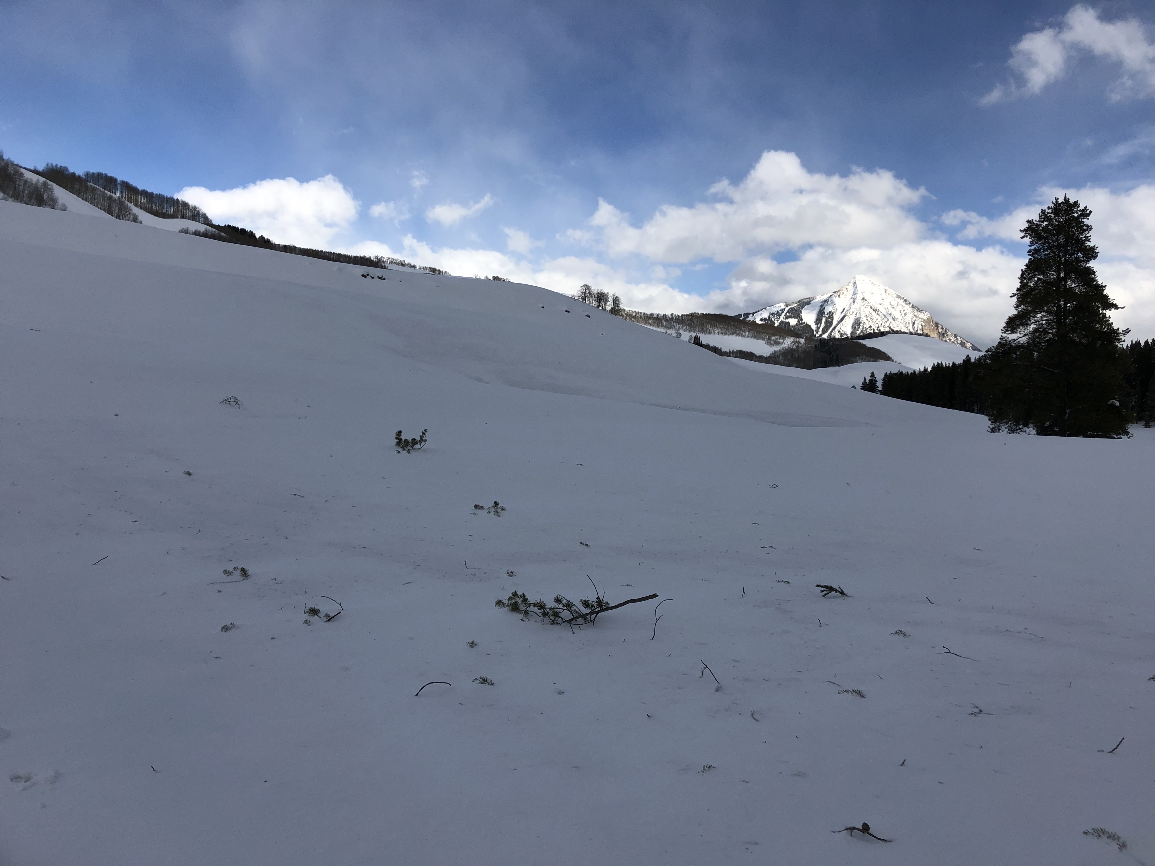
Location: Crested Butte Area
Date of Observation: 03/08/2019
Name: Evan Ross
Subject: View of the Red Lady Bowl Avalanche
Aspect: South East, South
Elevation: 9,300-11,500ft
Avalanches:
Red Lady Bowl ran naturally on Wednesday 3/6. This avalanche is estimated to have run in the 60-80% range of its current potential avalanche path (R4). It was very large and destructive in size (D4). Since this avalanche ran before the peak loading event during the evening of 3/6 and early hours of 3/7, much of the crown and debris had filled back in with snow by the time this observation was made on 3/8. The deepest part of the crown observed today appeared to be in the 10 to 15 foot range. The crown width was estimated to be 4,700ft wide. Avalanche debris ran for about 3,000 vertical feet. As those debris ran through the avalanche path they pulled out a couple additional avalanches on the flanks for the avalanche path. The highest elevation of the crown was about 12,300ft in elevation. Red Lady Bowl on Mt Emmos is a southeast facing terrain feature. The crown spanned from east to southeast to south aspects.
Weather: Overcast with a few light snow showers. Light winds with some drifting at the upper elevations we traveled. Difficult to observe the extent of current wind loading at higher and more open elevations.
Snowpack: Moist and thick snow surfaces below 10,000ft. Traveled on southeasterly facing terrain at the lower end of avalanche terrain with no obvious sings to instability.
Photos:


Date: 03/08/2019
While yesterday’s snowfall fell short of expectations, fear not as more snow is on the way. The Crested Butte area received 4-6” of new snow last night and a very convective and spring like storm is moving in today. Expect snow and wind to fluctuate throughout the day with heavy snow and graupel at times and even the possibility of some thunder. The heaviest snowfall could hold off until around sunset. Tonight temperatures will drop off and a Northwest flow will drive continued orographic snowfall over the Kebler Pass and Paradise Divide areas. A wobbley closed low comes into play next week which will push more snowfall into the area, but the exact track and snowfall is yet to be determined.
High Temperature: 28
Winds/Direction: Southwest 15-25 G40’s
Sky Cover: Overcast
Irwin Snow: 7-10″
Elkton Snow: 6-8″
Friend’s Hut Snow: 2-5″
Low Temperature: 10
Winds/Direction: 10-20 mph
Sky Cover: Overcast
Irwin Snow: 2-5″
Elkton Snow: 1-3″
Friend’s Hut Snow: 1-3″
High Temperature: 20
Winds/Direction: 10-20
Sky Cover: Mostly Cloudy
Irwin Snow: 1-3″
Elkton Snow: 0-2″
Friend’s Hut Snow: 0-2″
Location: Crested Butte Area
Date of Observation: 03/07/2019
Name: Christie Hicks
Subject: Climax Chutes Pics
Aspect: North, North East
Elevation: 10000
Avalanches:
Weather: Overcast
Snowpack: Took a jaunt out beyond the Slate River Trailhead to investigate a report that Mike’s Mile was buried by a big avy from the Climax Chutes. Here are some pics from the slide. No buried outhouses, but close. The pics with what look like dirt streaks and small branches were on the Slate River Road and look to be from the avalanche plume.
Photos:
Location: Crested Butte Area
Date of Observation: 03/07/2019
Name: Alex Tiberio
Subject: Avalanche on NW aspect above copper creek
Aspect: North West
Elevation: 10,500
Avalanches:
A large slide ran on Red Rock, can’t see how far it ran but looks like it took out some trees
Weather: Snow showers with wind
Snowpack: Super dense storm snow. Heaviest snow I’ve shoveled this winter ski penetration only a few inches
Photos:
Location: Cement Creek Area
Date of Observation: 03/07/2019
Name: Rob Strickland
Subject: Things I’ve never seen
Aspect: North
Elevation:
Avalanches:
some point release from steeps near Top of the World
Weather: squalls
Snowpack: … it appears that the high winds rolled the snow into those cinnamon buns we often see in the spring… but these were rolled purely by wind, not gravity. Most of them were softball sized, but one was bigger than a basketball! Whoa!!
Photos:
