Date of Observation: 03/12/2023
Name: Evan Ross
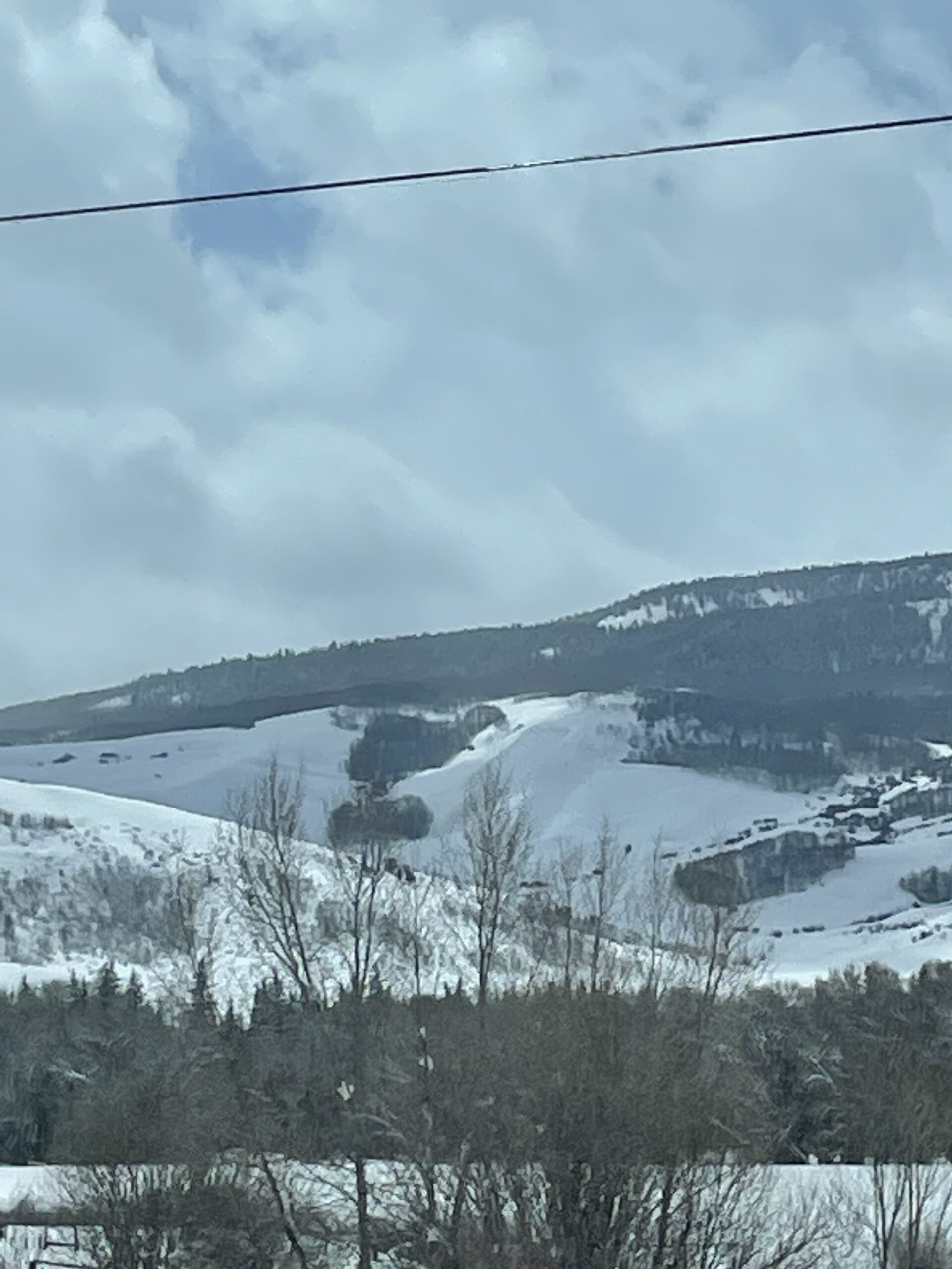
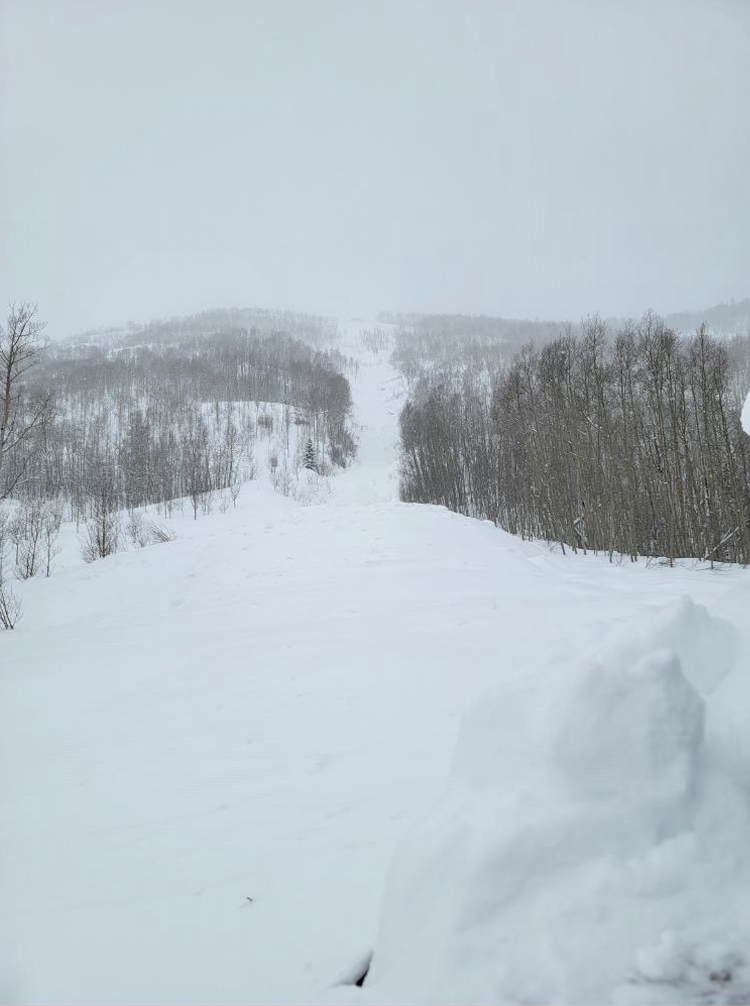
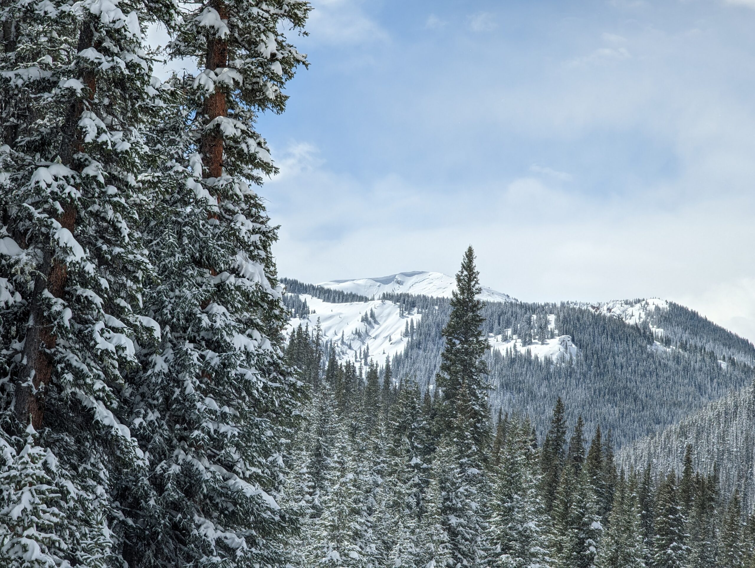
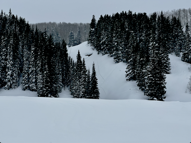
Zone: Southeast Mountains
Route Description: Mt Emmons. 9,000 to 10,200. W-NE-E. BTL
Observed avalanche activity: Yes
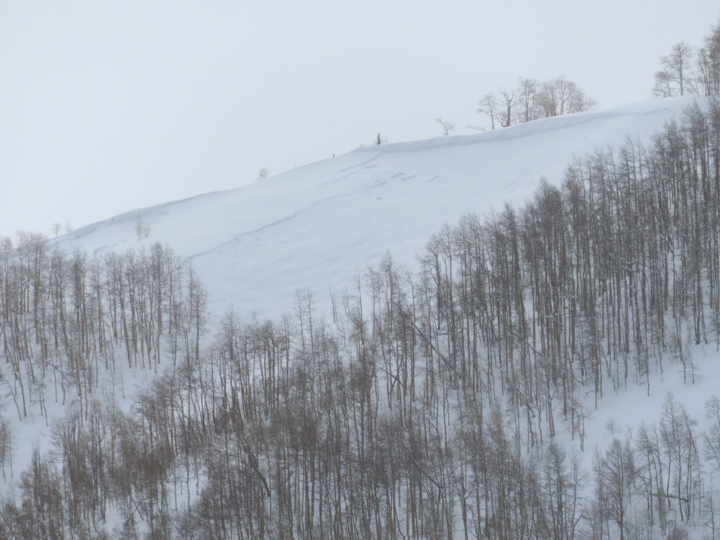
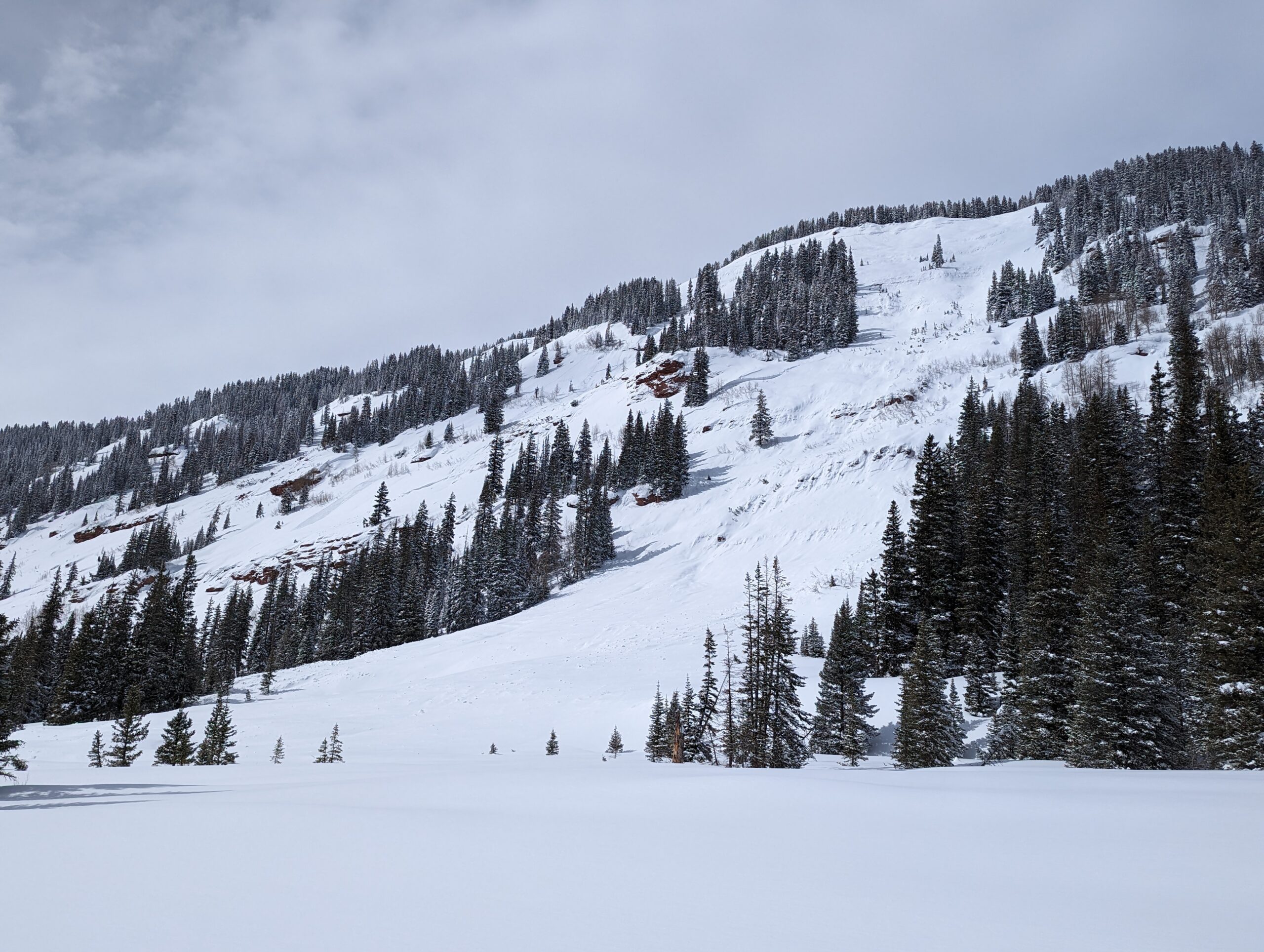
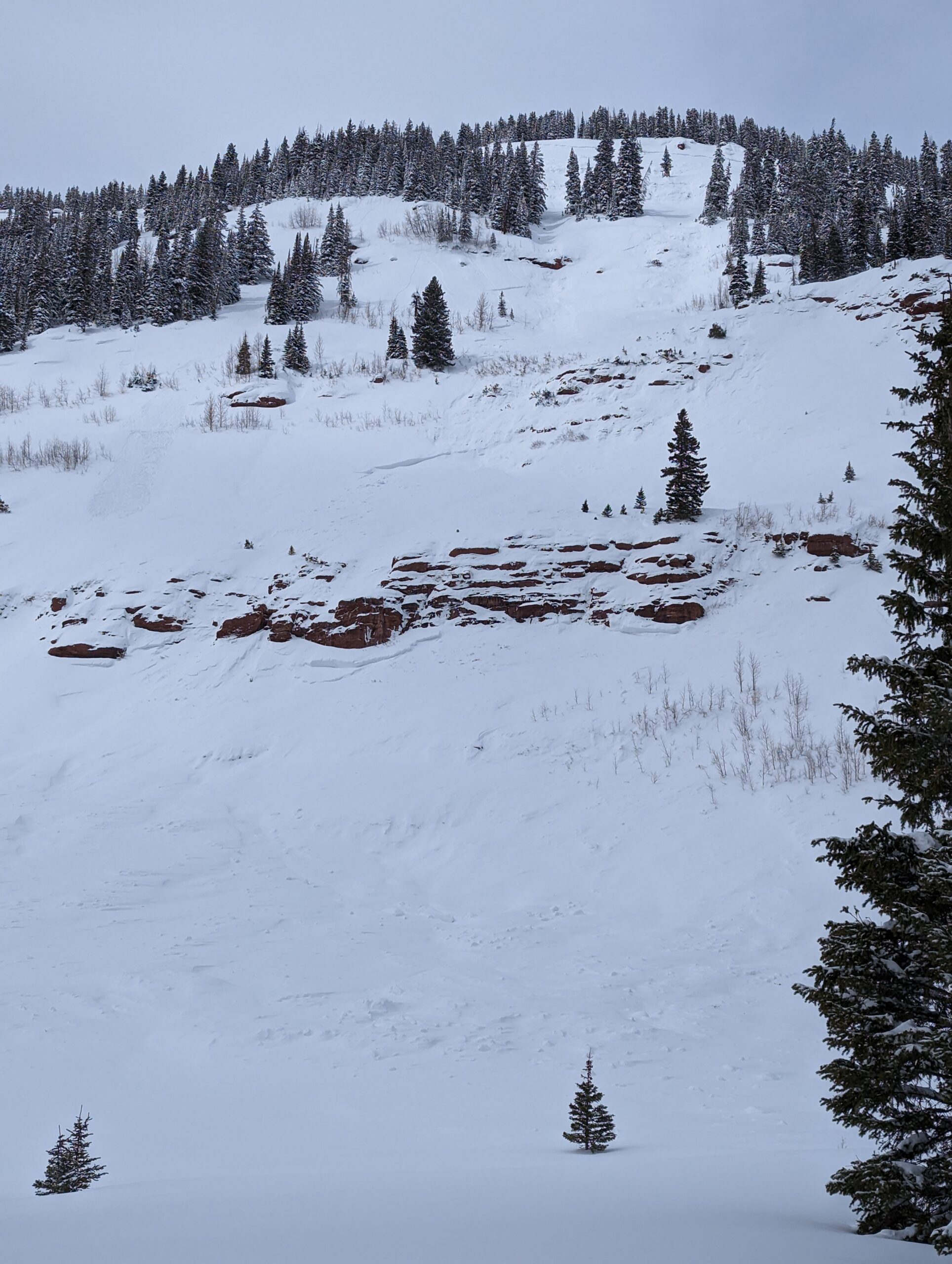
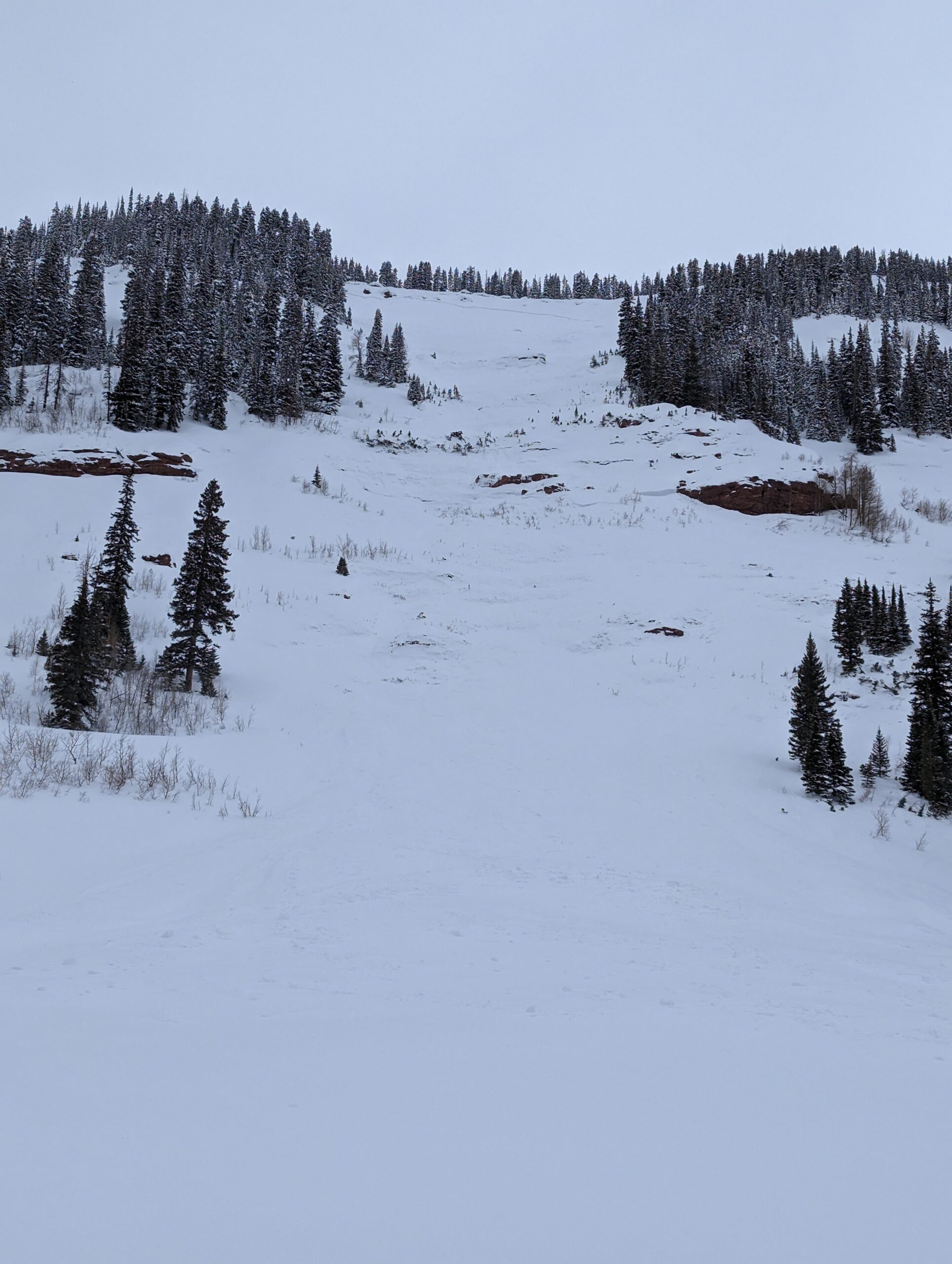
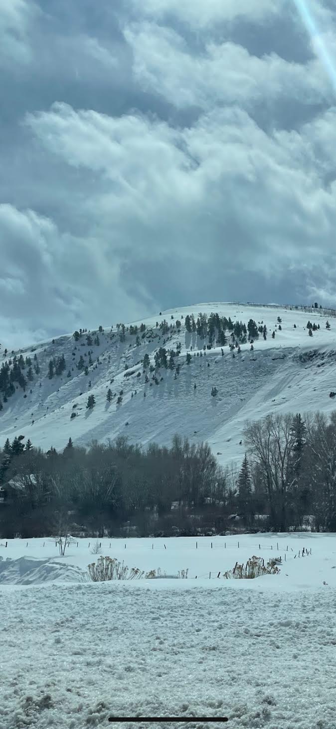
Avalanches: 3 to 4 D2’s in the Climax Chutes and a few smaller avalanches. These all likely ran early Saturday morning. Couldn’t see any crowns in the start zones, so assuming they were storm slabs that entrained snow.
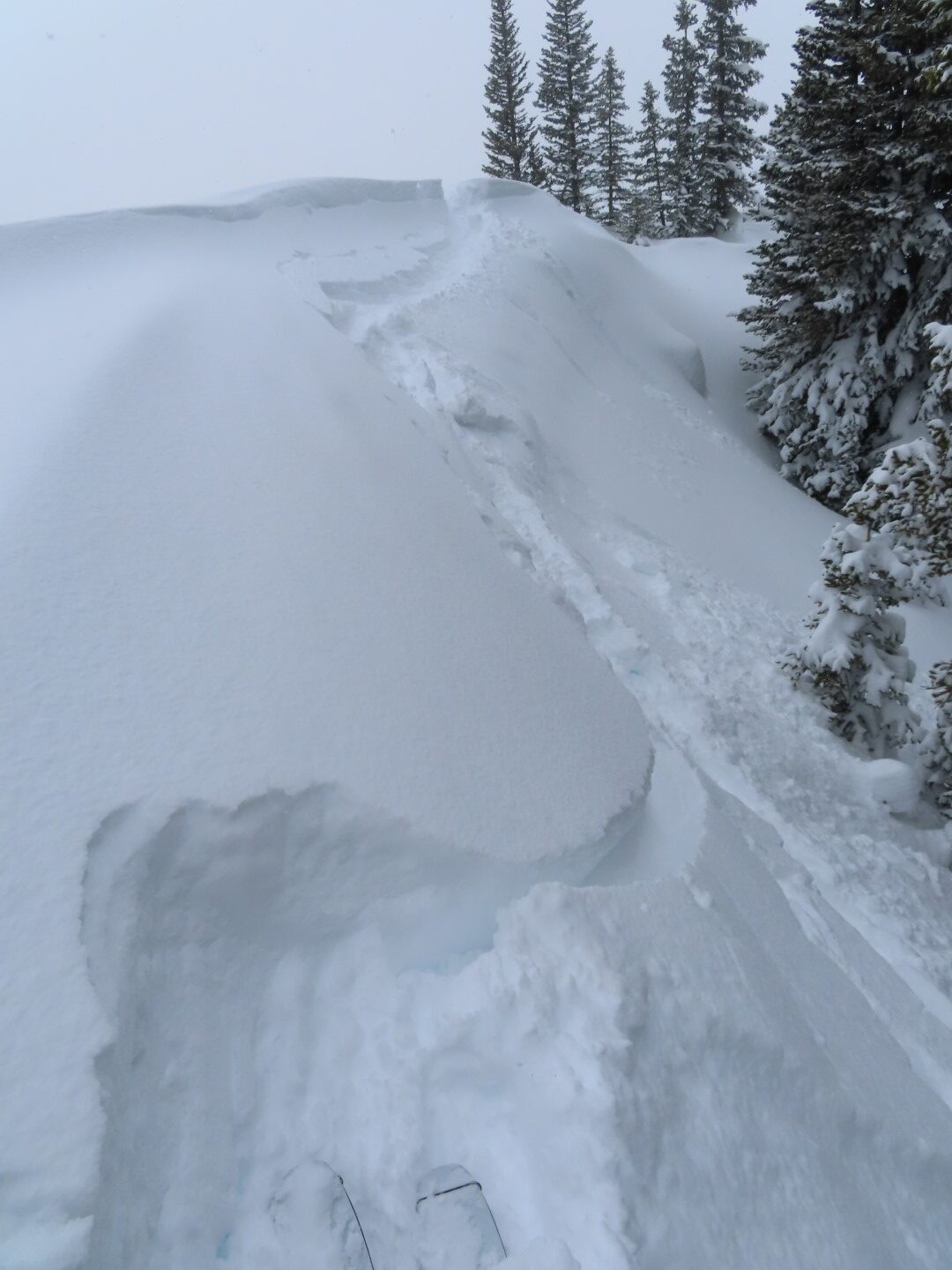
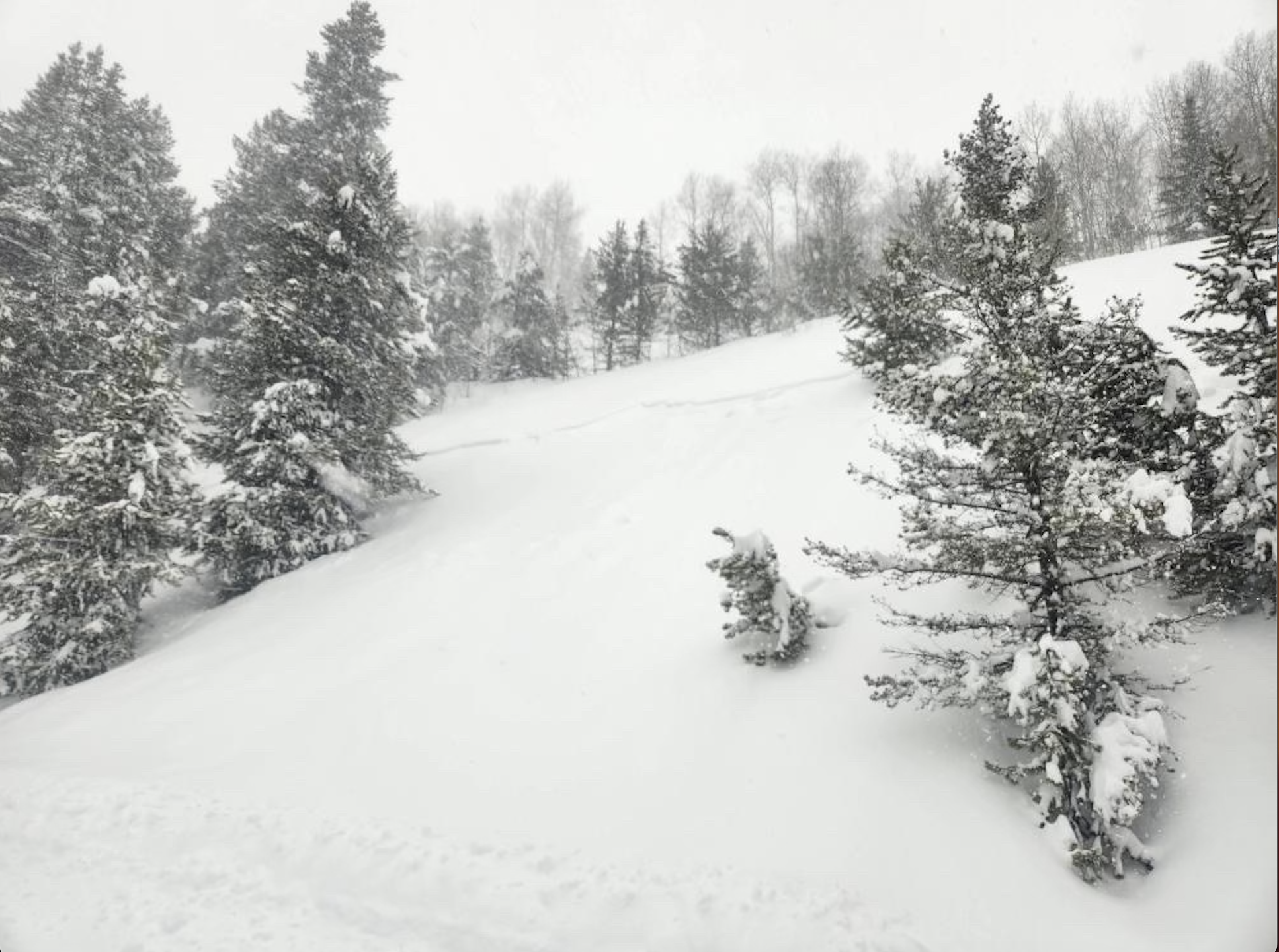
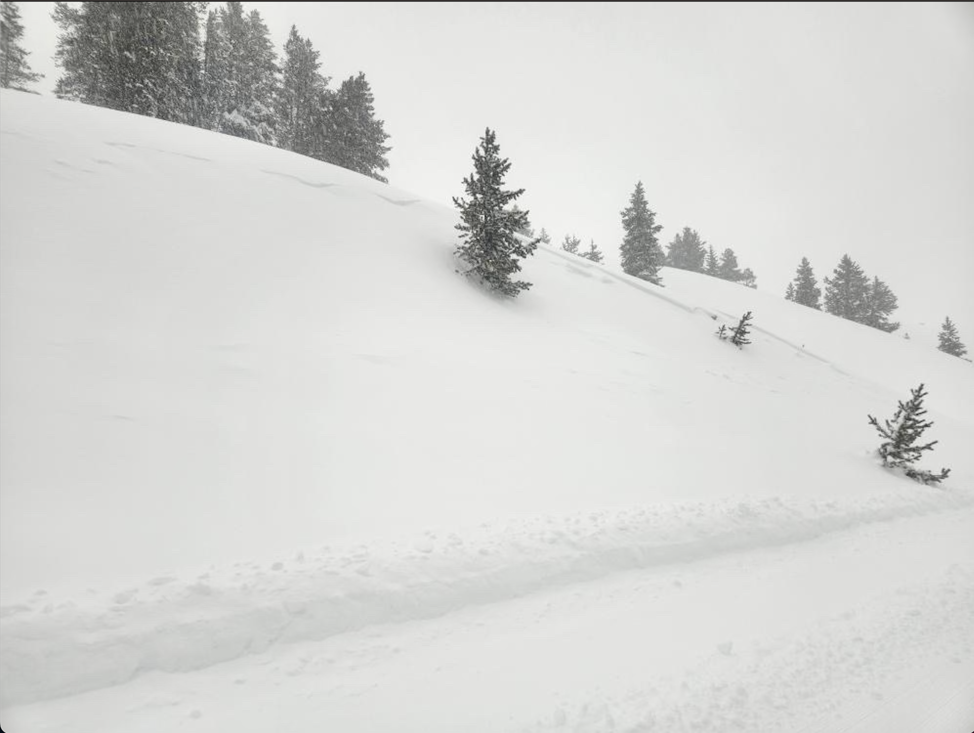
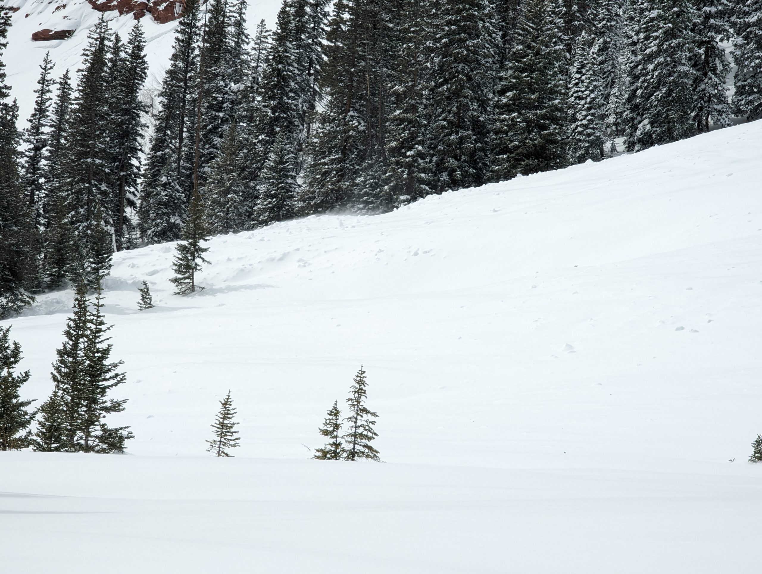
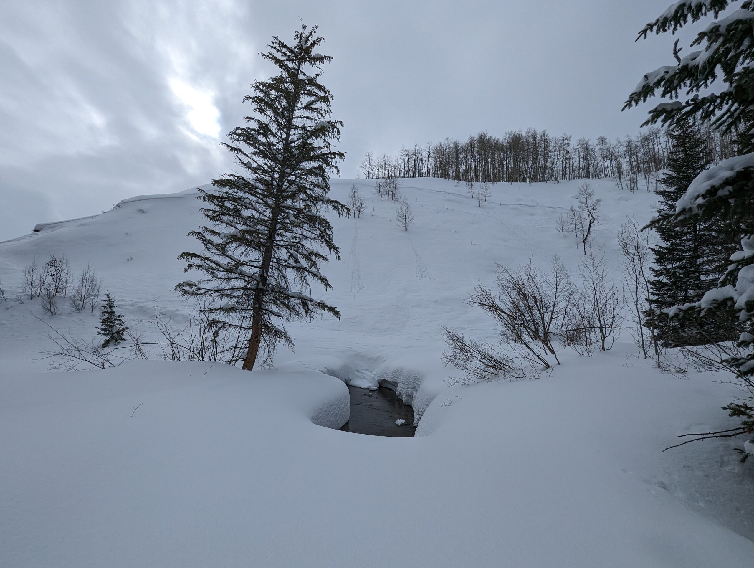
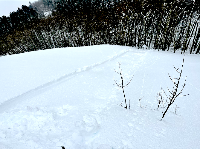
A couple of small point releases today on various aspects.
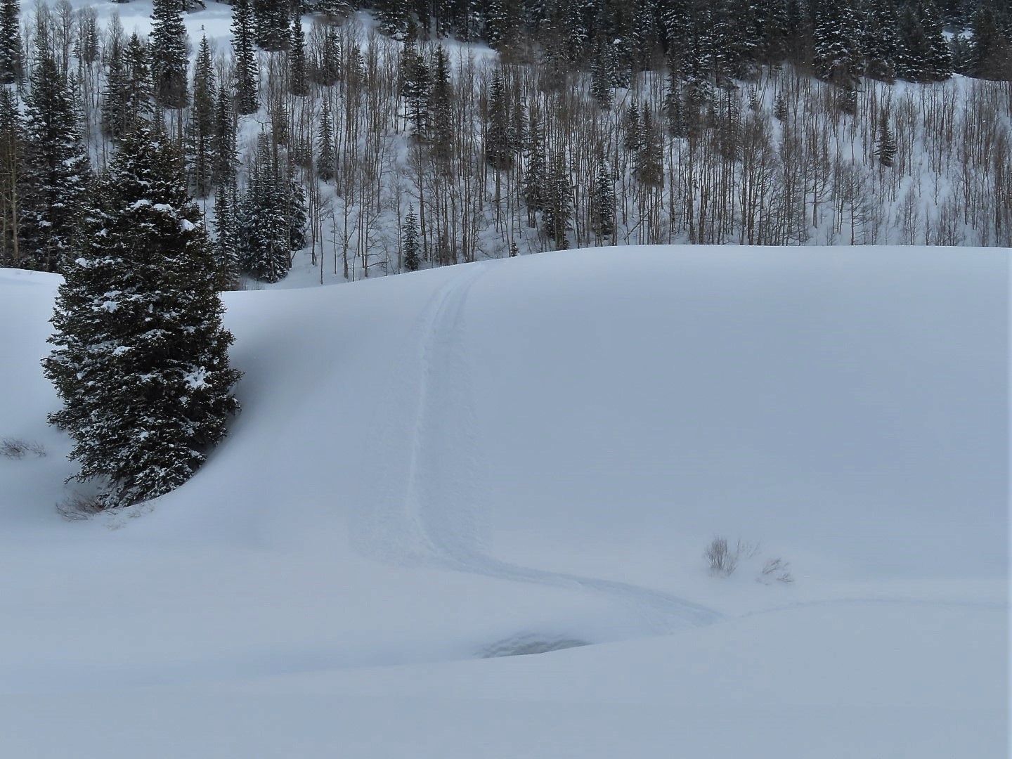
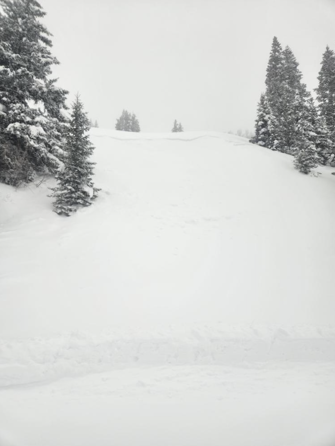
Weather: Mostly cloudy. Calm wind. Up to 2″ of new snow in the afternoon.
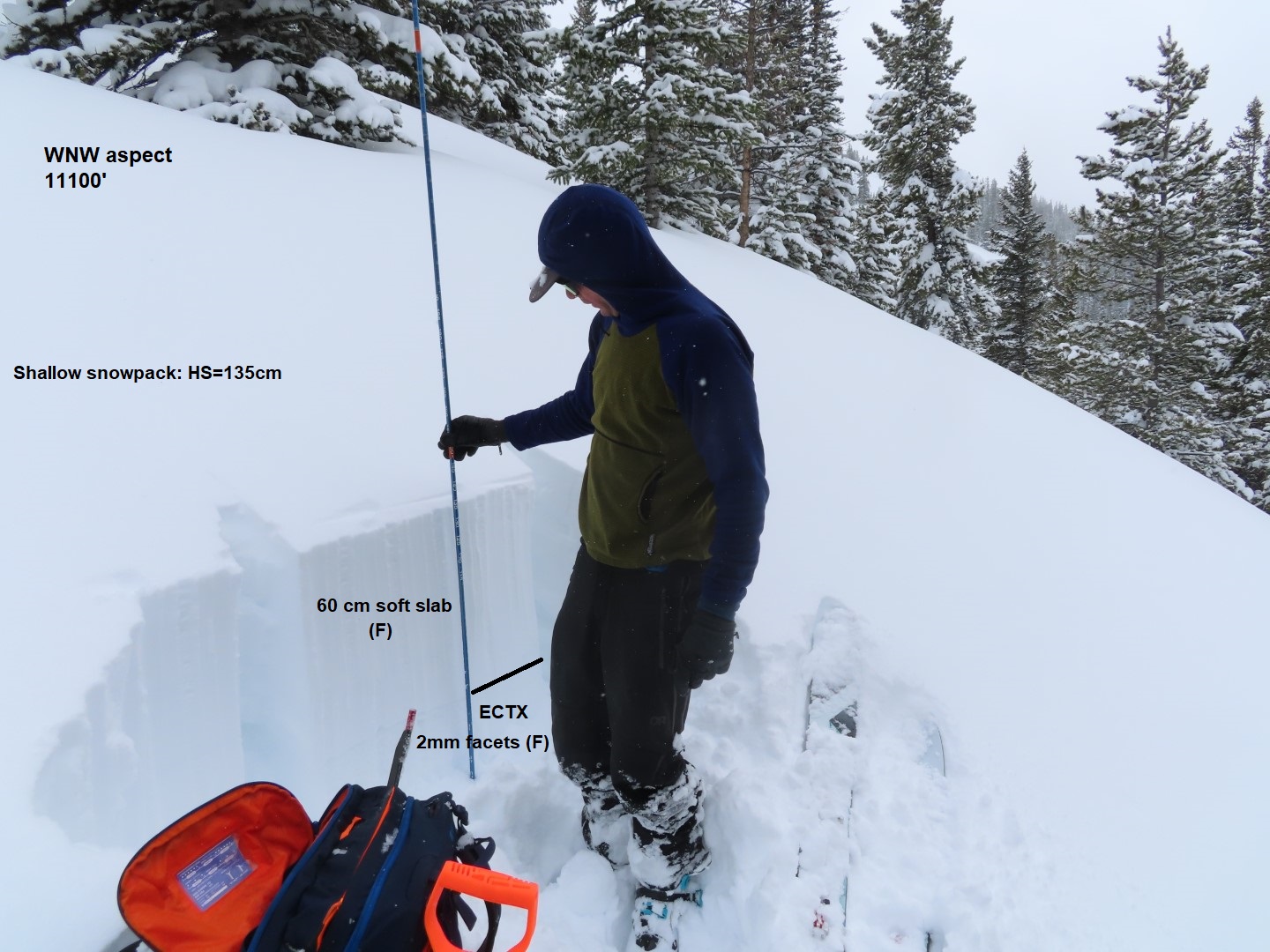
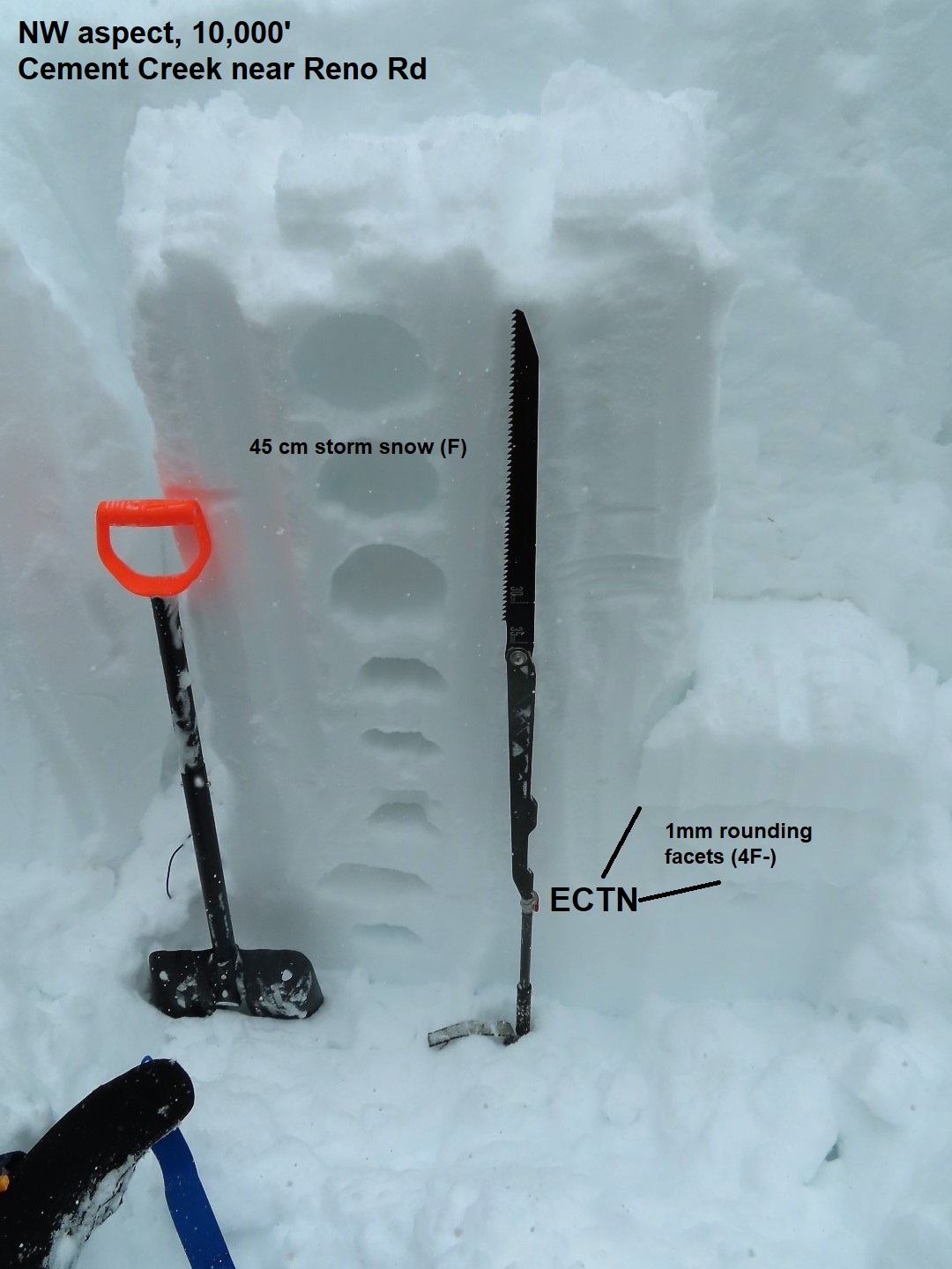
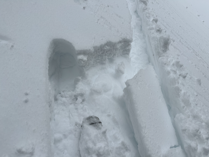
Snowpack: We didn’t find any signs of instability on this lower-elevation tour. Lots of settlement from yesterday, and yesterday’s crust that formed around most of the compass, appeared to have killed the storm slab problem in this location. A couple of small point-release avalanches that ran today in the climax chutes, and on a NE-facing slope at 10,400ft didn’t propagate in the storm snow. We did 1 ECT test at 9,600ft, NE aspect, 35-degree slope, and got ECTN results in the storm snow and at the old snow interface.
HST on yesterday’s crust was 4″ down low and 6″ at 10,200ft.
We ran into the Gunsight Moose on the descent. The Moose was hanging out on GB loop.
Estimated avalanche date: 03/11/2023
Number of Avalanches: 3
Location
Location: Mount Emmons
Location Specific:
Start Zone Elevation: BTL: Below Tree Line
Aspect: NE
Characteristics
Trigger: Natural
Trigger modifier:
Type: Soft Slab
Failure Plane: Unknown
Size
Relative Size: R3 medium
Destructive Size: D2 – could bury, injure, or kill a person
Avg. crown height (inches):
Avg. width (feet):
Avg. vertical run (feet):
Involvements
# of people caught:
# of partial burials:
# of full burials:
Additional comments: 3 to 4 D2’s in the Climax Chutes and a few smaller avalanches. These all likely ran early Saturday morning. Couldn’t see any crowns in the start zones, so assuming they were storm slabs that entrained snow.
6098