Scarp Ridge/Independence Basin

CB Avalanche Center2019-20 Observations

Location: Kebler Pass Area
Date of Observation: 12/24/2019
Name: Ian Havlick

Subject: Scarp Ridge/Independence Basin

Aspect: East, South East, South, South West, West

Elevation: 10-12,200

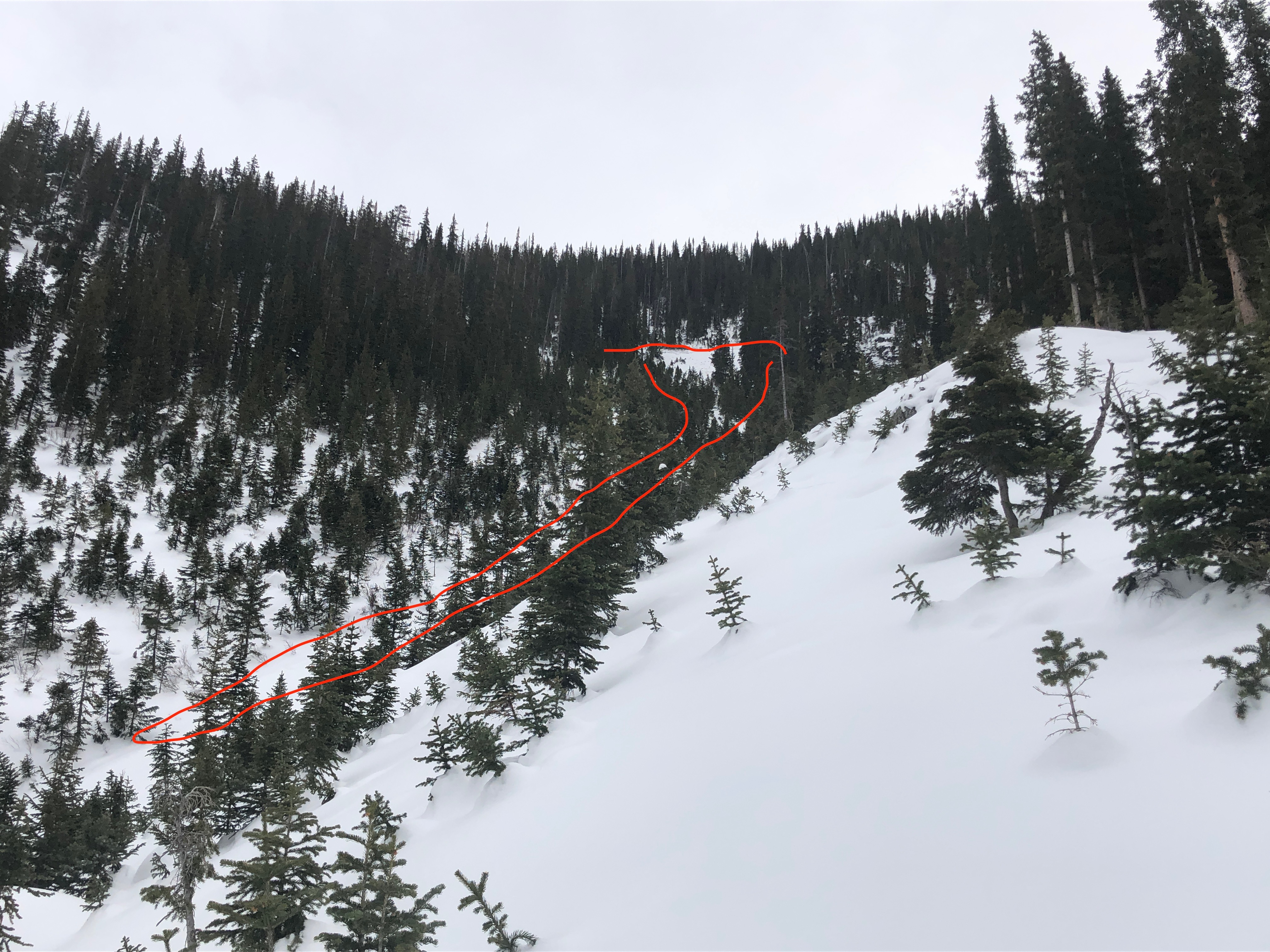
Avalanches: No new avalanches. Some minor dry loose and wet loose sluffs from rocks in extreme terrain over the last several days.

Weather: Mostly clear skies for morning with gradually increasing high and mid level clouds throughout afternoon. calm winds on ridgeline and mild, baselayer temps.

Snowpack: No tests performed, no real layers on concern in terrain traveled. Overlying slab continues to erode and facet, diminishing a more defined PSa structure. mixture of <1mm surface facets, preserved nicely from skiff of snow we received overnight/early this morning. Generally pleasant cold, dry snow found on low angled aspects traveled.


Mountain Weather for 11,000ft

CB Avalanche CenterWeather

Date: 12/24/2019

The Christmas storm is now at our doorstep. A trough has made it’s way inland across California and will send moisture and precipitation to the Crested Butte area today and Wednesday. Snow is already falling on Irwin and CBMR cams this morning. Expect snowfall to remain light and showery today with minimal accumulations. The strongest period of snowfall will happen tonight after sunset and continue into Wednesday morning; anticipate most of the accumulating snowfall to pile up during this period but light snow should continue through sunset on Christmas. Southwesterly winds during this period look reasonable yet strong enough to drift the new snow at ridgetops onto leeward terrain.
The closed low-pressure system mentioned the past few days should reach the Four Corners areas on Friday, but the track and impact of this system are a bit uncertain. Systems like this are generally not big producers for the Crested Butte area, but at least the pattern will remain active into the weekend and offer additional opportunities for snowfall.

  • Today

    High Temperature: 28 to 32
    Winds/Direction: 5 to 15, SW
    Sky Cover: Overcast
    Irwin Snow: 0 to 2
    Elkton Snow: 0 to 2
    Friend’s Hut Snow: 0 to 1

  • Tonight

    Low Temperature: 15 to 19
    Winds/Direction: 10 to 20, SSW
    Sky Cover: Overcast
    Irwin Snow: 4 to 7
    Elkton Snow: 4 to 7
    Friend’s Hut Snow: 3 to 6

  • Tomorrow

    High Temperature: 23 to 27
    Winds/Direction: 8 to 18, WSW
    Sky Cover: Overcast
    Irwin Snow: 2 to 4
    Elkton Snow: 2 to 4
    Friend’s Hut Snow: 1 to 3

Kebler Pass area PM zip around

CB Avalanche Center2019-20 Observations

Location: Kebler Pass Area
Date of Observation: 12/23/2019
Name: Zack Kinler & Eric Murrow

Subject: Kebler Pass area PM zip around

Aspect: North, North East, East, South East, South, South West, West, North West

Elevation: 9200′- 12000′
Avalanches: nothing recent to note. Found one unreported D2.5 on an east aspect of Oh-be-joyful Peak – east aspect above treeline. Likely failed around 12/14

Weather: Mild air temperatures and very light winds at ridgetop at 12k, like pleasant enough to not wear gloves on Scarps ridge. Clouds were on the increase and thickening to overcast by 4pm.

Snowpack: Went to take a look at snow surfaces around the area before the incoming storm. Significant Surface Hoar was present at the lowest elevations in inversion zones, but speaking with folks who toured in the Anthracites it was not present once out of the cold sinks at valley bottom. Shaded slopes in the town of CB had 1cm Surface Hoar. Melt/freeze crusts have developed on south aspects up to 12k, around 2.5cm thick. As you transition east or west these crusts taper off in thickness quickly.
Poked a quick hole into a drifted south-facing slope at 11900′. Here the snowpack was surprisingly dense and supportive. Largely a stack of crusts and slabs, with light faceting underneath and above the crusts. See photo. No test results to note but while hammering on an ECT after standard loading steps I was able to produce a propagating result below the 12/12 crust but my hand sure hurts.


Photos:

Weak Snowpack

CB Avalanche Center2019-20 Observations

Location: Crested Butte Area
Date of Observation: 12/23/2019
Name: Colorado BC AIARE L1
Subject: Weak Snowpack
Aspect: North East, East
Elevation: 9,800-10,900
Weather: Overcast sky, calm winds, high temperature near freezing.

Snowpack: Shallow snowpack about 60-80cm deep. Soft weak snow surface, over a mid-pack slab, over more very weak faceted snow at the ground. No obvious signs of instability. Surface Hoar down in the valley, but not up higher in the bowl. The wind had previously loaded snow over the ridge and into the ENE bowl. While down-valley winds had cross-loaded a few terrains features a lower elevations. Wall to wall tracks in the terrain, also covering the steeper or loaded terrain features.

Mount Emmons-Redwell

CB Avalanche Center2019-20 Observations

Location: Crested Butte Area
Date of Observation: 12/22/2019
Name: Ian Havlick

Subject: Mount Emmons-Redwell

Aspect: North, North East, South, South West, West, North West

Elevation: 9-12,000

Avalanches: Lots of evidence of old avalanches from the Dec 14-15th cycle in steep terrain all elevations. no recent activity.

Weather: Overcast skies, calm winds and mild temperatures at all elevations traveled. Base layer skinning up and down.

Snowpack: Targeted steeper, northerly terrain to check snow and go to the bullseye of the persistent slab structure. Structure is there, but did not find concerning, reactive or lively persistent slab structure 7 days after last load. The snowpack in the terrain traveled has faceted a ton (20cm) in surface, especially in below tree line northerly terrain where the snowpack is nearly bottomless facets, but not quite to the point of dry loose sluffing, even in terrain 40º steeper. Slabs above treeline still hold 1F hardness slabs above 2-3mm facets near the ground, and failed with moderate taps near the ground. Snow depths varied from ~100cm in Redwell Basin, to 60cm below treeline.

Photos:

Mountain Weather for 11,000ft

CB Avalanche CenterWeather

Date: 12/23/2019

Clouds and mild air will continue to push into the area today in front of a trough centered off the coast of California. This next system will slowly slide eastward towards Colorado today and tomorrow. Cloud cover should thicken and temperatures will likely rise by a few degrees compared to yesterday.
The next system is expected to arrive on Tuesday evening putting Crested Butte under southwest flow. The San Juans, Grand Mesa, and West Elks look to do best with this storm, but Crested Butte will get in on the action as well, but will limited snowfall totals. The best chance of accumulating snowfall will be late Tuesday evening through Christmas morning and taper off after that. Snow totals are not looking impressive but should give our area a little refresh. Look for more detailed snowfall numbers tomorrow.
A closed low-pressure is scheduled to arrive sometime around Thursday but the exact track and timing of this weather producer remain a bit uncertain. The good news is that the pattern looks to remain through the end of the week.

  • Today

    High Temperature: 33 to 37
    Winds/Direction: 5 to 15, S
    Sky Cover: Mostly Cloudy
    Irwin Snow: 0
    Elkton Snow: 0
    Friend’s Hut Snow: 0

  • Tonight

    Low Temperature: 18 to 22
    Winds/Direction: 3 to 13, S
    Sky Cover: Mostly Cloudy
    Irwin Snow: 0
    Elkton Snow: 0
    Friend’s Hut Snow: 0

  • Tomorrow

    High Temperature: 27 to 31
    Winds/Direction: 5 to 15, S
    Sky Cover: Mostly Cloudy
    Irwin Snow: 0 to 1
    Elkton Snow: 0 to 1
    Friend’s Hut Snow: 0 to 1

Snodgrass

CB Avalanche Center2019-20 Observations

Location: Crested Butte Area
Date of Observation: 12/22/2019
Name: Eric Murrow

Subject: Snodgrass

Aspect: North East, East, South East, South

Elevation: 9500′-11100′
Avalanches: Several very small wet loose avalanches on south aspects near and above treeline. I would guess from yesterday, the first warming of sunny slopes since our last storm.

Weather: Mostly cloudy skies with mild temperatures and almost no wind while traveling below treeline.

Snowpack: Southerly slopes below treeline became moist in the top few cms by around noon.

Traveled across the top of snodgrass, peering down into northerly facing, below treeline terrain. Did not see any recent avalanche activity from our last storm. Snow surfaces on shaded terrain had patchy, small surface hoar. HS from 10500′ to 11100′ was around 85cm (see profile). Boot pen was occasionally to ground, but often the slab was strong enough to support my weight. Booted and stomped with skis above the top of several intact start zones without any results. Snowpack was quiet through this terrain with no signs of instability even with obvious strong over weak structure. Riding conditions were supportive and surfy.


Photos:

Mountain Weather for 11,000ft

CB Avalanche CenterWeather

Date: 12/22/2019

That pesky ridge of high pressure will slowly ooze its way to the east today as we will find ourselves on the western side of the ridge axis. This will mean some high-level clouds will spill into the area today with warmer air as well. The clouds and warmer air will help to erode the nasty, frigid inverted temperatures we have been experiencing for the past few days. Temperatures will remain cold, near or below 0, this morning for valley bottoms, but will continue to be downright pleasant at middle and upper elevations. Expect Sunday and Monday to produce similar weather with a change coming late on Monday into Tuesday.
The next opportunity for the area to pick up accumulating snowfall looks to be later in the day on Tuesday and carry into Christmas on Wednesday. A more active pattern will set up for the rest of the week, but models are not pointing towards impressive precipitation totals. The bottom line will be two more days of insignificant weather with warming temperatures and a chance at several modest storms for the rest of the week. Waking up to a power day on Christmas sure would be a great present.

  • Today

    High Temperature: 30 to 34
    Winds/Direction: 2 to 12, SW
    Sky Cover: Mostly Cloudy
    Irwin Snow: 0
    Elkton Snow: 0
    Friend’s Hut Snow: 0

  • Tonight

    Low Temperature: 21 to 25
    Winds/Direction: 3 to 13, SSW
    Sky Cover: Mostly Cloudy
    Irwin Snow: 0
    Elkton Snow: 0
    Friend’s Hut Snow: 0

  • Tomorrow

    High Temperature: 32 to 36
    Winds/Direction: 5 to 15, S
    Sky Cover: Mostly Cloudy
    Irwin Snow: 0
    Elkton Snow: 0
    Friend’s Hut Snow: 0

Coneys

CB Avalanche Center2019-20 Observations

Location: Paradise Divide Area
Date of Observation: 12/22/2019
Name: Emma Vosburg

Subject: Coneys

Aspect: East

Elevation: 10,900

Weather: 18 and sunny no wind

Snowpack: Dug a pit at the top of coneys. Did an extended column test and no fractures at all. Snow was soft and no crust developed yet

Mountain Weather for 11,000ft

CB Avalanche CenterWeather

Date: 12/21/2019

Sub-zero temperatures might slow your motivation this morning, but push through and get out above the stubborn valley inversions to above-average temperatures at higher elevations today. This week’s long-lived ridge of high pressure will slowly track overhead today, with scattered clouds later in the day. Winds remain calm, and temperatures climbing into the mid-30s above the valley floor. Looking into next week, the ridge gets pushed out and more snow looks possible, however, quite a bit of uncertainty with this storm track at the moment. Rudolph will need his red nose potentially for Christmas.

  • Today

    High Temperature: 32-37
    Winds/Direction: 5-15/WSW
    Sky Cover: Partly Cloudy
    Irwin Snow: 0
    Elkton Snow: 0
    Friend’s Hut Snow: 0

  • Tonight

    Low Temperature: 20-25
    Winds/Direction: 5-15/SW
    Sky Cover: Partly Cloudy
    Irwin Snow: 0
    Elkton Snow: 0
    Friend’s Hut Snow: 0

  • Tomorrow

    High Temperature: 35-40
    Winds/Direction: 5-15/WSW
    Sky Cover: Mostly Clear
    Irwin Snow: 0
    Elkton Snow: 0
    Friend’s Hut Snow: 0