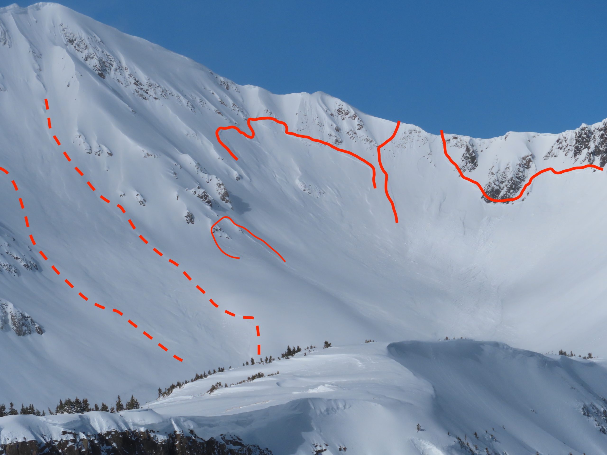
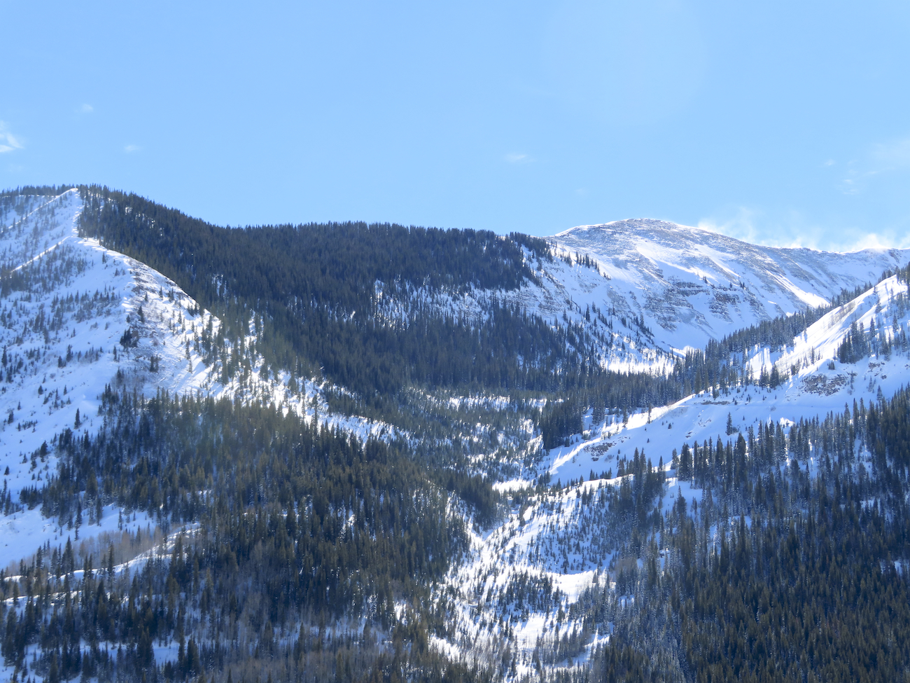
Mt. Emmons

CB Avalanche Center2019-20 Observations

Location: Crested Butte Area
Date of Observation: 02/10/2020
Name: ADB
Subject: Mt. Emmons
Aspect: South East, South, South West
Elevation: ATL, BTL, NTL

Avalanches: Due to poor visibility, I could not observe any avalanches

Weather: Light to calm winds BTL. S1 snowfall for the tour. NTL and ATL: moderate to strong winds with copious amounts of snow cross-loading Red Lady Bowl. Obscured skies. Blustery on the south and summit ridge. Temperatures were warm enough that removing skins could be done calmly despite the strong winds.

Snowpack: 2 to 4 inches of new snow in last 24 hours. BTL skin track had 1 cm (<0.5 inches) of new snow, while skin track at NTL was filled in with 5 cm (2 inches) of wind transported snow. Thanks Dawn Patrol crew!!
Snow in red glades was silky smooth as skis didn’t touch the weekend’s sun crust.

Brush Creek To Friends Hut

CB Avalanche Center2019-20 Observations

Location: Brush Creek Area
Date of Observation: 02/10/2020
Name: Evan Ross
Subject: Brush Creek To Friends Hut
Elevation: 9,000-11,500

Avalanches: A few recent small slab avalanches were seen on northerly facing slopes in the lower Brush Creek Area. The common theme with these is that they had some form of wind-loading. Visibility became more limited in Upper Brush Creek. The only avalanche observed making it to the valley bottom was D2 in size and initiated on E-SE NTL terrain at 11,500ft. Other terrain such as Carbonate Hill and Star Peak never came into view.

Weather: Mostly Cloudy to Obscured Sky. S-1 to S1 snowfall that was on and off Sunday and Monday. Mostly light winds down in the valley, but the tops of trees were swaying and stronger winds could be heard at upper elevations.

Snowpack: Lower Brush Creek still holds a shallow snowpack that saw little change in conditions with last weeks big storm. Potential avalanche problems are isolated in the terrain. For Lower Brush Creek the best places to find an avalanche problem looked to be on NW to N to NE facing slopes.

Traveling into Upper Brush Creek and getting to valley elevations above 10,300ft, that is were the snowpack started to take shape and was more similar looking to the snowpack found in the Crested Butte Area. About 6 to 7″ of new snow had accumulated in this area between Saturday and Sunday AM. HS increased over 120cm and gained with elevation. Near the Friends Hut the HS was about 150cm.

No obvious signs to instability were observed. Though we were traveling on the valley bottom and never entered Avalanche Terrain.
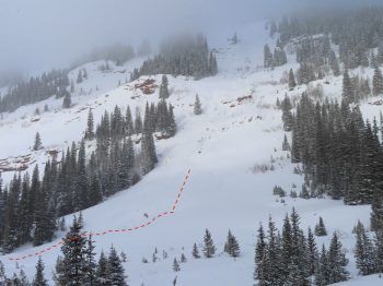
Bottom edge of avalanche debris seen in Upper Brush Creek
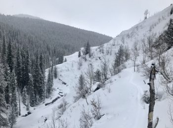
Death Pass with a small slab visible in the distance. East was zapped by the sun, while NE tilted portions of the slope held a more concerning snowpack structure especially where further wind-loaded.


Gothic snow obs

CB Avalanche Center2019-20 Observations

Location: Paradise Divide Area
Date of Observation: 02/10/2020
Name: Billy
Subject: Gothic snow obs

Weather: It snowed most of Sunday and put down 1″ of new snow, then strong wind during the night but once that stopped snowfall picked up with 3″ new and a much lighter 0.16″ of water. The 24 (well, 23 hour so far) total was 4″ new snow and 0.26″ water. Currently overcast and calm with barely a light snowfall. Moderate temperature with the low 19 and current 20F. Looks to be 36″ on the ground but difficult to be certain in the dark. Again more snow movement during the strong wind. Oh goodie- time to break trail again to go anywhere. billy

Sorry. I did not include Sunday afternoon snow total (1″ and 0.10″ water) so the 23 hour totals were 5″ and 0.36″ of water. And wind seems to be starting up again.

Cement Creek

CB Avalanche Center2019-20 Observations

Location: Cement Creek Area
Date of Observation: 02/10/2020
Name: Cosmo
Subject: Cement Creek
Elevation: 9400

Weather: Less than an inch of new snow @ 6am

Mountain Weather For 11,000FT

CB Avalanche CenterWeather

Date: 02/10/2020

A couple of inches of snow fell yesterday and last night across the forecast area with snow currently falling lightly. The current snow production is from the northerly system that began impacting the area yesterday and it will linger through the first half of the day. The area could pick up an additional few inches by the afternoon. Winds remain elevated near and above treeline, but are forecasted to drop off sometime this afternoon.

The closed low-pressure system in southern California is stumbling to the east towards Arizona and New Mexico. Given the current trajectory, the Crested Butte area will struggle to pick up significant accumulations. The system will pass well south of our area and an eastern flow will develop which is unproductive for snowfall for Crested Butte. The southern San Juans and Front Range often fair much better from storms like this. Even though this system looks unproductive, the second part of this week and weekend should offer more opportunities for snowfall.

  • Today

    High Temperature: 24 to 28
    Winds/Direction: 8-18/W decreasing in the afternoon
    Sky Cover: Overcast
    Irwin Snow: 1-3″
    Elkton Snow: 1-3″
    Friend’s Hut Snow: 0-2″

  • Tonight

    Low Temperature: 1 to 5
    Winds/Direction: 4-14/E
    Sky Cover: Mostly Cloudy
    Irwin Snow: 0-2″
    Elkton Snow: 0-2″
    Friend’s Hut Snow: 0-2″

  • Tomorrow

    High Temperature: 23 to 27
    Winds/Direction: 5 to 15/SE
    Sky Cover: Mostly Cloudy
    Irwin Snow: 0″
    Elkton Snow: 0″
    Friend’s Hut Snow: 0 – trace”

Student led tours – Coney’s & Snodgrass

CB Avalanche Center2019-20 Observations

Location: Crested Butte Area
Date of Observation: 02/09/2020
Name: AIARE 2 – Irwin Guides
Subject: Student led tours – Coney’s & Snodgrass
Aspect: North East, East
Elevation: 9,400 – 10,900

Avalanches: None Observed

Weather: Temp: Upper 20’s
Wind: Calm
Precip: Light snow with periods of S-2
Sky: Overcast

Snowpack: Coneys:
No signs of instability observed
Rode terrain in low 30’s
Pit:
Incline 26
Elevation 10’600
Aspect: N/NE
Temp -3
HS: 140
New snow old snow intercase 35cm down (Fist Hardness)
CT12 SP 25cm down (Within New snow old snow interface)
CT17 Brk 35cm Down (new snow old snow interface) ECTN 16
CT 26 Brk 60cm down
Snowpack below New Snow was 4F, 50cm to ground was 1F (all faceted grains but seemed to be gaining strength)

Snodgrass:
No signs of instability observed
Rode terrain in low 30’s
Pit:
Incline 26
Elevation 10’370
Aspect: E
HS: 140
New snow old snow intercase 30-40cm down (Fist Hardness)
ECTN 23 30cm Down (new snow old snow interface)
Rest of the snowpack below New Snow was 4F (they where still faceted grains but seemed to be gaining strength)
Base of snow pack 10cm 1F hardness

Photos:

[/gravityforms]

A few more avalanche pics

CB Avalanche Center2019-20 Observations

Location: Kebler Pass Area
Date of Observation: 02/08/2020
Name: Zach Kinler

Aspect: North East, East, South East, South

Avalanches:

Several large above tree line avalanches from the Kebler Pass area on east-south facing terrain features which took the brunt of loading and winds from our recent storm. Several of these broke into old weak layers in the upper snowpack.

Photos:

Large avalanche on East aspect in Anthracite Range

Large avalanche ENE aspect on Beckwith

South flanks of Purple Pk.

South flank of Ruby, ESE aspect

East aspect Ruby Pk

4 slab avalanches on Mt Owen, NE-SE. Looker’s left 3 avalanches previously reported.

Cement Creek

CB Avalanche Center2019-20 Observations

Location: Cement Creek Area
Date of Observation: 02/08/2020
Name: Cosmo
Subject: Cement Creek

Avalanches: Big slide on north facing terrain NTL off of Cement around 11k’. Can’t tell how far the debris ran. Another very small natural slide on east facing terrain BTL around 9400′ that I didnt get a picture of.

Snowpack: Storm total at 9400′ was roughly 13″. Got very warm on 2/8 and there is a thin sun crust in places on morning of 2/9.

Photos:


Mountain Weather for 11,000ft

CB Avalanche CenterWeather

Date: 02/09/2020

A weak system and associated cold front are oozing south through Colorado today. This will bring cooling temperatures and light snowfall for the Crested Butte area. Snowfall today is expected to produce up to 4 or so inches of accumulations on the high end. Winds are forecasted to remain out of the southwest today at much more reasonable speeds than yesterday, but they will likely still be strong enough at ridgetops to transport some snow.

A more substantial low-pressure system further to out west will begin impacting the area on Sunday night. This system is expected to close off and separate from the jetstream and wobble from southern California towards Arizona and New Mexico. You can expect modest snowfall from Sunday night through about Tuesday morning. This system has a decent amount of moisture but is forecasted to track in a less-favorable direction for snow production in Crested Butte, but trajectories for closed low-pressure systems can be tricky.

  • Today

    High Temperature: 23 to 27
    Winds/Direction: 5-15/SW
    Sky Cover: Mostly Cloudy
    Irwin Snow: 2-4″
    Elkton Snow: 2-4″
    Friend’s Hut Snow: 2-4″

  • Tonight

    Low Temperature: 8 to 12
    Winds/Direction: 5-15/SW
    Sky Cover: Overcast
    Irwin Snow: 2-4″
    Elkton Snow: 2-4″
    Friend’s Hut Snow: 2-4″

  • Tomorrow

    High Temperature: 26 to 30
    Winds/Direction: 10-20/WSW
    Sky Cover: Overcast
    Irwin Snow: 2-4″
    Elkton Snow: 2-4″
    Friend’s Hut Snow: 2-4″

Slate River And Lower Brush Creek

CB Avalanche Center2019-20 Observations

Location: Crested Butte Area
Date of Observation: 02/08/2020
Name: Evan Ross
Subject: Slate River And Lower Brush Creek

Avalanches: At the moment, avalanches are currently documented in photos.

Weather: Hot and heavy. Calm winds in the Slate River Valley. Light to Moderate winds in lower Brush Creek in the Afternoon. Blowing snow could be seen off many peaks and ridgelines throughout the day.

Snowpack: Started a late morning off in the Slate River Valley near Pittsburgh on primary SW facing slopes but a little south and west in there too. Low elevation between 9,500ft to 9,800ft. #tired, didn’t make it very far. No significant signs of instability while traveling on those slopes. The 2/4 crust was down about 30cm. The snow on the crust was thick from both quick settlement and the warm temps. There will be a new surface crust on some of those slopes. The 2/4 crust was unreactive underfoot and with some extra effort. In low 30-degree terrain that crust was around 3cm thick. I searched for areas that the crust was thinner and still couldn’t get a collapse. Boot Pen was just to, or just below, the crust depending on the slope angle. Hand Pits were difficult to pull off the Storm Slab and didn’t produce results on the 2/4 crust. Got one very small result on a wind-loaded steep thing where the new snow released as a very small slab on the 2/4 crust.

Got a quick look out Lower Brush Creek in the afternoon. Measured about 7″ of newly settled snow on a protected and shaded slope. Sunny slopes were zapped back to just a couple inches new. Plenty of bushes about.