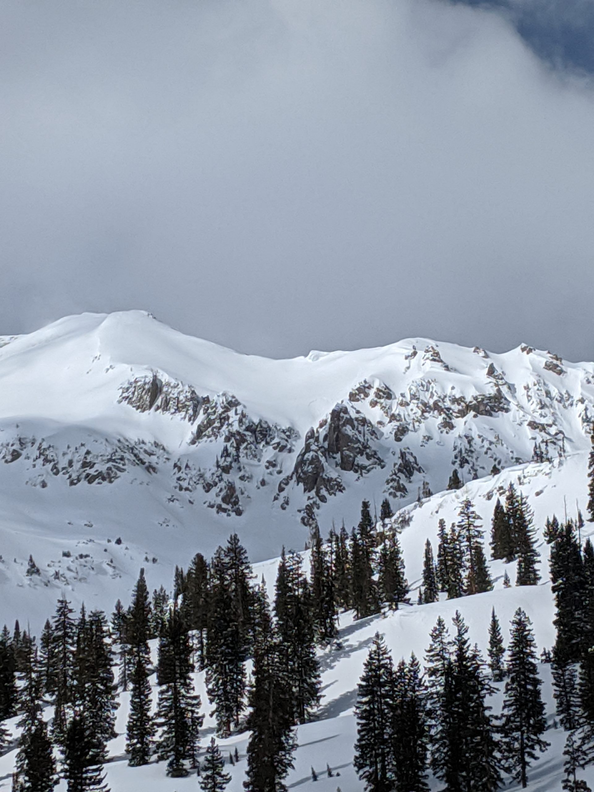
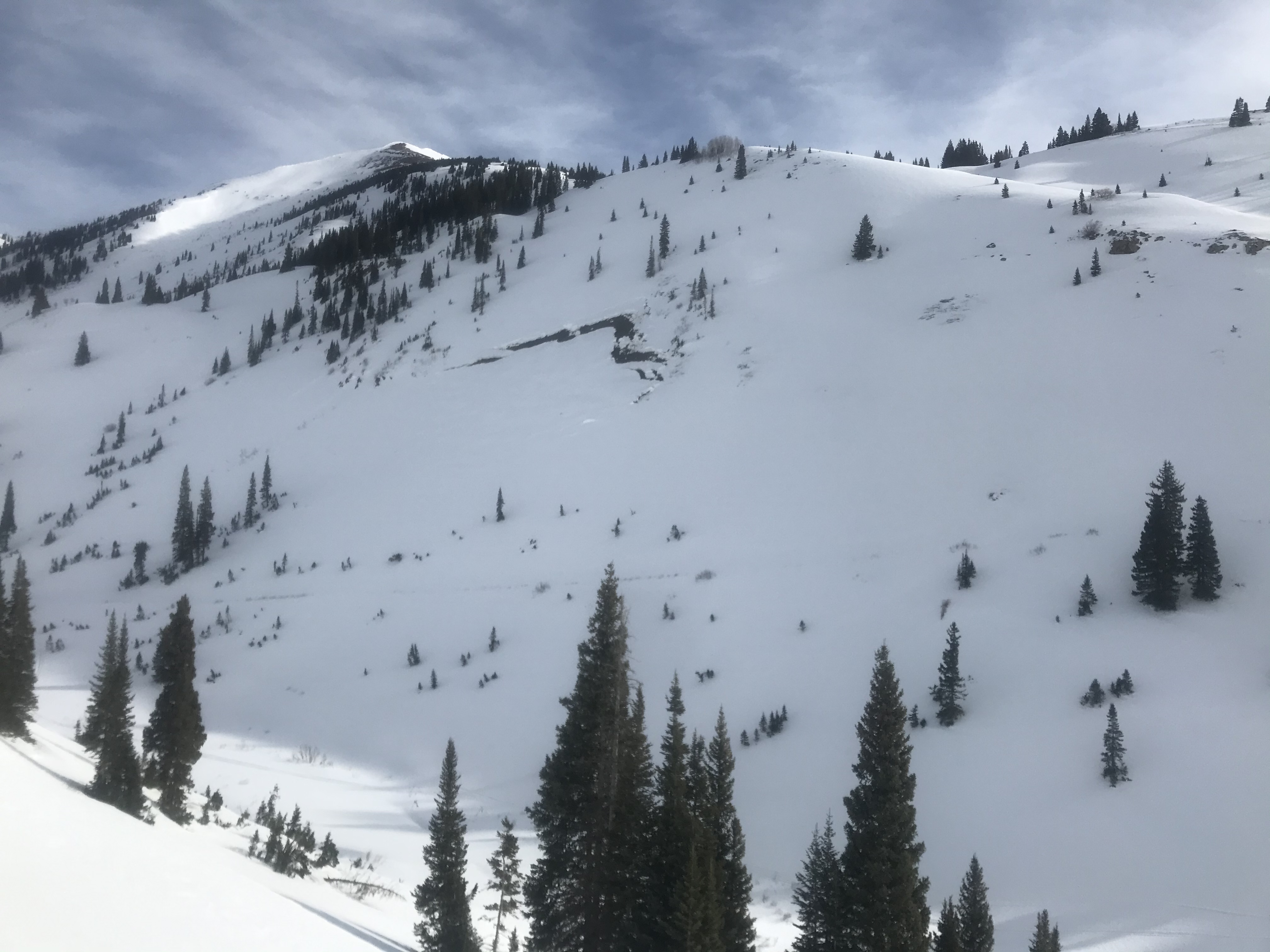
Location: Crested Butte Area
Date of Observation: 02/22/2020
Name: Rec 1 from the Tropics
Subject: Snodgrass in the Tropics
Aspect: East, South East, South
Elevation: BTL, NTL
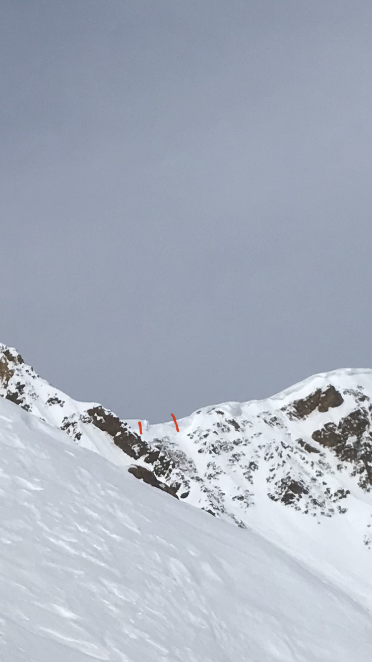
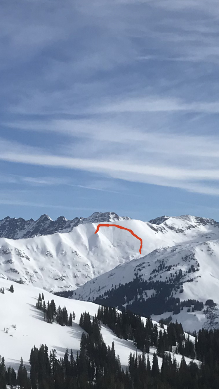
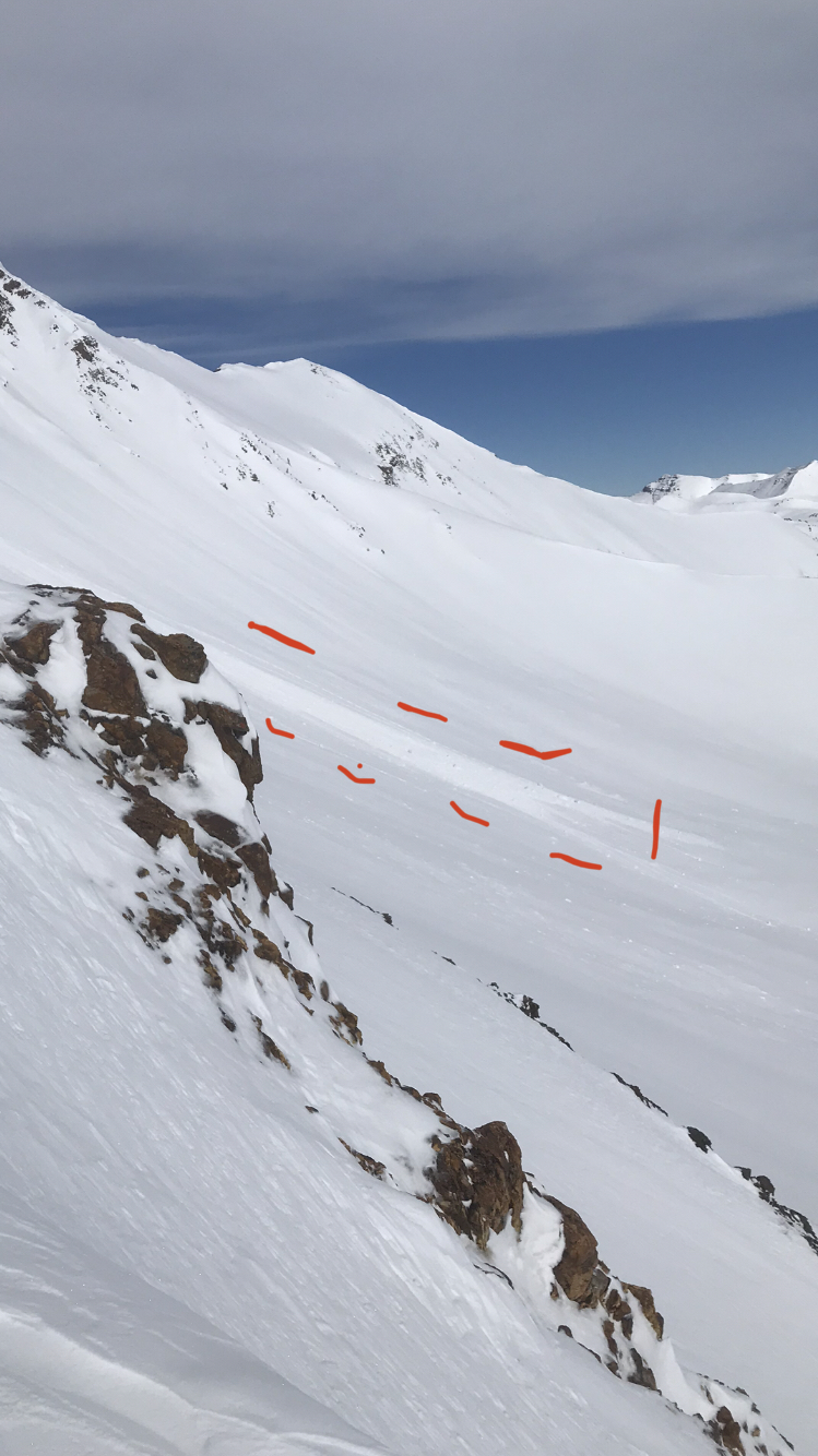
Avalanches:
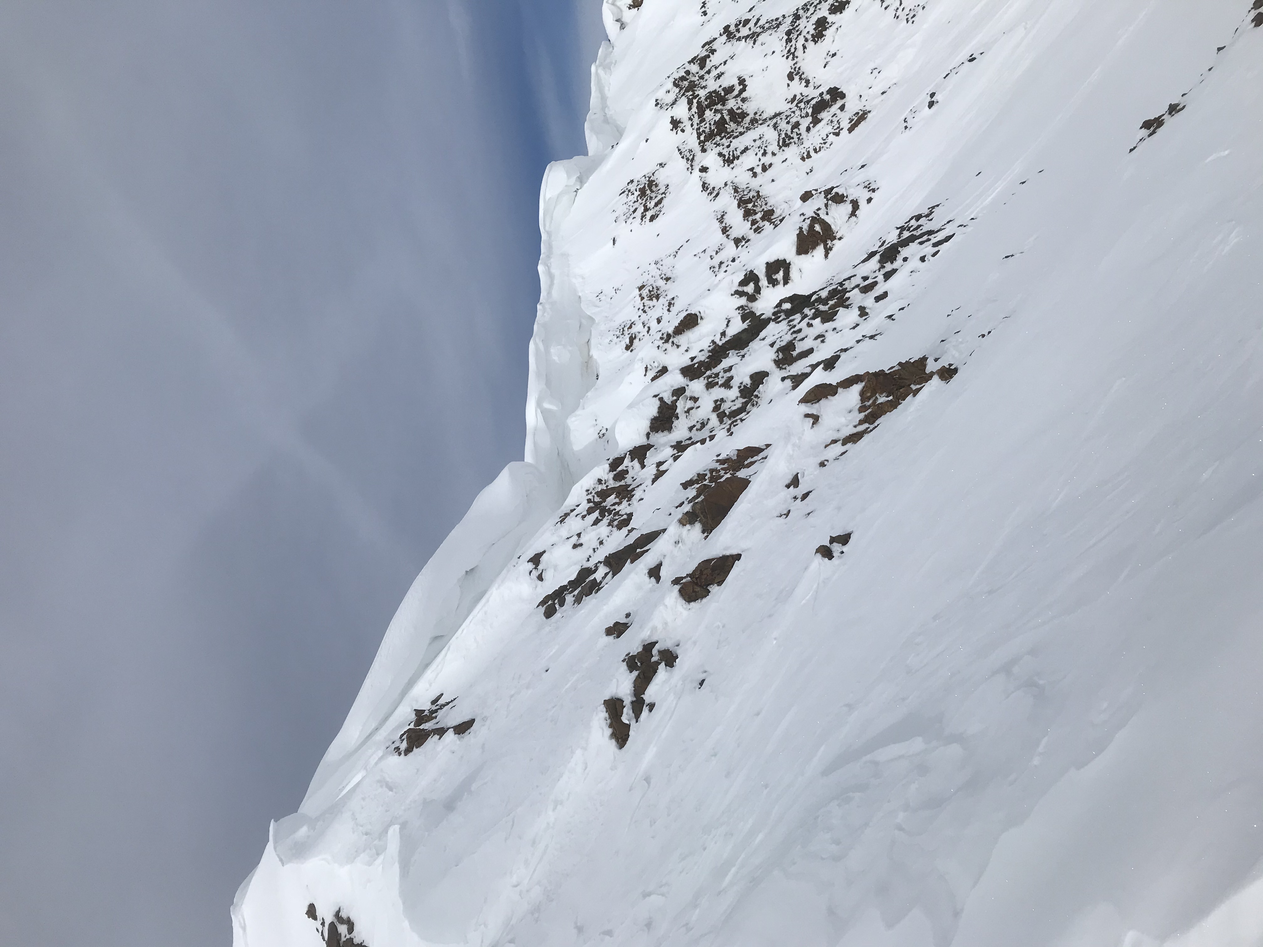
Slab avalanche observed on a westerly aspect NTL-ATL. Cornice formation observed below rideglines on easterly aspects on Mt. Axtel and Gothic.
Weather: Tropical, warm weather today when we went out at noon. From noon increasing cloud cover caused temperatures to drop significantly.
Winds remained calm to light throughout the afternoon.
Snowpack: NE aspect, NTL. HS 130. F-4F 30-40cm thick slab above facets on upper snowpack with 20cm depth hoar on bottom. ECTP19 down 30cm failing on 1-2mm facets.
NE aspect, NTL. HS 116. 1F-4F sitting on top of P hard crust. Multiple crusts observed within the snowpack. 3mm large grain facets/depth hoar at bottom. CTN. ECTX. Pulling at both columns after test, columns failed at basil facet layer.
NE aspect, NTL. HS 140. F-1F snow sitting on top of 17cm on large grain facets/depth hoar. CTM Q1. ECTX.